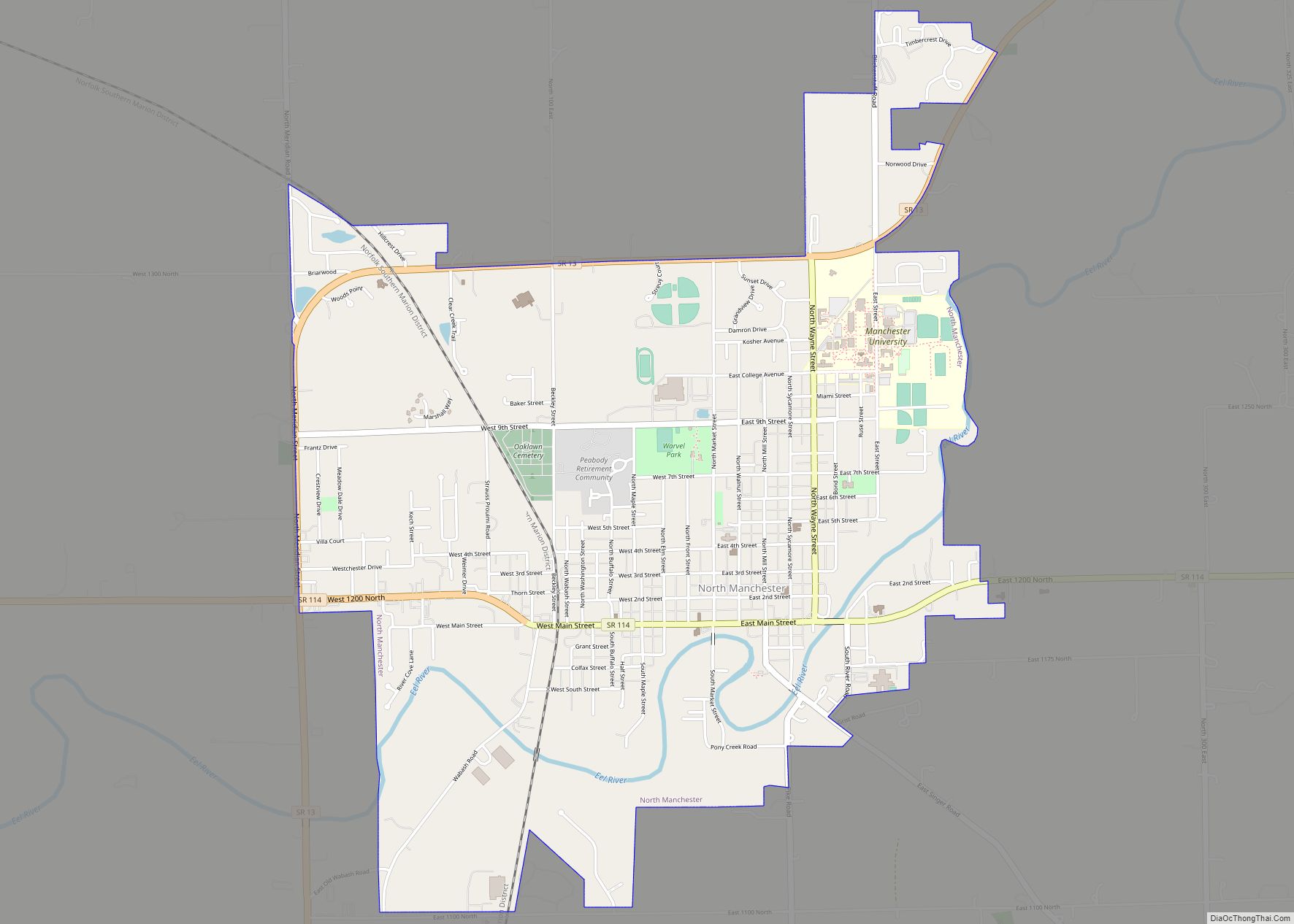
North Manchester is a town in Chester Township, Wabash County, in the U.S. state of Indiana. The population was 6,112 at the 2010 census.
| Name: | North Manchester town |
|---|---|
| LSAD Code: | 43 |
| LSAD Description: | town (suffix) |
| State: | Indiana |
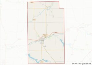
| County: | Wabash County |
| Elevation: | 771 ft (235 m) |
| Total Area: | 3.63 sq mi (9.39 km²) |
| Land Area: | 3.55 sq mi (9.18 km²) |
| Water Area: | 0.08 sq mi (0.20 km²) |
| Total Population: | 5,277 |
| Population Density: | 1,488.16/sq mi (574.63/km²) |
| ZIP code: | 46962 |
| Area code: | 260 |
| FIPS code: | 1854954 |
| GNISfeature ID: | 440278 |
| Website: | http://www.nmanchester.org/ |
Online Interactive Map
Click on ![]() to view map in "full screen" mode.
to view map in "full screen" mode.
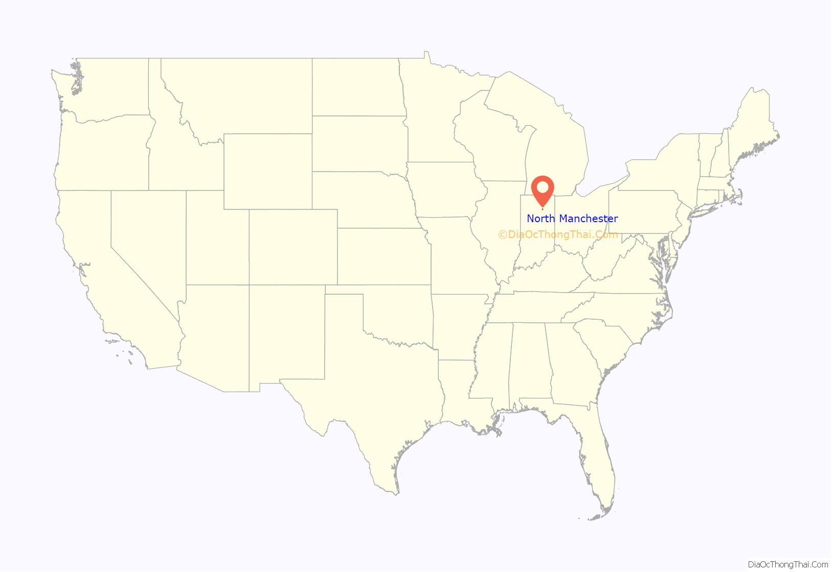
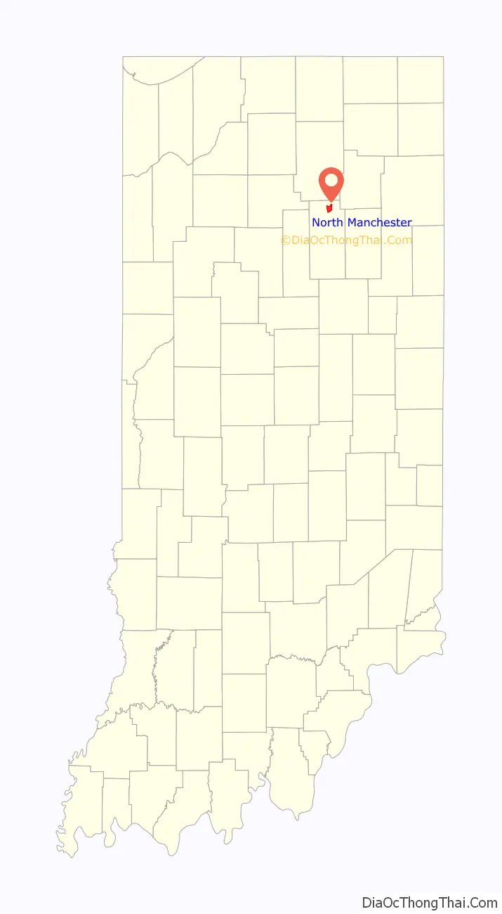
North Manchester location map. Where is North Manchester town?
History
Peter Ogan, acting as the town’s founder filed for recording the ‘Original Plat of Manchester’ on February 13, 1846. The community was named after Manchester, in England.
The North Manchester post office has been in operation since 1838.
In the early 20th century, automobiles were made here by the DeWitt Motor Company. On February 1, 1968, Martin Luther King Jr. gave a speech at Manchester College. This was the last time he spoke at a college campus, as he was assassinated eight weeks later. Robert F. Kennedy also visited Manchester College during his 1968 presidential campaign – he, too, would be assassinated a few weeks later. Other international visitors during that same decade include Duke Ellington, Buckminster Fuller, Ralph Nader, and Ramsey Lewis (whose concert was cut short by a bomb scare).
Thomas R. Marshall, who served as Governor of Indiana and as Vice President of the United States under President Woodrow Wilson, was born in North Manchester.
The Lentz House (Hotel Sheller), Manchester College Historic District, Thomas R. Marshall School, Noftzger-Adams House, North Manchester Covered Bridge, North Manchester Historic District, North Manchester Public Library, and Peabody Memorial Tower are listed on the National Register of Historic Places. The North Manchester Planing and Band Saw Mill was formerly listed.
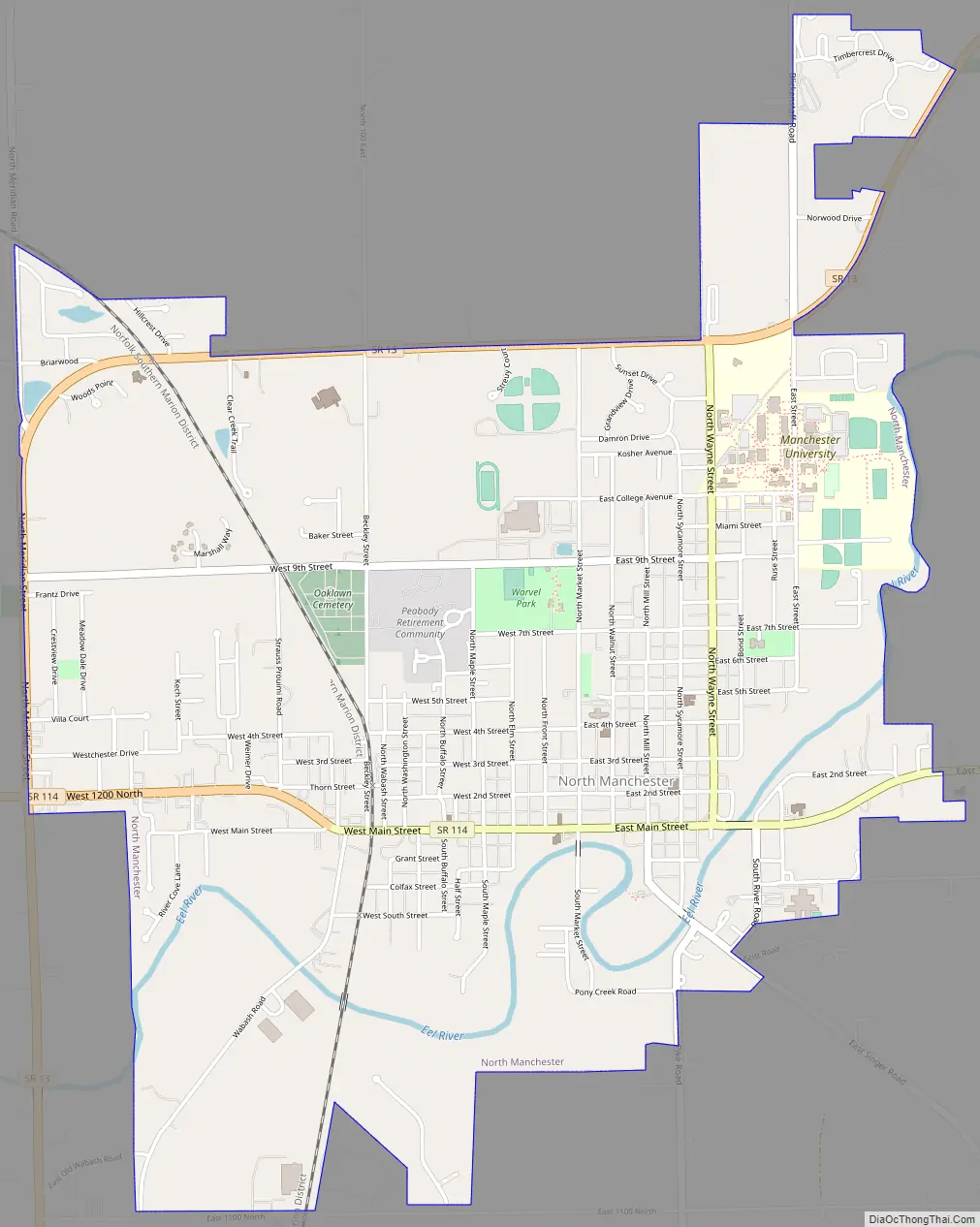
North Manchester Road Map
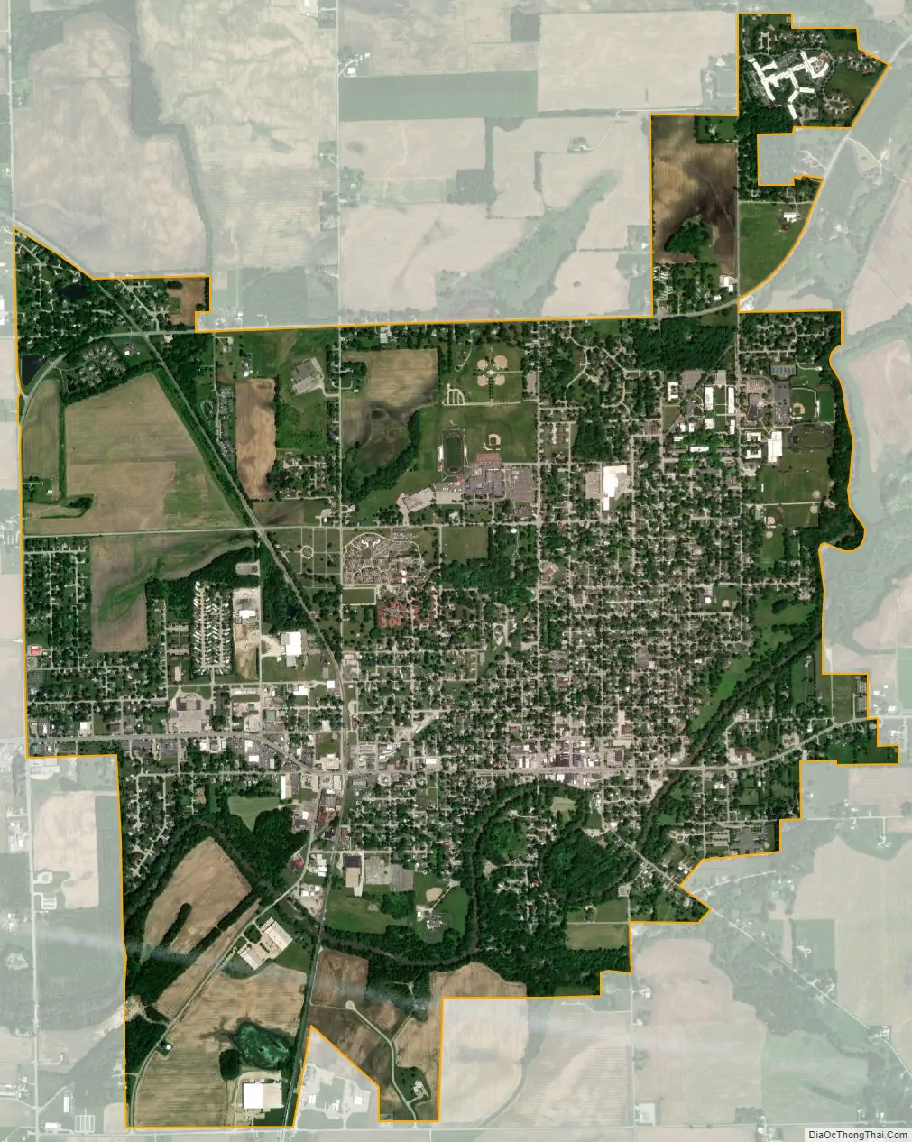
North Manchester city Satellite Map
Geography
North Manchester is located at 41°0′14″N 85°46′21″W / 41.00389°N 85.77250°W / 41.00389; -85.77250 (41.003951, -85.772573).
According to the 2010 census, North Manchester has a total area of 3.61 square miles (9.35 km), of which 3.53 square miles (9.14 km) (or 97.78%) is land and 0.08 square miles (0.21 km) (or 2.22%) is water.
See also
Map of Indiana State and its subdivision:- Adams
- Allen
- Bartholomew
- Benton
- Blackford
- Boone
- Brown
- Carroll
- Cass
- Clark
- Clay
- Clinton
- Crawford
- Daviess
- De Kalb
- Dearborn
- Decatur
- Delaware
- Dubois
- Elkhart
- Fayette
- Floyd
- Fountain
- Franklin
- Fulton
- Gibson
- Grant
- Greene
- Hamilton
- Hancock
- Harrison
- Hendricks
- Henry
- Howard
- Huntington
- Jackson
- Jasper
- Jay
- Jefferson
- Jennings
- Johnson
- Knox
- Kosciusko
- LaGrange
- Lake
- Lake Michigan
- LaPorte
- Lawrence
- Madison
- Marion
- Marshall
- Martin
- Miami
- Monroe
- Montgomery
- Morgan
- Newton
- Noble
- Ohio
- Orange
- Owen
- Parke
- Perry
- Pike
- Porter
- Posey
- Pulaski
- Putnam
- Randolph
- Ripley
- Rush
- Saint Joseph
- Scott
- Shelby
- Spencer
- Starke
- Steuben
- Sullivan
- Switzerland
- Tippecanoe
- Tipton
- Union
- Vanderburgh
- Vermillion
- Vigo
- Wabash
- Warren
- Warrick
- Washington
- Wayne
- Wells
- White
- Whitley
- Alabama
- Alaska
- Arizona
- Arkansas
- California
- Colorado
- Connecticut
- Delaware
- District of Columbia
- Florida
- Georgia
- Hawaii
- Idaho
- Illinois
- Indiana
- Iowa
- Kansas
- Kentucky
- Louisiana
- Maine
- Maryland
- Massachusetts
- Michigan
- Minnesota
- Mississippi
- Missouri
- Montana
- Nebraska
- Nevada
- New Hampshire
- New Jersey
- New Mexico
- New York
- North Carolina
- North Dakota
- Ohio
- Oklahoma
- Oregon
- Pennsylvania
- Rhode Island
- South Carolina
- South Dakota
- Tennessee
- Texas
- Utah
- Vermont
- Virginia
- Washington
- West Virginia
- Wisconsin
- Wyoming