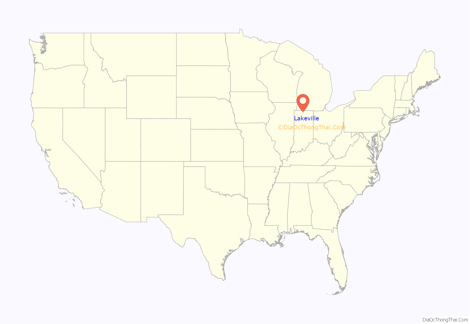
Lakeville is a town 11 miles (18 km) south of South Bend in Union Township, St. Joseph County, in the U.S. state of Indiana. The population was 786 at the 2010 Census. It is part of the South Bend–Mishawaka metropolitan area.
| Name: | Lakeville town |
|---|---|
| LSAD Code: | 43 |
| LSAD Description: | town (suffix) |
| State: | Indiana |
| County: | St. Joseph County |
| Elevation: | 843 ft (257 m) |
| Total Area: | 0.63 sq mi (1.64 km²) |
| Land Area: | 0.63 sq mi (1.63 km²) |
| Water Area: | 0.00 sq mi (0.01 km²) |
| Total Population: | 879 |
| Population Density: | 1,393.03/sq mi (538.04/km²) |
| ZIP code: | 46536 |
| Area code: | 574 |
| FIPS code: | 1841670 |
| GNISfeature ID: | 452658 |
Online Interactive Map
Click on ![]() to view map in "full screen" mode.
to view map in "full screen" mode.
Lakeville location map. Where is Lakeville town?
History
The area of Lakeville was first settled by Euro-Americans in 1836. The railroad in 1845 spurred further growth. By the 1890s there were 13 one-room school houses in the vicinity. In 1898 they were consolidated into one two-story elementary school in Lakeville. The town of Lakeville was incorporated in 1902.
The Lakeville post office has been in operation since 1850.
Lakeville High School was listed on the National Register of Historic Places in 1991.
Hoosier Racing Tire Corporation, owned since 2016 by parent company Continental AG has their Headquarters, Track Services, and Warehouse operations in Lakeville with Manufacturing located 20 miles south in Plymouth, Indiana.
Lakeville was the site of two different multiple murders. In 1989, four members of the family of Reverend Bob Pelley were shot dead in their Lakeville home. In 2000, three workmen were shot and killed in an upscale home in Lakeville. The 2000 case has been featured twice on television documentaries, once in an episode of Extreme Forensics on June 7, 2010, titled “Rooted in Murder”, and once in an episode of Forensic Files II on March 13, 2022, titled “Dog Proof”.
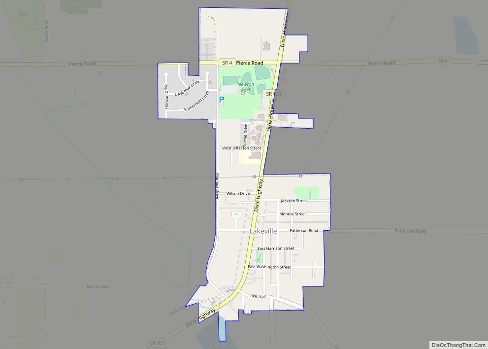
Lakeville Road Map
Lakeville city Satellite Map
Geography
Lakeville is located at 41°31′26″N 86°16′22″W / 41.52389°N 86.27278°W / 41.52389; -86.27278 (41.523919, -86.272713).
According to the 2010 census, Lakeville has a total area of 0.61 square miles (1.58 km), all land.
Climate
See also
Map of Indiana State and its subdivision:- Adams
- Allen
- Bartholomew
- Benton
- Blackford
- Boone
- Brown
- Carroll
- Cass
- Clark
- Clay
- Clinton
- Crawford
- Daviess
- De Kalb
- Dearborn
- Decatur
- Delaware
- Dubois
- Elkhart
- Fayette
- Floyd
- Fountain
- Franklin
- Fulton
- Gibson
- Grant
- Greene
- Hamilton
- Hancock
- Harrison
- Hendricks
- Henry
- Howard
- Huntington
- Jackson
- Jasper
- Jay
- Jefferson
- Jennings
- Johnson
- Knox
- Kosciusko
- LaGrange
- Lake
- Lake Michigan
- LaPorte
- Lawrence
- Madison
- Marion
- Marshall
- Martin
- Miami
- Monroe
- Montgomery
- Morgan
- Newton
- Noble
- Ohio
- Orange
- Owen
- Parke
- Perry
- Pike
- Porter
- Posey
- Pulaski
- Putnam
- Randolph
- Ripley
- Rush
- Saint Joseph
- Scott
- Shelby
- Spencer
- Starke
- Steuben
- Sullivan
- Switzerland
- Tippecanoe
- Tipton
- Union
- Vanderburgh
- Vermillion
- Vigo
- Wabash
- Warren
- Warrick
- Washington
- Wayne
- Wells
- White
- Whitley
- Alabama
- Alaska
- Arizona
- Arkansas
- California
- Colorado
- Connecticut
- Delaware
- District of Columbia
- Florida
- Georgia
- Hawaii
- Idaho
- Illinois
- Indiana
- Iowa
- Kansas
- Kentucky
- Louisiana
- Maine
- Maryland
- Massachusetts
- Michigan
- Minnesota
- Mississippi
- Missouri
- Montana
- Nebraska
- Nevada
- New Hampshire
- New Jersey
- New Mexico
- New York
- North Carolina
- North Dakota
- Ohio
- Oklahoma
- Oregon
- Pennsylvania
- Rhode Island
- South Carolina
- South Dakota
- Tennessee
- Texas
- Utah
- Vermont
- Virginia
- Washington
- West Virginia
- Wisconsin
- Wyoming
