Monroe is a town in Washington and Monroe townships, Adams County, Indiana, United States. The population of the town was 945 residents at the 2019 census. Adams Central Community Schools is located in Monroe.
| Name: | Monroe town |
|---|---|
| LSAD Code: | 43 |
| LSAD Description: | town (suffix) |
| State: | Indiana |
| County: | Adams County |
| Elevation: | 833 ft (254 m) |
| Total Area: | 0.68 sq mi (1.76 km²) |
| Land Area: | 0.68 sq mi (1.76 km²) |
| Water Area: | 0.00 sq mi (0.00 km²) |
| Total Population: | 885 |
| Population Density: | 1,301.47/sq mi (502.82/km²) |
| Area code: | 260 |
| FIPS code: | 1850202 |
| GNISfeature ID: | 439338 |
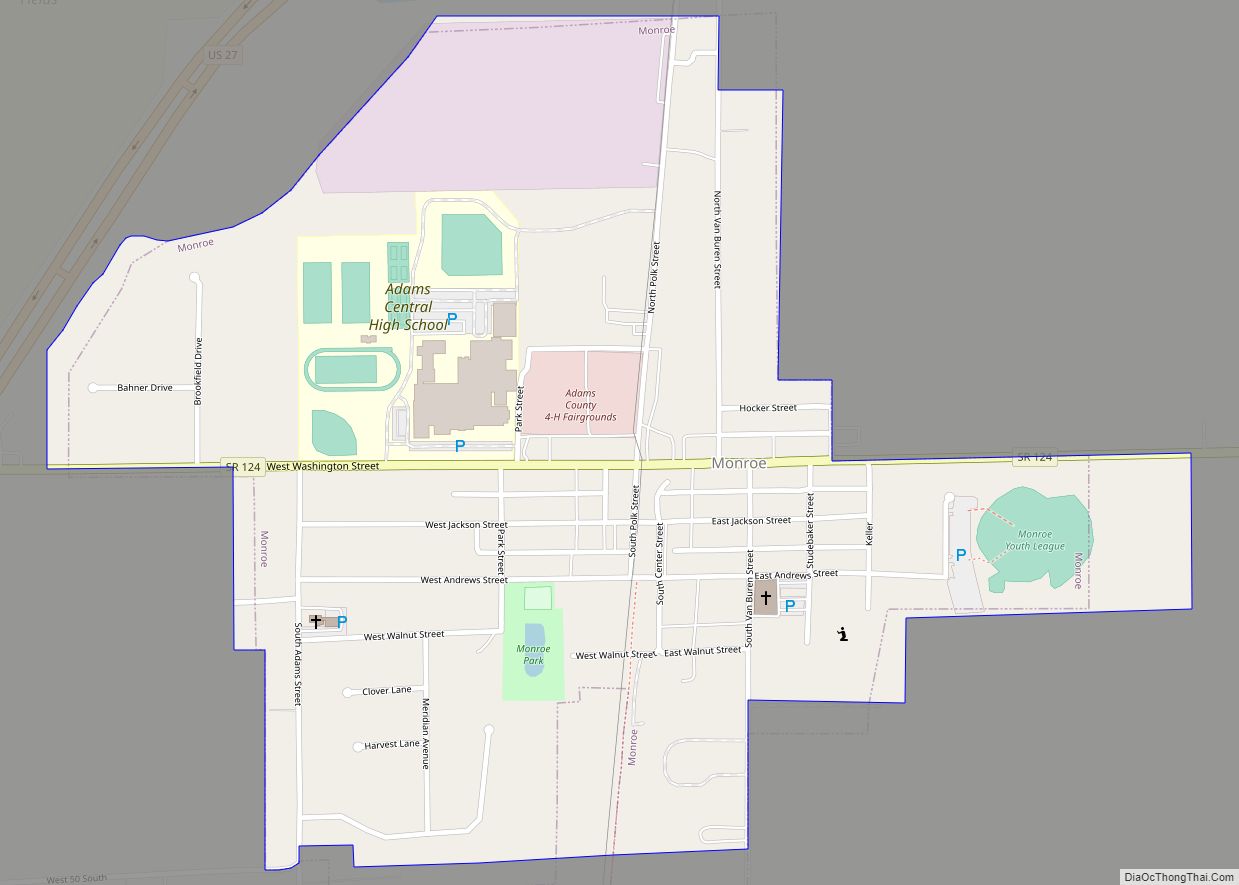
Online Interactive Map
Click on ![]() to view map in "full screen" mode.
to view map in "full screen" mode.
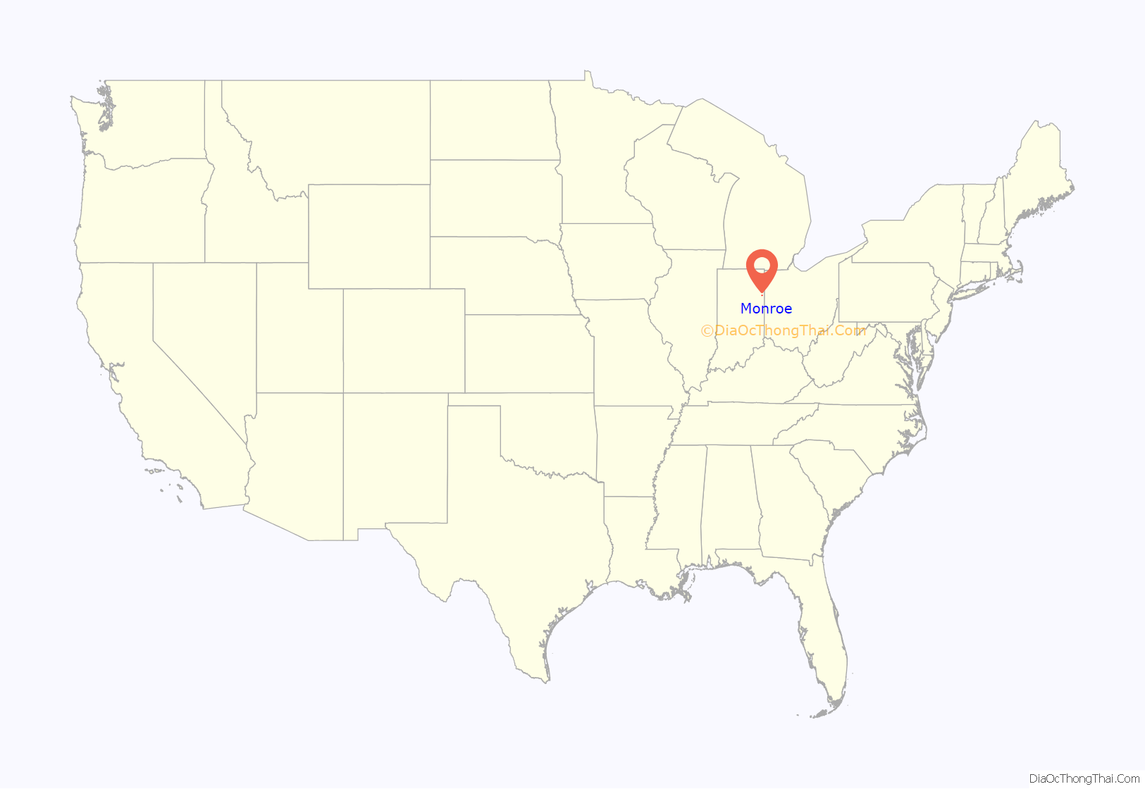
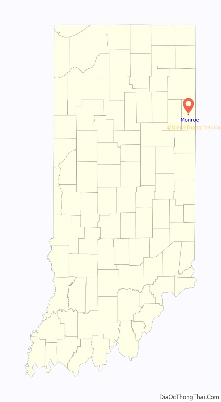
Monroe location map. Where is Monroe town?
History
Monroe was platted in 1847. It was named for James Monroe, fifth President of the United States.
Monroe was originally the Adams County seat but this was moved to Decatur after flooding problems in the town.
The Monroe area has consistently been the American region with the highest percentage of people descended from those of Swiss nationality. Most local residents who have Swiss heritage are of Anabaptist faith, or have Swiss Mennonite and Swiss Amish backgrounds, as this area of Indiana was settled by Swiss Anabaptists in the 1800s. Local Amish still speak a Swiss German dialect, which is distinct from most other Amish, who speak a Pennsylvania German dialect.
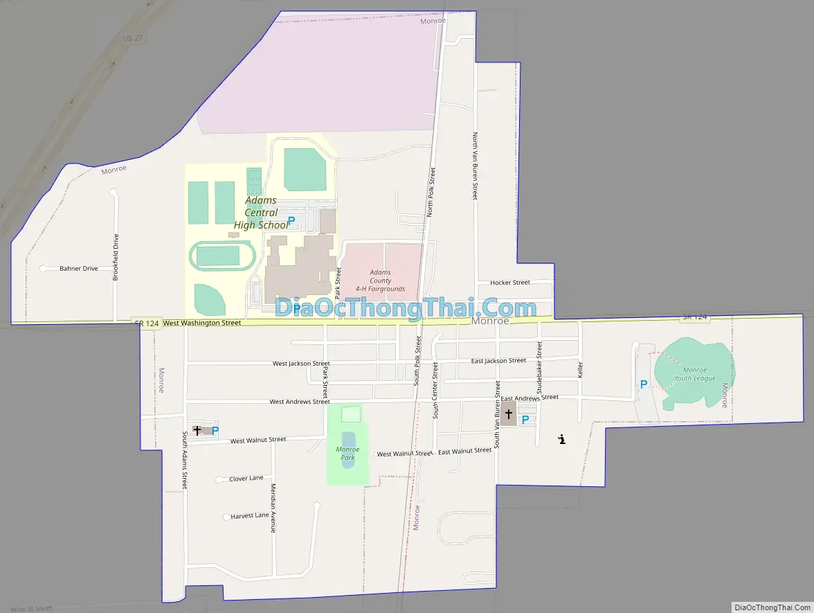
Monroe Road Map
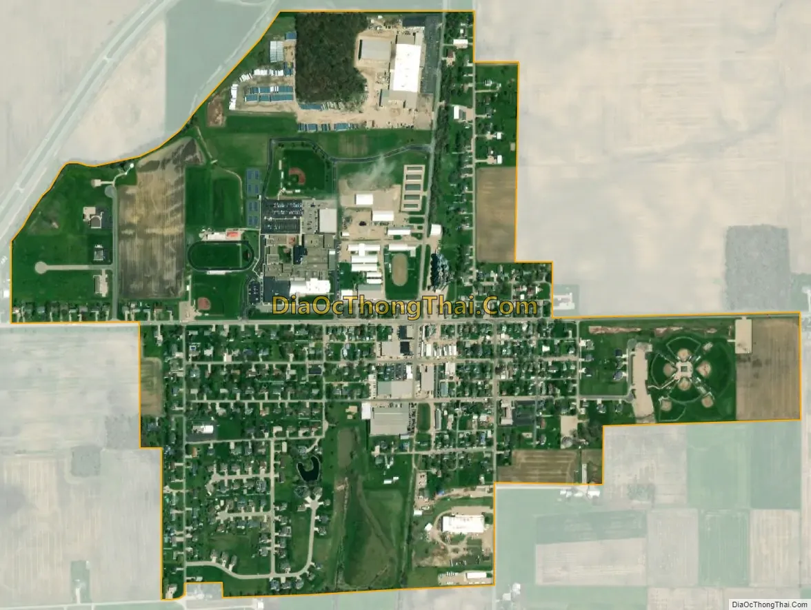
Monroe city Satellite Map
Geography
Monroe is located at 40°44′40″N 84°56′26″W / 40.74444°N 84.94056°W / 40.74444; -84.94056 (40.744555, -84.940506).
According to the 2010 census, Monroe has a total area of 0.63 square miles (1.63 km), all land.
See also
Map of Indiana State and its subdivision:- Adams
- Allen
- Bartholomew
- Benton
- Blackford
- Boone
- Brown
- Carroll
- Cass
- Clark
- Clay
- Clinton
- Crawford
- Daviess
- De Kalb
- Dearborn
- Decatur
- Delaware
- Dubois
- Elkhart
- Fayette
- Floyd
- Fountain
- Franklin
- Fulton
- Gibson
- Grant
- Greene
- Hamilton
- Hancock
- Harrison
- Hendricks
- Henry
- Howard
- Huntington
- Jackson
- Jasper
- Jay
- Jefferson
- Jennings
- Johnson
- Knox
- Kosciusko
- LaGrange
- Lake
- Lake Michigan
- LaPorte
- Lawrence
- Madison
- Marion
- Marshall
- Martin
- Miami
- Monroe
- Montgomery
- Morgan
- Newton
- Noble
- Ohio
- Orange
- Owen
- Parke
- Perry
- Pike
- Porter
- Posey
- Pulaski
- Putnam
- Randolph
- Ripley
- Rush
- Saint Joseph
- Scott
- Shelby
- Spencer
- Starke
- Steuben
- Sullivan
- Switzerland
- Tippecanoe
- Tipton
- Union
- Vanderburgh
- Vermillion
- Vigo
- Wabash
- Warren
- Warrick
- Washington
- Wayne
- Wells
- White
- Whitley
- Alabama
- Alaska
- Arizona
- Arkansas
- California
- Colorado
- Connecticut
- Delaware
- District of Columbia
- Florida
- Georgia
- Hawaii
- Idaho
- Illinois
- Indiana
- Iowa
- Kansas
- Kentucky
- Louisiana
- Maine
- Maryland
- Massachusetts
- Michigan
- Minnesota
- Mississippi
- Missouri
- Montana
- Nebraska
- Nevada
- New Hampshire
- New Jersey
- New Mexico
- New York
- North Carolina
- North Dakota
- Ohio
- Oklahoma
- Oregon
- Pennsylvania
- Rhode Island
- South Carolina
- South Dakota
- Tennessee
- Texas
- Utah
- Vermont
- Virginia
- Washington
- West Virginia
- Wisconsin
- Wyoming