Montgomery is a town in Barr Township, Daviess County, Indiana, United States. The population was 343 at the 2010 census.
| Name: | Montgomery town |
|---|---|
| LSAD Code: | 43 |
| LSAD Description: | town (suffix) |
| State: | Indiana |
| County: | Daviess County |
| Elevation: | 525 ft (160 m) |
| Total Area: | 1.66 sq mi (4.31 km²) |
| Land Area: | 1.62 sq mi (4.19 km²) |
| Water Area: | 0.05 sq mi (0.12 km²) |
| Total Population: | 792 |
| Population Density: | 490.10/sq mi (189.20/km²) |
| ZIP code: | 47558 |
| Area code: | 812 |
| FIPS code: | 1850688 |
| GNISfeature ID: | 2396777 |
Online Interactive Map
Click on ![]() to view map in "full screen" mode.
to view map in "full screen" mode.
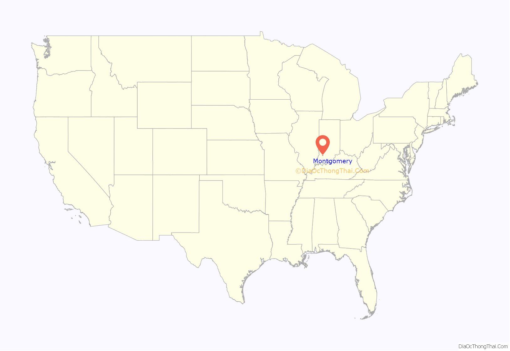
Montgomery location map. Where is Montgomery town?
History
Montgomery was laid out in 1865 by Valentine B. Montgomery. Montgomery was a station and shipping point on the Ohio and Mississippi Railway.
St Peter’s church is one of the oldest Catholic parishes in Indiana. The first church was a log-cabin built in 1818, followed by frame church in 1823. In 1841, bishop Célestine Guynemer de la Hailandière gave the parish and the land to French priest and missionary Edward Sorin, CSC who came with seven Brothers of the Congregation of Holy Cross. At the time the property consisted in 160-acre tract of land, the frame church with two additional small rooms, and two log cabins. One cabin was used as a school conducted by Charles Rother who took the name Brother Joseph. In the early months of 1842, Sorin started to conceive the idea of founding a college, although one was already present in Vincennes (the College of St. Gabriel, which failed soon after). Sorin thought of founding the college there in St Peters, but he met the opposition of the bishop who lamented that this was not in the original plans and it conflicted with the existence of St. Gabriel’s college. However, the bishops also stated that he was not against a founding of a college elsewhere, provided that this effort would not prevent him his Brothers from accomplishing their education duties. Near the end of October the bishop offered Sorin certain lands at the furthermost limits of the diocese in South Bend. Sorin left St. Peters and proceeded to found the University of Notre Dame.
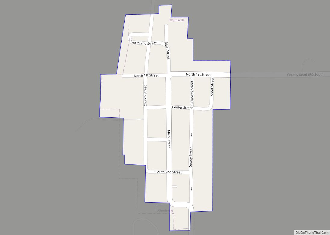
Montgomery Road Map
Montgomery city Satellite Map
Geography
According to the 2010 census, Montgomery has a total area of 0.24 square miles (0.62 km), all land.
See also
Map of Indiana State and its subdivision:- Adams
- Allen
- Bartholomew
- Benton
- Blackford
- Boone
- Brown
- Carroll
- Cass
- Clark
- Clay
- Clinton
- Crawford
- Daviess
- De Kalb
- Dearborn
- Decatur
- Delaware
- Dubois
- Elkhart
- Fayette
- Floyd
- Fountain
- Franklin
- Fulton
- Gibson
- Grant
- Greene
- Hamilton
- Hancock
- Harrison
- Hendricks
- Henry
- Howard
- Huntington
- Jackson
- Jasper
- Jay
- Jefferson
- Jennings
- Johnson
- Knox
- Kosciusko
- LaGrange
- Lake
- Lake Michigan
- LaPorte
- Lawrence
- Madison
- Marion
- Marshall
- Martin
- Miami
- Monroe
- Montgomery
- Morgan
- Newton
- Noble
- Ohio
- Orange
- Owen
- Parke
- Perry
- Pike
- Porter
- Posey
- Pulaski
- Putnam
- Randolph
- Ripley
- Rush
- Saint Joseph
- Scott
- Shelby
- Spencer
- Starke
- Steuben
- Sullivan
- Switzerland
- Tippecanoe
- Tipton
- Union
- Vanderburgh
- Vermillion
- Vigo
- Wabash
- Warren
- Warrick
- Washington
- Wayne
- Wells
- White
- Whitley
- Alabama
- Alaska
- Arizona
- Arkansas
- California
- Colorado
- Connecticut
- Delaware
- District of Columbia
- Florida
- Georgia
- Hawaii
- Idaho
- Illinois
- Indiana
- Iowa
- Kansas
- Kentucky
- Louisiana
- Maine
- Maryland
- Massachusetts
- Michigan
- Minnesota
- Mississippi
- Missouri
- Montana
- Nebraska
- Nevada
- New Hampshire
- New Jersey
- New Mexico
- New York
- North Carolina
- North Dakota
- Ohio
- Oklahoma
- Oregon
- Pennsylvania
- Rhode Island
- South Carolina
- South Dakota
- Tennessee
- Texas
- Utah
- Vermont
- Virginia
- Washington
- West Virginia
- Wisconsin
- Wyoming
