Montmorenci is an unincorporated census-designated place in Shelby Township, Tippecanoe County, Indiana. Older maps sometimes spell the name Montmorency or Montmorencie.
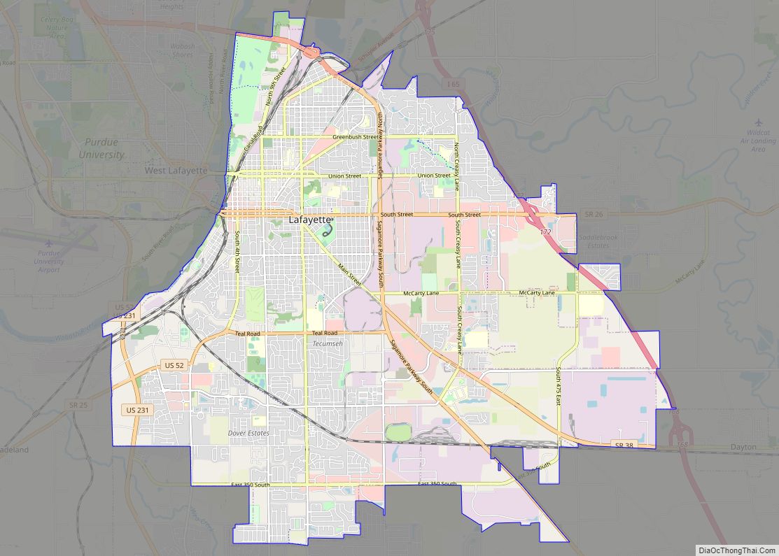
It is part of the Lafayette, Indiana Metropolitan Statistical Area.
| Name: | Montmorenci CDP |
|---|---|
| LSAD Code: | 57 |
| LSAD Description: | CDP (suffix) |
| State: | Indiana |
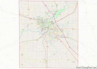
| County: | Tippecanoe County |
| Elevation: | 699 ft (213 m) |
| Total Area: | 1.59 sq mi (4.13 km²) |
| Land Area: | 1.59 sq mi (4.12 km²) |
| Water Area: | 0.00 sq mi (0.01 km²) |
| Total Population: | 173 |
| Population Density: | 108.74/sq mi (41.99/km²) |
| ZIP code: | 47906 |
| Area code: | 765 |
| FIPS code: | 1850778 |
| GNISfeature ID: | 439370 |
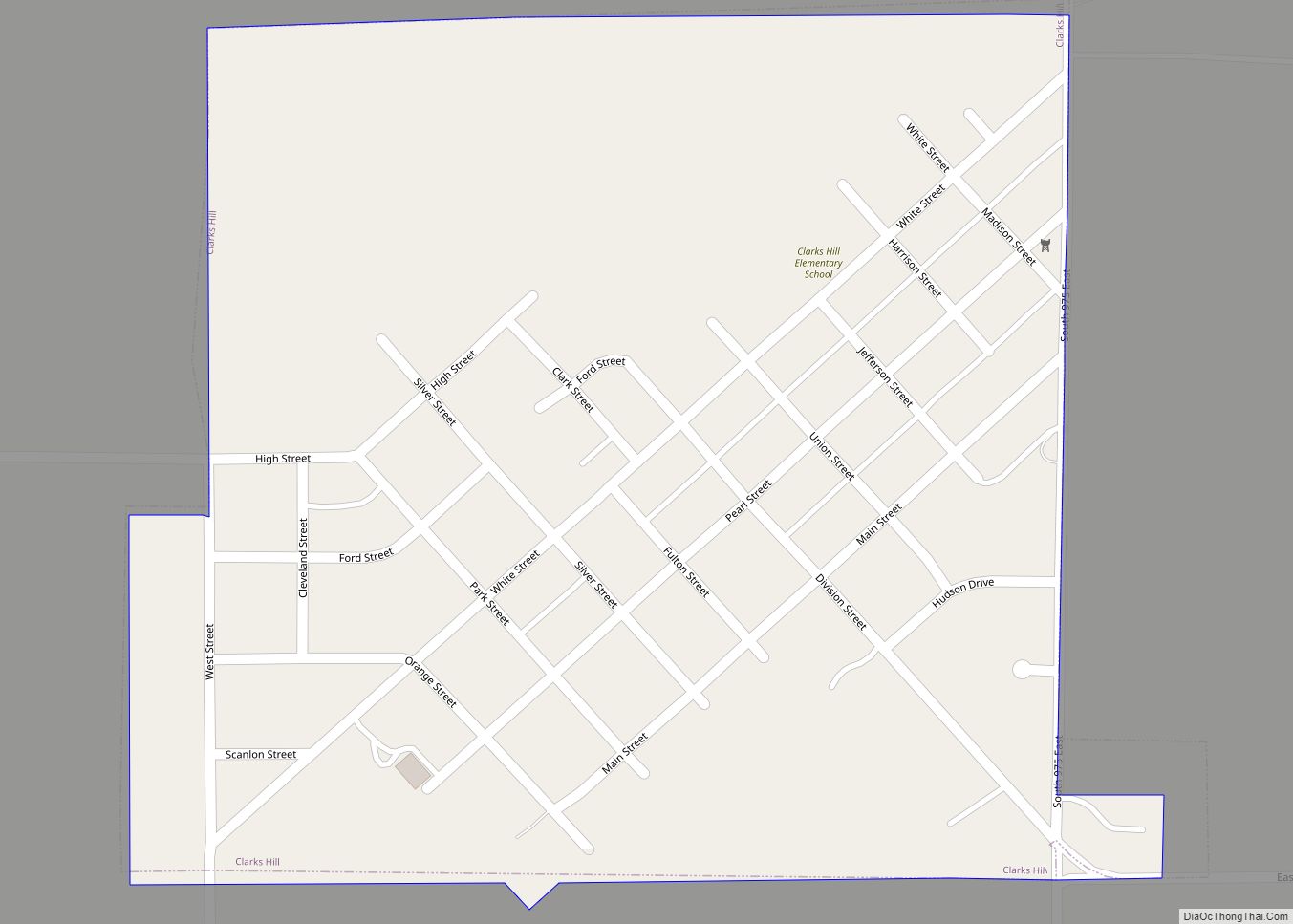
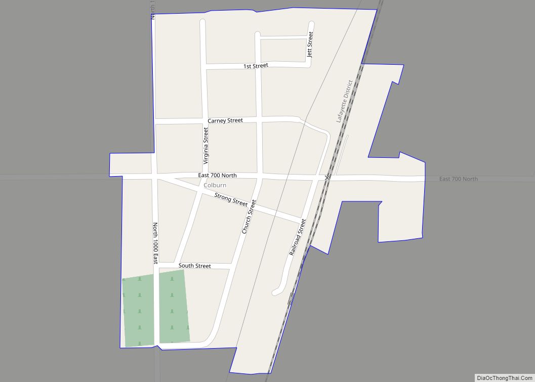
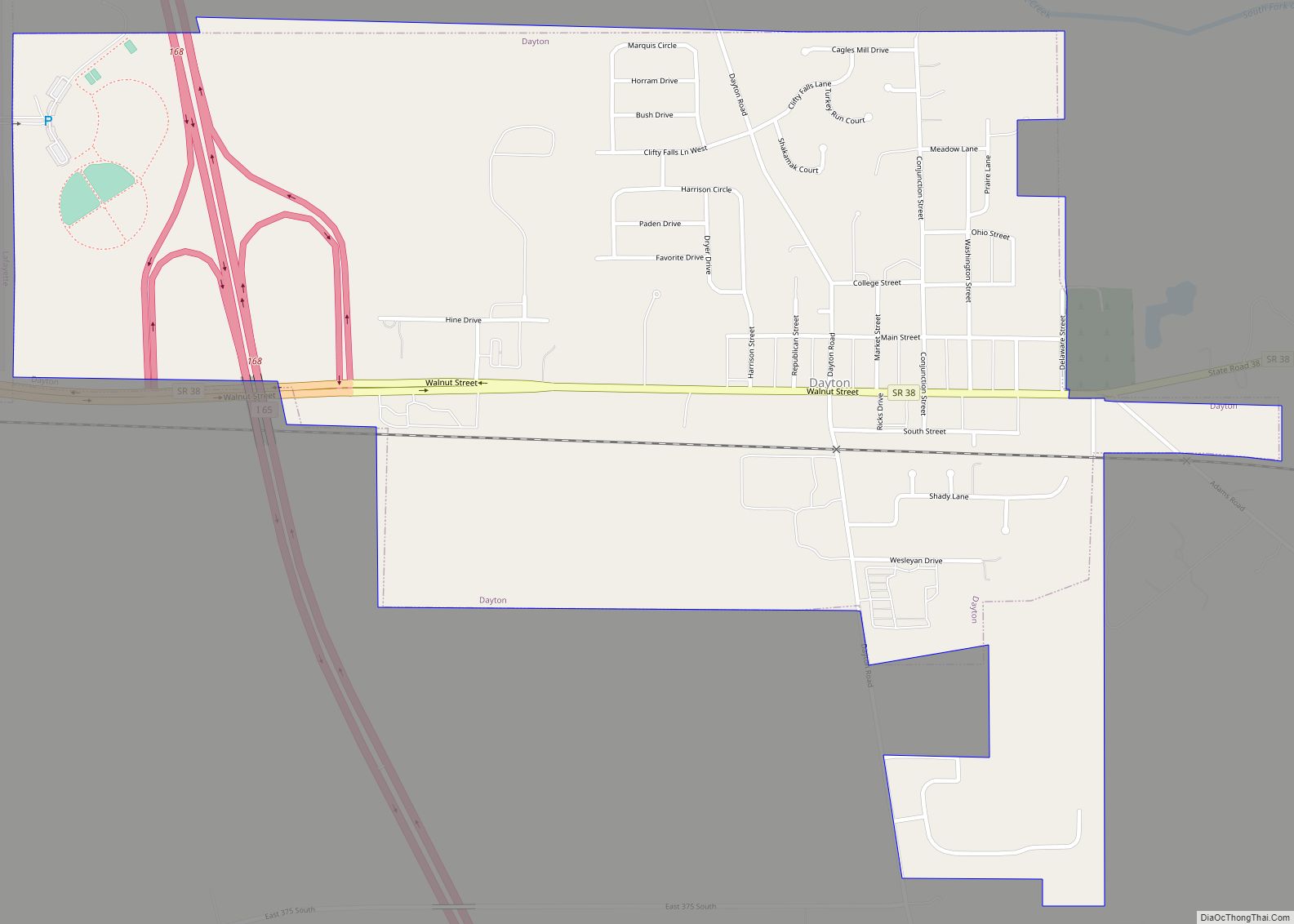
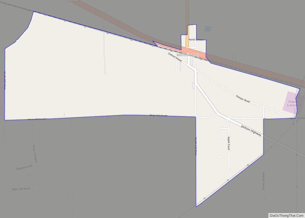
Online Interactive Map
Click on ![]() to view map in "full screen" mode.
to view map in "full screen" mode.
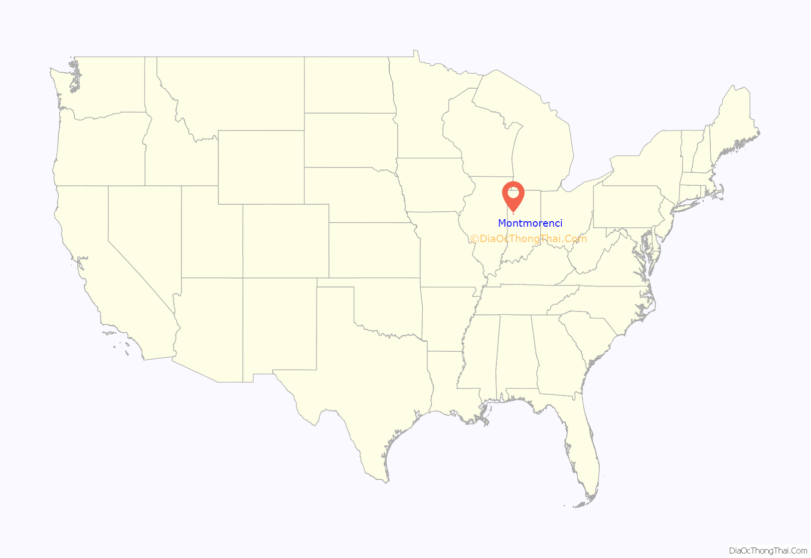
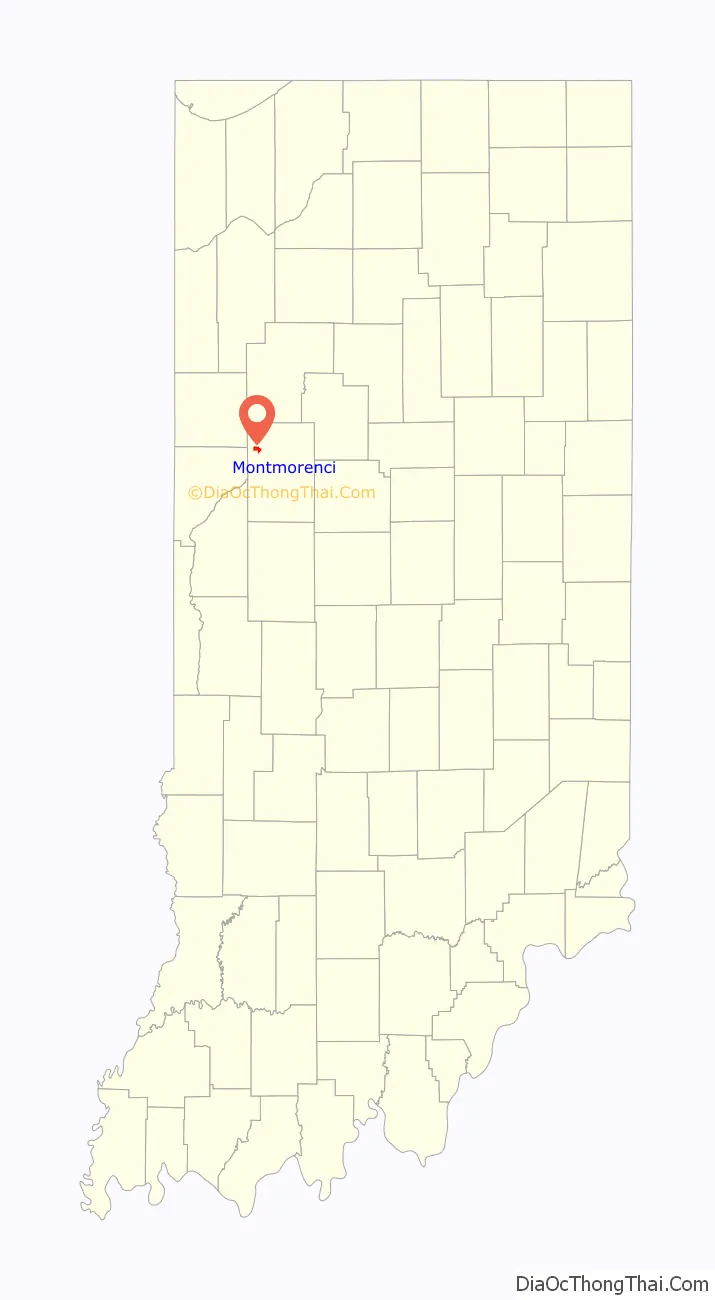
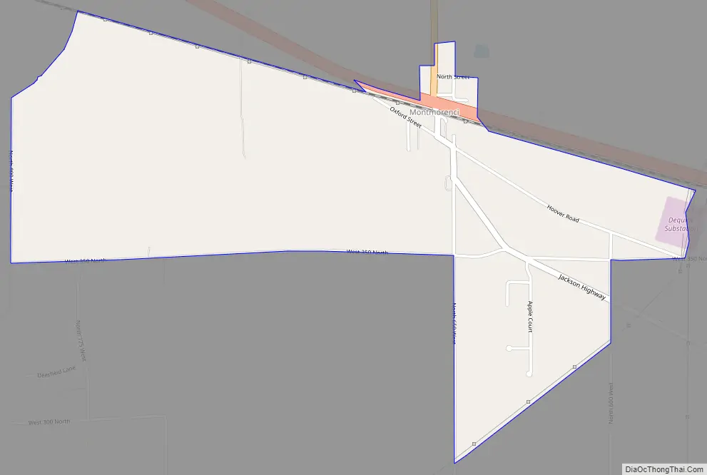
Montmorenci location map. Where is Montmorenci CDP?
History
An old variant name of the community was called Bringham’s Grove.
A post office was established under the name Bringham’s Grove in 1846, and was renamed to Montmorenci in 1853. It is currently not in operation.
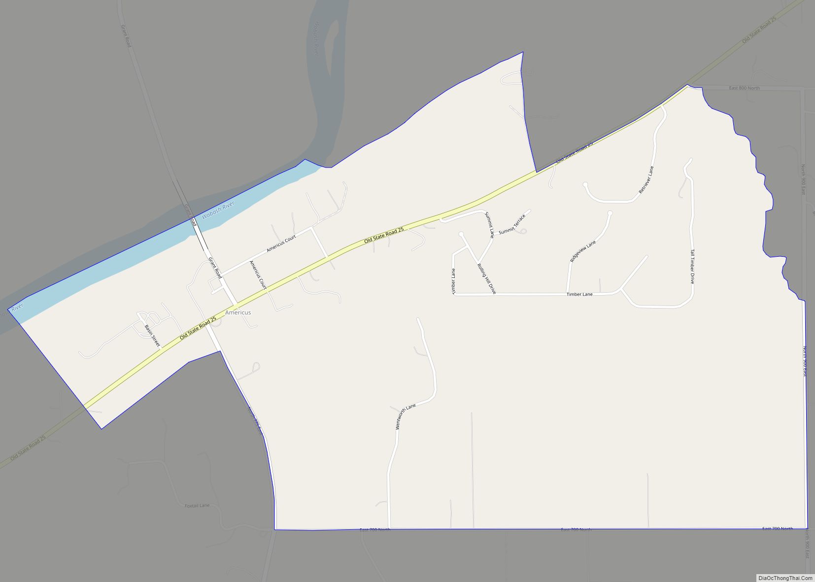
Montmorenci Road Map
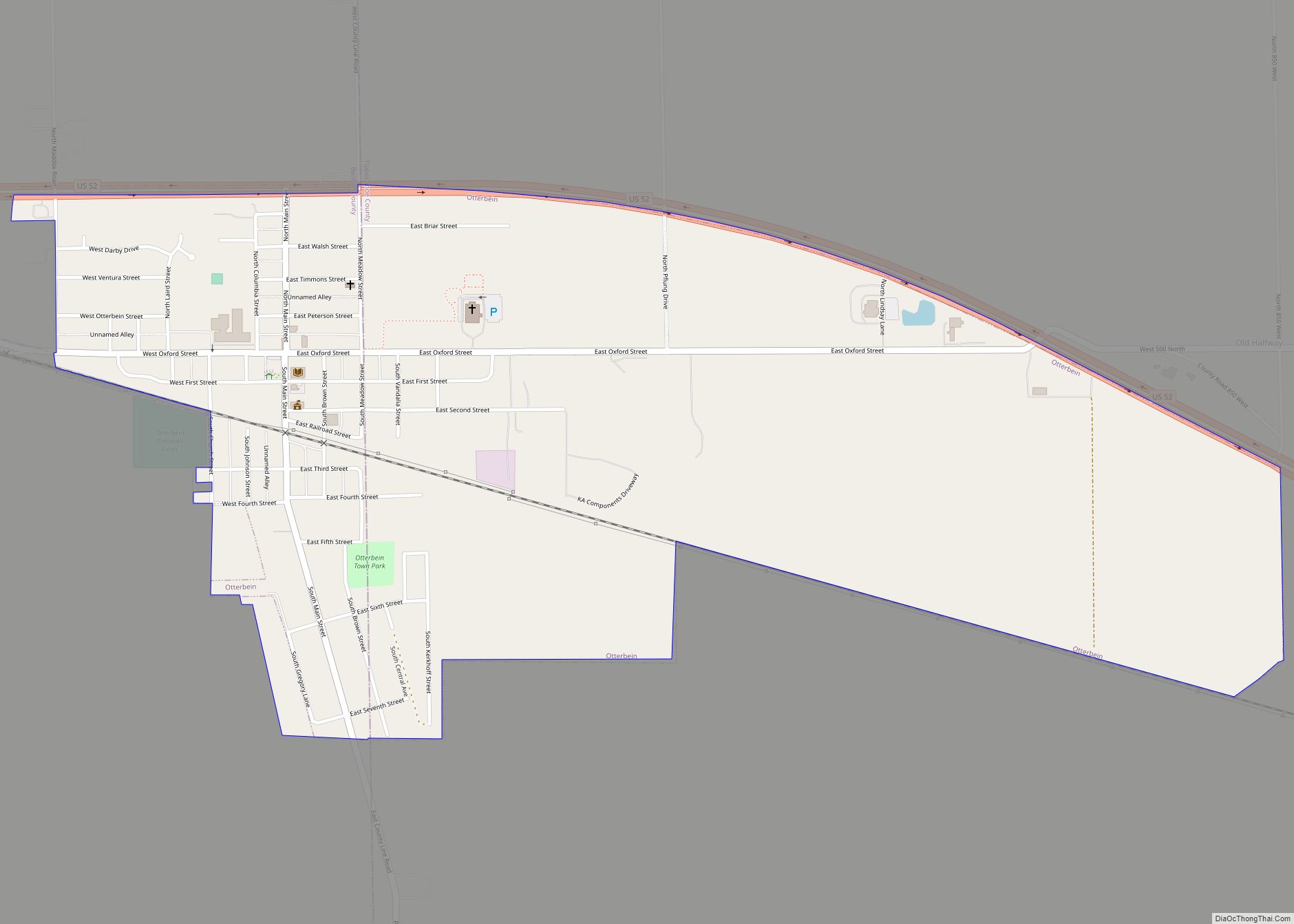
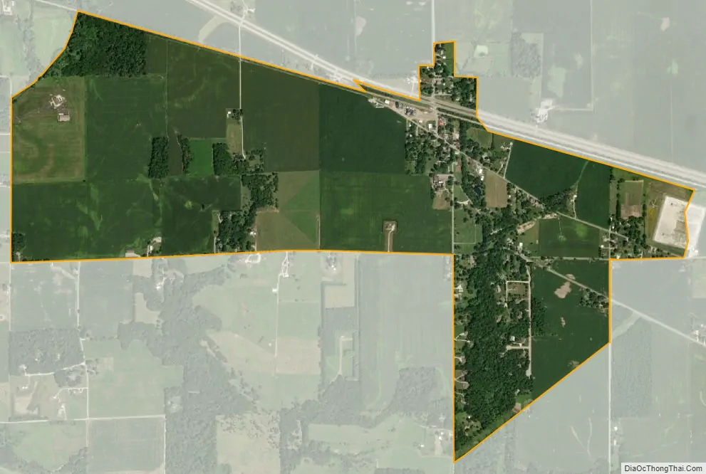
Montmorenci city Satellite Map
Geography
Montmorenci is located at 40°28’28” North, 87°01’46” West (40.474444, -87.029444) in Shelby Township, at the intersection of U.S. Routes 52 and 231. It has an elevation of 699 feet.
See also
Map of Indiana State and its subdivision:- Adams
- Allen
- Bartholomew
- Benton
- Blackford
- Boone
- Brown
- Carroll
- Cass
- Clark
- Clay
- Clinton
- Crawford
- Daviess
- De Kalb
- Dearborn
- Decatur
- Delaware
- Dubois
- Elkhart
- Fayette
- Floyd
- Fountain
- Franklin
- Fulton
- Gibson
- Grant
- Greene
- Hamilton
- Hancock
- Harrison
- Hendricks
- Henry
- Howard
- Huntington
- Jackson
- Jasper
- Jay
- Jefferson
- Jennings
- Johnson
- Knox
- Kosciusko
- LaGrange
- Lake
- Lake Michigan
- LaPorte
- Lawrence
- Madison
- Marion
- Marshall
- Martin
- Miami
- Monroe
- Montgomery
- Morgan
- Newton
- Noble
- Ohio
- Orange
- Owen
- Parke
- Perry
- Pike
- Porter
- Posey
- Pulaski
- Putnam
- Randolph
- Ripley
- Rush
- Saint Joseph
- Scott
- Shelby
- Spencer
- Starke
- Steuben
- Sullivan
- Switzerland
- Tippecanoe
- Tipton
- Union
- Vanderburgh
- Vermillion
- Vigo
- Wabash
- Warren
- Warrick
- Washington
- Wayne
- Wells
- White
- Whitley
- Alabama
- Alaska
- Arizona
- Arkansas
- California
- Colorado
- Connecticut
- Delaware
- District of Columbia
- Florida
- Georgia
- Hawaii
- Idaho
- Illinois
- Indiana
- Iowa
- Kansas
- Kentucky
- Louisiana
- Maine
- Maryland
- Massachusetts
- Michigan
- Minnesota
- Mississippi
- Missouri
- Montana
- Nebraska
- Nevada
- New Hampshire
- New Jersey
- New Mexico
- New York
- North Carolina
- North Dakota
- Ohio
- Oklahoma
- Oregon
- Pennsylvania
- Rhode Island
- South Carolina
- South Dakota
- Tennessee
- Texas
- Utah
- Vermont
- Virginia
- Washington
- West Virginia
- Wisconsin
- Wyoming