Tennyson is a town in Skelton Township, Warrick County, in the U.S. state of Indiana. The population was 279 at the 2010 census.
| Name: | Tennyson town |
|---|---|
| LSAD Code: | 43 |
| LSAD Description: | town (suffix) |
| State: | Indiana |
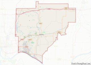
| County: | Warrick County |
| Elevation: | 404 ft (123 m) |
| Total Area: | 0.23 sq mi (0.61 km²) |
| Land Area: | 0.23 sq mi (0.61 km²) |
| Water Area: | 0.00 sq mi (0.00 km²) |
| Total Population: | 213 |
| Population Density: | 910.26/sq mi (351.72/km²) |
| ZIP code: | 47637 |
| Area code: | 812 |
| FIPS code: | 1875302 |
| GNISfeature ID: | 2397694 |
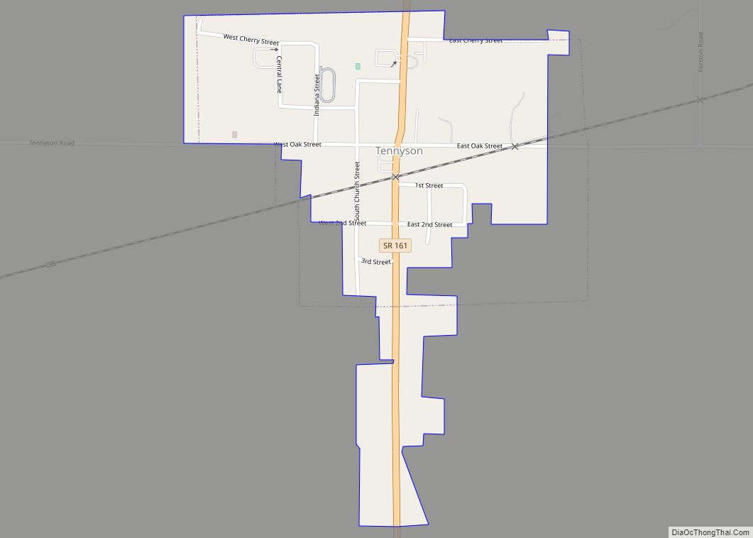
Online Interactive Map
Click on ![]() to view map in "full screen" mode.
to view map in "full screen" mode.
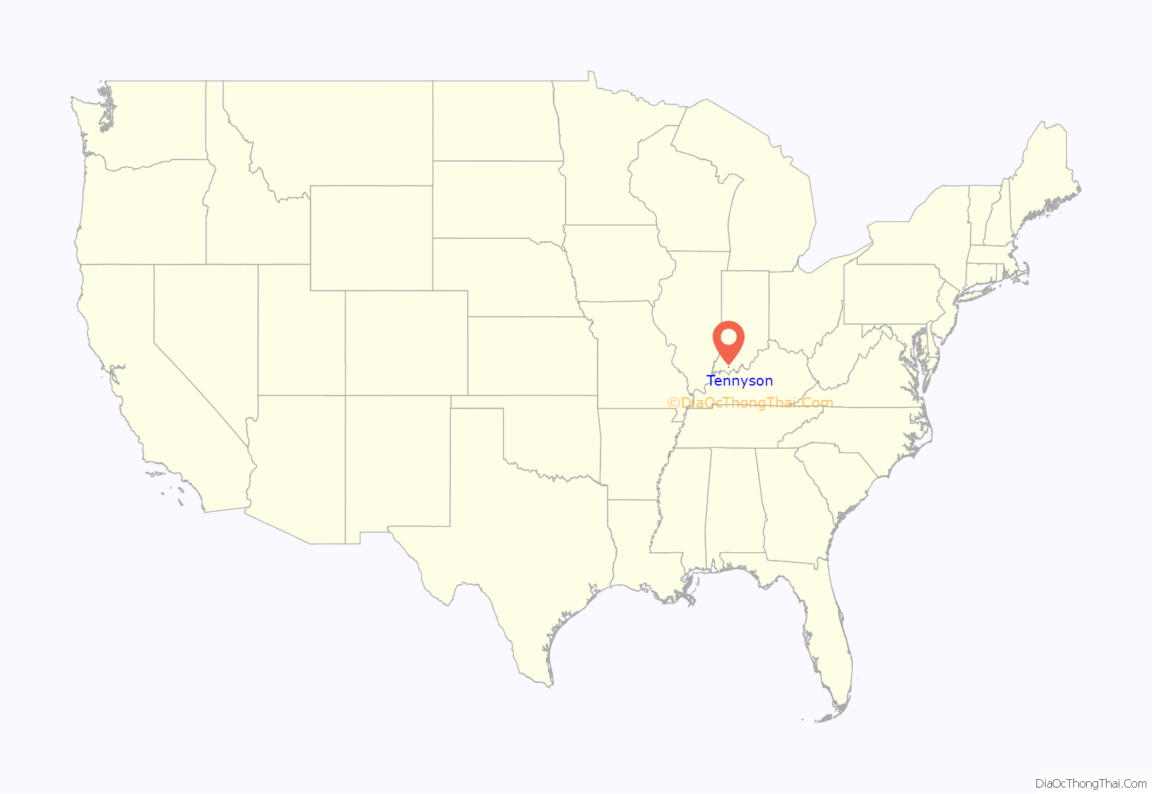
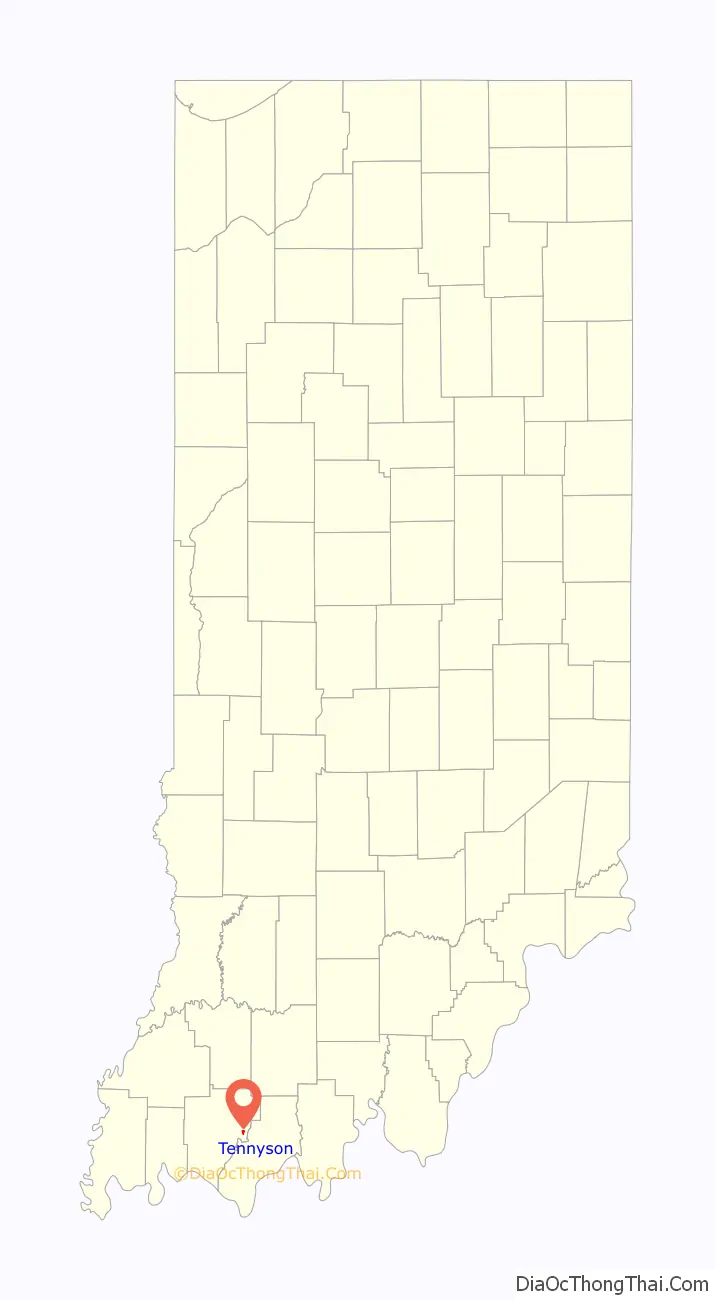
Tennyson location map. Where is Tennyson town?
History
A post office has been in operation at Tennyson since 1881. A town plat was made in about 1882. The town was named after George Martin Van Buren Tennyson .
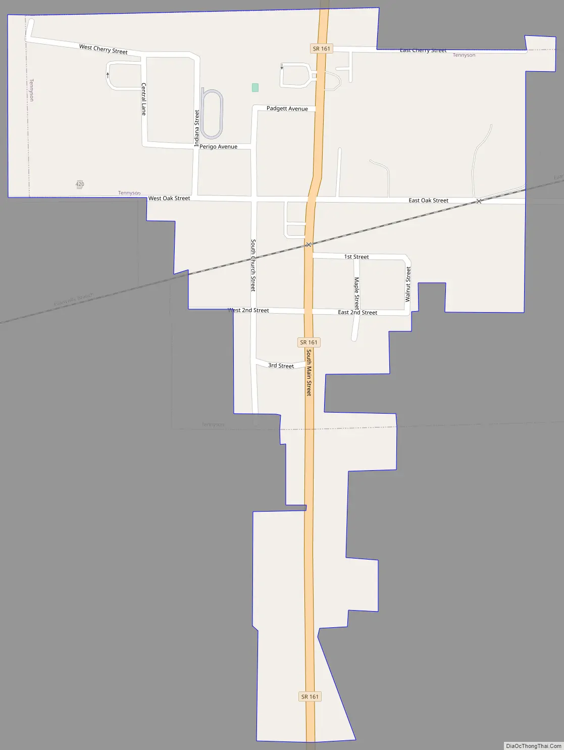
Tennyson Road Map
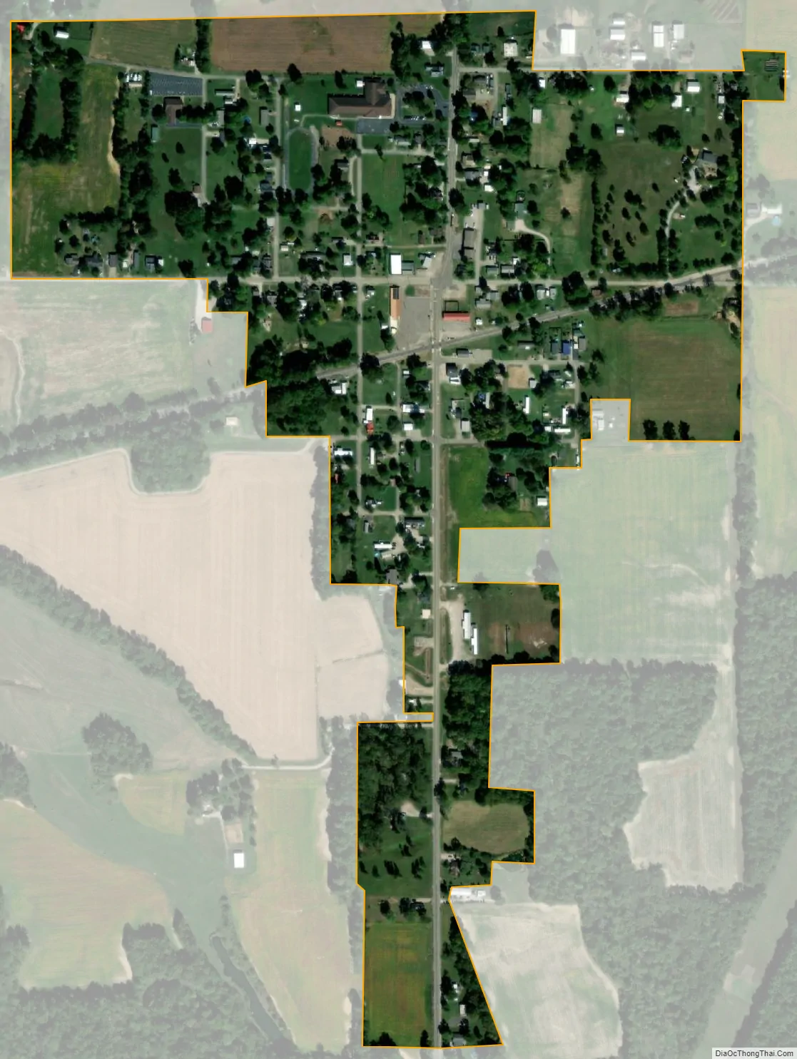
Tennyson city Satellite Map
Geography
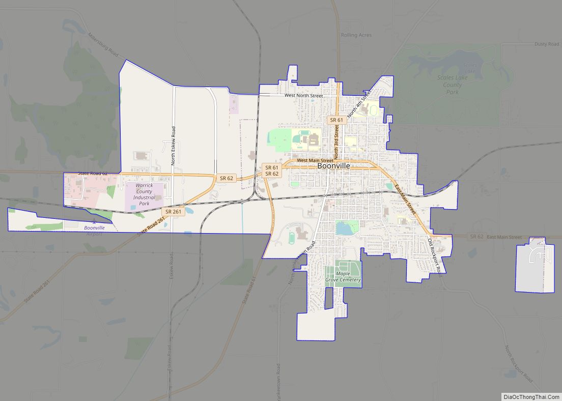
Tennyson is located at 38°4′54″N 87°7′8″W / 38.08167°N 87.11889°W / 38.08167; -87.11889 (38.081673, -87.118946). The town lies in eastern Warrick County, northeast of Boonville, the county seat. Indiana State Road 161 (signed as Main Street) traverses the town from north to south. Little Pigeon Creek and its associated state wetland conservation area lies just east of Tennyson.
According to the 2010 census, Tennyson has a total area of 0.23 square miles (0.60 km), all land.
See also
Map of Indiana State and its subdivision:- Adams
- Allen
- Bartholomew
- Benton
- Blackford
- Boone
- Brown
- Carroll
- Cass
- Clark
- Clay
- Clinton
- Crawford
- Daviess
- De Kalb
- Dearborn
- Decatur
- Delaware
- Dubois
- Elkhart
- Fayette
- Floyd
- Fountain
- Franklin
- Fulton
- Gibson
- Grant
- Greene
- Hamilton
- Hancock
- Harrison
- Hendricks
- Henry
- Howard
- Huntington
- Jackson
- Jasper
- Jay
- Jefferson
- Jennings
- Johnson
- Knox
- Kosciusko
- LaGrange
- Lake
- Lake Michigan
- LaPorte
- Lawrence
- Madison
- Marion
- Marshall
- Martin
- Miami
- Monroe
- Montgomery
- Morgan
- Newton
- Noble
- Ohio
- Orange
- Owen
- Parke
- Perry
- Pike
- Porter
- Posey
- Pulaski
- Putnam
- Randolph
- Ripley
- Rush
- Saint Joseph
- Scott
- Shelby
- Spencer
- Starke
- Steuben
- Sullivan
- Switzerland
- Tippecanoe
- Tipton
- Union
- Vanderburgh
- Vermillion
- Vigo
- Wabash
- Warren
- Warrick
- Washington
- Wayne
- Wells
- White
- Whitley
- Alabama
- Alaska
- Arizona
- Arkansas
- California
- Colorado
- Connecticut
- Delaware
- District of Columbia
- Florida
- Georgia
- Hawaii
- Idaho
- Illinois
- Indiana
- Iowa
- Kansas
- Kentucky
- Louisiana
- Maine
- Maryland
- Massachusetts
- Michigan
- Minnesota
- Mississippi
- Missouri
- Montana
- Nebraska
- Nevada
- New Hampshire
- New Jersey
- New Mexico
- New York
- North Carolina
- North Dakota
- Ohio
- Oklahoma
- Oregon
- Pennsylvania
- Rhode Island
- South Carolina
- South Dakota
- Tennessee
- Texas
- Utah
- Vermont
- Virginia
- Washington
- West Virginia
- Wisconsin
- Wyoming