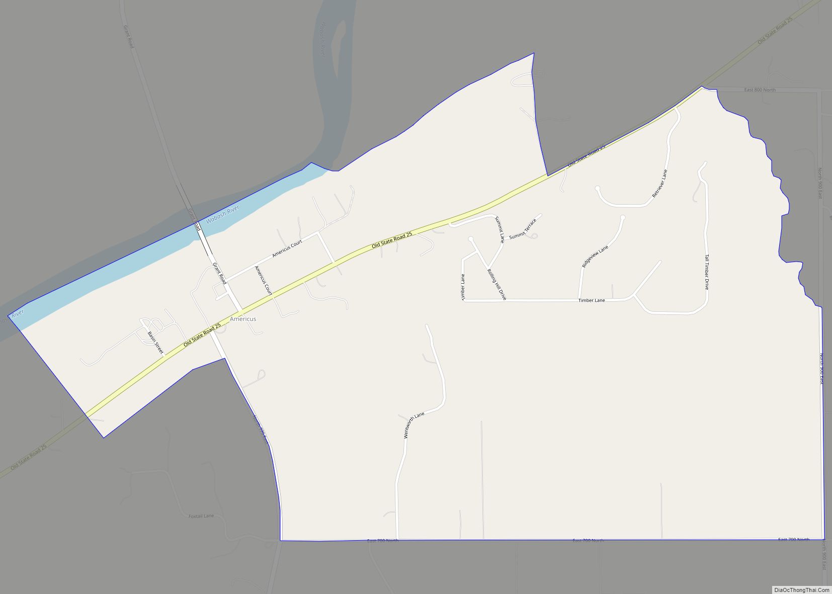
West Point (sometimes shown as Westpoint) is an unincorporated community and census-designated place in Wayne Township, Tippecanoe County, in the U.S. state of Indiana. The population was 594 at the 2010 census.
The community is part of the Lafayette, Indiana Metropolitan Statistical Area.
| Name: | West Point CDP |
|---|---|
| LSAD Code: | 57 |
| LSAD Description: | CDP (suffix) |
| State: | Indiana |
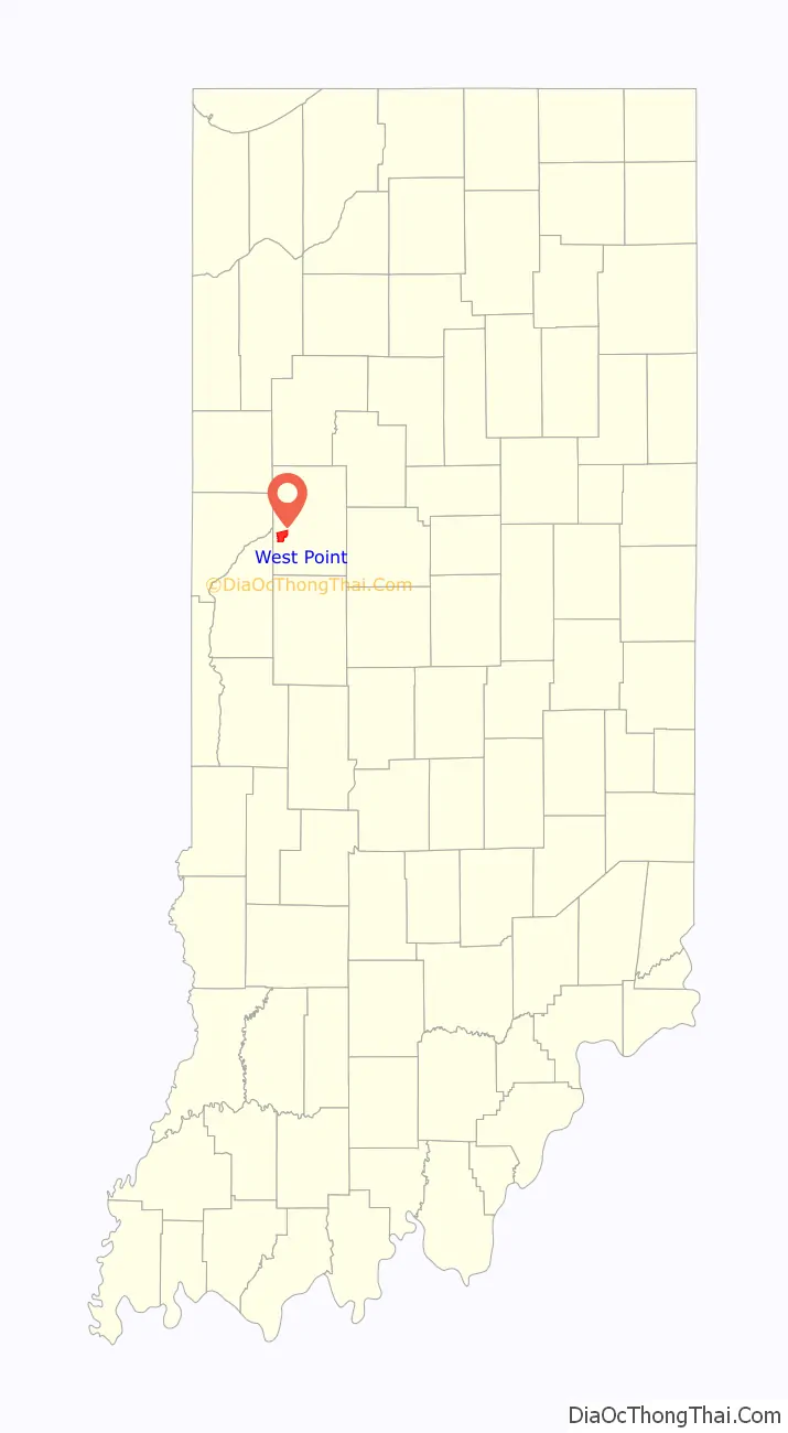
| County: | Tippecanoe County |
| Elevation: | 673 ft (205 m) |
| Total Area: | 2.77 sq mi (7.18 km²) |
| Land Area: | 2.77 sq mi (7.18 km²) |
| Water Area: | 0.00 sq mi (0.00 km²) |
| Total Population: | 318 |
| Population Density: | 114.72/sq mi (44.29/km²) |
| ZIP code: | 47992 |
| Area code: | 765 |
| FIPS code: | 1883222 |
| GNISfeature ID: | 445856 |
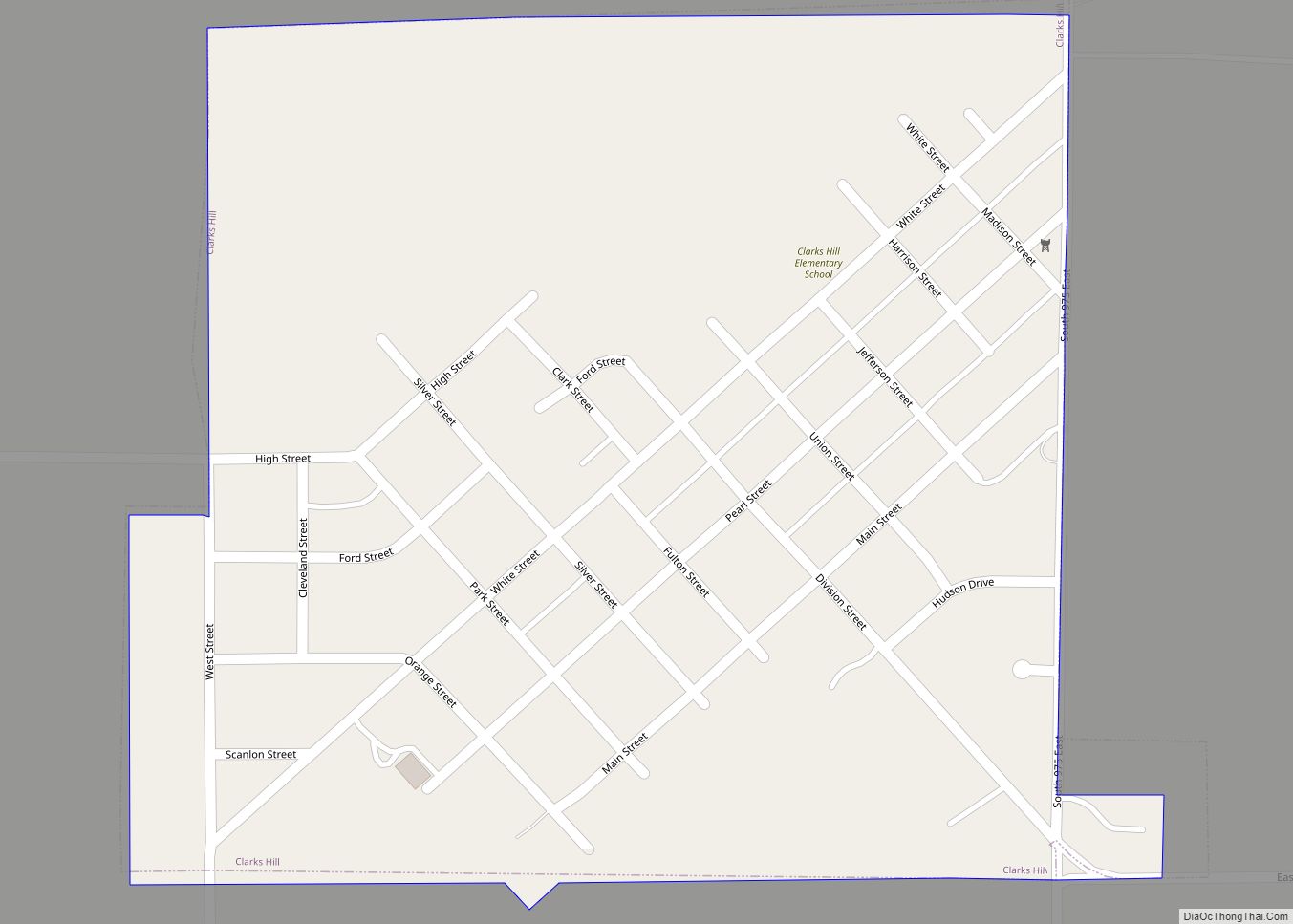
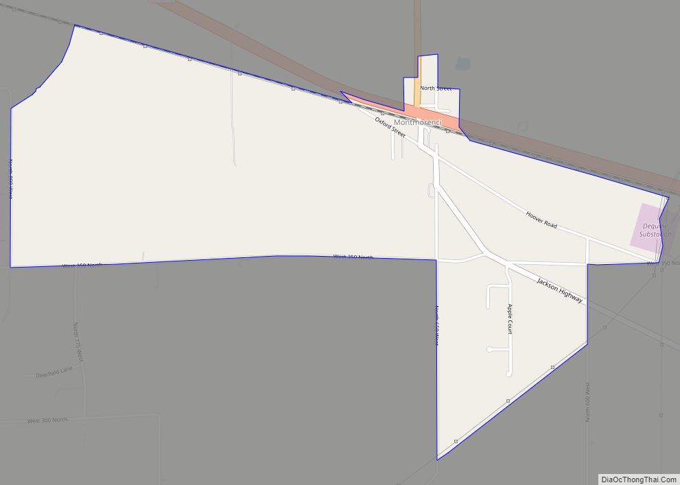
Online Interactive Map
Click on ![]() to view map in "full screen" mode.
to view map in "full screen" mode.
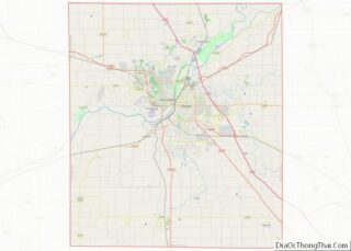
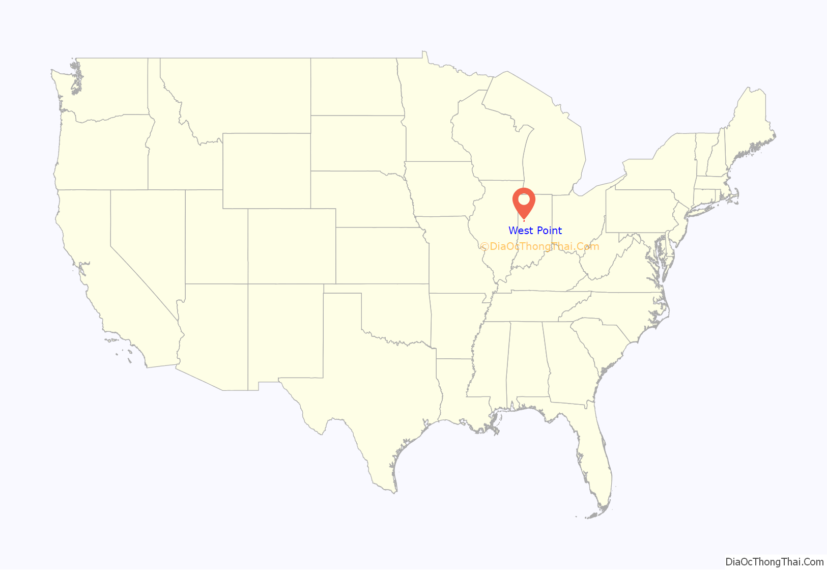
West Point location map. Where is West Point CDP?
History
The town was platted in 1833 by Samuel Kiser. It was founded as Middleton, but residents changed the name of the town to West Point.
The West Point post office has been in operation since 1836.
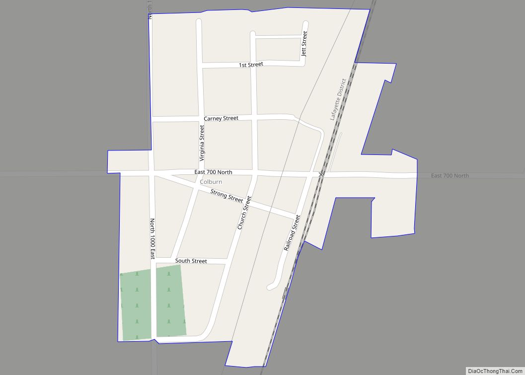
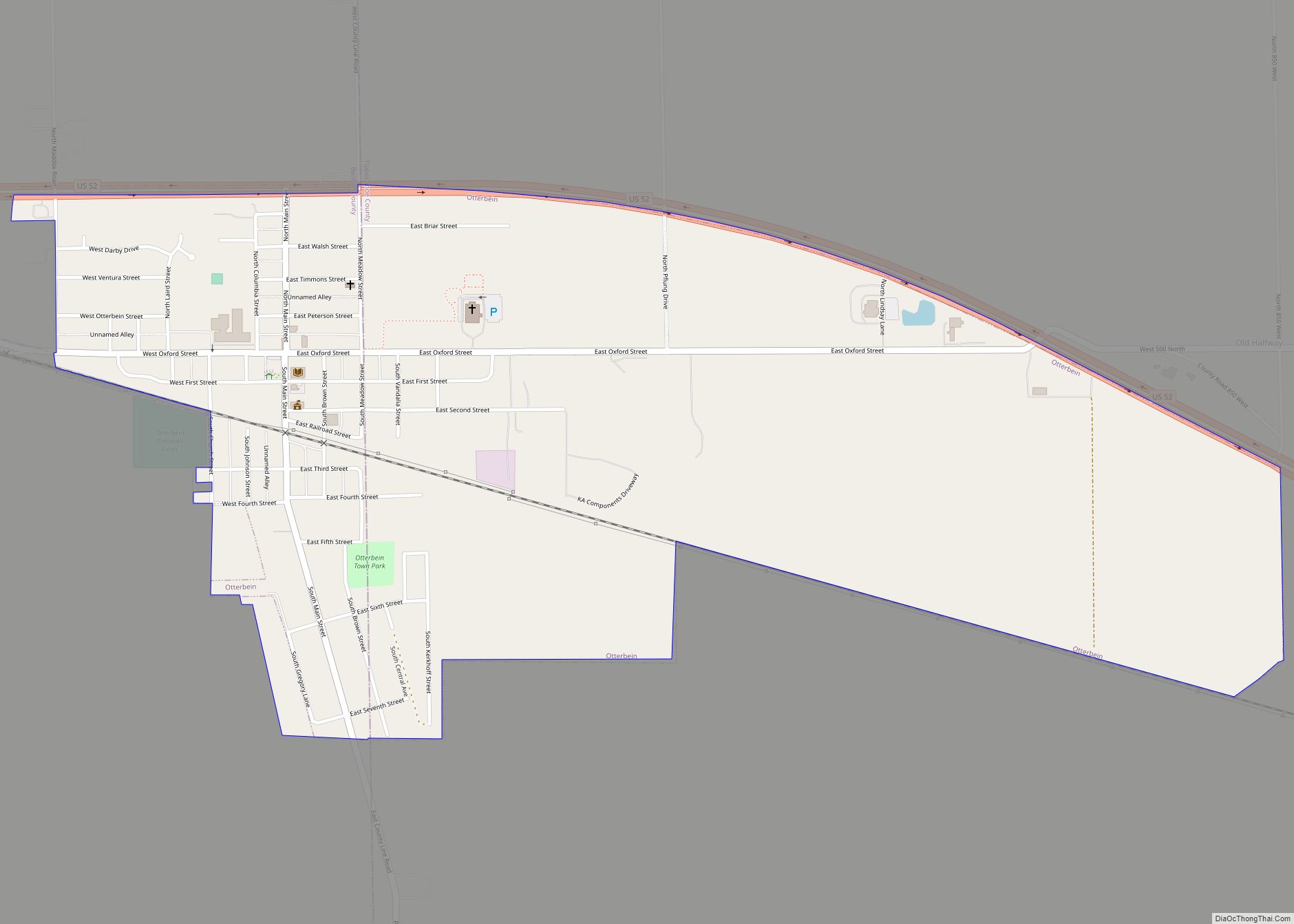
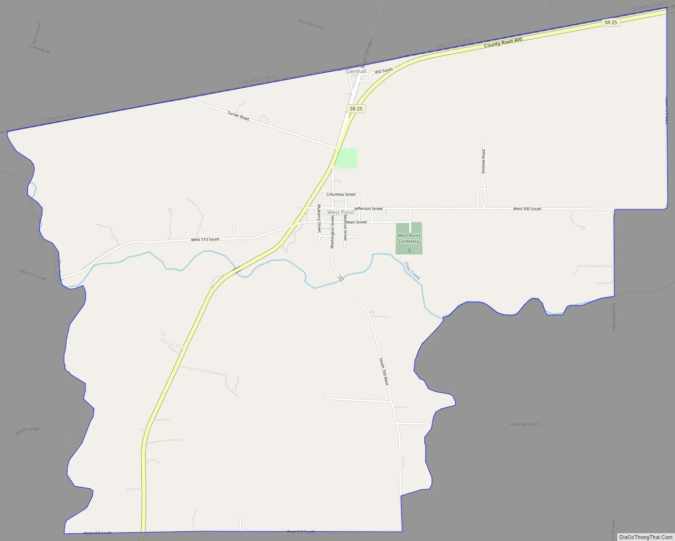
West Point Road Map
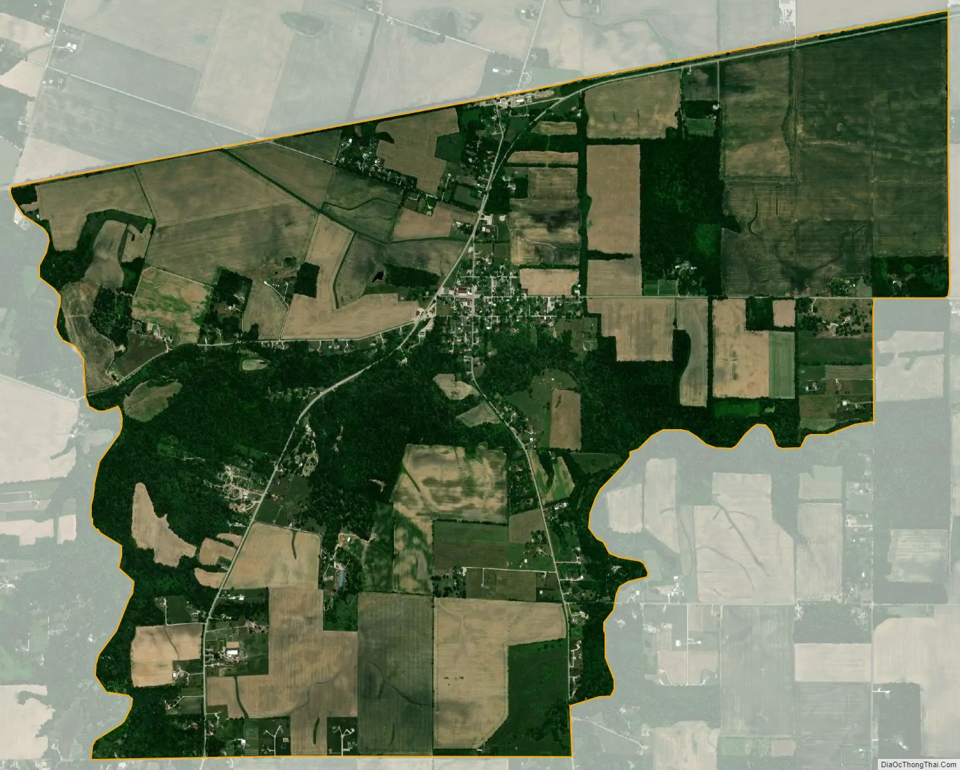
West Point city Satellite Map
Geography
West Point is located at 40°20′42″N 87°2′35″W / 40.34500°N 87.04306°W / 40.34500; -87.04306 (40.345036, -87.043066) along State Road 25 at an elevation of approximately 673 feet. The town is in Wayne Township and sits about a quarter of a mile north of Flint Creek which flows west to the Wabash River.
A village named Glen Hall existed on the north side of West Point in the 19th century; though still populated, the site is now generally considered part of West Point. Additionally, residents of the former town of Granville are listed using West Point addresses.
See also
Map of Indiana State and its subdivision:- Adams
- Allen
- Bartholomew
- Benton
- Blackford
- Boone
- Brown
- Carroll
- Cass
- Clark
- Clay
- Clinton
- Crawford
- Daviess
- De Kalb
- Dearborn
- Decatur
- Delaware
- Dubois
- Elkhart
- Fayette
- Floyd
- Fountain
- Franklin
- Fulton
- Gibson
- Grant
- Greene
- Hamilton
- Hancock
- Harrison
- Hendricks
- Henry
- Howard
- Huntington
- Jackson
- Jasper
- Jay
- Jefferson
- Jennings
- Johnson
- Knox
- Kosciusko
- LaGrange
- Lake
- Lake Michigan
- LaPorte
- Lawrence
- Madison
- Marion
- Marshall
- Martin
- Miami
- Monroe
- Montgomery
- Morgan
- Newton
- Noble
- Ohio
- Orange
- Owen
- Parke
- Perry
- Pike
- Porter
- Posey
- Pulaski
- Putnam
- Randolph
- Ripley
- Rush
- Saint Joseph
- Scott
- Shelby
- Spencer
- Starke
- Steuben
- Sullivan
- Switzerland
- Tippecanoe
- Tipton
- Union
- Vanderburgh
- Vermillion
- Vigo
- Wabash
- Warren
- Warrick
- Washington
- Wayne
- Wells
- White
- Whitley
- Alabama
- Alaska
- Arizona
- Arkansas
- California
- Colorado
- Connecticut
- Delaware
- District of Columbia
- Florida
- Georgia
- Hawaii
- Idaho
- Illinois
- Indiana
- Iowa
- Kansas
- Kentucky
- Louisiana
- Maine
- Maryland
- Massachusetts
- Michigan
- Minnesota
- Mississippi
- Missouri
- Montana
- Nebraska
- Nevada
- New Hampshire
- New Jersey
- New Mexico
- New York
- North Carolina
- North Dakota
- Ohio
- Oklahoma
- Oregon
- Pennsylvania
- Rhode Island
- South Carolina
- South Dakota
- Tennessee
- Texas
- Utah
- Vermont
- Virginia
- Washington
- West Virginia
- Wisconsin
- Wyoming