Woodburn is a city in Maumee Township, Allen County, Indiana, United States. The population was 1,520 at the 2010 census, making it the smallest in state as Cannelton had a population of 1,563 in the 2010 Census.
| Name: | Woodburn city |
|---|---|
| LSAD Code: | 25 |
| LSAD Description: | city (suffix) |
| State: | Indiana |
| County: | Allen County |
| Elevation: | 751 ft (229 m) |
| Total Area: | 0.96 sq mi (2.48 km²) |
| Land Area: | 0.96 sq mi (2.48 km²) |
| Water Area: | 0.00 sq mi (0.00 km²) 0% |
| Total Population: | 1,551 |
| Population Density: | 1,620.69/sq mi (626.03/km²) |
| ZIP code: | 46797 |
| Area code: | 260 |
| FIPS code: | 1885184 |
| GNISfeature ID: | 0446280 |
| Website: | www.cityofwoodburn.org |
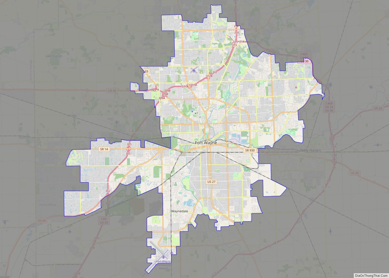
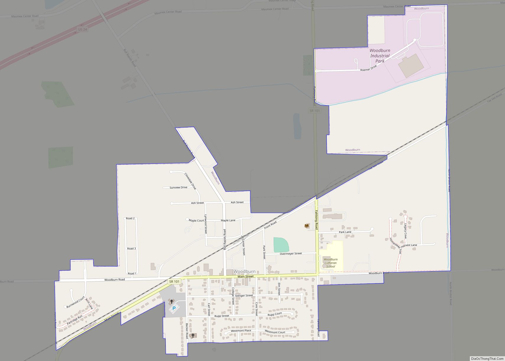
Online Interactive Map
Click on ![]() to view map in "full screen" mode.
to view map in "full screen" mode.
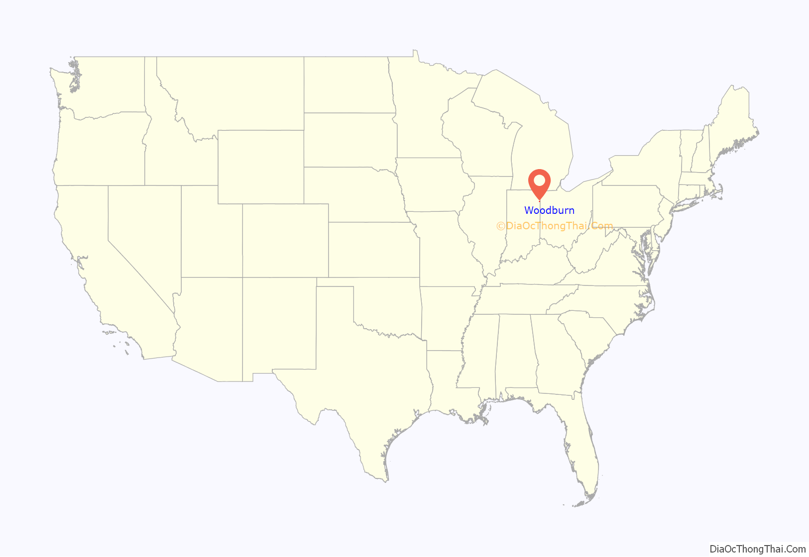
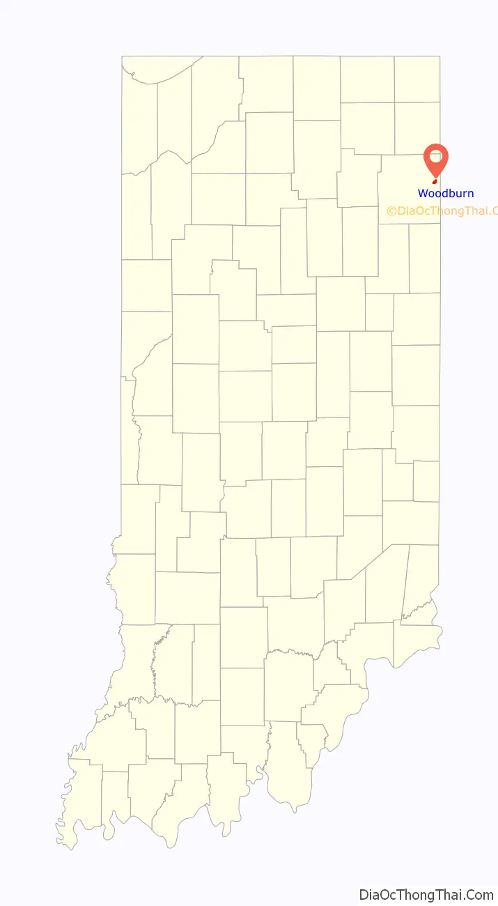
Woodburn location map. Where is Woodburn city?
History
In 1865 Joseph Edgerton and Joseph Smith platted the town of Woodburn, or Phelps Station as it was called at that time. The two men chose this area due to the abundant timber, fertile ground, and nearby river. After two large, accidental fires in the area Joseph Edgerton sent his son Edward Edgerton to Woodburn to sell off large tracts of land for farming.
This area was first known as Phelps Station due to the train depot. There were five families and a post office. In September 1865 the town was again platted with the name Woodburn due to the enormous wood burnings to clear the land. In 1895 a group of local men decided to incorporate the town into Shirley City in honor of Senator Robert B Shirley.
Once again in 1956 a special meeting was called where the decision was made to return the name to Woodburn and officially become the smallest 5th class city in Indiana. The hard working pioneers who migrated to this area are to be commended for clearing the land for cultivation and implementing the drainage system. This cleared the way for commerce in the city.
The Stucky brothers started their business in Woodburn selling farm implements and repair. The grain elevator and train station were the leading businesses in the early days. Soon the small city became self-contained with everything from a bank, to grocery stores, drug store, furniture, doctors, blacksmith, restaurants, taverns, stockyard, hotel, butcher shop, brick and tile mill, automobiles, schools and churches.
Due to limited roads and abundant local business, community members did not have to travel outside of Woodburn for their basic needs.
Woodburn Road Map
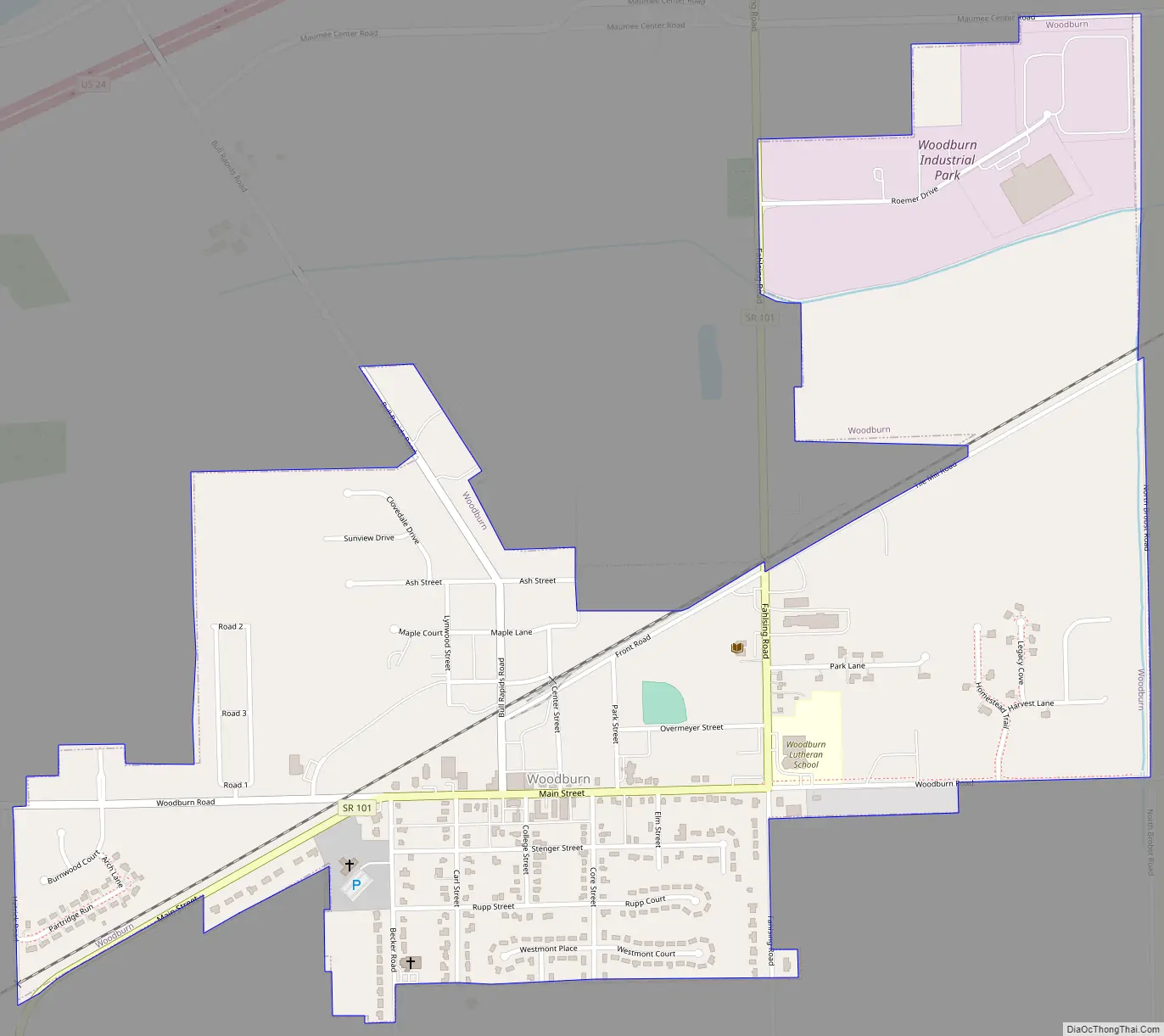
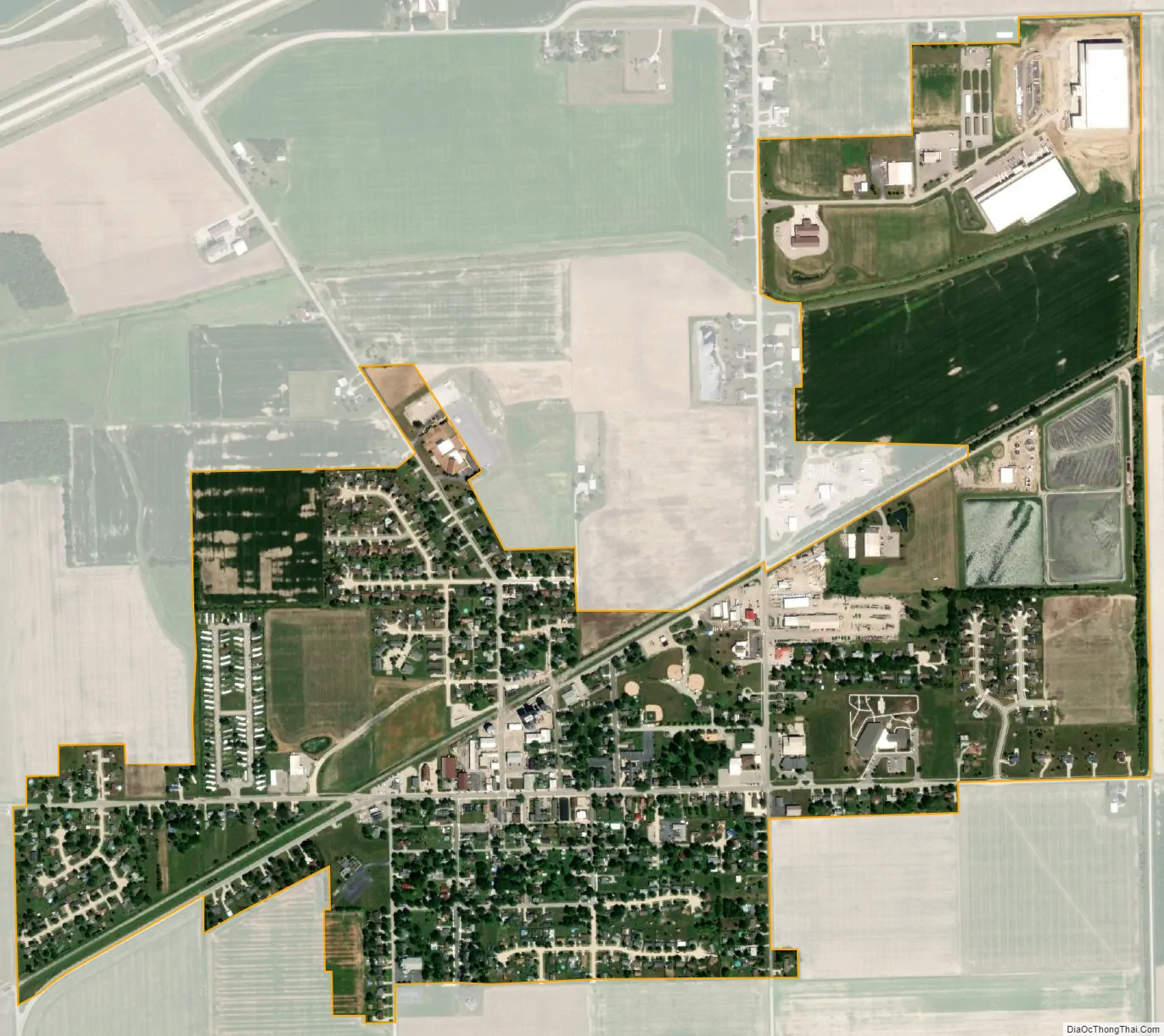
Woodburn city Satellite Map
Geography
Woodburn is located at 41°7′34″N 84°51′10″W / 41.12611°N 84.85278°W / 41.12611; -84.85278 (41.126074, -84.852724).
According to the 2010 census, Woodburn has a total area of 0.93 square miles (2.41 km), all land.
Woodburn is located adjacent to U.S. Route 24. In 1989, a group of Indiana and Ohio residents met in Woodburn to form the Fort to Port Improvement Organization to lobby for expansion of the highway between Fort Wayne, Indiana and Toledo, Ohio. The meeting was organized by State Representative Mitch Harper.
See also
Map of Indiana State and its subdivision:- Adams
- Allen
- Bartholomew
- Benton
- Blackford
- Boone
- Brown
- Carroll
- Cass
- Clark
- Clay
- Clinton
- Crawford
- Daviess
- De Kalb
- Dearborn
- Decatur
- Delaware
- Dubois
- Elkhart
- Fayette
- Floyd
- Fountain
- Franklin
- Fulton
- Gibson
- Grant
- Greene
- Hamilton
- Hancock
- Harrison
- Hendricks
- Henry
- Howard
- Huntington
- Jackson
- Jasper
- Jay
- Jefferson
- Jennings
- Johnson
- Knox
- Kosciusko
- LaGrange
- Lake
- Lake Michigan
- LaPorte
- Lawrence
- Madison
- Marion
- Marshall
- Martin
- Miami
- Monroe
- Montgomery
- Morgan
- Newton
- Noble
- Ohio
- Orange
- Owen
- Parke
- Perry
- Pike
- Porter
- Posey
- Pulaski
- Putnam
- Randolph
- Ripley
- Rush
- Saint Joseph
- Scott
- Shelby
- Spencer
- Starke
- Steuben
- Sullivan
- Switzerland
- Tippecanoe
- Tipton
- Union
- Vanderburgh
- Vermillion
- Vigo
- Wabash
- Warren
- Warrick
- Washington
- Wayne
- Wells
- White
- Whitley
- Alabama
- Alaska
- Arizona
- Arkansas
- California
- Colorado
- Connecticut
- Delaware
- District of Columbia
- Florida
- Georgia
- Hawaii
- Idaho
- Illinois
- Indiana
- Iowa
- Kansas
- Kentucky
- Louisiana
- Maine
- Maryland
- Massachusetts
- Michigan
- Minnesota
- Mississippi
- Missouri
- Montana
- Nebraska
- Nevada
- New Hampshire
- New Jersey
- New Mexico
- New York
- North Carolina
- North Dakota
- Ohio
- Oklahoma
- Oregon
- Pennsylvania
- Rhode Island
- South Carolina
- South Dakota
- Tennessee
- Texas
- Utah
- Vermont
- Virginia
- Washington
- West Virginia
- Wisconsin
- Wyoming