Boiling Spring Lakes is a city in Brunswick County, North Carolina, United States. The population was 5,943 at the 2020 census, up from 5,372 in 2010.
| Name: | Boiling Spring Lakes city |
|---|---|
| LSAD Code: | 25 |
| LSAD Description: | city (suffix) |
| State: | North Carolina |
| County: | Brunswick County |
| Elevation: | 49 ft (15 m) |
| Total Area: | 24.78 sq mi (64.19 km²) |
| Land Area: | 24.09 sq mi (62.40 km²) |
| Water Area: | 0.69 sq mi (1.79 km²) |
| Total Population: | 5,943 |
| Population Density: | 246.67/sq mi (95.24/km²) |
| ZIP code: | 28461 |
| FIPS code: | 3706760 |
| GNISfeature ID: | 1004747 |
| Website: | www.cityofbsl.org |
Online Interactive Map
Click on ![]() to view map in "full screen" mode.
to view map in "full screen" mode.
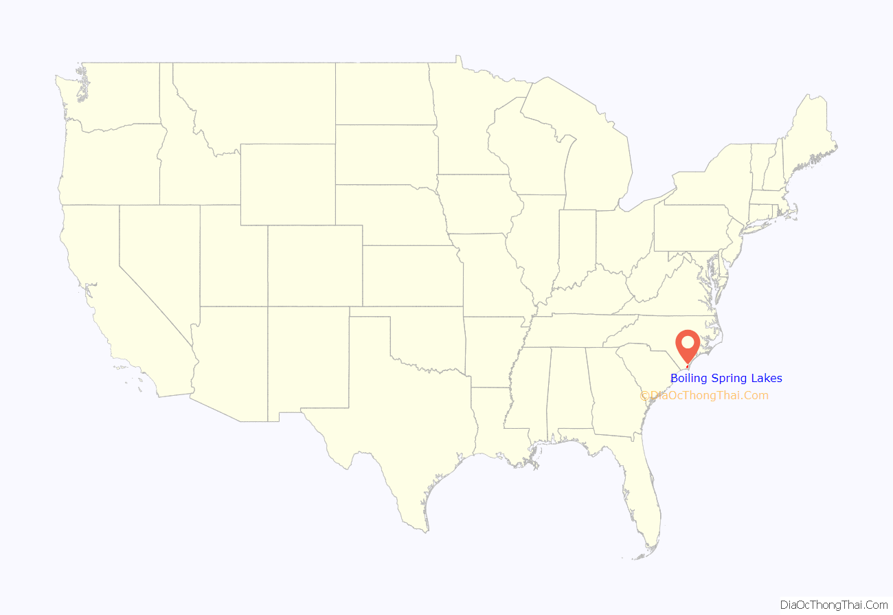
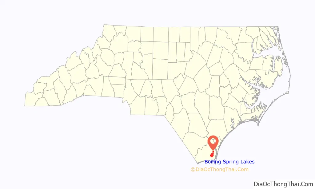
Boiling Spring Lakes location map. Where is Boiling Spring Lakes city?
History
Boiling Spring Lakes was incorporated as a town in 1961.
In 2018 Hurricane Florence damaged roads in Boiling Spring Lakes and destroyed four dams. FEMA money has been used to repair these.
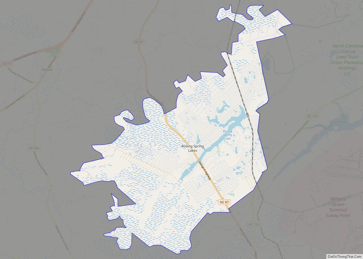
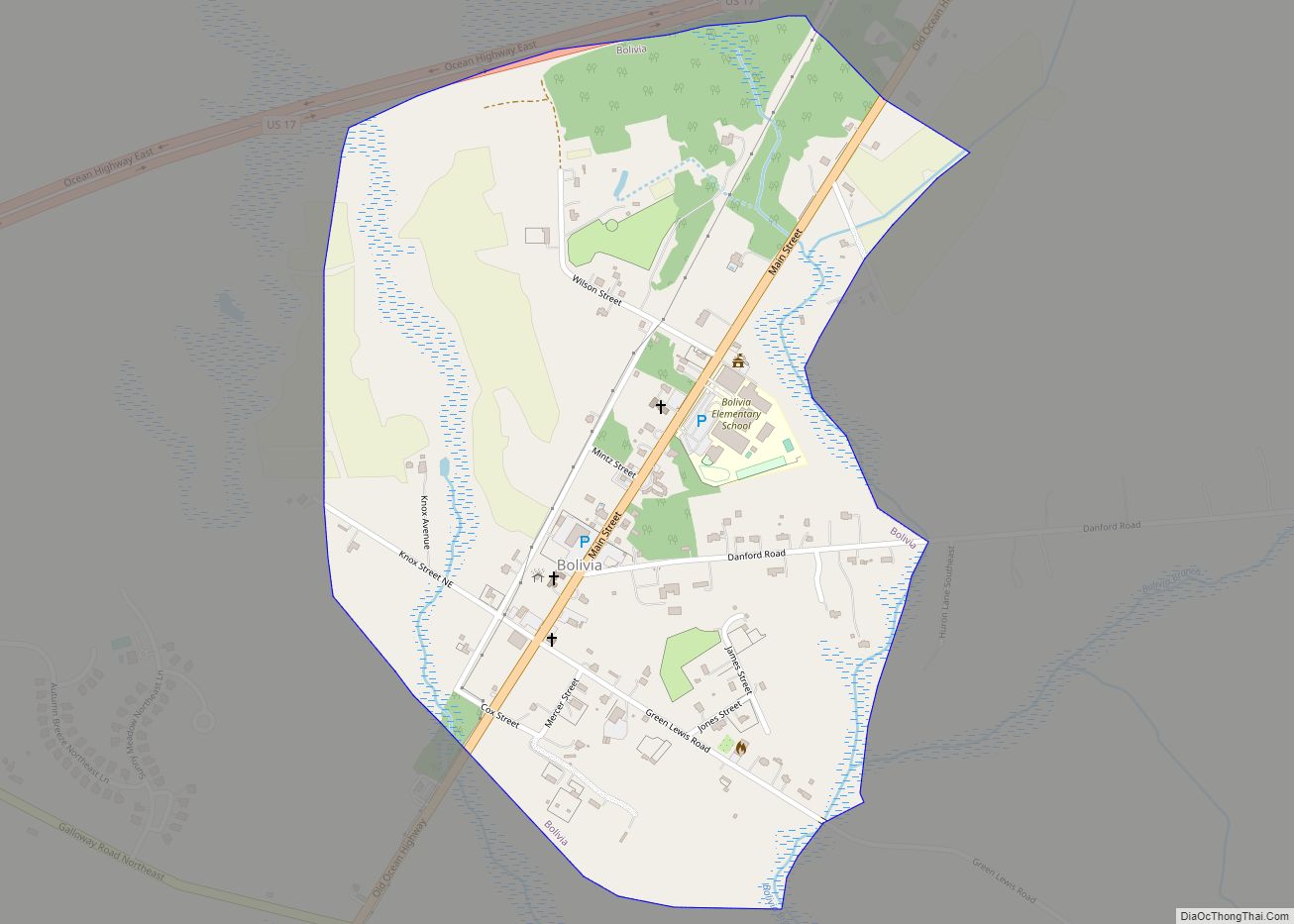
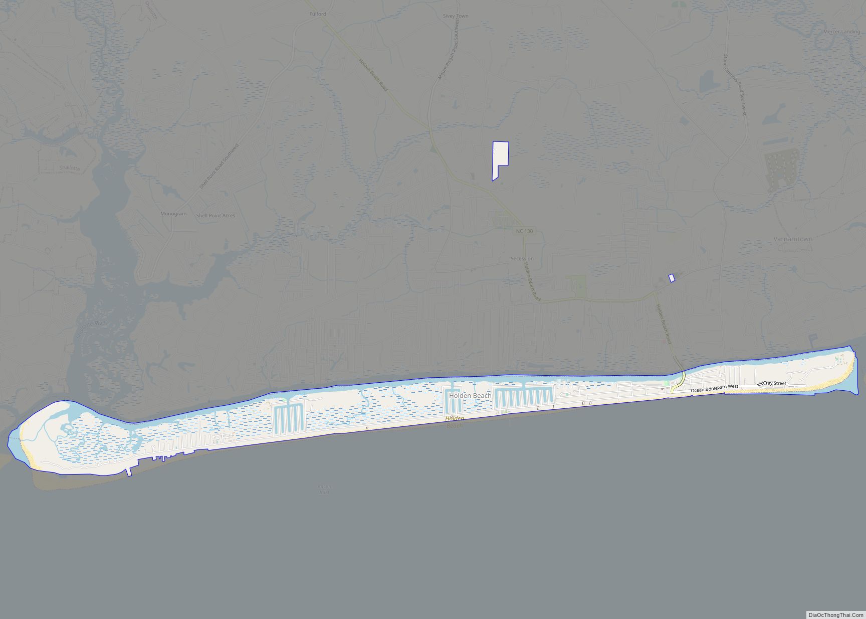
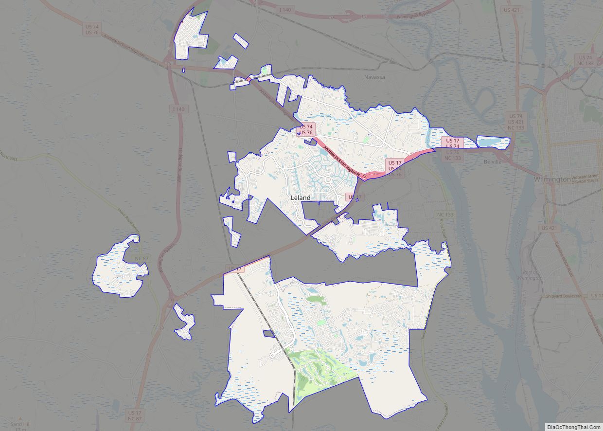
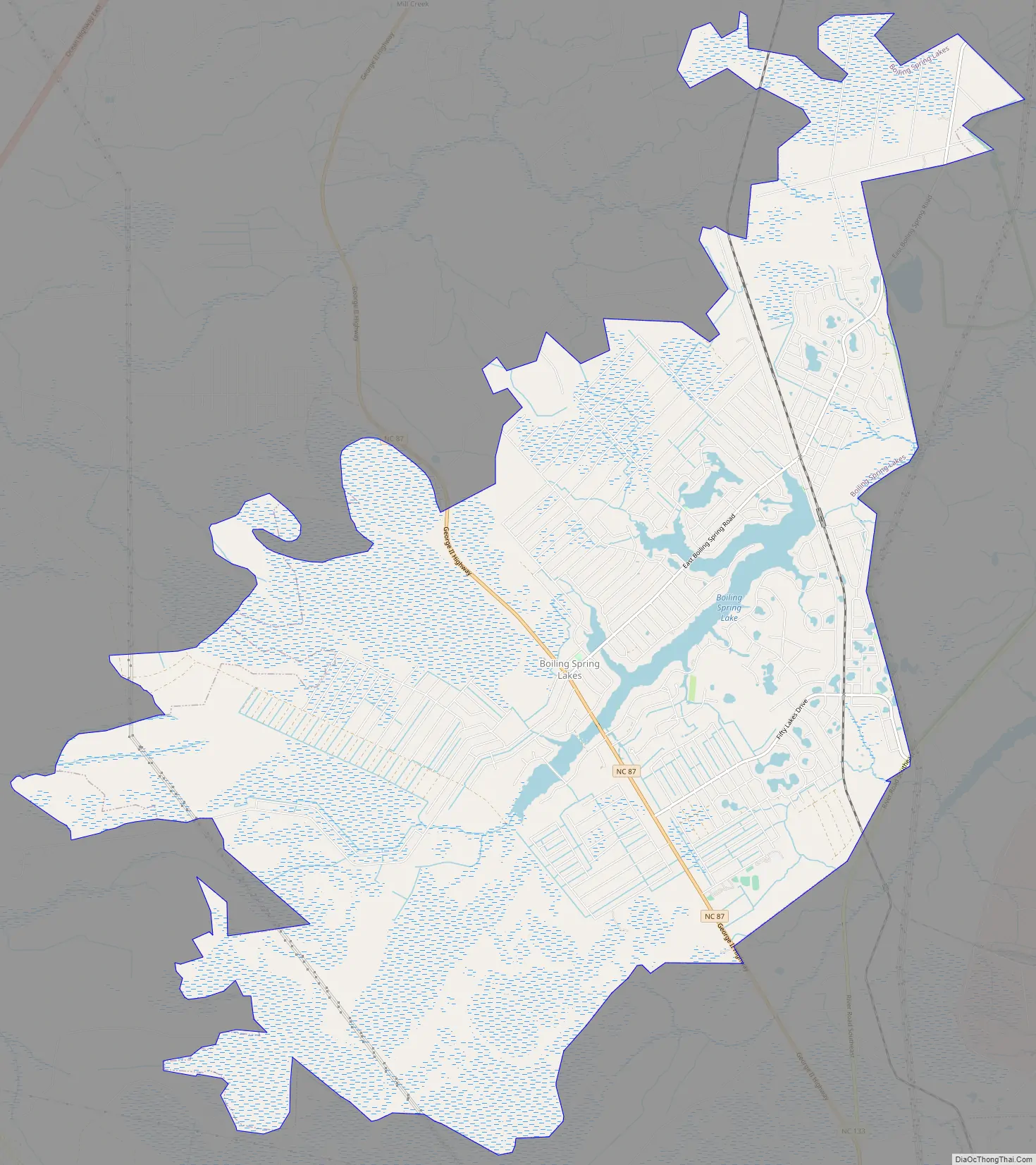
Boiling Spring Lakes Road Map
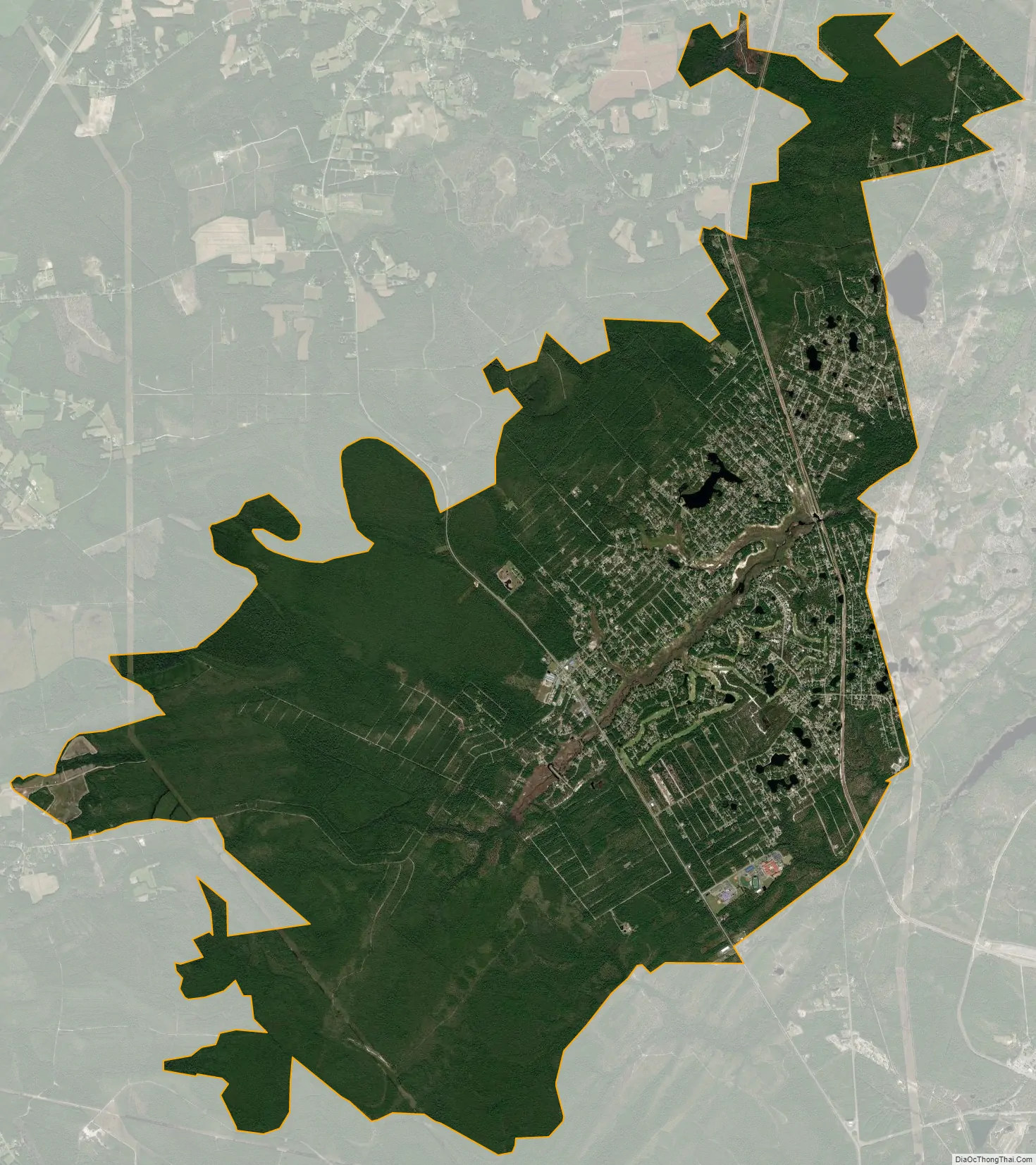
Boiling Spring Lakes city Satellite Map
Geography
Boiling Spring Lakes is located at 34°2′19″N 78°3′14″W / 34.03861°N 78.05389°W / 34.03861; -78.05389 (34.038495, -78.053898). North Carolina Highway 87 passes north–south through the center of the community. The city of Wilmington is 22 miles (35 km) to the northeast via NC-87 and US-17. Caswell Beach and Oak Island on the Atlantic Ocean are 11 miles (18 km) to the south.
According to the United States Census Bureau, Boiling Spring Lakes has a total area of 24.0 square miles (62.1 km), of which 23.3 square miles (60.3 km) is land and 0.69 square miles (1.8 km), or 2.90%, is water.
See also
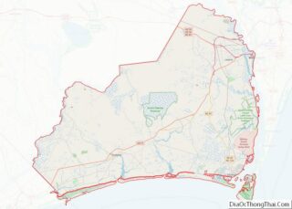
Map of North Carolina State and its subdivision:- Alamance
- Alexander
- Alleghany
- Anson
- Ashe
- Avery
- Beaufort
- Bertie
- Bladen
- Brunswick
- Buncombe
- Burke
- Cabarrus
- Caldwell
- Camden
- Carteret
- Caswell
- Catawba
- Chatham
- Cherokee
- Chowan
- Clay
- Cleveland
- Columbus
- Craven
- Cumberland
- Currituck
- Dare
- Davidson
- Davie
- Duplin
- Durham
- Edgecombe
- Forsyth
- Franklin
- Gaston
- Gates
- Graham
- Granville
- Greene
- Guilford
- Halifax
- Harnett
- Haywood
- Henderson
- Hertford
- Hoke
- Hyde
- Iredell
- Jackson
- Johnston
- Jones
- Lee
- Lenoir
- Lincoln
- Macon
- Madison
- Martin
- McDowell
- Mecklenburg
- Mitchell
- Montgomery
- Moore
- Nash
- New Hanover
- Northampton
- Onslow
- Orange
- Pamlico
- Pasquotank
- Pender
- Perquimans
- Person
- Pitt
- Polk
- Randolph
- Richmond
- Robeson
- Rockingham
- Rowan
- Rutherford
- Sampson
- Scotland
- Stanly
- Stokes
- Surry
- Swain
- Transylvania
- Tyrrell
- Union
- Vance
- Wake
- Warren
- Washington
- Watauga
- Wayne
- Wilkes
- Wilson
- Yadkin
- Yancey
- Alabama
- Alaska
- Arizona
- Arkansas
- California
- Colorado
- Connecticut
- Delaware
- District of Columbia
- Florida
- Georgia
- Hawaii
- Idaho
- Illinois
- Indiana
- Iowa
- Kansas
- Kentucky
- Louisiana
- Maine
- Maryland
- Massachusetts
- Michigan
- Minnesota
- Mississippi
- Missouri
- Montana
- Nebraska
- Nevada
- New Hampshire
- New Jersey
- New Mexico
- New York
- North Carolina
- North Dakota
- Ohio
- Oklahoma
- Oregon
- Pennsylvania
- Rhode Island
- South Carolina
- South Dakota
- Tennessee
- Texas
- Utah
- Vermont
- Virginia
- Washington
- West Virginia
- Wisconsin
- Wyoming