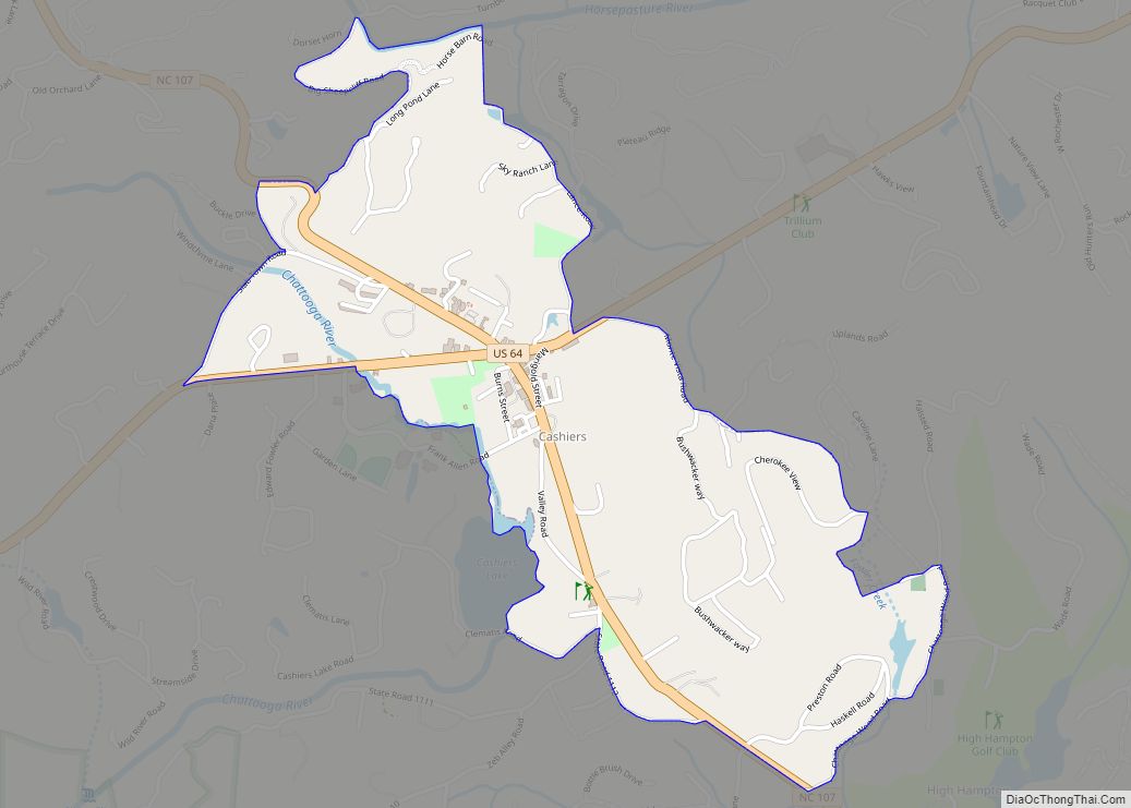
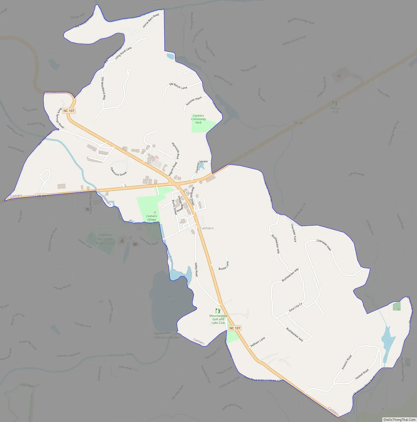
Cashiers is a census-designated place (CDP) and unincorporated village located in southern Jackson County, North Carolina, United States. As of the 2020 United States census, the community had a total population of 657, up from 157 at the 2010 census. Cashiers is pronounced KASH-erz locally, and is one of several communities in the area popular with tourists and owners of vacation homes.
The village is at the crossroads of U.S. Route 64 (US 64) and North Carolina Highway 107 (NC 107), which connects to Highlands, Rosman, Sylva, and Walhalla.
| Name: | Cashiers CDP |
|---|---|
| LSAD Code: | 57 |
| LSAD Description: | CDP (suffix) |
| State: | North Carolina |
| County: | Jackson County |
| Incorporated: | 1927 (inactive) |
| Elevation: | 3,484 ft (1,062 m) |
| Total Area: | 4.13 sq mi (10.70 km²) |
| Land Area: | 4.10 sq mi (10.62 km²) |
| Water Area: | 0.03 sq mi (0.08 km²) |
| Total Population: | 657 |
| Population Density: | 160.24/sq mi (61.88/km²) |
| ZIP code: | 28717 |
| Area code: | 828 |
| FIPS code: | 3710800 |
| GNISfeature ID: | 1019553 |
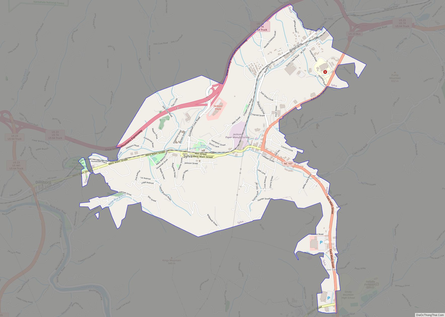
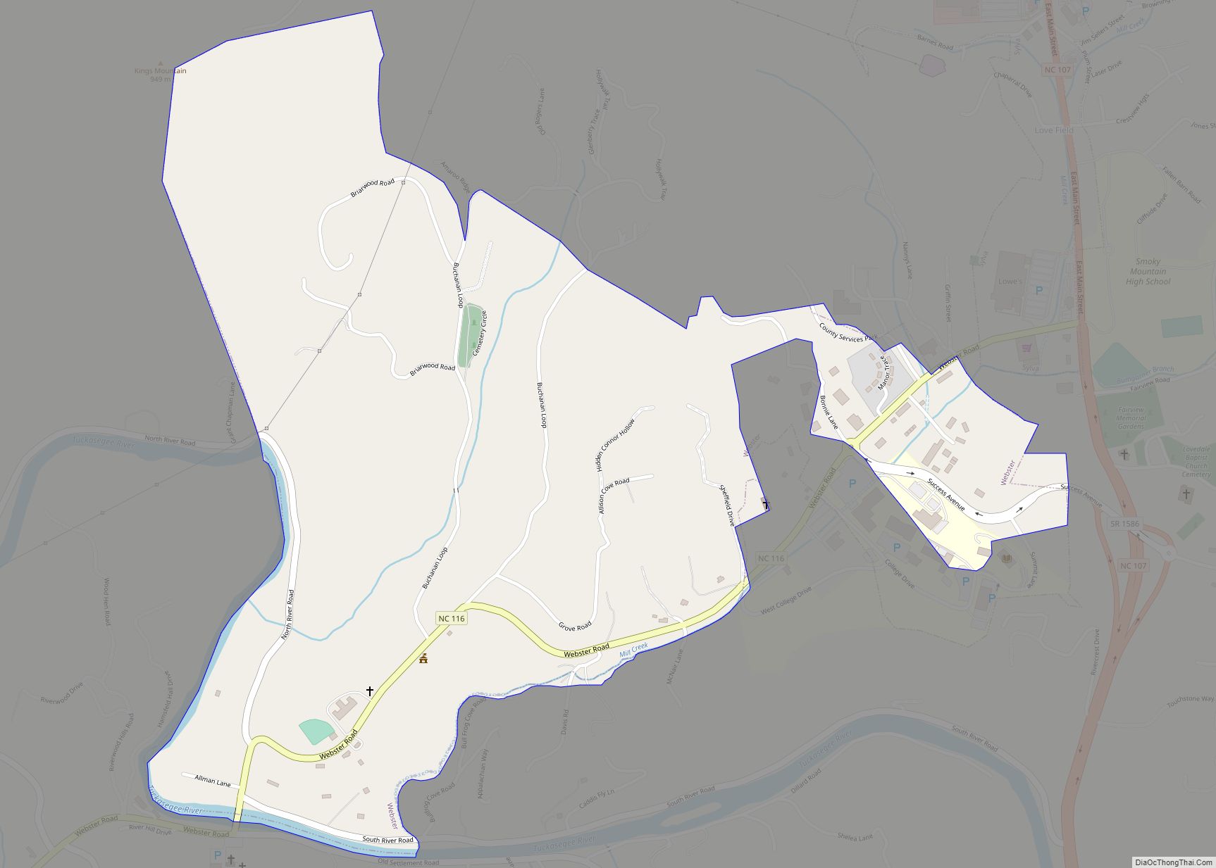
Online Interactive Map
Click on ![]() to view map in "full screen" mode.
to view map in "full screen" mode.
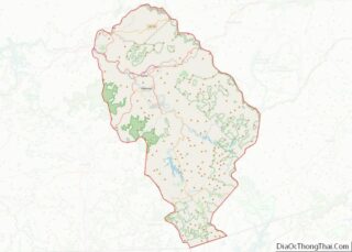
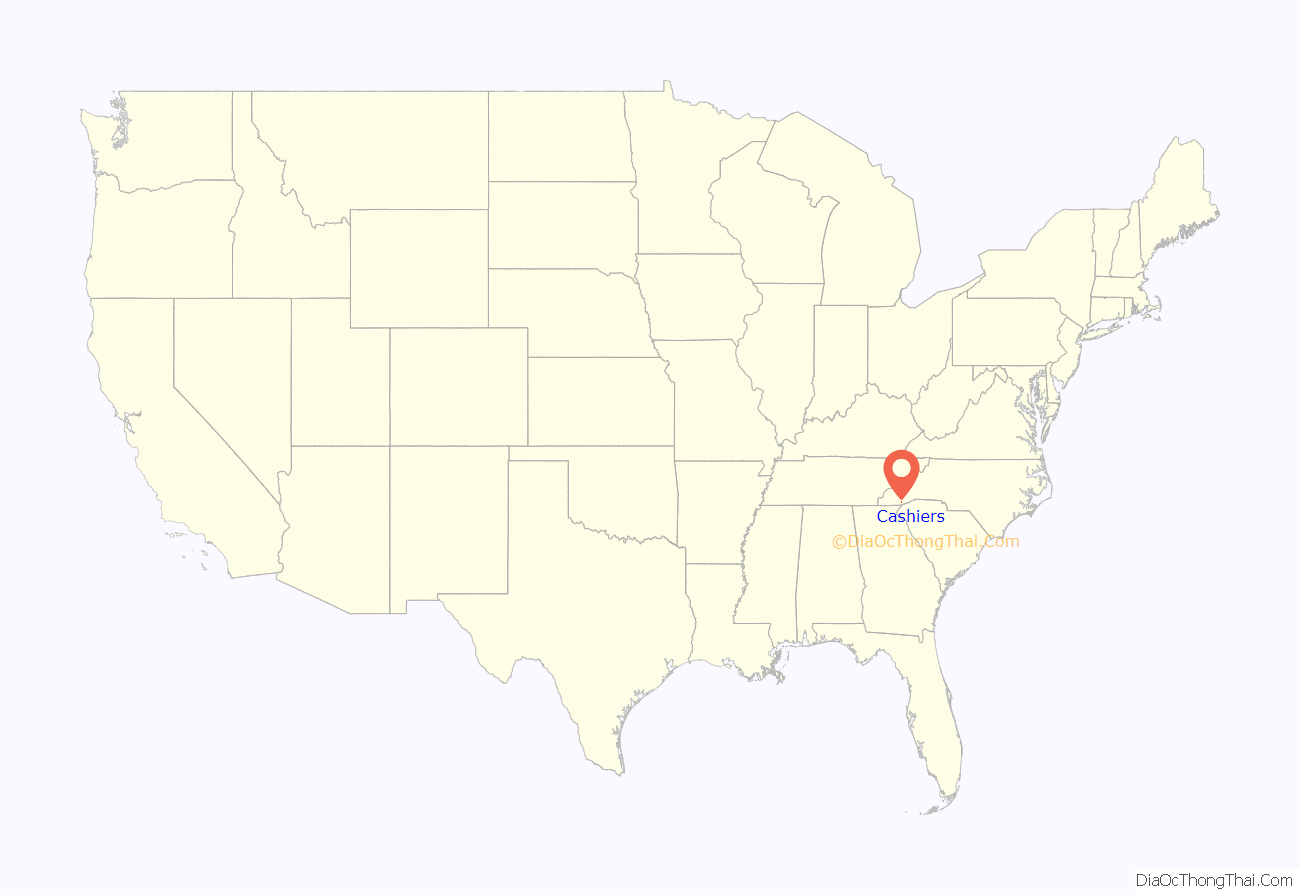
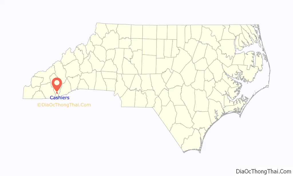
Cashiers location map. Where is Cashiers CDP?
History
The establishment of Cashiers begins with two men: Barak Norton, the first white settler in Whiteside Cove, and Colonel John Zachary, who with his talented sons was responsible for the area’s economic and civic development. Barak Norton came to the area around 1820, and the land he claimed in the area, including a gold mine, would eventually become Cashiers main business district. Colonel John Zachary came to the area in 1833 and by 1836 received a 640-acre (260 ha) state land grant, plus two 100-acre (40 ha) land grants adjoining the 640 acres (260 ha). The Zachary family setup several businesses including general store and sawmill, and provided trade skills including brick mason, hatter, and carpenter.
Several stories exist where the name Cashiers came from, including a racehorse, steer, or mule named Cash or a hermit living in the area with the name. However, it is concluded that the Zachary Family were the ones came up with the name related to their accounting work for individual gold miners in the area, being the “cashier.” In 1939, Jonathan Zachary, the youngest son of the family, applied to become the first postmaster for, what he called, “Cashiers Valley;” this would later be changed to Cashiers in 1881.
In 1851, the first Post Office was established. In 1855, the Zachary Family sold land to Wade Hampton II, in what later became the High Hampton Inn.
In 1927, Cashiers received a town charter from the state, but has since become inactive with no acting government body. In 2003, the North Carolina General Assembly passed local legislation allowing Cashiers to re-incorporate, but this was turned down by a vote of 161 to 302 in a local referendum on August 12. The Jackson County government setup a special zoning council for Cashiers in response; operated by the county, it covers what would normally be done by a municipality.
Five properties near Cashiers are listed on the National Register of Historic Places—Camp Merrie-Woode, the Church of the Good Shepherd, Fairfield Inn, the High Hampton Inn Historic District, and the Mordecai Zachary House.
Cashiers Road Map
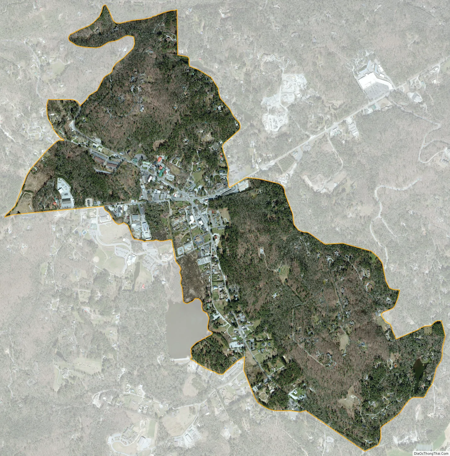
Cashiers city Satellite Map
Geography
Cashiers is located at 35°6′43″N 83°5′58″W / 35.11194°N 83.09944°W / 35.11194; -83.09944 (35.111978, -83.099488).
According to the United States Census Bureau, the community has a total area of 1.1 square miles (2.8 km), all land.
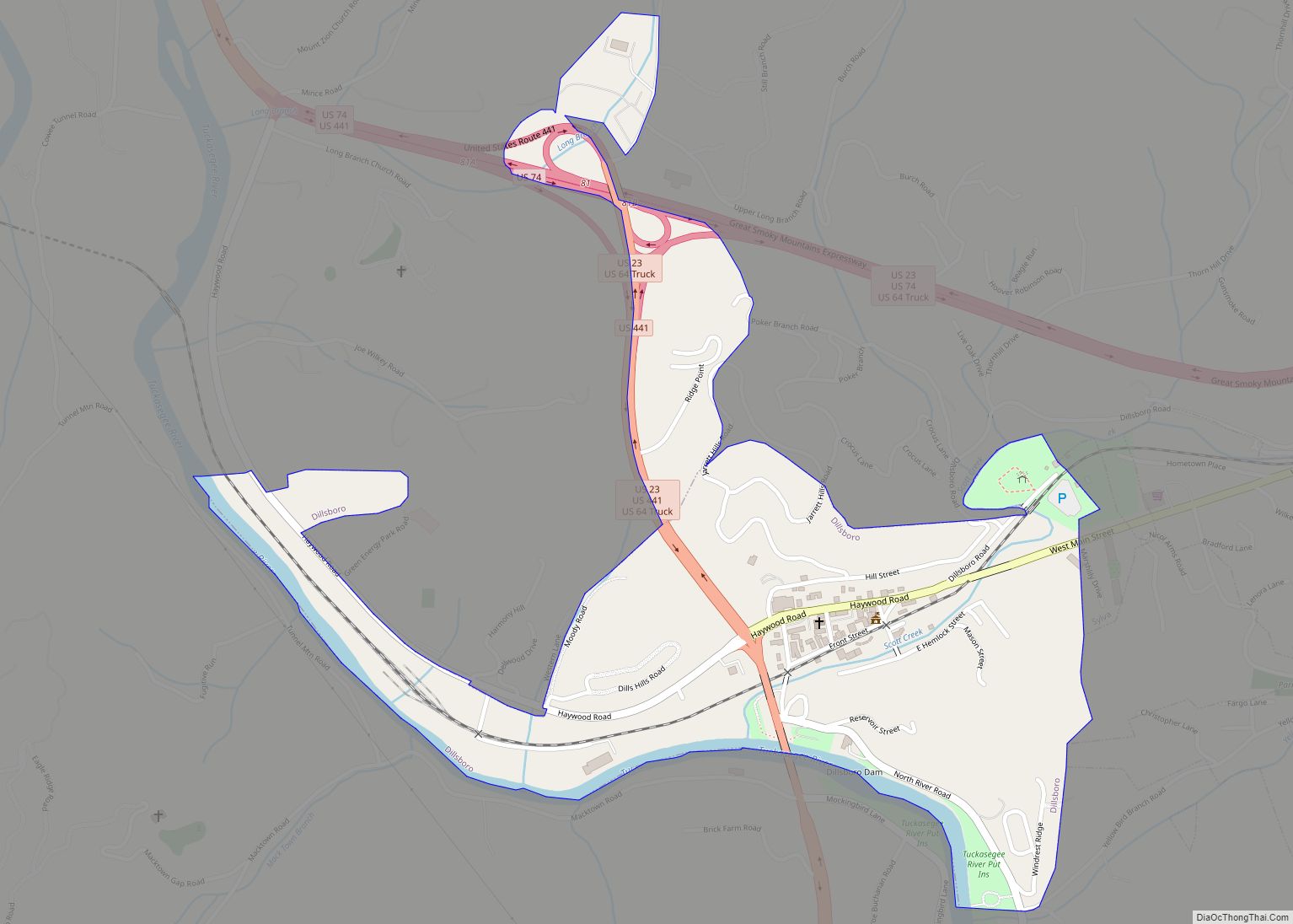
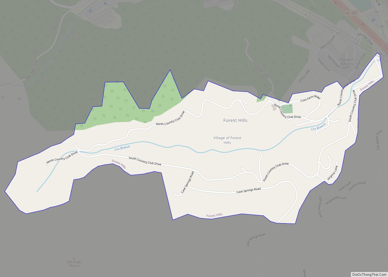
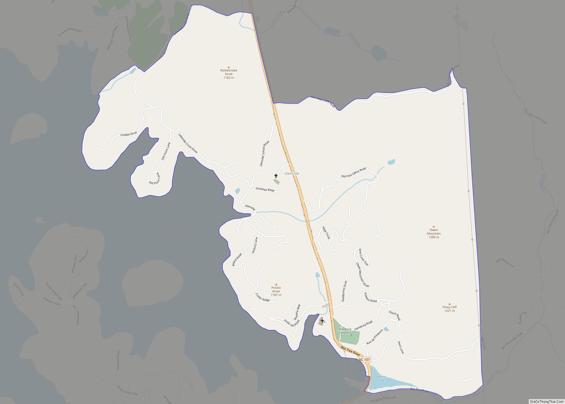
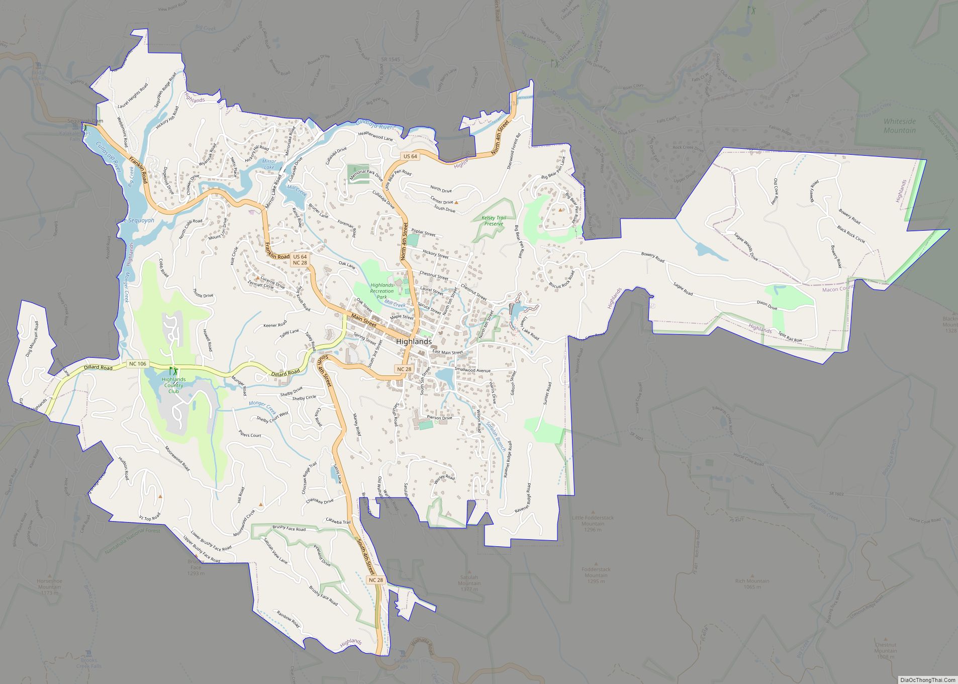
Cashiers and the nearby towns of Highlands, Glenville, and Sapphire comprise a popular mountain vacation area near the southern end of the Blue Ridge Mountains, the easternmost front of the Appalachian Mountains. Cashiers is surrounded by scenic views, waterfalls and Nantahala National Forest lands. Visitors and vacation home owners from all over the southeast enjoy hiking, mountain biking, golf and fly fishing during the warm months of the year.
The United States Forest Service and The Nature Conservancy have both worked to protect several natural areas near Cashiers, including biologically diverse Panthertown Valley, Whitewater Falls, and the Tuckaseegee River Gorge. The Chattooga River also rises near Cashiers.
Climate
Cashiers receives an average of 87.57 inches of precipitation annually, over 7.25 inches a month, making it one of the rainiest places in the eastern United States. It is also one of the coolest places in the mountains, with an average daily July temperature of 78 degrees.
See also
Map of North Carolina State and its subdivision:- Alamance
- Alexander
- Alleghany
- Anson
- Ashe
- Avery
- Beaufort
- Bertie
- Bladen
- Brunswick
- Buncombe
- Burke
- Cabarrus
- Caldwell
- Camden
- Carteret
- Caswell
- Catawba
- Chatham
- Cherokee
- Chowan
- Clay
- Cleveland
- Columbus
- Craven
- Cumberland
- Currituck
- Dare
- Davidson
- Davie
- Duplin
- Durham
- Edgecombe
- Forsyth
- Franklin
- Gaston
- Gates
- Graham
- Granville
- Greene
- Guilford
- Halifax
- Harnett
- Haywood
- Henderson
- Hertford
- Hoke
- Hyde
- Iredell
- Jackson
- Johnston
- Jones
- Lee
- Lenoir
- Lincoln
- Macon
- Madison
- Martin
- McDowell
- Mecklenburg
- Mitchell
- Montgomery
- Moore
- Nash
- New Hanover
- Northampton
- Onslow
- Orange
- Pamlico
- Pasquotank
- Pender
- Perquimans
- Person
- Pitt
- Polk
- Randolph
- Richmond
- Robeson
- Rockingham
- Rowan
- Rutherford
- Sampson
- Scotland
- Stanly
- Stokes
- Surry
- Swain
- Transylvania
- Tyrrell
- Union
- Vance
- Wake
- Warren
- Washington
- Watauga
- Wayne
- Wilkes
- Wilson
- Yadkin
- Yancey
- Alabama
- Alaska
- Arizona
- Arkansas
- California
- Colorado
- Connecticut
- Delaware
- District of Columbia
- Florida
- Georgia
- Hawaii
- Idaho
- Illinois
- Indiana
- Iowa
- Kansas
- Kentucky
- Louisiana
- Maine
- Maryland
- Massachusetts
- Michigan
- Minnesota
- Mississippi
- Missouri
- Montana
- Nebraska
- Nevada
- New Hampshire
- New Jersey
- New Mexico
- New York
- North Carolina
- North Dakota
- Ohio
- Oklahoma
- Oregon
- Pennsylvania
- Rhode Island
- South Carolina
- South Dakota
- Tennessee
- Texas
- Utah
- Vermont
- Virginia
- Washington
- West Virginia
- Wisconsin
- Wyoming