Claremont is a city in Catawba County, North Carolina, United States. The population was 1,352 at the 2010 census. It is part of the Hickory–Lenoir–Morganton Metropolitan Statistical Area.
| Name: | Claremont city |
|---|---|
| LSAD Code: | 25 |
| LSAD Description: | city (suffix) |
| State: | North Carolina |
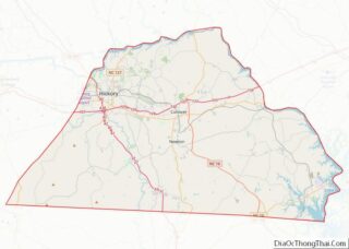
| County: | Catawba County |
| Elevation: | 981 ft (299 m) |
| Total Area: | 2.85 sq mi (7.38 km²) |
| Land Area: | 2.85 sq mi (7.38 km²) |
| Water Area: | 0.00 sq mi (0.00 km²) |
| Total Population: | 1,692 |
| Population Density: | 593.89/sq mi (229.33/km²) |
| ZIP code: | 28610 |
| Area code: | 828 |
| FIPS code: | 3712720 |
| GNISfeature ID: | 1019681 |
| Website: | cityofclaremont.org |
Online Interactive Map
Click on ![]() to view map in "full screen" mode.
to view map in "full screen" mode.
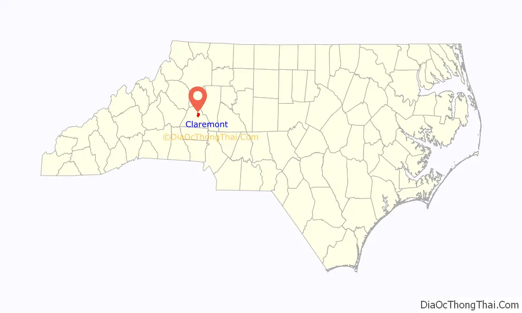
Claremont location map. Where is Claremont city?

History
Originally known as Charlotte Crossing, and later as Setzer Depot, Claremont began using its current name in 1892. The name is from Clare Sigmon, the daughter of an early settler. The city incorporated in 1893.
The Bunker Hill Covered Bridge and Rock Barn Farm are listed on the National Register of Historic Places.
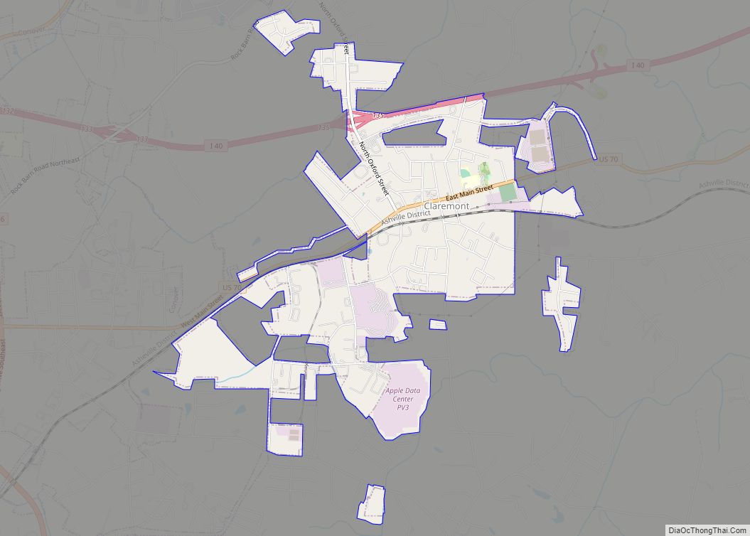
Claremont Road Map
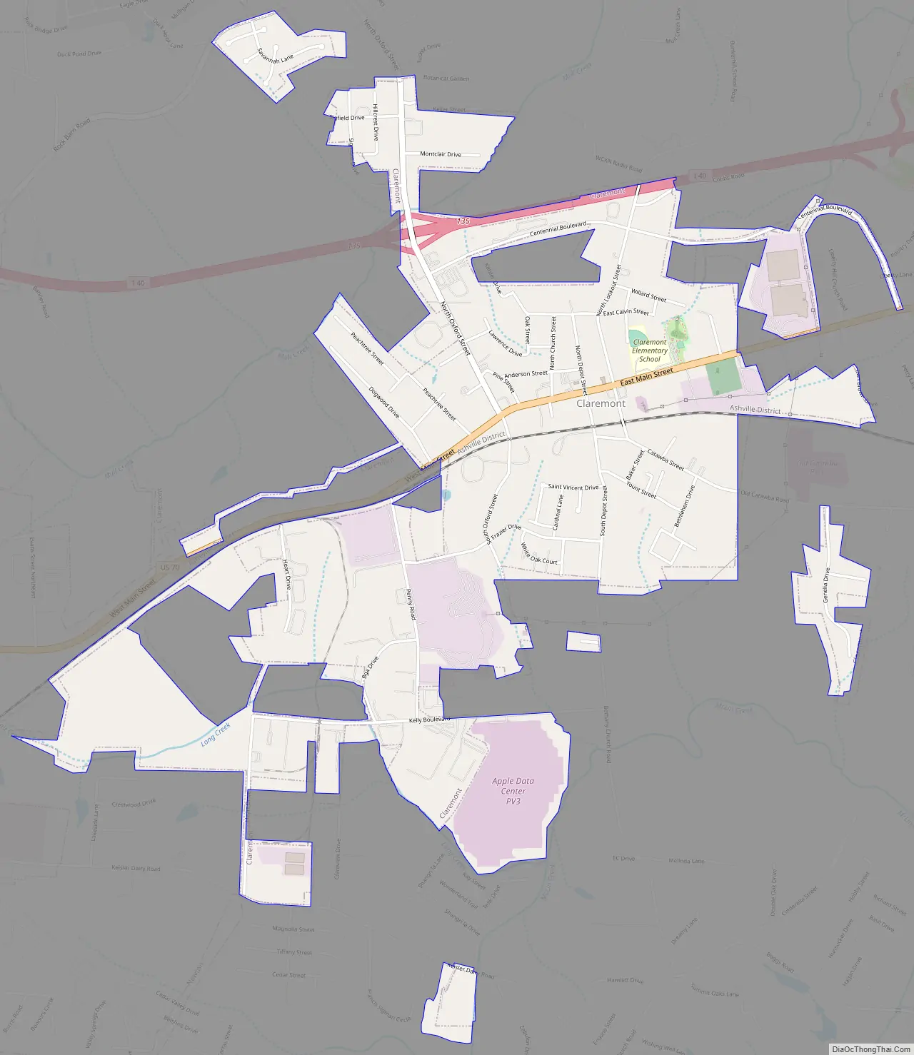
Claremont city Satellite Map

Geography
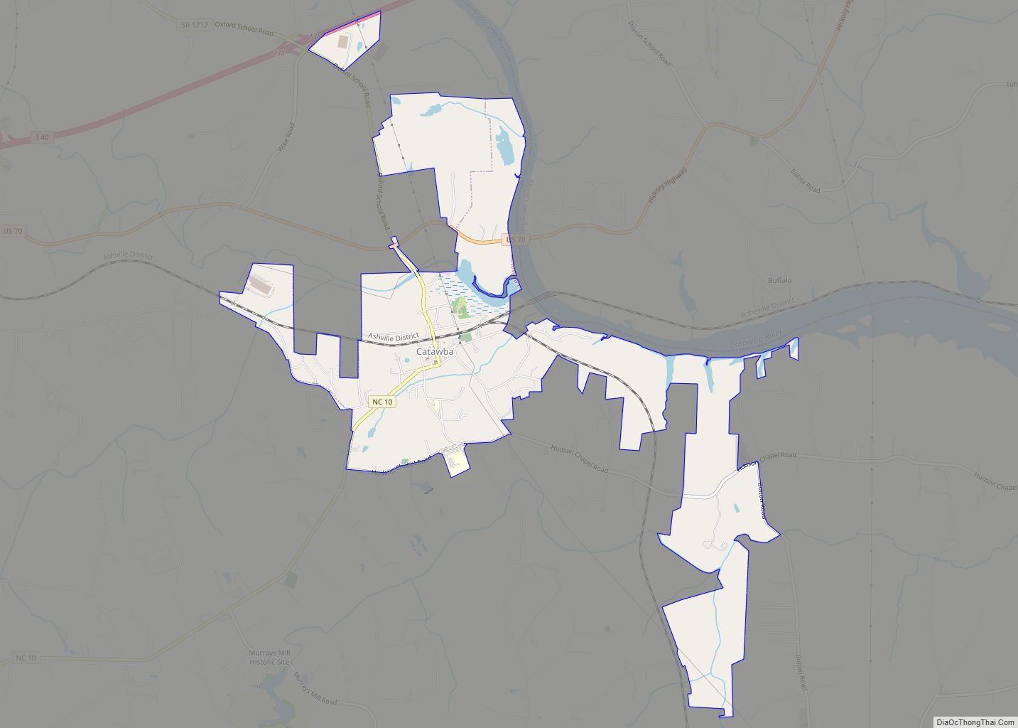
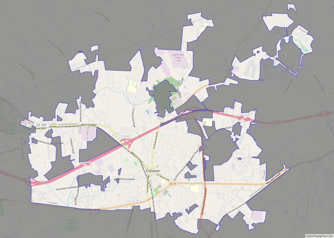
Claremont is located east of the center of Catawba County at 35°42′50″N 81°9′2″W / 35.71389°N 81.15056°W / 35.71389; -81.15056 (35.713752, -81.150661). U.S. Route 70 passes through the center of town, leading west 4 miles (6 km) to Conover and east 4 miles (6 km) to Catawba. Interstate 40 passes just north of the town, with access from Exit 135. I-40 leads west 12 miles (19 km) to Hickory and east 16 miles (26 km) to Statesville.
According to the United States Census Bureau, Claremont has a total area of 2.7 square miles (7.1 km), all land.
See also
Map of North Carolina State and its subdivision:- Alamance
- Alexander
- Alleghany
- Anson
- Ashe
- Avery
- Beaufort
- Bertie
- Bladen
- Brunswick
- Buncombe
- Burke
- Cabarrus
- Caldwell
- Camden
- Carteret
- Caswell
- Catawba
- Chatham
- Cherokee
- Chowan
- Clay
- Cleveland
- Columbus
- Craven
- Cumberland
- Currituck
- Dare
- Davidson
- Davie
- Duplin
- Durham
- Edgecombe
- Forsyth
- Franklin
- Gaston
- Gates
- Graham
- Granville
- Greene
- Guilford
- Halifax
- Harnett
- Haywood
- Henderson
- Hertford
- Hoke
- Hyde
- Iredell
- Jackson
- Johnston
- Jones
- Lee
- Lenoir
- Lincoln
- Macon
- Madison
- Martin
- McDowell
- Mecklenburg
- Mitchell
- Montgomery
- Moore
- Nash
- New Hanover
- Northampton
- Onslow
- Orange
- Pamlico
- Pasquotank
- Pender
- Perquimans
- Person
- Pitt
- Polk
- Randolph
- Richmond
- Robeson
- Rockingham
- Rowan
- Rutherford
- Sampson
- Scotland
- Stanly
- Stokes
- Surry
- Swain
- Transylvania
- Tyrrell
- Union
- Vance
- Wake
- Warren
- Washington
- Watauga
- Wayne
- Wilkes
- Wilson
- Yadkin
- Yancey
- Alabama
- Alaska
- Arizona
- Arkansas
- California
- Colorado
- Connecticut
- Delaware
- District of Columbia
- Florida
- Georgia
- Hawaii
- Idaho
- Illinois
- Indiana
- Iowa
- Kansas
- Kentucky
- Louisiana
- Maine
- Maryland
- Massachusetts
- Michigan
- Minnesota
- Mississippi
- Missouri
- Montana
- Nebraska
- Nevada
- New Hampshire
- New Jersey
- New Mexico
- New York
- North Carolina
- North Dakota
- Ohio
- Oklahoma
- Oregon
- Pennsylvania
- Rhode Island
- South Carolina
- South Dakota
- Tennessee
- Texas
- Utah
- Vermont
- Virginia
- Washington
- West Virginia
- Wisconsin
- Wyoming