Mebane /ˈmɛbən/ is a city located mostly in Alamance County, North Carolina, United States, and partly in Orange County. The town was named for Alexander Mebane, an American Revolutionary War general and member of the U.S. Congress. It was incorporated as “Mebanesville” in 1881, and in 1883 the name was changed to “Mebane”. It was incorporated as a city in 1987. The population as of the 2020 census was 17,768. Mebane is one of the fastest-growing municipalities in North Carolina. Mebane straddles the Research Triangle and Piedmont Triad Regions of North Carolina. The bulk of the city is in Alamance County, which comprises the Burlington Metropolitan Statistical Area, itself a component of the Greensboro–Winston-Salem–High Point Combined Statistical Area. Two slivers in the eastern portion of the city are in Orange County, which is part of the Durham–Chapel Hill Metropolitan Statistical Area, itself a component of the Raleigh-Durham-Chapel Hill Combined Statistical Area.
| Name: | Mebane city |
|---|---|
| LSAD Code: | 25 |
| LSAD Description: | city (suffix) |
| State: | North Carolina |
| County: | Alamance County, Orange County |
| Elevation: | 673 ft (205 m) |
| Total Area: | 11.17 sq mi (28.94 km²) |
| Land Area: | 11.01 sq mi (28.51 km²) |
| Water Area: | 0.17 sq mi (0.43 km²) |
| Total Population: | 17,797 |
| Population Density: | 1,616.88/sq mi (624.27/km²) |
| ZIP code: | 27302 |
| Area code: | 919/336 |
| FIPS code: | 3742240 |
| GNISfeature ID: | 1021404 |
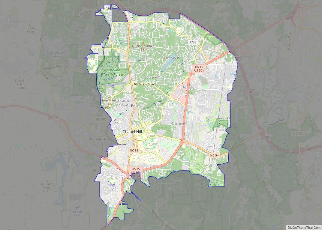
Online Interactive Map
Click on ![]() to view map in "full screen" mode.
to view map in "full screen" mode.
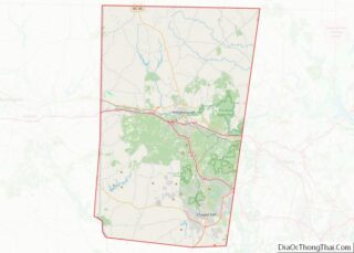
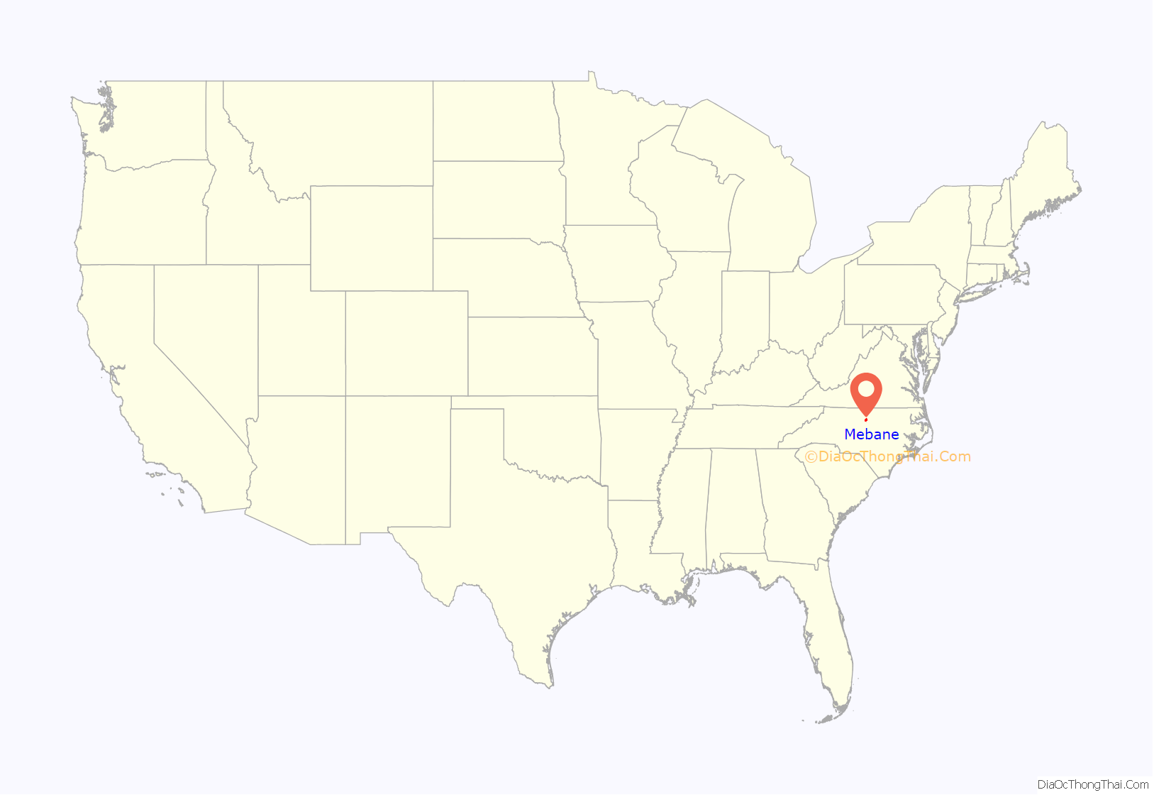
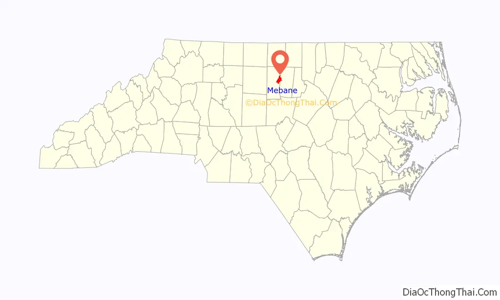
Mebane location map. Where is Mebane city?
History
The town was incorporated as Mebansville in 1880. Its name was changed to Mebane three years later. It is named after Brigadier General Alexander Mebane, an officer during the American Revolution who later served as a U.S. Congressman.
The Charles F. and Howard Cates Farm, William Cook House, Cooper School, Cross Roads Presbyterian Church and Cemetery and Stainback Store, Durham Hosiery Mill No. 15, Griffis-Patton House, Thomas Guy House, Hawfields Presbyterian Church, Henderson Scott Farm Historic District, Mebane Commercial Historic District, Old South Mebane Historic District, Paisley-Rice Log House, White Furniture Company, and Woodlawn School are listed on the National Register of Historic Places.
In 1939 as part of the New Deal, Margaret C. Gates won a competition sponsored by the Section of Painting and Sculpture of the Treasury Department to create a post office mural in Mebane. Her painting, Landscape—Tobacco Curing, which showed a man and a young boy walking in tandem on their way to work on a tobacco farm, was completed and installed in 1941. In 1965, when the post office was remodeled, the mural was damaged beyond repair, as officials tried to remove it for restoration. A local artist, Henry E. Rood III, was hired to create an exact replica of the painting to adorn the new facility.
While the North Carolina Department of Transportation has long had plans to reroute North Carolina Highway 119, currently running through the city’s downtown, to a new alignment further west, concerns in predominantly African-American communities along the proposed route, combined with longstanding dissatisfaction with access to municipal services, resulted in civil rights complaints being filed by the West End Revitalization Association and other local residents against the Department of Transportation and city government. Although a four-year moratorium on the project was established in 1999, the Federal Highway Administration eventually granted approval in December 2009.
In October 2014, the city council voted to adopt a new seal and slogan, replacing “A progressive community, the perfect place to call home” with “Positively Charming”.
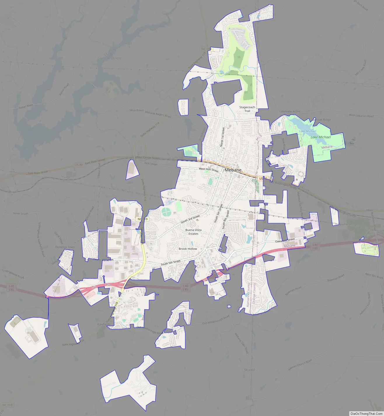
Mebane Road Map
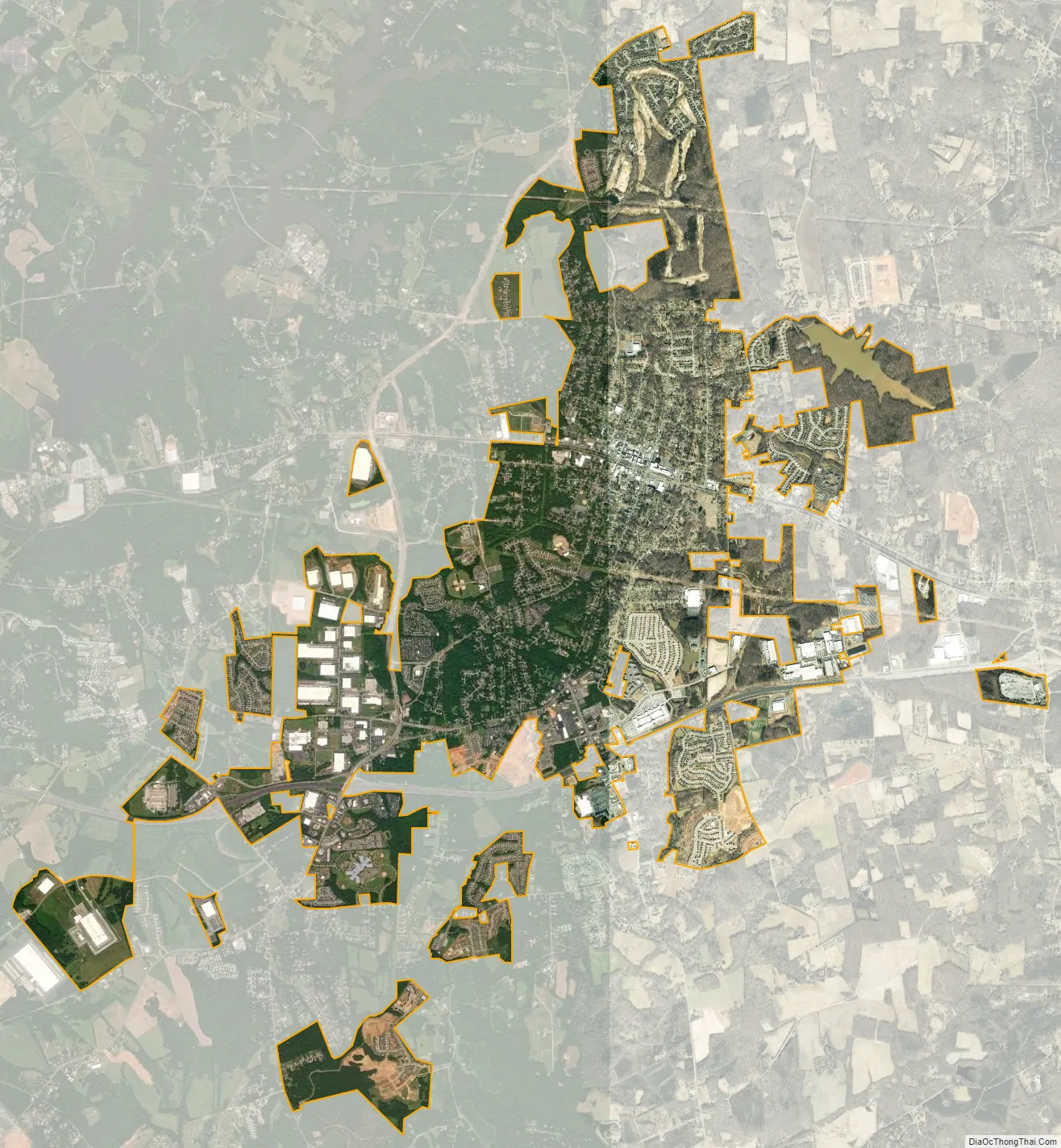
Mebane city Satellite Map
Geography
Mebane is located at 36°5′45″N 79°16′15″W / 36.09583°N 79.27083°W / 36.09583; -79.27083 (36.095957, -79.270861). According to the United States Census Bureau, the city has a total area of 8.5 square miles (21.9 km), of which 8.3 square miles (21.6 km) are land and 0.12 square miles (0.3 km), or 1.36%, is water.
See also
Map of North Carolina State and its subdivision:- Alamance
- Alexander
- Alleghany
- Anson
- Ashe
- Avery
- Beaufort
- Bertie
- Bladen
- Brunswick
- Buncombe
- Burke
- Cabarrus
- Caldwell
- Camden
- Carteret
- Caswell
- Catawba
- Chatham
- Cherokee
- Chowan
- Clay
- Cleveland
- Columbus
- Craven
- Cumberland
- Currituck
- Dare
- Davidson
- Davie
- Duplin
- Durham
- Edgecombe
- Forsyth
- Franklin
- Gaston
- Gates
- Graham
- Granville
- Greene
- Guilford
- Halifax
- Harnett
- Haywood
- Henderson
- Hertford
- Hoke
- Hyde
- Iredell
- Jackson
- Johnston
- Jones
- Lee
- Lenoir
- Lincoln
- Macon
- Madison
- Martin
- McDowell
- Mecklenburg
- Mitchell
- Montgomery
- Moore
- Nash
- New Hanover
- Northampton
- Onslow
- Orange
- Pamlico
- Pasquotank
- Pender
- Perquimans
- Person
- Pitt
- Polk
- Randolph
- Richmond
- Robeson
- Rockingham
- Rowan
- Rutherford
- Sampson
- Scotland
- Stanly
- Stokes
- Surry
- Swain
- Transylvania
- Tyrrell
- Union
- Vance
- Wake
- Warren
- Washington
- Watauga
- Wayne
- Wilkes
- Wilson
- Yadkin
- Yancey
- Alabama
- Alaska
- Arizona
- Arkansas
- California
- Colorado
- Connecticut
- Delaware
- District of Columbia
- Florida
- Georgia
- Hawaii
- Idaho
- Illinois
- Indiana
- Iowa
- Kansas
- Kentucky
- Louisiana
- Maine
- Maryland
- Massachusetts
- Michigan
- Minnesota
- Mississippi
- Missouri
- Montana
- Nebraska
- Nevada
- New Hampshire
- New Jersey
- New Mexico
- New York
- North Carolina
- North Dakota
- Ohio
- Oklahoma
- Oregon
- Pennsylvania
- Rhode Island
- South Carolina
- South Dakota
- Tennessee
- Texas
- Utah
- Vermont
- Virginia
- Washington
- West Virginia
- Wisconsin
- Wyoming