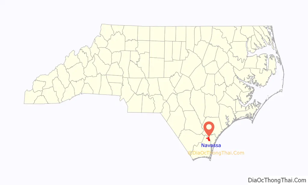
Navassa is a town in Brunswick County, North Carolina, United States. The population was 1,505 at the 2010 census, up from 479 in 2000. Navassa is part of the Wilmington, North Carolina metropolitan area.
| Name: | Navassa town |
|---|---|
| LSAD Code: | 43 |
| LSAD Description: | town (suffix) |
| State: | North Carolina |
| County: | Brunswick County |
| Elevation: | 16 ft (5 m) |
| Total Area: | 13.79 sq mi (35.71 km²) |
| Land Area: | 13.33 sq mi (34.52 km²) |
| Water Area: | 0.46 sq mi (1.19 km²) |
| Total Population: | 1,367 |
| Population Density: | 102.57/sq mi (39.60/km²) |
| ZIP code: | 28451 |
| FIPS code: | 3746060 |
| GNISfeature ID: | 1025573 |
| Website: | townofnavassa.org |
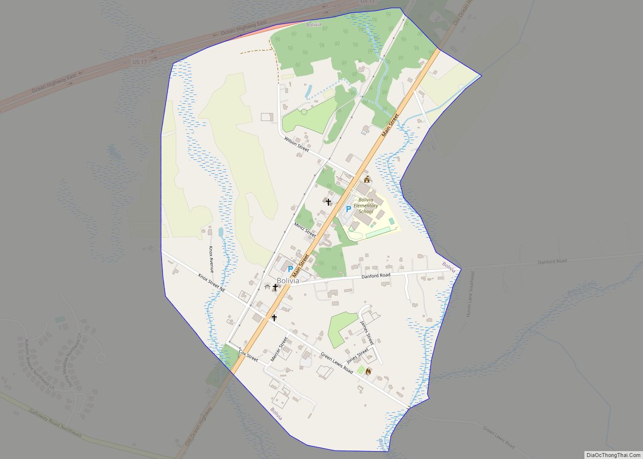
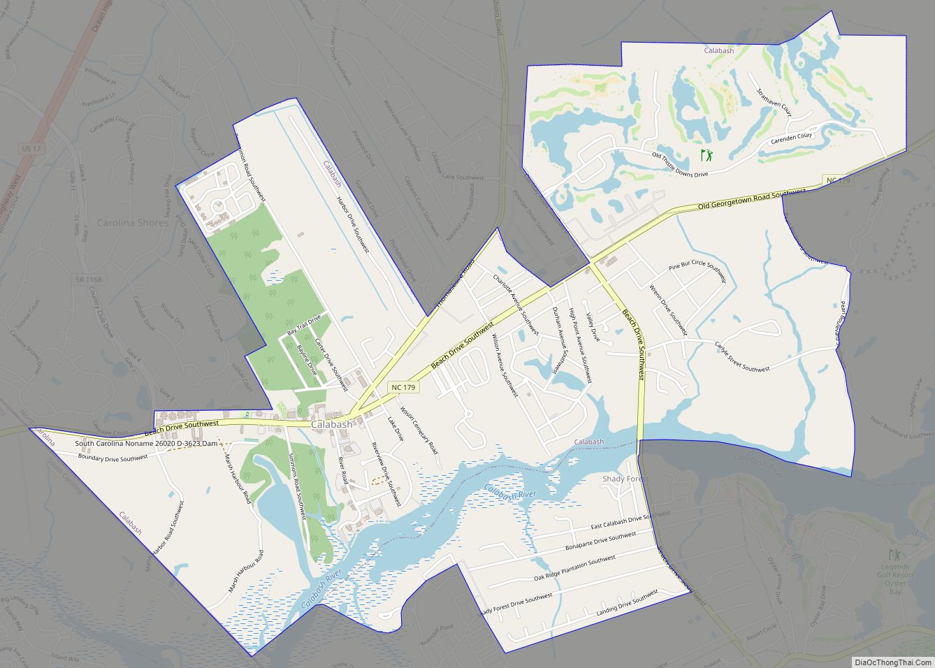
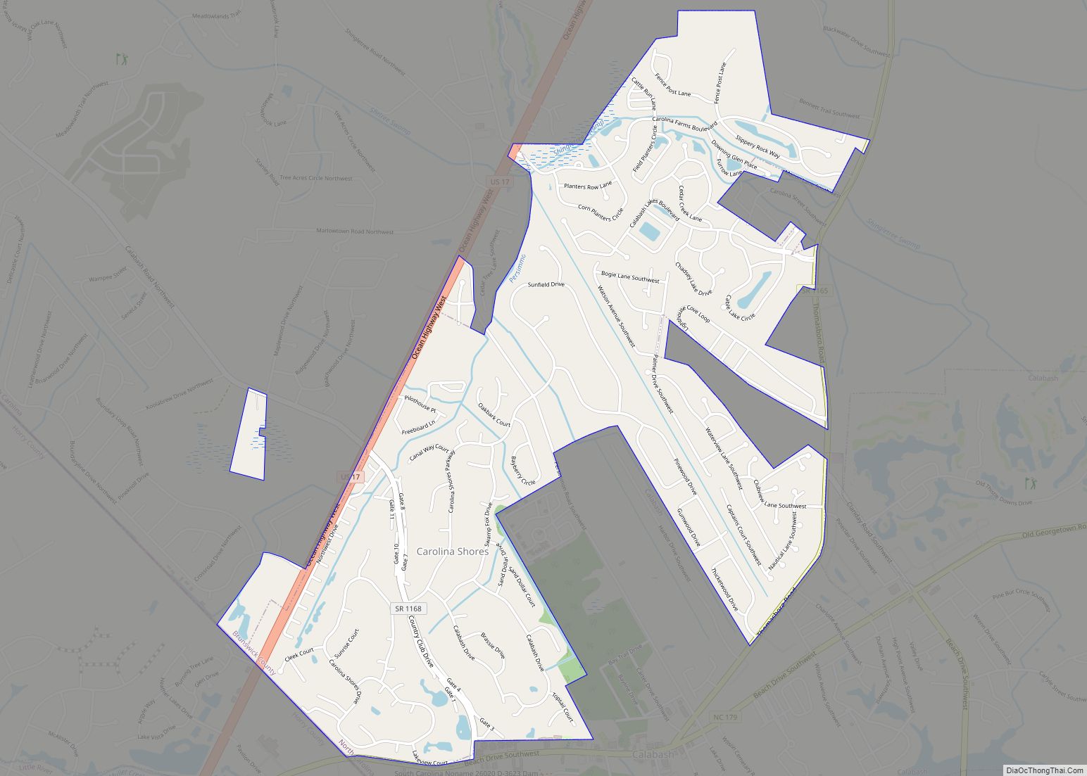
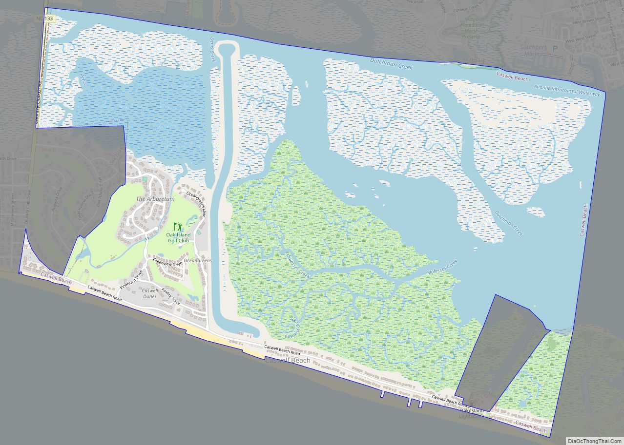
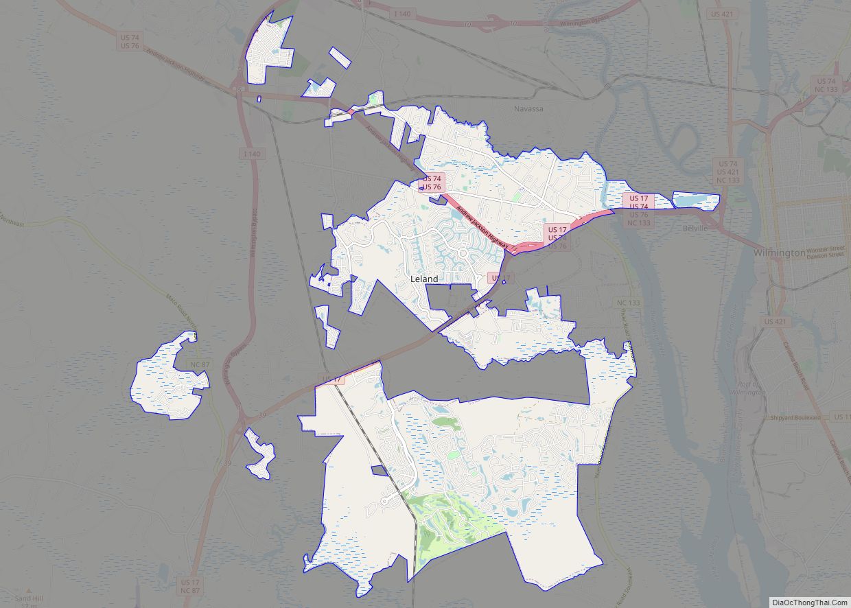
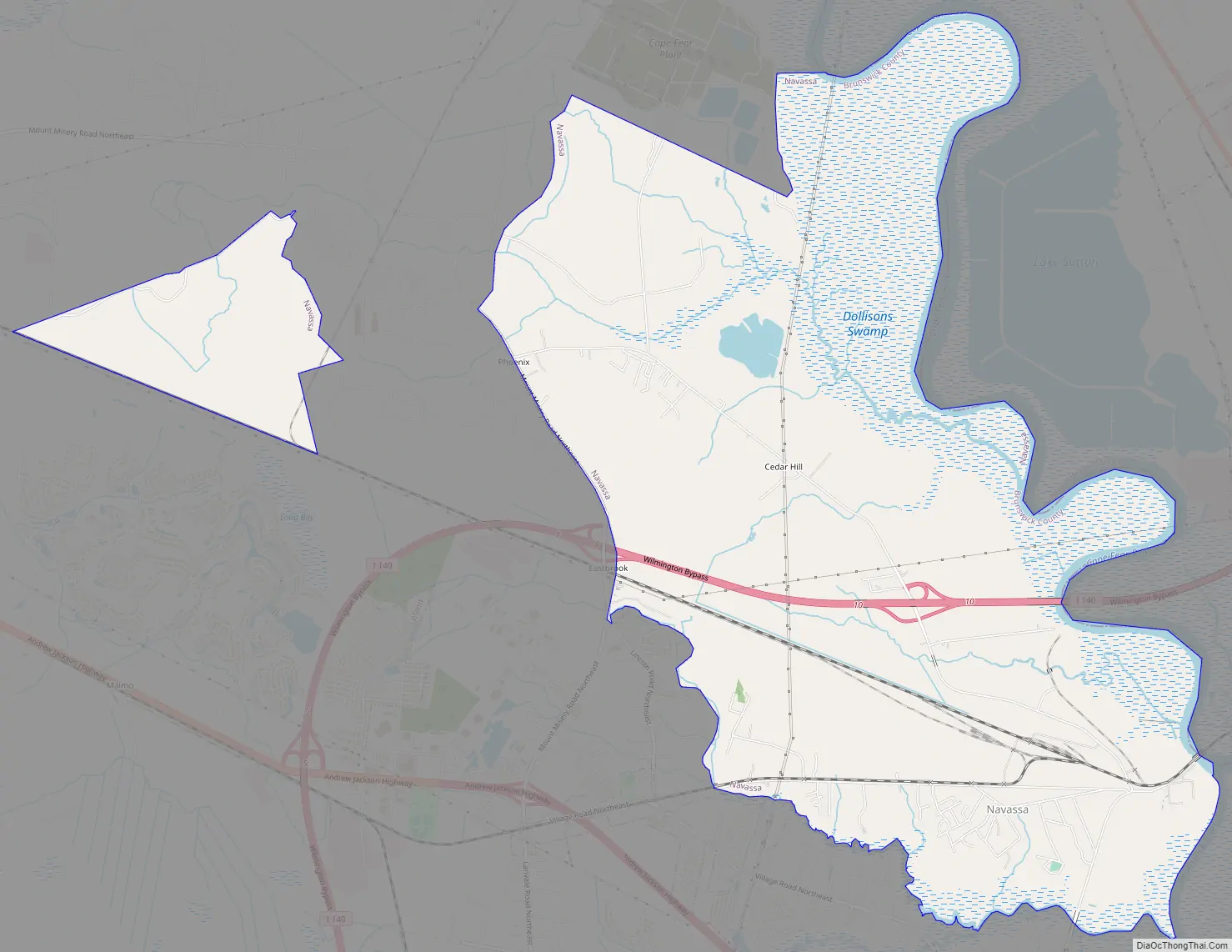
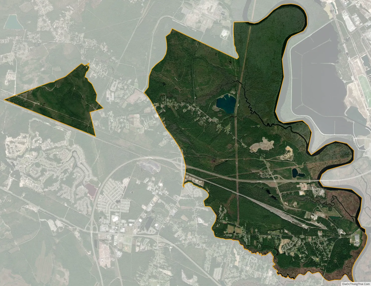
Online Interactive Map
Click on ![]() to view map in "full screen" mode.
to view map in "full screen" mode.

History
A post office called Navassa was established in 1903. The community was named after Navassa Island. Navassa was incorporated as a town in 1977.
Geography
Navassa is located at 34°15′25″N 78°0′17″W / 34.25694°N 78.00472°W / 34.25694; -78.00472 (34.256846, -78.004818) along the Brunswick and Cape Fear rivers.
According to the United States Census Bureau, the town has a total area of 13.8 square miles (35.8 km), of which 13.3 square miles (34.5 km) is land and 0.50 square miles (1.3 km) (3.50%) is water.
See also
Map of North Carolina State and its subdivision:- Alamance
- Alexander
- Alleghany
- Anson
- Ashe
- Avery
- Beaufort
- Bertie
- Bladen
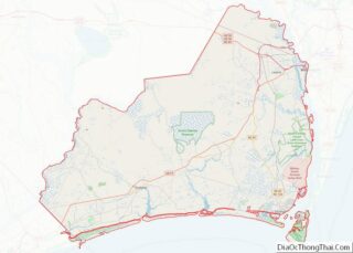
- Brunswick
- Buncombe
- Burke
- Cabarrus
- Caldwell
- Camden
- Carteret
- Caswell
- Catawba
- Chatham
- Cherokee
- Chowan
- Clay
- Cleveland
- Columbus
- Craven
- Cumberland
- Currituck
- Dare
- Davidson
- Davie
- Duplin
- Durham
- Edgecombe
- Forsyth
- Franklin
- Gaston
- Gates
- Graham
- Granville
- Greene
- Guilford
- Halifax
- Harnett
- Haywood
- Henderson
- Hertford
- Hoke
- Hyde
- Iredell
- Jackson
- Johnston
- Jones
- Lee
- Lenoir
- Lincoln
- Macon
- Madison
- Martin
- McDowell
- Mecklenburg
- Mitchell
- Montgomery
- Moore
- Nash
- New Hanover
- Northampton
- Onslow
- Orange
- Pamlico
- Pasquotank
- Pender
- Perquimans
- Person
- Pitt
- Polk
- Randolph
- Richmond
- Robeson
- Rockingham
- Rowan
- Rutherford
- Sampson
- Scotland
- Stanly
- Stokes
- Surry
- Swain
- Transylvania
- Tyrrell
- Union
- Vance
- Wake
- Warren
- Washington
- Watauga
- Wayne
- Wilkes
- Wilson
- Yadkin
- Yancey
- Alabama
- Alaska
- Arizona
- Arkansas
- California
- Colorado
- Connecticut
- Delaware
- District of Columbia
- Florida
- Georgia
- Hawaii
- Idaho
- Illinois
- Indiana
- Iowa
- Kansas
- Kentucky
- Louisiana
- Maine
- Maryland
- Massachusetts
- Michigan
- Minnesota
- Mississippi
- Missouri
- Montana
- Nebraska
- Nevada
- New Hampshire
- New Jersey
- New Mexico
- New York
- North Carolina
- North Dakota
- Ohio
- Oklahoma
- Oregon
- Pennsylvania
- Rhode Island
- South Carolina
- South Dakota
- Tennessee
- Texas
- Utah
- Vermont
- Virginia
- Washington
- West Virginia
- Wisconsin
- Wyoming