Sawmills is a town in Caldwell County, North Carolina, United States. As of the 2010 census, the town population was 5,240. It is part of the Hickory–Lenoir–Morganton Metropolitan Statistical Area. The town is named after the timber industry that formerly predominated in the area during its early history.
| Name: | Sawmills town |
|---|---|
| LSAD Code: | 43 |
| LSAD Description: | town (suffix) |
| State: | North Carolina |
| County: | Caldwell County |
| Elevation: | 1,247 ft (380 m) |
| Total Area: | 6.61 sq mi (17.13 km²) |
| Land Area: | 6.61 sq mi (17.11 km²) |
| Water Area: | 0.01 sq mi (0.02 km²) |
| Total Population: | 5,020 |
| Population Density: | 759.69/sq mi (293.33/km²) |
| FIPS code: | 3759540 |
| GNISfeature ID: | 1027457 |
| Website: | townofsawmills.com |
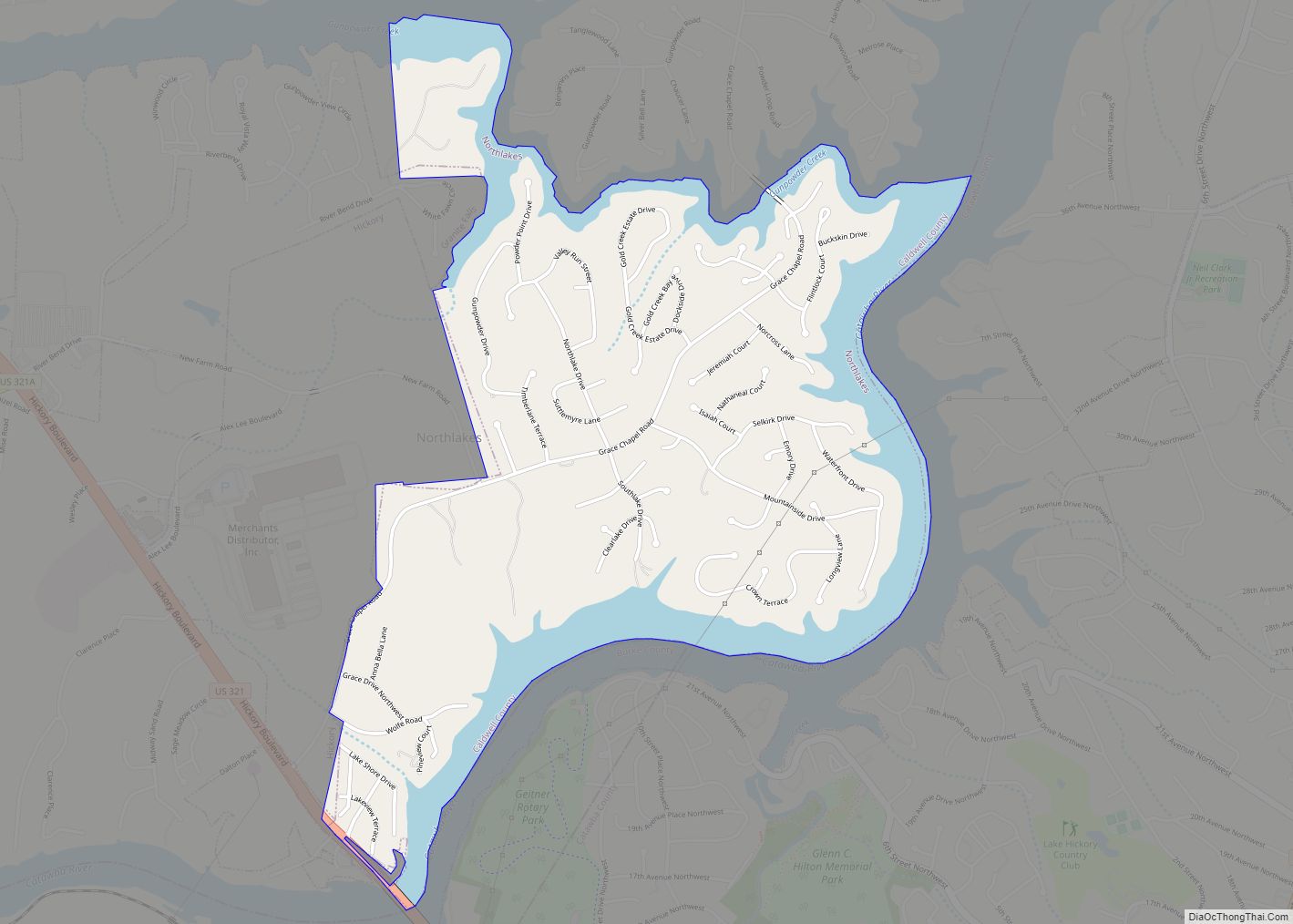
Online Interactive Map
Click on ![]() to view map in "full screen" mode.
to view map in "full screen" mode.
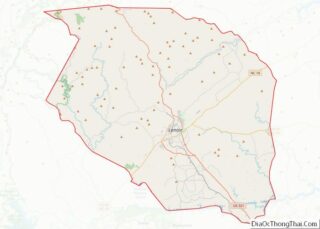
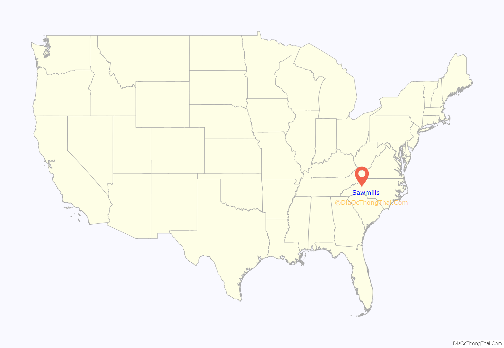
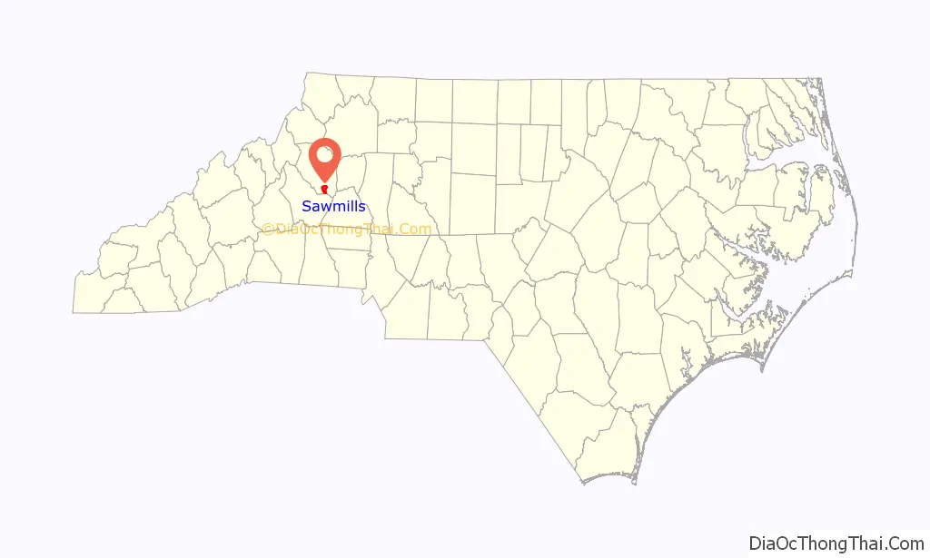
Sawmills location map. Where is Sawmills town?
History
The community of Sawmills began in the late 1800s. The name “Sawmills” originates from the sawmills that were set up in the area due to the timber industry. The railroad system that ran through Caldwell County is one of the main reasons for the sawmills to locate in what would become the community of Sawmills. Sawmills was incorporated as a town in 1988. The nearby towns of Granite Falls and Hudson battling for potential business property in the area, is what led the Sawmills community to vote for incorporation.
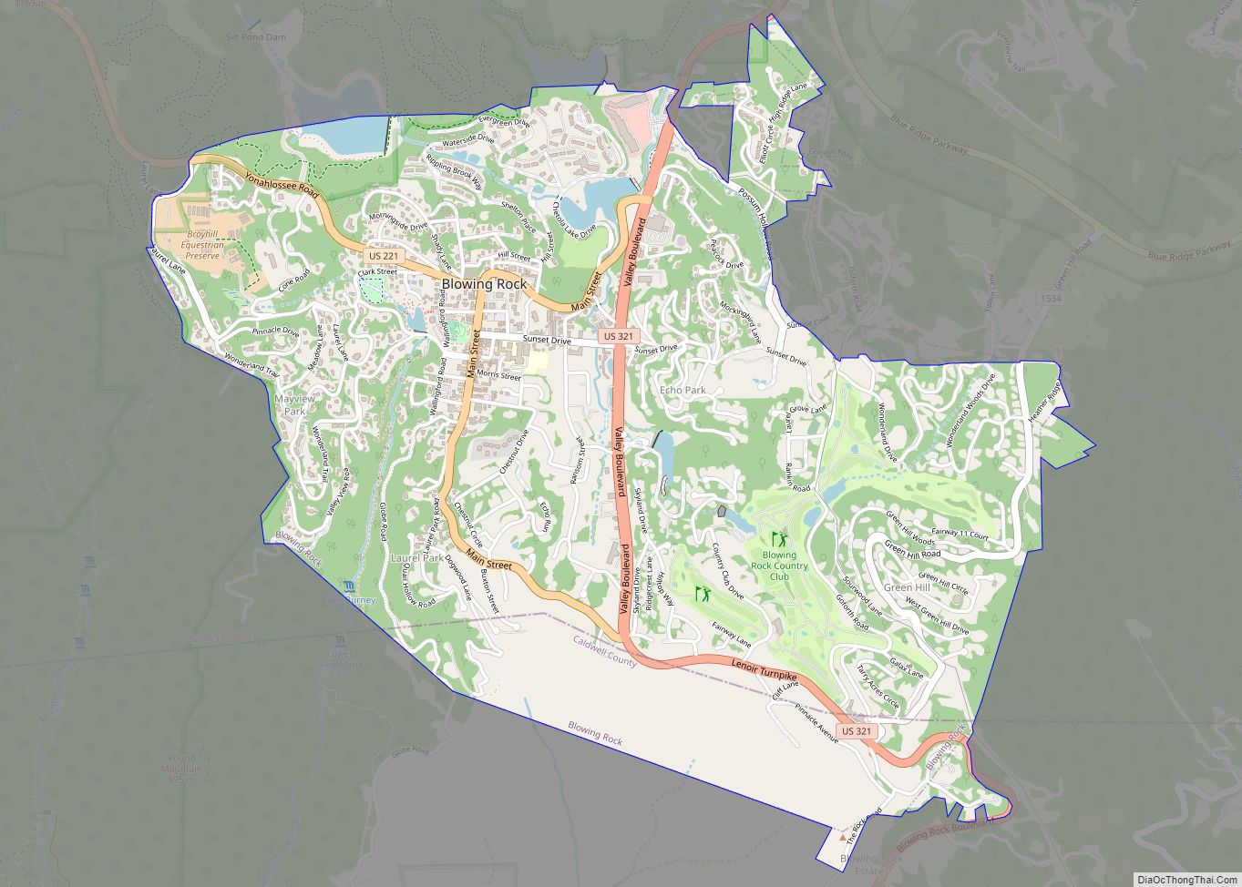
Sawmills Road Map
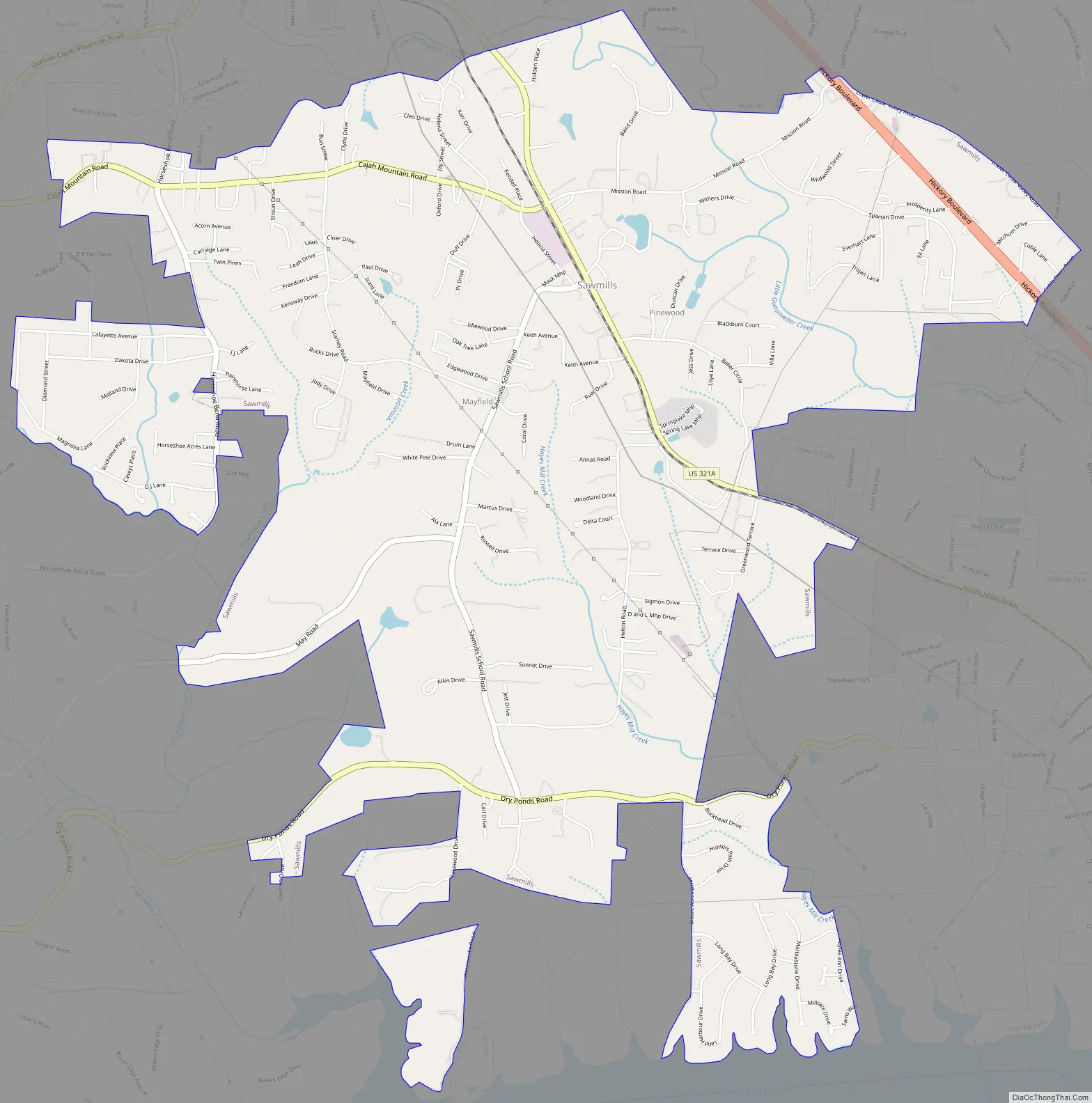
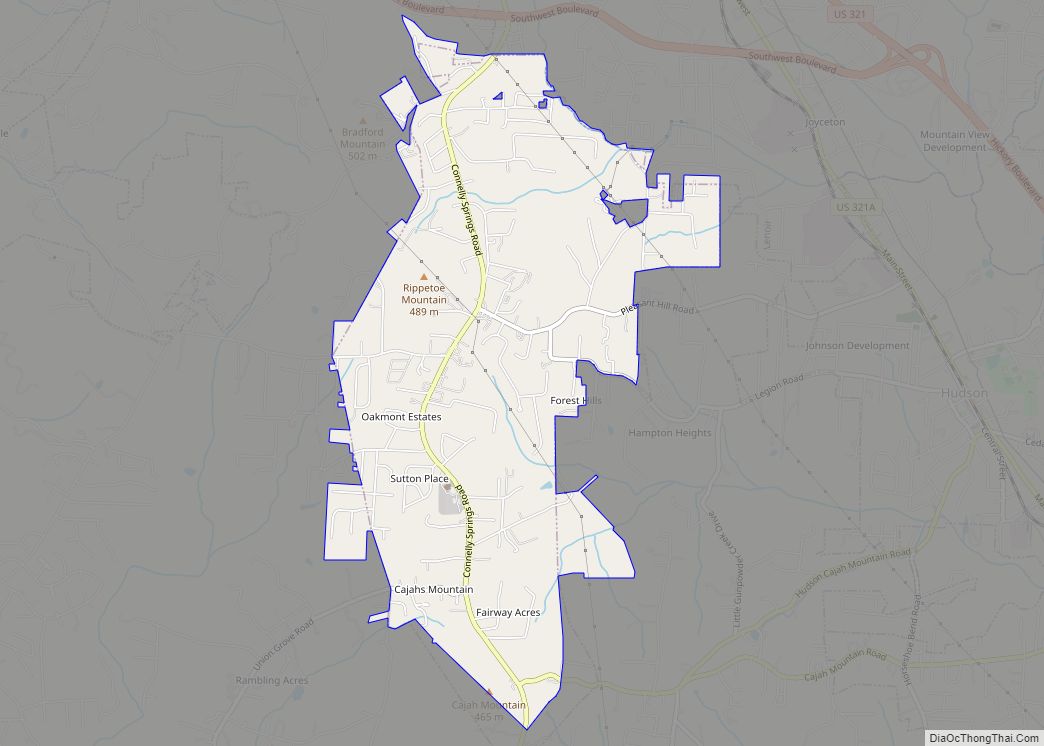
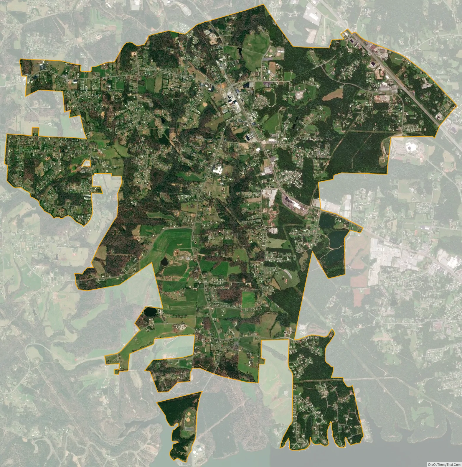
Sawmills city Satellite Map
Geography
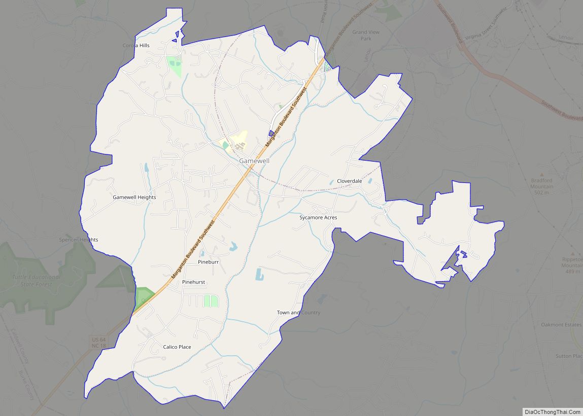
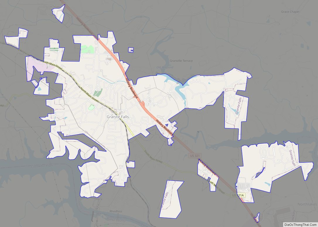
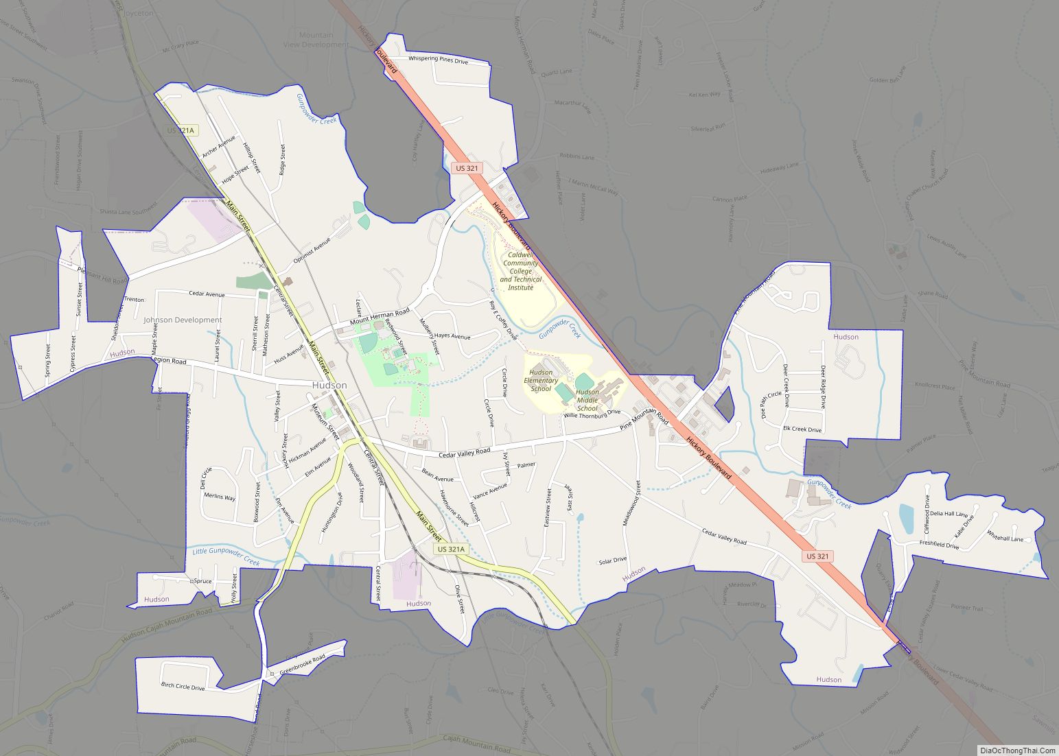
Sawmills is located in southern Caldwell County, bordered by Hudson to the north and Granite Falls to the east. Rhodhiss Lake borders the town to the south.
According to the U.S. Census Bureau, Sawmills has a total area of 6.6 square miles (17.2 km), of which 0.008 square miles (0.02 km), or 0.09%, is water.
Sawmills Veterans Park is located on Rhodhiss Lake, providing trails and recreational facilities such as baseball fields, a soccer field, playground, boat launch area, and an 18-hole disc golf course.
See also
Map of North Carolina State and its subdivision:- Alamance
- Alexander
- Alleghany
- Anson
- Ashe
- Avery
- Beaufort
- Bertie
- Bladen
- Brunswick
- Buncombe
- Burke
- Cabarrus
- Caldwell
- Camden
- Carteret
- Caswell
- Catawba
- Chatham
- Cherokee
- Chowan
- Clay
- Cleveland
- Columbus
- Craven
- Cumberland
- Currituck
- Dare
- Davidson
- Davie
- Duplin
- Durham
- Edgecombe
- Forsyth
- Franklin
- Gaston
- Gates
- Graham
- Granville
- Greene
- Guilford
- Halifax
- Harnett
- Haywood
- Henderson
- Hertford
- Hoke
- Hyde
- Iredell
- Jackson
- Johnston
- Jones
- Lee
- Lenoir
- Lincoln
- Macon
- Madison
- Martin
- McDowell
- Mecklenburg
- Mitchell
- Montgomery
- Moore
- Nash
- New Hanover
- Northampton
- Onslow
- Orange
- Pamlico
- Pasquotank
- Pender
- Perquimans
- Person
- Pitt
- Polk
- Randolph
- Richmond
- Robeson
- Rockingham
- Rowan
- Rutherford
- Sampson
- Scotland
- Stanly
- Stokes
- Surry
- Swain
- Transylvania
- Tyrrell
- Union
- Vance
- Wake
- Warren
- Washington
- Watauga
- Wayne
- Wilkes
- Wilson
- Yadkin
- Yancey
- Alabama
- Alaska
- Arizona
- Arkansas
- California
- Colorado
- Connecticut
- Delaware
- District of Columbia
- Florida
- Georgia
- Hawaii
- Idaho
- Illinois
- Indiana
- Iowa
- Kansas
- Kentucky
- Louisiana
- Maine
- Maryland
- Massachusetts
- Michigan
- Minnesota
- Mississippi
- Missouri
- Montana
- Nebraska
- Nevada
- New Hampshire
- New Jersey
- New Mexico
- New York
- North Carolina
- North Dakota
- Ohio
- Oklahoma
- Oregon
- Pennsylvania
- Rhode Island
- South Carolina
- South Dakota
- Tennessee
- Texas
- Utah
- Vermont
- Virginia
- Washington
- West Virginia
- Wisconsin
- Wyoming