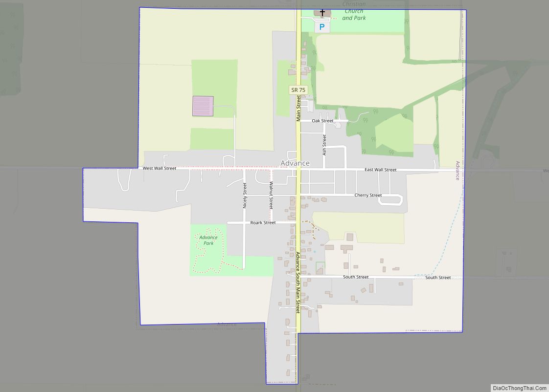
Advance is a town in Jackson Township, Boone County, Indiana, United States. The population was 477 at the 2010 census.
| Name: | Advance town |
|---|---|
| LSAD Code: | 43 |
| LSAD Description: | town (suffix) |
| State: | Indiana |
| County: | Boone County |
| Elevation: | 932 ft (284 m) |
| Total Area: | 0.59 sq mi (1.53 km²) |
| Land Area: | 0.59 sq mi (1.53 km²) |
| Water Area: | 0.00 sq mi (0.00 km²) |
| Total Population: | 503 |
| Population Density: | 853.99/sq mi (329.66/km²) |
| ZIP code: | 46102 |
| Area code: | 765 |
| FIPS code: | 1800640 |
| Website: | townofadvance.com |
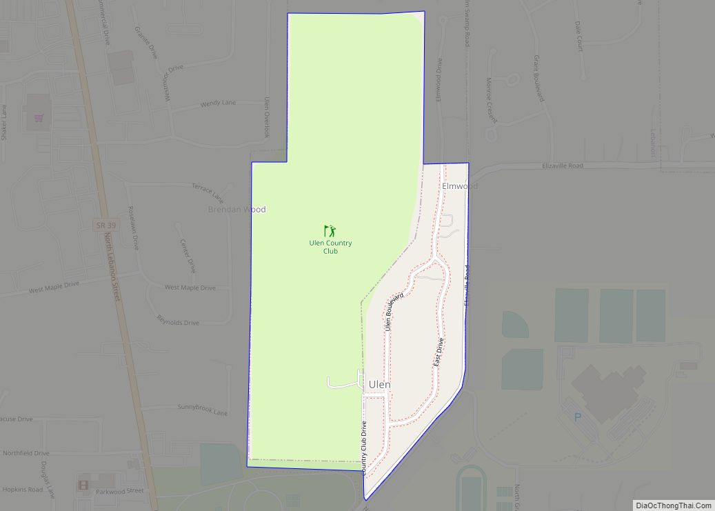
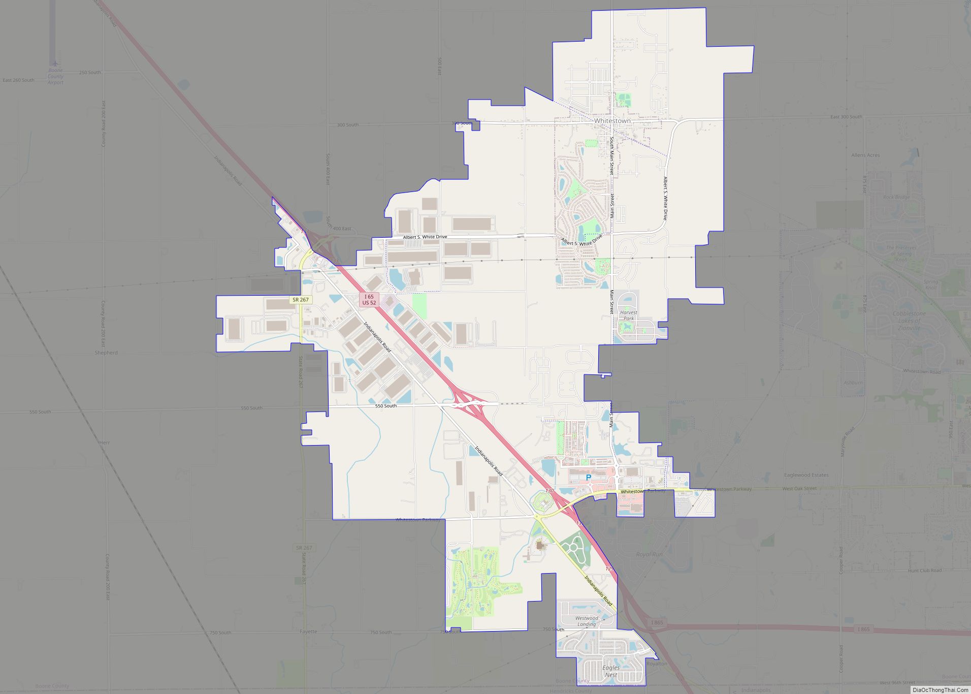
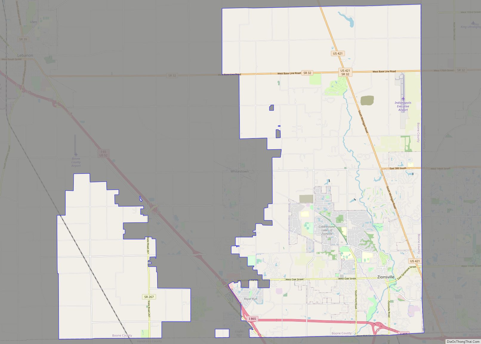
Online Interactive Map
Click on ![]() to view map in "full screen" mode.
to view map in "full screen" mode.
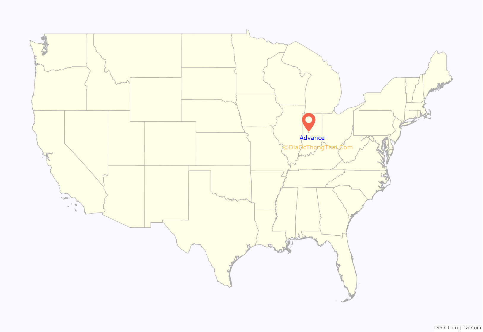
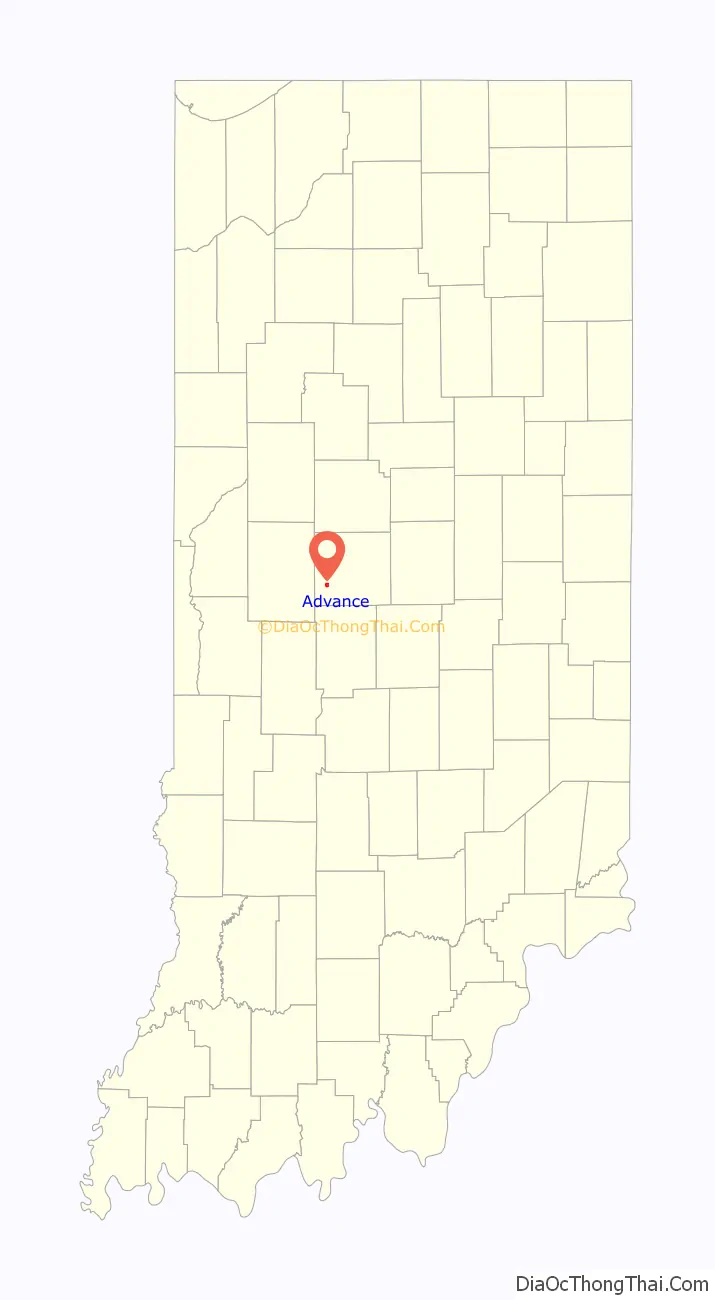
Advance location map. Where is Advance town?
History
The town was platted in 1820 and was originally called “Osceola;” however, there was already a town of that name in the state, and so the name of Advance was chosen “in anticipation of the advancement which the coming of the Midland Railway would bring to the community”. One of the few streets in town, Wall Street, was named after Joe Wall whose family owned over 2,000 acres (8.1 km) surrounding the town until 1971.
On May 13, 1995, a tornado struck the town of Advance, causing $2,000,000 worth of damage. This was part of a series of tornadoes that struck the Midwest.
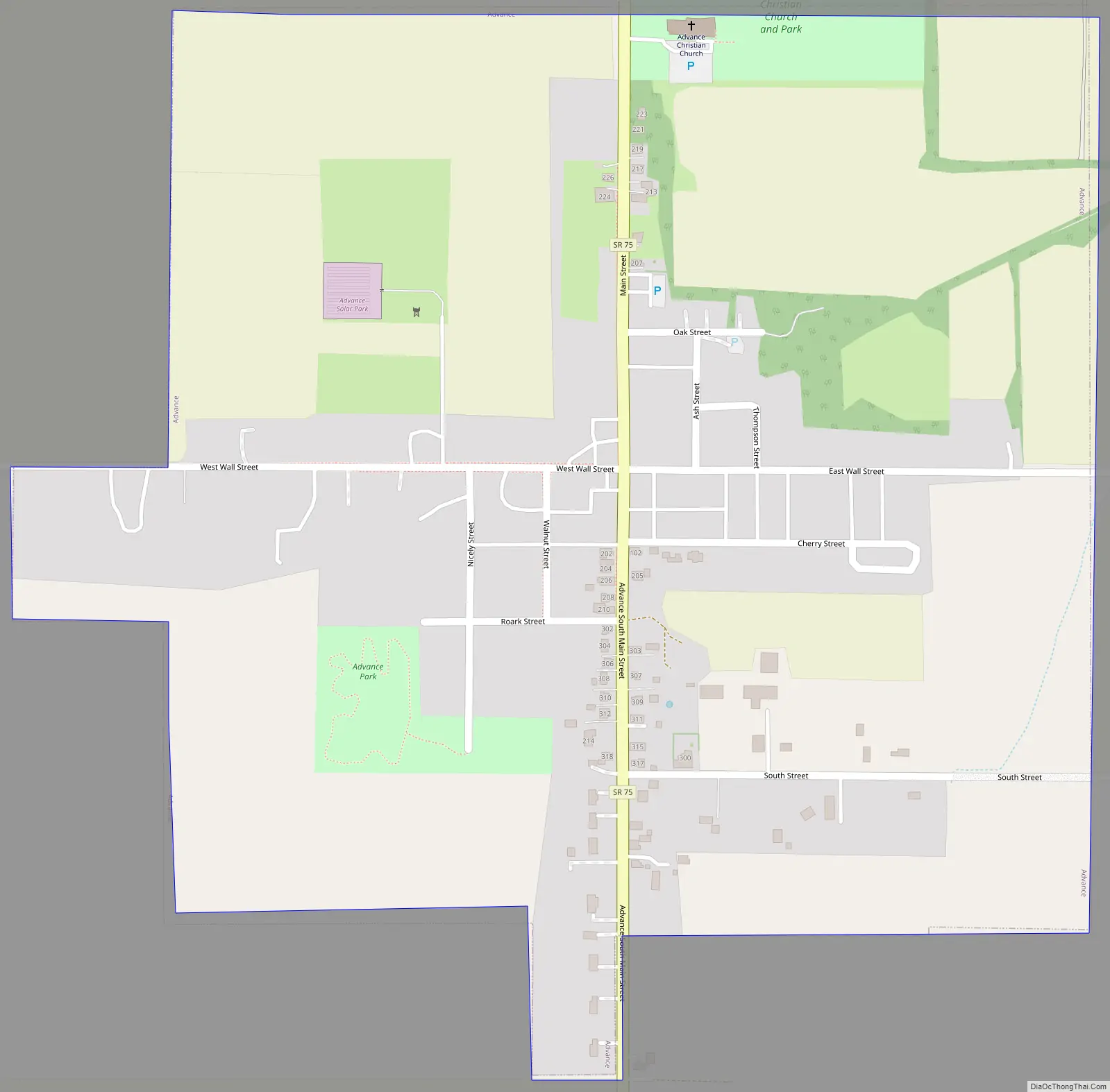
Advance Road Map
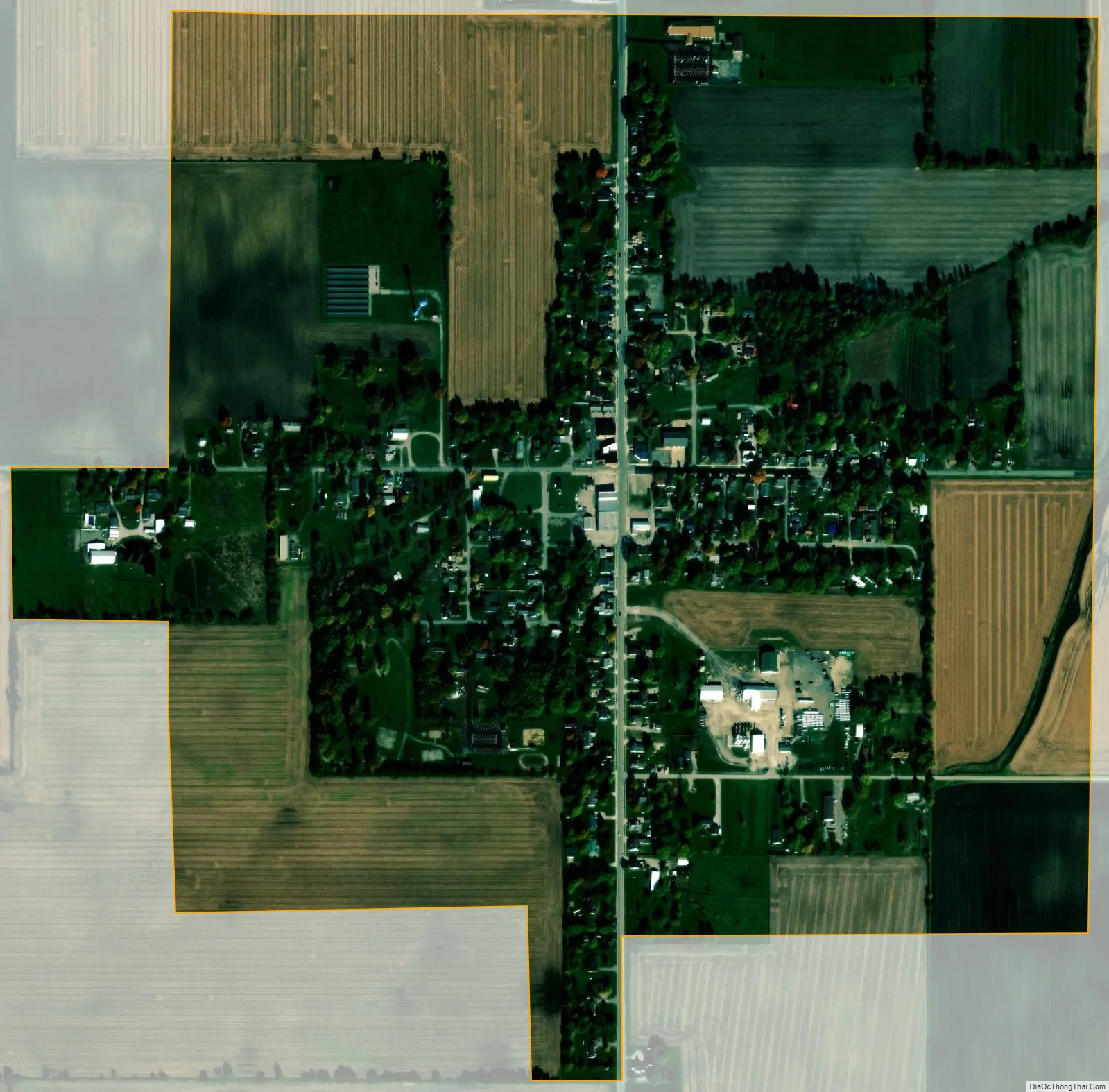
Advance city Satellite Map
Geography
Advance is located at 39°59′48″N 086°37′09″W / 39.99667°N 86.61917°W / 39.99667; -86.61917 (39.996577, -86.619289).
According to the 2010 census, Advance has a total area of 0.62 square miles (1.61 km), all land.
See also
Map of Indiana State and its subdivision:- Adams
- Allen
- Bartholomew
- Benton
- Blackford
- Boone
- Brown
- Carroll
- Cass
- Clark
- Clay
- Clinton
- Crawford
- Daviess
- De Kalb
- Dearborn
- Decatur
- Delaware
- Dubois
- Elkhart
- Fayette
- Floyd
- Fountain
- Franklin
- Fulton
- Gibson
- Grant
- Greene
- Hamilton
- Hancock
- Harrison
- Hendricks
- Henry
- Howard
- Huntington
- Jackson
- Jasper
- Jay
- Jefferson
- Jennings
- Johnson
- Knox
- Kosciusko
- LaGrange
- Lake
- Lake Michigan
- LaPorte
- Lawrence
- Madison
- Marion
- Marshall
- Martin
- Miami
- Monroe
- Montgomery
- Morgan
- Newton
- Noble
- Ohio
- Orange
- Owen
- Parke
- Perry
- Pike
- Porter
- Posey
- Pulaski
- Putnam
- Randolph
- Ripley
- Rush
- Saint Joseph
- Scott
- Shelby
- Spencer
- Starke
- Steuben
- Sullivan
- Switzerland
- Tippecanoe
- Tipton
- Union
- Vanderburgh
- Vermillion
- Vigo
- Wabash
- Warren
- Warrick
- Washington
- Wayne
- Wells
- White
- Whitley
- Alabama
- Alaska
- Arizona
- Arkansas
- California
- Colorado
- Connecticut
- Delaware
- District of Columbia
- Florida
- Georgia
- Hawaii
- Idaho
- Illinois
- Indiana
- Iowa
- Kansas
- Kentucky
- Louisiana
- Maine
- Maryland
- Massachusetts
- Michigan
- Minnesota
- Mississippi
- Missouri
- Montana
- Nebraska
- Nevada
- New Hampshire
- New Jersey
- New Mexico
- New York
- North Carolina
- North Dakota
- Ohio
- Oklahoma
- Oregon
- Pennsylvania
- Rhode Island
- South Carolina
- South Dakota
- Tennessee
- Texas
- Utah
- Vermont
- Virginia
- Washington
- West Virginia
- Wisconsin
- Wyoming