Zionsville is a suburban town located in the extreme southeast area of Boone County, Indiana, United States, northwest of Indianapolis. The population was 14,160 at the 2010 census, 30,693 at the 2020 census.
Zionsville promotes itself as a tourist attraction, centered on its village-styled downtown area. This area consists primarily of Main Street, paved entirely in brick, which is lined with small retail stores and restaurants.
| Name: | Zionsville town |
|---|---|
| LSAD Code: | 43 |
| LSAD Description: | town (suffix) |
| State: | Indiana |
| County: | Boone County |
| Elevation: | 843 ft (257 m) |
| Total Area: | 67.34 sq mi (174.41 km²) |
| Land Area: | 67.22 sq mi (174.09 km²) |
| Water Area: | 0.12 sq mi (0.32 km²) |
| Total Population: | 30,603 |
| Population Density: | 455.29/sq mi (175.79/km²) |
| ZIP code: | 46077 |
| Area code: | 317 |
| FIPS code: | 1886372 |
| GNISfeature ID: | 0446483 |
| Website: | zionsville-in.gov |
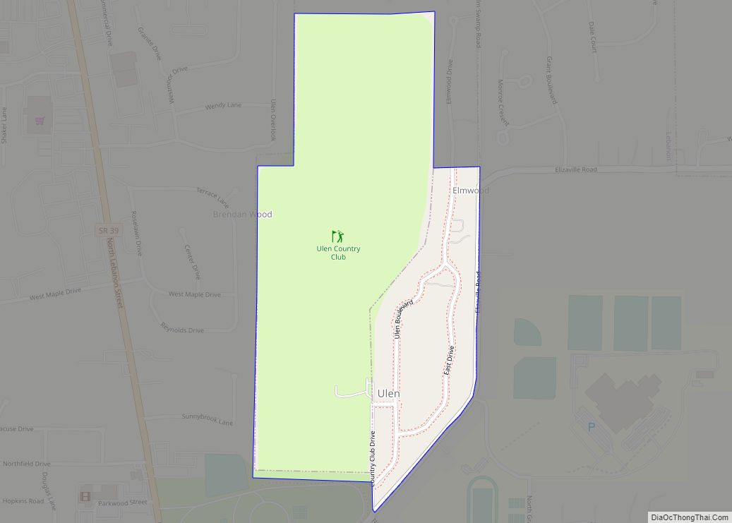
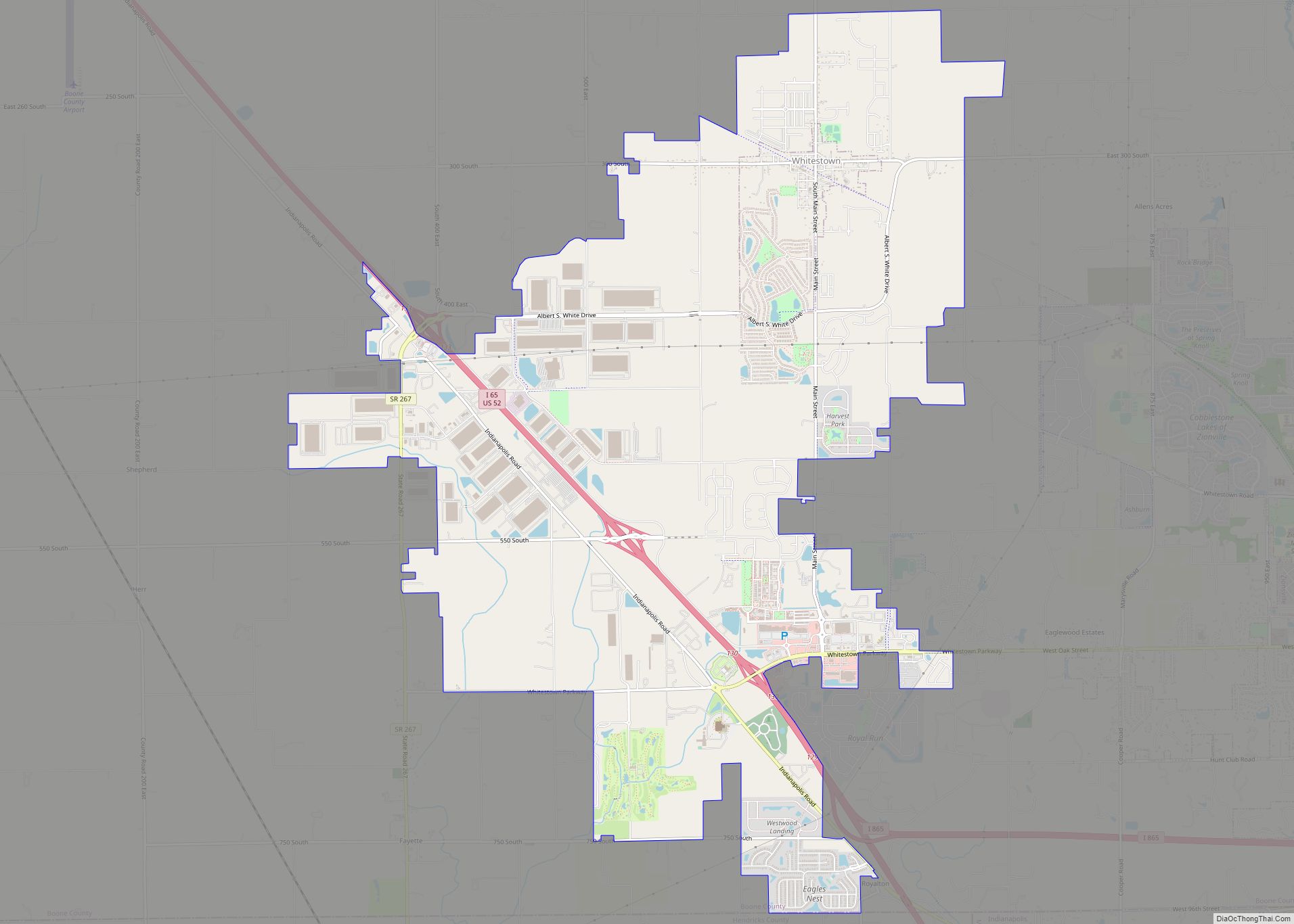
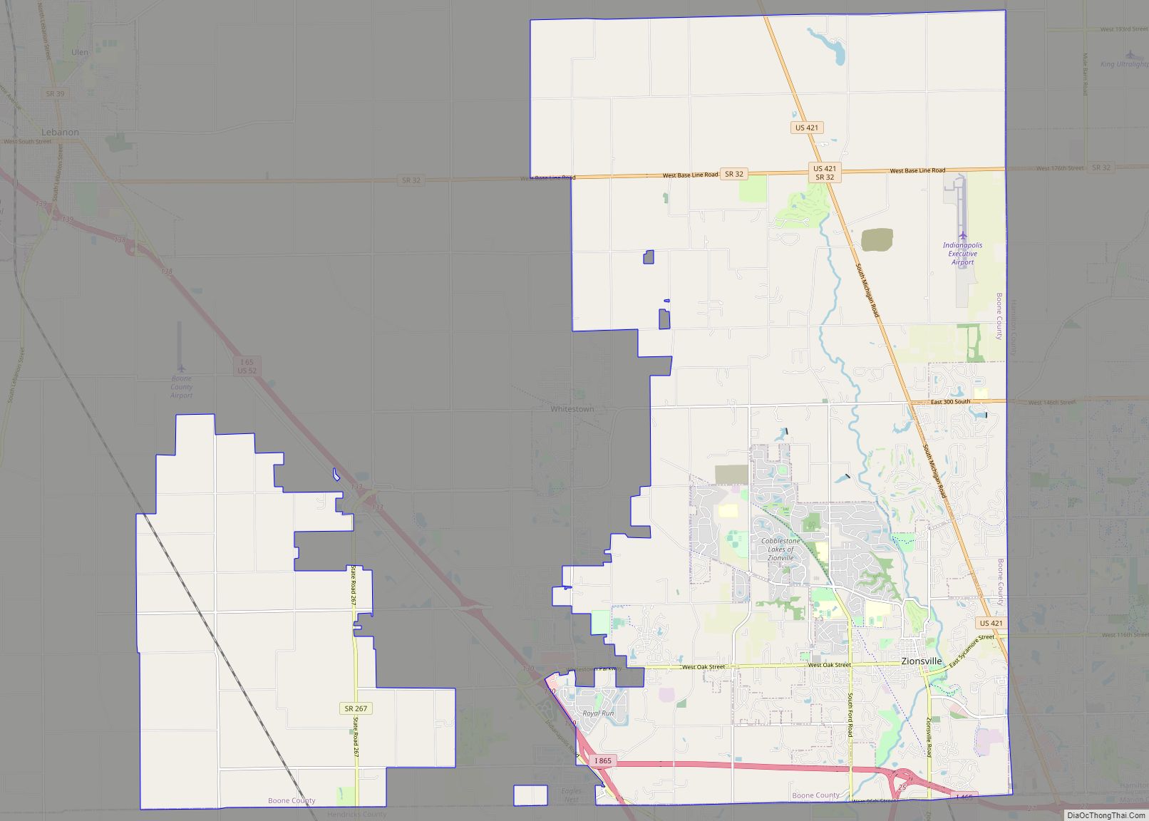
Online Interactive Map
Click on ![]() to view map in "full screen" mode.
to view map in "full screen" mode.
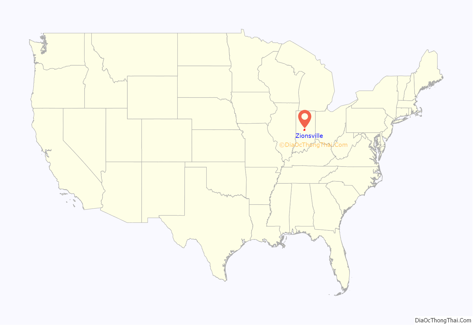
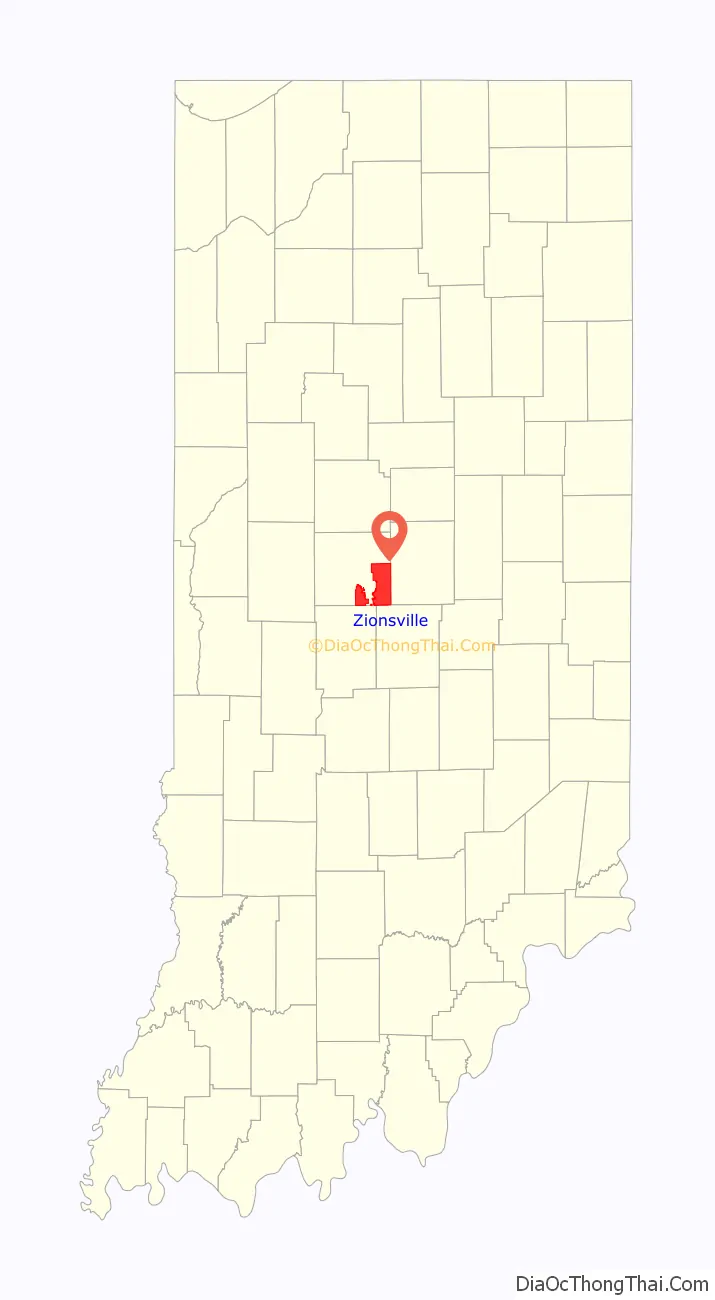
Zionsville location map. Where is Zionsville town?
History
Zionsville was laid out in 1852 when the railroad was extended to that point. It was named for William Zion, a pioneer settler.
Abraham Lincoln made a whistle-stop speech in Zionsville in 1861 when traveling to his inauguration.
Town Hall (Castle Hall) was listed on the National Register of Historic Places in 1983.
In the 1920s, the town was known as “The Dahlia City” due to the success of two nurseries in the area in growing the flower. Starting in 2019, the Zionsville Cultural District brought the name back to promote the city, in conjunction with giving away free flowers to grow and the painting of a mural.
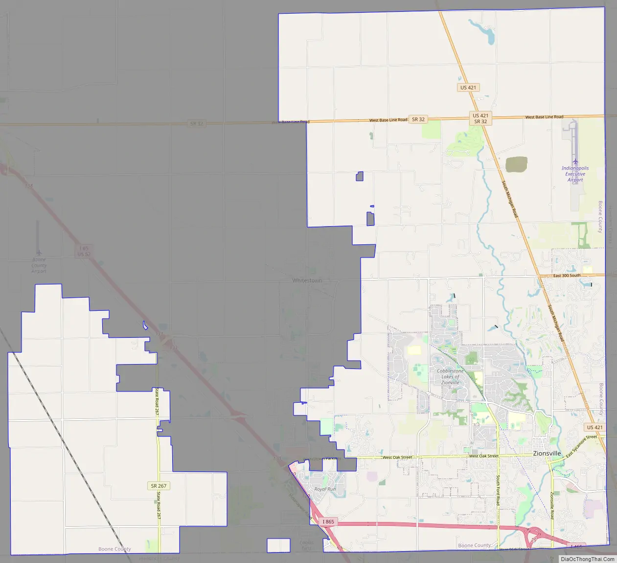
Zionsville Road Map
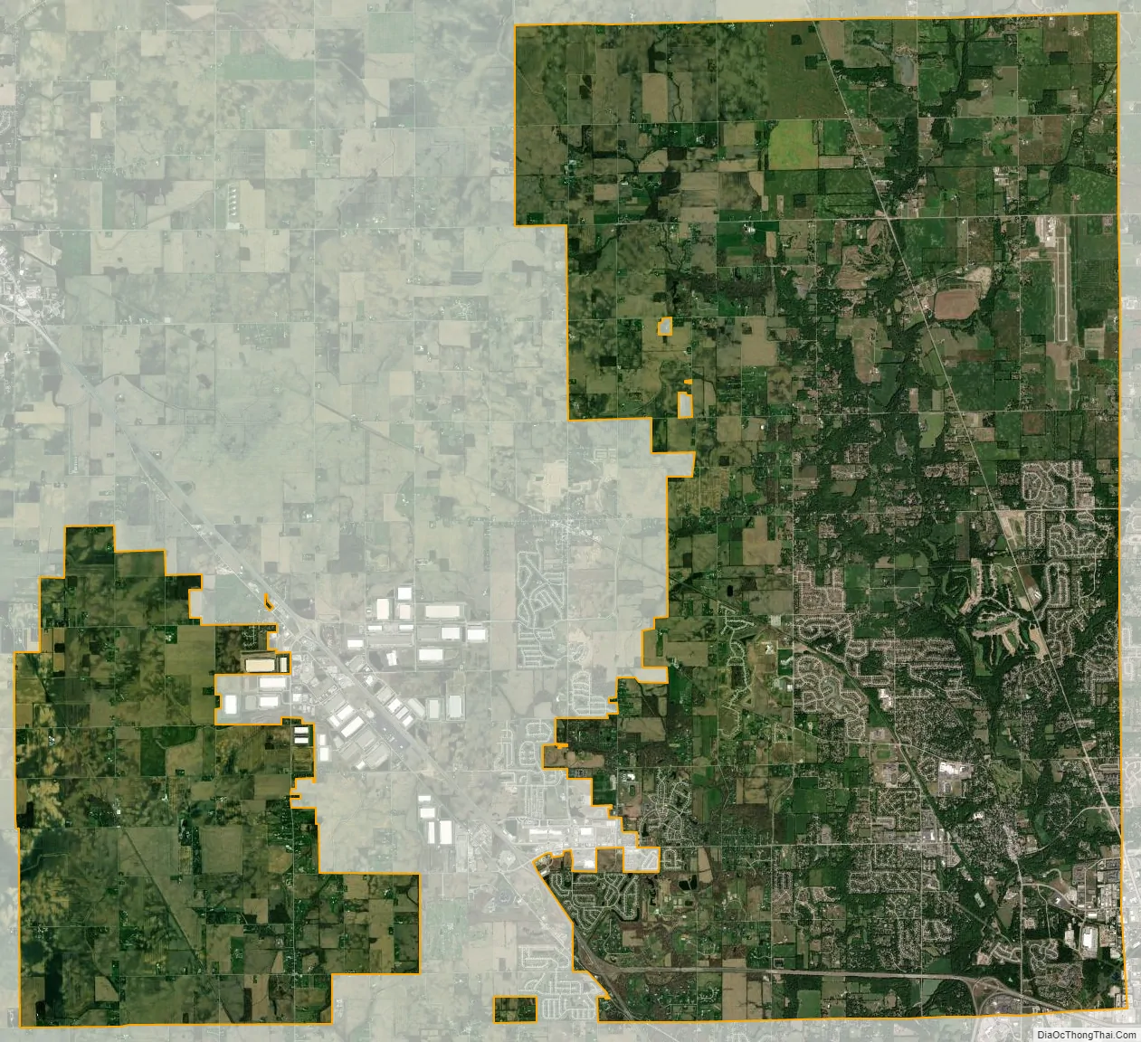
Zionsville city Satellite Map
Geography
Zionsville is located at 39°57′11″N 86°16′10″W / 39.95306°N 86.26944°W / 39.95306; -86.26944 (39.953092, -86.269462), approximately 15 miles (24 km) northwest of Downtown Indianapolis. According to the 2010 census, Zionsville has a total area of 10.298 square miles (26.67 km), of which 10.26 square miles (26.57 km) (or 99.63%) is land and 0.038 square miles (0.10 km) (or 0.37%) is water.
In 2010, Zionsville annexed 39.5 square miles (102.30 km) of land in Eagle and Union townships. This increased the area of the town to 49.7 square miles (128.72 km) and added 9,159 residents as of 2013. In 2014, Zionsville gained an additional 3.9 square miles (10.10 km) of area as a result of annexing portions of Perry Township, bringing the current area of the town to 53.63 square miles (138.90 km).
Climate
The climate in this area is characterized by hot, humid summers and cold winters. According to the Köppen Climate Classification system, Zionsville has a humid continental climate, abbreviated “Dfa” on climate maps. Its inclusion in this climatic type is because of its four distinct seasons, large ranges between high summer temperatures and low winter temperatures, and enough precipitation to exclude arid or semi-arid classification.
See also
Map of Indiana State and its subdivision:- Adams
- Allen
- Bartholomew
- Benton
- Blackford
- Boone
- Brown
- Carroll
- Cass
- Clark
- Clay
- Clinton
- Crawford
- Daviess
- De Kalb
- Dearborn
- Decatur
- Delaware
- Dubois
- Elkhart
- Fayette
- Floyd
- Fountain
- Franklin
- Fulton
- Gibson
- Grant
- Greene
- Hamilton
- Hancock
- Harrison
- Hendricks
- Henry
- Howard
- Huntington
- Jackson
- Jasper
- Jay
- Jefferson
- Jennings
- Johnson
- Knox
- Kosciusko
- LaGrange
- Lake
- Lake Michigan
- LaPorte
- Lawrence
- Madison
- Marion
- Marshall
- Martin
- Miami
- Monroe
- Montgomery
- Morgan
- Newton
- Noble
- Ohio
- Orange
- Owen
- Parke
- Perry
- Pike
- Porter
- Posey
- Pulaski
- Putnam
- Randolph
- Ripley
- Rush
- Saint Joseph
- Scott
- Shelby
- Spencer
- Starke
- Steuben
- Sullivan
- Switzerland
- Tippecanoe
- Tipton
- Union
- Vanderburgh
- Vermillion
- Vigo
- Wabash
- Warren
- Warrick
- Washington
- Wayne
- Wells
- White
- Whitley
- Alabama
- Alaska
- Arizona
- Arkansas
- California
- Colorado
- Connecticut
- Delaware
- District of Columbia
- Florida
- Georgia
- Hawaii
- Idaho
- Illinois
- Indiana
- Iowa
- Kansas
- Kentucky
- Louisiana
- Maine
- Maryland
- Massachusetts
- Michigan
- Minnesota
- Mississippi
- Missouri
- Montana
- Nebraska
- Nevada
- New Hampshire
- New Jersey
- New Mexico
- New York
- North Carolina
- North Dakota
- Ohio
- Oklahoma
- Oregon
- Pennsylvania
- Rhode Island
- South Carolina
- South Dakota
- Tennessee
- Texas
- Utah
- Vermont
- Virginia
- Washington
- West Virginia
- Wisconsin
- Wyoming