Bremen (/ˈbriːmən/ BREE-mən) is a town in German Township, Marshall County, Indiana, United States. The population was 4,696 at the 2020 census.
| Name: | Bremen town |
|---|---|
| LSAD Code: | 43 |
| LSAD Description: | town (suffix) |
| State: | Indiana |
| County: | Marshall County |
| Elevation: | 853 ft (260 m) |
| Total Area: | 2.84 sq mi (7.35 km²) |
| Land Area: | 2.83 sq mi (7.34 km²) |
| Water Area: | 0.00 sq mi (0.01 km²) |
| Total Population: | 4,696 |
| Population Density: | 1,657.02/sq mi (639.83/km²) |
| ZIP code: | 46506 |
| Area code: | 574 |
| FIPS code: | 1807318 |
| Website: | www.townofbremen.com |
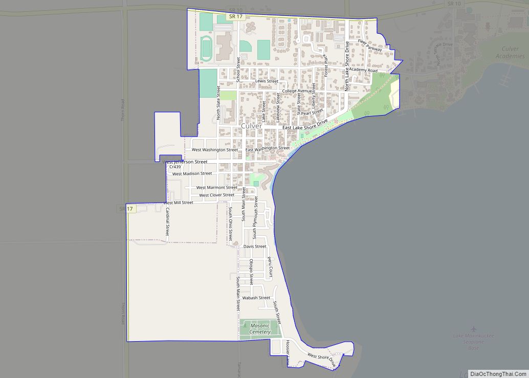
Online Interactive Map
Click on ![]() to view map in "full screen" mode.
to view map in "full screen" mode.
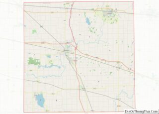
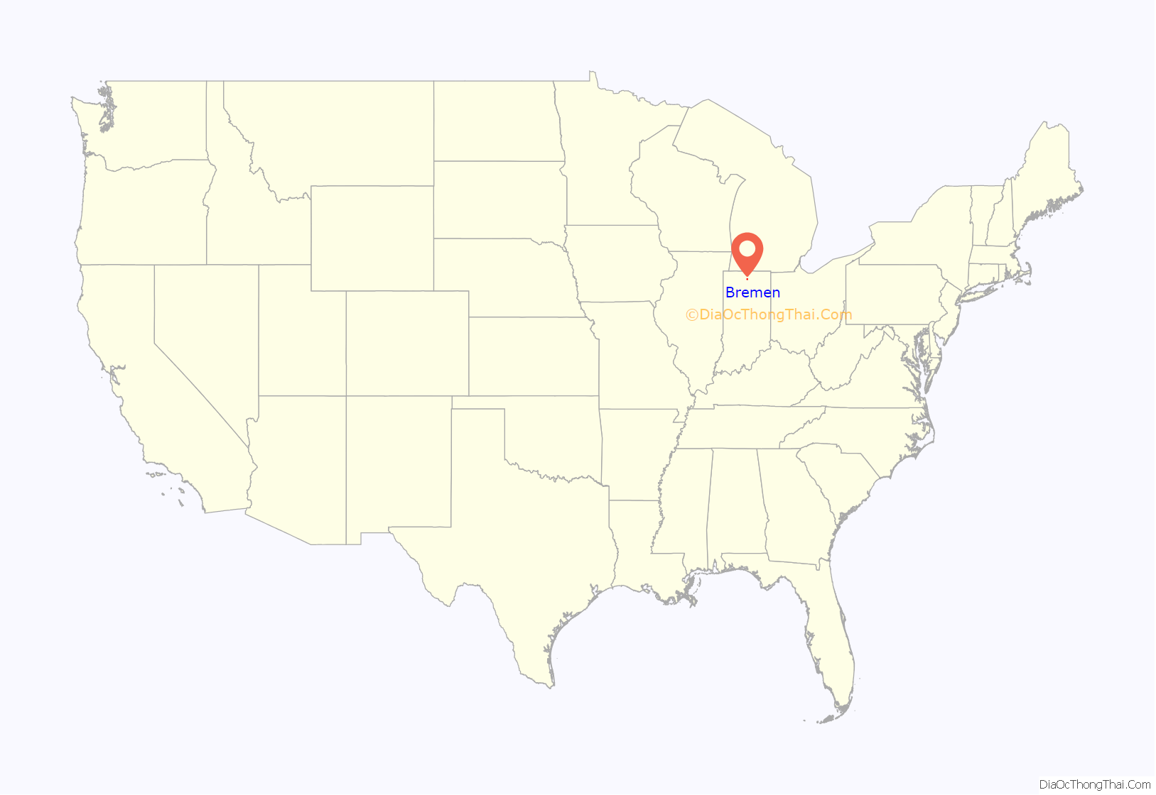
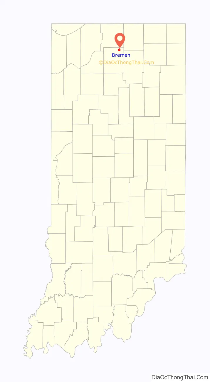
Bremen location map. Where is Bremen town?
History
Bremen was platted and laid out in 1851. A large portion of the early settlers being natives of Germany caused the name Bremen to be selected.
The Bremen Water Tower and Dietrich-Bowen House are listed on the National Register of Historic Places.
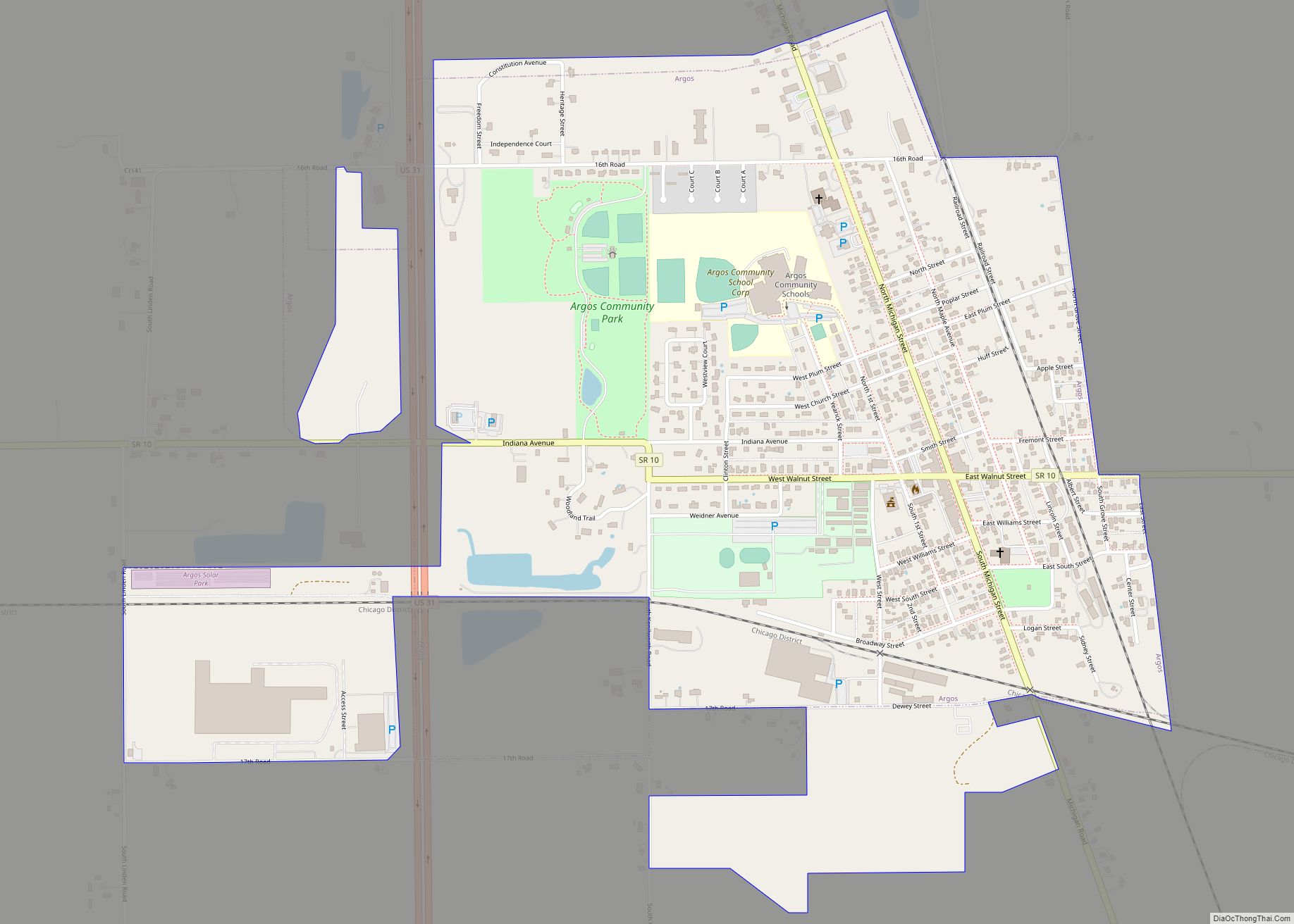
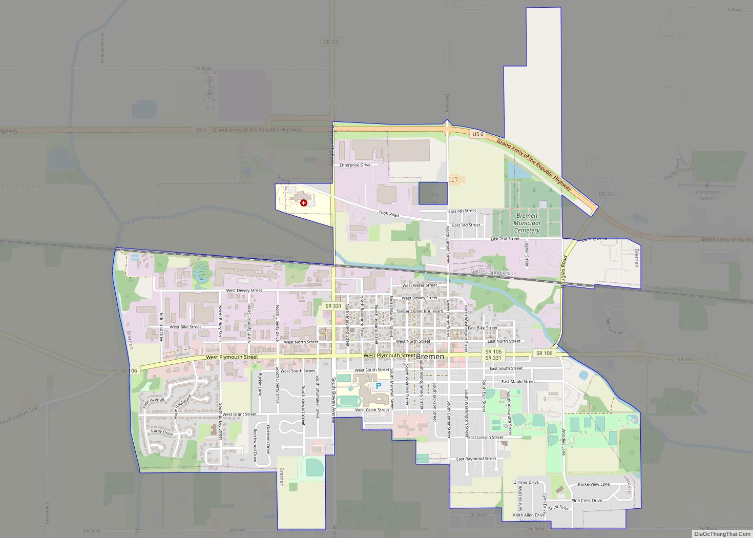
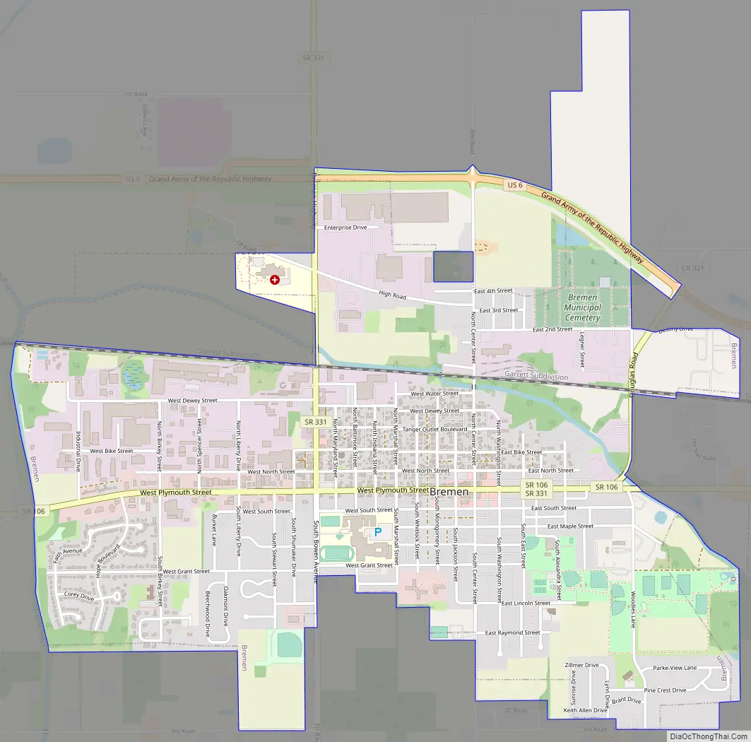
Bremen Road Map
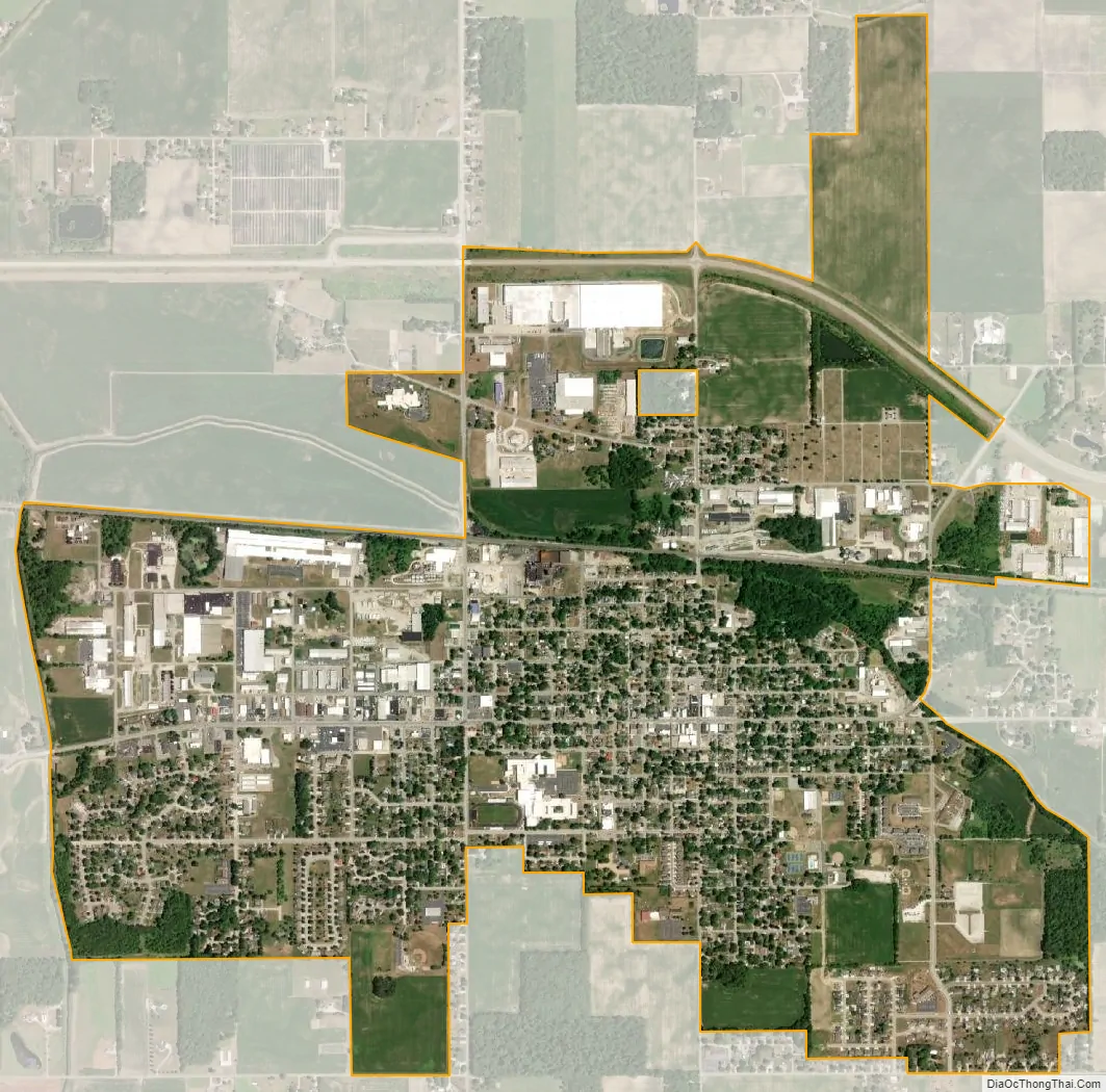
Bremen city Satellite Map
Geography
Bremen is located in northeastern Marshall County at 41°26′50″N 86°08′58″W / 41.447109°N 86.149342°W / 41.447109; -86.149342. It is at an elevation of 854 feet (260 m).
U.S. Route 6 passes through the north side of the town on a bypass; it leads east 8 miles (13 km) to Nappanee and west 18 miles (29 km) to Walkerton. Indiana State Road 331 passes through the center of Bremen on North Bowen Avenue and Plymouth Street; it leads north 15 miles (24 km) to Mishawaka and south 12 miles (19 km) to Bourbon. State Road 106 passes east to west through the center of Bremen on Plymouth Street and Douglas Road. Plymouth, the Marshall county seat, is 15 miles (24 km) to the southwest.
According to the U.S. Census Bureau, Bremen has a total area of 2.84 square miles (7.36 km), of which 0.004 square miles (0.010 km), or 0.14%, are water. The Yellow River, here near its headwaters, passes along the western edge of the town, flowing south and west toward the Kankakee River, part of the Illinois River watershed.
See also
Map of Indiana State and its subdivision:- Adams
- Allen
- Bartholomew
- Benton
- Blackford
- Boone
- Brown
- Carroll
- Cass
- Clark
- Clay
- Clinton
- Crawford
- Daviess
- De Kalb
- Dearborn
- Decatur
- Delaware
- Dubois
- Elkhart
- Fayette
- Floyd
- Fountain
- Franklin
- Fulton
- Gibson
- Grant
- Greene
- Hamilton
- Hancock
- Harrison
- Hendricks
- Henry
- Howard
- Huntington
- Jackson
- Jasper
- Jay
- Jefferson
- Jennings
- Johnson
- Knox
- Kosciusko
- LaGrange
- Lake
- Lake Michigan
- LaPorte
- Lawrence
- Madison
- Marion
- Marshall
- Martin
- Miami
- Monroe
- Montgomery
- Morgan
- Newton
- Noble
- Ohio
- Orange
- Owen
- Parke
- Perry
- Pike
- Porter
- Posey
- Pulaski
- Putnam
- Randolph
- Ripley
- Rush
- Saint Joseph
- Scott
- Shelby
- Spencer
- Starke
- Steuben
- Sullivan
- Switzerland
- Tippecanoe
- Tipton
- Union
- Vanderburgh
- Vermillion
- Vigo
- Wabash
- Warren
- Warrick
- Washington
- Wayne
- Wells
- White
- Whitley
- Alabama
- Alaska
- Arizona
- Arkansas
- California
- Colorado
- Connecticut
- Delaware
- District of Columbia
- Florida
- Georgia
- Hawaii
- Idaho
- Illinois
- Indiana
- Iowa
- Kansas
- Kentucky
- Louisiana
- Maine
- Maryland
- Massachusetts
- Michigan
- Minnesota
- Mississippi
- Missouri
- Montana
- Nebraska
- Nevada
- New Hampshire
- New Jersey
- New Mexico
- New York
- North Carolina
- North Dakota
- Ohio
- Oklahoma
- Oregon
- Pennsylvania
- Rhode Island
- South Carolina
- South Dakota
- Tennessee
- Texas
- Utah
- Vermont
- Virginia
- Washington
- West Virginia
- Wisconsin
- Wyoming