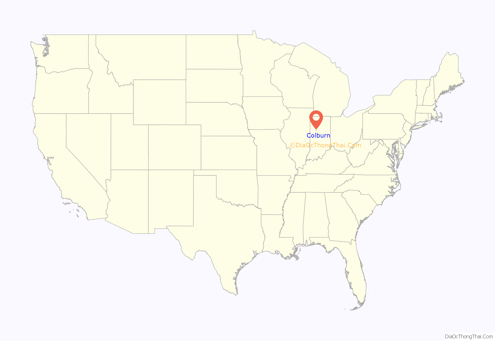
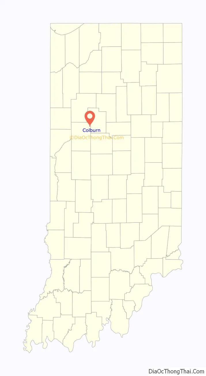
Colburn is a small unincorporated census-designated place in northeastern Washington Township, Tippecanoe County, in the U.S. state of Indiana.
It is part of the Lafayette, Indiana Metropolitan Statistical Area.
| Name: | Colburn CDP |
|---|---|
| LSAD Code: | 57 |
| LSAD Description: | CDP (suffix) |
| State: | Indiana |
| County: | Tippecanoe County |
| Founded: | 1858 |
| Elevation: | 663 ft (202 m) |
| Total Area: | 0.10 sq mi (0.26 km²) |
| Land Area: | 0.10 sq mi (0.26 km²) |
| Water Area: | 0.00 sq mi (0.00 km²) |
| Total Population: | 164 |
| Population Density: | 1,640.00/sq mi (632.23/km²) |
| Area code: | 765 |
| FIPS code: | 1814176 |
| GNISfeature ID: | 432745 |
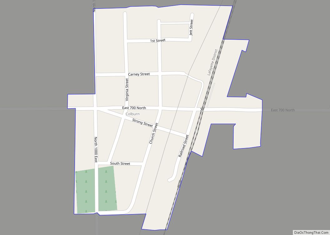
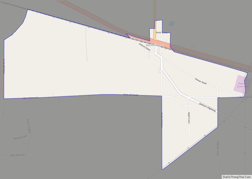
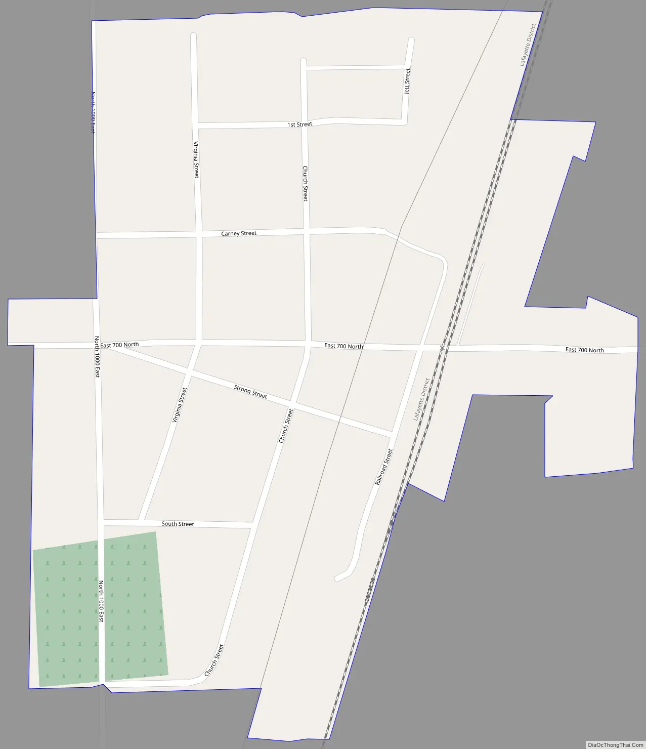
Online Interactive Map
Click on ![]() to view map in "full screen" mode.
to view map in "full screen" mode.
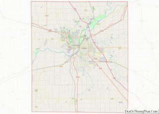
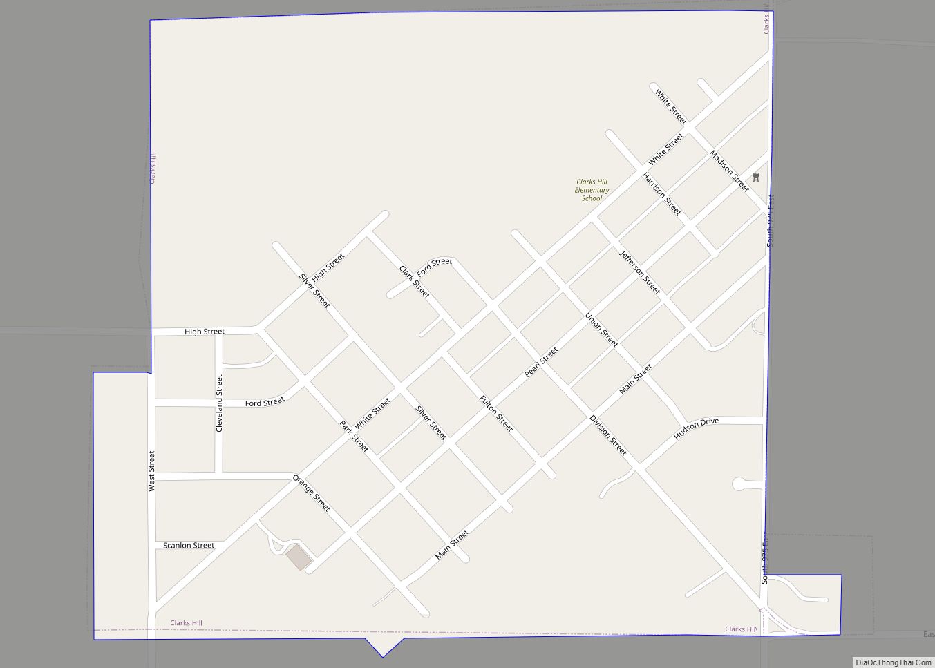
Colburn location map. Where is Colburn CDP?
History
Colburn was originally called Chapmanville.
A post office was established at Colburn in 1860, and remained in operation until it was discontinued in 1988.
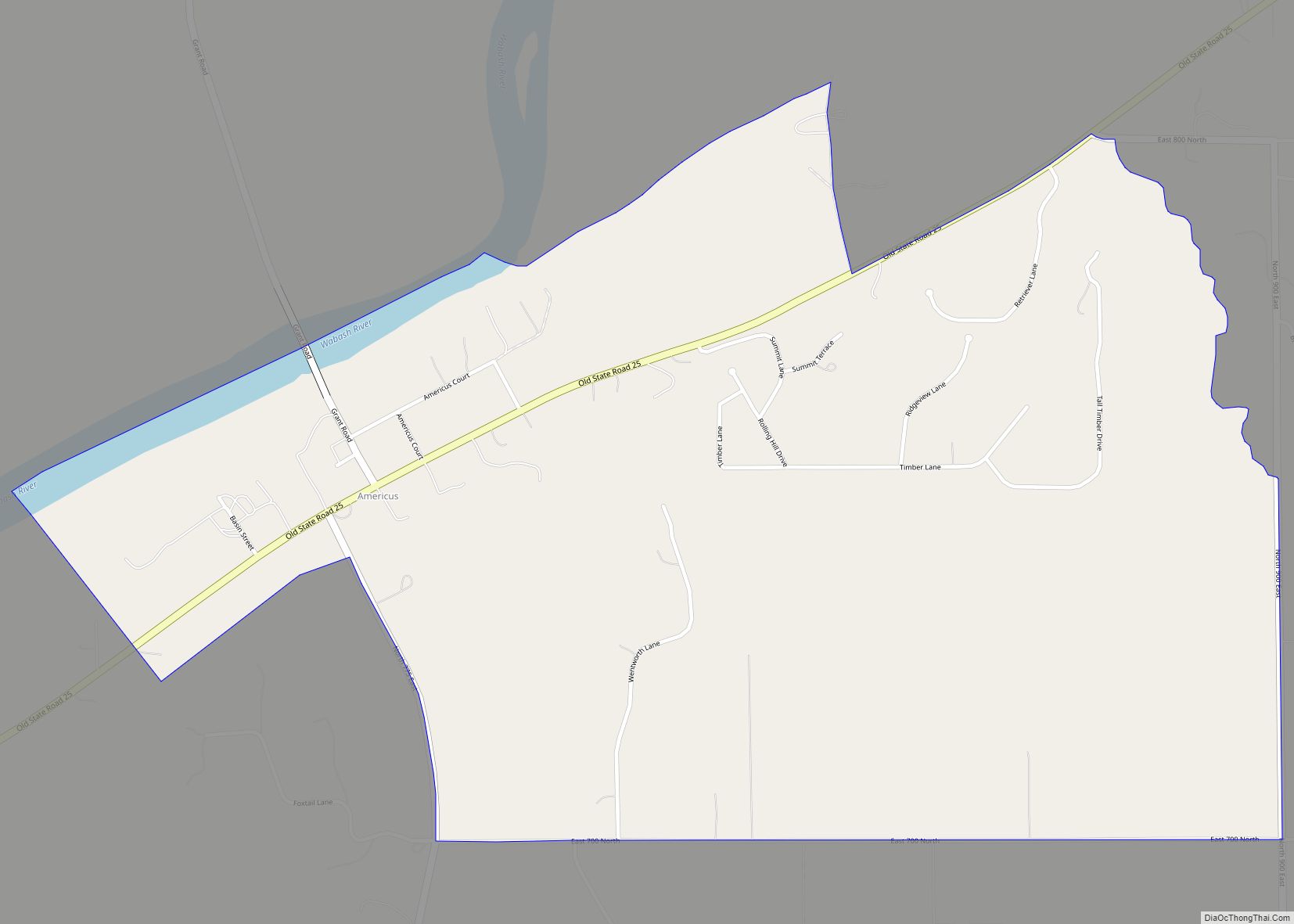
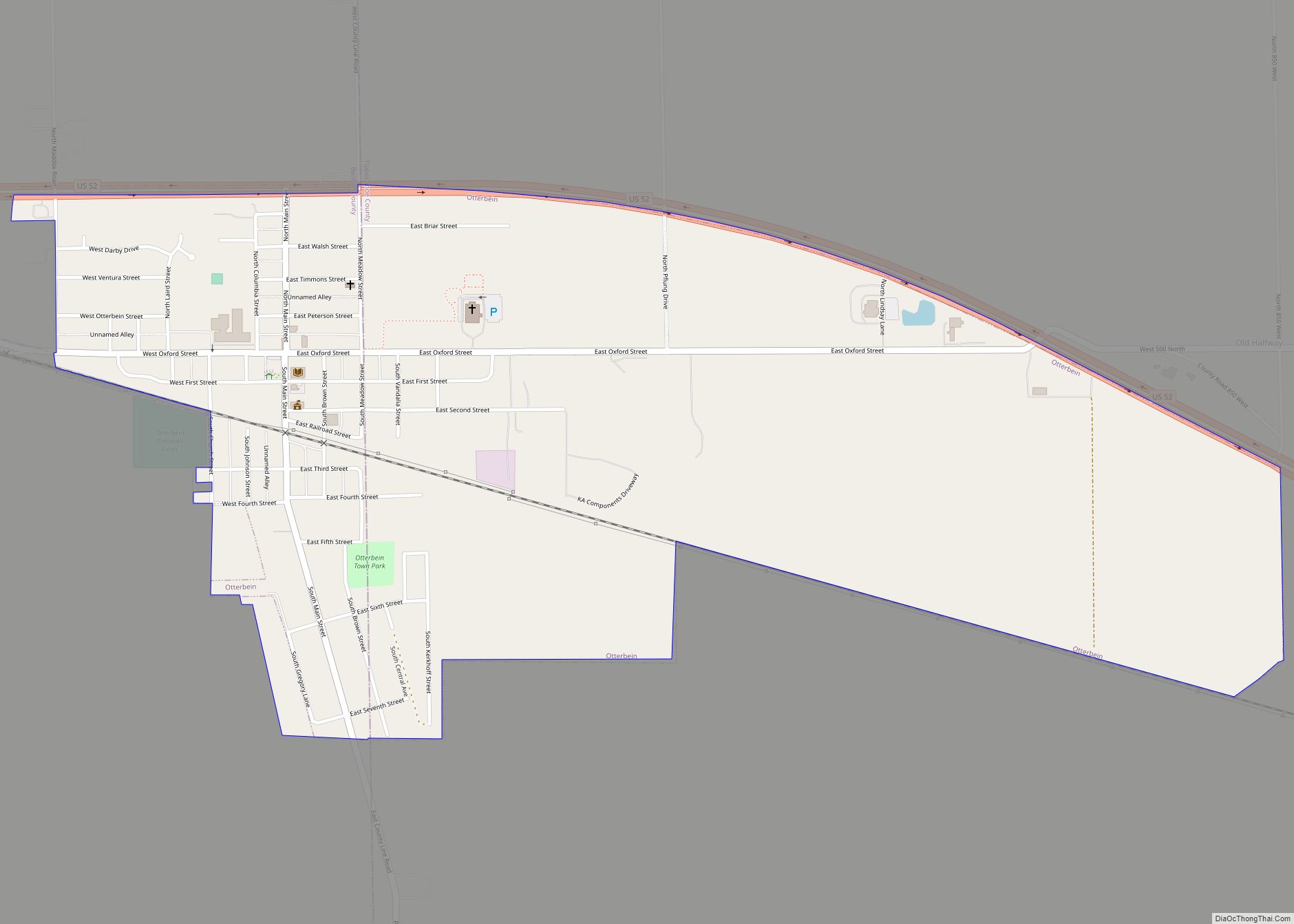
Colburn Road Map
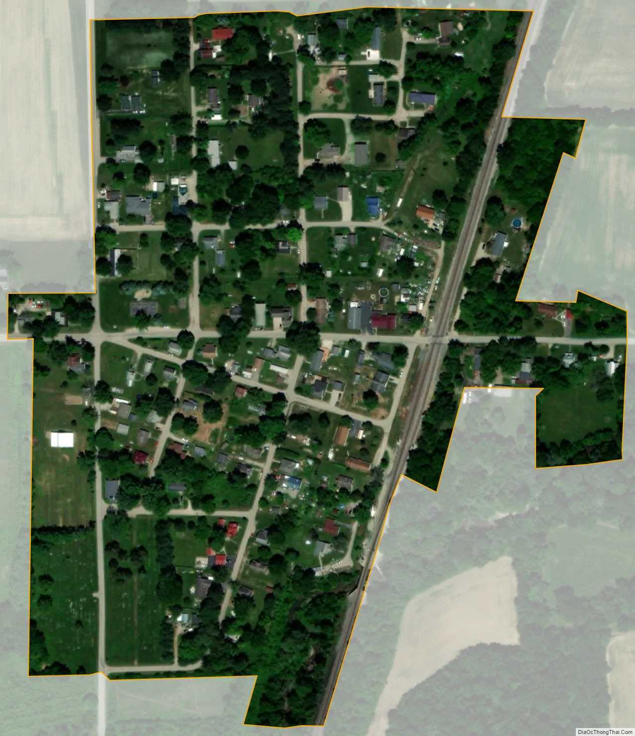
Colburn city Satellite Map
Geography
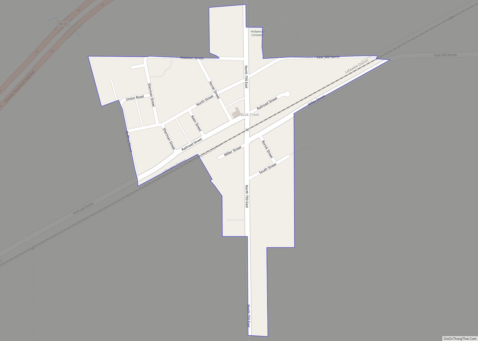
Colburn is located at 40°31’07” North, 86°42’51” West (40.518611, -86.714167) in Washington Township, at an elevation of 662 feet. Nearby communities include Lafayette (12 miles southwest), Delphi (6 miles north), Buck Creek (4 miles south) and Americus (3.5 miles west).
See also
Map of Indiana State and its subdivision:- Adams
- Allen
- Bartholomew
- Benton
- Blackford
- Boone
- Brown
- Carroll
- Cass
- Clark
- Clay
- Clinton
- Crawford
- Daviess
- De Kalb
- Dearborn
- Decatur
- Delaware
- Dubois
- Elkhart
- Fayette
- Floyd
- Fountain
- Franklin
- Fulton
- Gibson
- Grant
- Greene
- Hamilton
- Hancock
- Harrison
- Hendricks
- Henry
- Howard
- Huntington
- Jackson
- Jasper
- Jay
- Jefferson
- Jennings
- Johnson
- Knox
- Kosciusko
- LaGrange
- Lake
- Lake Michigan
- LaPorte
- Lawrence
- Madison
- Marion
- Marshall
- Martin
- Miami
- Monroe
- Montgomery
- Morgan
- Newton
- Noble
- Ohio
- Orange
- Owen
- Parke
- Perry
- Pike
- Porter
- Posey
- Pulaski
- Putnam
- Randolph
- Ripley
- Rush
- Saint Joseph
- Scott
- Shelby
- Spencer
- Starke
- Steuben
- Sullivan
- Switzerland
- Tippecanoe
- Tipton
- Union
- Vanderburgh
- Vermillion
- Vigo
- Wabash
- Warren
- Warrick
- Washington
- Wayne
- Wells
- White
- Whitley
- Alabama
- Alaska
- Arizona
- Arkansas
- California
- Colorado
- Connecticut
- Delaware
- District of Columbia
- Florida
- Georgia
- Hawaii
- Idaho
- Illinois
- Indiana
- Iowa
- Kansas
- Kentucky
- Louisiana
- Maine
- Maryland
- Massachusetts
- Michigan
- Minnesota
- Mississippi
- Missouri
- Montana
- Nebraska
- Nevada
- New Hampshire
- New Jersey
- New Mexico
- New York
- North Carolina
- North Dakota
- Ohio
- Oklahoma
- Oregon
- Pennsylvania
- Rhode Island
- South Carolina
- South Dakota
- Tennessee
- Texas
- Utah
- Vermont
- Virginia
- Washington
- West Virginia
- Wisconsin
- Wyoming