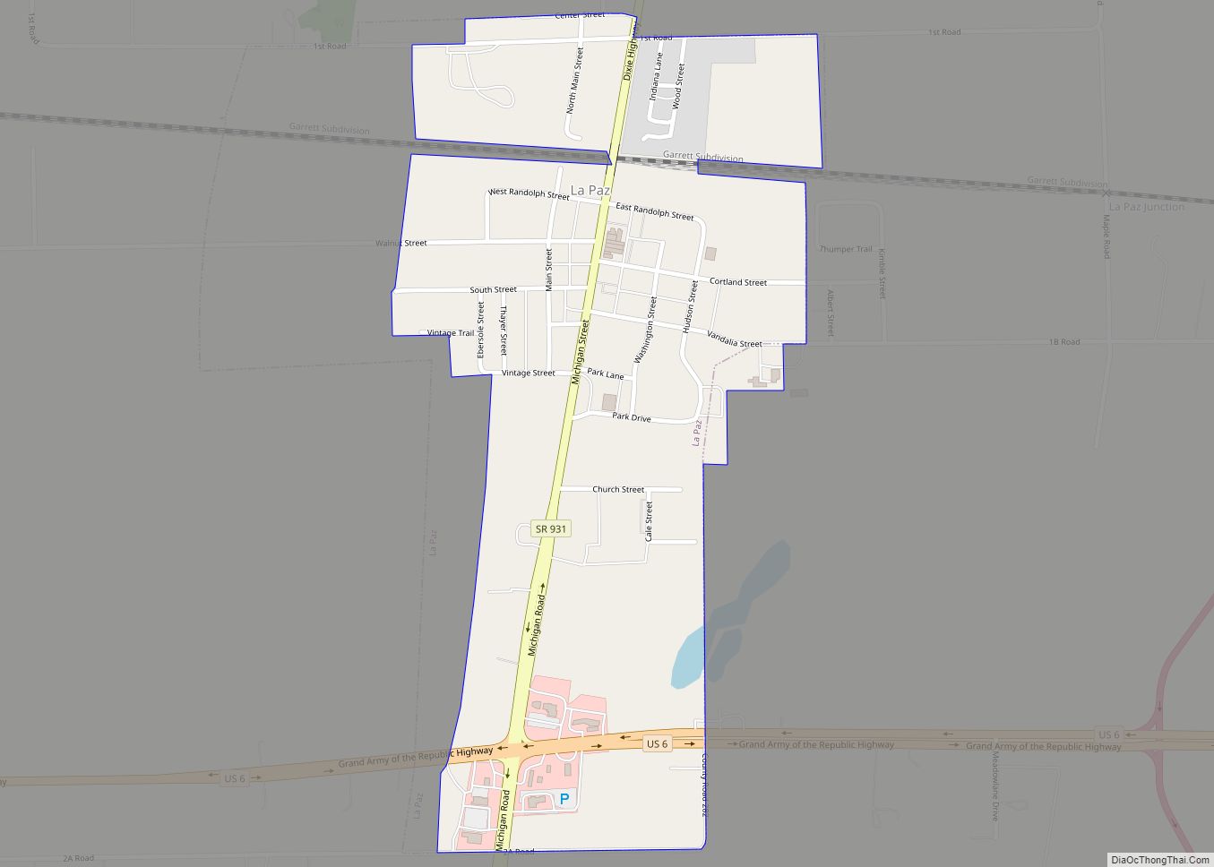
LaPaz is a town in North Township, Marshall County, Indiana, United States. The population was 475 at the 2020 census, down from 561 in 2010.
| Name: | La Paz town |
|---|---|
| LSAD Code: | 43 |
| LSAD Description: | town (suffix) |
| State: | Indiana |
| County: | Marshall County |
| Elevation: | 863 ft (263 m) |
| Total Area: | 0.39 sq mi (1.00 km²) |
| Land Area: | 0.39 sq mi (1.00 km²) |
| Water Area: | 0.00 sq mi (0.00 km²) |
| Total Population: | 475 |
| Population Density: | 1,224.23/sq mi (472.85/km²) |
| ZIP code: | 46537 |
| Area code: | 574 |
| FIPS code: | 1842192 |
| GNISfeature ID: | 437489 |
| Website: | www.lapazindiana.com |
Online Interactive Map
Click on ![]() to view map in "full screen" mode.
to view map in "full screen" mode.
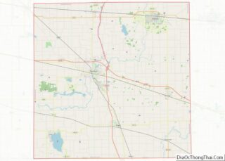
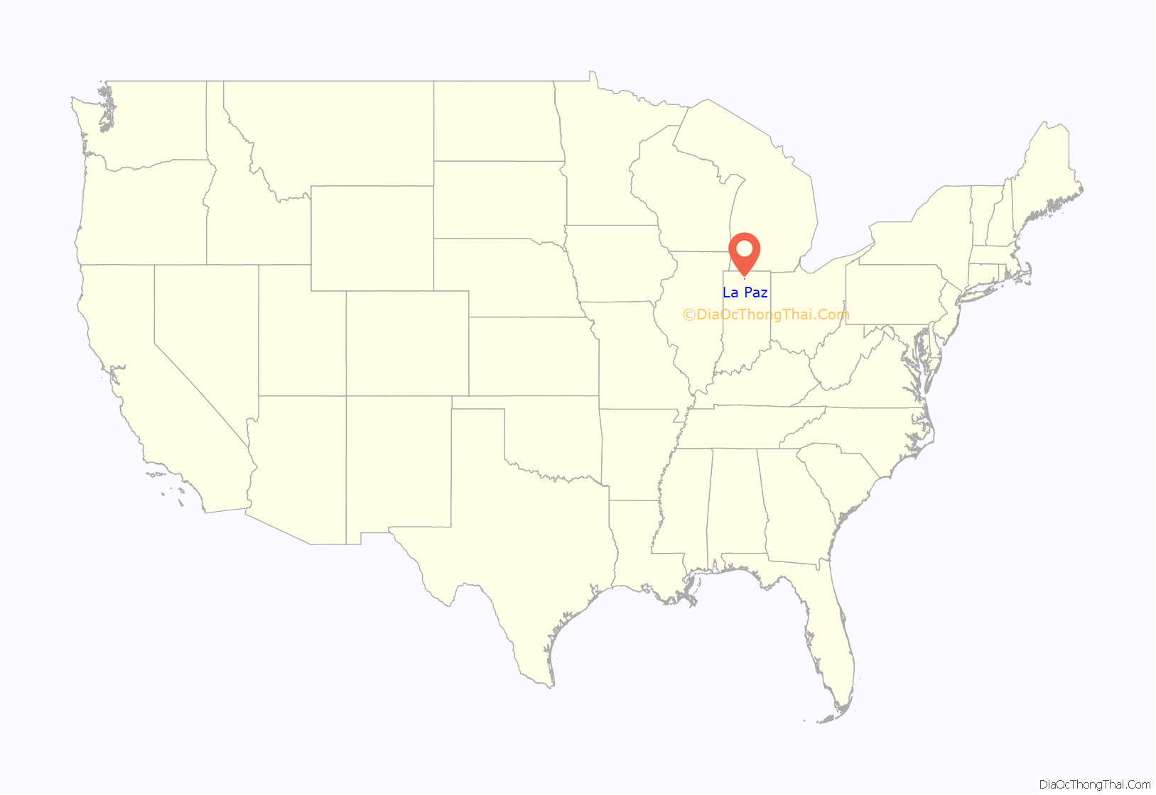
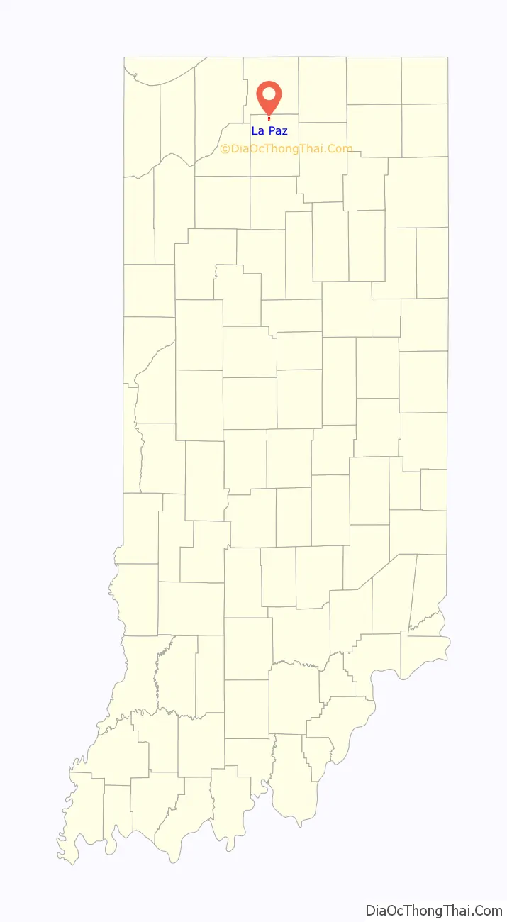
La Paz location map. Where is La Paz town?
History
The town was founded in 1873 and was named for La Paz, Bolivia. At the time of its founding, it was served by the Chicago branch of the Baltimore and Ohio Railroad, now CSX. The B&O named a coach La Paz in 1949 to honor the town.
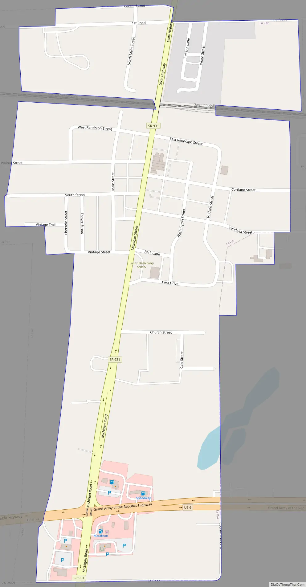
La Paz Road Map
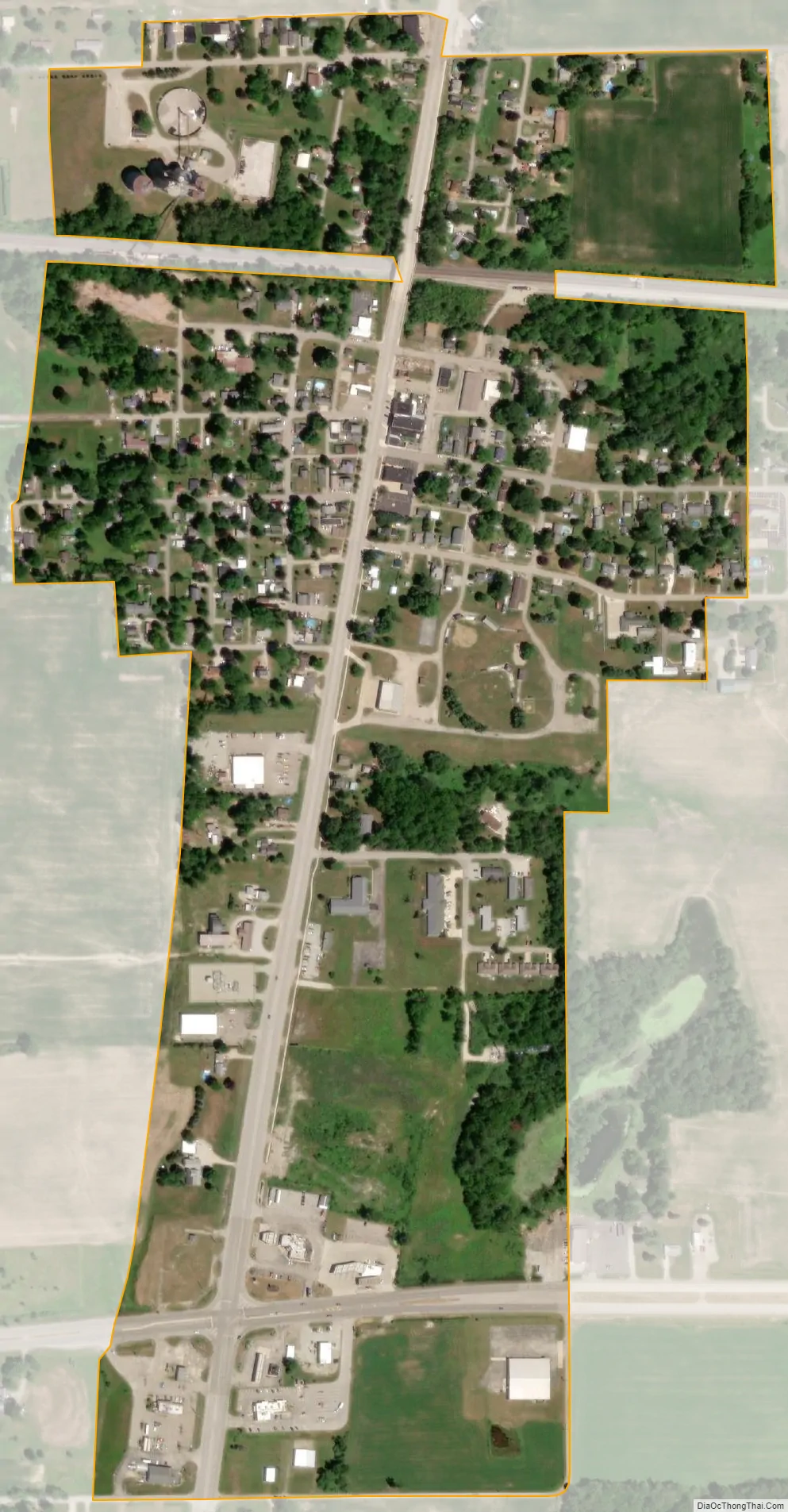
La Paz city Satellite Map
Geography
LaPaz is located in northern Marshall County at 41°27′26″N 86°18′29″W / 41.457159°N 86.308131°W / 41.457159; -86.308131. It is located on former U.S. Route 31 (now Indiana State Road 931), just to the north of where it intersects with U.S. Route 6. US 31 passes 1 mile (1.6 km) east of the town on a four-lane freeway, leading north 17 miles (27 km) to South Bend. Plymouth, the Marshall county seat, is 8 miles (13 km) to the south. US 6 leads east 8 miles (13 km) to Bremen and west 10 miles (16 km) to Walkerton.
According to the U.S. Census Bureau, La Paz has a total area of 0.39 square miles (1.01 km), all land. The town sits on a low rise separating land draining west toward Pine Creek and land draining east toward the Yellow River; both waterways are west-flowing tributaries of the Kankakee River and part of the Illinois River watershed.
See also
Map of Indiana State and its subdivision:- Adams
- Allen
- Bartholomew
- Benton
- Blackford
- Boone
- Brown
- Carroll
- Cass
- Clark
- Clay
- Clinton
- Crawford
- Daviess
- De Kalb
- Dearborn
- Decatur
- Delaware
- Dubois
- Elkhart
- Fayette
- Floyd
- Fountain
- Franklin
- Fulton
- Gibson
- Grant
- Greene
- Hamilton
- Hancock
- Harrison
- Hendricks
- Henry
- Howard
- Huntington
- Jackson
- Jasper
- Jay
- Jefferson
- Jennings
- Johnson
- Knox
- Kosciusko
- LaGrange
- Lake
- Lake Michigan
- LaPorte
- Lawrence
- Madison
- Marion
- Marshall
- Martin
- Miami
- Monroe
- Montgomery
- Morgan
- Newton
- Noble
- Ohio
- Orange
- Owen
- Parke
- Perry
- Pike
- Porter
- Posey
- Pulaski
- Putnam
- Randolph
- Ripley
- Rush
- Saint Joseph
- Scott
- Shelby
- Spencer
- Starke
- Steuben
- Sullivan
- Switzerland
- Tippecanoe
- Tipton
- Union
- Vanderburgh
- Vermillion
- Vigo
- Wabash
- Warren
- Warrick
- Washington
- Wayne
- Wells
- White
- Whitley
- Alabama
- Alaska
- Arizona
- Arkansas
- California
- Colorado
- Connecticut
- Delaware
- District of Columbia
- Florida
- Georgia
- Hawaii
- Idaho
- Illinois
- Indiana
- Iowa
- Kansas
- Kentucky
- Louisiana
- Maine
- Maryland
- Massachusetts
- Michigan
- Minnesota
- Mississippi
- Missouri
- Montana
- Nebraska
- Nevada
- New Hampshire
- New Jersey
- New Mexico
- New York
- North Carolina
- North Dakota
- Ohio
- Oklahoma
- Oregon
- Pennsylvania
- Rhode Island
- South Carolina
- South Dakota
- Tennessee
- Texas
- Utah
- Vermont
- Virginia
- Washington
- West Virginia
- Wisconsin
- Wyoming