New Castle is a home rule-class city in Henry County, Kentucky, in the United States. It is the seat of its county. As of the 2010 census the population was 912.
| Name: | New Castle city |
|---|---|
| LSAD Code: | 25 |
| LSAD Description: | city (suffix) |
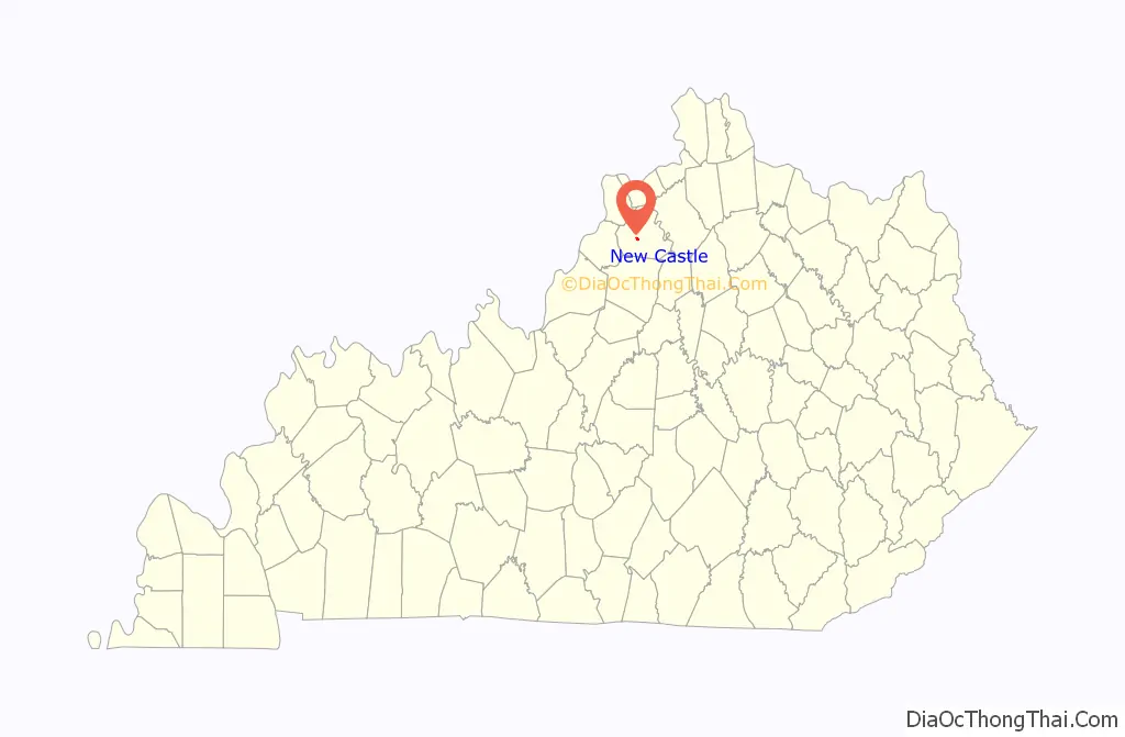
| State: | Kentucky |
| County: | Henry County |
| Incorporated: | 1851 |
| Elevation: | 833 ft (254 m) |
| Total Area: | 0.41 sq mi (1.07 km²) |
| Land Area: | 0.41 sq mi (1.06 km²) |
| Water Area: | 0.00 sq mi (0.01 km²) |
| Total Population: | 884 |
| Population Density: | 2,156.10/sq mi (832.94/km²) |
| ZIP code: | 40050 |
| Area code: | 502 |
| FIPS code: | 2155596 |
| GNISfeature ID: | 0499296 |
| Website: | www.newcastleky.com |
Online Interactive Map
Click on ![]() to view map in "full screen" mode.
to view map in "full screen" mode.
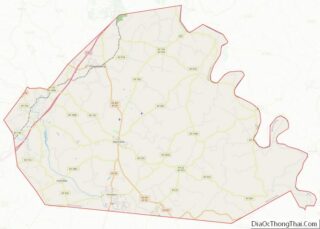
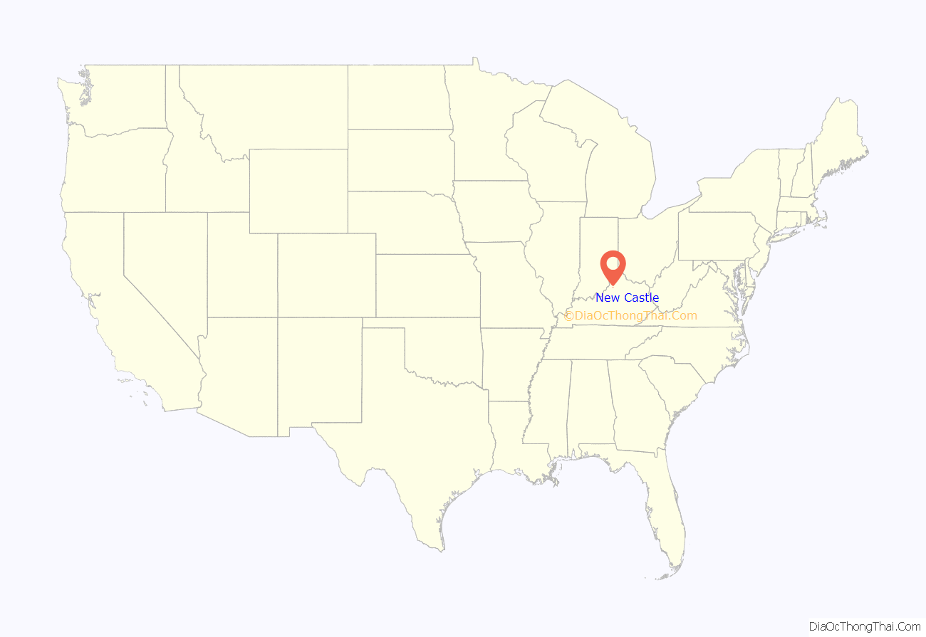
New Castle location map. Where is New Castle city?
History
New Castle was incorporated in 1817.
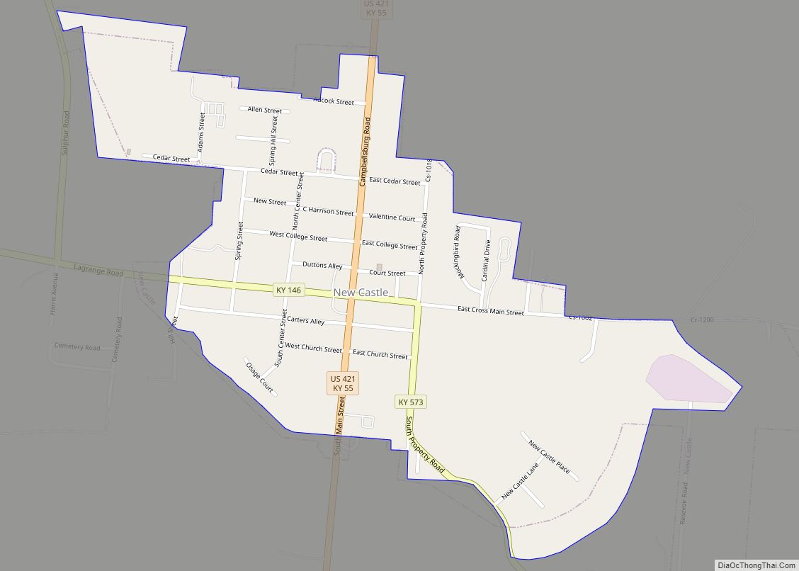
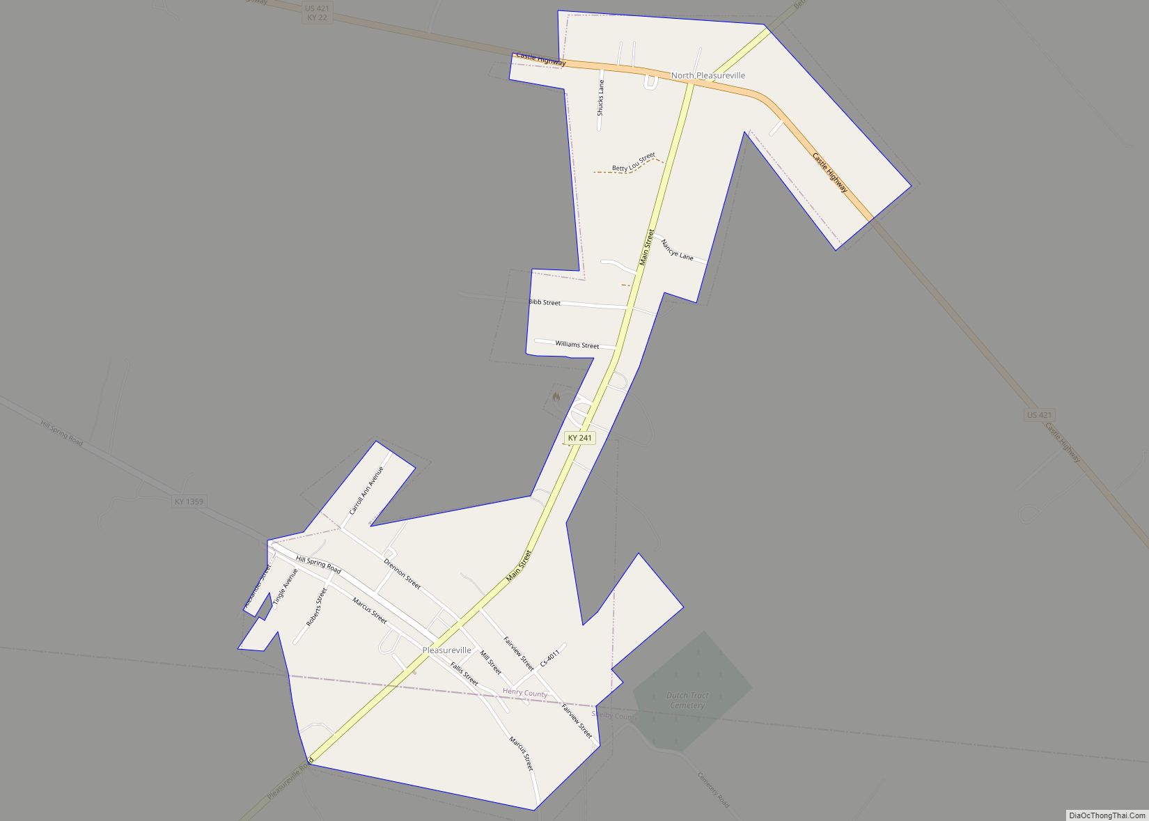
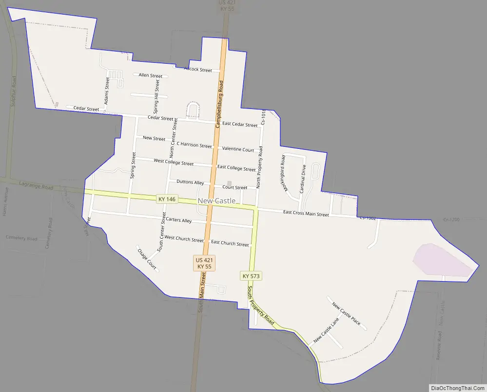
New Castle Road Map
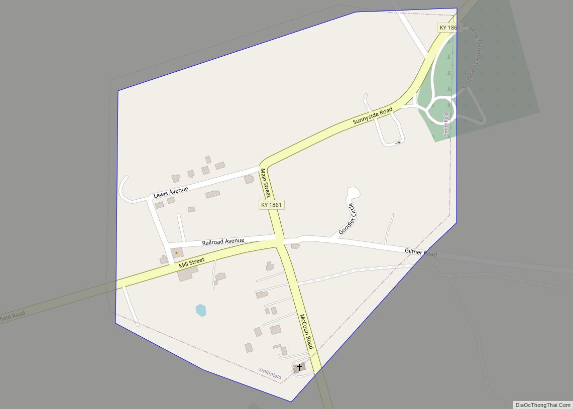
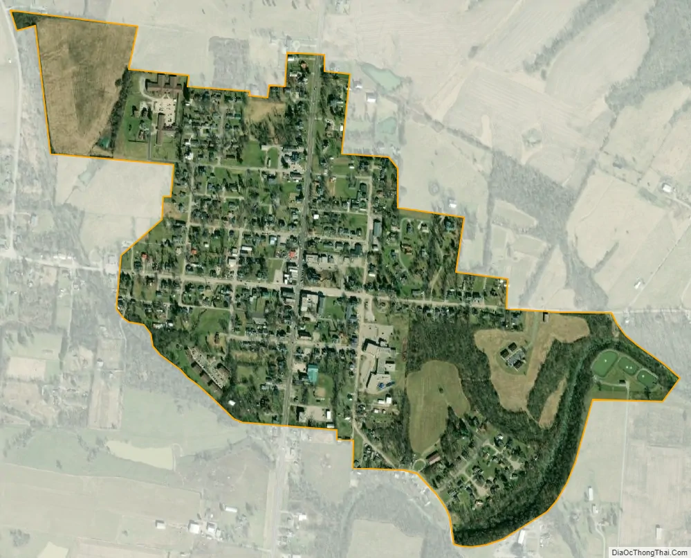
New Castle city Satellite Map
Geography
New Castle is located southwest of the center of Henry County at 38°26′1″N 85°10′10″W / 38.43361°N 85.16944°W / 38.43361; -85.16944 (38.433645, -85.169345). U.S. Route 421 follows Main Street and leads north 7 miles (11 km) to Campbellsburg and southeast 29 miles (47 km) to Frankfort. Louisville is 38 miles (61 km) to the southwest via Kentucky Route 146 and Interstate 71.
According to the United States Census Bureau, New Castle has a total area of 0.42 square miles (1.1 km), of which 0.004 square miles (0.01 km), or 1.04%, is water.
See also
Map of Kentucky State and its subdivision:- Adair
- Allen
- Anderson
- Ballard
- Barren
- Bath
- Bell
- Boone
- Bourbon
- Boyd
- Boyle
- Bracken
- Breathitt
- Breckinridge
- Bullitt
- Butler
- Caldwell
- Calloway
- Campbell
- Carlisle
- Carroll
- Carter
- Casey
- Christian
- Clark
- Clay
- Clinton
- Crittenden
- Cumberland
- Daviess
- Edmonson
- Elliott
- Estill
- Fayette
- Fleming
- Floyd
- Franklin
- Fulton
- Gallatin
- Garrard
- Grant
- Graves
- Grayson
- Green
- Greenup
- Hancock
- Hardin
- Harlan
- Harrison
- Hart
- Henderson
- Henry
- Hickman
- Hopkins
- Jackson
- Jefferson
- Jessamine
- Johnson
- Kenton
- Knott
- Knox
- Larue
- Laurel
- Lawrence
- Lee
- Leslie
- Letcher
- Lewis
- Lincoln
- Livingston
- Logan
- Lyon
- Madison
- Magoffin
- Marion
- Marshall
- Martin
- Mason
- McCracken
- McCreary
- McLean
- Meade
- Menifee
- Mercer
- Metcalfe
- Monroe
- Montgomery
- Morgan
- Muhlenberg
- Nelson
- Nicholas
- Ohio
- Oldham
- Owen
- Owsley
- Pendleton
- Perry
- Pike
- Powell
- Pulaski
- Robertson
- Rockcastle
- Rowan
- Russell
- Scott
- Shelby
- Simpson
- Spencer
- Taylor
- Todd
- Trigg
- Trimble
- Union
- Warren
- Washington
- Wayne
- Webster
- Whitley
- Wolfe
- Woodford
- Alabama
- Alaska
- Arizona
- Arkansas
- California
- Colorado
- Connecticut
- Delaware
- District of Columbia
- Florida
- Georgia
- Hawaii
- Idaho
- Illinois
- Indiana
- Iowa
- Kansas
- Kentucky
- Louisiana
- Maine
- Maryland
- Massachusetts
- Michigan
- Minnesota
- Mississippi
- Missouri
- Montana
- Nebraska
- Nevada
- New Hampshire
- New Jersey
- New Mexico
- New York
- North Carolina
- North Dakota
- Ohio
- Oklahoma
- Oregon
- Pennsylvania
- Rhode Island
- South Carolina
- South Dakota
- Tennessee
- Texas
- Utah
- Vermont
- Virginia
- Washington
- West Virginia
- Wisconsin
- Wyoming