Oldenburg is a town in Ray Township, Franklin County, Indiana, United States. The population was 674 at the 2010 census.
| Name: | Oldenburg town |
|---|---|
| LSAD Code: | 43 |
| LSAD Description: | town (suffix) |
| State: | Indiana |
| County: | Franklin County |
| Elevation: | 889 ft (271 m) |
| Total Area: | 0.43 sq mi (1.12 km²) |
| Land Area: | 0.43 sq mi (1.11 km²) |
| Water Area: | 0.00 sq mi (0.01 km²) |
| Total Population: | 647 |
| Population Density: | 1,504.65/sq mi (581.15/km²) |
| ZIP code: | 47036 |
| Area code: | 812 |
| FIPS code: | 1856286 |
| GNISfeature ID: | 0449704 |
| Website: | www.freudenfest.com |
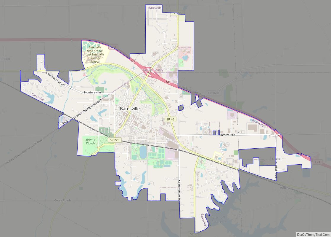
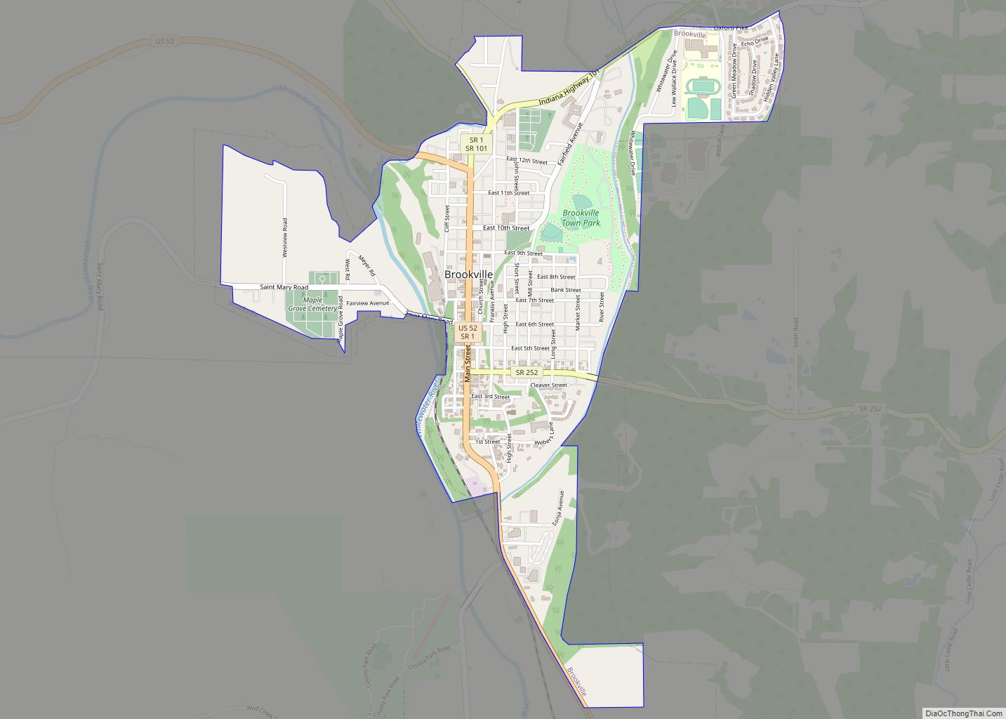
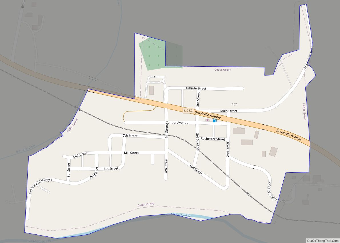
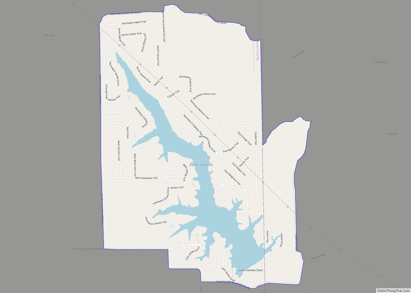
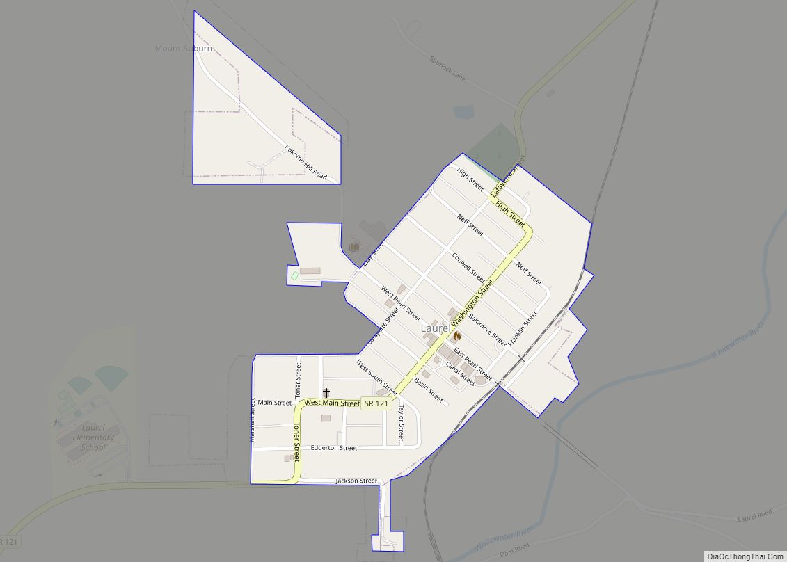
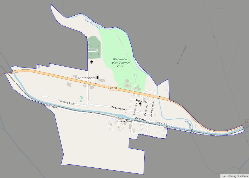
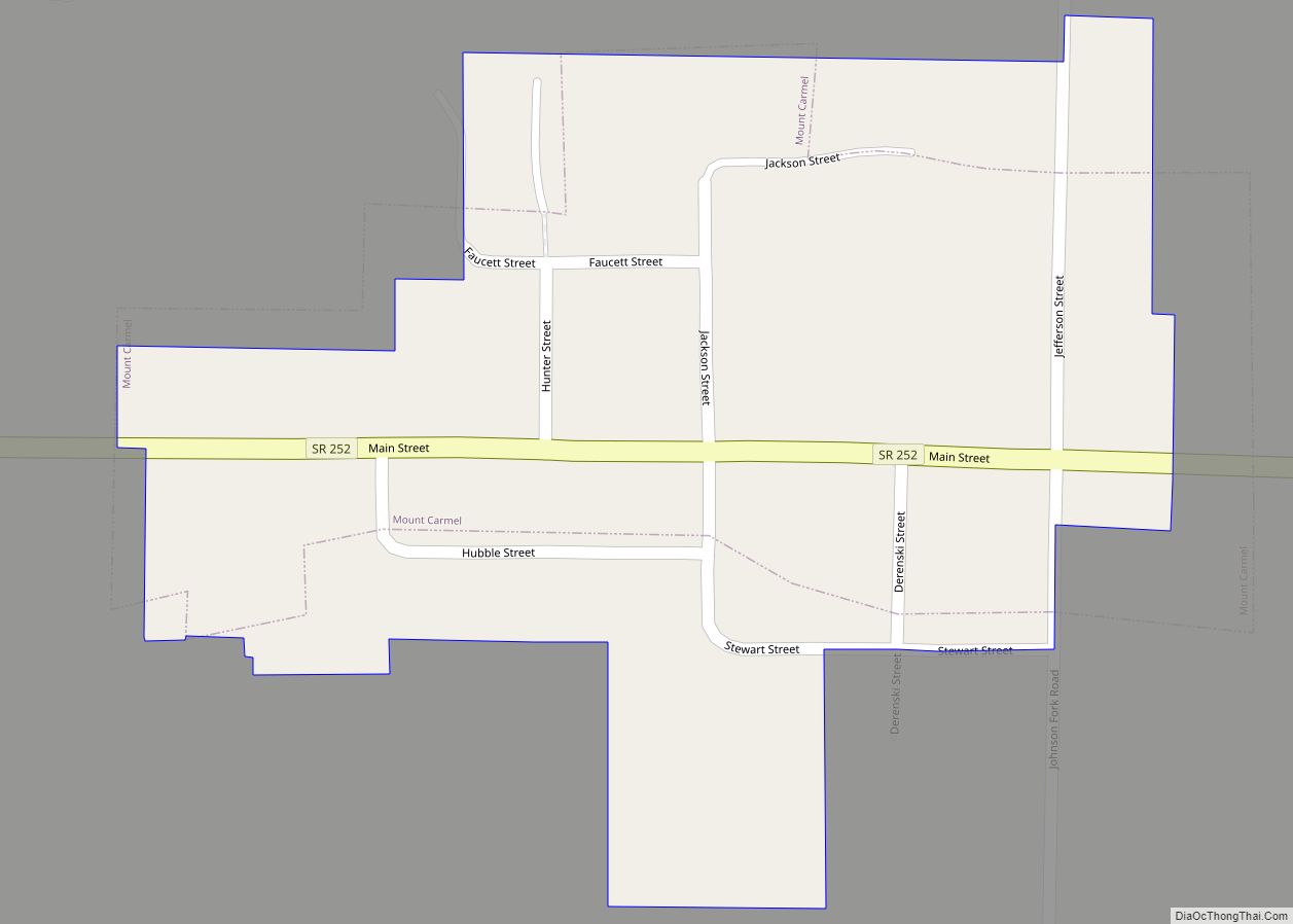
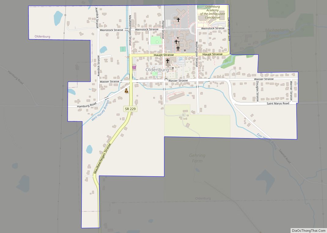
Online Interactive Map
Click on ![]() to view map in "full screen" mode.
to view map in "full screen" mode.
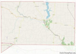
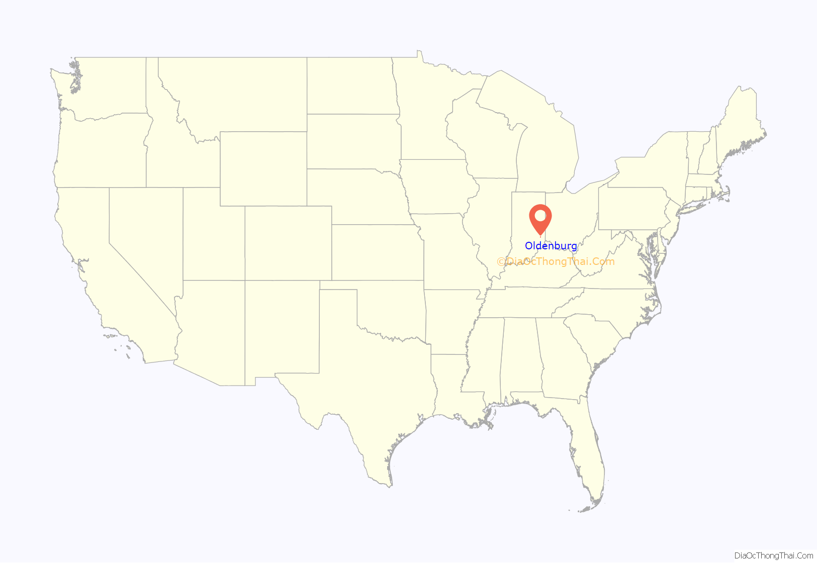
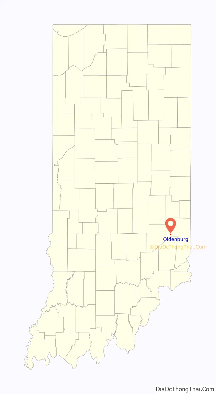
Oldenburg location map. Where is Oldenburg town?
History
Oldenburg was founded in 1837 by a group of German settlers. The town was named after Oldenburg, in Germany. Incorporated in 1881, Oldenburg is called the “Village of Spires” because of its churches and religious educational institutions. In 1851, Mother Theresa Hackelmeier (1827-1860) founded the Sisters of St. Francis of Oldenburg who would open numerous schools in the Midwest.
The Oldenburg Historic District was listed on the National Register of Historic Places in 1983.
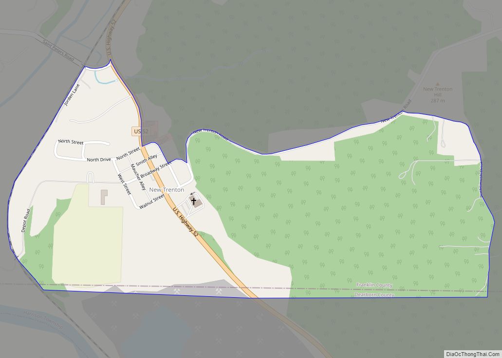
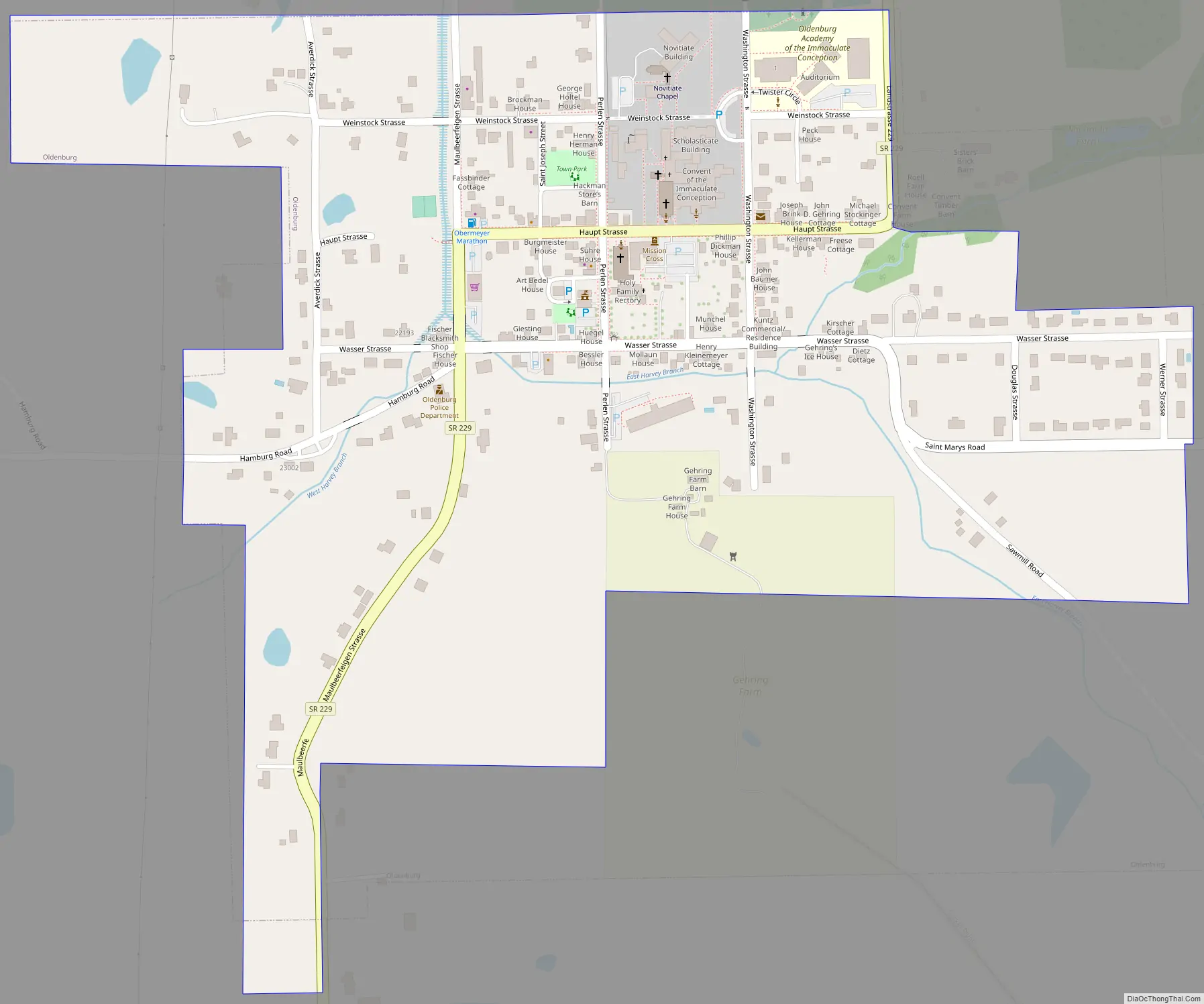
Oldenburg Road Map
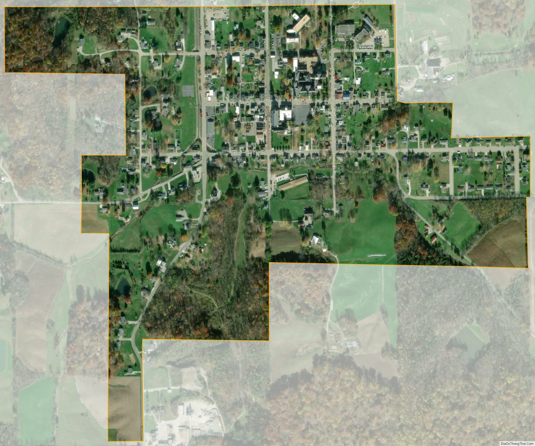
Oldenburg city Satellite Map
Geography
Oldenburg is located at 39°20′22″N 85°12′17″W / 39.33944°N 85.20472°W / 39.33944; -85.20472 (39.339474, -85.204640).
According to the 2010 census, Oldenburg has a total area of 0.43 square miles (1.11 km), all land.
See also
Map of Indiana State and its subdivision:- Adams
- Allen
- Bartholomew
- Benton
- Blackford
- Boone
- Brown
- Carroll
- Cass
- Clark
- Clay
- Clinton
- Crawford
- Daviess
- De Kalb
- Dearborn
- Decatur
- Delaware
- Dubois
- Elkhart
- Fayette
- Floyd
- Fountain
- Franklin
- Fulton
- Gibson
- Grant
- Greene
- Hamilton
- Hancock
- Harrison
- Hendricks
- Henry
- Howard
- Huntington
- Jackson
- Jasper
- Jay
- Jefferson
- Jennings
- Johnson
- Knox
- Kosciusko
- LaGrange
- Lake
- Lake Michigan
- LaPorte
- Lawrence
- Madison
- Marion
- Marshall
- Martin
- Miami
- Monroe
- Montgomery
- Morgan
- Newton
- Noble
- Ohio
- Orange
- Owen
- Parke
- Perry
- Pike
- Porter
- Posey
- Pulaski
- Putnam
- Randolph
- Ripley
- Rush
- Saint Joseph
- Scott
- Shelby
- Spencer
- Starke
- Steuben
- Sullivan
- Switzerland
- Tippecanoe
- Tipton
- Union
- Vanderburgh
- Vermillion
- Vigo
- Wabash
- Warren
- Warrick
- Washington
- Wayne
- Wells
- White
- Whitley
- Alabama
- Alaska
- Arizona
- Arkansas
- California
- Colorado
- Connecticut
- Delaware
- District of Columbia
- Florida
- Georgia
- Hawaii
- Idaho
- Illinois
- Indiana
- Iowa
- Kansas
- Kentucky
- Louisiana
- Maine
- Maryland
- Massachusetts
- Michigan
- Minnesota
- Mississippi
- Missouri
- Montana
- Nebraska
- Nevada
- New Hampshire
- New Jersey
- New Mexico
- New York
- North Carolina
- North Dakota
- Ohio
- Oklahoma
- Oregon
- Pennsylvania
- Rhode Island
- South Carolina
- South Dakota
- Tennessee
- Texas
- Utah
- Vermont
- Virginia
- Washington
- West Virginia
- Wisconsin
- Wyoming