Ossian is a town in Jefferson Township, Wells County, in the U.S. state of Indiana. The town was named after Ossian, the narrator of a cycle of epic poems by the Scottish poet James Macpherson. The population was 3,289 at the 2010 census.
| Name: | Ossian town |
|---|---|
| LSAD Code: | 43 |
| LSAD Description: | town (suffix) |
| State: | Indiana |
| County: | Wells County |
| Elevation: | 797 ft (256 m) |
| Total Area: | 1.68 sq mi (4.34 km²) |
| Land Area: | 1.67 sq mi (4.31 km²) |
| Water Area: | 0.01 sq mi (0.03 km²) |
| Total Population: | 3,266 |
| Population Density: | 1,960.38/sq mi (757.05/km²) |
| ZIP code: | 46777 |
| Area code: | 260 |
| FIPS code: | 1857168 |
| GNISfeature ID: | 440726 |
| Website: | http://www.ossianin.com/ |
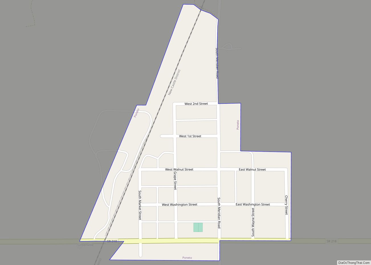
Online Interactive Map
Click on ![]() to view map in "full screen" mode.
to view map in "full screen" mode.
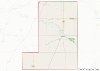
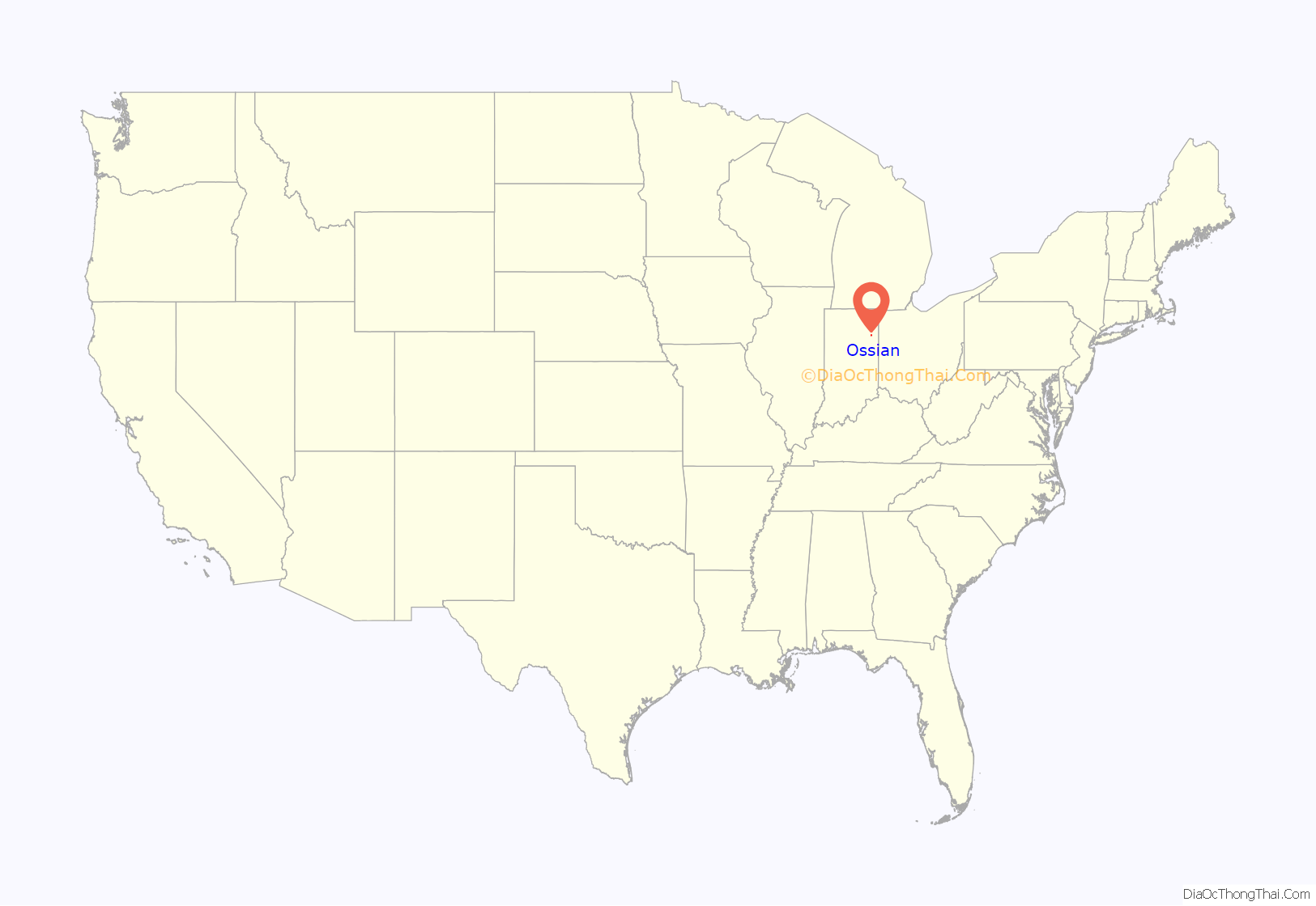
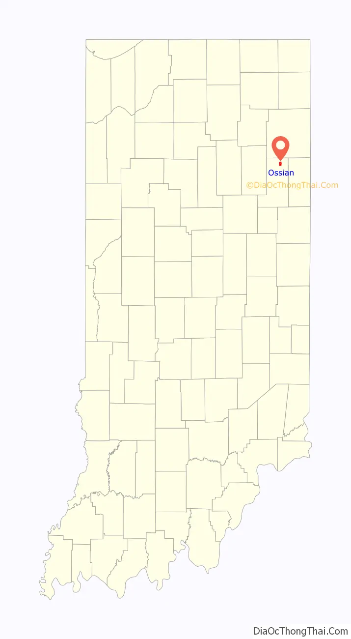
Ossian location map. Where is Ossian town?
History
The Ossian post office has been in operation since 1850. In 1843, Indiana State Road 1 was made serviceable from Fort Wayne to Bluffton. On January 25, 1850, the Fort Wayne and Bluffton Plank Road Company was then organized. The plank road was a toll road; any horse or horse-drawn vehicle had to pay a toll. The Fort Wayne, Cincinnati, & Louisville Railroad was built through Ossian in 1869, though it was not in complete operation until the following year. Today, the railroad is a significant north–south route for the Norfolk Southern Corporation. Ossian is still served by Indiana State Road 1, while four miles north is Interstate 469, the beltway around Fort Wayne, and also just seven miles south of Fort Wayne International Airport.
A 25-foot tall grain silo was painted to look like a minion from the Despicable Me movie on a nearby rural farm in 2016. A Vietnam War veteran mentioned the idea to his family and when he died at 73, family and friends painted it as a way to honor his memory. The grain silo soon became popular with people stopping by to view it from the road and was picked up by national news.
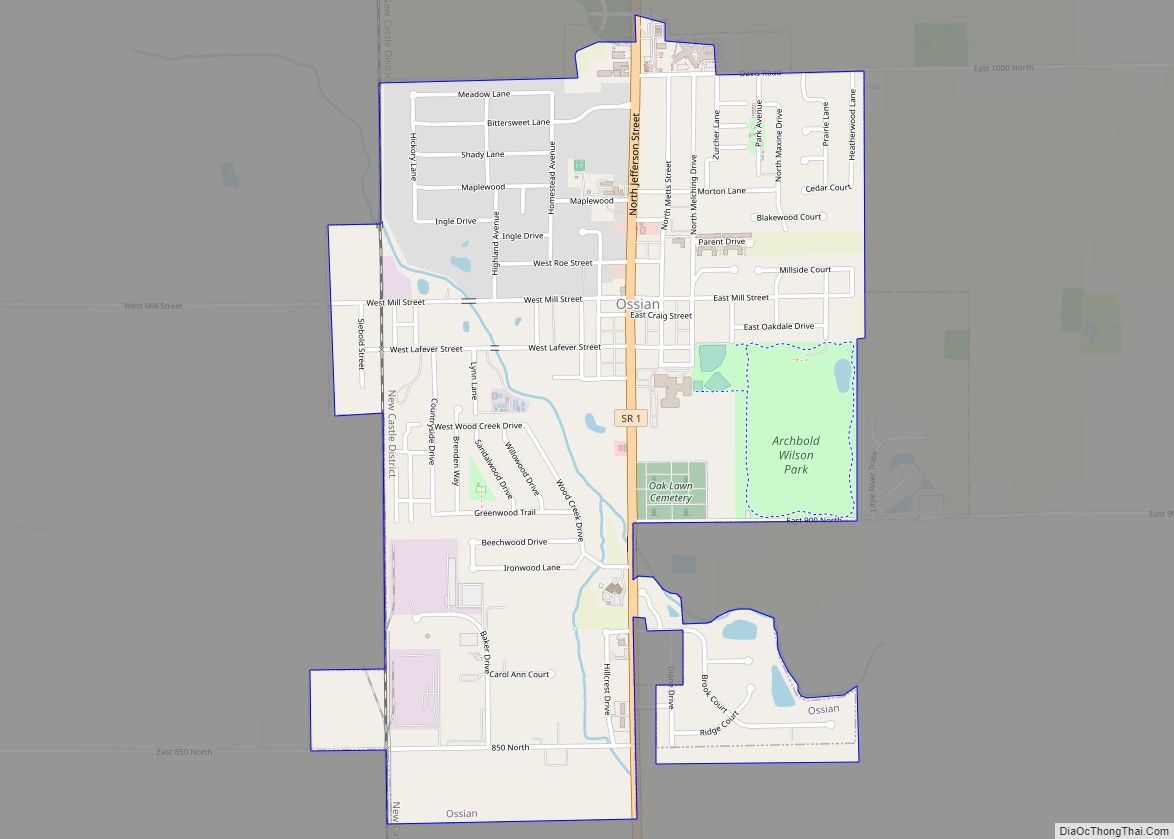
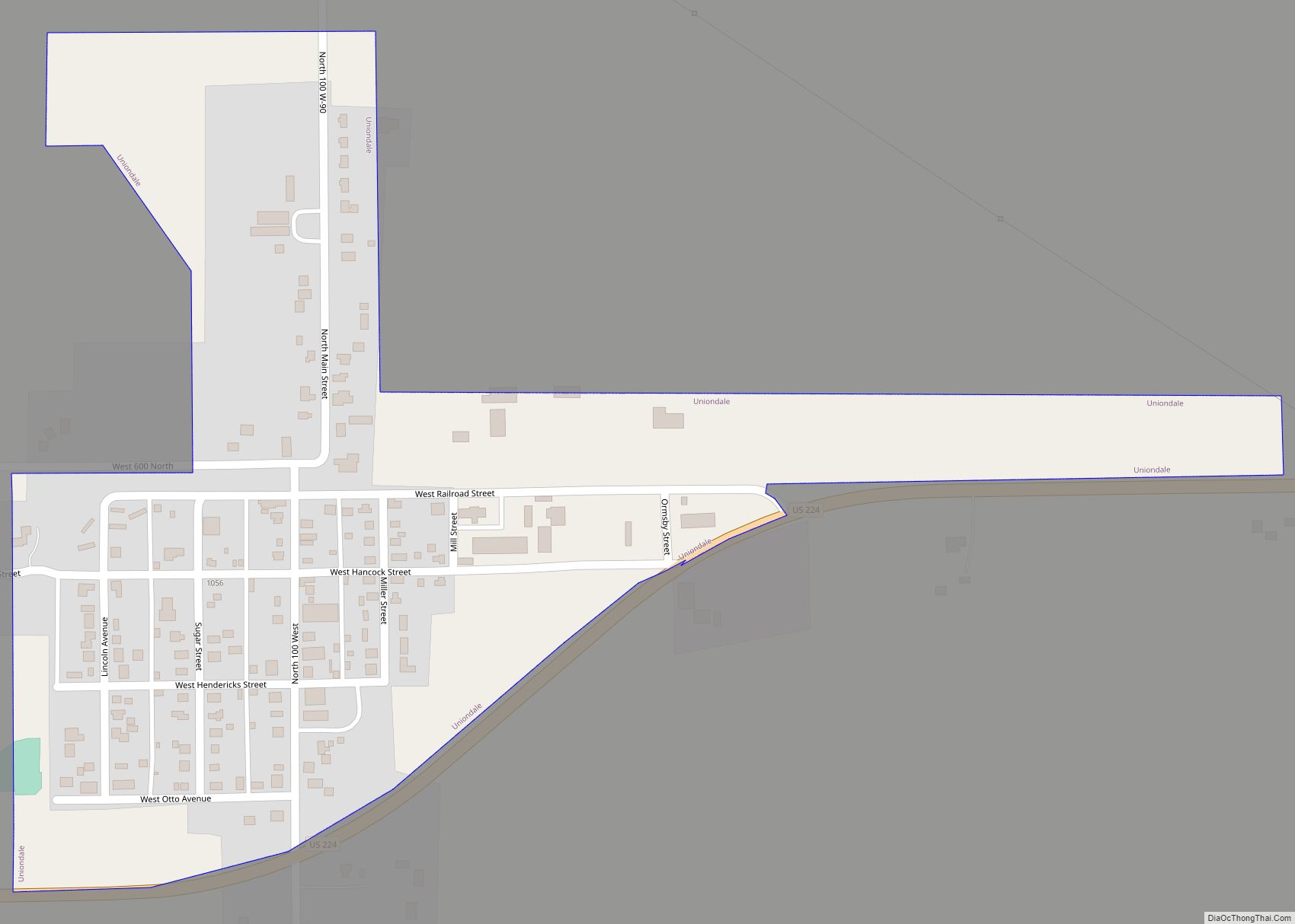
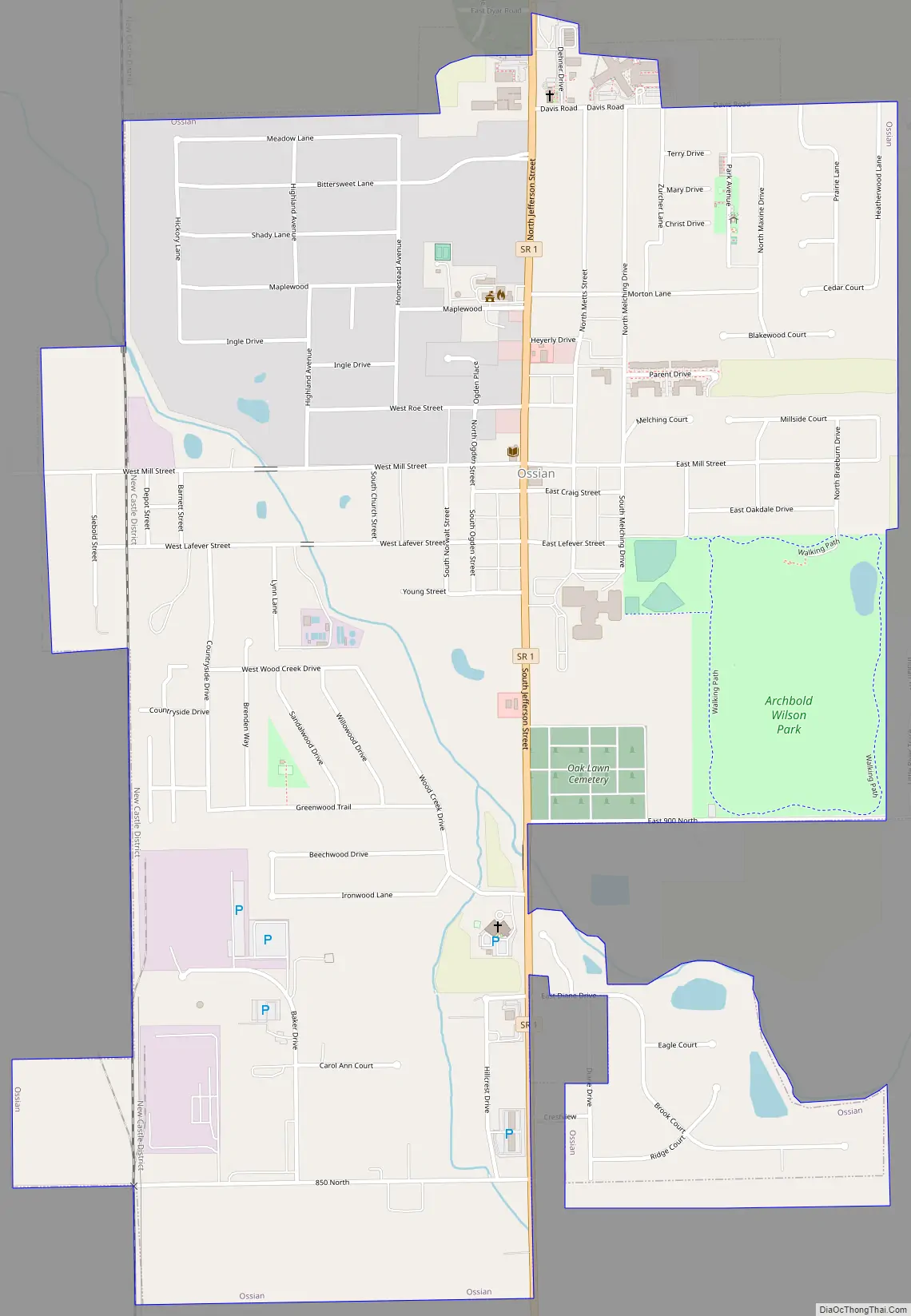
Ossian Road Map
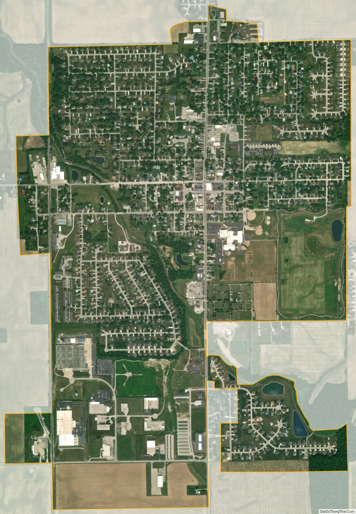
Ossian city Satellite Map
Geography
Ossian is located at 40°52′50″N 85°10′6″W / 40.88056°N 85.16833°W / 40.88056; -85.16833 (40.880447, -85.168369).
According to the 2010 census, Ossian has a total area of 1.44 square miles (3.73 km), of which 1.43 square miles (3.70 km) (or 99.31%) is land and 0.01 square miles (0.03 km) (or 0.69%) is water.
See also
Map of Indiana State and its subdivision:- Adams
- Allen
- Bartholomew
- Benton
- Blackford
- Boone
- Brown
- Carroll
- Cass
- Clark
- Clay
- Clinton
- Crawford
- Daviess
- De Kalb
- Dearborn
- Decatur
- Delaware
- Dubois
- Elkhart
- Fayette
- Floyd
- Fountain
- Franklin
- Fulton
- Gibson
- Grant
- Greene
- Hamilton
- Hancock
- Harrison
- Hendricks
- Henry
- Howard
- Huntington
- Jackson
- Jasper
- Jay
- Jefferson
- Jennings
- Johnson
- Knox
- Kosciusko
- LaGrange
- Lake
- Lake Michigan
- LaPorte
- Lawrence
- Madison
- Marion
- Marshall
- Martin
- Miami
- Monroe
- Montgomery
- Morgan
- Newton
- Noble
- Ohio
- Orange
- Owen
- Parke
- Perry
- Pike
- Porter
- Posey
- Pulaski
- Putnam
- Randolph
- Ripley
- Rush
- Saint Joseph
- Scott
- Shelby
- Spencer
- Starke
- Steuben
- Sullivan
- Switzerland
- Tippecanoe
- Tipton
- Union
- Vanderburgh
- Vermillion
- Vigo
- Wabash
- Warren
- Warrick
- Washington
- Wayne
- Wells
- White
- Whitley
- Alabama
- Alaska
- Arizona
- Arkansas
- California
- Colorado
- Connecticut
- Delaware
- District of Columbia
- Florida
- Georgia
- Hawaii
- Idaho
- Illinois
- Indiana
- Iowa
- Kansas
- Kentucky
- Louisiana
- Maine
- Maryland
- Massachusetts
- Michigan
- Minnesota
- Mississippi
- Missouri
- Montana
- Nebraska
- Nevada
- New Hampshire
- New Jersey
- New Mexico
- New York
- North Carolina
- North Dakota
- Ohio
- Oklahoma
- Oregon
- Pennsylvania
- Rhode Island
- South Carolina
- South Dakota
- Tennessee
- Texas
- Utah
- Vermont
- Virginia
- Washington
- West Virginia
- Wisconsin
- Wyoming