Zanesville is a town in Allen and Wells counties in the U.S. state of Indiana, southwest of Fort Wayne. The population was 600 at the 2010 census.
| Name: | Zanesville town |
|---|---|
| LSAD Code: | 43 |
| LSAD Description: | town (suffix) |
| State: | Indiana |
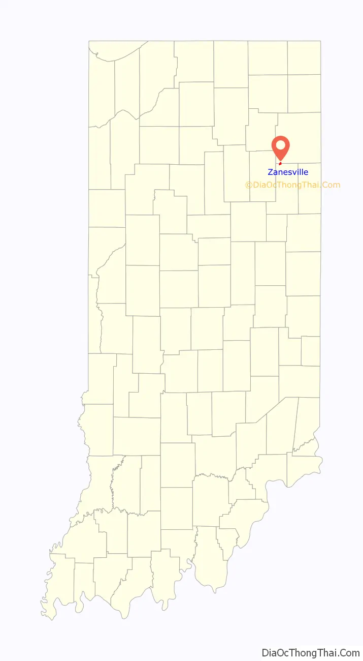
| County: | Allen County, Wells County |
| Elevation: | 810 ft (247 m) |
| Total Area: | 0.84 sq mi (2.17 km²) |
| Land Area: | 0.83 sq mi (2.14 km²) |
| Water Area: | 0.01 sq mi (0.02 km²) |
| Total Population: | 580 |
| Population Density: | 700.48/sq mi (270.52/km²) |
| ZIP code: | 46799 |
| Area code: | 260 |
| FIPS code: | 1886318 |
| GNISfeature ID: | 446424 |
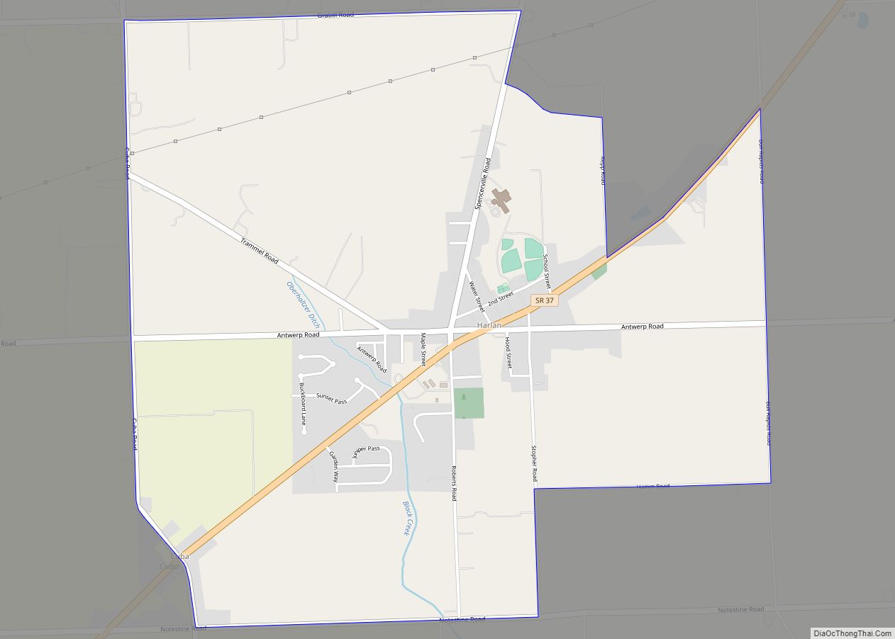
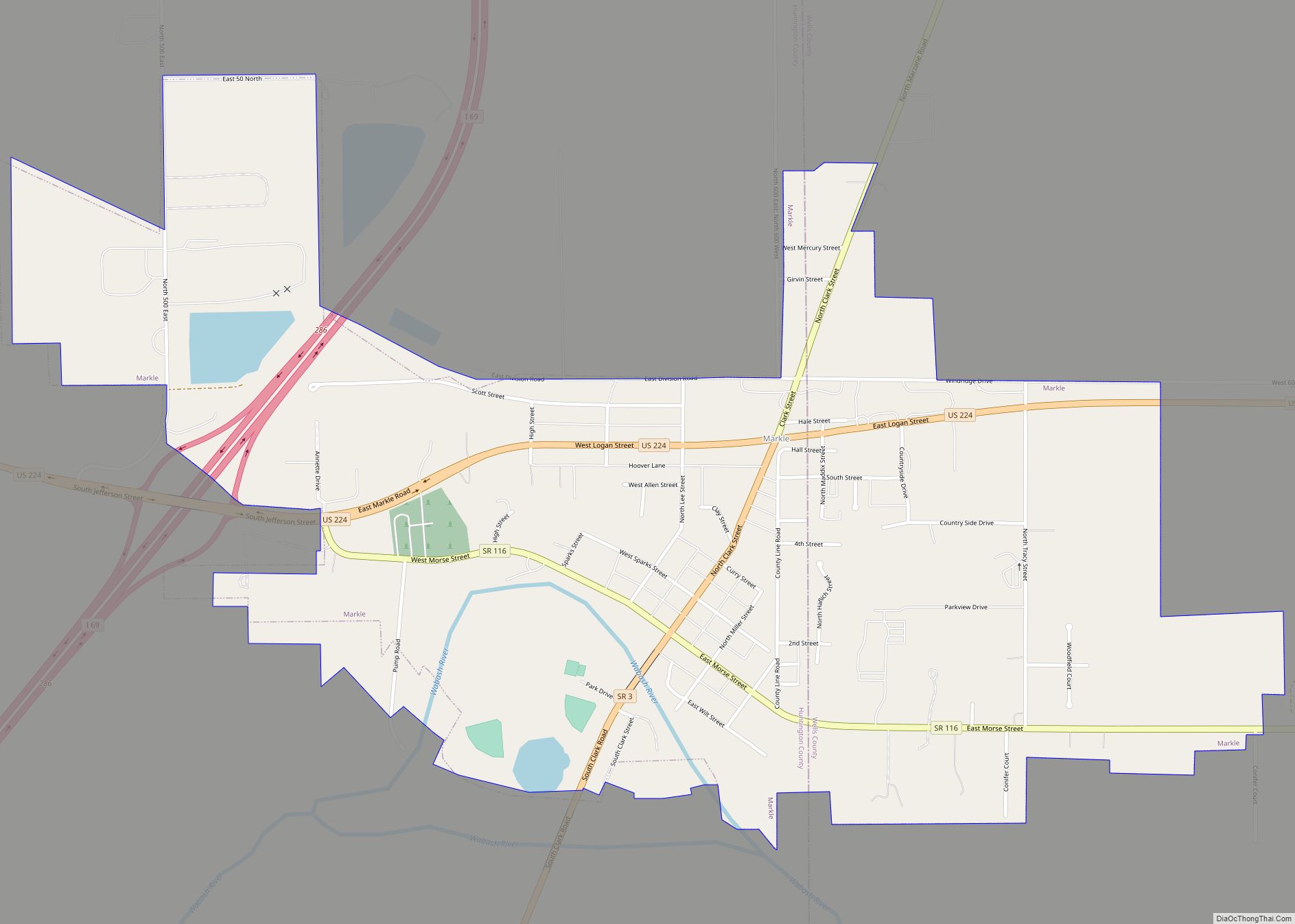
Online Interactive Map
Click on ![]() to view map in "full screen" mode.
to view map in "full screen" mode.
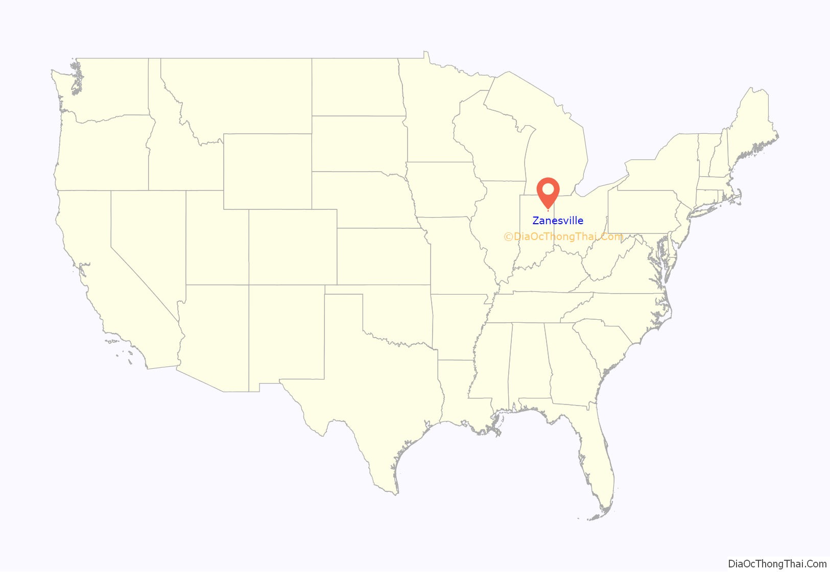
Zanesville location map. Where is Zanesville town?
History
Zanesville was likely named after Zanesville, Ohio.
A post office was established at Zanesville in 1854, and remained in operation until it was discontinued in 1964. However, the United States Postal Service web site does note that a post office branch is currently in operation at 10917 Washington Street in Zanesville, with an assigned ZIP Code of 46799.
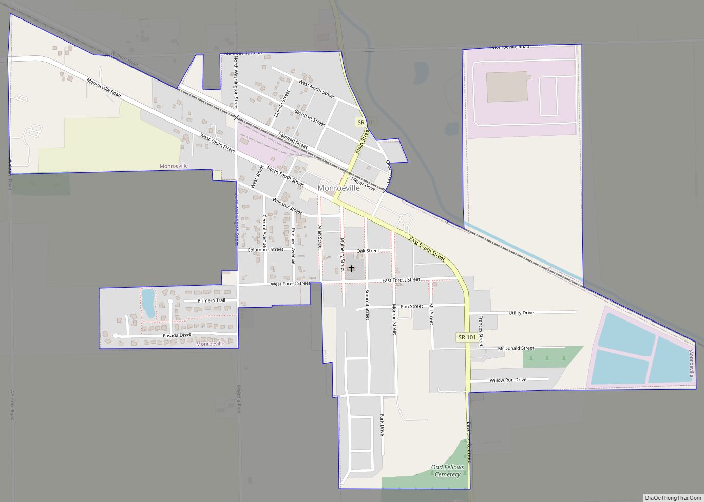
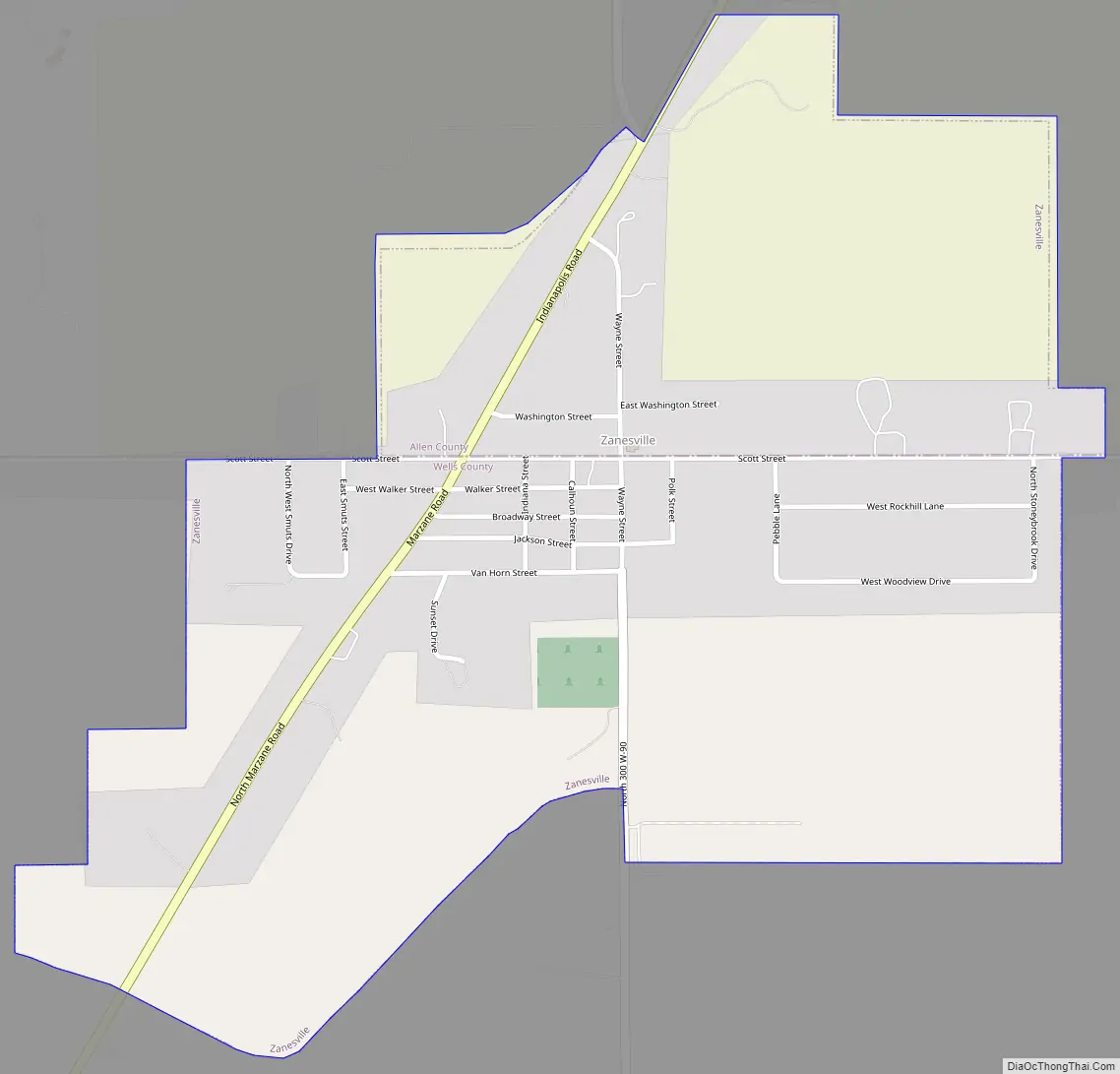
Zanesville Road Map
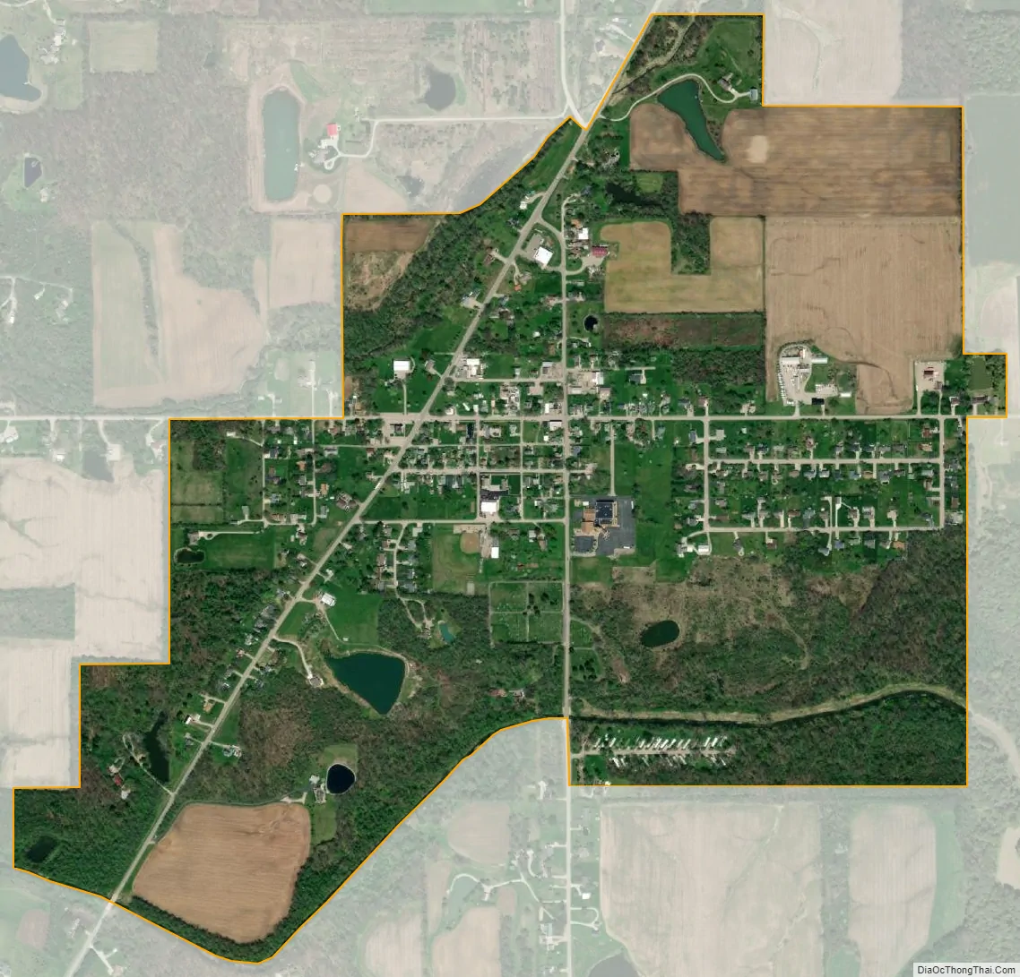
Zanesville city Satellite Map
Geography
Zanesville is located at 40°54′57″N 85°16′53″W / 40.91583°N 85.28139°W / 40.91583; -85.28139 (40.915947, -85.281260).
According to the 2010 census, Zanesville has a total area of 0.83 square miles (2.15 km), of which 0.82 square miles (2.12 km) (or 98.8%) is land and 0.01 square miles (0.03 km) (or 1.2%) is water.
See also
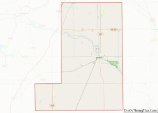
Map of Indiana State and its subdivision:- Adams
- Allen
- Bartholomew
- Benton
- Blackford
- Boone
- Brown
- Carroll
- Cass
- Clark
- Clay
- Clinton
- Crawford
- Daviess
- De Kalb
- Dearborn
- Decatur
- Delaware
- Dubois
- Elkhart
- Fayette
- Floyd
- Fountain
- Franklin
- Fulton
- Gibson
- Grant
- Greene
- Hamilton
- Hancock
- Harrison
- Hendricks
- Henry
- Howard
- Huntington
- Jackson
- Jasper
- Jay
- Jefferson
- Jennings
- Johnson
- Knox
- Kosciusko
- LaGrange
- Lake
- Lake Michigan
- LaPorte
- Lawrence
- Madison
- Marion
- Marshall
- Martin
- Miami
- Monroe
- Montgomery
- Morgan
- Newton
- Noble
- Ohio
- Orange
- Owen
- Parke
- Perry
- Pike
- Porter
- Posey
- Pulaski
- Putnam
- Randolph
- Ripley
- Rush
- Saint Joseph
- Scott
- Shelby
- Spencer
- Starke
- Steuben
- Sullivan
- Switzerland
- Tippecanoe
- Tipton
- Union
- Vanderburgh
- Vermillion
- Vigo
- Wabash
- Warren
- Warrick
- Washington
- Wayne
- Wells
- White
- Whitley
- Alabama
- Alaska
- Arizona
- Arkansas
- California
- Colorado
- Connecticut
- Delaware
- District of Columbia
- Florida
- Georgia
- Hawaii
- Idaho
- Illinois
- Indiana
- Iowa
- Kansas
- Kentucky
- Louisiana
- Maine
- Maryland
- Massachusetts
- Michigan
- Minnesota
- Mississippi
- Missouri
- Montana
- Nebraska
- Nevada
- New Hampshire
- New Jersey
- New Mexico
- New York
- North Carolina
- North Dakota
- Ohio
- Oklahoma
- Oregon
- Pennsylvania
- Rhode Island
- South Carolina
- South Dakota
- Tennessee
- Texas
- Utah
- Vermont
- Virginia
- Washington
- West Virginia
- Wisconsin
- Wyoming