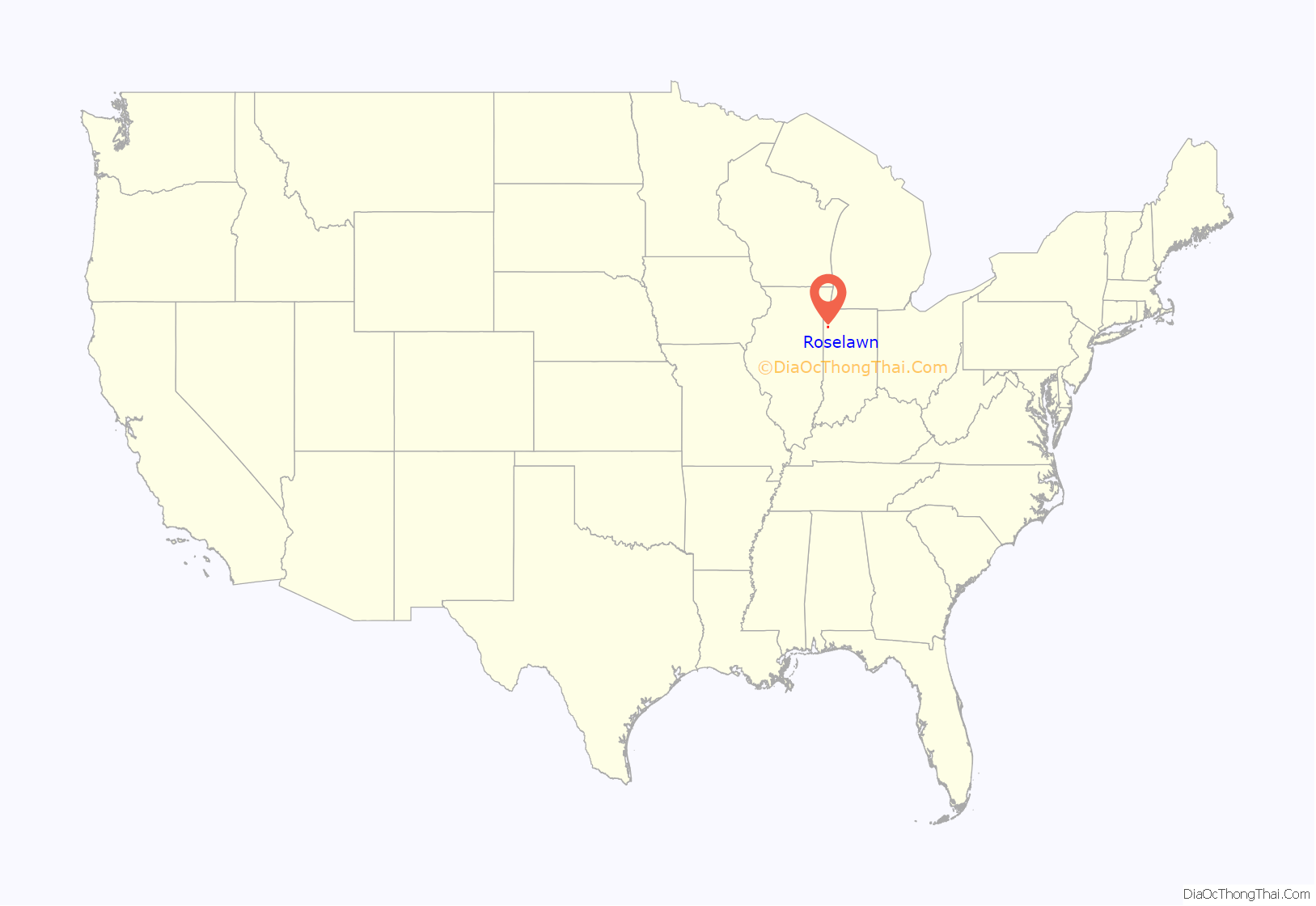
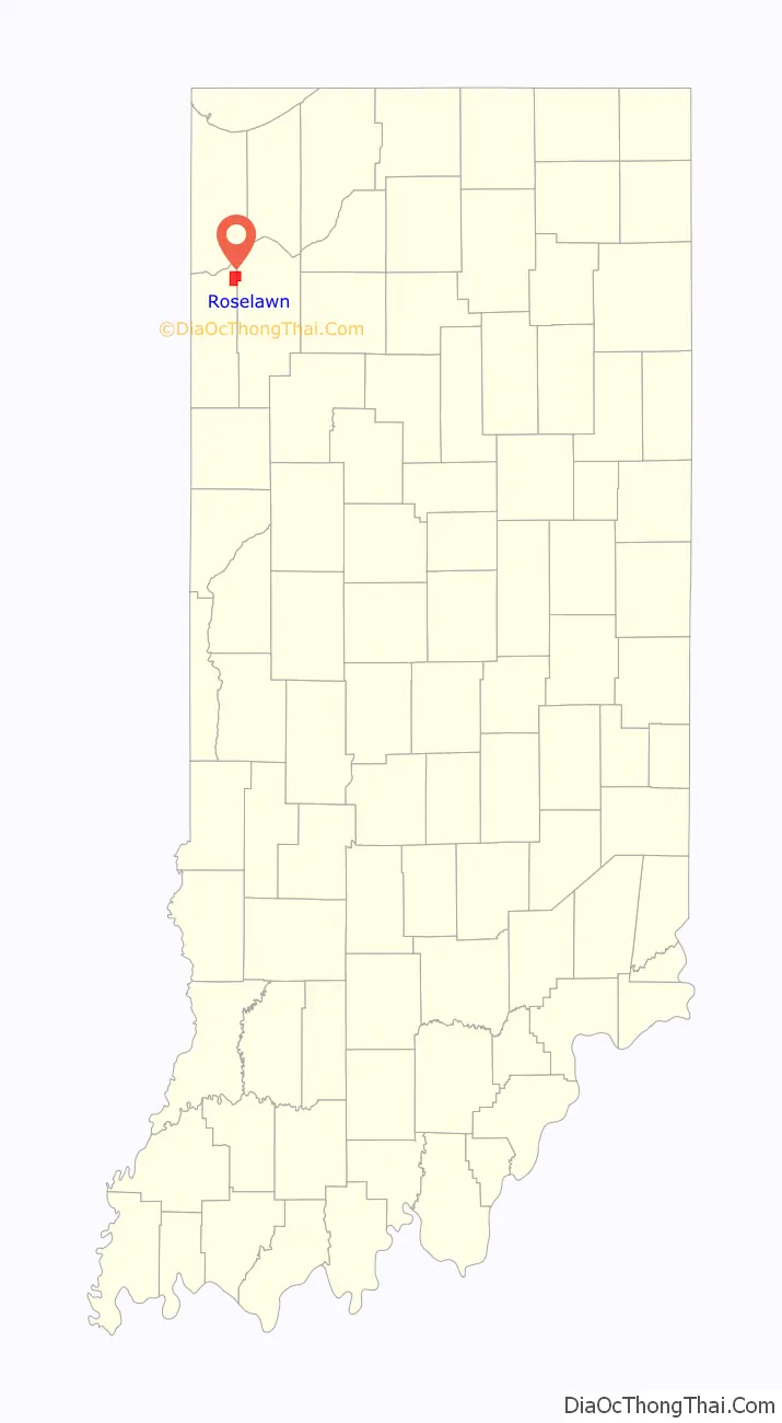
Roselawn is a census-designated place (CDP) in Newton and Jasper counties in the U.S. state of Indiana. The population was 4,131 at the 2010 census.
Roselawn is known within northwestern Indiana for the two nudist resorts which operate in this town: the Ponderosa Sun Club and Sun Aura. Sun Aura resort was previously known as Naked City, but closed in 1986 after its operator, Dick Drost, encountered significant legal troubles. The resort continued to operate under several different owners and was known as Sunspot resort prior to becoming Sun Aura. The clubs are long-standing fixtures of the community, dating to the 1930s.
| Name: | Roselawn CDP |
|---|---|
| LSAD Code: | 57 |
| LSAD Description: | CDP (suffix) |
| State: | Indiana |
| County: | Jasper County, Newton County |
| Elevation: | 679 ft (207 m) |
| Total Area: | 8.06 sq mi (20.88 km²) |
| Land Area: | 8.05 sq mi (20.85 km²) |
| Water Area: | 0.01 sq mi (0.03 km²) |
| Total Population: | 4,132 |
| Population Density: | 513.23/sq mi (198.16/km²) |
| ZIP code: | 46372 |
| Area code: | 219 |
| FIPS code: | 1866006 |
| GNISfeature ID: | 2393214 |
Online Interactive Map
Click on ![]() to view map in "full screen" mode.
to view map in "full screen" mode.
Roselawn location map. Where is Roselawn CDP?
History
Roselawn was laid out in 1882. The community’s name is an amalgamation of the names of early merchants Orlando Rose and Lon Craig. A post office has been in operation at Roselawn since 1881.
On October 31, 1994, American Eagle Flight 4184 crashed at Roselawn, killing all 64 passengers and four crew members aboard.
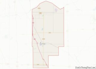
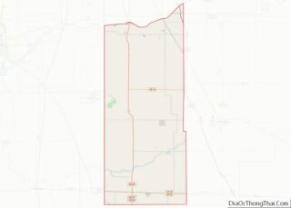
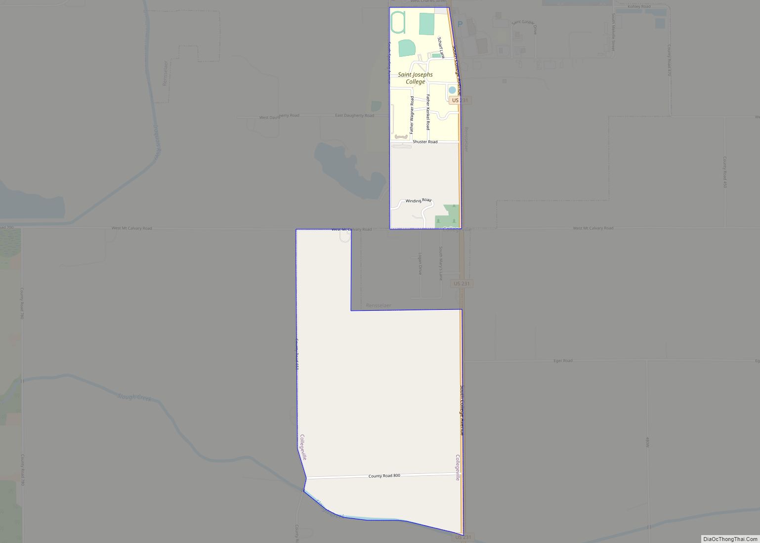
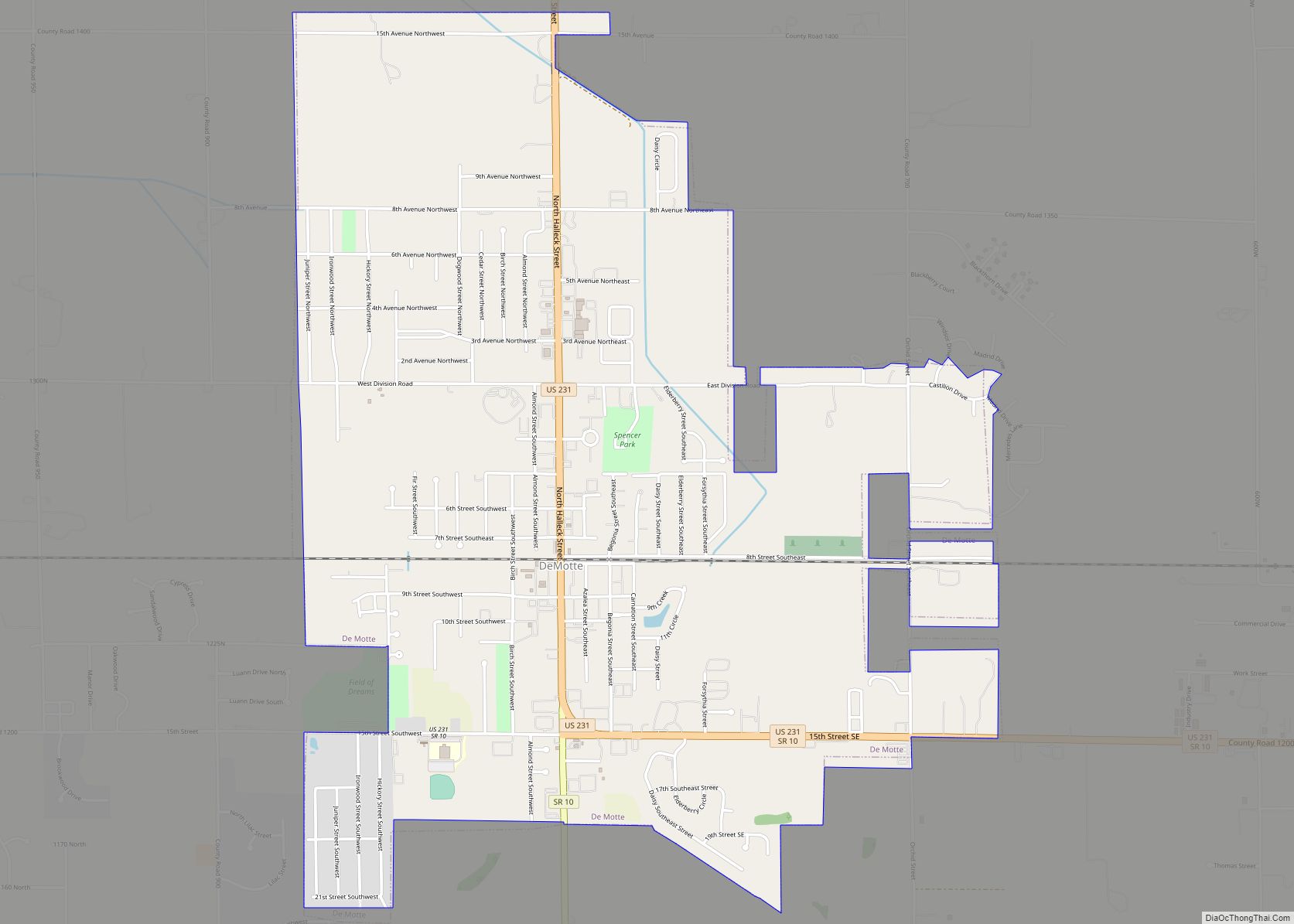
Roselawn Road Map
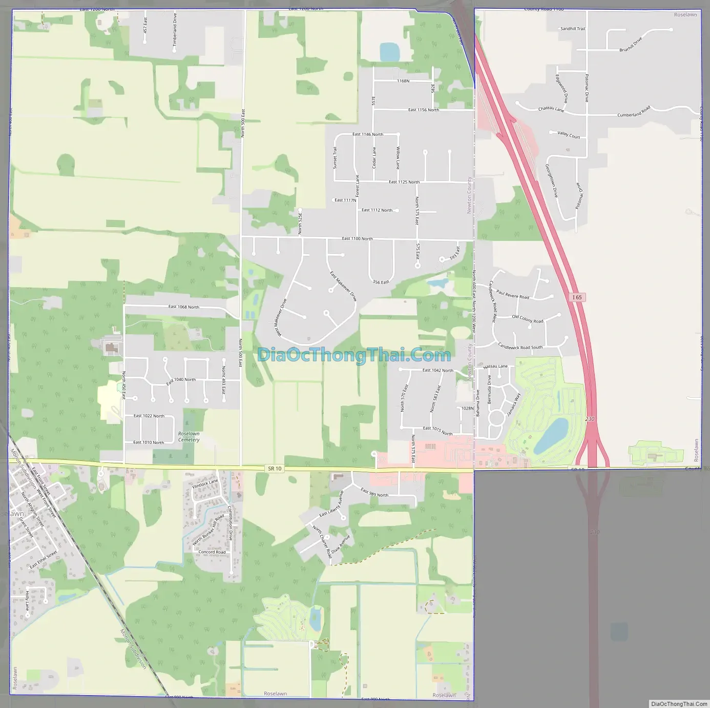
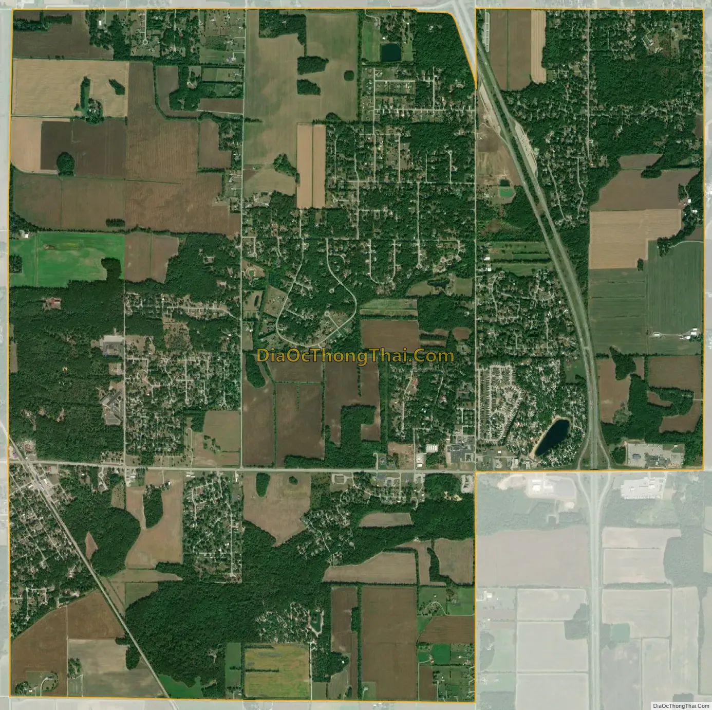
Roselawn city Satellite Map
Geography
The original center of Roselawn is in northeastern Newton County, with the CDP extending eastward into northwestern Jasper County. Indiana State Road 10 passes through the community, leading east and north 8 miles (13 km) to DeMotte, and west the same distance to Lake Village. Interstate 65 passes through the eastern part of the community, with access from Exit 230 (State Road 10); I-65 leads north 33 miles (53 km) to Gary and south 58 miles (93 km) to Lafayette.
According to the United States Census Bureau, the Roselawn CDP has a total area of 8.1 square miles (20.9 km), of which 0.01 square miles (0.03 km), or 0.15%, are water.
See also
Map of Indiana State and its subdivision:- Adams
- Allen
- Bartholomew
- Benton
- Blackford
- Boone
- Brown
- Carroll
- Cass
- Clark
- Clay
- Clinton
- Crawford
- Daviess
- De Kalb
- Dearborn
- Decatur
- Delaware
- Dubois
- Elkhart
- Fayette
- Floyd
- Fountain
- Franklin
- Fulton
- Gibson
- Grant
- Greene
- Hamilton
- Hancock
- Harrison
- Hendricks
- Henry
- Howard
- Huntington
- Jackson
- Jasper
- Jay
- Jefferson
- Jennings
- Johnson
- Knox
- Kosciusko
- LaGrange
- Lake
- Lake Michigan
- LaPorte
- Lawrence
- Madison
- Marion
- Marshall
- Martin
- Miami
- Monroe
- Montgomery
- Morgan
- Newton
- Noble
- Ohio
- Orange
- Owen
- Parke
- Perry
- Pike
- Porter
- Posey
- Pulaski
- Putnam
- Randolph
- Ripley
- Rush
- Saint Joseph
- Scott
- Shelby
- Spencer
- Starke
- Steuben
- Sullivan
- Switzerland
- Tippecanoe
- Tipton
- Union
- Vanderburgh
- Vermillion
- Vigo
- Wabash
- Warren
- Warrick
- Washington
- Wayne
- Wells
- White
- Whitley
- Alabama
- Alaska
- Arizona
- Arkansas
- California
- Colorado
- Connecticut
- Delaware
- District of Columbia
- Florida
- Georgia
- Hawaii
- Idaho
- Illinois
- Indiana
- Iowa
- Kansas
- Kentucky
- Louisiana
- Maine
- Maryland
- Massachusetts
- Michigan
- Minnesota
- Mississippi
- Missouri
- Montana
- Nebraska
- Nevada
- New Hampshire
- New Jersey
- New Mexico
- New York
- North Carolina
- North Dakota
- Ohio
- Oklahoma
- Oregon
- Pennsylvania
- Rhode Island
- South Carolina
- South Dakota
- Tennessee
- Texas
- Utah
- Vermont
- Virginia
- Washington
- West Virginia
- Wisconsin
- Wyoming