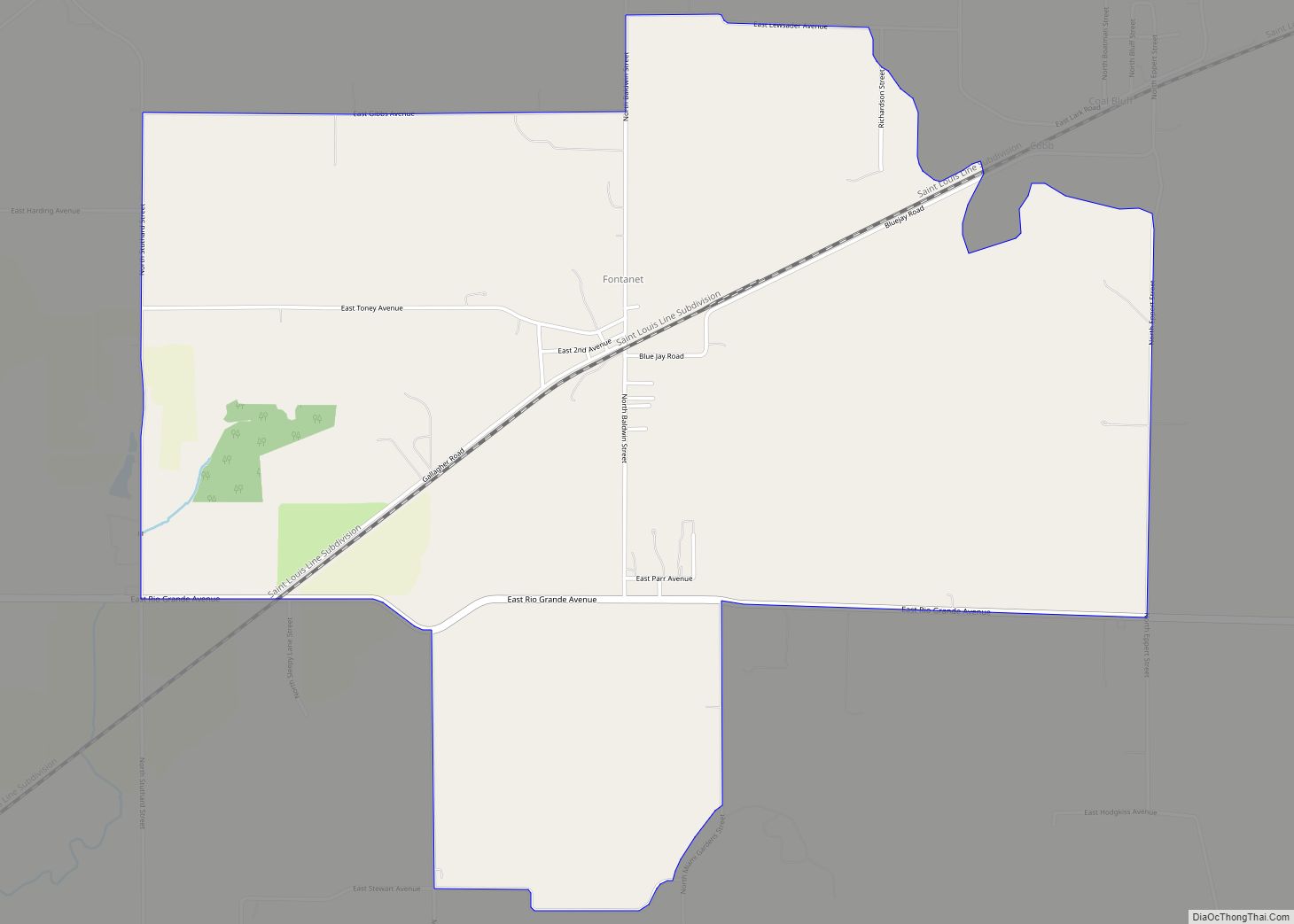
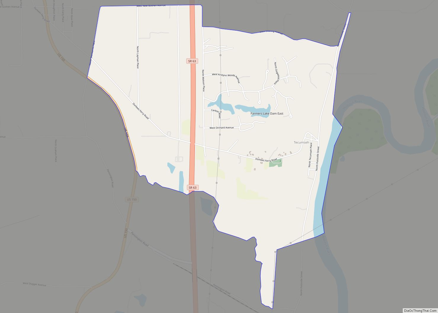
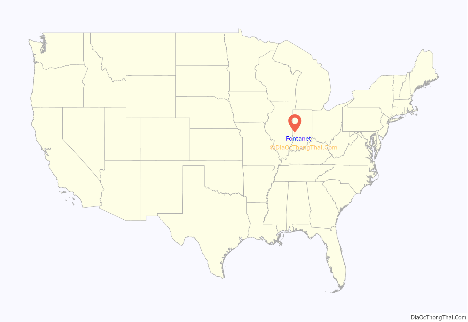
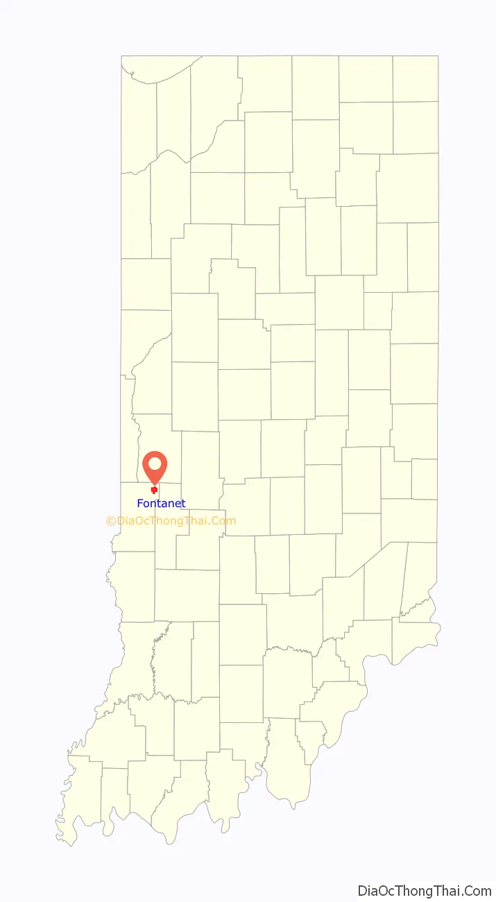
Fontanet (also Fountain, Fountain Station, or Hunter) is an unincorporated census-designated place in central Nevins Township, Vigo County, in the U.S. state of Indiana. It lies along Baldwin St., northeast of the city of Terre Haute, the county seat of Vigo County. Its elevation is 614 feet (187 m), and it is located at 39°34′34″N 87°14′37″W / 39.57611°N 87.24361°W / 39.57611; -87.24361 (39.5761500, −87.2436276). Although Fontanet is unincorporated, it has a post office, with the ZIP Code of 47851.
Fontanet is part of the Terre Haute Metropolitan Statistical Area.
Each year on the last weekend in August, Fontanet enjoys the Annual Fontanet Bean Dinner Festival, a tradition stemming from a Civil War veterans’ picnic first held in 1890. The festival was originally held on land near the DuPont Powder Mill. After the mill exploded in 1907, the picnic moved to the site known as Holloway Grove, donated by local landowner Bill Holloway.
| Name: | Fontanet CDP |
|---|---|
| LSAD Code: | 57 |
| LSAD Description: | CDP (suffix) |
| State: | Indiana |
| County: | Vigo County |
| Elevation: | 597 ft (182 m) |
| Total Area: | 4.08 sq mi (10.56 km²) |
| Land Area: | 4.05 sq mi (10.49 km²) |
| Water Area: | 0.03 sq mi (0.07 km²) |
| Total Population: | 347 |
| Population Density: | 85.68/sq mi (33.08/km²) |
| ZIP code: | 47851 |
| Area code: | 812, 930 |
| FIPS code: | 1823854 |
| GNISfeature ID: | 434631 |
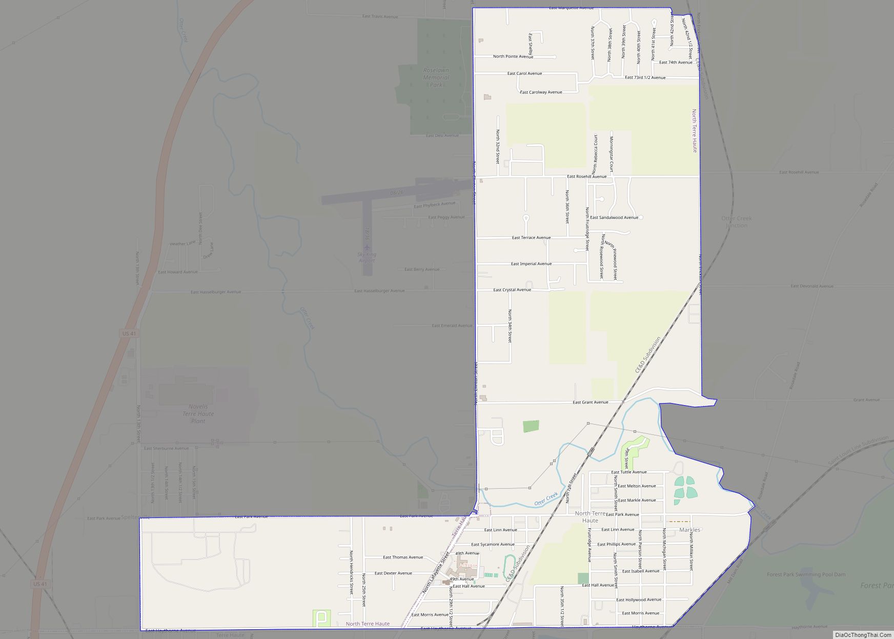
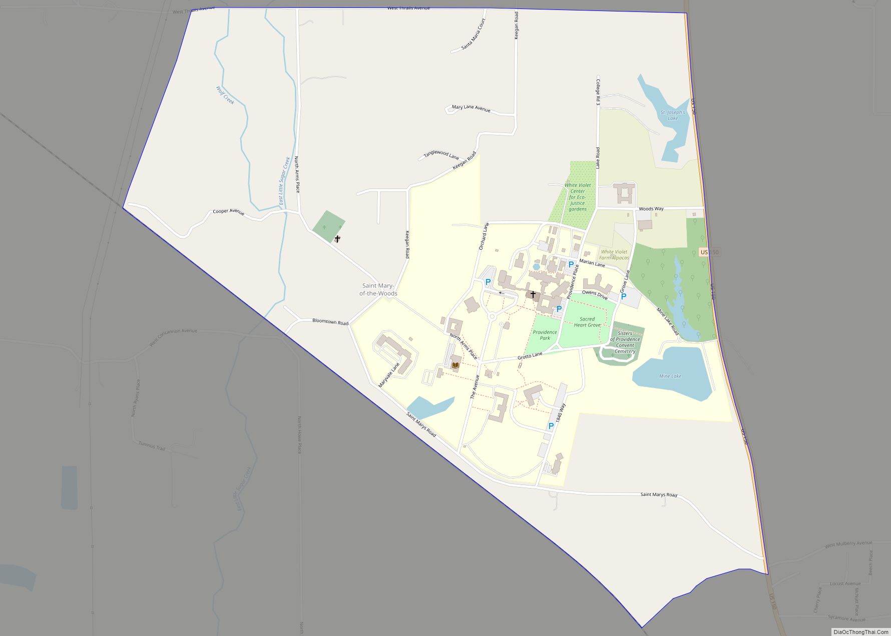
Online Interactive Map
Click on ![]() to view map in "full screen" mode.
to view map in "full screen" mode.
Fontanet location map. Where is Fontanet CDP?
History
Fontanet, two miles west of Coal Bluff, was also an important mining town worked and operated by the Coal Bluff Mining Company. The town also was an important railroad station on the Indianapolis and St. Louis Railroad. The mining company had a large general store, and in 1890 over 300 miners lived in Fontanet.
The town’s post office was established under the name Fountain Station in 1870. It was renamed to Hunter in 1877, and again to Fontanet in 1881. The post office is still in operation as of April 2017.
On 15 October 1907, approximately 40,000 kegs of powder exploded at the DuPont Powder Mill of Fontanet, Indiana, killing between 50 and 80 people, and destroying the town. The sound of the explosion was heard over 200 miles (320 km) away, with damage occurring to buildings 25 miles (40 km) away.
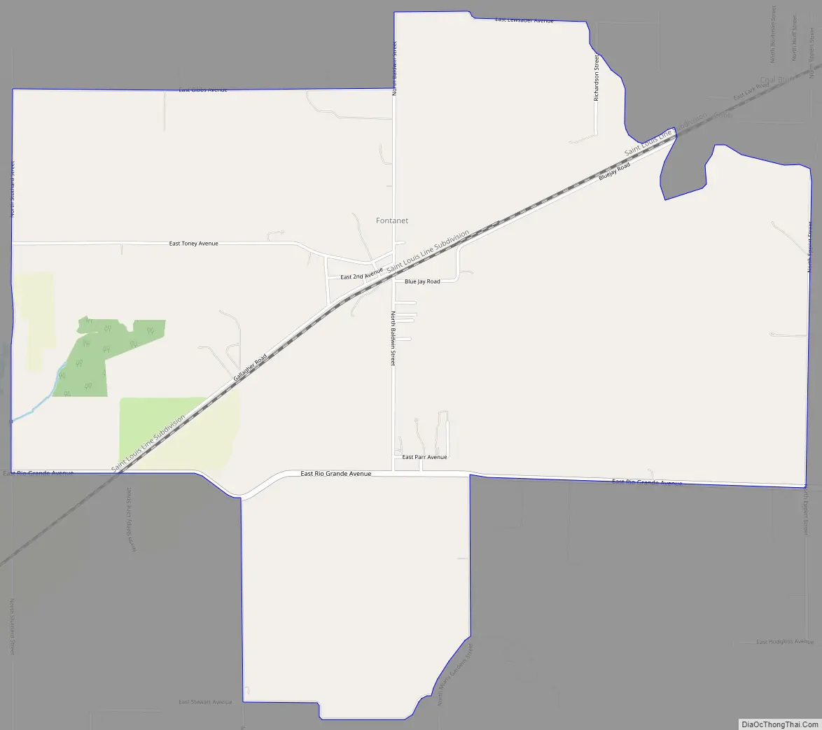
Fontanet Road Map
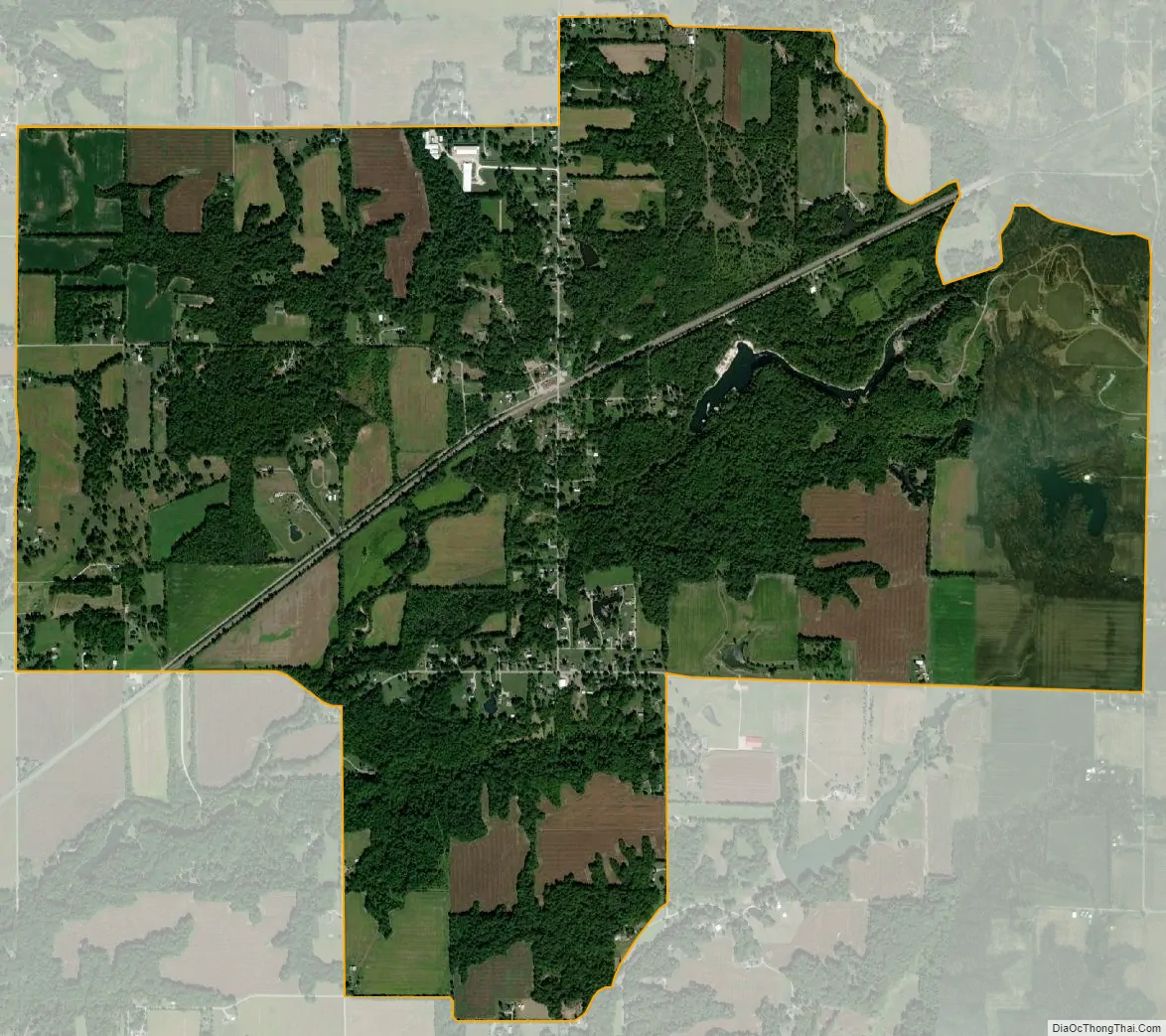
Fontanet city Satellite Map
See also
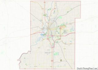
Map of Indiana State and its subdivision:- Adams
- Allen
- Bartholomew
- Benton
- Blackford
- Boone
- Brown
- Carroll
- Cass
- Clark
- Clay
- Clinton
- Crawford
- Daviess
- De Kalb
- Dearborn
- Decatur
- Delaware
- Dubois
- Elkhart
- Fayette
- Floyd
- Fountain
- Franklin
- Fulton
- Gibson
- Grant
- Greene
- Hamilton
- Hancock
- Harrison
- Hendricks
- Henry
- Howard
- Huntington
- Jackson
- Jasper
- Jay
- Jefferson
- Jennings
- Johnson
- Knox
- Kosciusko
- LaGrange
- Lake
- Lake Michigan
- LaPorte
- Lawrence
- Madison
- Marion
- Marshall
- Martin
- Miami
- Monroe
- Montgomery
- Morgan
- Newton
- Noble
- Ohio
- Orange
- Owen
- Parke
- Perry
- Pike
- Porter
- Posey
- Pulaski
- Putnam
- Randolph
- Ripley
- Rush
- Saint Joseph
- Scott
- Shelby
- Spencer
- Starke
- Steuben
- Sullivan
- Switzerland
- Tippecanoe
- Tipton
- Union
- Vanderburgh
- Vermillion
- Vigo
- Wabash
- Warren
- Warrick
- Washington
- Wayne
- Wells
- White
- Whitley
- Alabama
- Alaska
- Arizona
- Arkansas
- California
- Colorado
- Connecticut
- Delaware
- District of Columbia
- Florida
- Georgia
- Hawaii
- Idaho
- Illinois
- Indiana
- Iowa
- Kansas
- Kentucky
- Louisiana
- Maine
- Maryland
- Massachusetts
- Michigan
- Minnesota
- Mississippi
- Missouri
- Montana
- Nebraska
- Nevada
- New Hampshire
- New Jersey
- New Mexico
- New York
- North Carolina
- North Dakota
- Ohio
- Oklahoma
- Oregon
- Pennsylvania
- Rhode Island
- South Carolina
- South Dakota
- Tennessee
- Texas
- Utah
- Vermont
- Virginia
- Washington
- West Virginia
- Wisconsin
- Wyoming