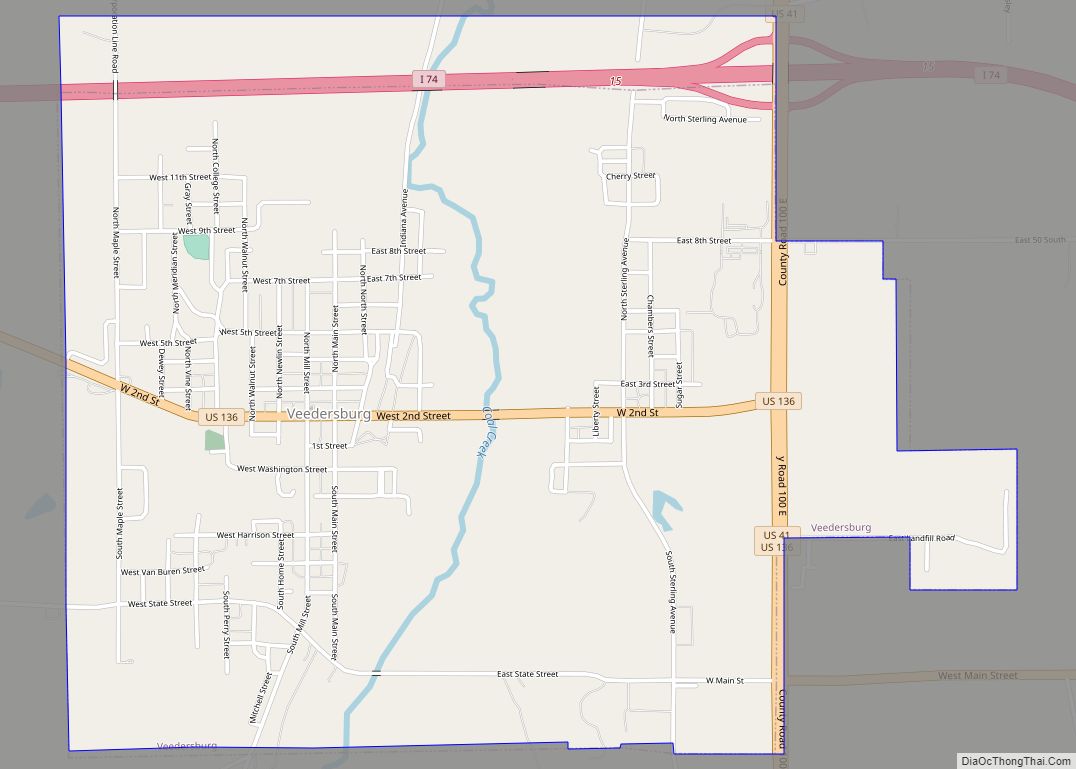
Veedersburg is a town in Van Buren Township, Fountain County, Indiana, United States. The population was 2,180 at the 2010 census.
| Name: | Veedersburg town |
|---|---|
| LSAD Code: | 43 |
| LSAD Description: | town (suffix) |
| State: | Indiana |
| County: | Fountain County |
| Incorporated: | 1872 |
| Elevation: | 633 ft (193 m) |
| Total Area: | 3.00 sq mi (7.78 km²) |
| Land Area: | 3.00 sq mi (7.76 km²) |
| Water Area: | 0.01 sq mi (0.02 km²) |
| Total Population: | 2,098 |
| Population Density: | 700.50/sq mi (270.43/km²) |
| ZIP code: | 47987 |
| Area code: | 765 |
| FIPS code: | 1878740 |
| GNISfeature ID: | 0449742 |
| Website: | https://www.veedersburg.in.gov |
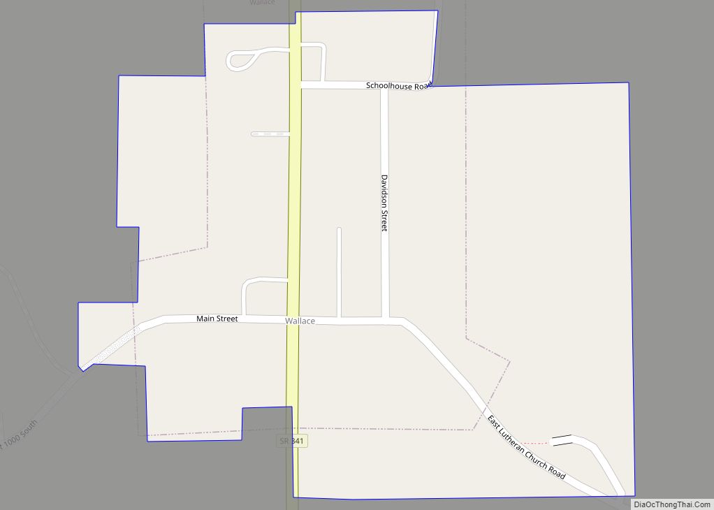
Online Interactive Map
Click on ![]() to view map in "full screen" mode.
to view map in "full screen" mode.
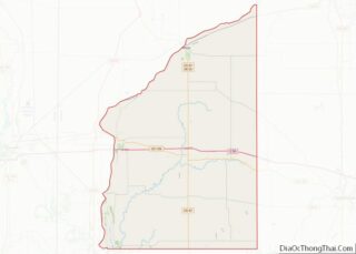
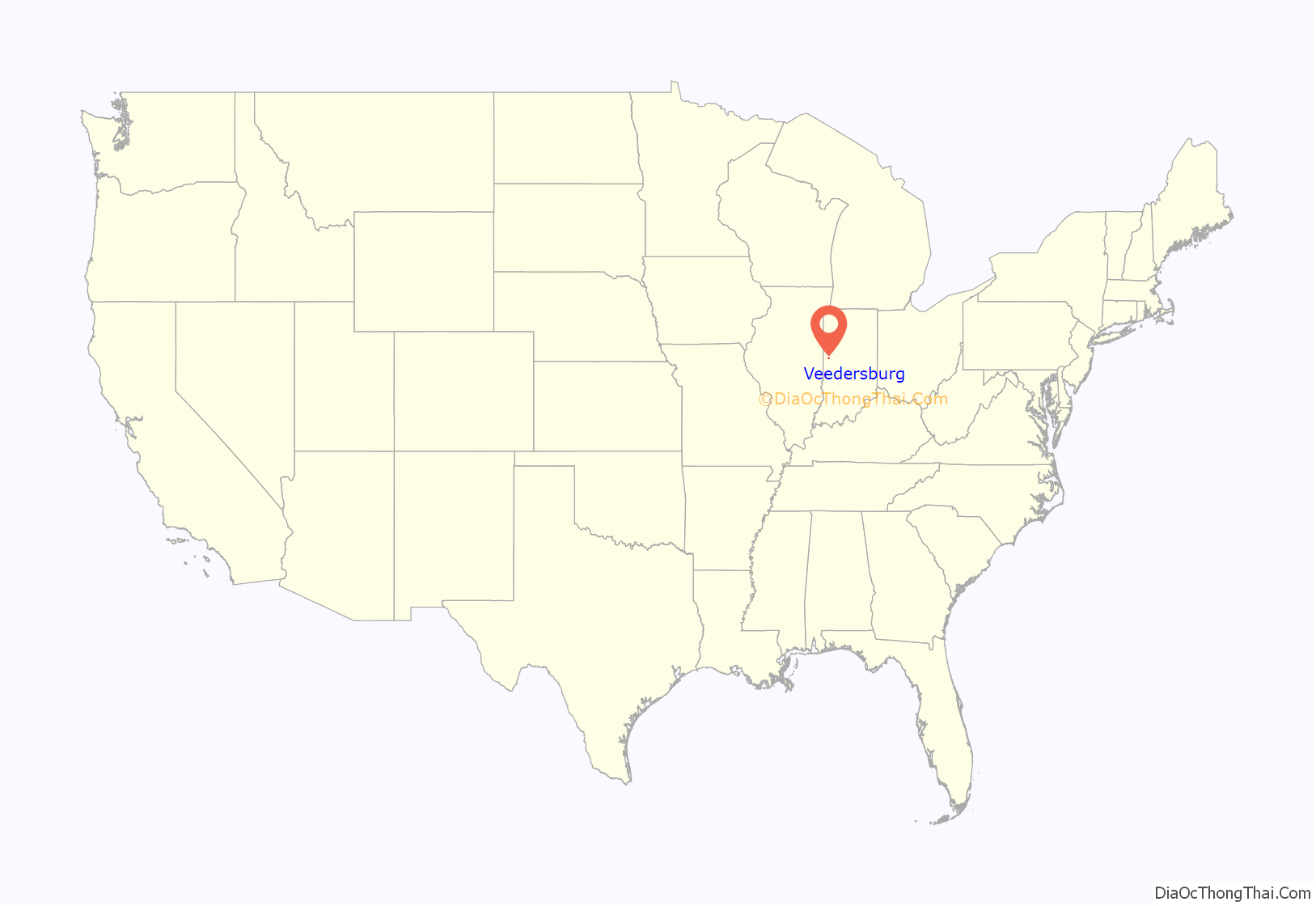
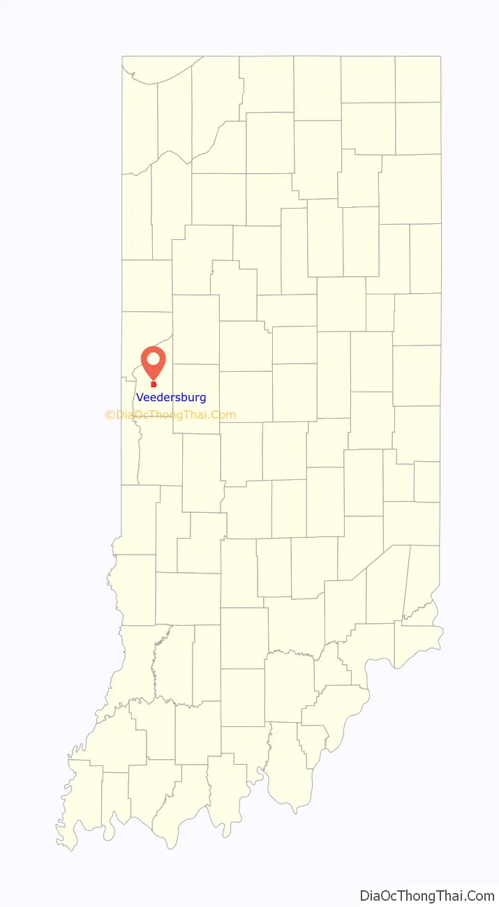
Veedersburg location map. Where is Veedersburg town?
History
Veedersburg is a newer name for the old town of Chambersburg, which was first settled by early inhabitants Jonathan Birch and John Colvert, on the north fork of Coal Creek in the spring of 1823. It was first located in Cain Township, but became part of the newer township of Van Buren in 1841. Veedersburg was founded in 1871. It was named for one of its founders, Peter S. Veeder. Veedersburg was incorporated as a town in 1872.
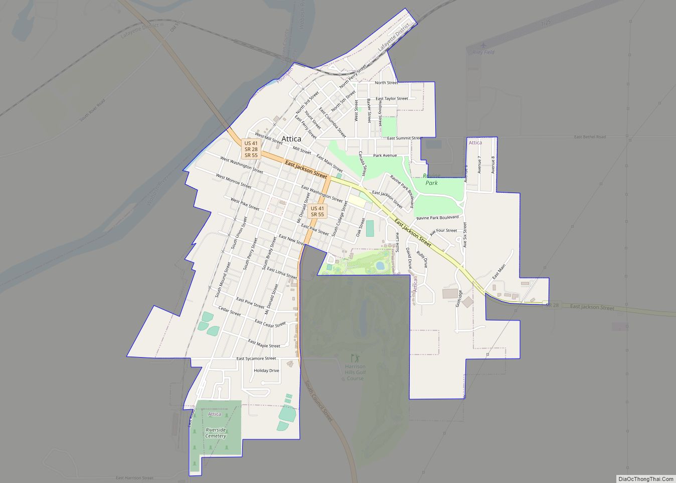
Veedersburg Road Map
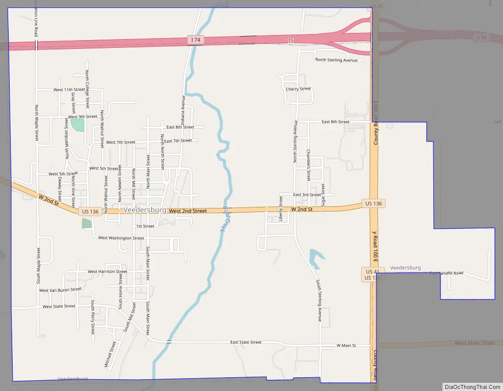
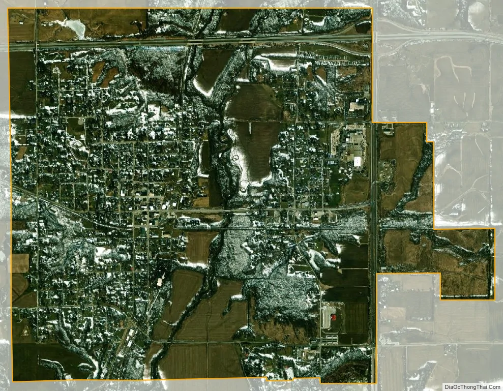
Veedersburg city Satellite Map
See also
Map of Indiana State and its subdivision:- Adams
- Allen
- Bartholomew
- Benton
- Blackford
- Boone
- Brown
- Carroll
- Cass
- Clark
- Clay
- Clinton
- Crawford
- Daviess
- De Kalb
- Dearborn
- Decatur
- Delaware
- Dubois
- Elkhart
- Fayette
- Floyd
- Fountain
- Franklin
- Fulton
- Gibson
- Grant
- Greene
- Hamilton
- Hancock
- Harrison
- Hendricks
- Henry
- Howard
- Huntington
- Jackson
- Jasper
- Jay
- Jefferson
- Jennings
- Johnson
- Knox
- Kosciusko
- LaGrange
- Lake
- Lake Michigan
- LaPorte
- Lawrence
- Madison
- Marion
- Marshall
- Martin
- Miami
- Monroe
- Montgomery
- Morgan
- Newton
- Noble
- Ohio
- Orange
- Owen
- Parke
- Perry
- Pike
- Porter
- Posey
- Pulaski
- Putnam
- Randolph
- Ripley
- Rush
- Saint Joseph
- Scott
- Shelby
- Spencer
- Starke
- Steuben
- Sullivan
- Switzerland
- Tippecanoe
- Tipton
- Union
- Vanderburgh
- Vermillion
- Vigo
- Wabash
- Warren
- Warrick
- Washington
- Wayne
- Wells
- White
- Whitley
- Alabama
- Alaska
- Arizona
- Arkansas
- California
- Colorado
- Connecticut
- Delaware
- District of Columbia
- Florida
- Georgia
- Hawaii
- Idaho
- Illinois
- Indiana
- Iowa
- Kansas
- Kentucky
- Louisiana
- Maine
- Maryland
- Massachusetts
- Michigan
- Minnesota
- Mississippi
- Missouri
- Montana
- Nebraska
- Nevada
- New Hampshire
- New Jersey
- New Mexico
- New York
- North Carolina
- North Dakota
- Ohio
- Oklahoma
- Oregon
- Pennsylvania
- Rhode Island
- South Carolina
- South Dakota
- Tennessee
- Texas
- Utah
- Vermont
- Virginia
- Washington
- West Virginia
- Wisconsin
- Wyoming