Wakarusa is a town in Harrison and Olive townships in Elkhart County, Indiana, United States. The population was 1,758 at the 2010 census.
Wakarusa is a small farming and manufacturing community located on Indiana 19 just north of Indiana 119. The town is 12 miles (19 km) south of Elkhart, 25 miles (40 km) southeast of South Bend, 120 miles (190 km) east of Chicago, and 140 miles (230 km) north of Indianapolis.
The town was in the news on August 5, 2009, following the visit of President Barack Obama to announce that Indiana was to receive US$400 million in federal stimulus funds to help revive the state economy.
| Name: | Wakarusa town |
|---|---|
| LSAD Code: | 43 |
| LSAD Description: | town (suffix) |
| State: | Indiana |
| County: | Elkhart County |
| Elevation: | 840 ft (256 m) |
| Total Area: | 2.28 sq mi (5.91 km²) |
| Land Area: | 2.20 sq mi (5.71 km²) |
| Water Area: | 0.08 sq mi (0.20 km²) |
| Total Population: | 1,998 |
| Population Density: | 906.53/sq mi (350.00/km²) |
| ZIP code: | 46573 |
| Area code: | 574 |
| FIPS code: | 1879478 |
| GNISfeature ID: | 0452499 |
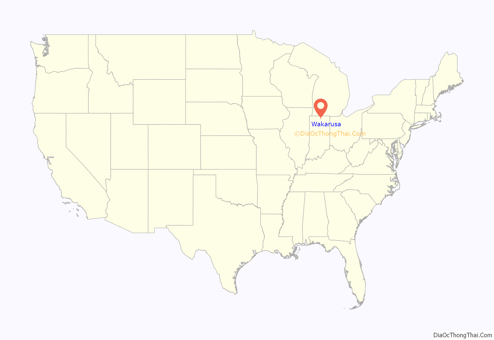
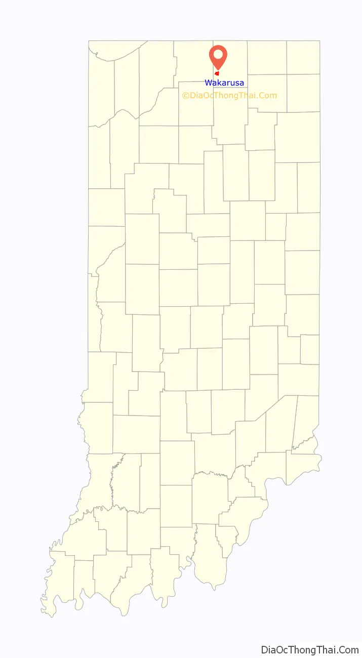
Online Interactive Map
Click on ![]() to view map in "full screen" mode.
to view map in "full screen" mode.
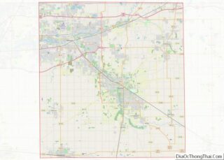
Wakarusa location map. Where is Wakarusa town?
History
In 1836, rural Olive Township was formed in western Elkhart County, and in 1849, as the population grew, a post office named Mt. Olive opened. After more population growth, a new village named Salem was established to prevent people from having to travel to either Goshen or Elkhart to conduct business. Since there is already a town named Salem in Indiana, the name was changed to Wakarusa in 1859. The Mt. Olive Post Office was renamed for Wakarusa a year later.
Railroad – In 1891 work began on the Wabash Railroad line through town, with the official opening of the line in the spring of 1893. The line, which connected Chicago with Montpelier, Ohio, became part of the Norfolk & Western Railway in 1964 and lasted until the 1980s. Today, the original Wabash depot along with two Norfolk & Western rail cars are featured along with many other displays at the Wakarusa Historical Museum.
The etymology of the name “Wakarusa” is not known. According to tradition, the name Wakarusa is from a Native American language, meaning “knee-deep in mud”. A more recent source claims a settler named it after a location in Kansas.
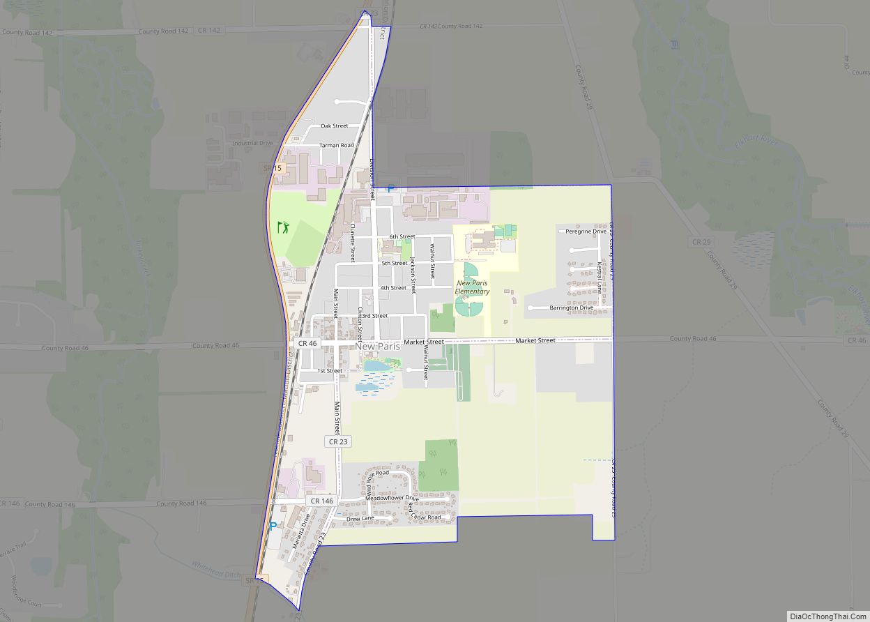
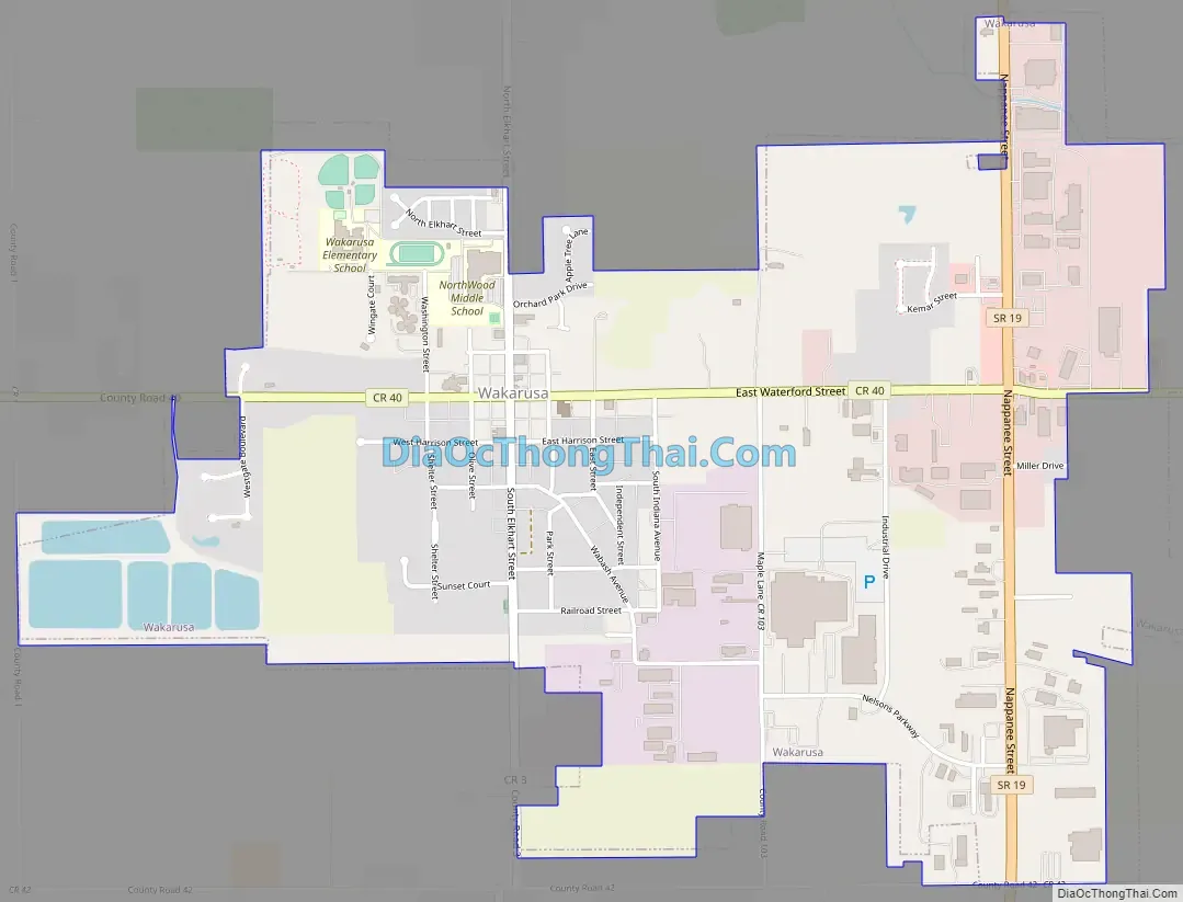
Wakarusa Road Map
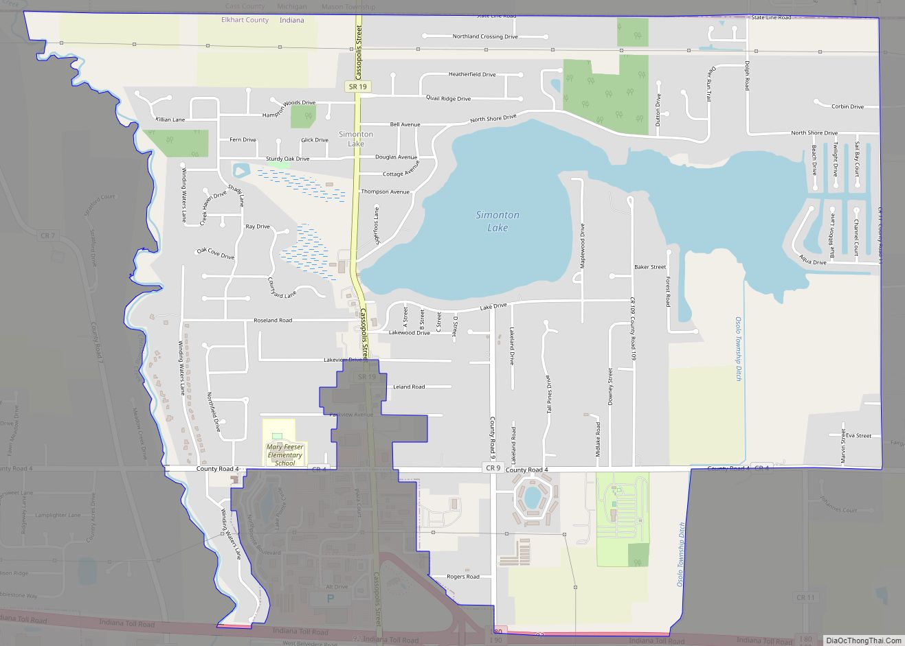
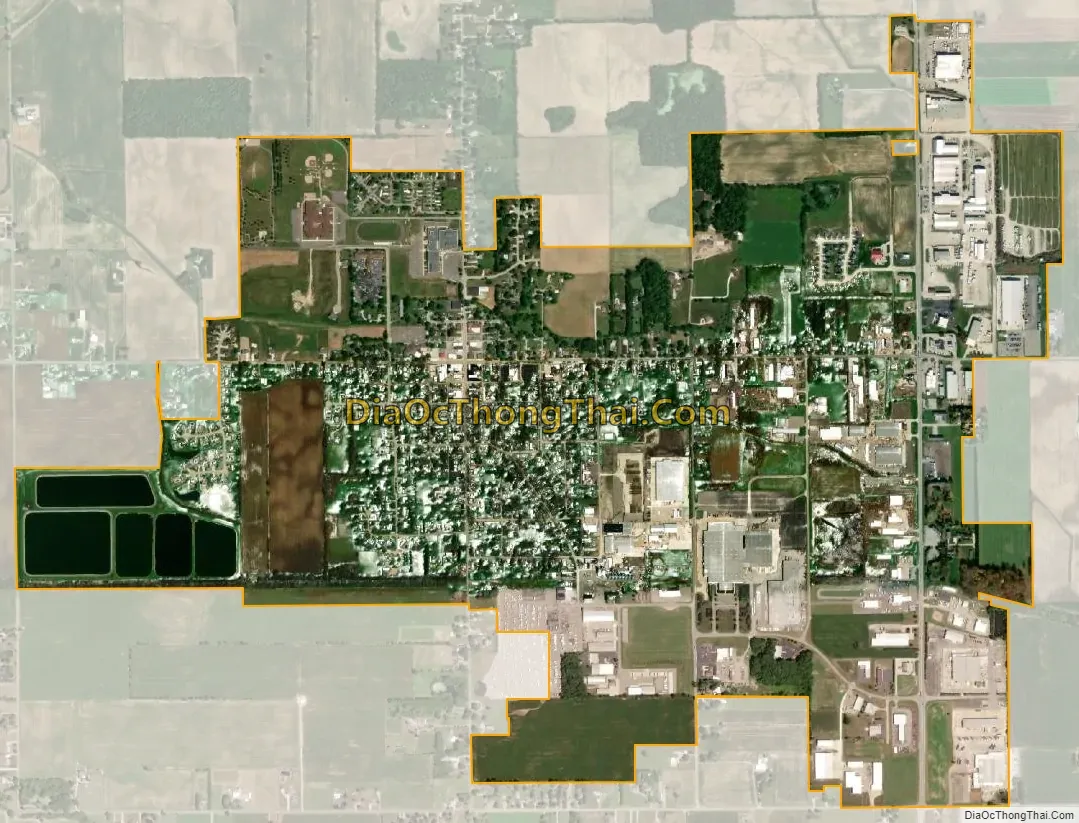
Wakarusa city Satellite Map
Geography
Wakarusa is located at 41°32′4″N 86°0′58″W / 41.53444°N 86.01611°W / 41.53444; -86.01611 (41.534490, -86.016223).
According to the 2010 census, Wakarusa has a total area of 2.277 square miles (5.90 km), of which 2.2 square miles (5.70 km) (or 96.62%) is land and 0.077 square miles (0.20 km) (or 3.38%) is water.
See also
Map of Indiana State and its subdivision:- Adams
- Allen
- Bartholomew
- Benton
- Blackford
- Boone
- Brown
- Carroll
- Cass
- Clark
- Clay
- Clinton
- Crawford
- Daviess
- De Kalb
- Dearborn
- Decatur
- Delaware
- Dubois
- Elkhart
- Fayette
- Floyd
- Fountain
- Franklin
- Fulton
- Gibson
- Grant
- Greene
- Hamilton
- Hancock
- Harrison
- Hendricks
- Henry
- Howard
- Huntington
- Jackson
- Jasper
- Jay
- Jefferson
- Jennings
- Johnson
- Knox
- Kosciusko
- LaGrange
- Lake
- Lake Michigan
- LaPorte
- Lawrence
- Madison
- Marion
- Marshall
- Martin
- Miami
- Monroe
- Montgomery
- Morgan
- Newton
- Noble
- Ohio
- Orange
- Owen
- Parke
- Perry
- Pike
- Porter
- Posey
- Pulaski
- Putnam
- Randolph
- Ripley
- Rush
- Saint Joseph
- Scott
- Shelby
- Spencer
- Starke
- Steuben
- Sullivan
- Switzerland
- Tippecanoe
- Tipton
- Union
- Vanderburgh
- Vermillion
- Vigo
- Wabash
- Warren
- Warrick
- Washington
- Wayne
- Wells
- White
- Whitley
- Alabama
- Alaska
- Arizona
- Arkansas
- California
- Colorado
- Connecticut
- Delaware
- District of Columbia
- Florida
- Georgia
- Hawaii
- Idaho
- Illinois
- Indiana
- Iowa
- Kansas
- Kentucky
- Louisiana
- Maine
- Maryland
- Massachusetts
- Michigan
- Minnesota
- Mississippi
- Missouri
- Montana
- Nebraska
- Nevada
- New Hampshire
- New Jersey
- New Mexico
- New York
- North Carolina
- North Dakota
- Ohio
- Oklahoma
- Oregon
- Pennsylvania
- Rhode Island
- South Carolina
- South Dakota
- Tennessee
- Texas
- Utah
- Vermont
- Virginia
- Washington
- West Virginia
- Wisconsin
- Wyoming