Westville is a town in New Durham Township, LaPorte County, Indiana, United States. The population, as of the 2020 census is 5257. It is included in the Michigan City, Indiana–La Porte, Indiana Metropolitan Statistical Area. Westville is located in Northwest Indiana, also known as The Region.
| Name: | Westville town |
|---|---|
| LSAD Code: | 43 |
| LSAD Description: | town (suffix) |
| State: | Indiana |
| County: | LaPorte County |
| Elevation: | 794 ft (242 m) |
| Total Area: | 3.25 sq mi (8.42 km²) |
| Land Area: | 3.25 sq mi (8.42 km²) |
| Water Area: | 0.00 sq mi (0.00 km²) |
| Total Population: | 5,257 |
| Population Density: | 1,617.04/sq mi (624.34/km²) |
| ZIP code: | 46391 |
| Area code: | 219 |
| FIPS code: | 1883420 |
| GNISfeature ID: | 0445865 |
| Website: | http://www.westville.us |
Online Interactive Map
Click on ![]() to view map in "full screen" mode.
to view map in "full screen" mode.
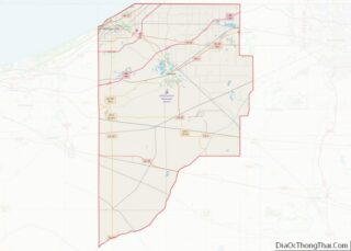
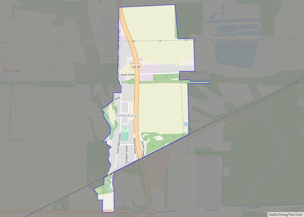
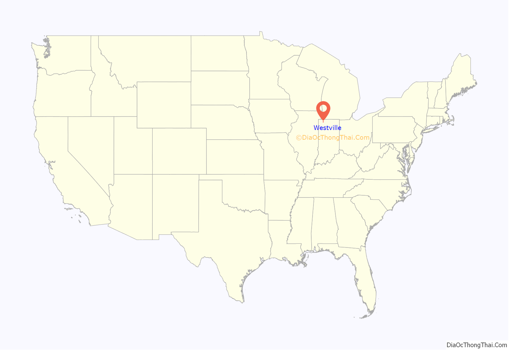
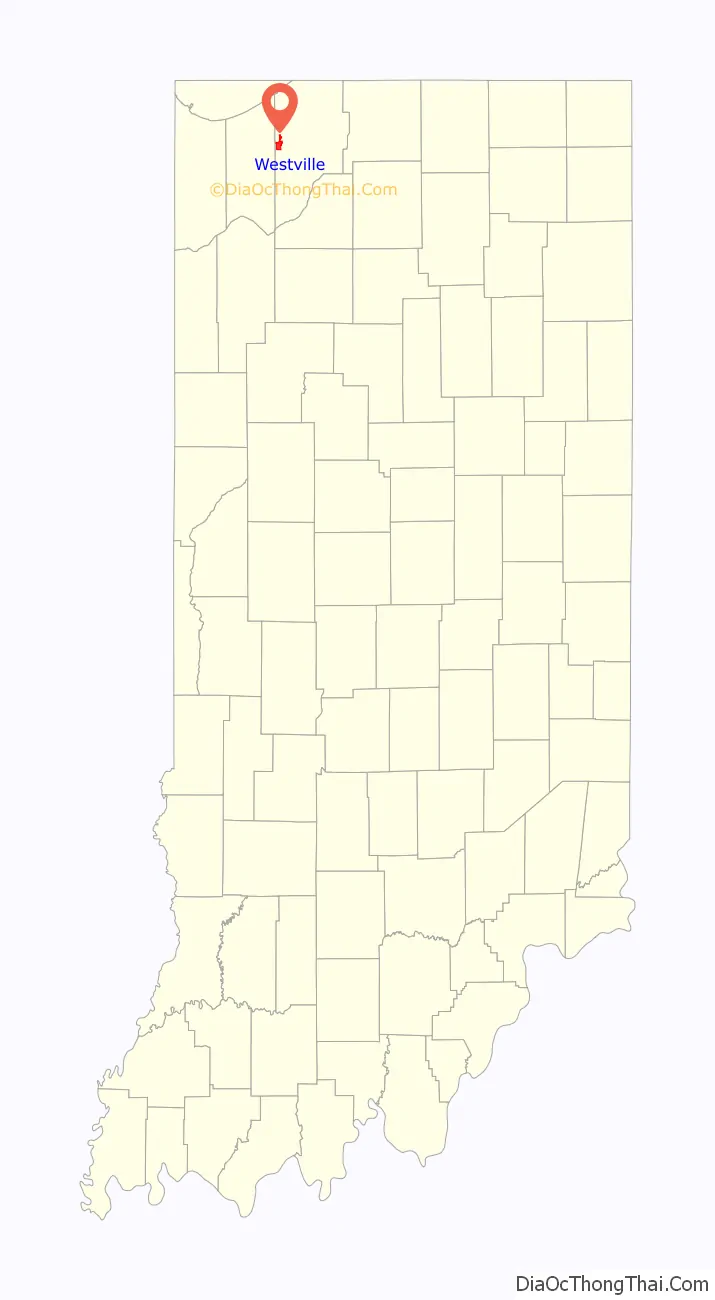
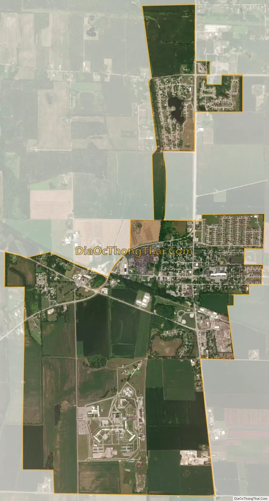
Westville location map. Where is Westville town?
History
Westville was platted in 1851, and incorporated as a town in 1864. It was a station and shipping point at the junction of two railroads.
Rev. John Milton Whitehead lived in Westville at the time of his enlistment as a chaplain in the 15th Indiana Infantry Regiment. Whitehead received the Medal of Honor for his actions at the Battle of Stones River when he “went to the front during a desperate contest and unaided carried to the rear several wounded and helpless soldiers.”
The Everel S. Smith House was listed in the National Register of Historic Places in 1990.
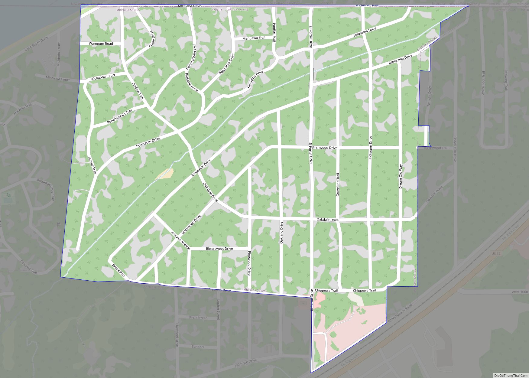
Westville Road Map
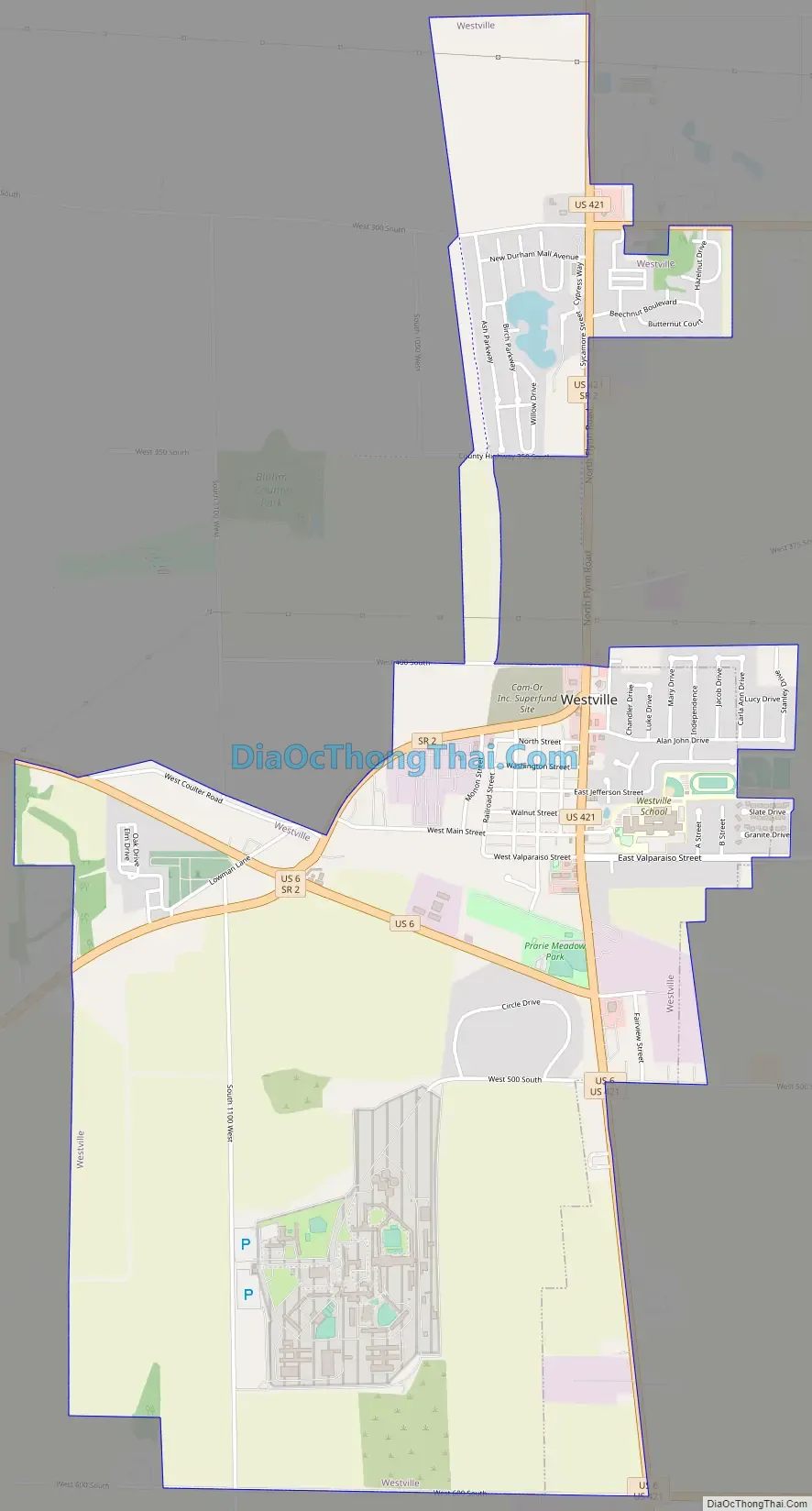
Westville city Satellite Map
Geography
According to the 2010 census, Westville has a total area of 3.09 square miles (8.00 km), all land.
See also
Map of Indiana State and its subdivision:- Adams
- Allen
- Bartholomew
- Benton
- Blackford
- Boone
- Brown
- Carroll
- Cass
- Clark
- Clay
- Clinton
- Crawford
- Daviess
- De Kalb
- Dearborn
- Decatur
- Delaware
- Dubois
- Elkhart
- Fayette
- Floyd
- Fountain
- Franklin
- Fulton
- Gibson
- Grant
- Greene
- Hamilton
- Hancock
- Harrison
- Hendricks
- Henry
- Howard
- Huntington
- Jackson
- Jasper
- Jay
- Jefferson
- Jennings
- Johnson
- Knox
- Kosciusko
- LaGrange
- Lake
- Lake Michigan
- LaPorte
- Lawrence
- Madison
- Marion
- Marshall
- Martin
- Miami
- Monroe
- Montgomery
- Morgan
- Newton
- Noble
- Ohio
- Orange
- Owen
- Parke
- Perry
- Pike
- Porter
- Posey
- Pulaski
- Putnam
- Randolph
- Ripley
- Rush
- Saint Joseph
- Scott
- Shelby
- Spencer
- Starke
- Steuben
- Sullivan
- Switzerland
- Tippecanoe
- Tipton
- Union
- Vanderburgh
- Vermillion
- Vigo
- Wabash
- Warren
- Warrick
- Washington
- Wayne
- Wells
- White
- Whitley
- Alabama
- Alaska
- Arizona
- Arkansas
- California
- Colorado
- Connecticut
- Delaware
- District of Columbia
- Florida
- Georgia
- Hawaii
- Idaho
- Illinois
- Indiana
- Iowa
- Kansas
- Kentucky
- Louisiana
- Maine
- Maryland
- Massachusetts
- Michigan
- Minnesota
- Mississippi
- Missouri
- Montana
- Nebraska
- Nevada
- New Hampshire
- New Jersey
- New Mexico
- New York
- North Carolina
- North Dakota
- Ohio
- Oklahoma
- Oregon
- Pennsylvania
- Rhode Island
- South Carolina
- South Dakota
- Tennessee
- Texas
- Utah
- Vermont
- Virginia
- Washington
- West Virginia
- Wisconsin
- Wyoming