Wilkinson is a town in Brown Township, Hancock County, Indiana, United States. The population was 449 at the 2010 census.
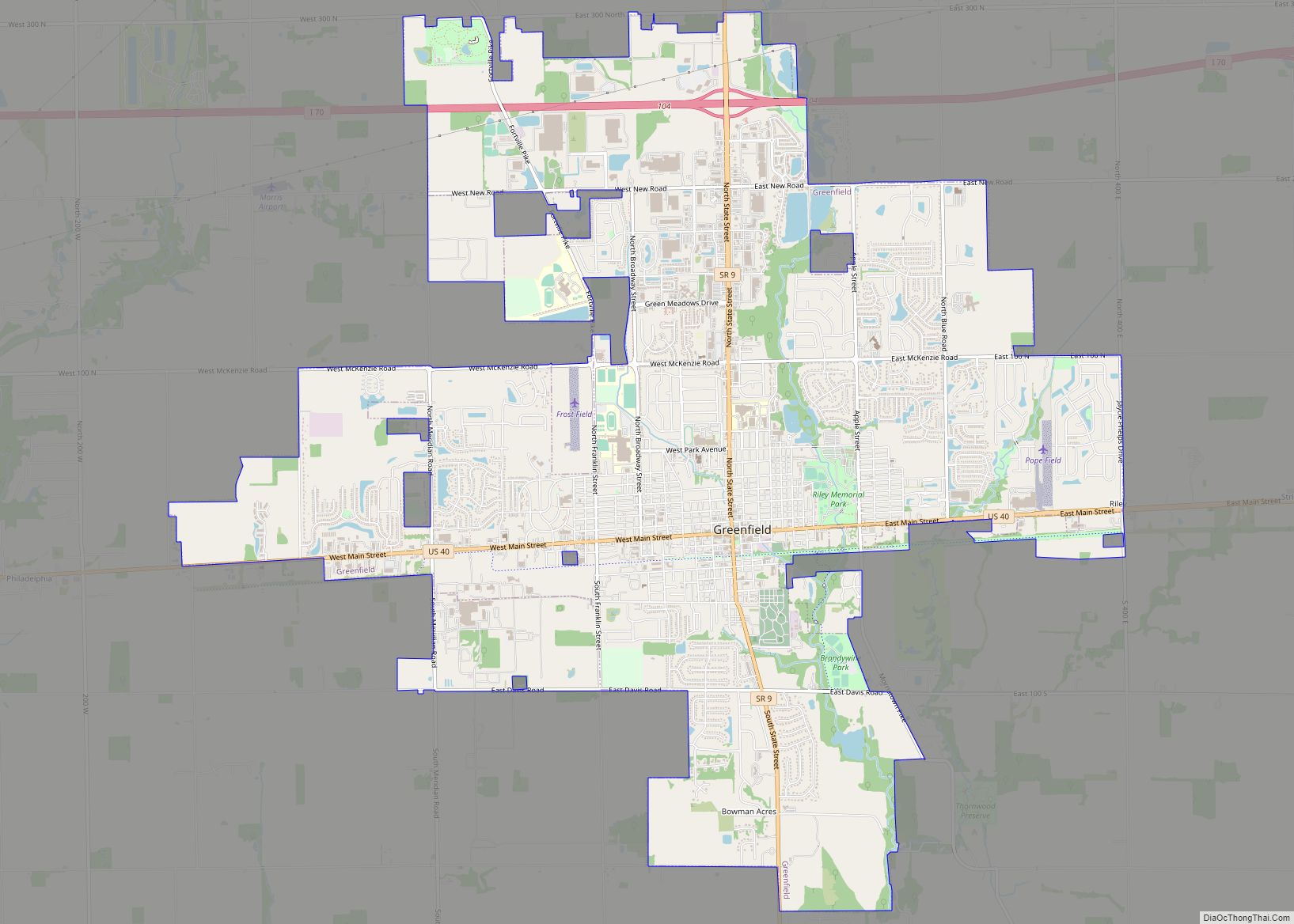
Located in the northeast corner of Hancock County, the town sits along Indiana State Road 109, which runs north to Anderson and south to I-70 and Knightstown. Wilkinson is about 30 miles east of Indianapolis, and about 12 miles northeast of Greenfield.
| Name: | Wilkinson town |
|---|---|
| LSAD Code: | 43 |
| LSAD Description: | town (suffix) |
| State: | Indiana |
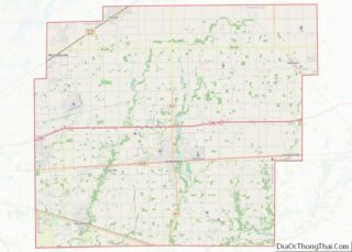
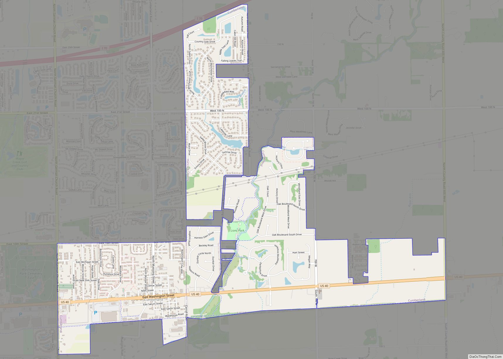
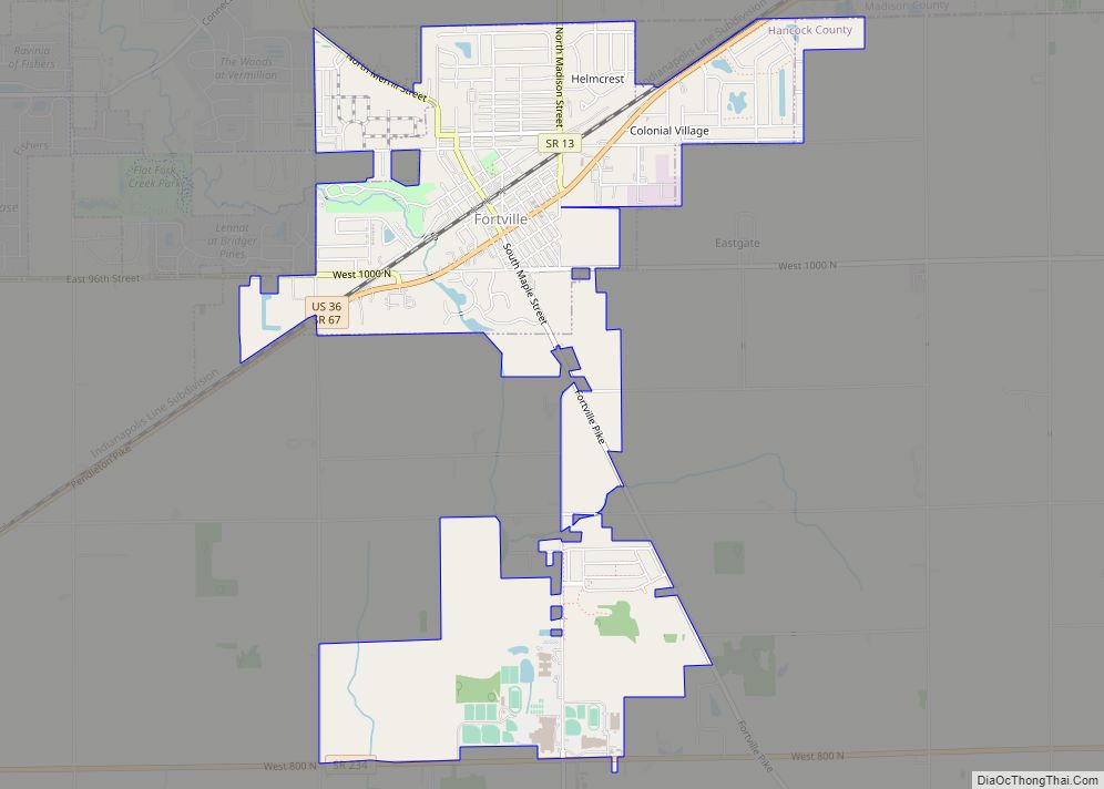
| County: | Hancock County |
| Elevation: | 1,001 ft (305 m) |
| Total Area: | 0.19 sq mi (0.49 km²) |
| Land Area: | 0.19 sq mi (0.49 km²) |
| Water Area: | 0.00 sq mi (0.00 km²) |
| Total Population: | 414 |
| Population Density: | 2,178.95/sq mi (841.09/km²) |
| ZIP code: | 46186 |
| Area code: | 765 |
| FIPS code: | 1884302 |
| GNISfeature ID: | 0446041 |
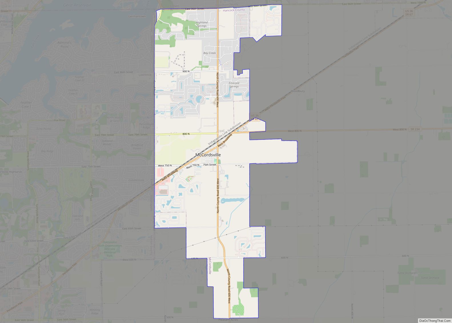
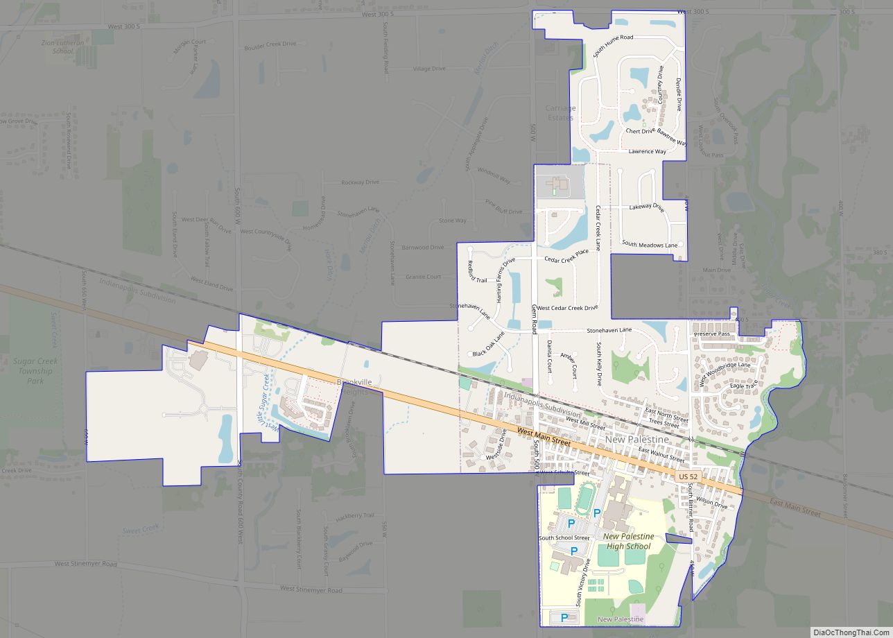
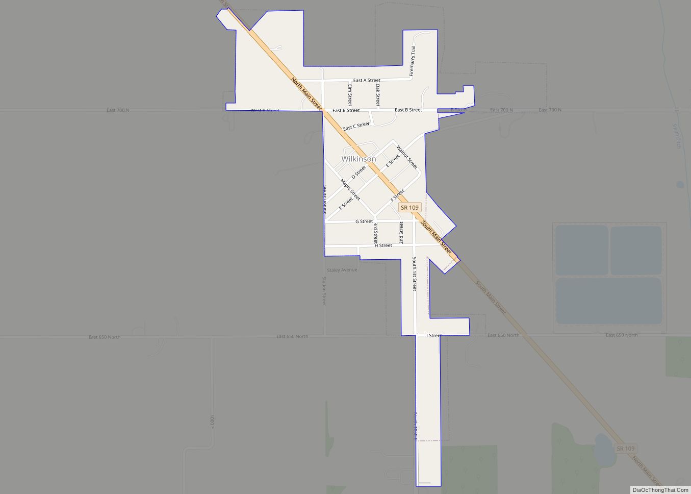
Online Interactive Map
Click on ![]() to view map in "full screen" mode.
to view map in "full screen" mode.
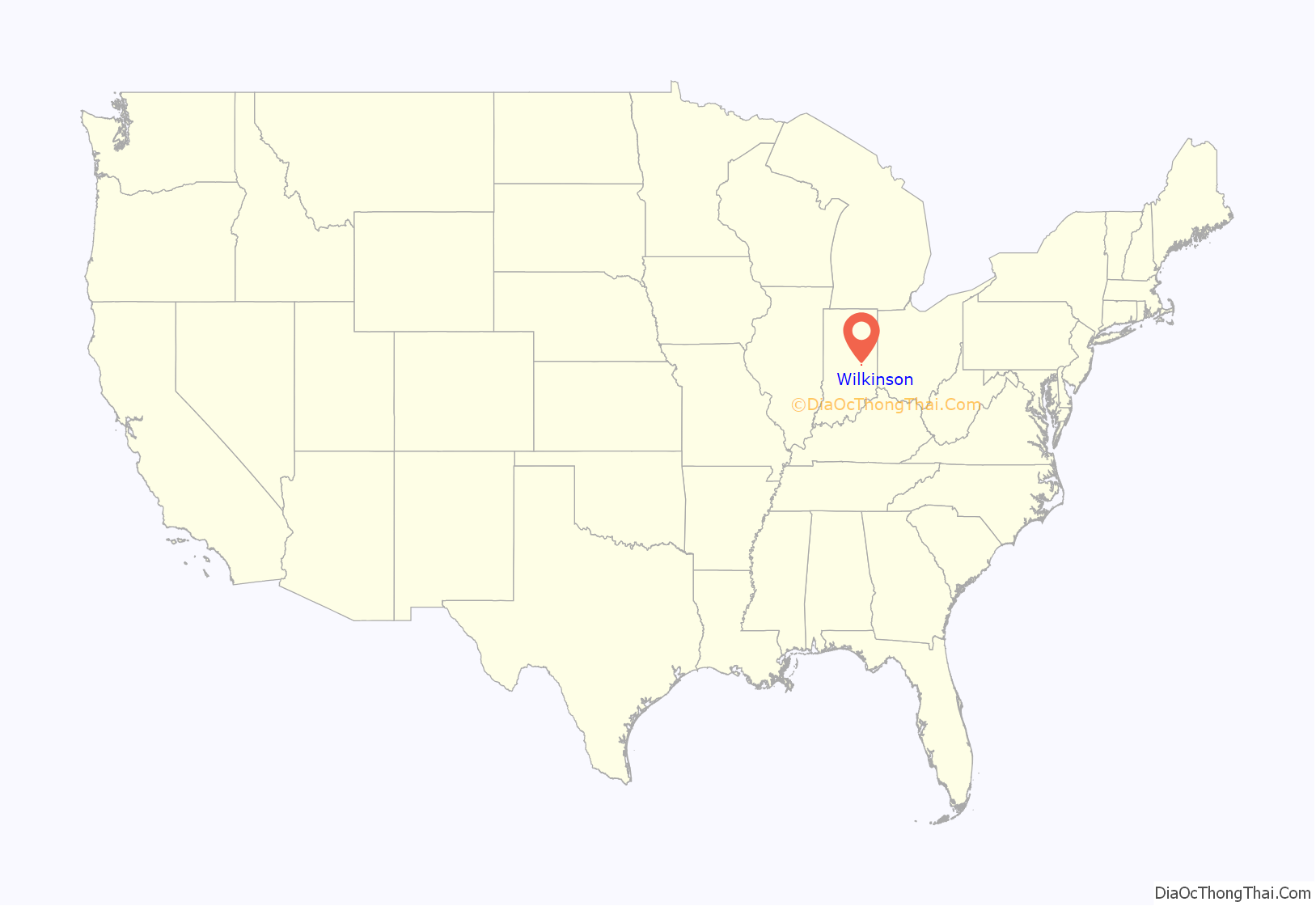
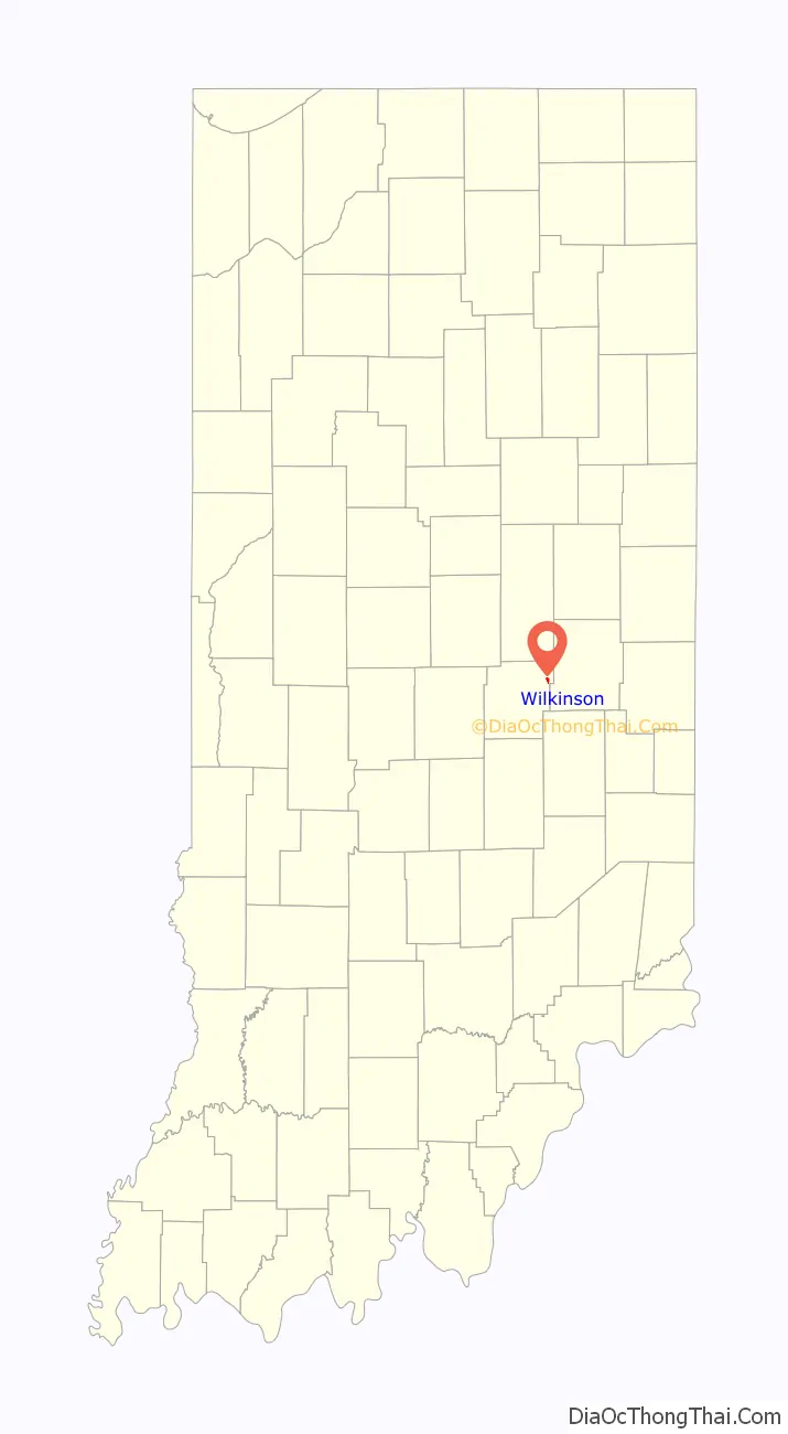
Wilkinson location map. Where is Wilkinson town?
History
Wilkinson was platted in 1883 by Elnathan and Thomas B. Wilkinson. The Wilkinson post office was established in 1883.
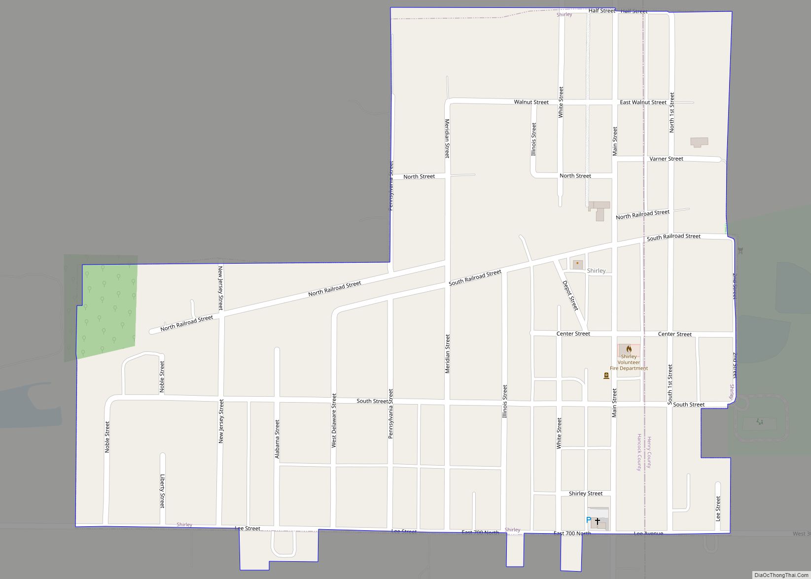
Wilkinson Road Map
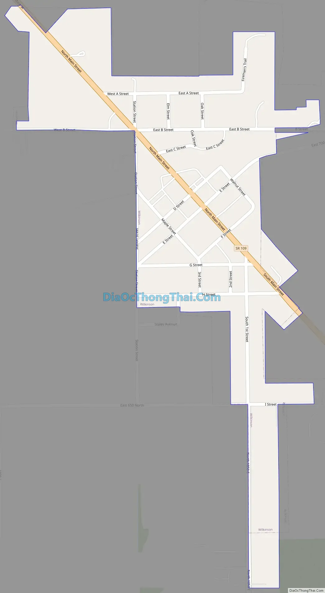
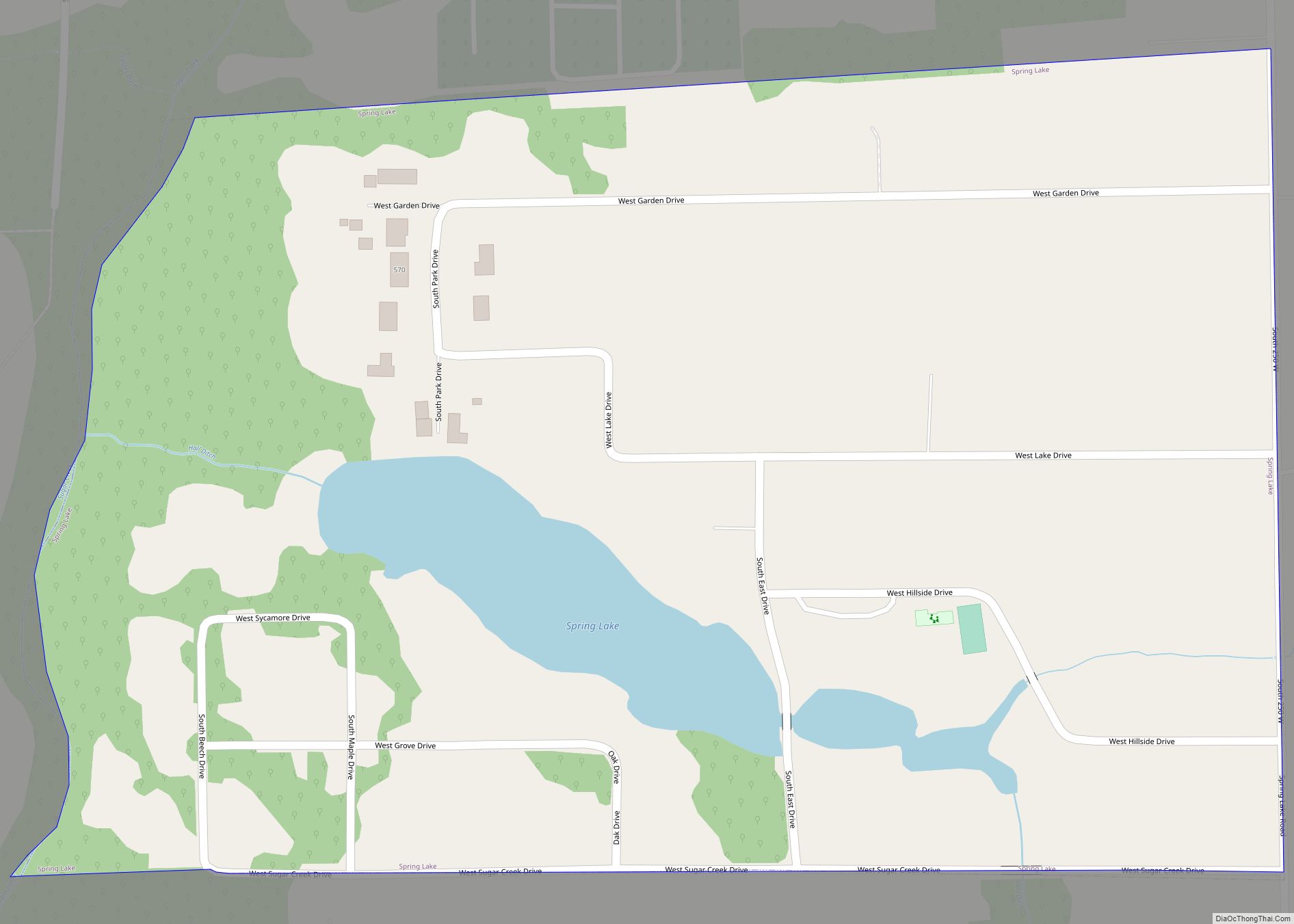
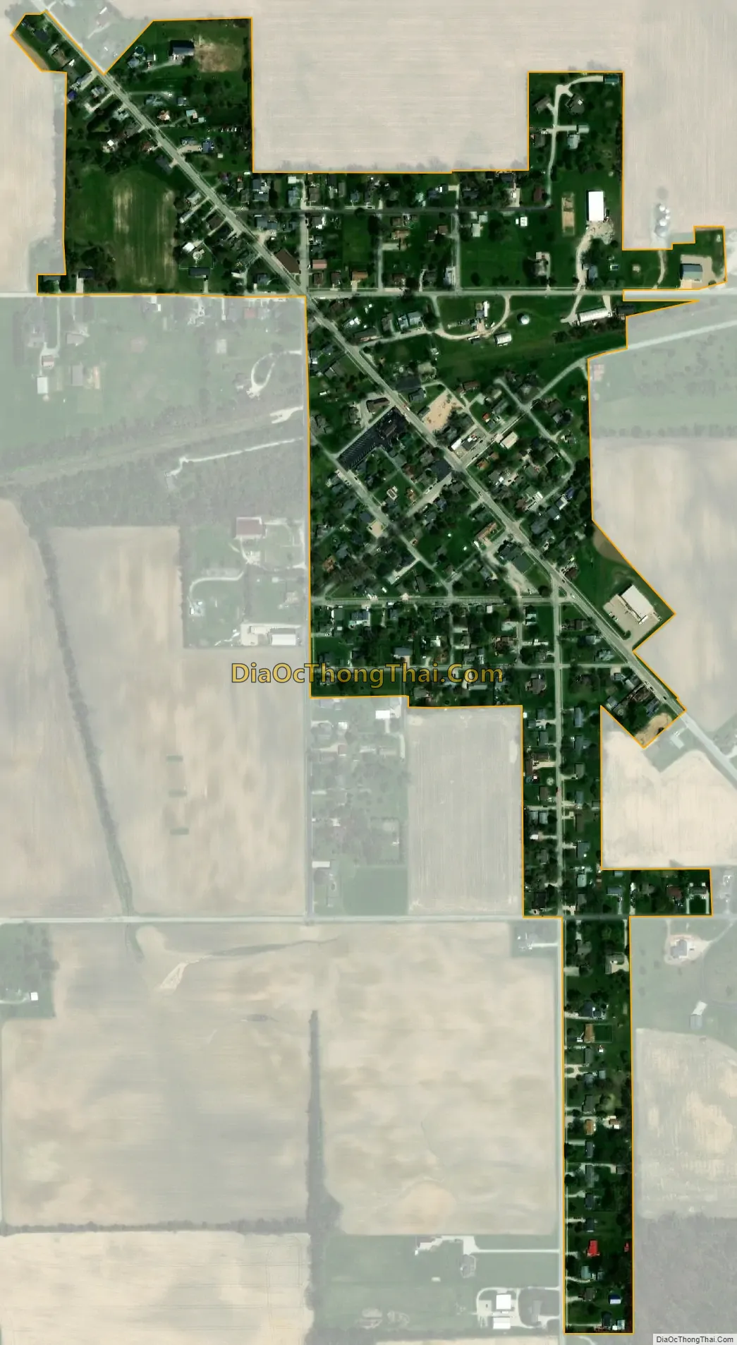
Wilkinson city Satellite Map
Geography
Wilkinson is located at 39°53′5″N 85°36′30″W / 39.88472°N 85.60833°W / 39.88472; -85.60833 (39.884810, -85.608241).
According to the 2010 census, Wilkinson has a total area of 0.23 square miles (0.60 km), all land.
See also
Map of Indiana State and its subdivision:- Adams
- Allen
- Bartholomew
- Benton
- Blackford
- Boone
- Brown
- Carroll
- Cass
- Clark
- Clay
- Clinton
- Crawford
- Daviess
- De Kalb
- Dearborn
- Decatur
- Delaware
- Dubois
- Elkhart
- Fayette
- Floyd
- Fountain
- Franklin
- Fulton
- Gibson
- Grant
- Greene
- Hamilton
- Hancock
- Harrison
- Hendricks
- Henry
- Howard
- Huntington
- Jackson
- Jasper
- Jay
- Jefferson
- Jennings
- Johnson
- Knox
- Kosciusko
- LaGrange
- Lake
- Lake Michigan
- LaPorte
- Lawrence
- Madison
- Marion
- Marshall
- Martin
- Miami
- Monroe
- Montgomery
- Morgan
- Newton
- Noble
- Ohio
- Orange
- Owen
- Parke
- Perry
- Pike
- Porter
- Posey
- Pulaski
- Putnam
- Randolph
- Ripley
- Rush
- Saint Joseph
- Scott
- Shelby
- Spencer
- Starke
- Steuben
- Sullivan
- Switzerland
- Tippecanoe
- Tipton
- Union
- Vanderburgh
- Vermillion
- Vigo
- Wabash
- Warren
- Warrick
- Washington
- Wayne
- Wells
- White
- Whitley
- Alabama
- Alaska
- Arizona
- Arkansas
- California
- Colorado
- Connecticut
- Delaware
- District of Columbia
- Florida
- Georgia
- Hawaii
- Idaho
- Illinois
- Indiana
- Iowa
- Kansas
- Kentucky
- Louisiana
- Maine
- Maryland
- Massachusetts
- Michigan
- Minnesota
- Mississippi
- Missouri
- Montana
- Nebraska
- Nevada
- New Hampshire
- New Jersey
- New Mexico
- New York
- North Carolina
- North Dakota
- Ohio
- Oklahoma
- Oregon
- Pennsylvania
- Rhode Island
- South Carolina
- South Dakota
- Tennessee
- Texas
- Utah
- Vermont
- Virginia
- Washington
- West Virginia
- Wisconsin
- Wyoming