Shallotte (/ʃəˈloʊt/ shə-LOHT) is a town in Brunswick County, North Carolina, United States. The population was 3,675 at the 2010 census. The Shallotte River passes through the town.
| Name: | Shallotte town |
|---|---|
| LSAD Code: | 43 |
| LSAD Description: | town (suffix) |
| State: | North Carolina |
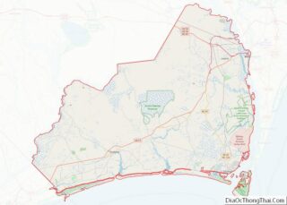
| County: | Brunswick County |
| Incorporated: | 1899 |
| Total Area: | 9.30 sq mi (24.10 km²) |
| Land Area: | 9.24 sq mi (23.93 km²) |
| Water Area: | 0.06 sq mi (0.16 km²) |
| Total Population: | 4,185 |
| Population Density: | 452.92/sq mi (174.86/km²) |
| ZIP code: | 28470 |
| FIPS code: | 3760800 |
| Website: | www.townofshallotte.org |
Online Interactive Map
Click on ![]() to view map in "full screen" mode.
to view map in "full screen" mode.
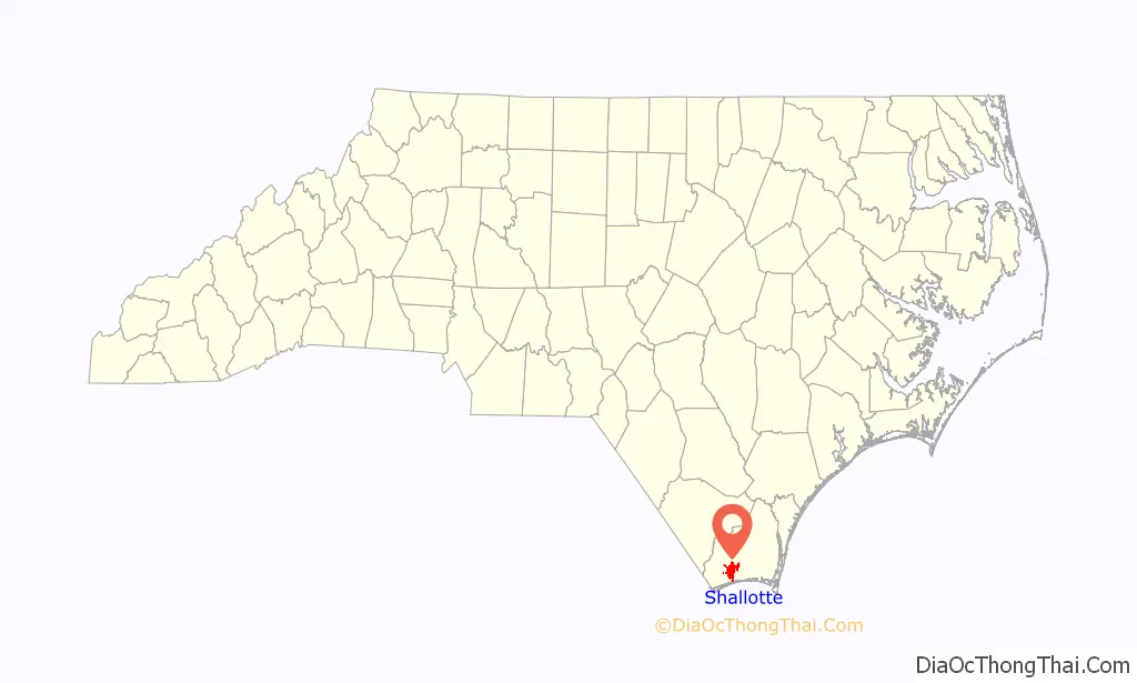
Shallotte location map. Where is Shallotte town?

History
Shallotte was incorporated as a town in 1899.
A former Hardee’s restaurant, located on Main Street, was used as a filming location for the robbery scene in the Melissa McCarthy film Tammy. It was demolished in 2017 and a Zaxby’s was built in the same lot in the early summer of 2017.
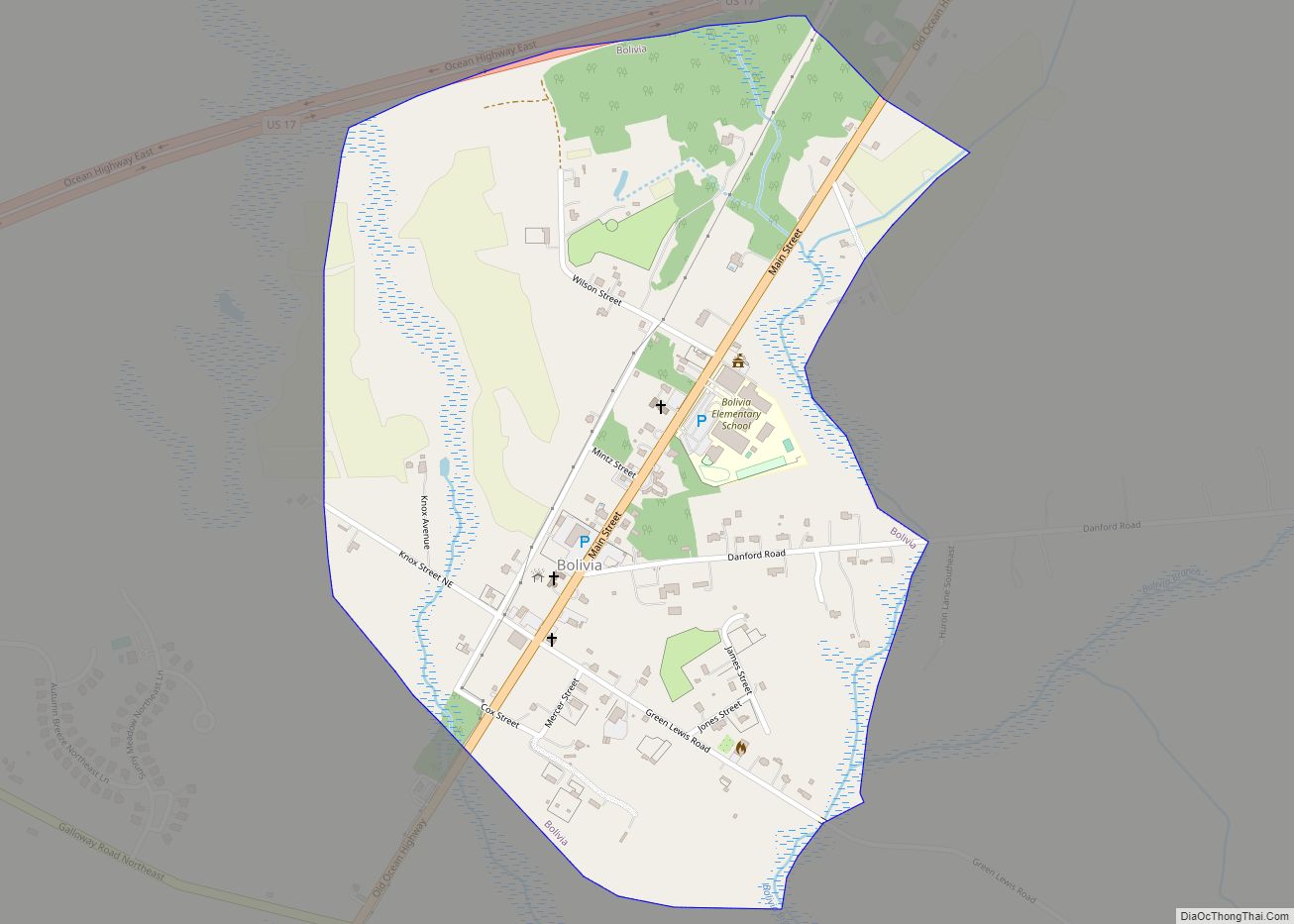
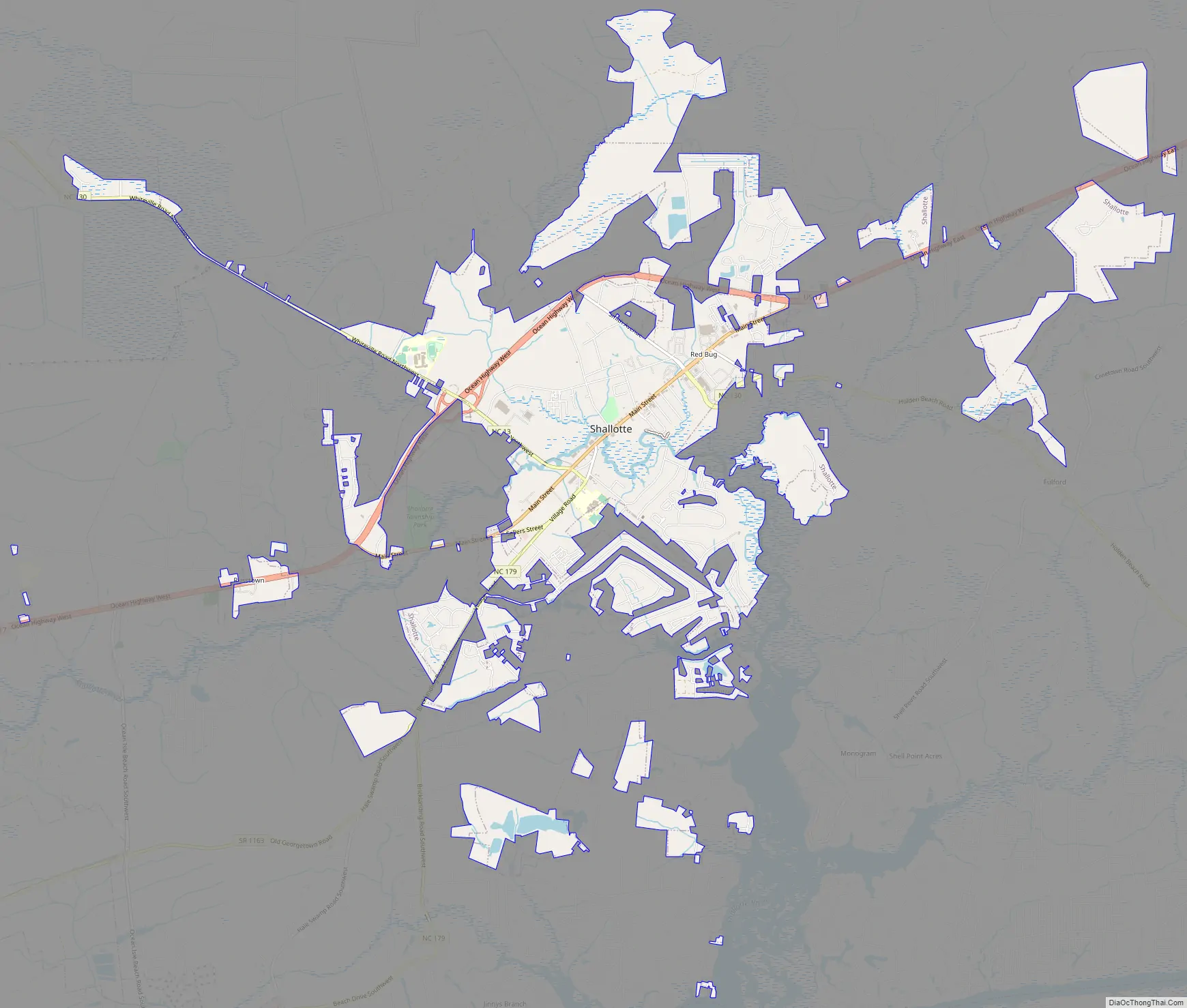
Shallotte Road Map
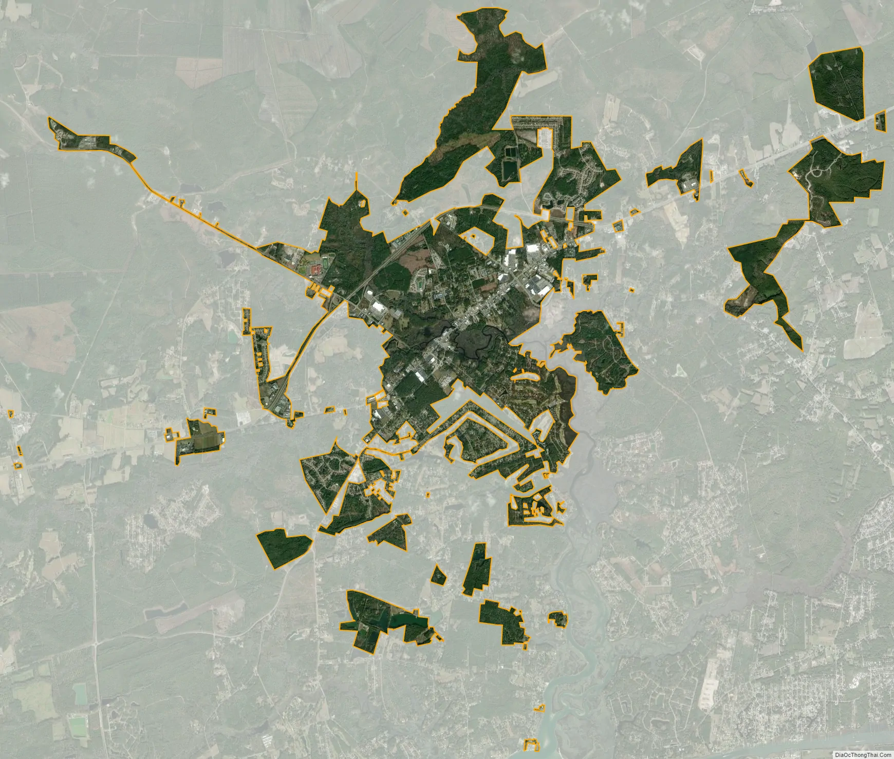
Shallotte city Satellite Map
Geography
Shallotte is located in west-central Brunswick County at 33°58′37″N 78°23′33″W / 33.97694°N 78.39250°W / 33.97694; -78.39250 (33.977030, -78.392517). U.S. Route 17 (Ocean Highway) passes through the town, bypassing the town center to the northwest. (Main Street is designated US 17 Business.) US 17 leads northeast 33 miles (53 km) to Wilmington and southwest 38 miles (61 km) to Myrtle Beach, South Carolina.
According to the United States Census Bureau, the town has a total area of 9.3 square miles (24.2 km), of which 9.3 square miles (24.1 km) is land and 0.08 square miles (0.2 km), or 0.72%, is water.
See also
Map of North Carolina State and its subdivision:- Alamance
- Alexander
- Alleghany
- Anson
- Ashe
- Avery
- Beaufort
- Bertie
- Bladen
- Brunswick
- Buncombe
- Burke
- Cabarrus
- Caldwell
- Camden
- Carteret
- Caswell
- Catawba
- Chatham
- Cherokee
- Chowan
- Clay
- Cleveland
- Columbus
- Craven
- Cumberland
- Currituck
- Dare
- Davidson
- Davie
- Duplin
- Durham
- Edgecombe
- Forsyth
- Franklin
- Gaston
- Gates
- Graham
- Granville
- Greene
- Guilford
- Halifax
- Harnett
- Haywood
- Henderson
- Hertford
- Hoke
- Hyde
- Iredell
- Jackson
- Johnston
- Jones
- Lee
- Lenoir
- Lincoln
- Macon
- Madison
- Martin
- McDowell
- Mecklenburg
- Mitchell
- Montgomery
- Moore
- Nash
- New Hanover
- Northampton
- Onslow
- Orange
- Pamlico
- Pasquotank
- Pender
- Perquimans
- Person
- Pitt
- Polk
- Randolph
- Richmond
- Robeson
- Rockingham
- Rowan
- Rutherford
- Sampson
- Scotland
- Stanly
- Stokes
- Surry
- Swain
- Transylvania
- Tyrrell
- Union
- Vance
- Wake
- Warren
- Washington
- Watauga
- Wayne
- Wilkes
- Wilson
- Yadkin
- Yancey
- Alabama
- Alaska
- Arizona
- Arkansas
- California
- Colorado
- Connecticut
- Delaware
- District of Columbia
- Florida
- Georgia
- Hawaii
- Idaho
- Illinois
- Indiana
- Iowa
- Kansas
- Kentucky
- Louisiana
- Maine
- Maryland
- Massachusetts
- Michigan
- Minnesota
- Mississippi
- Missouri
- Montana
- Nebraska
- Nevada
- New Hampshire
- New Jersey
- New Mexico
- New York
- North Carolina
- North Dakota
- Ohio
- Oklahoma
- Oregon
- Pennsylvania
- Rhode Island
- South Carolina
- South Dakota
- Tennessee
- Texas
- Utah
- Vermont
- Virginia
- Washington
- West Virginia
- Wisconsin
- Wyoming