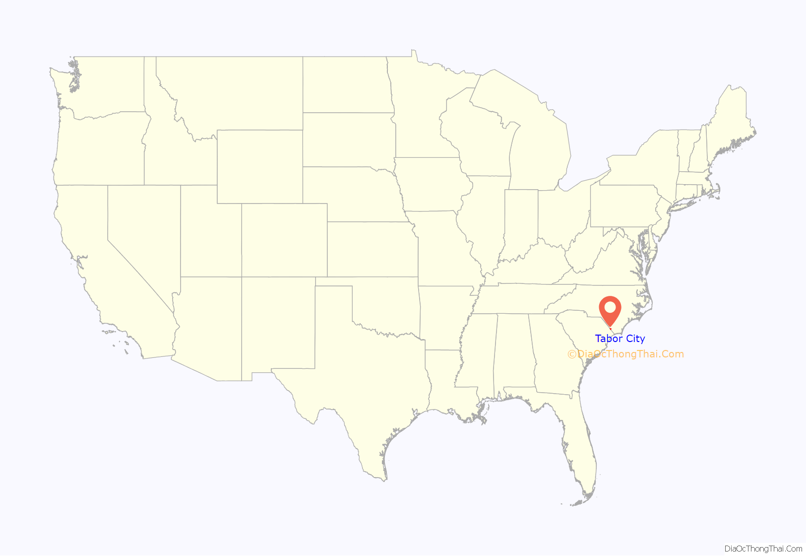
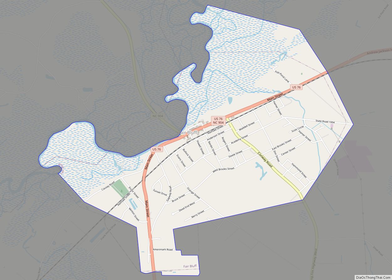
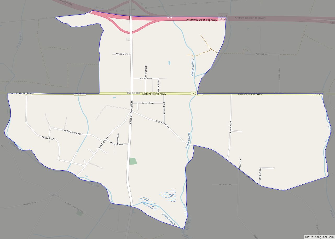
Tabor City is a town in Columbus County, North Carolina, United States. It is the southernmost town in the county. It is located just north of the North Carolina/South Carolina line, about 39 miles (63 km) north of Myrtle Beach, South Carolina, and is just north of Loris, South Carolina. The population was 2,511 as of the 2010 census.
| Name: | Tabor City town |
|---|---|
| LSAD Code: | 43 |
| LSAD Description: | town (suffix) |
| State: | North Carolina |
| County: | Columbus County |
| Elevation: | 105 ft (32 m) |
| Total Area: | 3.37 sq mi (8.72 km²) |
| Land Area: | 3.36 sq mi (8.71 km²) |
| Water Area: | 0.00 sq mi (0.01 km²) |
| Total Population: | 3,781 |
| Population Density: | 1,124.63/sq mi (434.17/km²) |
| ZIP code: | 28463 |
| FIPS code: | 3766520 |
| GNISfeature ID: | 0995822 |
| Website: | townoftaborcity.org |
Online Interactive Map
Click on ![]() to view map in "full screen" mode.
to view map in "full screen" mode.
Tabor City location map. Where is Tabor City town?
History
Pre-European
According to Swanton (1952), before the arrival of the Europeans, the area was home to the Cape Fear Indians, the Waccamaw Indians, and the Saponas.
1670s–1830s
During the Revolutionary War, men from the area joined with the rebels in the Battle of Brown Marsh. The Loyalists won, marking the high point of their efforts to defeat the revolution in the southern theater. Men from the area may have also aided the American forces in the Battle of Moore’s Creek Bridge, which had a much more favorable outcome for the Americans. The Siege of Charleston saw troops from the coastal Carolinas unsuccessfully defend the city from the British.
Early settlers in the area farmed, raised cattle & pigs, and manufactured naval stores. From the longleaf pine trees come products used in shipbuilding. These products or “stores” are turpentine, rosin, tar and pitch. Pitch was needed to coat the hulls of ships to protect them in tropical waters.
Camp meetings filled an ecclesiastical and spiritual need in the unchurched settlements. The Honey Camp meeting site (which became the Green Sea Baptist Church) was one of the first large camp meetings in the region at nearby Green Sea, South Carolina. Population increased and settlement moved inland, which led to the founding of a congregation in the area just north of the state border. Around 1837, the congregation of Mt. Tabor Baptist Church erected their first building, constructed of logs.
1830s–1930s
The original community took its name from the first prominent church in the area, the Mount Tabor Baptist Church(now the Tabor City Baptist Church), which itself is named after the biblical Mount Tabor, and was founded in 1838. A village coalesced around the area of the church which was organized as a town shortly after 1840. The town officially incorporated in 1904. The church was originally located near the intersection of what is now Stake Road and East 5th Street.
Business activity started in Tabor City by the mid-1850s, with the development of a saw mill, turpentine still, grocery store and dry goods store. The Atlantic Coast Line Railroad located a station in the town in 1886. The turpentine industry was huge in the area throughout the 19th Century. Many wagonloads of turpentine, rosin and pitch were carried to the rail station in Grist, NC, for shipment to Wilmington, North Carolina and other environs. The town was officially incorporated in 1905. In 1906, William Fowler donated land for the Tabor City Baptist Church, at the site which has been in continuous use since the completion of the construction and is still currently in use, as of April 2023. The new church and sanctuary was completed in 1908.
Mt. Tabor residents were greatly affected by the American Civil War. Many volunteered when the war began and many more were conscripted to fill the ranks as the war decimated the combatants. Men from the area were mainly in two different groups. At war’s beginning, eager young men joined Capt. John B. Stanly’s Co.(Columbus Guards # 4), 10th Regt NC Infantry (Volunteers), which became Co D, 20th North Carolina Infantry Regiment, NC State Troops, which participated in most of the major battles in the Virginia theater. At Gettysburg, Pennsylvania, more than sixty-five percent of the regiment were casualties, either from wounds or death. Older men were later conscripted into Co. G, 51st NC Infantry Regiment, which performed garrison duty at forts in the Charleston, South Carolina area and Fort Fisher. It also saw limited action in several of the campaigns in eastern Virginia. Townsmen participated in most of the large battles of the Eastern Theater of the war, fighting in the Carolinas and Virginia. In 1865, William T. Sherman’s army passed through the area, with outriders foraging for foodstuffs and supplies. The blue columns crossed the Pee Dee River, the Lumber River, and the Cape Fear River, with the cavalry scouting ahead. Mt. Tabor was not spared by Sherman’s foragers. Dozens of men never returned home. Widow’s weeds were a common sight in this area. Census records in 1870 and 1880 show many households run by widows in South Williams Township.
Strawberries became an important crop in the 1880s when the development of the railroad enabled them to be shipped to markets in the big cities. The Anderson Shingle Company made shipping containers for strawberries. In 1910, Bishop Anderson sold out to W.B. Roberts and David James (Dave) Hughes, three years later Dave Hughes bought out Mr. Robert’s interest and it became D.J. Hughes & Company “Manufacturers of Anderson Make Strawberry, Cantaloupe, Peach and Grape Crates, Boxes Made to Order, and Lumber,” with a yearly output of 150,000 crates.
Cotton fell out of favor when boll weevils negatively impacted crop production. Tobacco became the golden crop and the Border Belt produced prime flue-cured leaf for tobacco companies around the world. The first tobacco warehouse was built in 1909, which became a major industry for both the town and the surrounding area. By 1925, the town had several tobacco auction warehouses, two tobacco re-drying warehouses, and a tobacco prizery(a packing plant where tobacco was packed into hogsheads for shipment to tobacco companies in Virginia), all within a block of the railroad tracks. The dominance of tobacco in the community continued until the 1990s. By 2022, only a few largescale farmers still grow tobacco in the area.
The First World War took men from the town and deposited them in the trenches of France where they helped the Allied Forces achieve victory against the Central Powers.
Originally named ‘Mt. Tabor’, many would shorten the name to ‘Tabor’ when writing correspondence. With mail delivery by the USPS, Tabor would be confused with Tarboro, North Carolina due to the similarities in spelling. By 1935, US Postal authorities demanded a name change and since Tarboro was much larger, Mt Tabor was told to pick another name. The town denizens picked Tabor City as they expected phenomenal growth for the future of this tiny village.
In May 1925, there were no paved streets, no fire department, nor a municipal water supply. Businesses included: a crate factory, several tobacco industries, a power plant, churches, train station, US Post Office, a hotel, a telephone exchange, many businesses, a prizery(tobacco packing house), agricultural, commercial, and industrial warehouses, a grist mill, a concert hall, and schools. Tobacco was the main industry.
During the later 1920s, a boarding house opened, often the choice of traveling businessmen, tobacco buyers, and hunters. The owner of the business, would cook for her guests, leaving the pots on the stove for the boarders to serve themselves. A night’s stay, including supper and breakfast was $2.00 per day. The business was operated by the family for three generations. The original buildings burned in 1971 and were rebuilt, operating with monthly rental units and a restaurant until 2018. It is now an event venue under new owners.
By February 1934, the face of downtown was formed. A modern-day person would recognize many familiar buildings that appear on the Sanborn Fire Insurance Co. maps of the town for that year. There was a municipal-owned water source from a deep well. A 75,000 gal elevated water tank on a 75 ft steel tower rose above the town. There was one mile of 6″ & 8″ water lines, giving 45 lbs of domestic & fire water pressure. Businesses noted on those maps included: factories, commercial, and agricultural warehouses, churches, many commercial enterprises, schools, movie theatre, US Post Office, a town hall, a waterworks plant & water tower. Tobacco was the main industry.
1940s–1970s
The Second World War saw many young men of the town face combat in both the European and Pacific Theaters of war. The war economy brought prosperity to the town and saw an expansion of new businesses began by war veterans taking advantage of GI Bill loan provisions. During the 1940s and 1950s, the area had at least two movie theaters. There were also several drive-in movie businesses. Gas stations appeared at the town’s major intersections. The first supermarkets also opened replacing the smaller general stores that had previously served the public. Several car dealerships came to the town. The first Yam Festival was organized and held in 1948.
The Tabor City Tribune is a weekly newspaper established by W. Horace Carter (a Stanly County native) in 1946. In 1950, after witnessing a Ku Klux Klan motorcade going through town, Carter began writing a series of editorials and reports critical of Klan activity. The Klan began a recruiting campaign in 1950, and were later convicted of flogging people and other offenses, based largely on Carter’s work. Along with the Whiteville News Reporter, the Tribune was awarded the 1953 Pulitzer Prize for Public Service for its editorials against the Ku Klux Klan. The Pulitzer Prize citation stated that the newspapers were awarded the prize “for their successful campaign against the Ku Klux Klan, waged on their own doorstep at the risk of economic loss and personal danger, culminating in the conviction of over one hundred Klansmen and an end to terrorism in their communities.” The newspapers were the first weeklies to win a Pulitzer Prize. The name of the Tabor City Tribune was changed to the Tabor-Loris Tribune in 1996. The small W. Horace Carter Newspaper Museum in Tabor City at the Tabor-Loris Tribune offices has exhibits on Carter’s life and work. A documentary of the struggles between Carter and the Klan, titled The Editor and the Dragon: Horace Carter Fights the Klan, was shown on the North Carolina Public Broadcasting System in 2013, on the 50th anniversary of the struggle. In addition, part of Carter’s story was entered into the Congressional Record in 2007. Carter’s death in 2009 was noted in The New York Times. Even with the Tribune’s crusade against racism and the Klan, now in 2022, there is a business covered with Confederate flags which sells Klan and other racist merchandise on the main road coming into town. Thus, the battle against racism is at a stalemate in light of Carter’s crusade in the 1950s.
The Tabor City Methodist Church began services in 1953.
Due to crimes in the area in the late 1950s and 1960s, especially fights at local bars, Tabor City earned the nickname “Razor City”. Even though many of the crimes occurred just across the border in South Carolina, the Razor/Tabor near-rhyme stuck.
An economic downturn and severe recession, plus skyrocketing fuel costs, in the early/mid-1970s resulted in business closures and poverty becoming the norm for many families.
1980s–2010
By the eighties, tobacco use began declining. Along with global recession, the town and its people took another severe hit. More businesses closed and parts of downtown looked deserted as empty buildings fell into disrepair. Tens of millions in US government grants poured into the city beginning in the mid-1980s until present day. The decline in Tabor City was similar to neighboring towns of Fair Bluff, North Carolina, Broadman, North Carolina, Brunswick, North Carolina, Cerro Gordo, North Carolina, and Chadbourn, North Carolina. A town manager was hired to handle administrative duties of the town,
The year 1984, saw a group of townspeople come together to promote economic development in the town. An investment fund was accumulated through donations. Several projects were completed over the following decades. Most projects have seen the group acquire properties which end up receiving multimillion-dollar government grants.
The dismissal of Police Chief Willie Gore in 1993 sparked a period of weekly protest marches since many felt the chief’s dismissal was racist in nature. The marches were peaceful, though overreaction by the all white police force led to the mostly African American crowd being met with pepper spray on multiple occasions.
In late 1997, a massive facelift was performed on two blocks of S. Main Street in the downtown area. Southern Living magazine made contact with town leaders about an article they were doing about Christmas celebrations in small southern towns. For many decades, the town traditionally held an annual daytime Christmas parade. Storefronts were painted, new retro lampposts installed, and other aesthetic improvements costing tens of thousands of dollars were made in order to have a nighttime Christmas parade. A photo of the parade and short write-up were included in an article in the December 1997 issue of Southern Living magazine.
Today, the town focuses on agriculture, light manufacturing, retail and tourism. In addition, a large state prison provides many jobs for the area. Being so close to the coastal areas of Myrtle Beach and the Brunswick County beaches has led to a growth in the area housing industry.
The Centennial Clock celebrating the town’s 100th anniversary was installed on Main Street. It was donated by a local business leader. The Freedom Flag Trilogy, which is located at the entrance to town on Hwy 701N, was first flown July 4, 2007.
2011–present
A local citizen donated the lot containing the ruined front brick wall of the former Ritz theater to the town. Millions in government grants resulted in a complete rebuild effort that was completed in 2014. The former theater is now the Ritz Center, a community center for the arts. The mayor of the town has a comedy act that is a frequent performer. The building sits empty for much of the year.
In 2014, the Chapel Hill, North Carolina band, Campfires and Constellations, memorialized the town in their song about drug smuggling, “Fast Burn to Tabor City”.
On October 25, 2018, it was announced the Todd House would close after 100 years of operation.
Town welcome signs were amended in 2019 to recognize country music legend Stonewall Jackson, a Tabor City native.
In 2019, town leaders continued to develop a plan for a light rail link from the town to Myrtle Beach, South Carolina tourists via Conway. A matter to be addressed is how to get beach tourists to Conway in order to use the rail service. The Town Depot project, renamed the Community Center, is being built adjacent to the railroad tracks behind the town library. Community Center construction began in 2021 and is scheduled to be completed in April 2022. Myrtle Beach city leaders are busy converting their railroad corridor to a 2.5 mile public trail for pedestrians and bikes
Tabor City Road Map
Tabor City city Satellite Map
Geography
The town lies within the Carolina Border Belt, a regional network of tobacco markets and warehouses along both sides of the North Carolina-South Carolina border.
Tabor City is approximately 30 miles (48 km) from the ocean at North Myrtle Beach, South Carolina and is due north of Myrtle Beach, SC.
According to the United States Census Bureau, the town has a total area of 3.2 square miles (8.2 km), all land. It is located on the border with South Carolina, approximately 30 miles (48 km) inland from the Atlantic, 28 miles (45 km) north of Myrtle Beach, and 58 miles (93 km) west of Wilmington. Lake Tabor, a 149-acre (60 ha) lake, is on the eastern side of town.
- US 701
- NC 410
- NC 904
U.S. Route 701 runs through the town in a generally north–south direction, while North Carolina Highway 904 generally runs thorough the town in an east–west direction. The two highways intersect at the center of town. In addition, a business loop of US 701 serves also as the main business corridor in Tabor. North Carolina Highway 410 starts at the NC/SC state line before going through the town and continuing on to Chadbourn, North Carolina
Nearest cities:
- Cerro Gordo, North Carolina (4.3 miles)
- Chadbourn, North Carolina (14 miles)
- Loris, South Carolina (7 miles)
- Longs, South Carolina (13.27 miles)
- Conway, South Carolina (15.36 miles)
- Whiteville, North Carolina (19.30 miles)
- Aynor, South Carolina (16.5 miles)
- Nichols, South Carolina (18.4 miles)
Nearest city with pop. 50,000+: Wilmington, North Carolina (57.2 miles, pop. 126,000)
Nearest city with pop. 200,000+: Myrtle Beach, South Carolina (43.2 miles, pop. 528,733)
See also
Map of North Carolina State and its subdivision:- Alamance
- Alexander
- Alleghany
- Anson
- Ashe
- Avery
- Beaufort
- Bertie
- Bladen
- Brunswick
- Buncombe
- Burke
- Cabarrus
- Caldwell
- Camden
- Carteret
- Caswell
- Catawba
- Chatham
- Cherokee
- Chowan
- Clay
- Cleveland
- Columbus
- Craven
- Cumberland
- Currituck
- Dare
- Davidson
- Davie
- Duplin
- Durham
- Edgecombe
- Forsyth
- Franklin
- Gaston
- Gates
- Graham
- Granville
- Greene
- Guilford
- Halifax
- Harnett
- Haywood
- Henderson
- Hertford
- Hoke
- Hyde
- Iredell
- Jackson
- Johnston
- Jones
- Lee
- Lenoir
- Lincoln
- Macon
- Madison
- Martin
- McDowell
- Mecklenburg
- Mitchell
- Montgomery
- Moore
- Nash
- New Hanover
- Northampton
- Onslow
- Orange
- Pamlico
- Pasquotank
- Pender
- Perquimans
- Person
- Pitt
- Polk
- Randolph
- Richmond
- Robeson
- Rockingham
- Rowan
- Rutherford
- Sampson
- Scotland
- Stanly
- Stokes
- Surry
- Swain
- Transylvania
- Tyrrell
- Union
- Vance
- Wake
- Warren
- Washington
- Watauga
- Wayne
- Wilkes
- Wilson
- Yadkin
- Yancey
- Alabama
- Alaska
- Arizona
- Arkansas
- California
- Colorado
- Connecticut
- Delaware
- District of Columbia
- Florida
- Georgia
- Hawaii
- Idaho
- Illinois
- Indiana
- Iowa
- Kansas
- Kentucky
- Louisiana
- Maine
- Maryland
- Massachusetts
- Michigan
- Minnesota
- Mississippi
- Missouri
- Montana
- Nebraska
- Nevada
- New Hampshire
- New Jersey
- New Mexico
- New York
- North Carolina
- North Dakota
- Ohio
- Oklahoma
- Oregon
- Pennsylvania
- Rhode Island
- South Carolina
- South Dakota
- Tennessee
- Texas
- Utah
- Vermont
- Virginia
- Washington
- West Virginia
- Wisconsin
- Wyoming
