Alamo is a town in Ripley Township, Montgomery County, in the U.S. state of Indiana. The population was 66 at the 2020 census, unchanged from 2010.
| Name: | Alamo town |
|---|---|
| LSAD Code: | 43 |
| LSAD Description: | town (suffix) |
| State: | Indiana |
| County: | Montgomery County |
| Elevation: | 814 ft (248 m) |
| Total Area: | 0.06 sq mi (0.16 km²) |
| Land Area: | 0.06 sq mi (0.16 km²) |
| Water Area: | 0.00 sq mi (0.00 km²) |
| Total Population: | 66 |
| Population Density: | 1,064.52/sq mi (409.27/km²) |
| ZIP code: | 47916 |
| Area code: | 765 |
| FIPS code: | 1800784 |
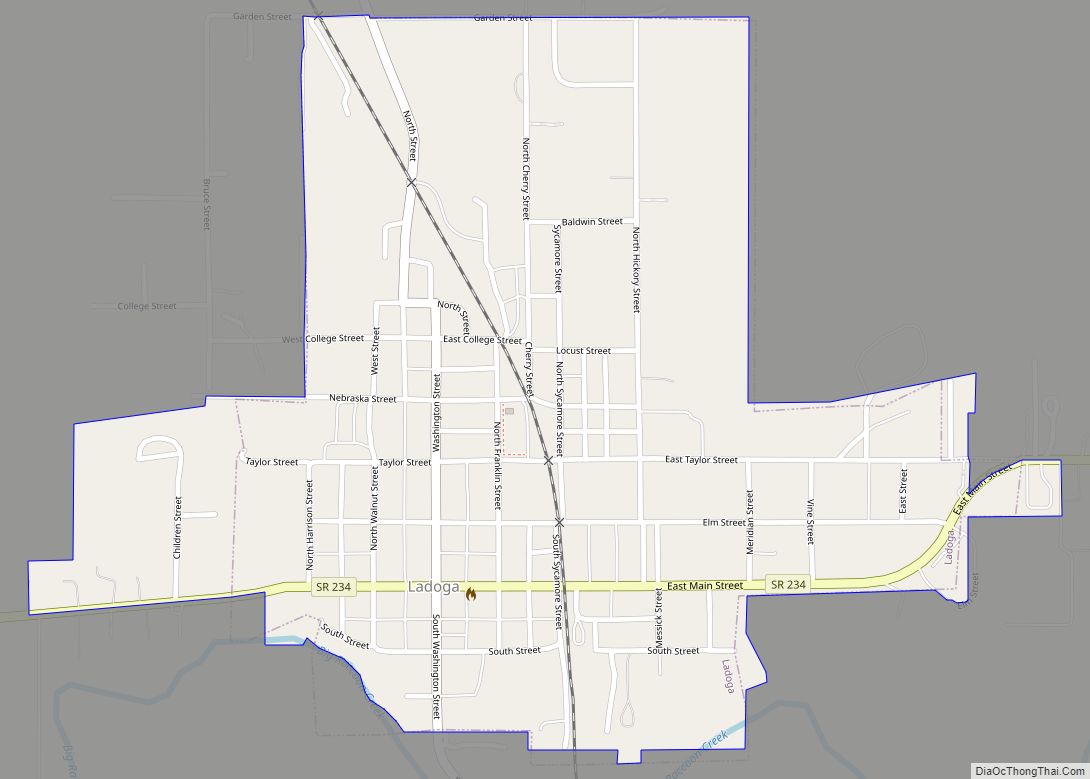
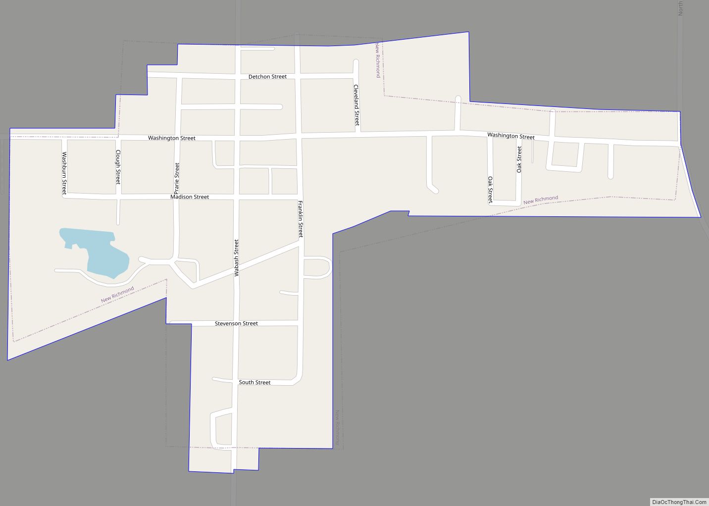
Online Interactive Map
Click on ![]() to view map in "full screen" mode.
to view map in "full screen" mode.
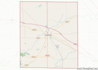
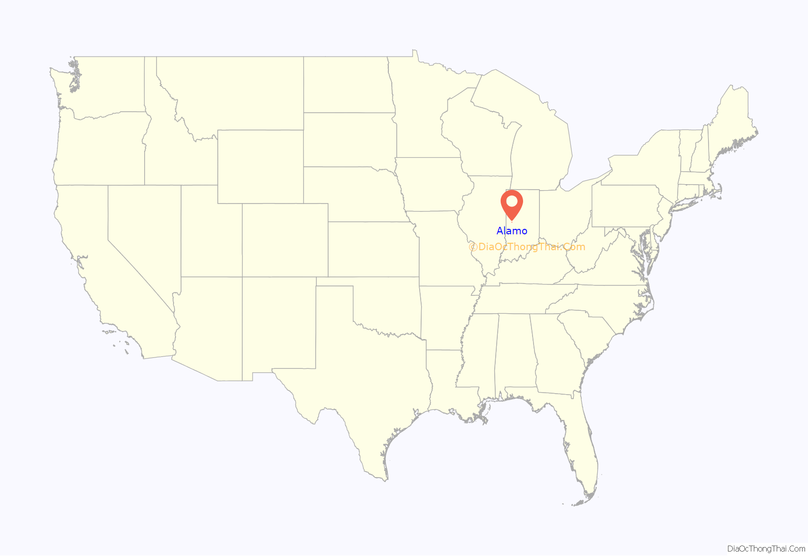
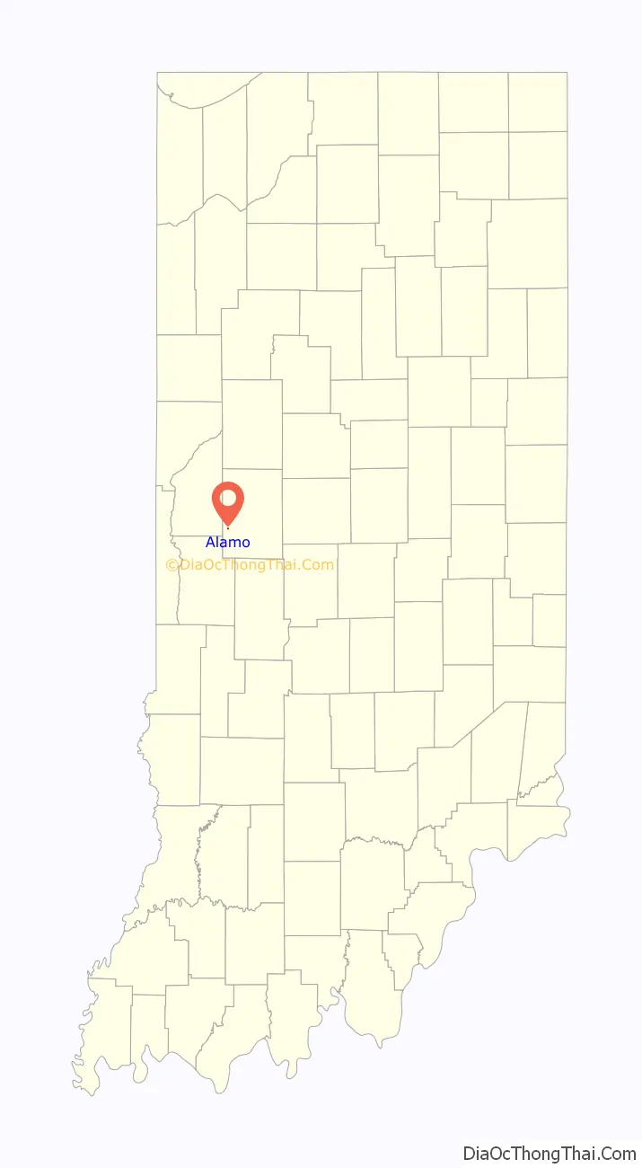
Alamo location map. Where is Alamo town?
History
Alamo was laid out and platted in 1837. It became a small trading center for nearby farms. In 1859 a road connected Alamo to Crawfordsville, and the Yountsville Covered Bridge was built. The town was named for the Alamo Mission in San Antonio, Texas.
The post office at Alamo has been in operation since 1844.
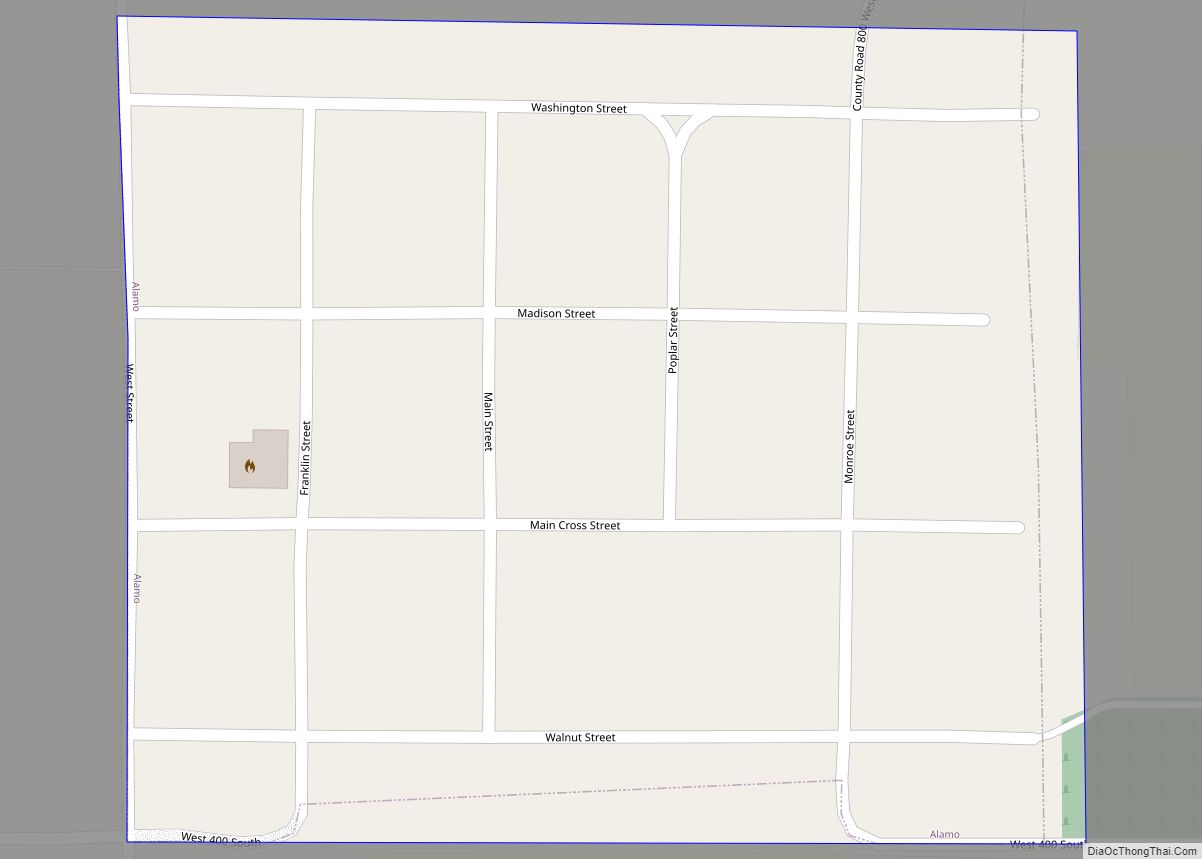
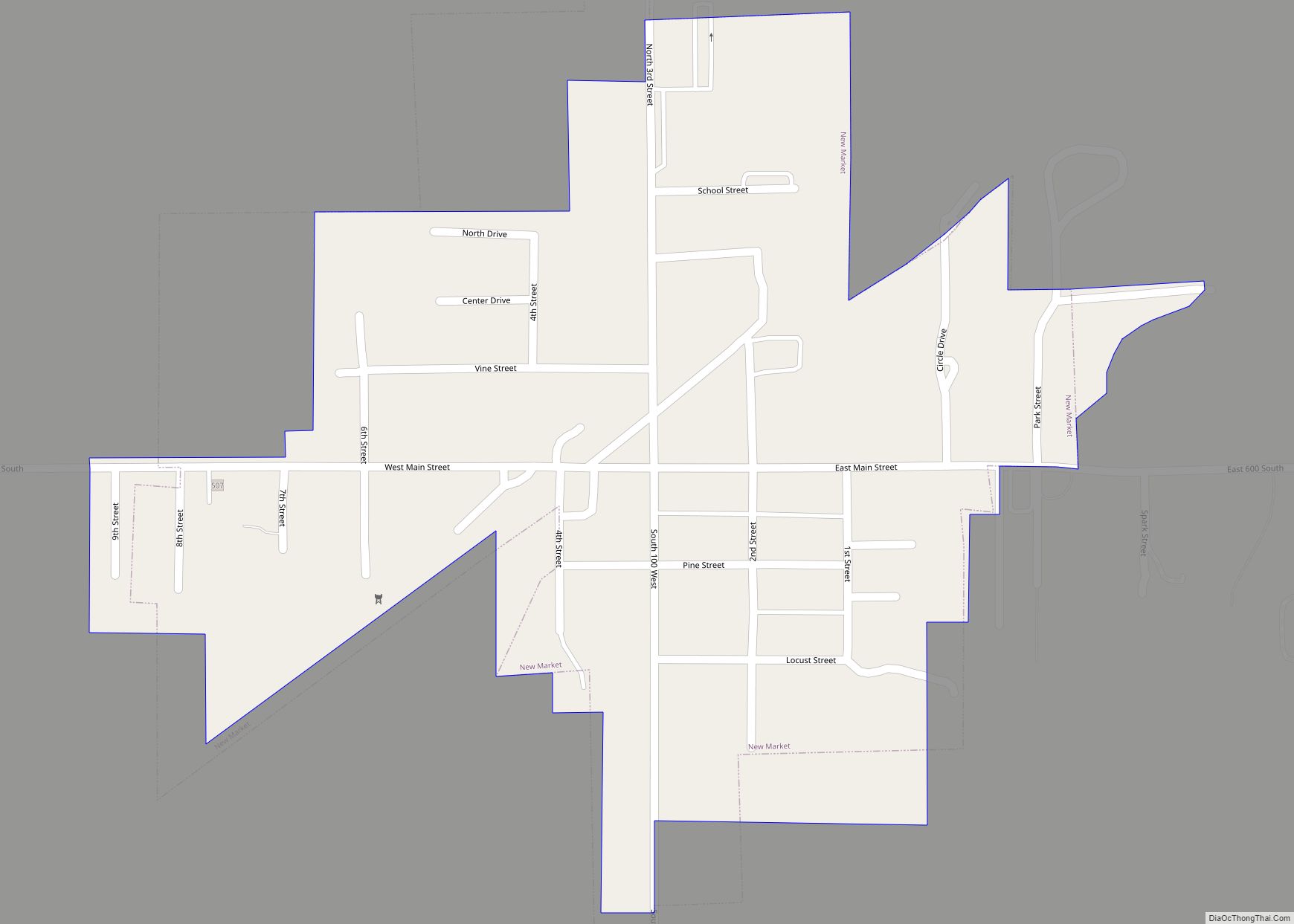
Alamo Road Map

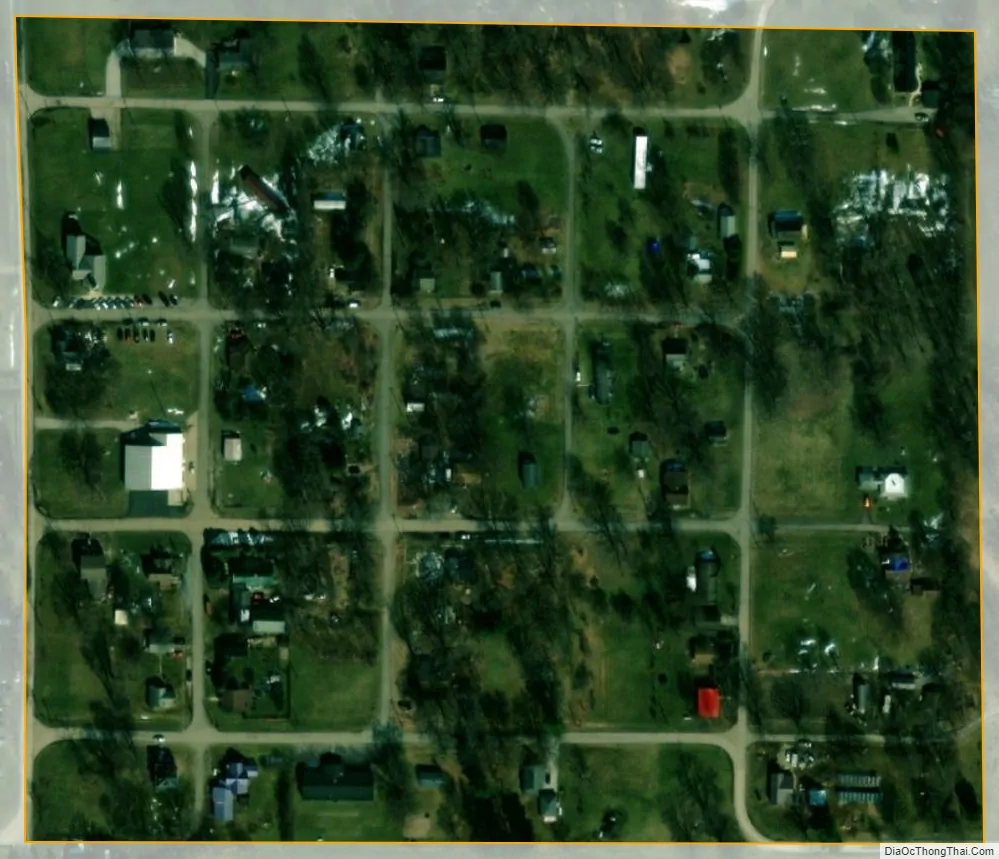
Alamo city Satellite Map
Geography
Alamo is located in western Montgomery County at 39°59′1″N 87°3′18″W / 39.98361°N 87.05500°W / 39.98361; -87.05500 (39.983709, -87.055078). It is 13 miles (21 km) southwest of Crawfordsville, the county seat.
According to the U.S. Census Bureau, Alamo has a total area of 0.06 square miles (0.16 km), all land. It sits on high ground which drains east to tributaries of Sugar Creek and west to tributaries of Stillwater Creek, which joins Sugar Mill Creek at Wallace and is part of the Sugar Creek watershed, flowing west to the Wabash River north of Montezuma.
See also
Map of Indiana State and its subdivision:- Adams
- Allen
- Bartholomew
- Benton
- Blackford
- Boone
- Brown
- Carroll
- Cass
- Clark
- Clay
- Clinton
- Crawford
- Daviess
- De Kalb
- Dearborn
- Decatur
- Delaware
- Dubois
- Elkhart
- Fayette
- Floyd
- Fountain
- Franklin
- Fulton
- Gibson
- Grant
- Greene
- Hamilton
- Hancock
- Harrison
- Hendricks
- Henry
- Howard
- Huntington
- Jackson
- Jasper
- Jay
- Jefferson
- Jennings
- Johnson
- Knox
- Kosciusko
- LaGrange
- Lake
- Lake Michigan
- LaPorte
- Lawrence
- Madison
- Marion
- Marshall
- Martin
- Miami
- Monroe
- Montgomery
- Morgan
- Newton
- Noble
- Ohio
- Orange
- Owen
- Parke
- Perry
- Pike
- Porter
- Posey
- Pulaski
- Putnam
- Randolph
- Ripley
- Rush
- Saint Joseph
- Scott
- Shelby
- Spencer
- Starke
- Steuben
- Sullivan
- Switzerland
- Tippecanoe
- Tipton
- Union
- Vanderburgh
- Vermillion
- Vigo
- Wabash
- Warren
- Warrick
- Washington
- Wayne
- Wells
- White
- Whitley
- Alabama
- Alaska
- Arizona
- Arkansas
- California
- Colorado
- Connecticut
- Delaware
- District of Columbia
- Florida
- Georgia
- Hawaii
- Idaho
- Illinois
- Indiana
- Iowa
- Kansas
- Kentucky
- Louisiana
- Maine
- Maryland
- Massachusetts
- Michigan
- Minnesota
- Mississippi
- Missouri
- Montana
- Nebraska
- Nevada
- New Hampshire
- New Jersey
- New Mexico
- New York
- North Carolina
- North Dakota
- Ohio
- Oklahoma
- Oregon
- Pennsylvania
- Rhode Island
- South Carolina
- South Dakota
- Tennessee
- Texas
- Utah
- Vermont
- Virginia
- Washington
- West Virginia
- Wisconsin
- Wyoming