Darlington is a town in Franklin Township, Montgomery County, in the U.S. state of Indiana. The population was 711 at the 2020 census, down from 843 in 2010.
| Name: | Darlington town |
|---|---|
| LSAD Code: | 43 |
| LSAD Description: | town (suffix) |
| State: | Indiana |
| County: | Montgomery County |
| Elevation: | 761 ft (232 m) |
| Total Area: | 0.34 sq mi (0.87 km²) |
| Land Area: | 0.34 sq mi (0.87 km²) |
| Water Area: | 0.00 sq mi (0.00 km²) |
| Total Population: | 711 |
| Population Density: | 2,122.39/sq mi (820.09/km²) |
| ZIP code: | 47940 |
| Area code: | 765 |
| FIPS code: | 1816840 |
| GNISfeature ID: | 433318 |
| Website: | www.darlingtonindiana.com |
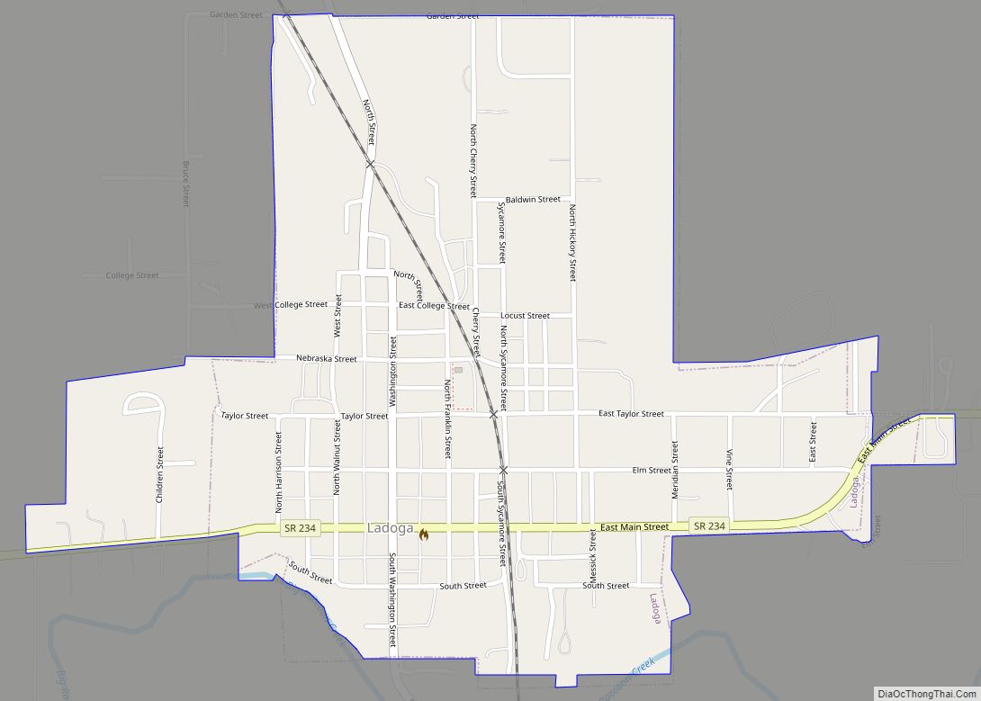
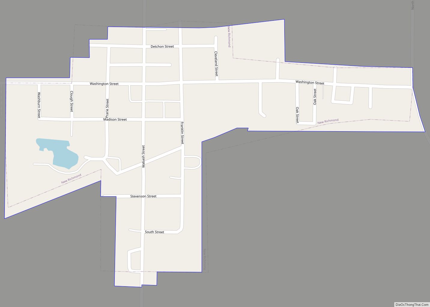
Online Interactive Map
Click on ![]() to view map in "full screen" mode.
to view map in "full screen" mode.
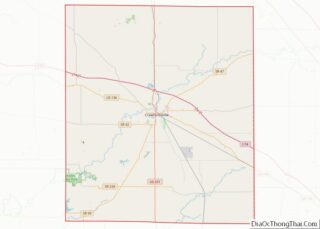
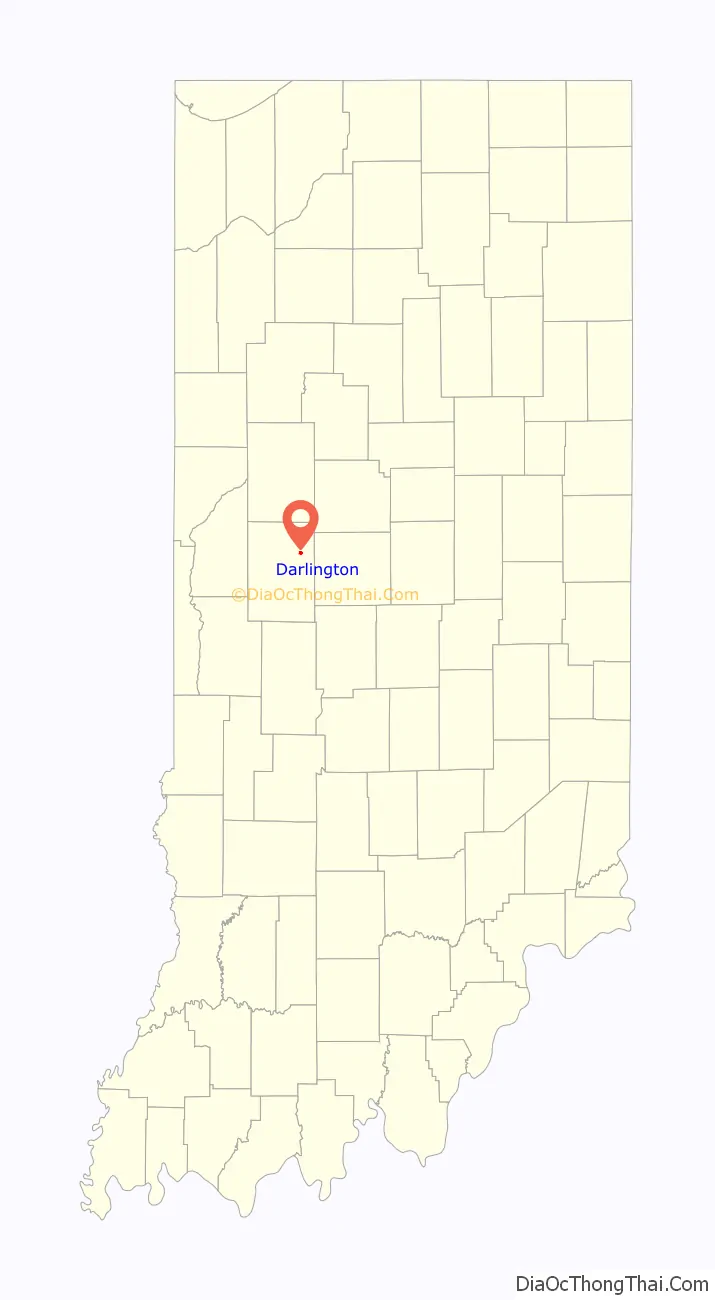
Darlington location map. Where is Darlington town?

History
Darlington was platted by Enoch Cox in 1836. The city takes its name from Darlington, in England. The post office at Darlington has been in operation since 1837.
The Pennsylvania Railroad (Vandalia district) made stops in Darlington for many years from the late 19th century up until the 1960s. The right-of-way with its numerous wood-pile trestles can still be seen along State Road 47. Many people in Darlington would ride the PRR to Lake Maxinkuckee on weekends during the late 19th and early 20th centuries.
The Vandalia District started southwest of Terre Haute and bisected Montgomery County from Waveland, through Crawfordsville, to Darlington, continuing on to Colfax, where it crossed the NYC Big Four branch.
A man named Arthur Baird II killed his parents, Arthur and Katherine, and his pregnant wife Nadine on September 6–7, 1985; this was the first triple murder to occur in Montgomery County, as well as the first murder in the county since 1978.
On June 2, 1990, an F-3 tornado touched down southwest of Darlington and destroyed multiple homes, barns, and property around the area. The town suffered significant damage from the storm.
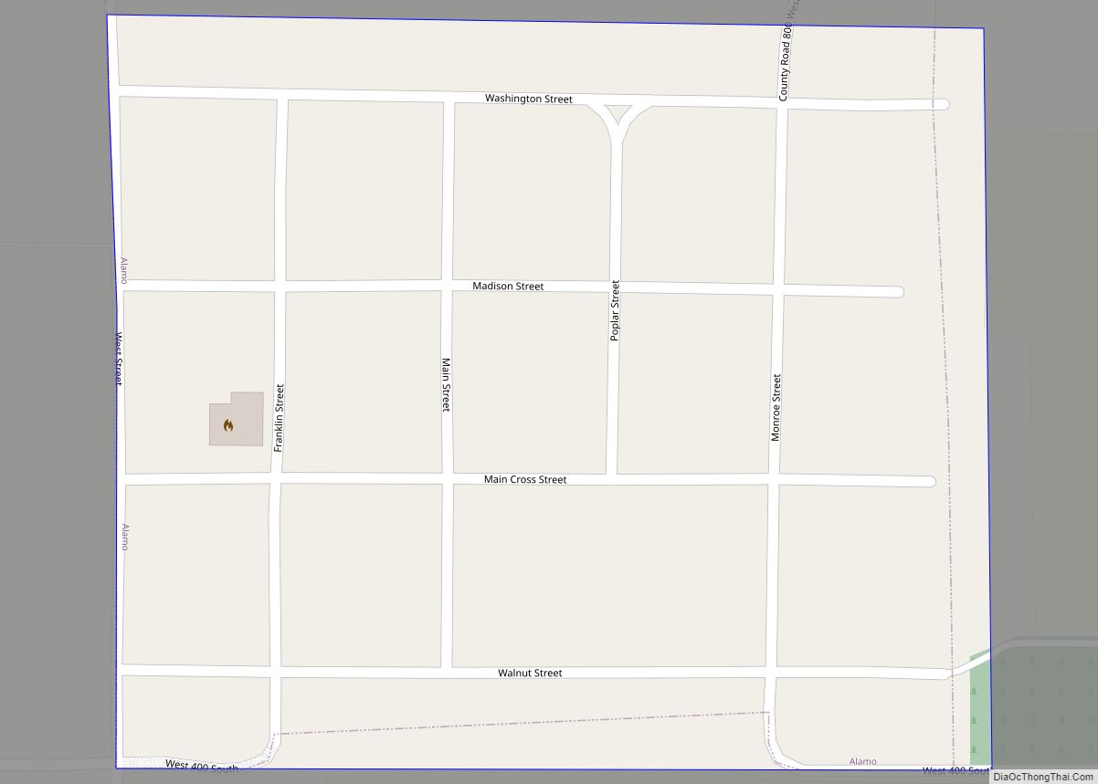
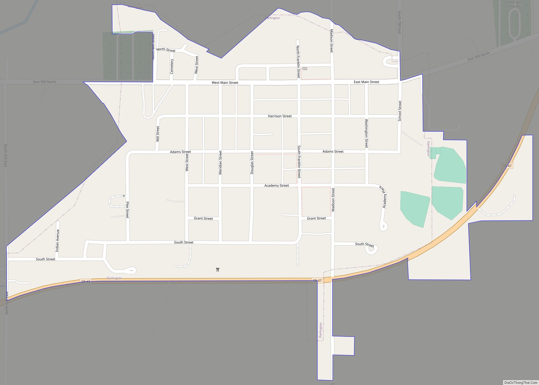
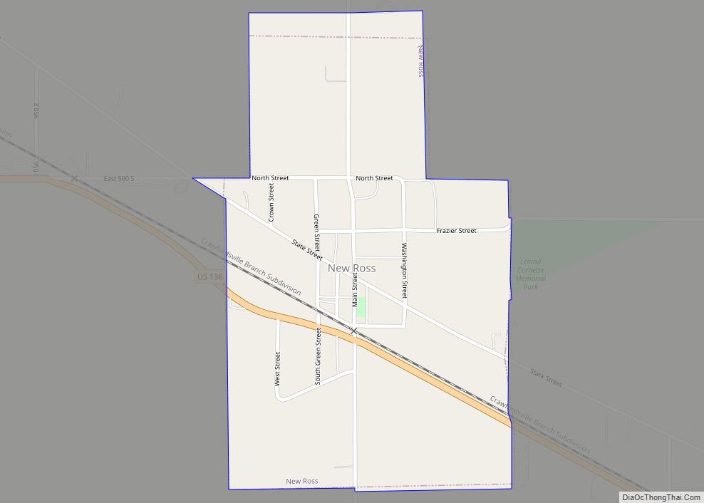
Darlington Road Map
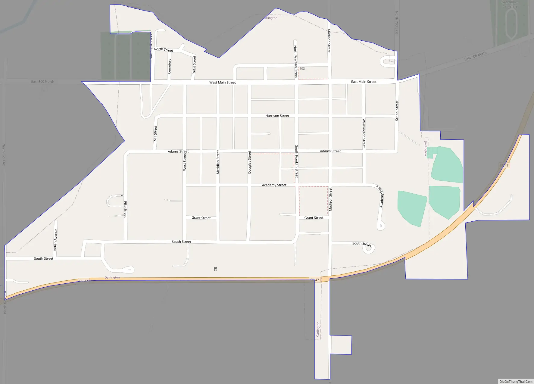
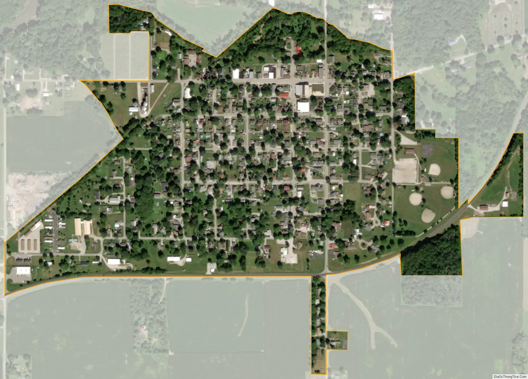
Darlington city Satellite Map
Geography
Darlington is located in northeastern Montgomery County at 40°6′30″N 86°46′36″W / 40.10833°N 86.77667°W / 40.10833; -86.77667 (40.108218, -86.776555). Indiana State Road 47 runs along the southern edge of the town, leading southwest 9 miles (14 km) to Crawfordsville and east the same distance to Thorntown. Lafayette is 24 miles (39 km) to the north, and Indianapolis is 45 miles (72 km) to the southeast.
According to the U.S. Census Bureau, Darlington has a total area of 0.33 square miles (0.85 km), all land. The town is set on higher ground overlooking Sugar Creek to the northwest. Sugar Creek is a southwest-flowing tributary of the Wabash River, which it joins north of Montezuma.
See also
Map of Indiana State and its subdivision:- Adams
- Allen
- Bartholomew
- Benton
- Blackford
- Boone
- Brown
- Carroll
- Cass
- Clark
- Clay
- Clinton
- Crawford
- Daviess
- De Kalb
- Dearborn
- Decatur
- Delaware
- Dubois
- Elkhart
- Fayette
- Floyd
- Fountain
- Franklin
- Fulton
- Gibson
- Grant
- Greene
- Hamilton
- Hancock
- Harrison
- Hendricks
- Henry
- Howard
- Huntington
- Jackson
- Jasper
- Jay
- Jefferson
- Jennings
- Johnson
- Knox
- Kosciusko
- LaGrange
- Lake
- Lake Michigan
- LaPorte
- Lawrence
- Madison
- Marion
- Marshall
- Martin
- Miami
- Monroe
- Montgomery
- Morgan
- Newton
- Noble
- Ohio
- Orange
- Owen
- Parke
- Perry
- Pike
- Porter
- Posey
- Pulaski
- Putnam
- Randolph
- Ripley
- Rush
- Saint Joseph
- Scott
- Shelby
- Spencer
- Starke
- Steuben
- Sullivan
- Switzerland
- Tippecanoe
- Tipton
- Union
- Vanderburgh
- Vermillion
- Vigo
- Wabash
- Warren
- Warrick
- Washington
- Wayne
- Wells
- White
- Whitley
- Alabama
- Alaska
- Arizona
- Arkansas
- California
- Colorado
- Connecticut
- Delaware
- District of Columbia
- Florida
- Georgia
- Hawaii
- Idaho
- Illinois
- Indiana
- Iowa
- Kansas
- Kentucky
- Louisiana
- Maine
- Maryland
- Massachusetts
- Michigan
- Minnesota
- Mississippi
- Missouri
- Montana
- Nebraska
- Nevada
- New Hampshire
- New Jersey
- New Mexico
- New York
- North Carolina
- North Dakota
- Ohio
- Oklahoma
- Oregon
- Pennsylvania
- Rhode Island
- South Carolina
- South Dakota
- Tennessee
- Texas
- Utah
- Vermont
- Virginia
- Washington
- West Virginia
- Wisconsin
- Wyoming