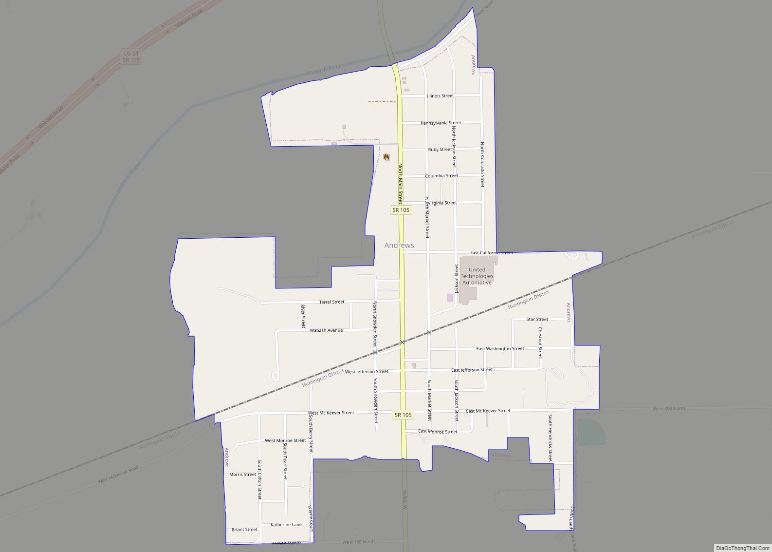
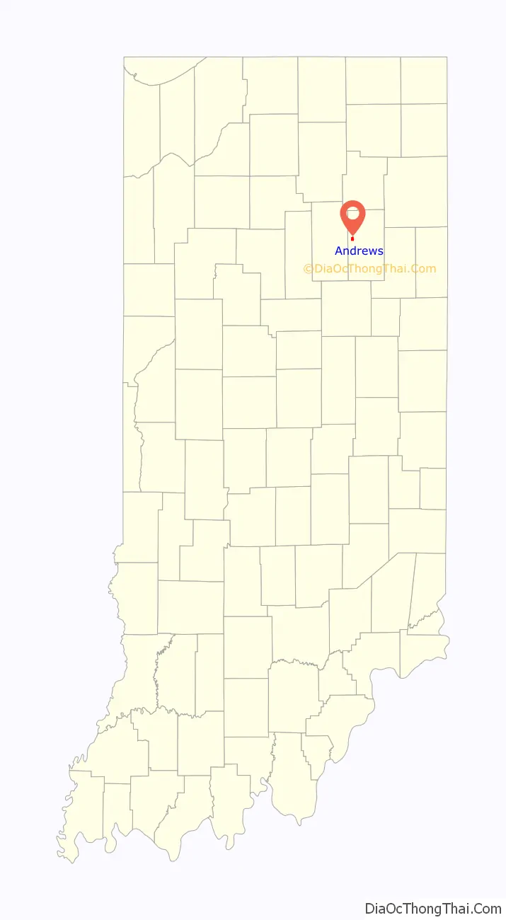
Andrews is a town in Dallas Township, Huntington County, Indiana, United States. The population was 1,048 at the 2020 census.
| Name: | Andrews town |
|---|---|
| LSAD Code: | 43 |
| LSAD Description: | town (suffix) |
| State: | Indiana |
| County: | Huntington County |
| Elevation: | 712 ft (217 m) |
| Total Area: | 0.64 sq mi (1.66 km²) |
| Land Area: | 0.63 sq mi (1.64 km²) |
| Water Area: | 0.01 sq mi (0.02 km²) |
| Total Population: | 1,048 |
| Population Density: | 1,653.00/sq mi (637.86/km²) |
| ZIP code: | 46702 |
| Area code: | 260 |
| FIPS code: | 1801612 |
| GNISfeature ID: | 0430170 |
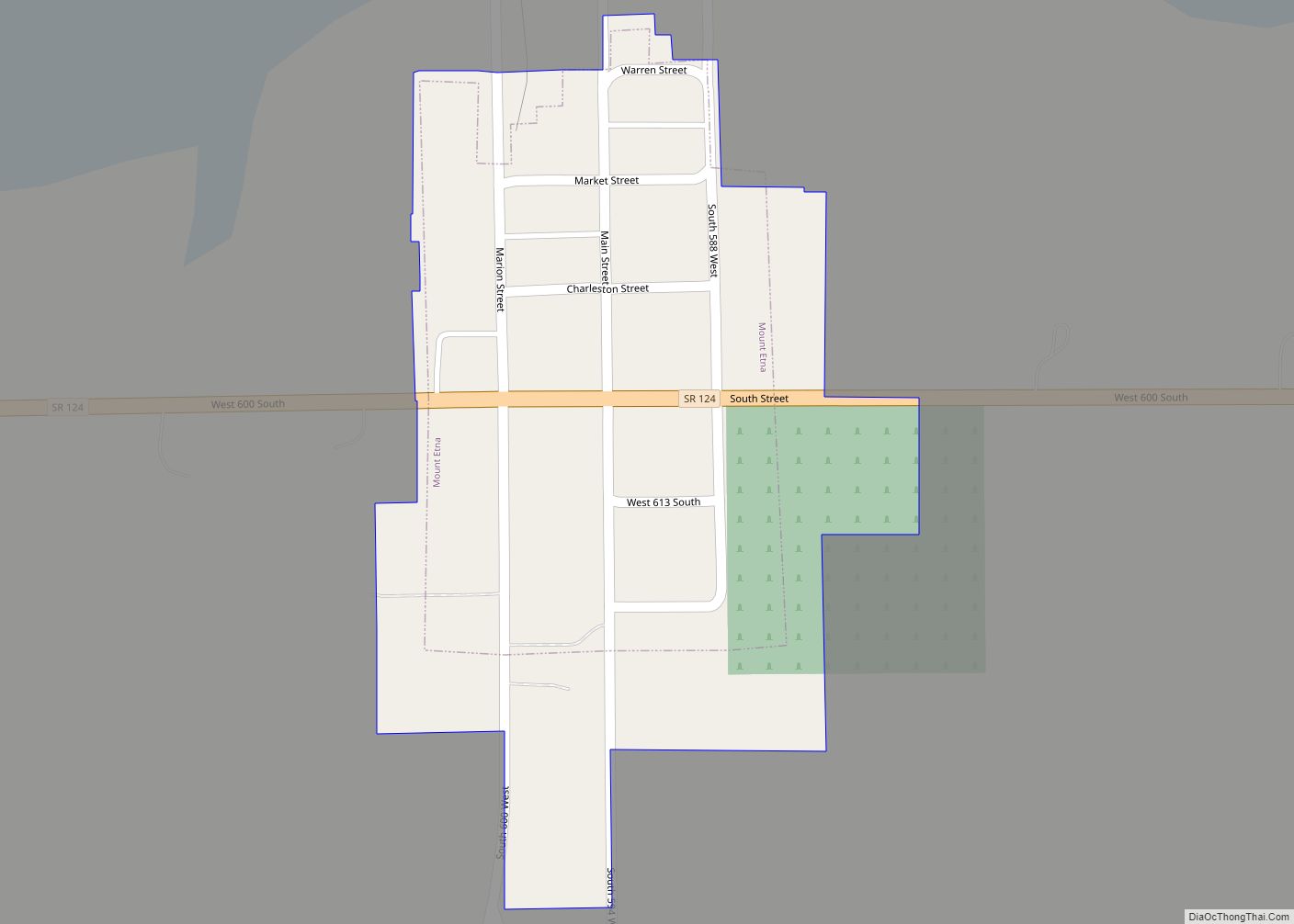
Online Interactive Map
Click on ![]() to view map in "full screen" mode.
to view map in "full screen" mode.
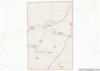
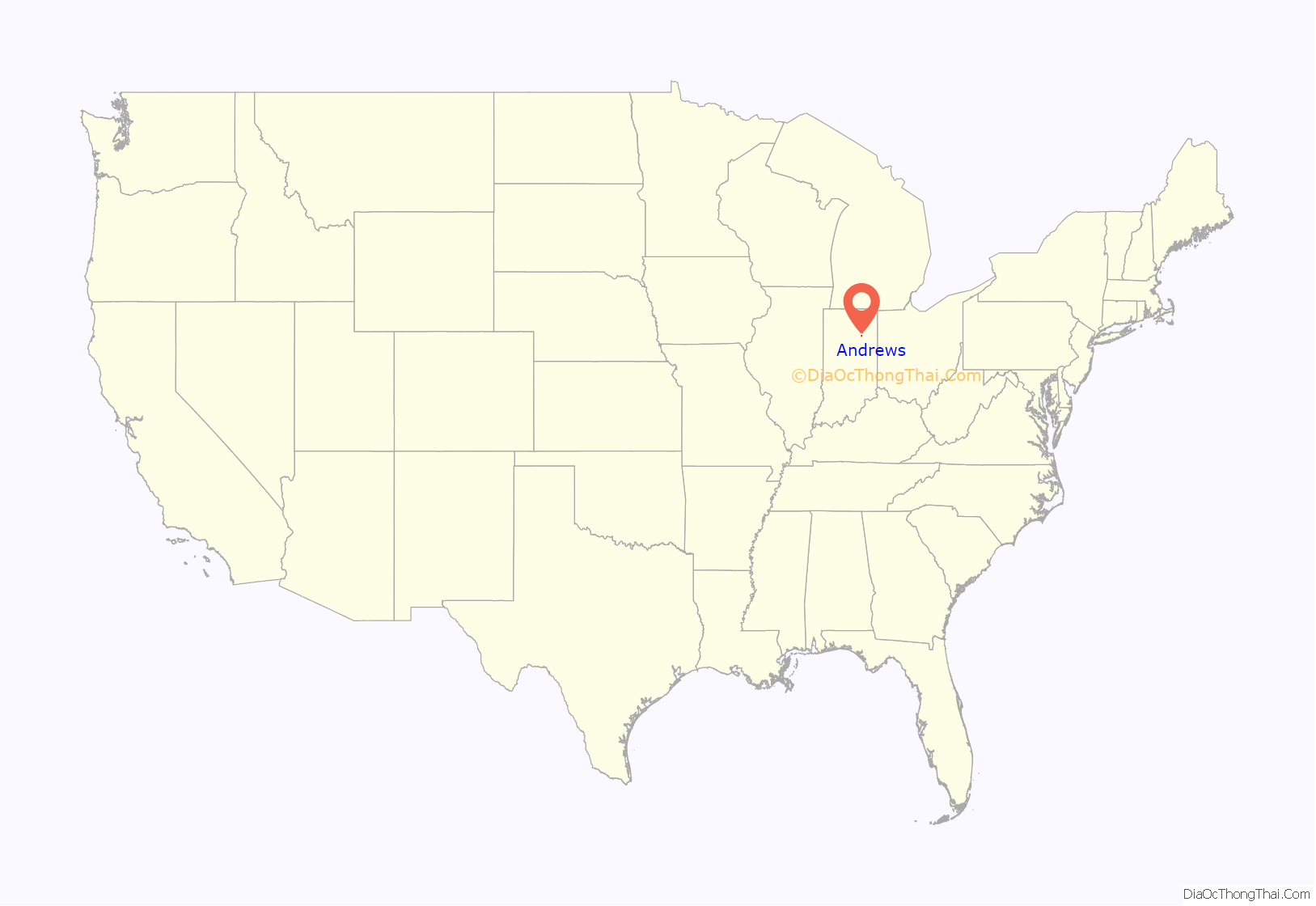
Andrews location map. Where is Andrews town?
History
Andrews was originally called Antioch, and under the latter name was platted in 1853. It was renamed Andrews in the 1880s, in honor of a railroad official, at the time when the railroad was built through the community.
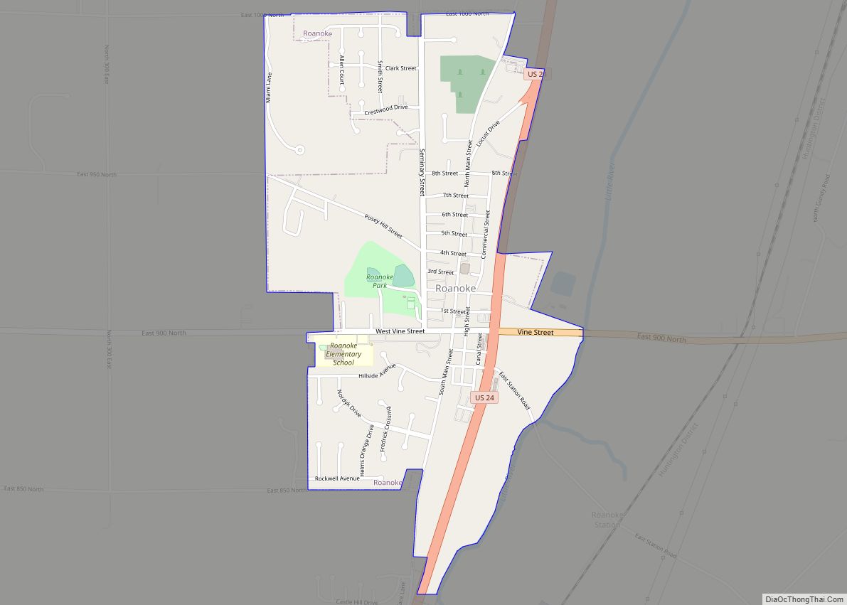
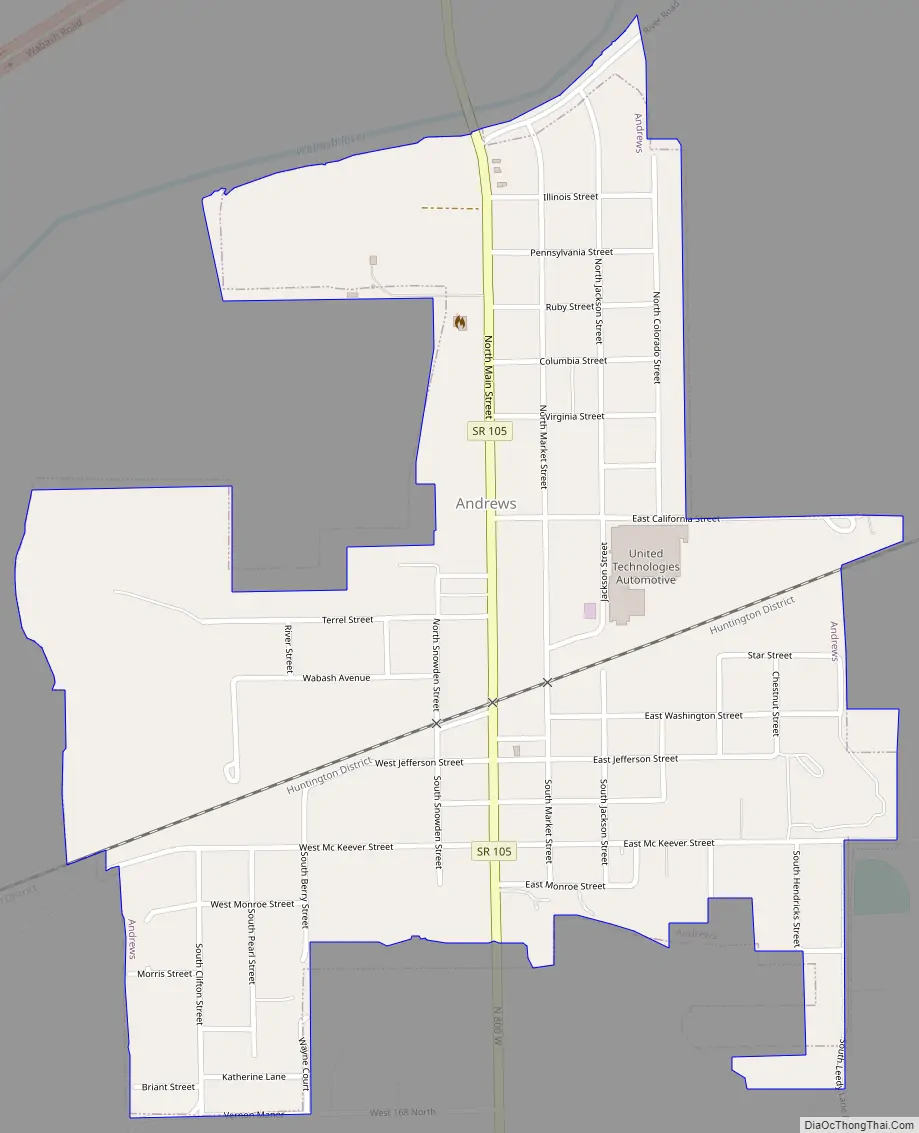
Andrews Road Map
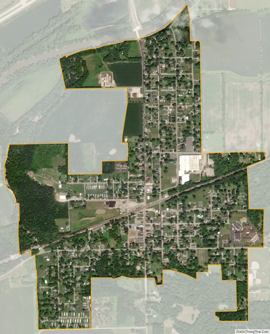
Andrews city Satellite Map
Geography
Andrews is located at 40°51′39″N 85°36′3″W / 40.86083°N 85.60083°W / 40.86083; -85.60083 (40.860824, -85.600960).
According to the 2010 census, Andrews has a total area of 0.66 square miles (1.71 km), of which 0.65 square miles (1.68 km) (or 98.48%) is land and 0.01 square miles (0.03 km) (or 1.52%) is water.
See also
Map of Indiana State and its subdivision:- Adams
- Allen
- Bartholomew
- Benton
- Blackford
- Boone
- Brown
- Carroll
- Cass
- Clark
- Clay
- Clinton
- Crawford
- Daviess
- De Kalb
- Dearborn
- Decatur
- Delaware
- Dubois
- Elkhart
- Fayette
- Floyd
- Fountain
- Franklin
- Fulton
- Gibson
- Grant
- Greene
- Hamilton
- Hancock
- Harrison
- Hendricks
- Henry
- Howard
- Huntington
- Jackson
- Jasper
- Jay
- Jefferson
- Jennings
- Johnson
- Knox
- Kosciusko
- LaGrange
- Lake
- Lake Michigan
- LaPorte
- Lawrence
- Madison
- Marion
- Marshall
- Martin
- Miami
- Monroe
- Montgomery
- Morgan
- Newton
- Noble
- Ohio
- Orange
- Owen
- Parke
- Perry
- Pike
- Porter
- Posey
- Pulaski
- Putnam
- Randolph
- Ripley
- Rush
- Saint Joseph
- Scott
- Shelby
- Spencer
- Starke
- Steuben
- Sullivan
- Switzerland
- Tippecanoe
- Tipton
- Union
- Vanderburgh
- Vermillion
- Vigo
- Wabash
- Warren
- Warrick
- Washington
- Wayne
- Wells
- White
- Whitley
- Alabama
- Alaska
- Arizona
- Arkansas
- California
- Colorado
- Connecticut
- Delaware
- District of Columbia
- Florida
- Georgia
- Hawaii
- Idaho
- Illinois
- Indiana
- Iowa
- Kansas
- Kentucky
- Louisiana
- Maine
- Maryland
- Massachusetts
- Michigan
- Minnesota
- Mississippi
- Missouri
- Montana
- Nebraska
- Nevada
- New Hampshire
- New Jersey
- New Mexico
- New York
- North Carolina
- North Dakota
- Ohio
- Oklahoma
- Oregon
- Pennsylvania
- Rhode Island
- South Carolina
- South Dakota
- Tennessee
- Texas
- Utah
- Vermont
- Virginia
- Washington
- West Virginia
- Wisconsin
- Wyoming