Roanoke is a town in Jackson Township, Huntington County, Indiana, United States. The population was 1,762 at the 2020 census. Roanoke is governed by a town council. Town offices include the clerk treasurer, utilities department, police department, and volunteer fire department. The town has a public elementary school. WOWO and WRNP have transmitter towers in Roanoke, along U.S. Highway 24. For many years, television station WPTA was licensed to Roanoke, though that station’s studios and transmitter have always been located in nearby Fort Wayne.
| Name: | Roanoke town |
|---|---|
| LSAD Code: | 43 |
| LSAD Description: | town (suffix) |
| State: | Indiana |
| County: | Huntington County |
| Elevation: | 758 ft (231 m) |
| Total Area: | 1.21 sq mi (3.13 km²) |
| Land Area: | 1.20 sq mi (3.12 km²) |
| Water Area: | 0.01 sq mi (0.01 km²) |
| Total Population: | 1,762 |
| Population Density: | 1,464.67/sq mi (565.56/km²) |
| ZIP code: | 46783 |
| Area code: | 260 |
| FIPS code: | 1865016 |
| GNISfeature ID: | 0442129 |
Online Interactive Map
Click on ![]() to view map in "full screen" mode.
to view map in "full screen" mode.
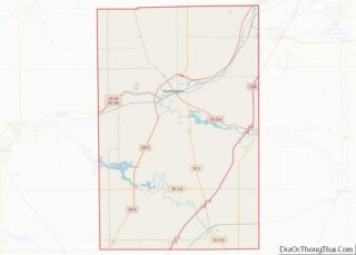
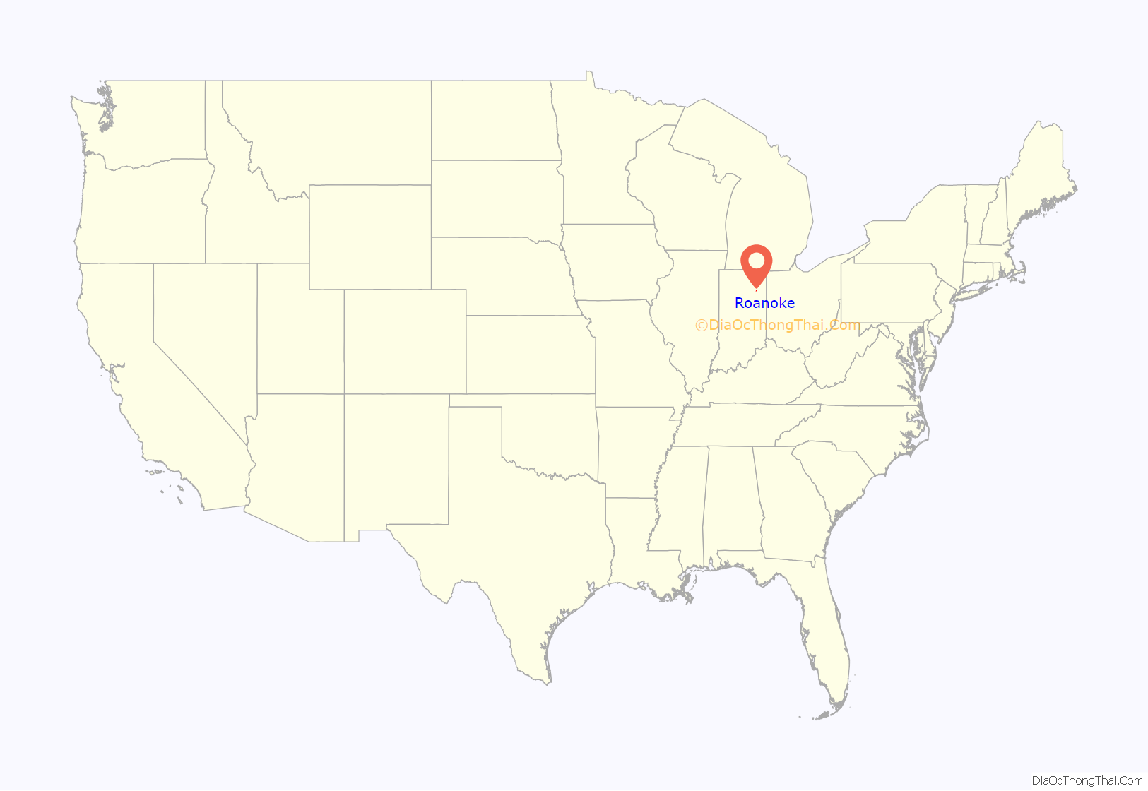
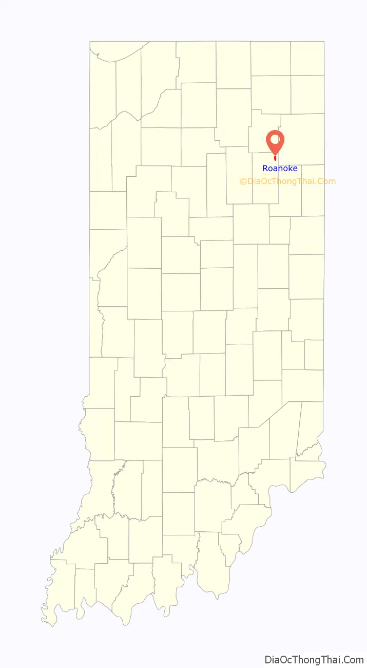
Roanoke location map. Where is Roanoke town?
History
Once the hunting and fishing grounds of the Miami Indians, Roanoke became a prosperous commercial center in the mid-19th century. Kiilhsoohkwa (meaning “sun-woman”), the granddaughter of Chief Little Turtle, lived in Roanoke and was known by locals as “the last of the Miami tribe.”
Roanoke had its start in about 1848, soon after the building of the Wabash and Erie Canal through that territory. The completion of the canal through Jackson Township enticed European-American settlers to the area. In the wake of the canal’s completion, the town became an important shipping point in the region and a source of supplies for neighboring towns in Allen, Huntington, and Whitley counties. One of the earliest settlers in the area was Jarred Darrow who arrived in 1837. Between 1840 and 1847 the area’s population swelled and included a large number of persons belonging to the United Brethren Church, the Methodist Church, and the Lutheran Church. Roanoke was incorporated as a town in 1874. The town was named after Roanoke, Virginia.
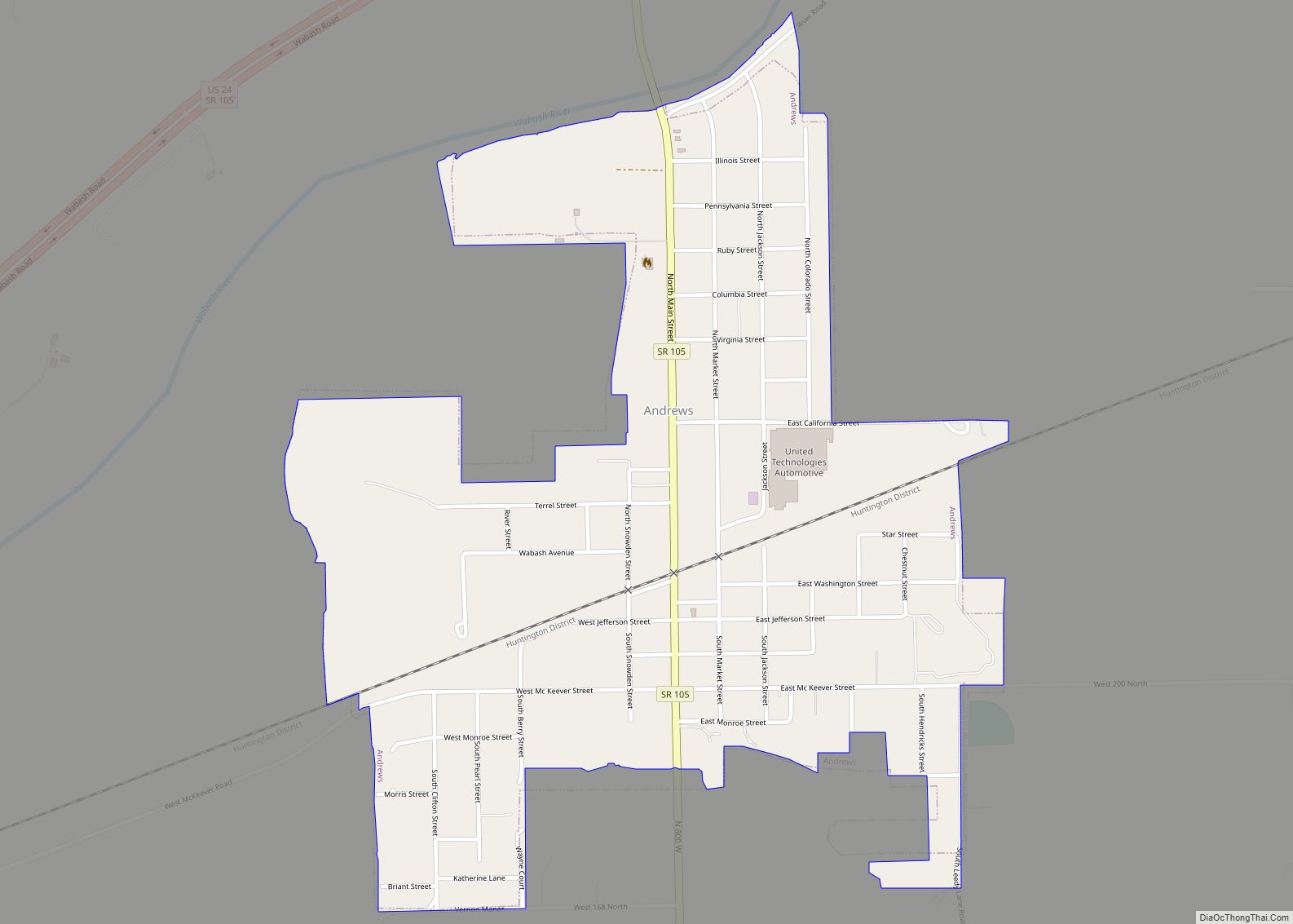
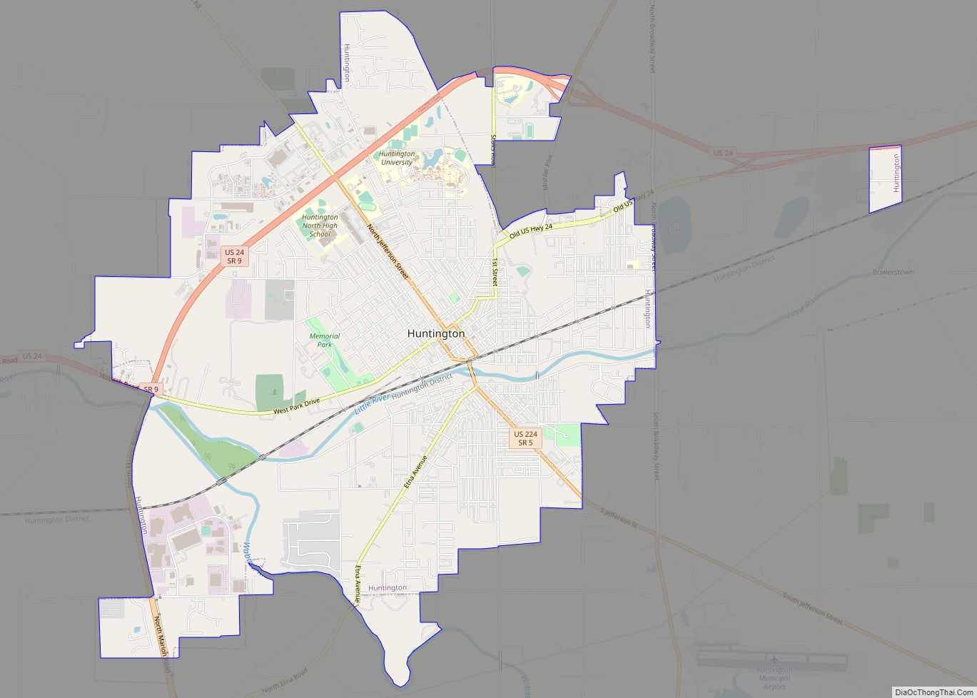
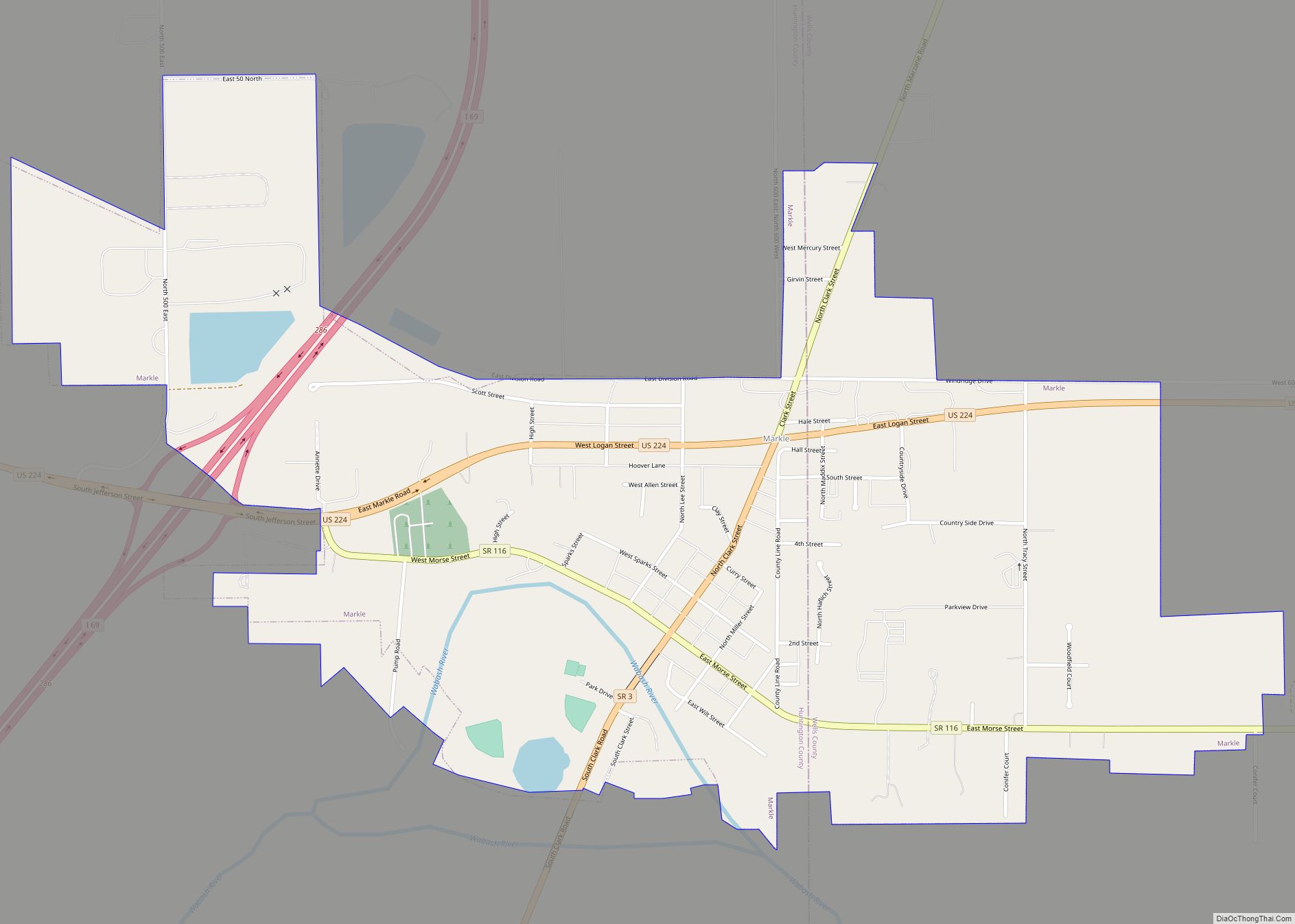
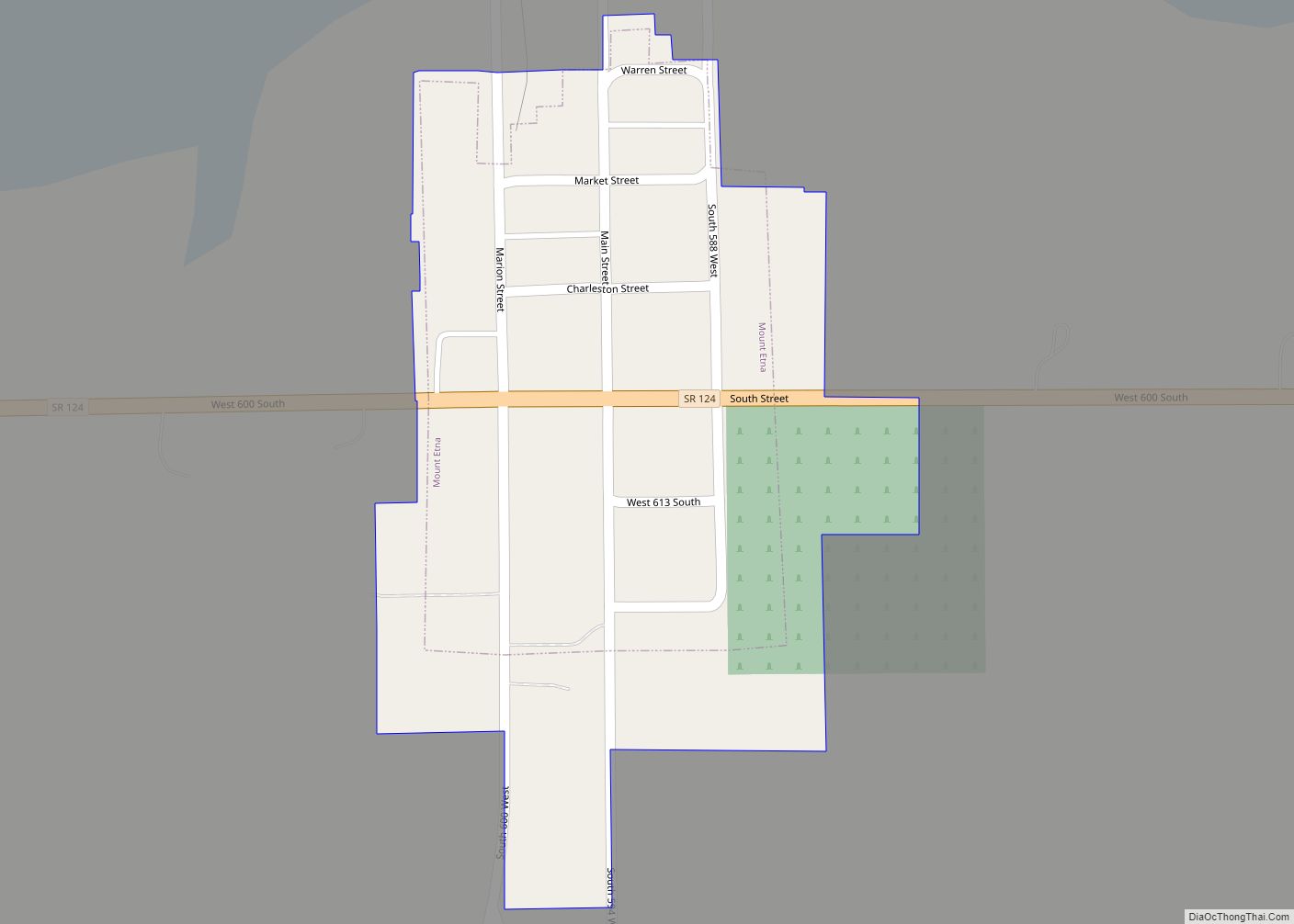
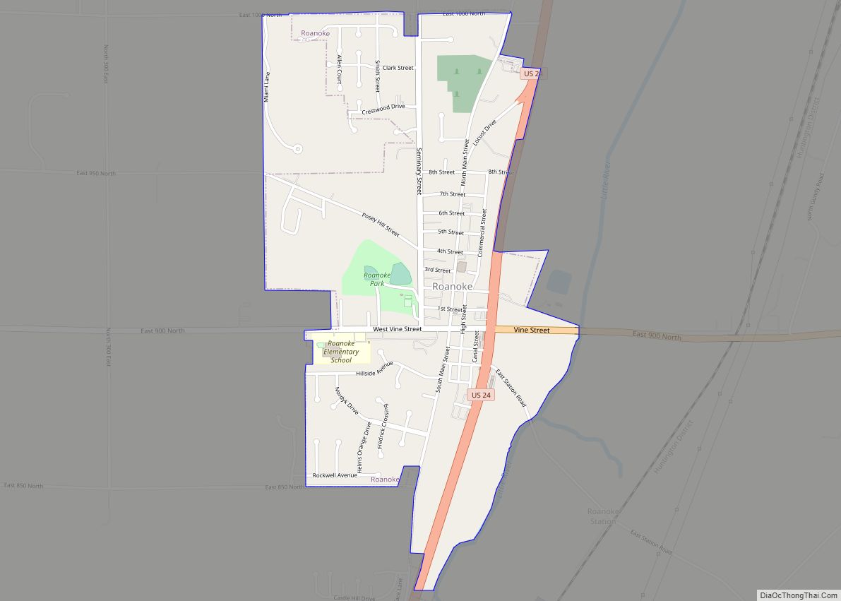
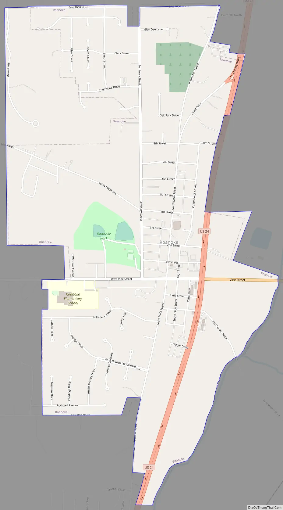
Roanoke Road Map
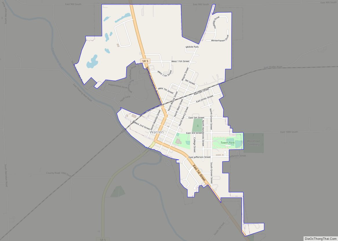
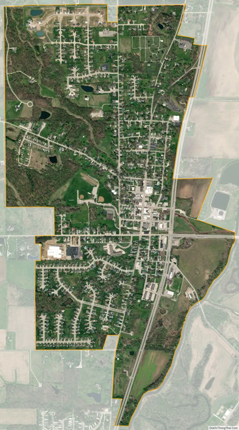
Roanoke city Satellite Map
Geography
Roanoke is located at 40°57′51″N 85°22′28″W / 40.96417°N 85.37444°W / 40.96417; -85.37444 (40.964252, -85.374431).
According to the 2010 census, Roanoke has a total area of 1.206 square miles (3.12 km), of which 1.2 square miles (3.11 km) (or 99.5%) is land and 0.006 square miles (0.02 km) (or 0.5%) is water.
See also
Map of Indiana State and its subdivision:- Adams
- Allen
- Bartholomew
- Benton
- Blackford
- Boone
- Brown
- Carroll
- Cass
- Clark
- Clay
- Clinton
- Crawford
- Daviess
- De Kalb
- Dearborn
- Decatur
- Delaware
- Dubois
- Elkhart
- Fayette
- Floyd
- Fountain
- Franklin
- Fulton
- Gibson
- Grant
- Greene
- Hamilton
- Hancock
- Harrison
- Hendricks
- Henry
- Howard
- Huntington
- Jackson
- Jasper
- Jay
- Jefferson
- Jennings
- Johnson
- Knox
- Kosciusko
- LaGrange
- Lake
- Lake Michigan
- LaPorte
- Lawrence
- Madison
- Marion
- Marshall
- Martin
- Miami
- Monroe
- Montgomery
- Morgan
- Newton
- Noble
- Ohio
- Orange
- Owen
- Parke
- Perry
- Pike
- Porter
- Posey
- Pulaski
- Putnam
- Randolph
- Ripley
- Rush
- Saint Joseph
- Scott
- Shelby
- Spencer
- Starke
- Steuben
- Sullivan
- Switzerland
- Tippecanoe
- Tipton
- Union
- Vanderburgh
- Vermillion
- Vigo
- Wabash
- Warren
- Warrick
- Washington
- Wayne
- Wells
- White
- Whitley
- Alabama
- Alaska
- Arizona
- Arkansas
- California
- Colorado
- Connecticut
- Delaware
- District of Columbia
- Florida
- Georgia
- Hawaii
- Idaho
- Illinois
- Indiana
- Iowa
- Kansas
- Kentucky
- Louisiana
- Maine
- Maryland
- Massachusetts
- Michigan
- Minnesota
- Mississippi
- Missouri
- Montana
- Nebraska
- Nevada
- New Hampshire
- New Jersey
- New Mexico
- New York
- North Carolina
- North Dakota
- Ohio
- Oklahoma
- Oregon
- Pennsylvania
- Rhode Island
- South Carolina
- South Dakota
- Tennessee
- Texas
- Utah
- Vermont
- Virginia
- Washington
- West Virginia
- Wisconsin
- Wyoming