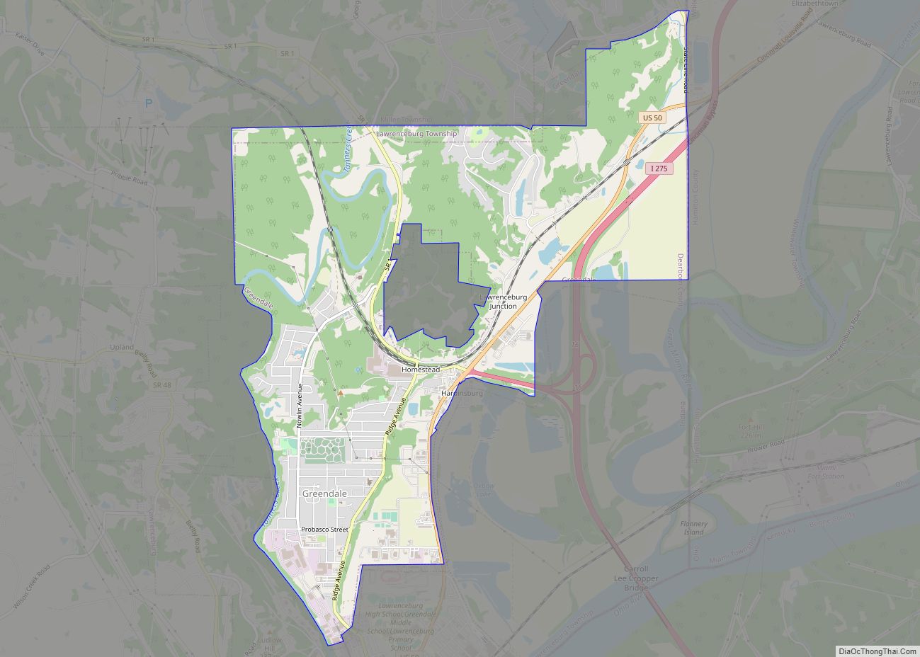
Greendale is a city in Dearborn County, Indiana, United States. The population was 4,520 at the 2010 census.
| Name: | Greendale city |
|---|---|
| LSAD Code: | 25 |
| LSAD Description: | city (suffix) |
| State: | Indiana |
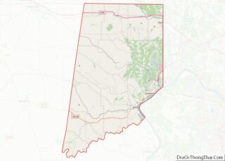
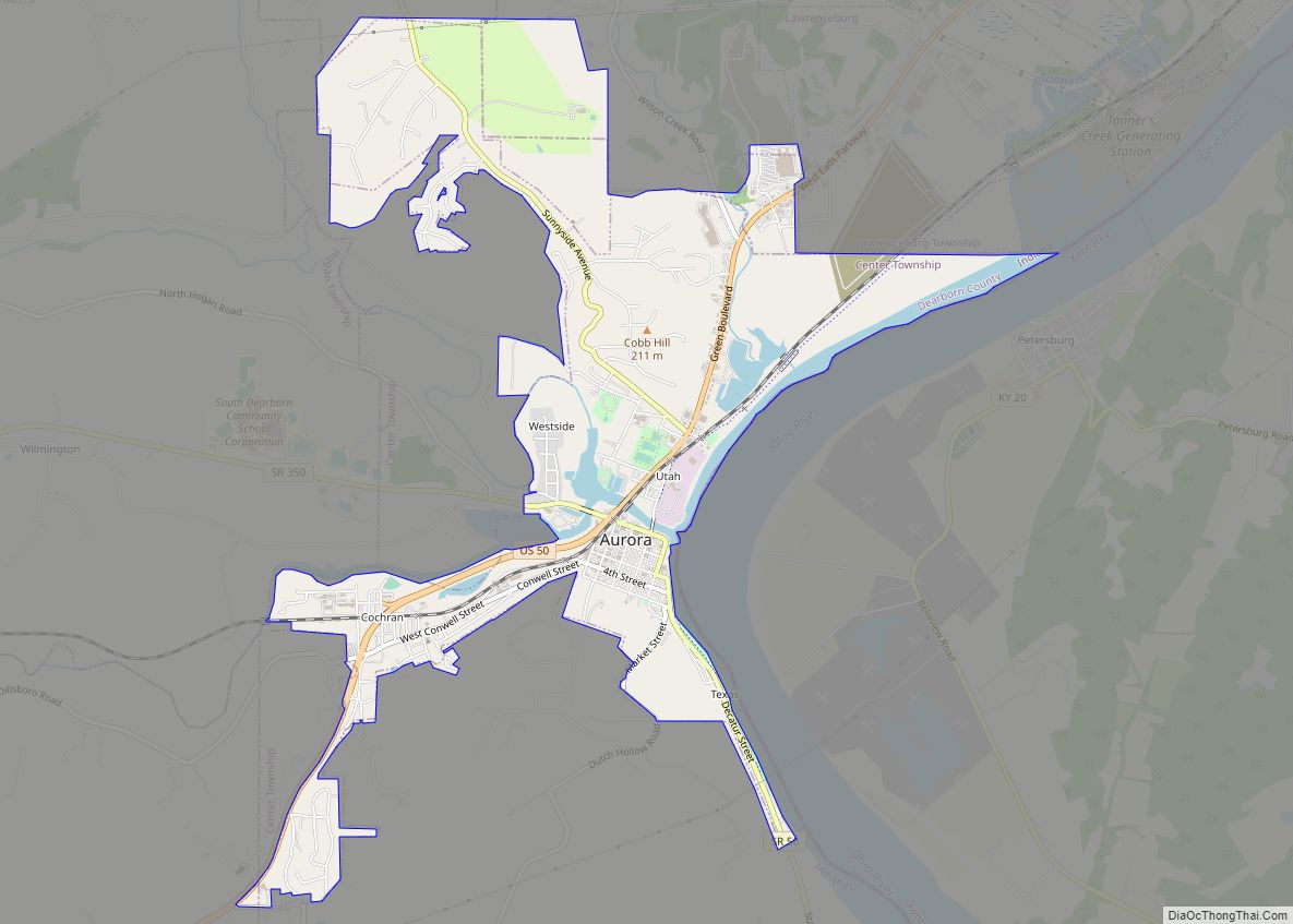
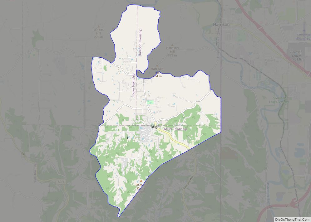
| County: | Dearborn County |
| Elevation: | 528 ft (161 m) |
| Total Area: | 5.73 sq mi (14.84 km²) |
| Land Area: | 5.66 sq mi (14.67 km²) |
| Water Area: | 0.07 sq mi (0.18 km²) |
| Total Population: | 4,602 |
| Population Density: | 812.64/sq mi (313.78/km²) |
| ZIP code: | 47025 |
| Area code: | 812 |
| FIPS code: | 1829448 |
| GNISfeature ID: | 0435429 |
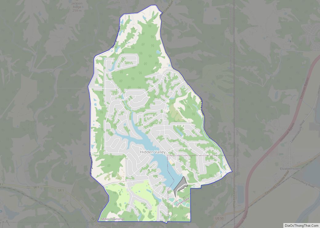
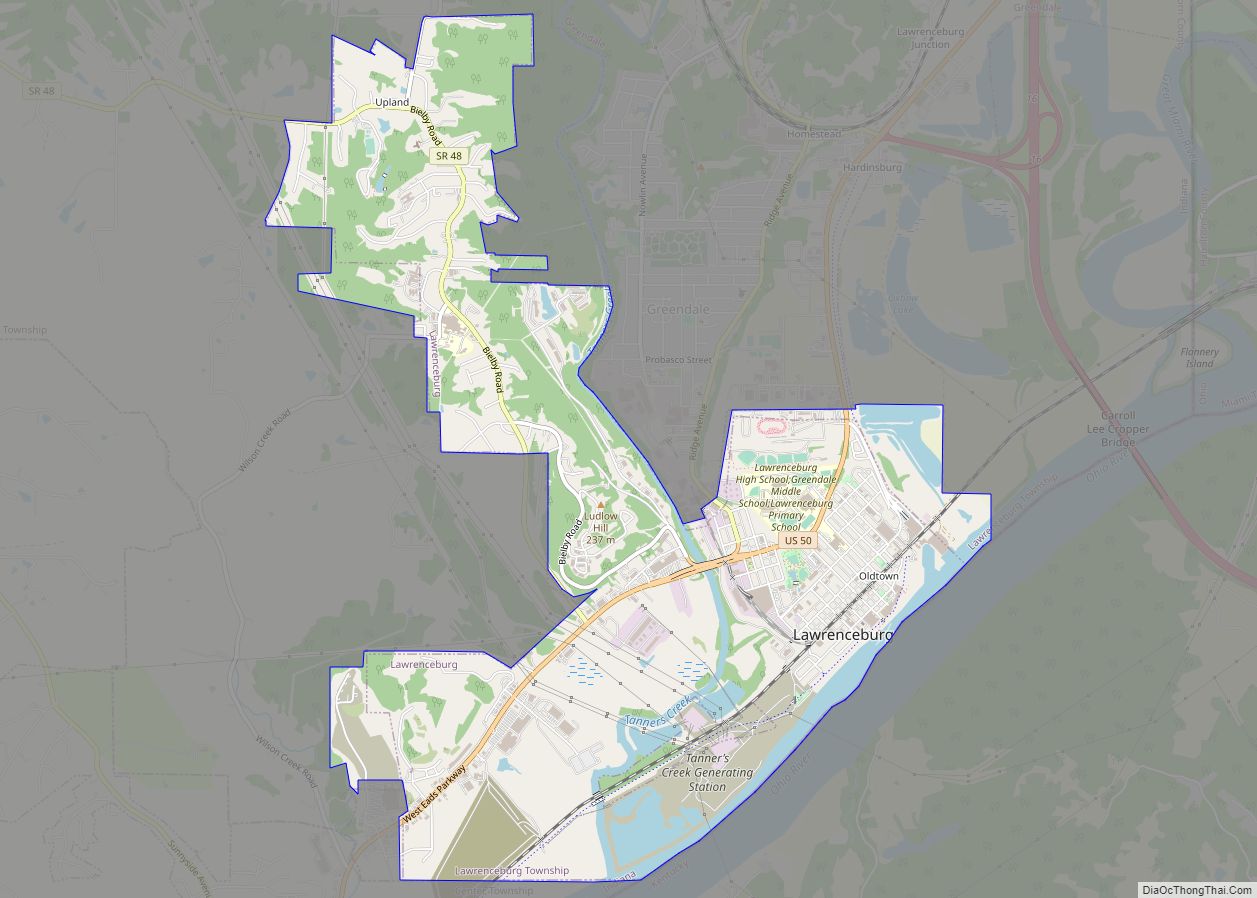
Online Interactive Map
Click on ![]() to view map in "full screen" mode.
to view map in "full screen" mode.
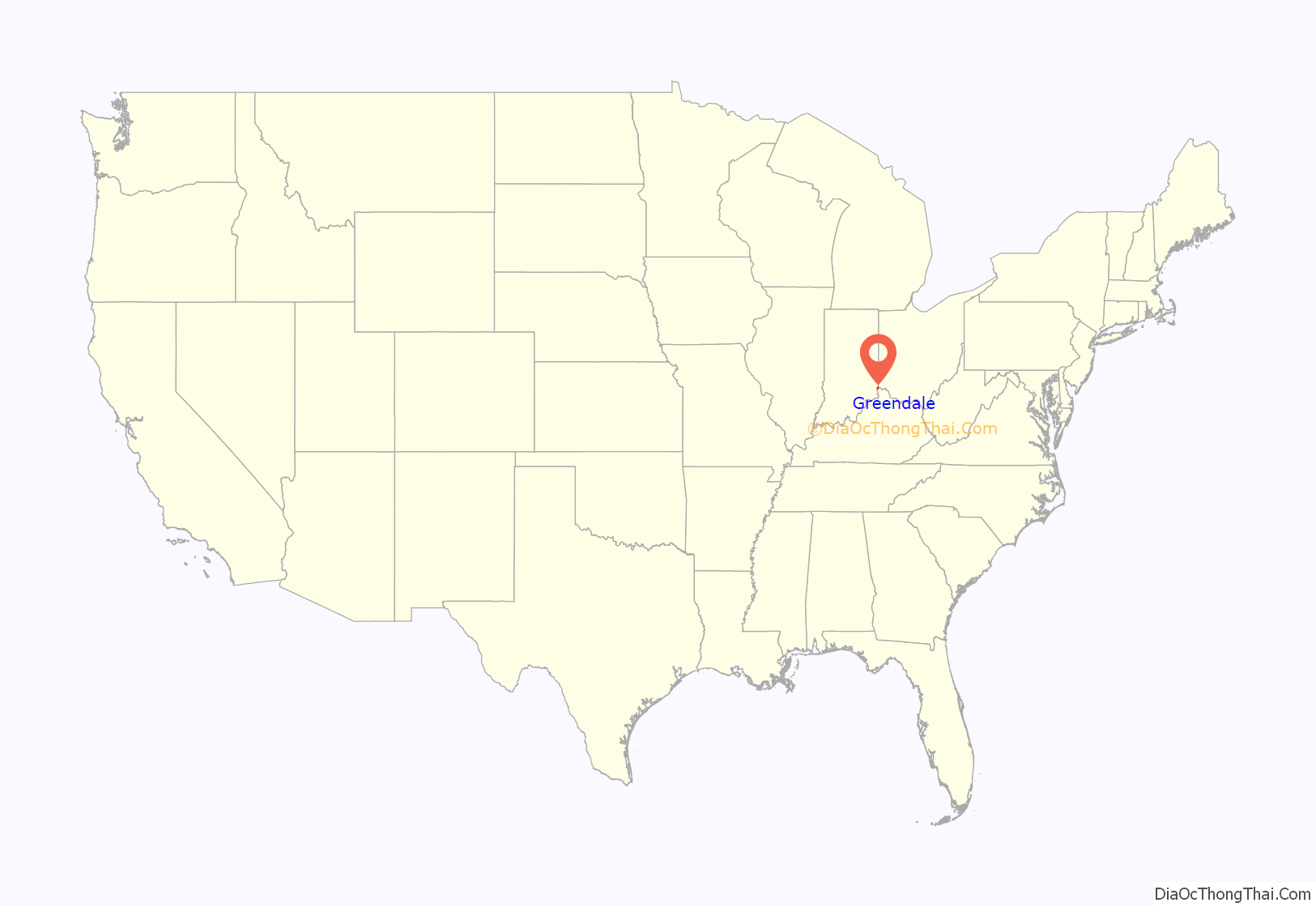
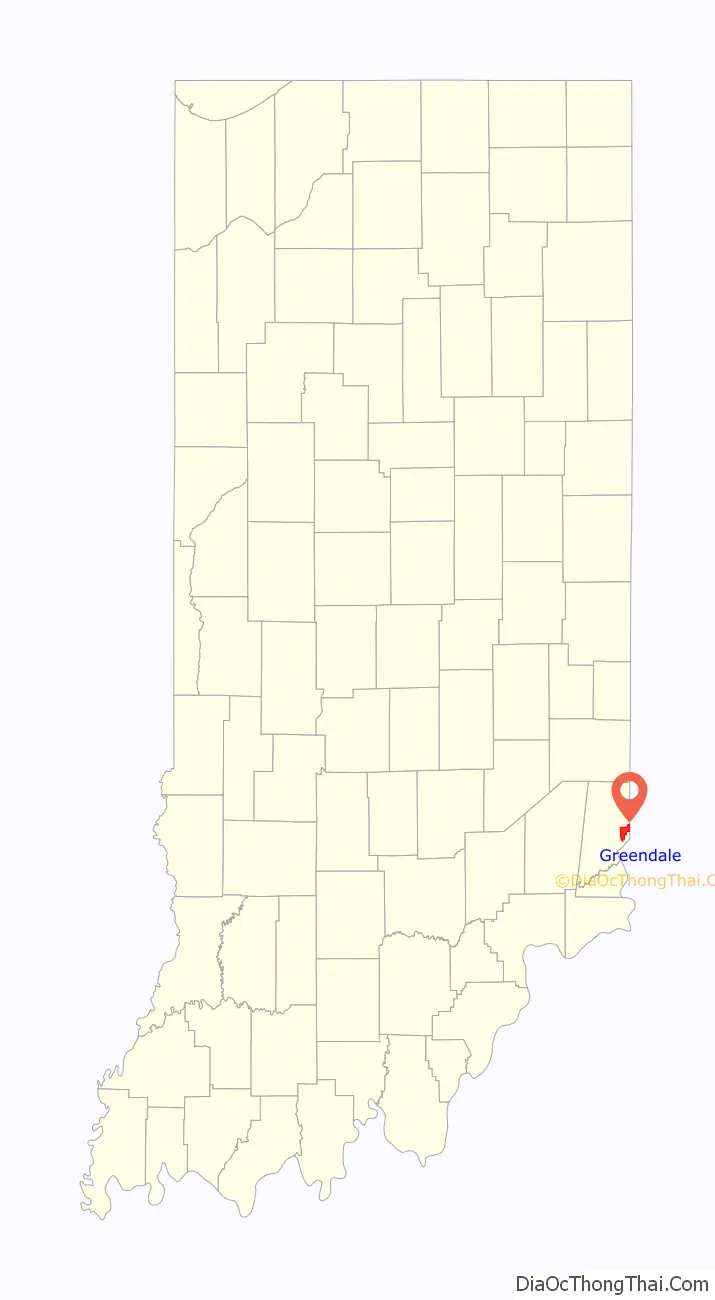
Greendale location map. Where is Greendale city?
History
Greendale was laid out in 1852, but the plat was not recorded until 1883. Greendale likely took its name from Greendale Cemetery.
Greendale Road Map
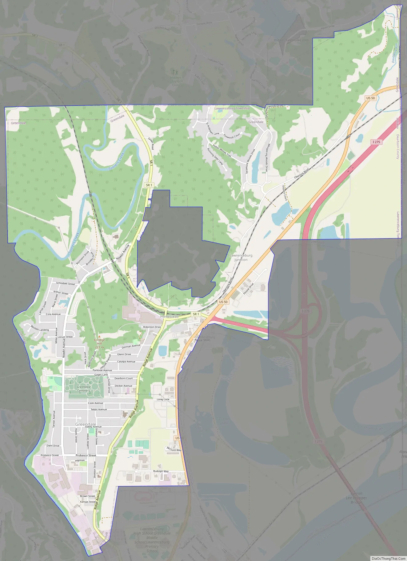
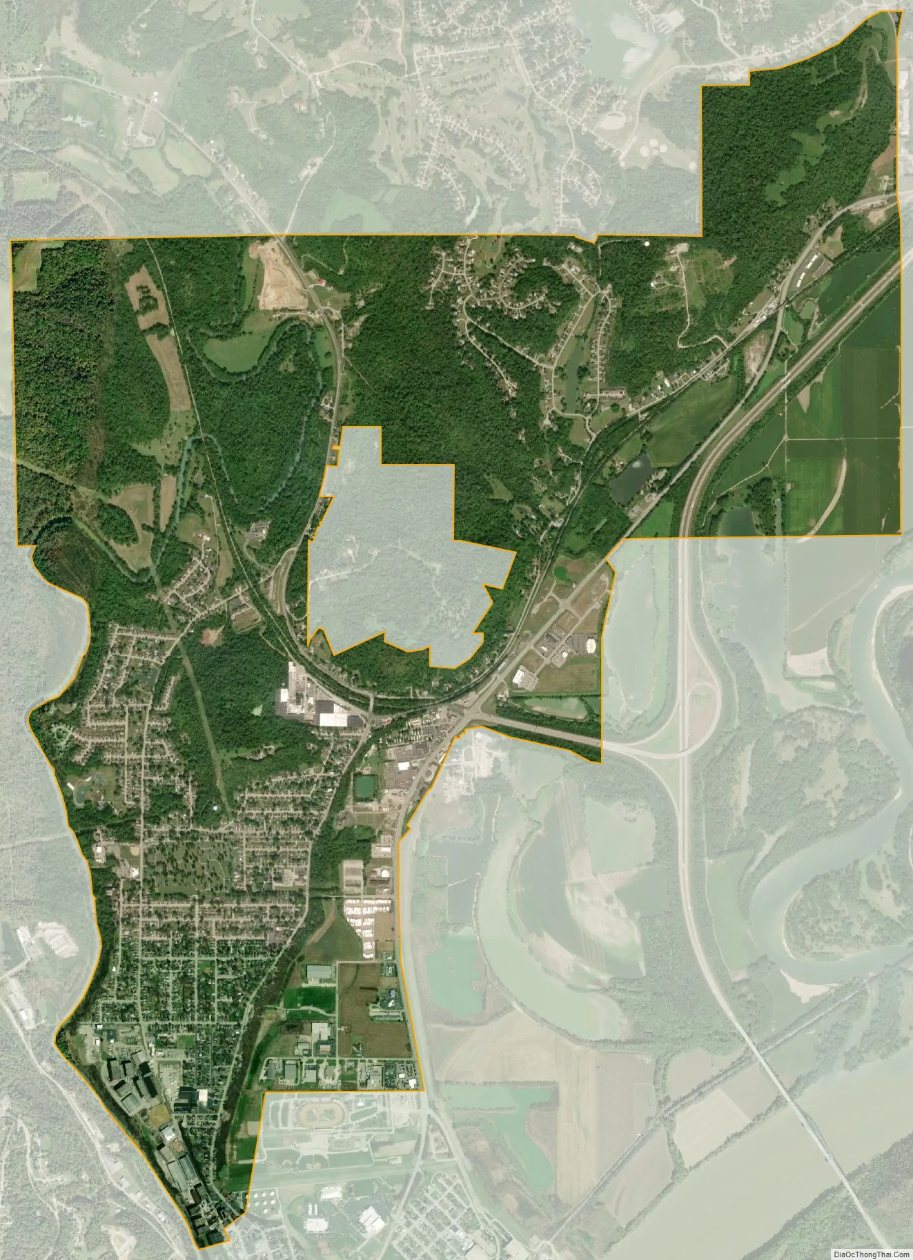
Greendale city Satellite Map
Geography
Greendale is located at 39°7′17″N 84°51′14″W / 39.12139°N 84.85389°W / 39.12139; -84.85389 (39.121438, -84.853937).
According to the 2010 census, Greendale has a total area of 5.785 square miles (14.98 km), of which 5.71 square miles (14.79 km) (or 98.7%) is land and 0.075 square miles (0.19 km) (or 1.3%) is water.
See also
Map of Indiana State and its subdivision:- Adams
- Allen
- Bartholomew
- Benton
- Blackford
- Boone
- Brown
- Carroll
- Cass
- Clark
- Clay
- Clinton
- Crawford
- Daviess
- De Kalb
- Dearborn
- Decatur
- Delaware
- Dubois
- Elkhart
- Fayette
- Floyd
- Fountain
- Franklin
- Fulton
- Gibson
- Grant
- Greene
- Hamilton
- Hancock
- Harrison
- Hendricks
- Henry
- Howard
- Huntington
- Jackson
- Jasper
- Jay
- Jefferson
- Jennings
- Johnson
- Knox
- Kosciusko
- LaGrange
- Lake
- Lake Michigan
- LaPorte
- Lawrence
- Madison
- Marion
- Marshall
- Martin
- Miami
- Monroe
- Montgomery
- Morgan
- Newton
- Noble
- Ohio
- Orange
- Owen
- Parke
- Perry
- Pike
- Porter
- Posey
- Pulaski
- Putnam
- Randolph
- Ripley
- Rush
- Saint Joseph
- Scott
- Shelby
- Spencer
- Starke
- Steuben
- Sullivan
- Switzerland
- Tippecanoe
- Tipton
- Union
- Vanderburgh
- Vermillion
- Vigo
- Wabash
- Warren
- Warrick
- Washington
- Wayne
- Wells
- White
- Whitley
- Alabama
- Alaska
- Arizona
- Arkansas
- California
- Colorado
- Connecticut
- Delaware
- District of Columbia
- Florida
- Georgia
- Hawaii
- Idaho
- Illinois
- Indiana
- Iowa
- Kansas
- Kentucky
- Louisiana
- Maine
- Maryland
- Massachusetts
- Michigan
- Minnesota
- Mississippi
- Missouri
- Montana
- Nebraska
- Nevada
- New Hampshire
- New Jersey
- New Mexico
- New York
- North Carolina
- North Dakota
- Ohio
- Oklahoma
- Oregon
- Pennsylvania
- Rhode Island
- South Carolina
- South Dakota
- Tennessee
- Texas
- Utah
- Vermont
- Virginia
- Washington
- West Virginia
- Wisconsin
- Wyoming