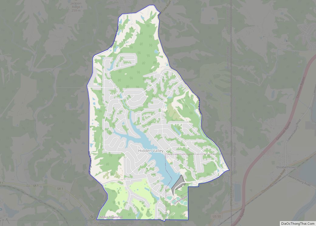
Hidden Valley is a private residential community in Dearborn County, Indiana, United States. For statistical purposes it is a census-designated place (CDP), with a population of 5,387 at the 2010 census, up from 4,417 at the 2000 census.
| Name: | Hidden Valley CDP |
|---|---|
| LSAD Code: | 57 |
| LSAD Description: | CDP (suffix) |
| State: | Indiana |
| County: | Dearborn County |
| Elevation: | 548 ft (167 m) |
| Total Area: | 4.44 sq mi (11.51 km²) |
| Land Area: | 4.24 sq mi (10.98 km²) |
| Water Area: | 0.20 sq mi (0.53 km²) |
| Total Population: | 5,529 |
| Population Density: | 1,303.70/sq mi (503.36/km²) |
| FIPS code: | 1833392 |
| GNISfeature ID: | 1867275 |
Online Interactive Map
Click on ![]() to view map in "full screen" mode.
to view map in "full screen" mode.
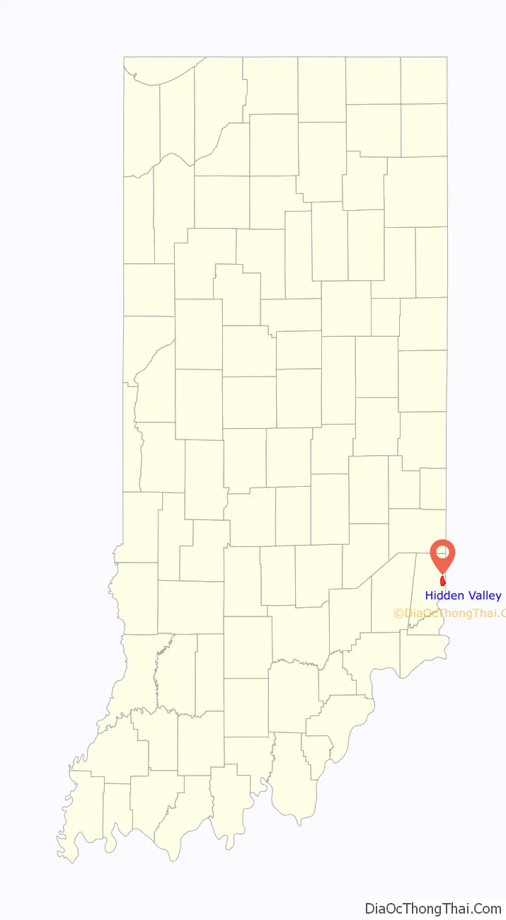
Hidden Valley location map. Where is Hidden Valley CDP?

History
The community and lake were built by land developer James Jacob Rupel, who was active in the Greater Dayton area and Indiana for over 50 years and the former owner of Centre City Building and the Carillon House in downtown Dayton. He was the developer of Hidden Valley Lake, several subdivisions near Rocky Fork State Park in Highland County, Ohio, the Valley Woods community in Greendale, Indiana, and the Country Squire Lakes community in North Vernon, Indiana.
Hidden Valley Road Map
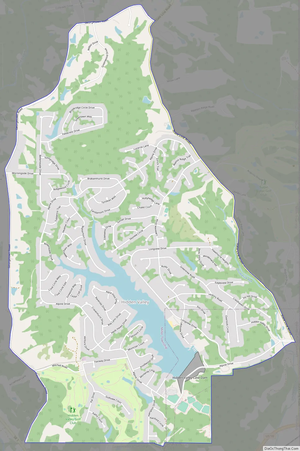
Hidden Valley city Satellite Map

Geography
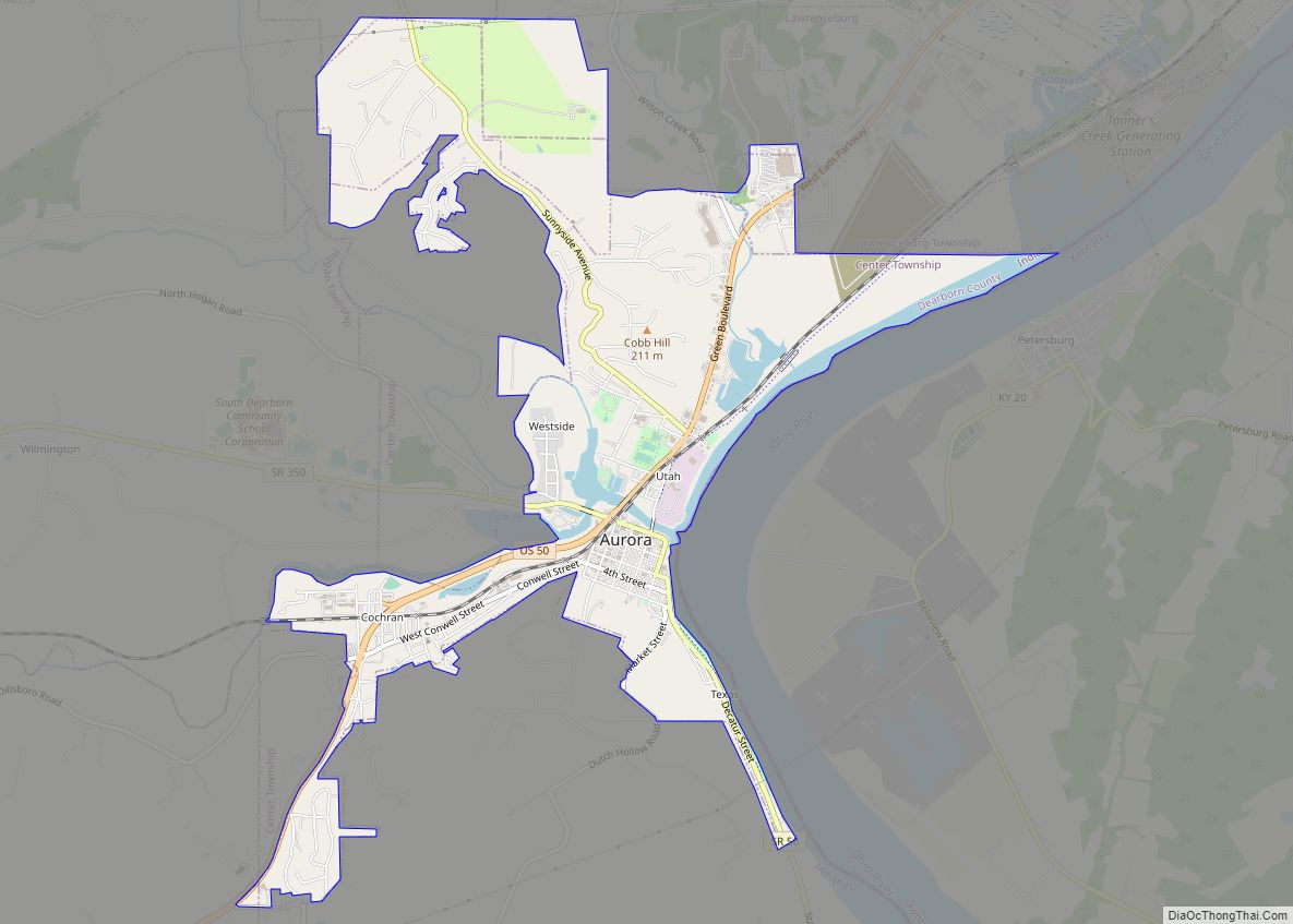
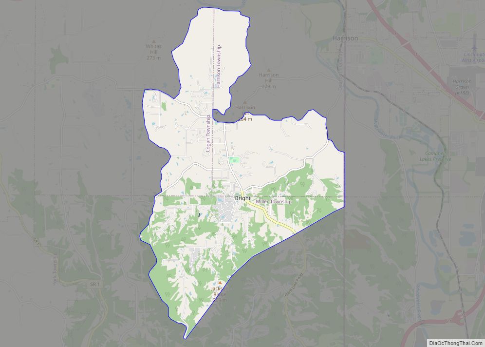
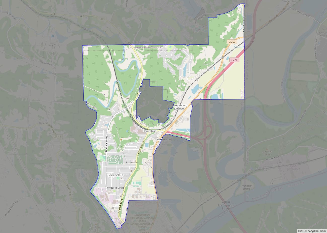
Hidden Valley is located in eastern Dearborn County at 39°9′59″N 84°50′30″W / 39.16639°N 84.84167°W / 39.16639; -84.84167 (39.166281, -84.841570), within Miller and Lawrenceburg townships. It is bordered to the south by the city of Greendale and to the east by the Ohio state line. Downtown Cincinnati is 23 miles (37 km) to the east.
According to the United States Census Bureau, the Hidden Valley CDP has a total area of 4.4 square miles (11.4 km), of which 4.1 square miles (10.7 km) is land and 0.3 square miles (0.7 km), or 6.12%, is water.
See also
Map of Indiana State and its subdivision:- Adams
- Allen
- Bartholomew
- Benton
- Blackford
- Boone
- Brown
- Carroll
- Cass
- Clark
- Clay
- Clinton
- Crawford
- Daviess
- De Kalb
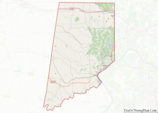
- Dearborn
- Decatur
- Delaware
- Dubois
- Elkhart
- Fayette
- Floyd
- Fountain
- Franklin
- Fulton
- Gibson
- Grant
- Greene
- Hamilton
- Hancock
- Harrison
- Hendricks
- Henry
- Howard
- Huntington
- Jackson
- Jasper
- Jay
- Jefferson
- Jennings
- Johnson
- Knox
- Kosciusko
- LaGrange
- Lake
- Lake Michigan
- LaPorte
- Lawrence
- Madison
- Marion
- Marshall
- Martin
- Miami
- Monroe
- Montgomery
- Morgan
- Newton
- Noble
- Ohio
- Orange
- Owen
- Parke
- Perry
- Pike
- Porter
- Posey
- Pulaski
- Putnam
- Randolph
- Ripley
- Rush
- Saint Joseph
- Scott
- Shelby
- Spencer
- Starke
- Steuben
- Sullivan
- Switzerland
- Tippecanoe
- Tipton
- Union
- Vanderburgh
- Vermillion
- Vigo
- Wabash
- Warren
- Warrick
- Washington
- Wayne
- Wells
- White
- Whitley
- Alabama
- Alaska
- Arizona
- Arkansas
- California
- Colorado
- Connecticut
- Delaware
- District of Columbia
- Florida
- Georgia
- Hawaii
- Idaho
- Illinois
- Indiana
- Iowa
- Kansas
- Kentucky
- Louisiana
- Maine
- Maryland
- Massachusetts
- Michigan
- Minnesota
- Mississippi
- Missouri
- Montana
- Nebraska
- Nevada
- New Hampshire
- New Jersey
- New Mexico
- New York
- North Carolina
- North Dakota
- Ohio
- Oklahoma
- Oregon
- Pennsylvania
- Rhode Island
- South Carolina
- South Dakota
- Tennessee
- Texas
- Utah
- Vermont
- Virginia
- Washington
- West Virginia
- Wisconsin
- Wyoming