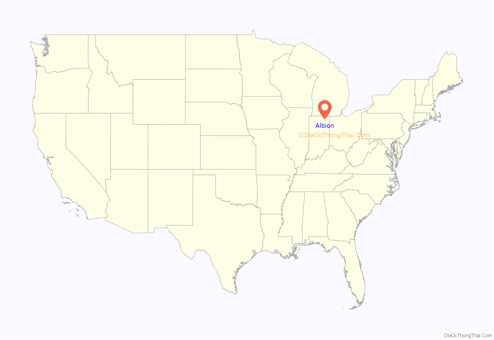
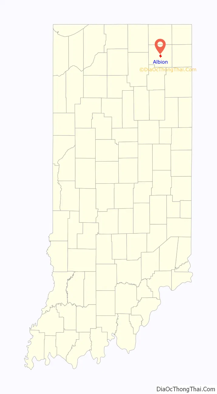
Albion is a town in Albion and Jefferson townships, Noble County, in the U.S. state of Indiana. The population was 2,349 at the 2010 census. The city is the county seat of Noble County.
| Name: | Albion town |
|---|---|
| LSAD Code: | 43 |
| LSAD Description: | town (suffix) |
| State: | Indiana |
| County: | Noble County |
| Elevation: | 955 ft (291 m) |
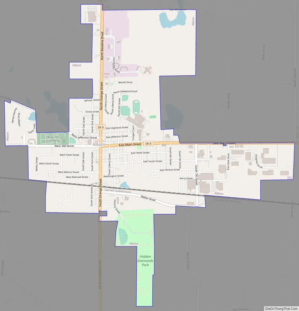
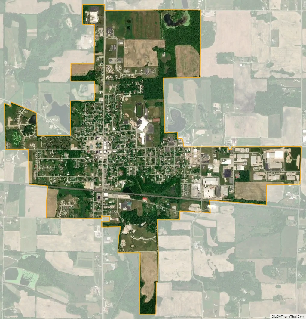
| Total Area: | 1.91 sq mi (4.94 km²) |
| Land Area: | 1.91 sq mi (4.94 km²) |
| Water Area: | 0.00 sq mi (0.00 km²) |
| Total Population: | 2,222 |
| Population Density: | 1,164.57/sq mi (449.63/km²) |
| ZIP code: | 46701 |
| Area code: | 260 |
| FIPS code: | 1800820 |
| Website: | www.albion-in.org |
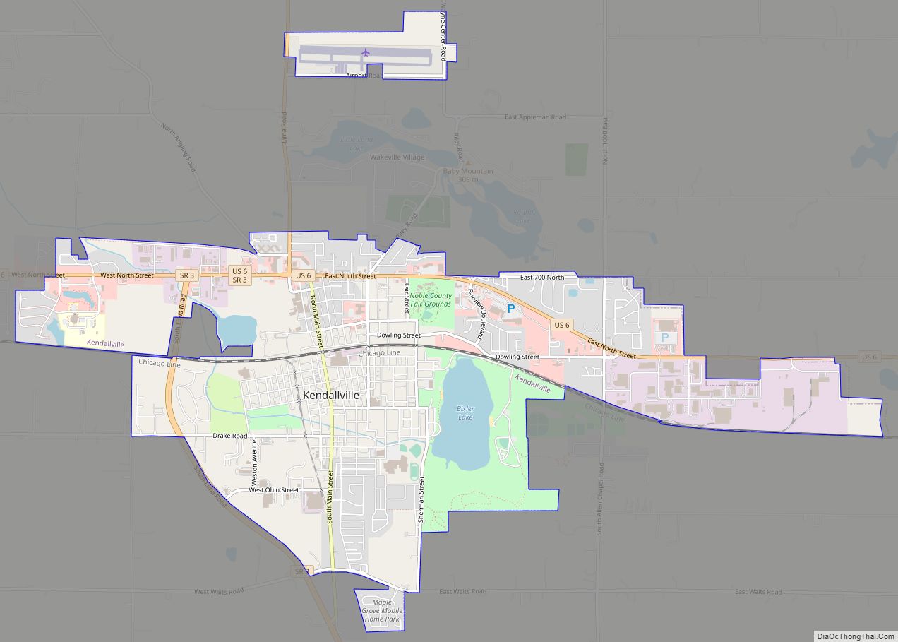
Online Interactive Map
Click on ![]() to view map in "full screen" mode.
to view map in "full screen" mode.
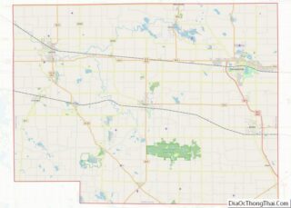
Albion location map. Where is Albion town?
History
Albion was laid out in 1846. The town was named after Albion, New York. A post office has been in operation at Albion since 1847.
The Albion Courthouse Square Historic District, Noble County Courthouse, and Noble County Sheriff’s House and Jail are listed on the National Register of Historic Places.
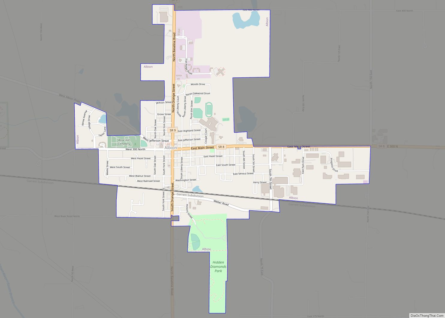
Albion Road Map
Albion city Satellite Map
Geography
Albion is located at 41°23′42″N 85°25′19″W / 41.39500°N 85.42194°W / 41.39500; -85.42194 (41.395132, -85.422026).
According to the 2010 census, Albion has a total area of 1.91 square miles (4.95 km), all land.
See also
Map of Indiana State and its subdivision:- Adams
- Allen
- Bartholomew
- Benton
- Blackford
- Boone
- Brown
- Carroll
- Cass
- Clark
- Clay
- Clinton
- Crawford
- Daviess
- De Kalb
- Dearborn
- Decatur
- Delaware
- Dubois
- Elkhart
- Fayette
- Floyd
- Fountain
- Franklin
- Fulton
- Gibson
- Grant
- Greene
- Hamilton
- Hancock
- Harrison
- Hendricks
- Henry
- Howard
- Huntington
- Jackson
- Jasper
- Jay
- Jefferson
- Jennings
- Johnson
- Knox
- Kosciusko
- LaGrange
- Lake
- Lake Michigan
- LaPorte
- Lawrence
- Madison
- Marion
- Marshall
- Martin
- Miami
- Monroe
- Montgomery
- Morgan
- Newton
- Noble
- Ohio
- Orange
- Owen
- Parke
- Perry
- Pike
- Porter
- Posey
- Pulaski
- Putnam
- Randolph
- Ripley
- Rush
- Saint Joseph
- Scott
- Shelby
- Spencer
- Starke
- Steuben
- Sullivan
- Switzerland
- Tippecanoe
- Tipton
- Union
- Vanderburgh
- Vermillion
- Vigo
- Wabash
- Warren
- Warrick
- Washington
- Wayne
- Wells
- White
- Whitley
- Alabama
- Alaska
- Arizona
- Arkansas
- California
- Colorado
- Connecticut
- Delaware
- District of Columbia
- Florida
- Georgia
- Hawaii
- Idaho
- Illinois
- Indiana
- Iowa
- Kansas
- Kentucky
- Louisiana
- Maine
- Maryland
- Massachusetts
- Michigan
- Minnesota
- Mississippi
- Missouri
- Montana
- Nebraska
- Nevada
- New Hampshire
- New Jersey
- New Mexico
- New York
- North Carolina
- North Dakota
- Ohio
- Oklahoma
- Oregon
- Pennsylvania
- Rhode Island
- South Carolina
- South Dakota
- Tennessee
- Texas
- Utah
- Vermont
- Virginia
- Washington
- West Virginia
- Wisconsin
- Wyoming