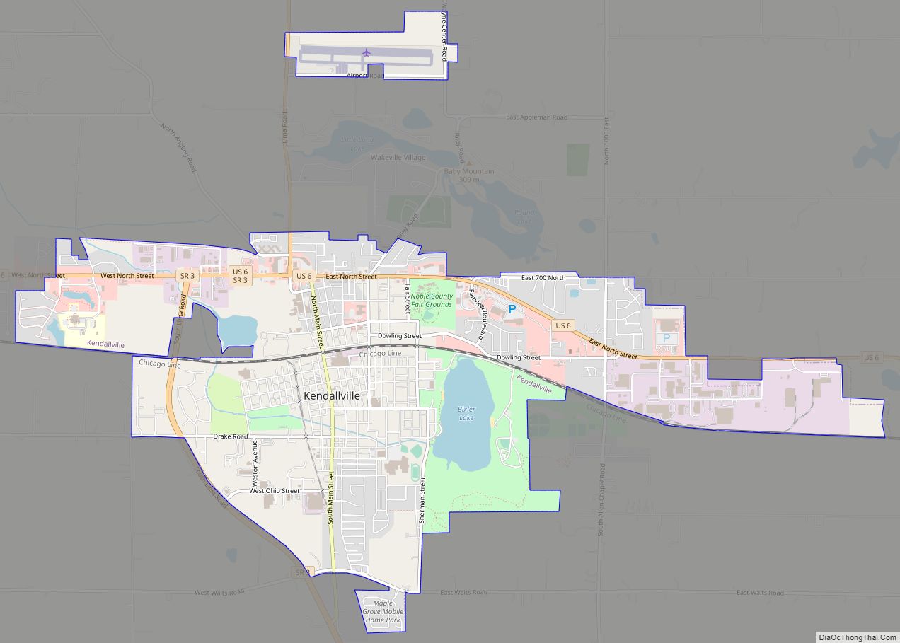
Kendallville is a city in Wayne Township, Noble County, in the U.S. state of Indiana. The population was 10,205 at the 2021 census.
| Name: | Kendallville city |
|---|---|
| LSAD Code: | 25 |
| LSAD Description: | city (suffix) |
| State: | Indiana |
| County: | Noble County |
| Elevation: | 988 ft (301 m) |
| Total Area: | 6.34 sq mi (16.42 km²) |
| Land Area: | 6.12 sq mi (15.84 km²) |
| Water Area: | 0.22 sq mi (0.58 km²) |
| Total Population: | 10,271 |
| Population Density: | 1,679.64/sq mi (648.47/km²) |
| ZIP code: | 46755 |
| Area code: | 260 |
| FIPS code: | 1839402 |
| GNISfeature ID: | 437239 |
| Website: | http://www.kendallville-in.org |
Online Interactive Map
Click on ![]() to view map in "full screen" mode.
to view map in "full screen" mode.
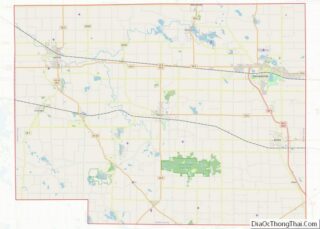
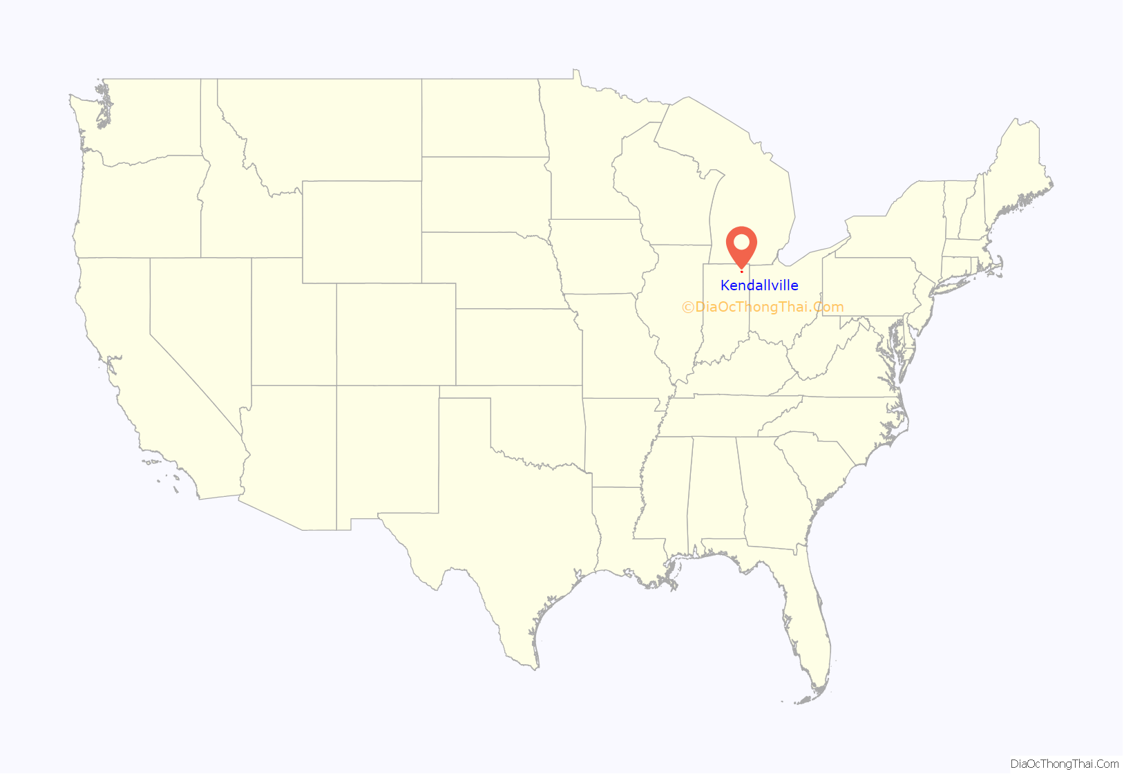
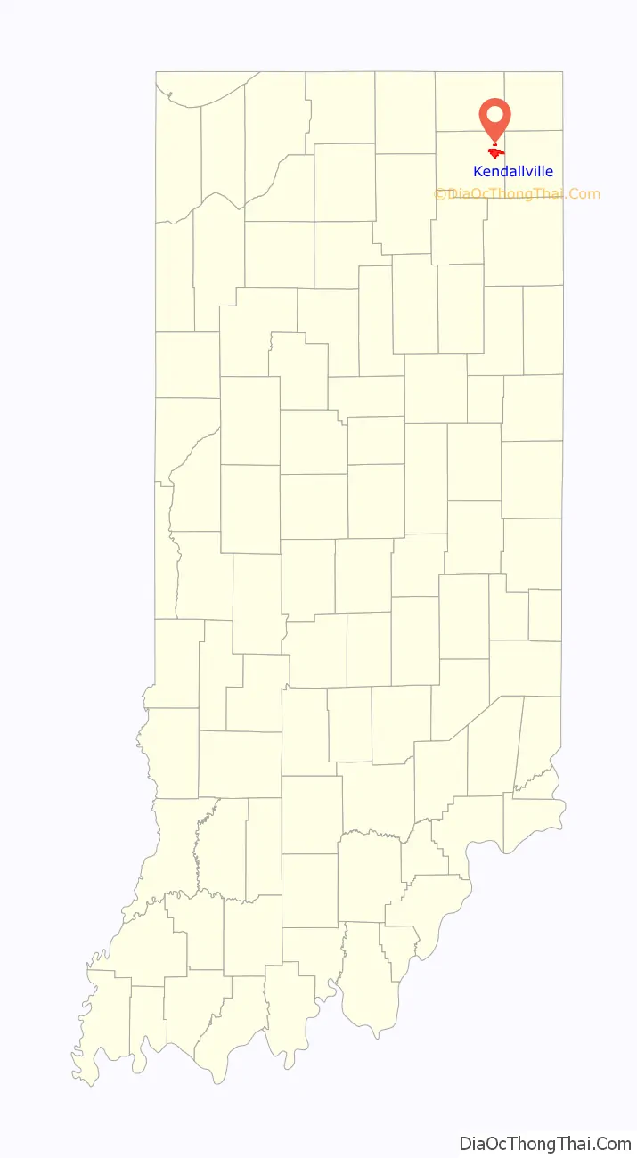
Kendallville location map. Where is Kendallville city?
History
Kendallville was laid out in 1849. The city was named for Amos Kendall, 8th United States Postmaster General.
A post office has been in operation at Kendallville since 1837.
The Iddings-Gilbert-Leader-Anderson Block and Kendallville Downtown Historic District are listed on the National Register of Historic Places.
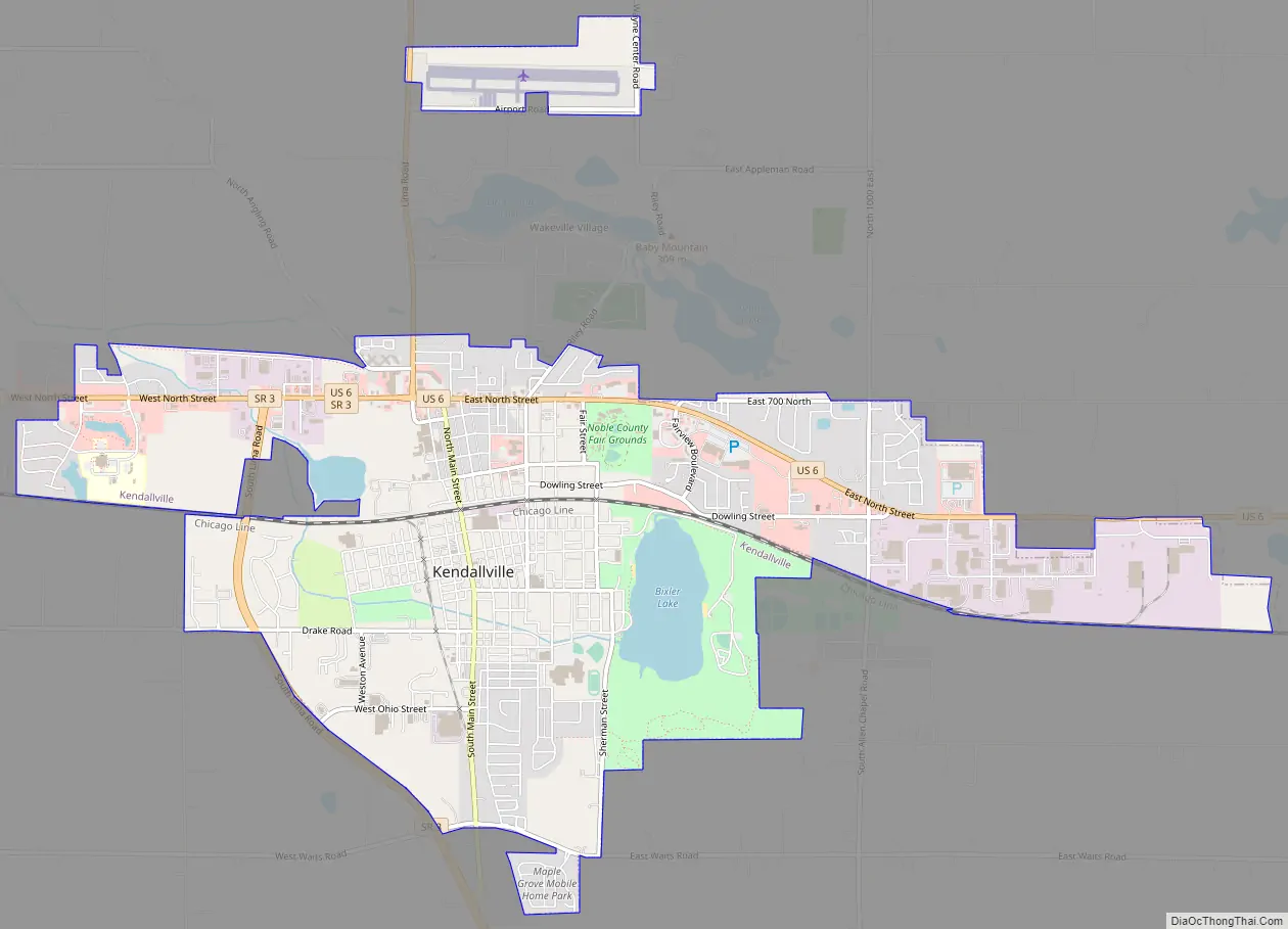
Kendallville Road Map
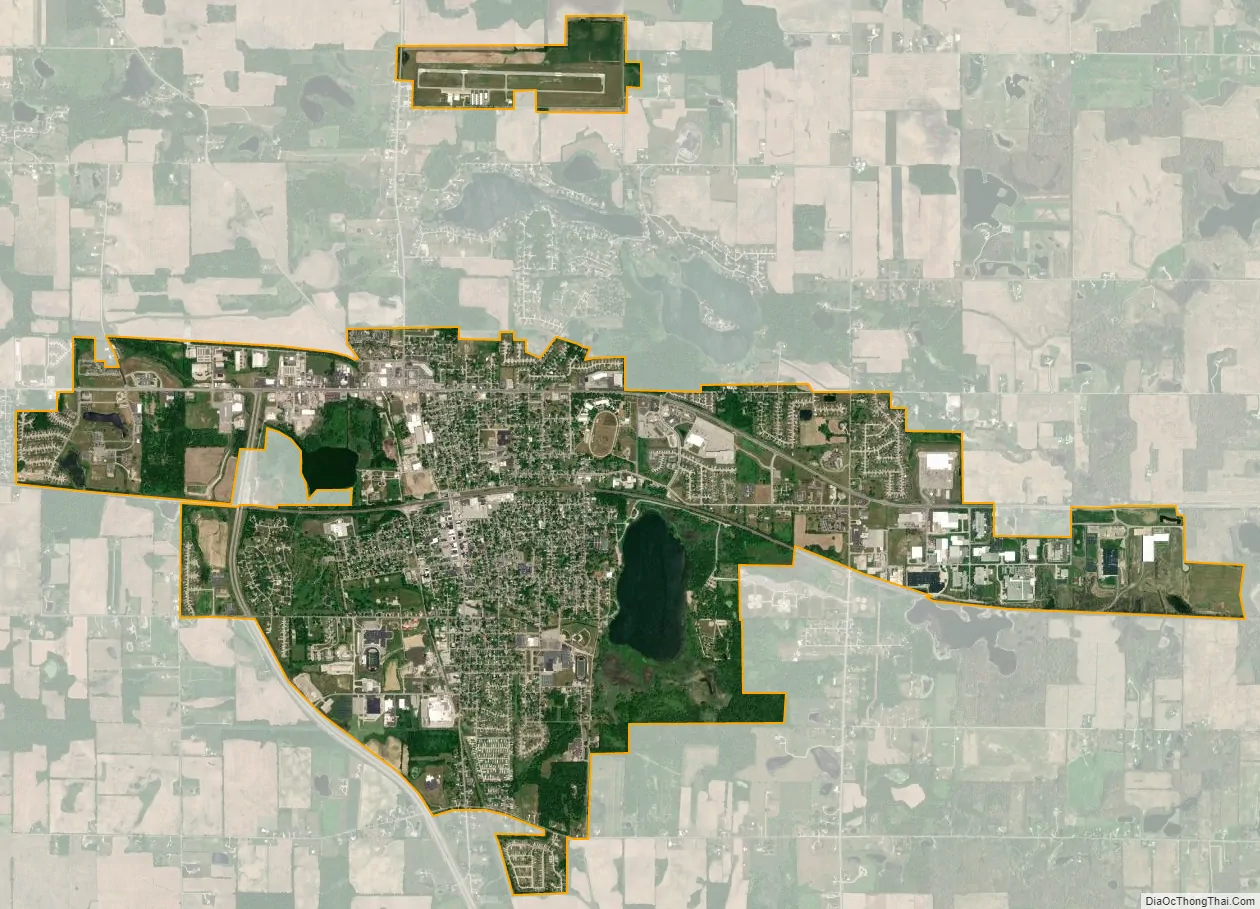
Kendallville city Satellite Map
Geography
According to the 2010 census, Kendallville has a total area of 6.264 square miles (16.22 km), of which 6.04 square miles (15.64 km) (or 96.42%) is land and 0.224 square miles (0.58 km) (or 3.58%) is water.
See also
Map of Indiana State and its subdivision:- Adams
- Allen
- Bartholomew
- Benton
- Blackford
- Boone
- Brown
- Carroll
- Cass
- Clark
- Clay
- Clinton
- Crawford
- Daviess
- De Kalb
- Dearborn
- Decatur
- Delaware
- Dubois
- Elkhart
- Fayette
- Floyd
- Fountain
- Franklin
- Fulton
- Gibson
- Grant
- Greene
- Hamilton
- Hancock
- Harrison
- Hendricks
- Henry
- Howard
- Huntington
- Jackson
- Jasper
- Jay
- Jefferson
- Jennings
- Johnson
- Knox
- Kosciusko
- LaGrange
- Lake
- Lake Michigan
- LaPorte
- Lawrence
- Madison
- Marion
- Marshall
- Martin
- Miami
- Monroe
- Montgomery
- Morgan
- Newton
- Noble
- Ohio
- Orange
- Owen
- Parke
- Perry
- Pike
- Porter
- Posey
- Pulaski
- Putnam
- Randolph
- Ripley
- Rush
- Saint Joseph
- Scott
- Shelby
- Spencer
- Starke
- Steuben
- Sullivan
- Switzerland
- Tippecanoe
- Tipton
- Union
- Vanderburgh
- Vermillion
- Vigo
- Wabash
- Warren
- Warrick
- Washington
- Wayne
- Wells
- White
- Whitley
- Alabama
- Alaska
- Arizona
- Arkansas
- California
- Colorado
- Connecticut
- Delaware
- District of Columbia
- Florida
- Georgia
- Hawaii
- Idaho
- Illinois
- Indiana
- Iowa
- Kansas
- Kentucky
- Louisiana
- Maine
- Maryland
- Massachusetts
- Michigan
- Minnesota
- Mississippi
- Missouri
- Montana
- Nebraska
- Nevada
- New Hampshire
- New Jersey
- New Mexico
- New York
- North Carolina
- North Dakota
- Ohio
- Oklahoma
- Oregon
- Pennsylvania
- Rhode Island
- South Carolina
- South Dakota
- Tennessee
- Texas
- Utah
- Vermont
- Virginia
- Washington
- West Virginia
- Wisconsin
- Wyoming