Daleville is a town in Salem Township, Delaware County, Indiana, United States. The population was 1,651 at the 2020 census. It is part of the Muncie, IN Metropolitan Statistical Area.
| Name: | Daleville town |
|---|---|
| LSAD Code: | 43 |
| LSAD Description: | town (suffix) |
| State: | Indiana |
| County: | Delaware County |
| Elevation: | 912 ft (278 m) |
| Total Area: | 2.15 sq mi (5.57 km²) |
| Land Area: | 2.13 sq mi (5.51 km²) |
| Water Area: | 0.02 sq mi (0.06 km²) |
| Total Population: | 1,651 |
| Population Density: | 775.85/sq mi (299.51/km²) |
| ZIP code: | 47334 |
| Area code: | 765 |
| FIPS code: | 1816642 |
| GNISfeature ID: | 0433295 |
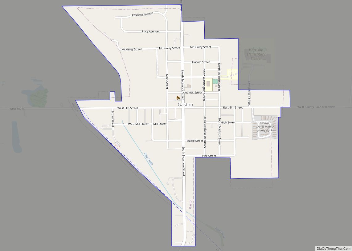
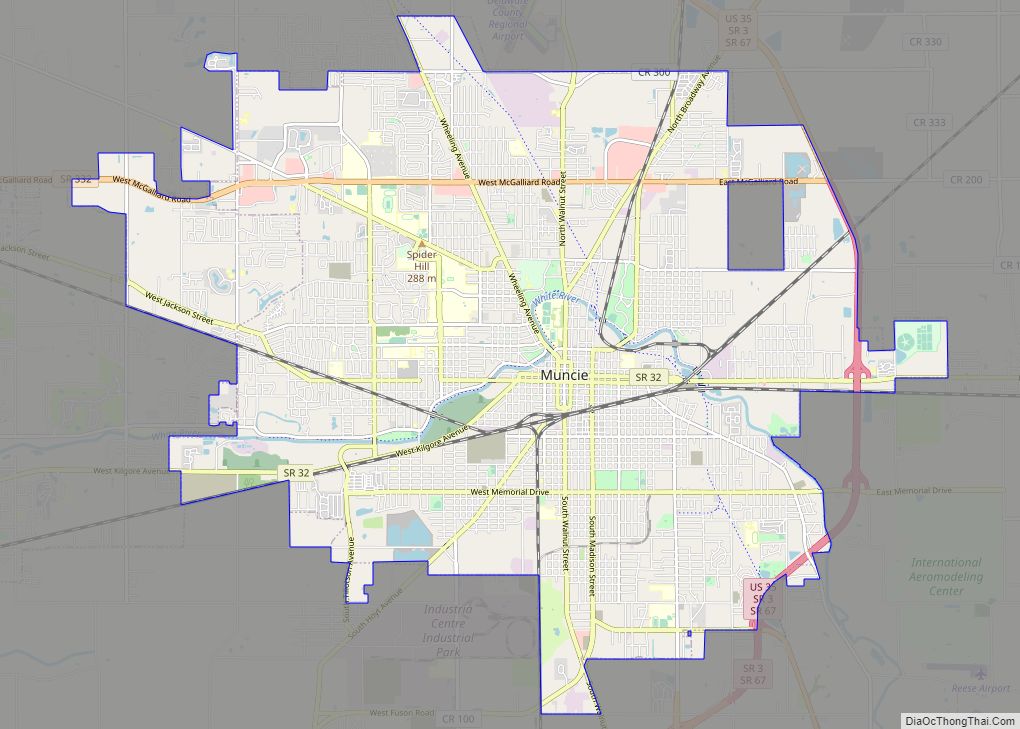
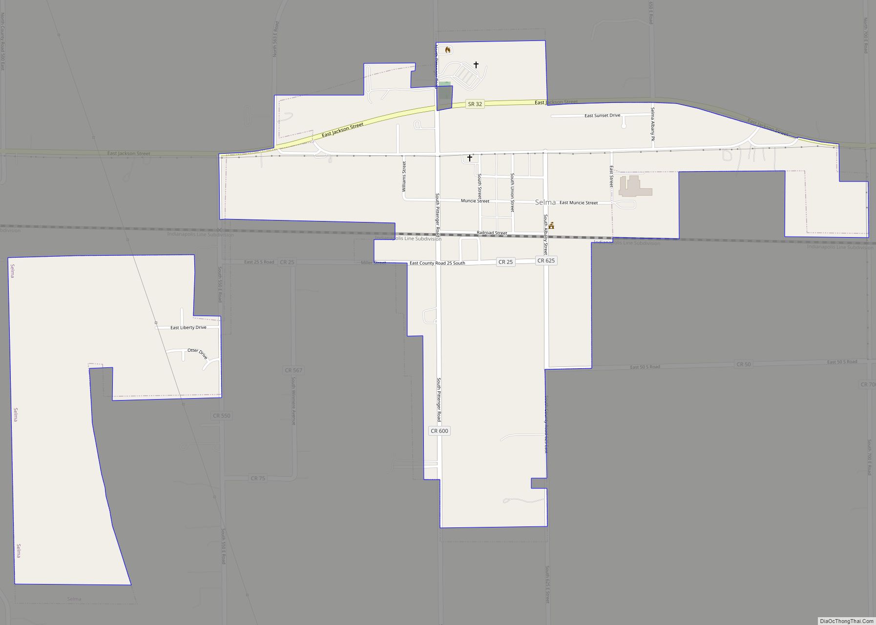
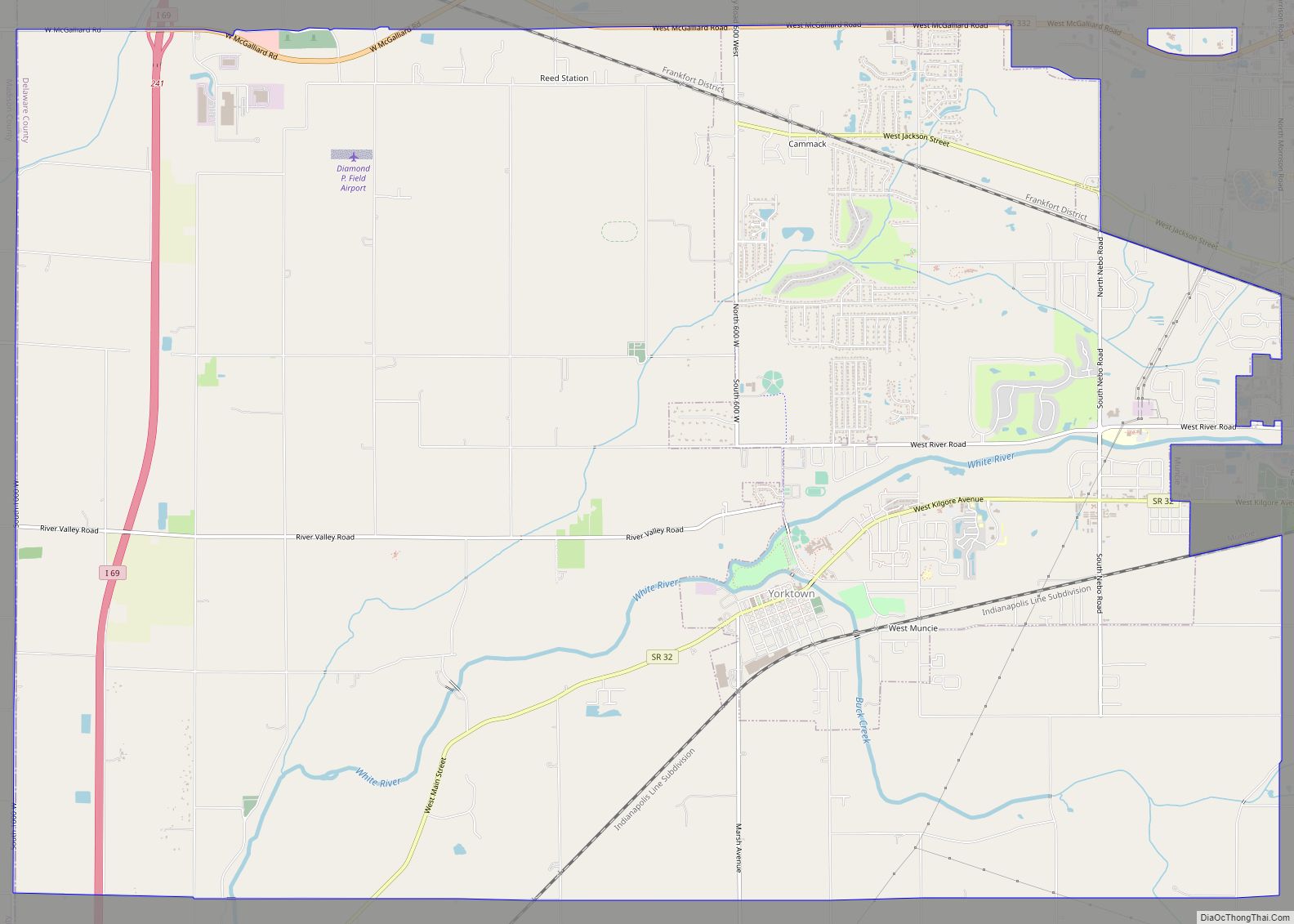
Online Interactive Map
Click on ![]() to view map in "full screen" mode.
to view map in "full screen" mode.
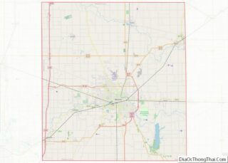
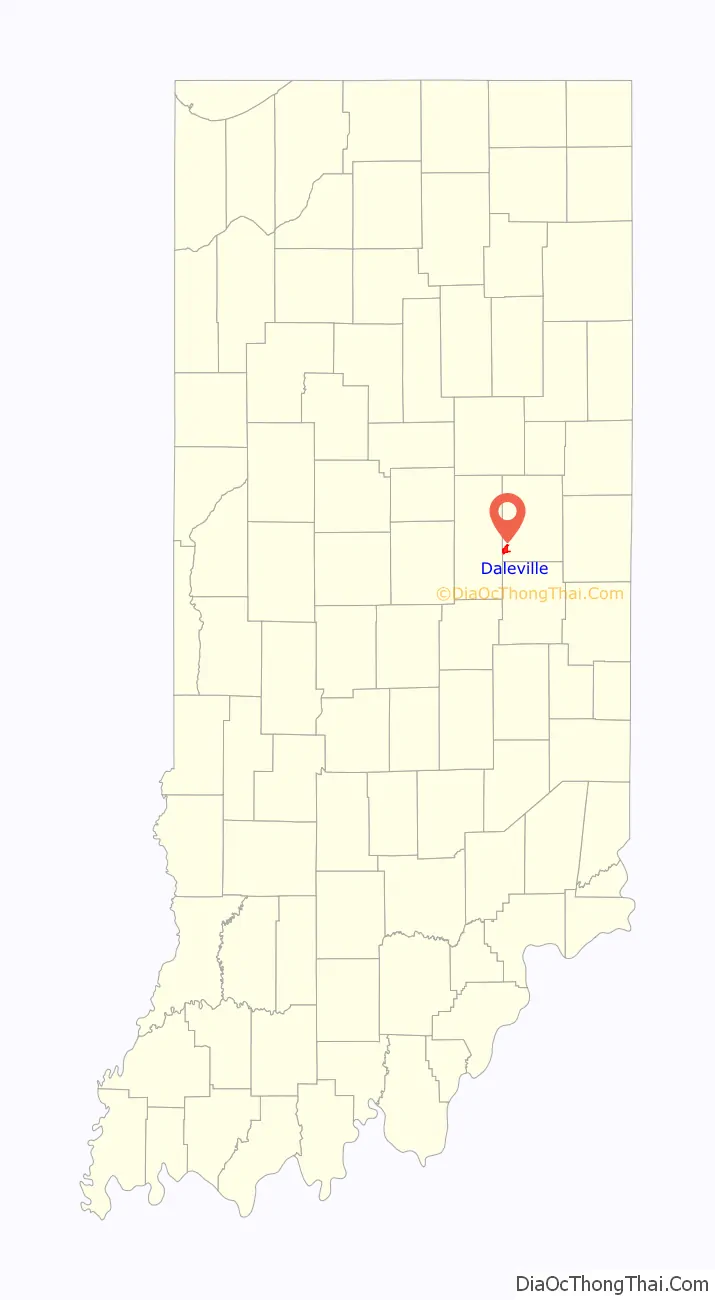
Daleville location map. Where is Daleville town?

History
Daleville was founded by American Revolutionary War veteran Alexander “Campbell” Dale.
Daleville was named Campbell Dale, when his family settled at the site in the 1820s. It was platted in 1838.
Daleville is the newest town in Indiana, as it was officially incorporated as a town in 1982.
The Daleville Broncos high school baseball team won the 2016 and 2018 Indiana high school athletic association 1a baseball state titles.
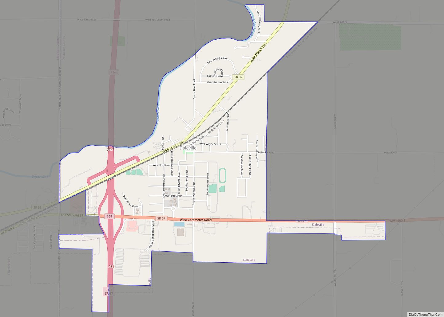
Daleville Road Map

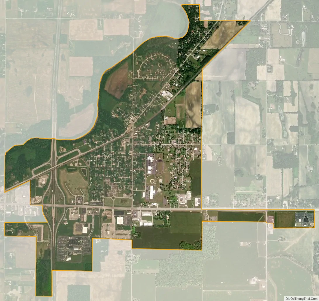
Daleville city Satellite Map
Geography
Daleville is located at 40°07′15″N 85°33′32″W / 40.120747°N 85.558759°W / 40.120747; -85.558759.
According to the 2010 census, Daleville has a total area of 2.07 square miles (5.36 km), of which 2.05 square miles (5.31 km) (or 99.03%) is land and 0.02 square miles (0.05 km) (or 0.97%) is water.
See also
Map of Indiana State and its subdivision:- Adams
- Allen
- Bartholomew
- Benton
- Blackford
- Boone
- Brown
- Carroll
- Cass
- Clark
- Clay
- Clinton
- Crawford
- Daviess
- De Kalb
- Dearborn
- Decatur
- Delaware
- Dubois
- Elkhart
- Fayette
- Floyd
- Fountain
- Franklin
- Fulton
- Gibson
- Grant
- Greene
- Hamilton
- Hancock
- Harrison
- Hendricks
- Henry
- Howard
- Huntington
- Jackson
- Jasper
- Jay
- Jefferson
- Jennings
- Johnson
- Knox
- Kosciusko
- LaGrange
- Lake
- Lake Michigan
- LaPorte
- Lawrence
- Madison
- Marion
- Marshall
- Martin
- Miami
- Monroe
- Montgomery
- Morgan
- Newton
- Noble
- Ohio
- Orange
- Owen
- Parke
- Perry
- Pike
- Porter
- Posey
- Pulaski
- Putnam
- Randolph
- Ripley
- Rush
- Saint Joseph
- Scott
- Shelby
- Spencer
- Starke
- Steuben
- Sullivan
- Switzerland
- Tippecanoe
- Tipton
- Union
- Vanderburgh
- Vermillion
- Vigo
- Wabash
- Warren
- Warrick
- Washington
- Wayne
- Wells
- White
- Whitley
- Alabama
- Alaska
- Arizona
- Arkansas
- California
- Colorado
- Connecticut
- Delaware
- District of Columbia
- Florida
- Georgia
- Hawaii
- Idaho
- Illinois
- Indiana
- Iowa
- Kansas
- Kentucky
- Louisiana
- Maine
- Maryland
- Massachusetts
- Michigan
- Minnesota
- Mississippi
- Missouri
- Montana
- Nebraska
- Nevada
- New Hampshire
- New Jersey
- New Mexico
- New York
- North Carolina
- North Dakota
- Ohio
- Oklahoma
- Oregon
- Pennsylvania
- Rhode Island
- South Carolina
- South Dakota
- Tennessee
- Texas
- Utah
- Vermont
- Virginia
- Washington
- West Virginia
- Wisconsin
- Wyoming