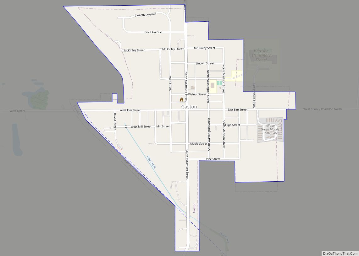
Gaston is a town in Washington Township, Delaware County, Indiana, United States. The population was 796 at the 2020 census. It is part of the Muncie, IN Metropolitan Statistical Area.
| Name: | Gaston town |
|---|---|
| LSAD Code: | 43 |
| LSAD Description: | town (suffix) |
| State: | Indiana |
| County: | Delaware County |
| Elevation: | 886 ft (270 m) |
| Total Area: | 0.36 sq mi (0.94 km²) |
| Land Area: | 0.36 sq mi (0.94 km²) |
| Water Area: | 0.00 sq mi (0.00 km²) |
| Total Population: | 796 |
| Population Density: | 2,211.11/sq mi (846.81/km²) |
| ZIP code: | 47342 |
| Area code: | 765 |
| FIPS code: | 1827072 |
| GNISfeature ID: | 0434988 |
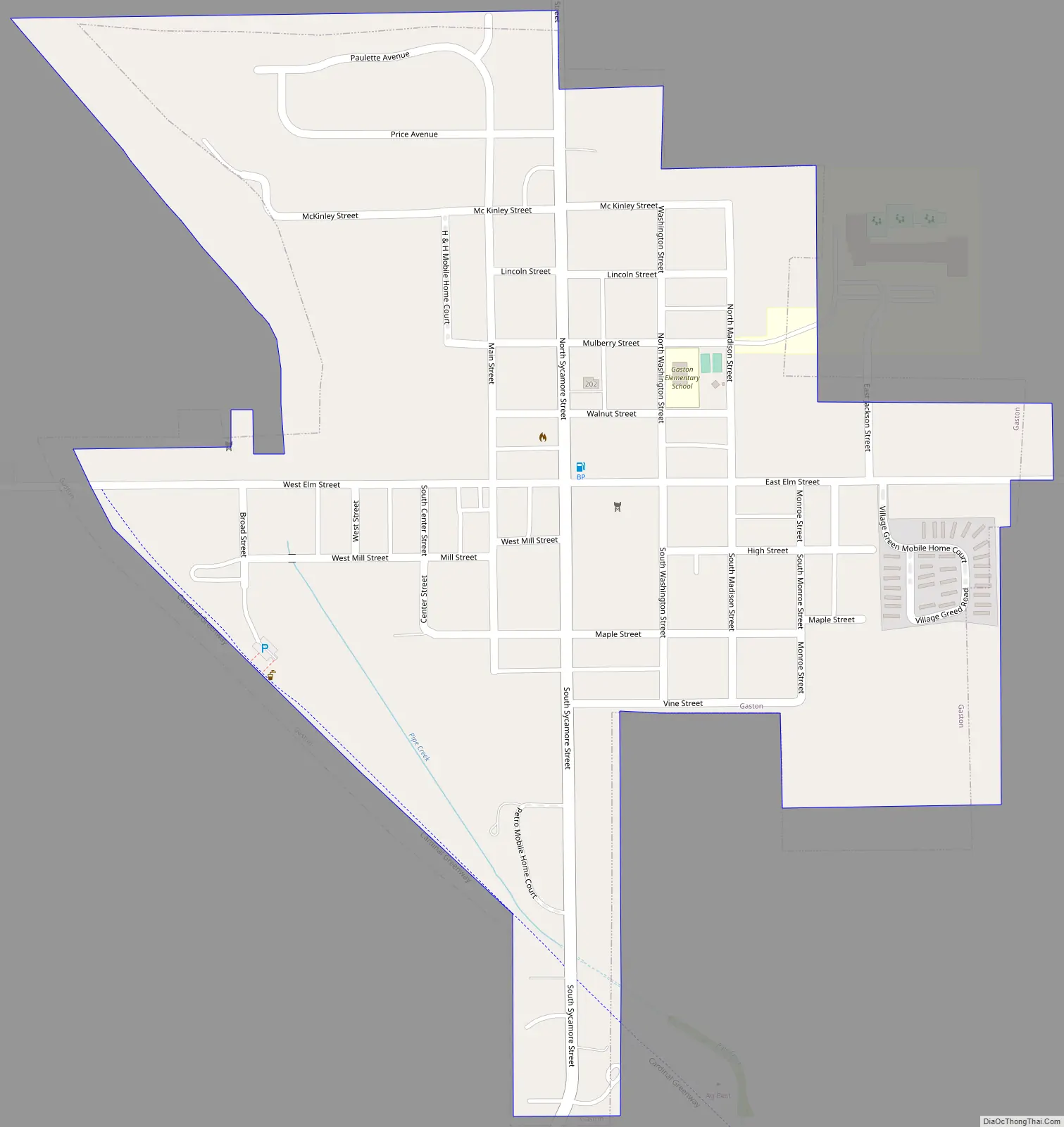
Online Interactive Map
Click on ![]() to view map in "full screen" mode.
to view map in "full screen" mode.
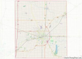
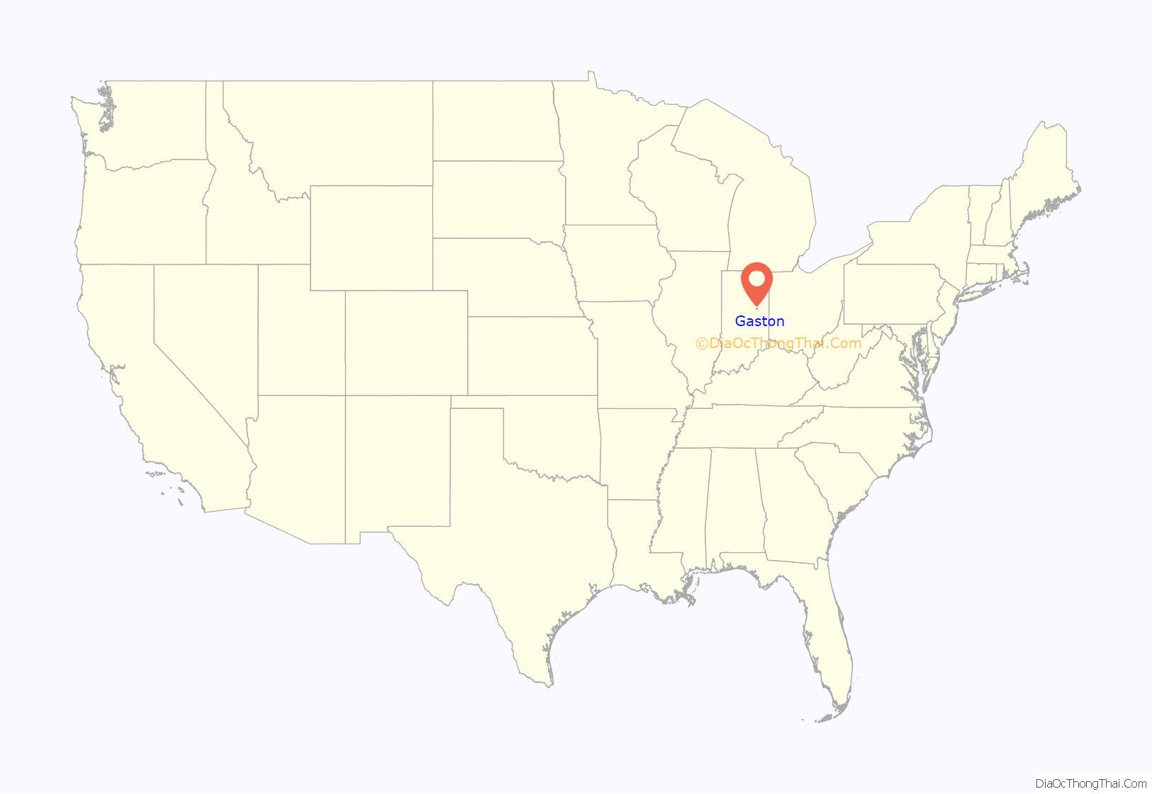
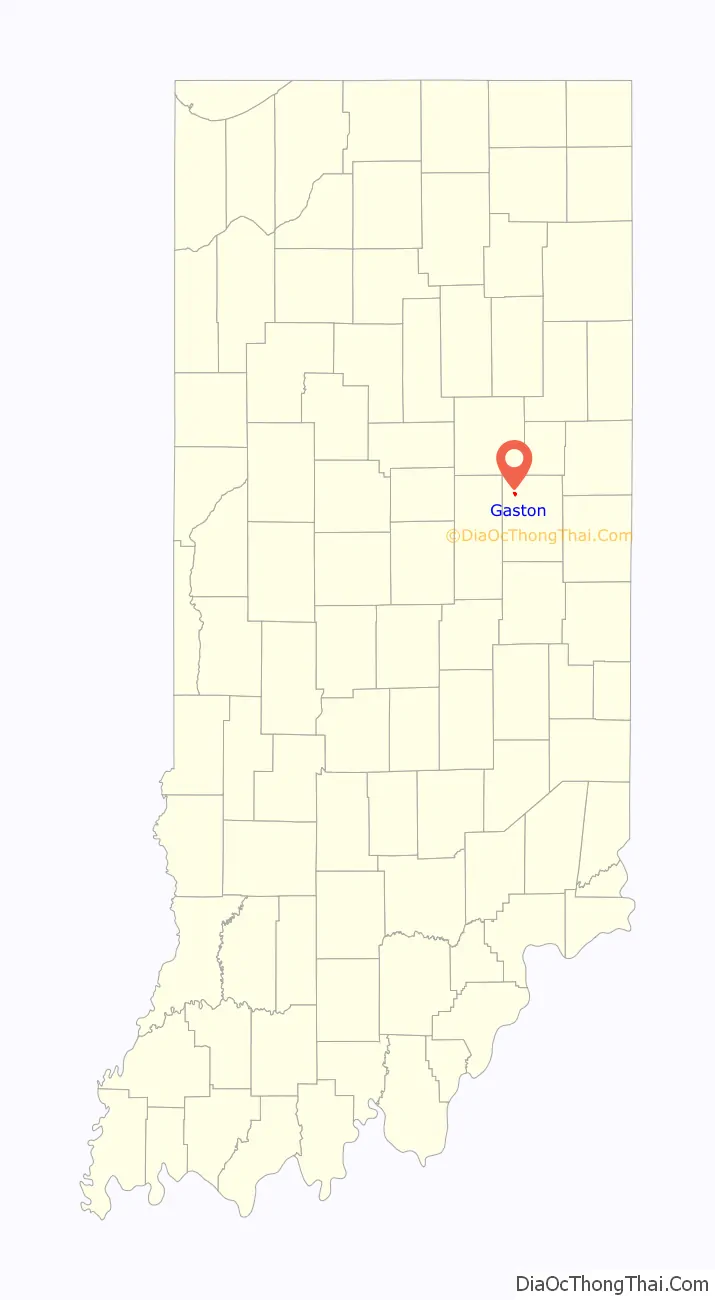
Gaston location map. Where is Gaston town?
History
Gaston was originally called Snag Town, and under the latter name was platted in 1855. The name Gaston was adopted when the railroad was built through the town in 1901.
Gaston currently has a preschool, elementary, and high school in the Wes-Del community school district. It also has a few churches, an ice cream parlor/restaurant called The Barking Cow, a funeral home and a few cemeteries located outside of the town center, a volunteer fire department and police department, a Dollar General and several small businesses. The town has also had a newspaper, The Voice, which was released every other week until it was discontinued in May 2016 after producing a total of 8 volumes and 124 newspapers for over 10 years. Wes-Del Middle/High School has produced WDN, a weekly video featuring students reporting the current events occurring in the school, and released it on YouTube. Wes-Del Middle/High School also became the first school to let students work on personal projects to be released to the school if desired and give out awards red carpet style in 2016.
The motorcade transporting Vice President Mike Pence and Karen Pence passed through Gaston on May 18, 2019. The motorcade passed in front of Wes-Del High School where contestants and volunteers in the school’s first color run had gathered and the vice president was saluted by volunteer fireman and Gaston police as he made his way to deliver a speech at Taylor University’s graduation. He also delivered a speech at the nearby Delta High School.
Gaston is hoping to grow by opening new businesses and attractions. The town is hoping to reach a population goal of 2,500 by 2025.
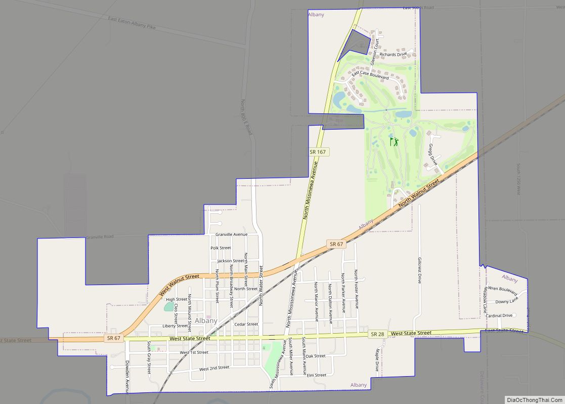
Gaston Road Map
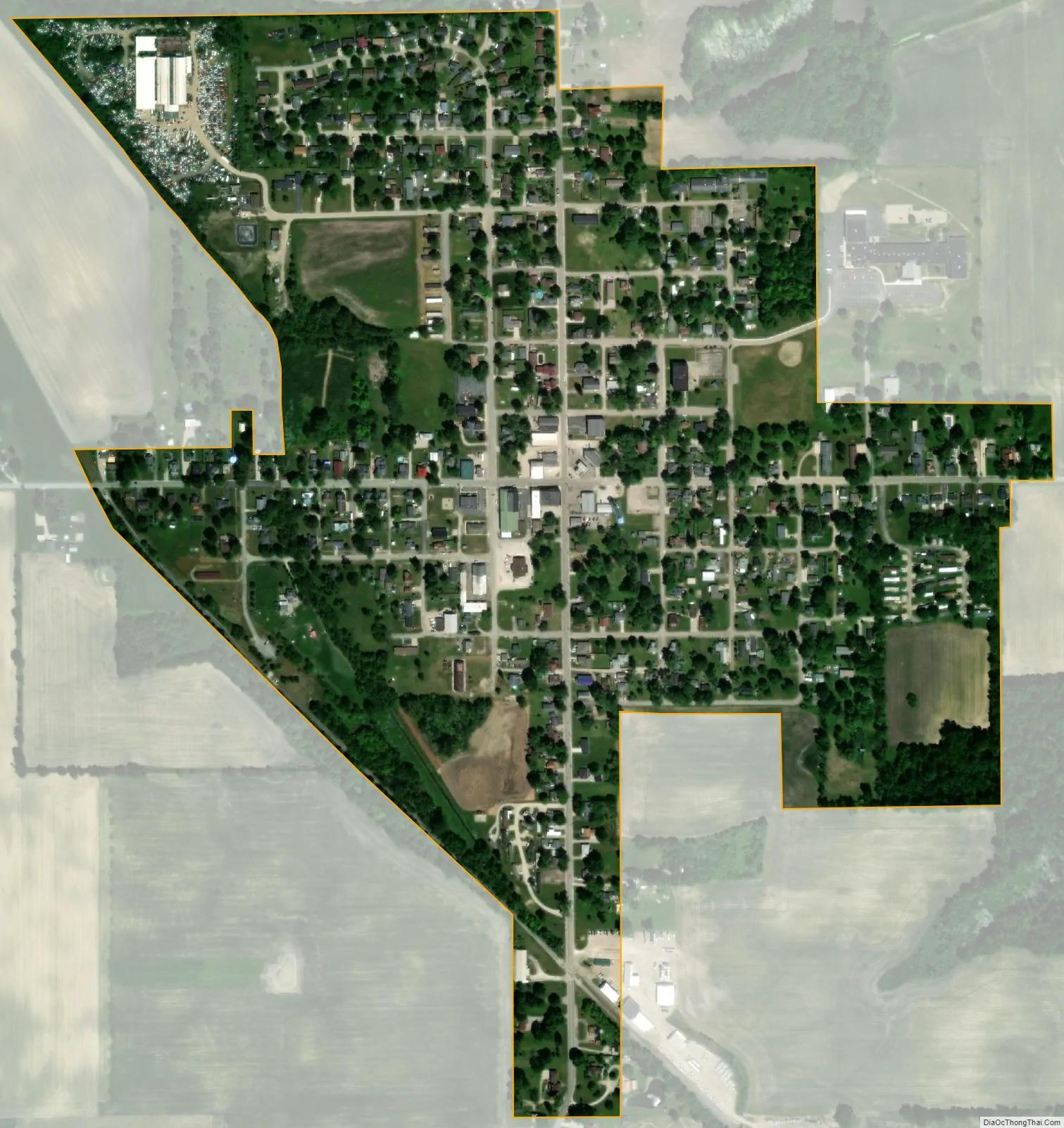
Gaston city Satellite Map
Geography
Gaston is located at 40°18′49″N 85°30′3″W / 40.31361°N 85.50083°W / 40.31361; -85.50083 (40.313547, -85.500848).
According to the 2010 census, Gaston has a total area of 0.35 square miles (0.91 km), all land.
See also
Map of Indiana State and its subdivision:- Adams
- Allen
- Bartholomew
- Benton
- Blackford
- Boone
- Brown
- Carroll
- Cass
- Clark
- Clay
- Clinton
- Crawford
- Daviess
- De Kalb
- Dearborn
- Decatur
- Delaware
- Dubois
- Elkhart
- Fayette
- Floyd
- Fountain
- Franklin
- Fulton
- Gibson
- Grant
- Greene
- Hamilton
- Hancock
- Harrison
- Hendricks
- Henry
- Howard
- Huntington
- Jackson
- Jasper
- Jay
- Jefferson
- Jennings
- Johnson
- Knox
- Kosciusko
- LaGrange
- Lake
- Lake Michigan
- LaPorte
- Lawrence
- Madison
- Marion
- Marshall
- Martin
- Miami
- Monroe
- Montgomery
- Morgan
- Newton
- Noble
- Ohio
- Orange
- Owen
- Parke
- Perry
- Pike
- Porter
- Posey
- Pulaski
- Putnam
- Randolph
- Ripley
- Rush
- Saint Joseph
- Scott
- Shelby
- Spencer
- Starke
- Steuben
- Sullivan
- Switzerland
- Tippecanoe
- Tipton
- Union
- Vanderburgh
- Vermillion
- Vigo
- Wabash
- Warren
- Warrick
- Washington
- Wayne
- Wells
- White
- Whitley
- Alabama
- Alaska
- Arizona
- Arkansas
- California
- Colorado
- Connecticut
- Delaware
- District of Columbia
- Florida
- Georgia
- Hawaii
- Idaho
- Illinois
- Indiana
- Iowa
- Kansas
- Kentucky
- Louisiana
- Maine
- Maryland
- Massachusetts
- Michigan
- Minnesota
- Mississippi
- Missouri
- Montana
- Nebraska
- Nevada
- New Hampshire
- New Jersey
- New Mexico
- New York
- North Carolina
- North Dakota
- Ohio
- Oklahoma
- Oregon
- Pennsylvania
- Rhode Island
- South Carolina
- South Dakota
- Tennessee
- Texas
- Utah
- Vermont
- Virginia
- Washington
- West Virginia
- Wisconsin
- Wyoming