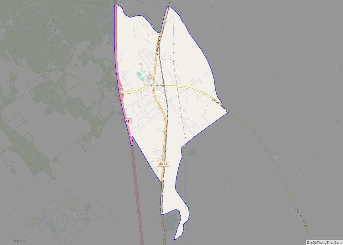
Henryville is a census-designated place (CDP) in Monroe Township, Clark County, in the U.S. state of Indiana. The population was 1,905 at the 2010 census.
Henryville is home to Indiana’s oldest state forest, Clark State Forest, and birthplace of entrepreneur Colonel Harland Sanders, whose iconic image appears in the Kentucky Fried Chicken logo and Grammy award-winning bluegrass fiddle player Michael Cleveland.
| Name: | Henryville CDP |
|---|---|
| LSAD Code: | 57 |
| LSAD Description: | CDP (suffix) |
| State: | Indiana |
| County: | Clark County |
| Elevation: | 518 ft (158 m) |
| Total Area: | 2.83 sq mi (7.33 km²) |
| Land Area: | 2.83 sq mi (7.32 km²) |
| Water Area: | 0.00 sq mi (0.01 km²) |
| Total Population: | 1,878 |
| Population Density: | 664.78/sq mi (256.64/km²) |
| ZIP code: | 47126 |
| Area code: | 812 |
| FIPS code: | 1833142 |
| GNISfeature ID: | 436039 |
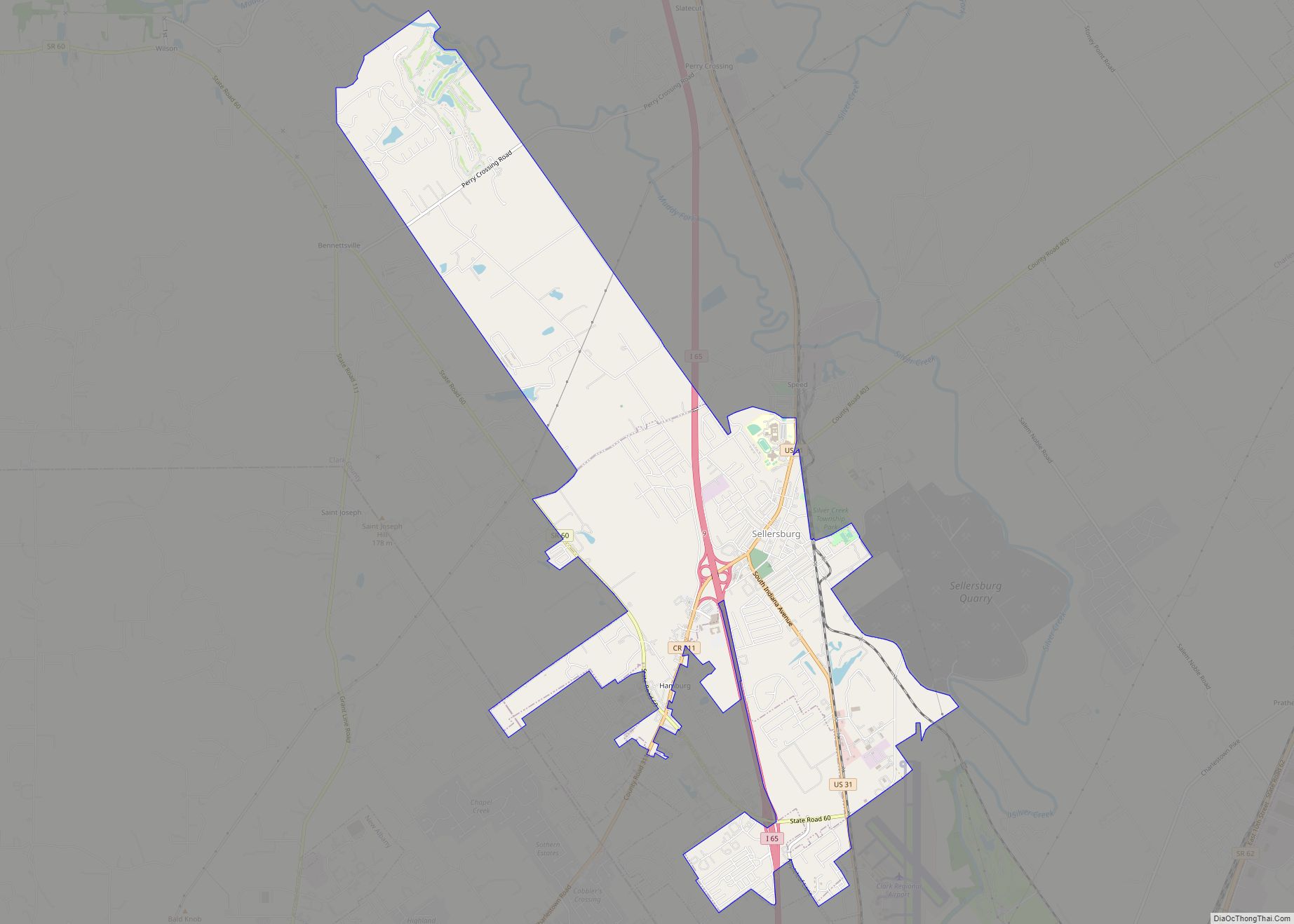
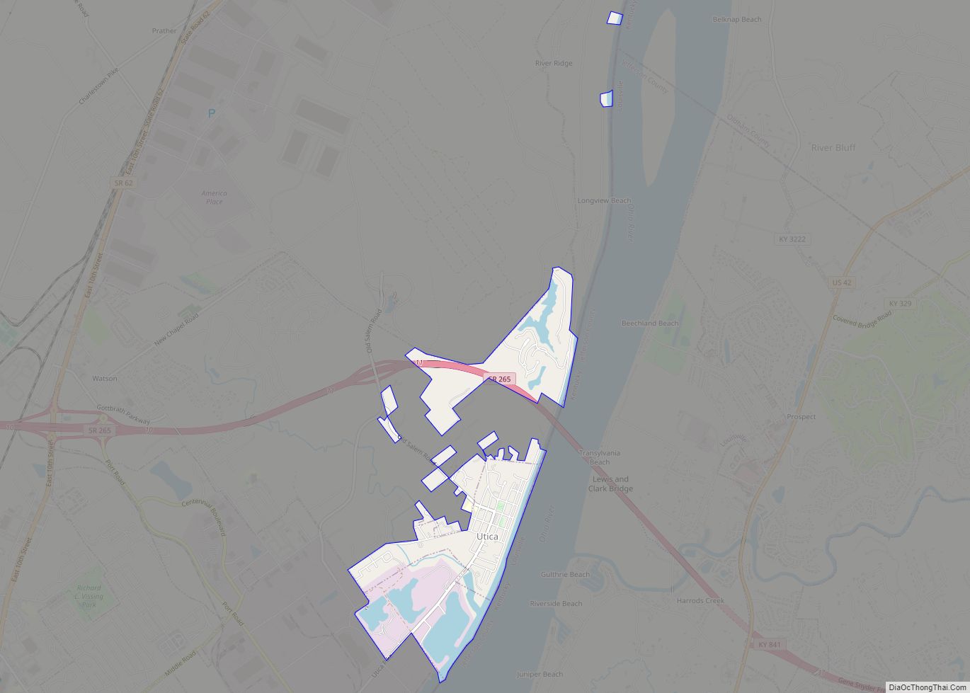
Online Interactive Map
Click on ![]() to view map in "full screen" mode.
to view map in "full screen" mode.
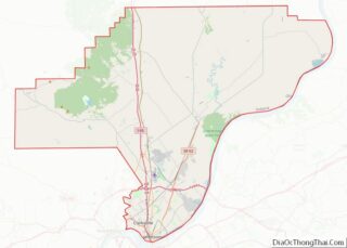
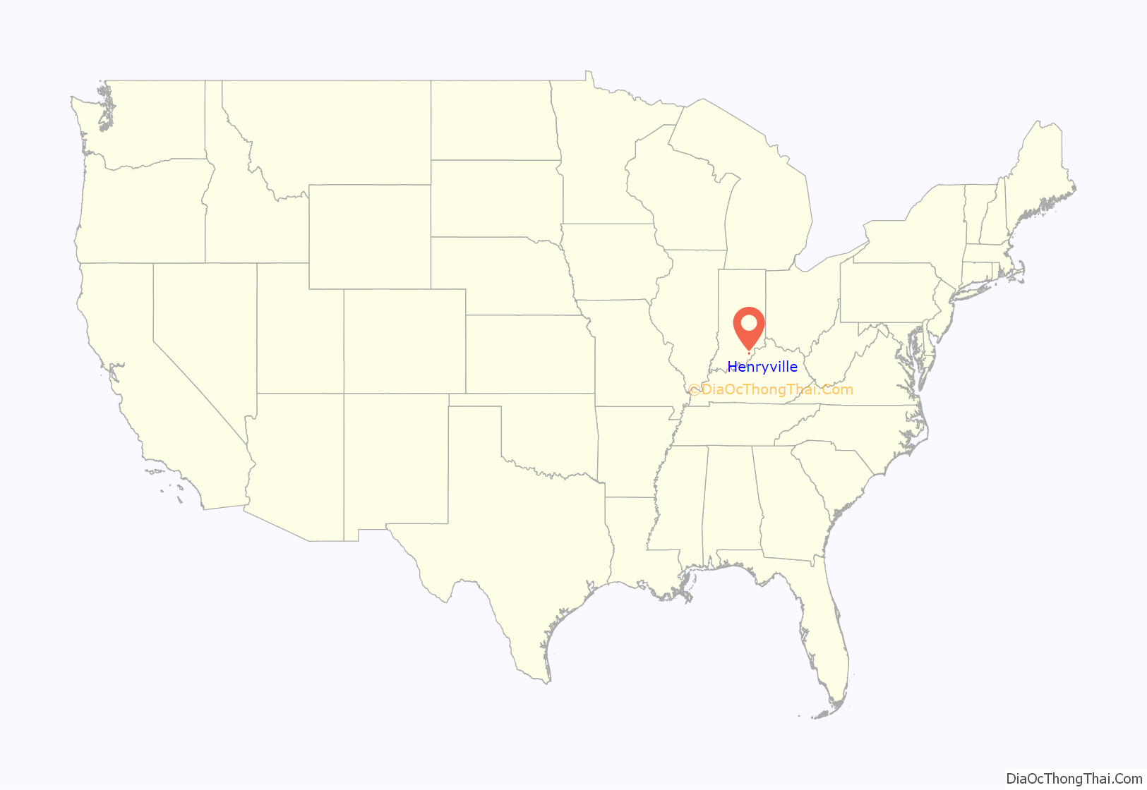
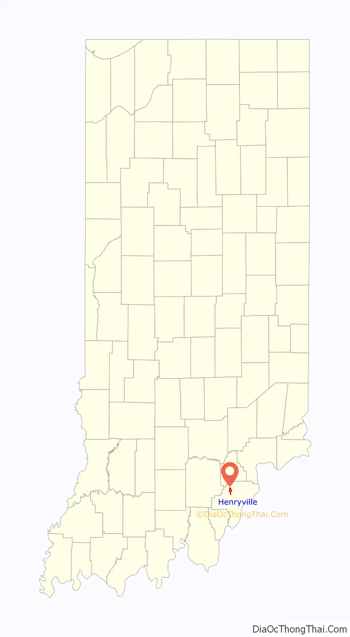
Henryville location map. Where is Henryville CDP?
History
In 1850, the village of Morristown was established. It was renamed Henryville in 1853 to honor Colonel Henry Ferguson, who was once a colonel in the Pennsylvania militia. He purchased the land on which Henryville was established, and helped persuade Pennsylvania Railroad officials to run the line through Clark County. The Henryville post office was established in 1865.
Henryville is the birthplace of “Colonel” Harland Sanders, founder of Kentucky Fried Chicken.
2012 tornado
At approximately 3:15 p.m. (EST) on March 2, 2012, an EF4 tornado caused extensive damage to Henryville, killing one person. It was on the ground for more than 50 miles. The storm destroyed Henryville Elementary School and Henryville Jr/Sr High School.
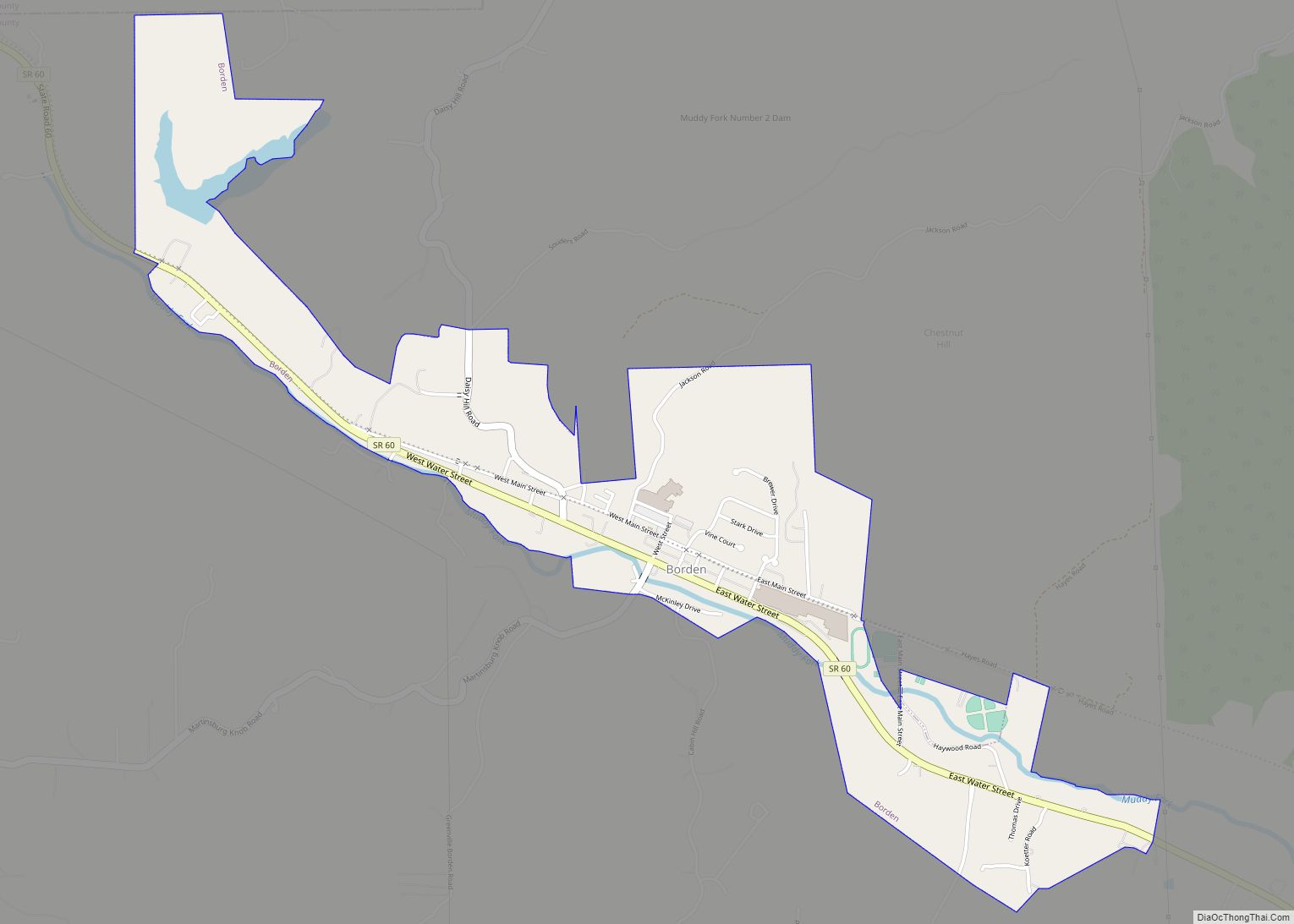
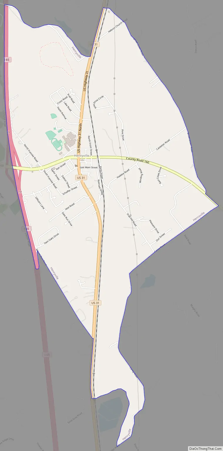
Henryville Road Map
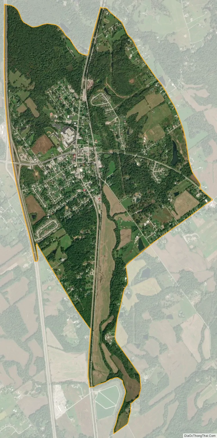
Henryville city Satellite Map
Geography
Henryville is located at 38°32′28″N 85°46′0″W / 38.54111°N 85.76667°W / 38.54111; -85.76667 (38.541088, -85.766677). According to the United States Census Bureau, the CDP has an area of 2.9 square miles (7.5 km), all land.
Climate
The climate in this area is characterized by hot, humid summers and generally mild to cool winters. According to the Köppen Climate Classification system, Henryville has a humid subtropical climate, abbreviated “Cfa” on climate maps.
See also
Map of Indiana State and its subdivision:- Adams
- Allen
- Bartholomew
- Benton
- Blackford
- Boone
- Brown
- Carroll
- Cass
- Clark
- Clay
- Clinton
- Crawford
- Daviess
- De Kalb
- Dearborn
- Decatur
- Delaware
- Dubois
- Elkhart
- Fayette
- Floyd
- Fountain
- Franklin
- Fulton
- Gibson
- Grant
- Greene
- Hamilton
- Hancock
- Harrison
- Hendricks
- Henry
- Howard
- Huntington
- Jackson
- Jasper
- Jay
- Jefferson
- Jennings
- Johnson
- Knox
- Kosciusko
- LaGrange
- Lake
- Lake Michigan
- LaPorte
- Lawrence
- Madison
- Marion
- Marshall
- Martin
- Miami
- Monroe
- Montgomery
- Morgan
- Newton
- Noble
- Ohio
- Orange
- Owen
- Parke
- Perry
- Pike
- Porter
- Posey
- Pulaski
- Putnam
- Randolph
- Ripley
- Rush
- Saint Joseph
- Scott
- Shelby
- Spencer
- Starke
- Steuben
- Sullivan
- Switzerland
- Tippecanoe
- Tipton
- Union
- Vanderburgh
- Vermillion
- Vigo
- Wabash
- Warren
- Warrick
- Washington
- Wayne
- Wells
- White
- Whitley
- Alabama
- Alaska
- Arizona
- Arkansas
- California
- Colorado
- Connecticut
- Delaware
- District of Columbia
- Florida
- Georgia
- Hawaii
- Idaho
- Illinois
- Indiana
- Iowa
- Kansas
- Kentucky
- Louisiana
- Maine
- Maryland
- Massachusetts
- Michigan
- Minnesota
- Mississippi
- Missouri
- Montana
- Nebraska
- Nevada
- New Hampshire
- New Jersey
- New Mexico
- New York
- North Carolina
- North Dakota
- Ohio
- Oklahoma
- Oregon
- Pennsylvania
- Rhode Island
- South Carolina
- South Dakota
- Tennessee
- Texas
- Utah
- Vermont
- Virginia
- Washington
- West Virginia
- Wisconsin
- Wyoming