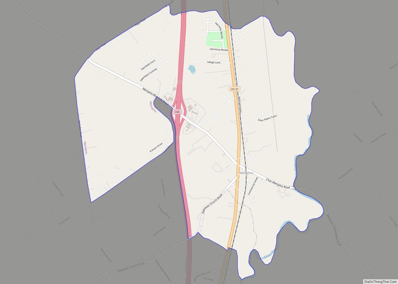
Utica is a town in Utica Township, Clark County, Indiana, United States. The population was 776 at the 2010 census.
| Name: | Utica town |
|---|---|
| LSAD Code: | 43 |
| LSAD Description: | town (suffix) |
| State: | Indiana |
| County: | Clark County |
| Elevation: | 443 ft (135 m) |
| Total Area: | 1.44 sq mi (3.73 km²) |
| Land Area: | 1.19 sq mi (3.08 km²) |
| Water Area: | 0.25 sq mi (0.65 km²) |
| Total Population: | 860 |
| Population Density: | 723.30/sq mi (279.25/km²) |
| ZIP code: | 47130 |
| Area code: | 812 |
| FIPS code: | 1878110 |
| GNISfeature ID: | 0445181 |
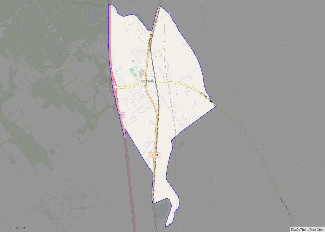
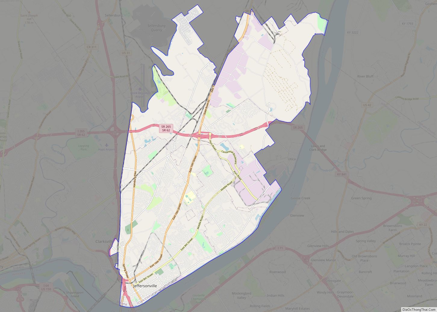
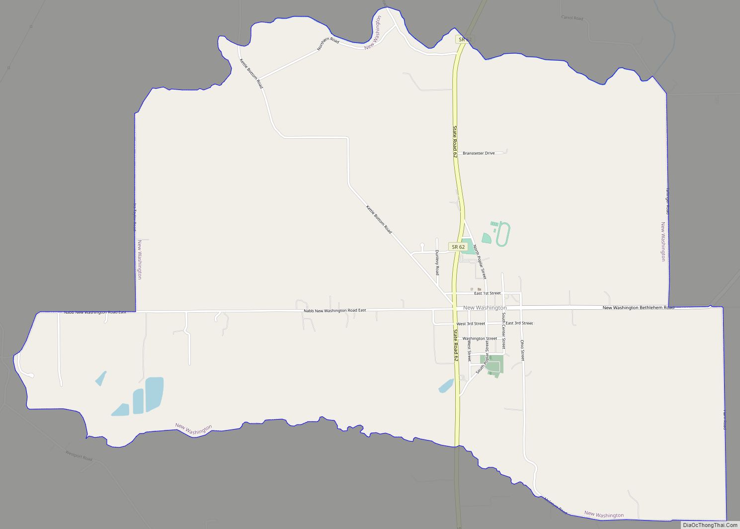
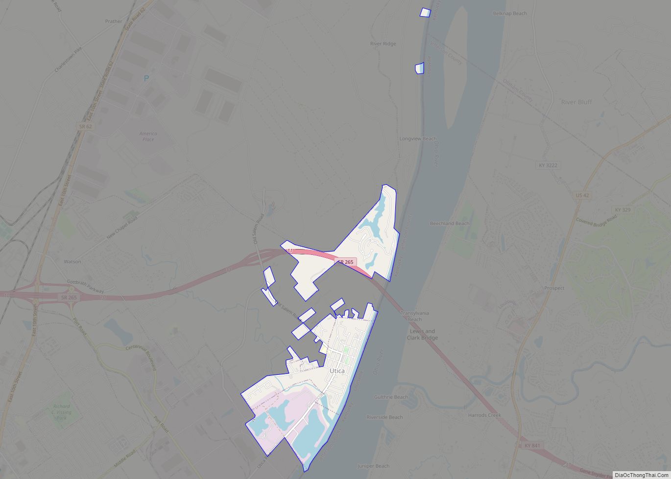
Online Interactive Map
Click on ![]() to view map in "full screen" mode.
to view map in "full screen" mode.
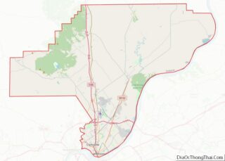
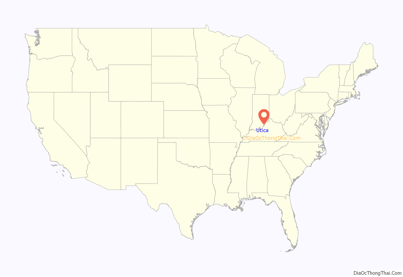
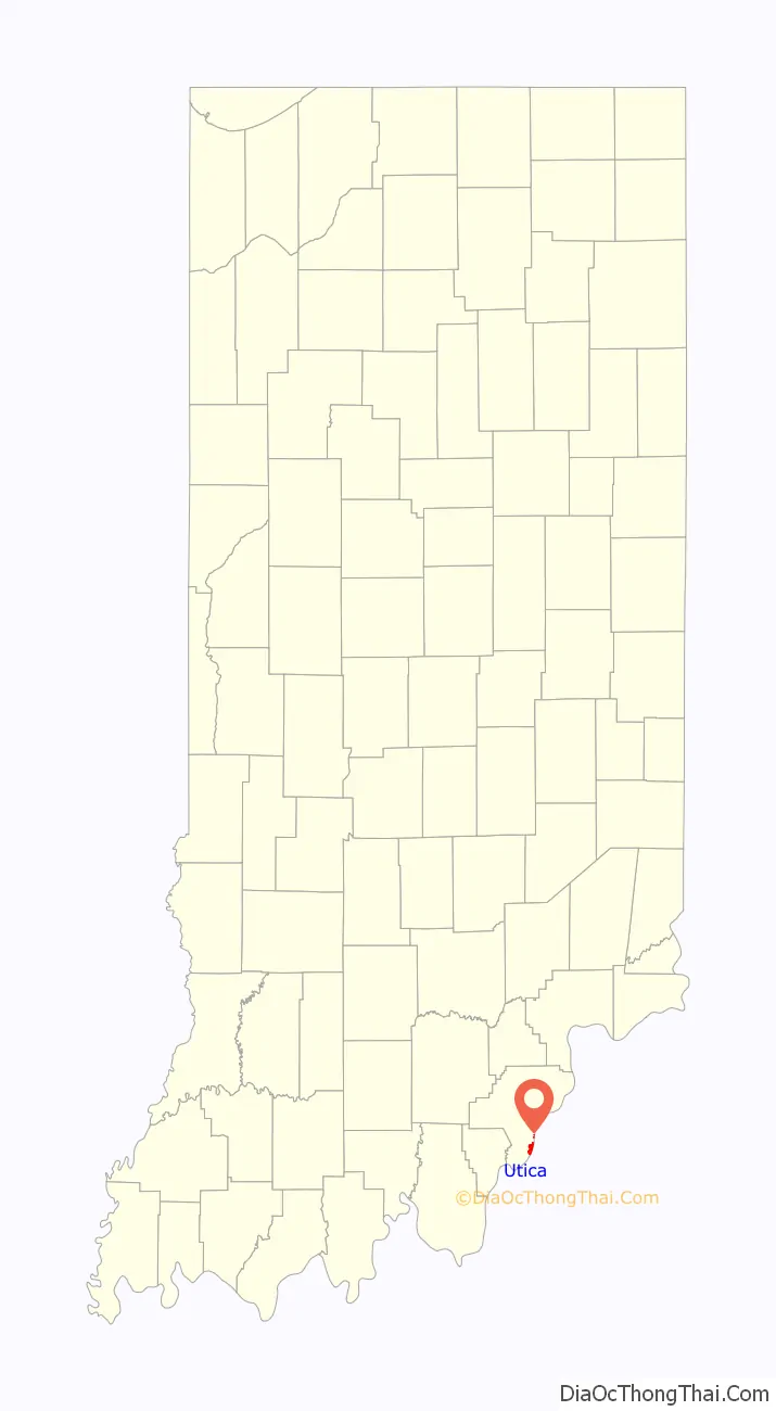
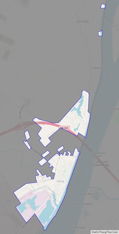
Utica location map. Where is Utica town?
History
From 1794 to 1825, Utica was a popular ferry crossing, as ferry crossings were considered too dangerous at Jeffersonville, due to inexperienced ferry operators and the Falls of the Ohio. James Noble Wood, the founder of Utica, was the first ferryman in the area, and he served as one of only a handful of territorial judges in “Indian Territory” during this period.
After a flood in 1997, Utica grew because it was required to strengthen its building, planning, and zoning laws in order to obtain Federal Emergency Management Agency (FEMA) and Indiana DNR rebuilding funds. However, Utica is unlikely to see much more growth due to being surrounded by the Port of Indiana – Jeffersonville, a new I-265 bridge over the Ohio River at Utica (complete late 2016), and the River Ridge Commerce Center.
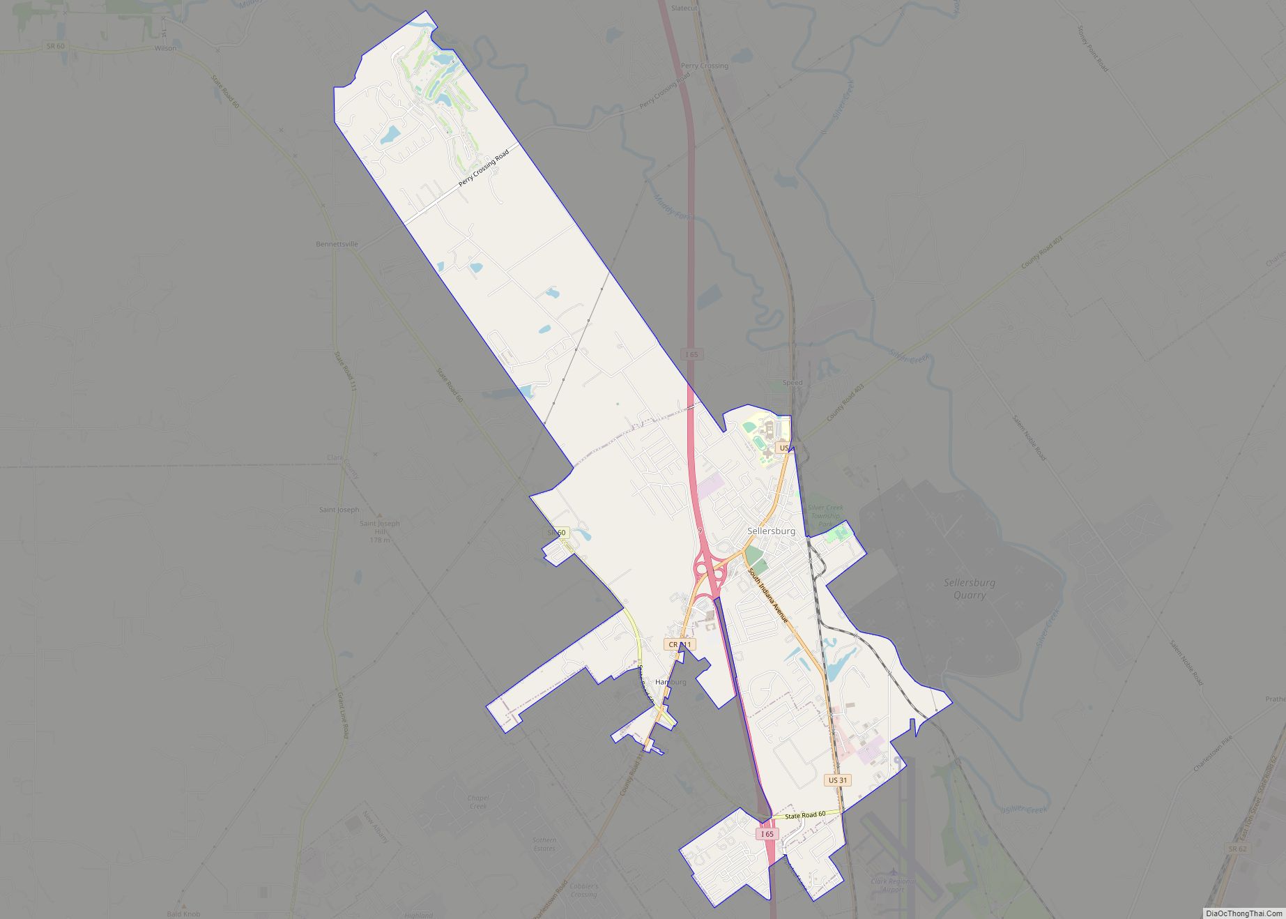
Utica Road Map
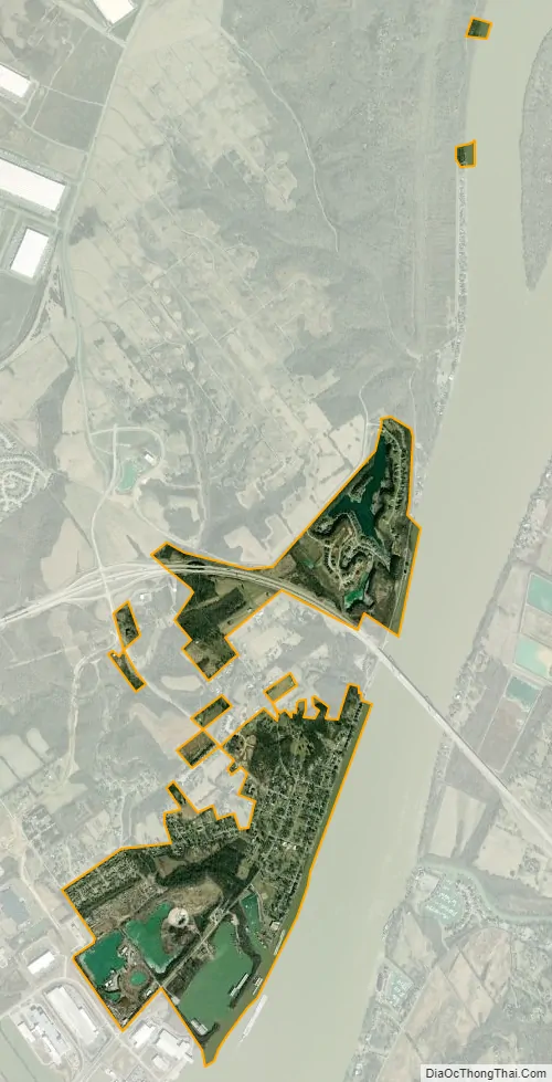
Utica city Satellite Map
Geography
Utica is located at 38°20′4″N 85°39′18″W / 38.33444°N 85.65500°W / 38.33444; -85.65500 (38.334556, -85.654961).
According to the 2010 census, Utica has a total area of 1.448 square miles (3.75 km), of which 1.27 square miles (3.29 km) (or 87.71%) is land and 0.178 square miles (0.46 km) (or 12.29%) is water.
See also
Map of Indiana State and its subdivision:- Adams
- Allen
- Bartholomew
- Benton
- Blackford
- Boone
- Brown
- Carroll
- Cass
- Clark
- Clay
- Clinton
- Crawford
- Daviess
- De Kalb
- Dearborn
- Decatur
- Delaware
- Dubois
- Elkhart
- Fayette
- Floyd
- Fountain
- Franklin
- Fulton
- Gibson
- Grant
- Greene
- Hamilton
- Hancock
- Harrison
- Hendricks
- Henry
- Howard
- Huntington
- Jackson
- Jasper
- Jay
- Jefferson
- Jennings
- Johnson
- Knox
- Kosciusko
- LaGrange
- Lake
- Lake Michigan
- LaPorte
- Lawrence
- Madison
- Marion
- Marshall
- Martin
- Miami
- Monroe
- Montgomery
- Morgan
- Newton
- Noble
- Ohio
- Orange
- Owen
- Parke
- Perry
- Pike
- Porter
- Posey
- Pulaski
- Putnam
- Randolph
- Ripley
- Rush
- Saint Joseph
- Scott
- Shelby
- Spencer
- Starke
- Steuben
- Sullivan
- Switzerland
- Tippecanoe
- Tipton
- Union
- Vanderburgh
- Vermillion
- Vigo
- Wabash
- Warren
- Warrick
- Washington
- Wayne
- Wells
- White
- Whitley
- Alabama
- Alaska
- Arizona
- Arkansas
- California
- Colorado
- Connecticut
- Delaware
- District of Columbia
- Florida
- Georgia
- Hawaii
- Idaho
- Illinois
- Indiana
- Iowa
- Kansas
- Kentucky
- Louisiana
- Maine
- Maryland
- Massachusetts
- Michigan
- Minnesota
- Mississippi
- Missouri
- Montana
- Nebraska
- Nevada
- New Hampshire
- New Jersey
- New Mexico
- New York
- North Carolina
- North Dakota
- Ohio
- Oklahoma
- Oregon
- Pennsylvania
- Rhode Island
- South Carolina
- South Dakota
- Tennessee
- Texas
- Utah
- Vermont
- Virginia
- Washington
- West Virginia
- Wisconsin
- Wyoming