Mexico is an unincorporated community and census-designated place (CDP) in Jefferson Township, Miami County, in the U.S. state of Indiana. The population was 915 at the 2020 census.
| Name: | Mexico CDP |
|---|---|
| LSAD Code: | 57 |
| LSAD Description: | CDP (suffix) |
| State: | Indiana |
| County: | Miami County |
| Elevation: | 702 ft (214 m) |
| Total Area: | 5.56 sq mi (14.40 km²) |
| Land Area: | 5.49 sq mi (14.22 km²) |
| Water Area: | 0.07 sq mi (0.18 km²) |
| Total Population: | 915 |
| Population Density: | 166.7/sq mi (64.4/km²) |
| ZIP code: | 46958 |
| Area code: | 765 |
| FIPS code: | 1848636 |
| GNISfeature ID: | 439059 |
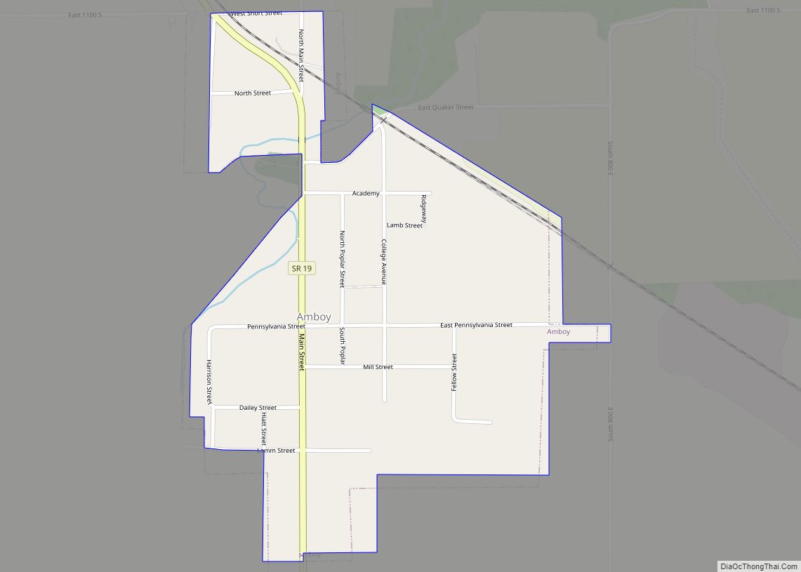
Online Interactive Map
Click on ![]() to view map in "full screen" mode.
to view map in "full screen" mode.
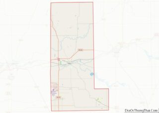
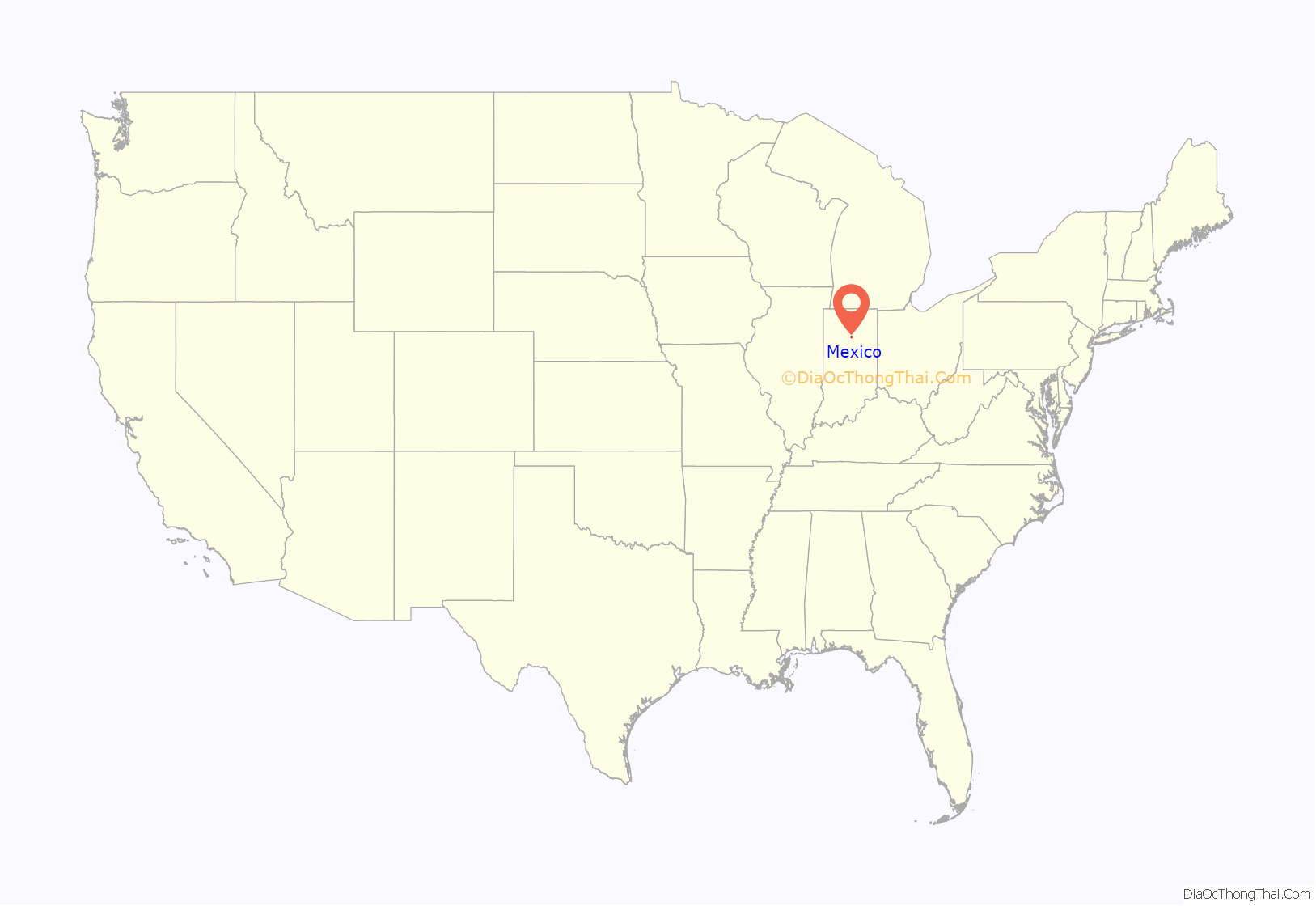
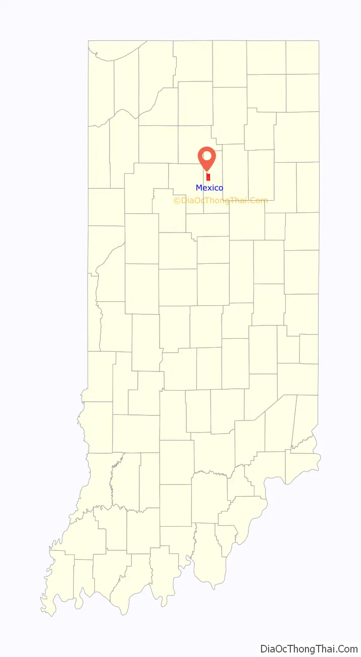
Mexico location map. Where is Mexico CDP?
History
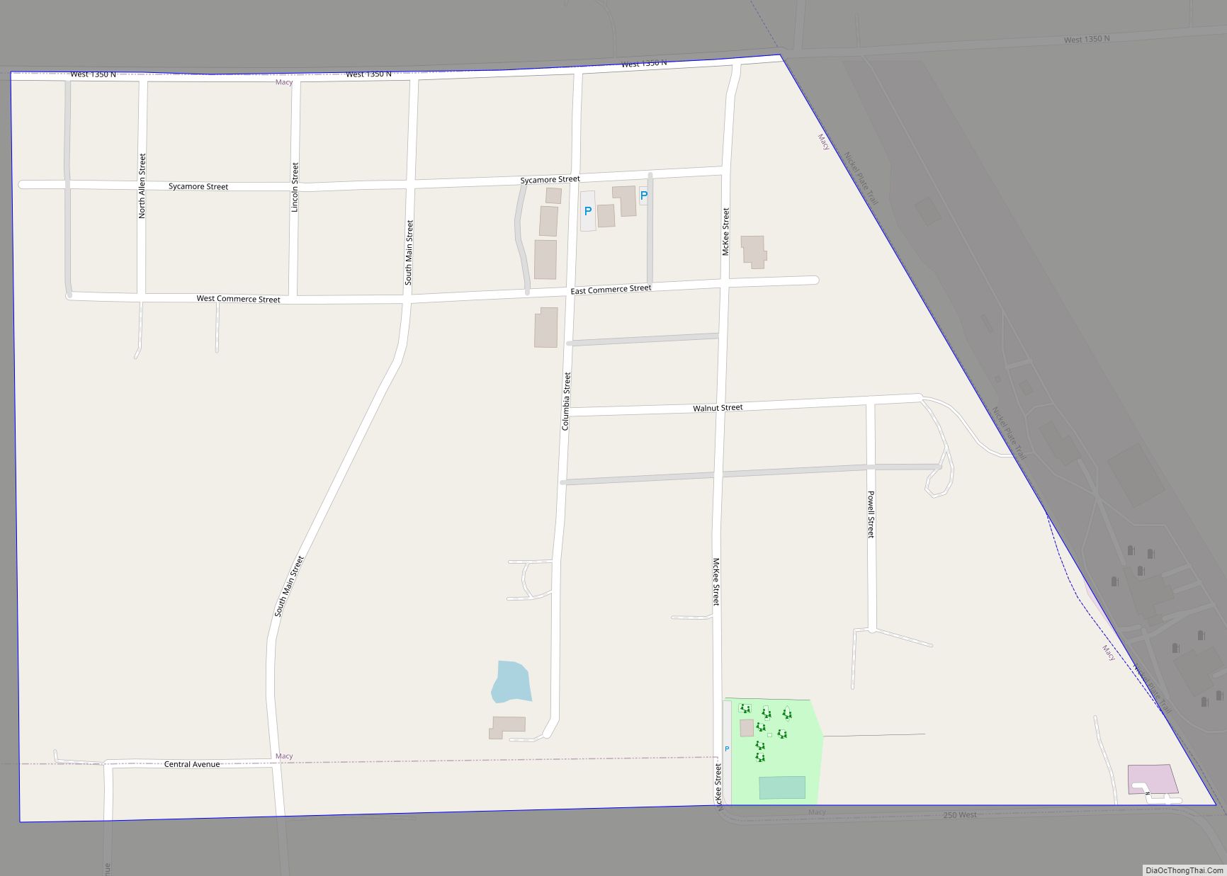
Mexico was platted in 1834. The community’s name probably commemorates the Mexican War of Independence. Mexico was established along an Indian trail bordering the Eel River. This trail became the Michigan Road, the first road in Miami County. Sitting along the Michigan Road was the River House Inn, owned by the parents of Indiana poet Dulciana Minerva Mason, which was at the time the only stopping point between Indianapolis and Michigan City. The post office at Mexico has been in operation since 1837.
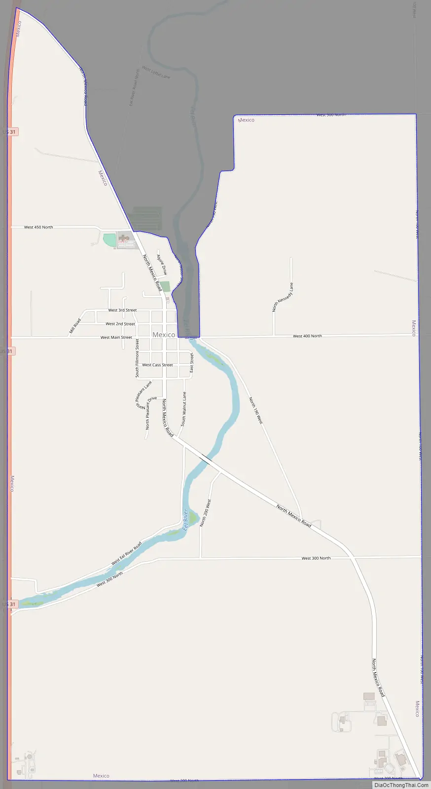
Mexico Road Map
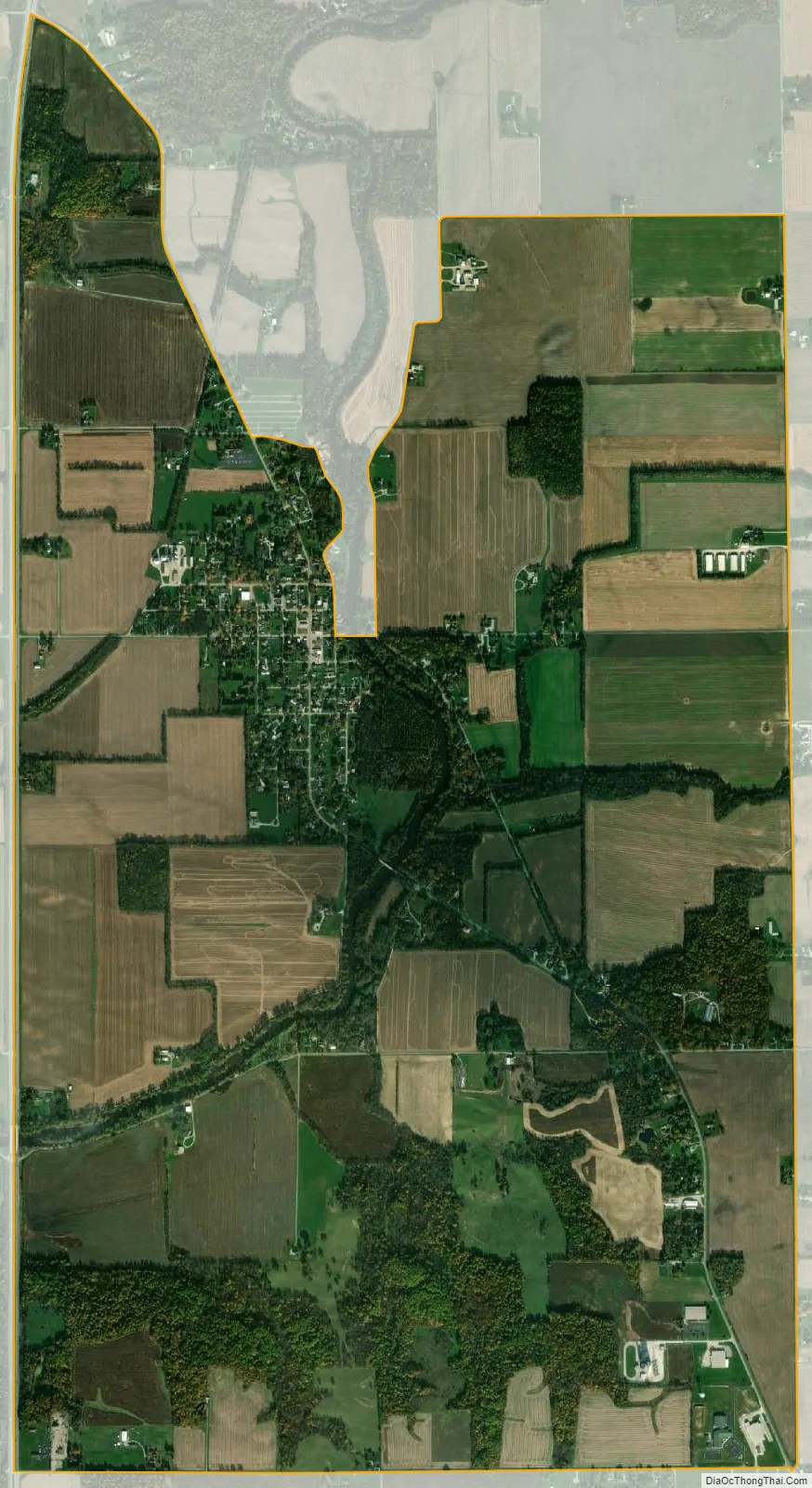
Mexico city Satellite Map
Geography
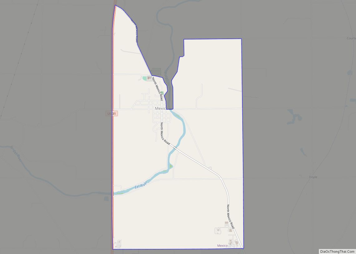
Mexico is located northwest of the center of Miami County at 40°49′12″N 86°6′50″W / 40.82000°N 86.11389°W / 40.82000; -86.11389 (40.819892, -86.113834). The center of the community is 0.7 miles (1.1 km) east of U.S. Route 31, which forms the western border of the CDP. US 31 leads north 18 miles (29 km) to Rochester and south 23 miles (37 km) to Kokomo. Peru, the Miami county seat, is 5 miles (8 km) to the southeast via North Mexico Road.
According to the United States Census Bureau, the Mexico CDP has a total area of 5.56 square miles (14.40 km), of which 0.07 square miles (0.18 km), or 1.28%, are water. The Eel River runs through the CDP, east and south of the town center; it continues southwest to the Wabash River at Logansport.
See also
Map of Indiana State and its subdivision:- Adams
- Allen
- Bartholomew
- Benton
- Blackford
- Boone
- Brown
- Carroll
- Cass
- Clark
- Clay
- Clinton
- Crawford
- Daviess
- De Kalb
- Dearborn
- Decatur
- Delaware
- Dubois
- Elkhart
- Fayette
- Floyd
- Fountain
- Franklin
- Fulton
- Gibson
- Grant
- Greene
- Hamilton
- Hancock
- Harrison
- Hendricks
- Henry
- Howard
- Huntington
- Jackson
- Jasper
- Jay
- Jefferson
- Jennings
- Johnson
- Knox
- Kosciusko
- LaGrange
- Lake
- Lake Michigan
- LaPorte
- Lawrence
- Madison
- Marion
- Marshall
- Martin
- Miami
- Monroe
- Montgomery
- Morgan
- Newton
- Noble
- Ohio
- Orange
- Owen
- Parke
- Perry
- Pike
- Porter
- Posey
- Pulaski
- Putnam
- Randolph
- Ripley
- Rush
- Saint Joseph
- Scott
- Shelby
- Spencer
- Starke
- Steuben
- Sullivan
- Switzerland
- Tippecanoe
- Tipton
- Union
- Vanderburgh
- Vermillion
- Vigo
- Wabash
- Warren
- Warrick
- Washington
- Wayne
- Wells
- White
- Whitley
- Alabama
- Alaska
- Arizona
- Arkansas
- California
- Colorado
- Connecticut
- Delaware
- District of Columbia
- Florida
- Georgia
- Hawaii
- Idaho
- Illinois
- Indiana
- Iowa
- Kansas
- Kentucky
- Louisiana
- Maine
- Maryland
- Massachusetts
- Michigan
- Minnesota
- Mississippi
- Missouri
- Montana
- Nebraska
- Nevada
- New Hampshire
- New Jersey
- New Mexico
- New York
- North Carolina
- North Dakota
- Ohio
- Oklahoma
- Oregon
- Pennsylvania
- Rhode Island
- South Carolina
- South Dakota
- Tennessee
- Texas
- Utah
- Vermont
- Virginia
- Washington
- West Virginia
- Wisconsin
- Wyoming