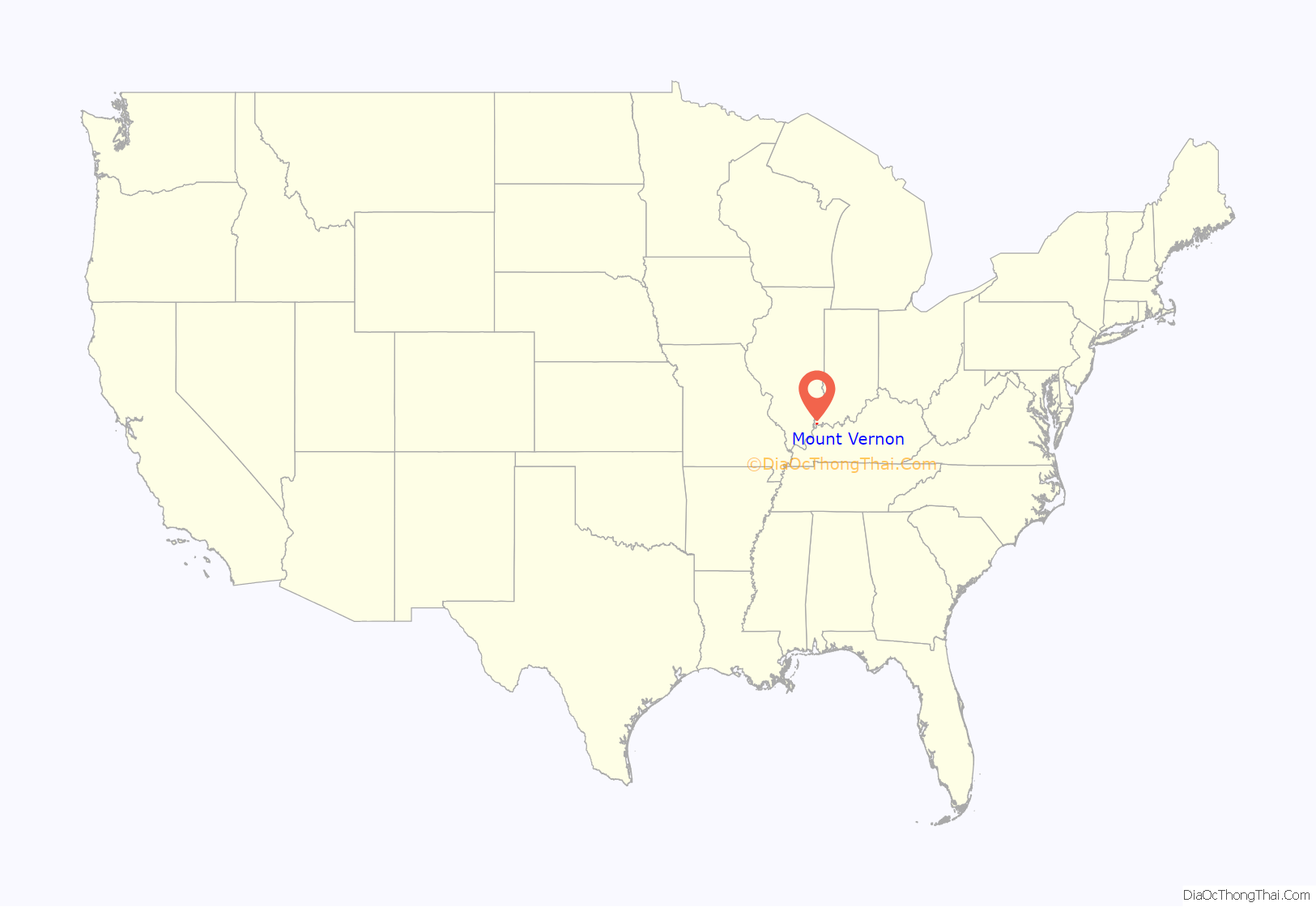
Mount Vernon is a city in and the county seat of Posey County, Indiana, United States. Located in the state’s far southwestern corner, within 15 miles (24 km) of both the southernmost or westernmost points, it is the westernmost city in the state. The southernmost is Rockport, located along the Ohio River about 40 miles (64 km) to the southeast.
The population was 6,687 at the 2010 census. It is located in Black Township and is part of the Evansville, Indiana, metropolitan area, which had a 2010 population of 358,676.
| Name: | Mount Vernon city |
|---|---|
| LSAD Code: | 25 |
| LSAD Description: | city (suffix) |
| State: | Indiana |
| County: | Posey County |
| Founded: | 1816 |
| Incorporated: | 1832 |
| Elevation: | 413 ft (126 m) |
| Total Area: | 2.92 sq mi (7.56 km²) |
| Land Area: | 2.88 sq mi (7.45 km²) |
| Water Area: | 0.04 sq mi (0.11 km²) 1.75% |
| Total Population: | 6,493 |
| Population Density: | 2,256.08/sq mi (871.13/km²) |
| ZIP code: | 47620 |
| Area code: | 812, 930 |
| FIPS code: | 1851732 |
| GNISfeature ID: | 2395128 |
| Website: | http://www.mountvernon.in.gov/ |
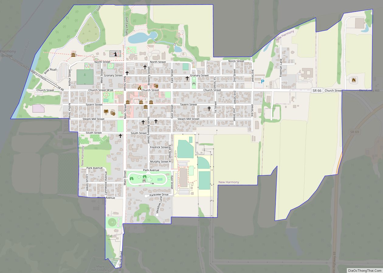
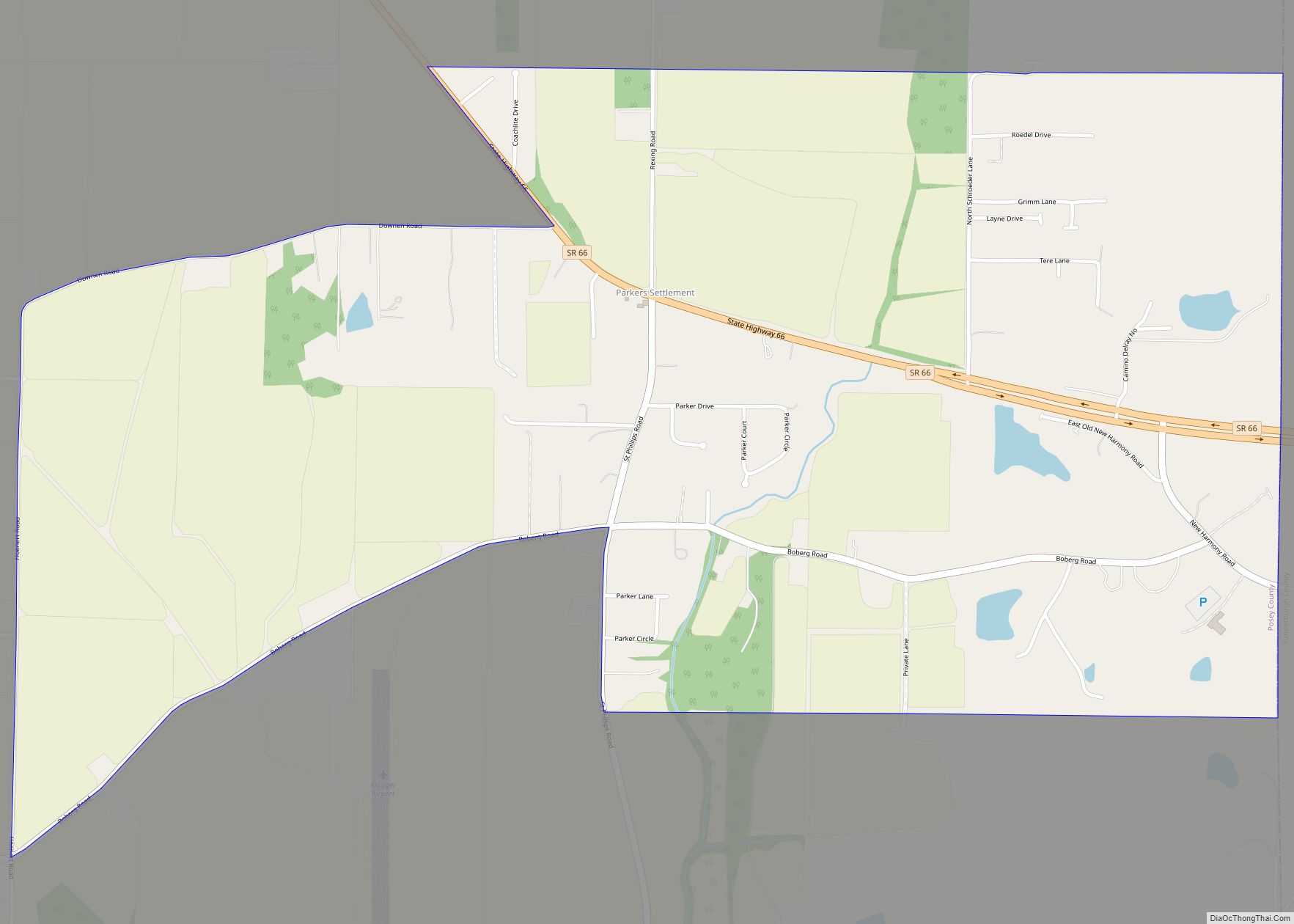
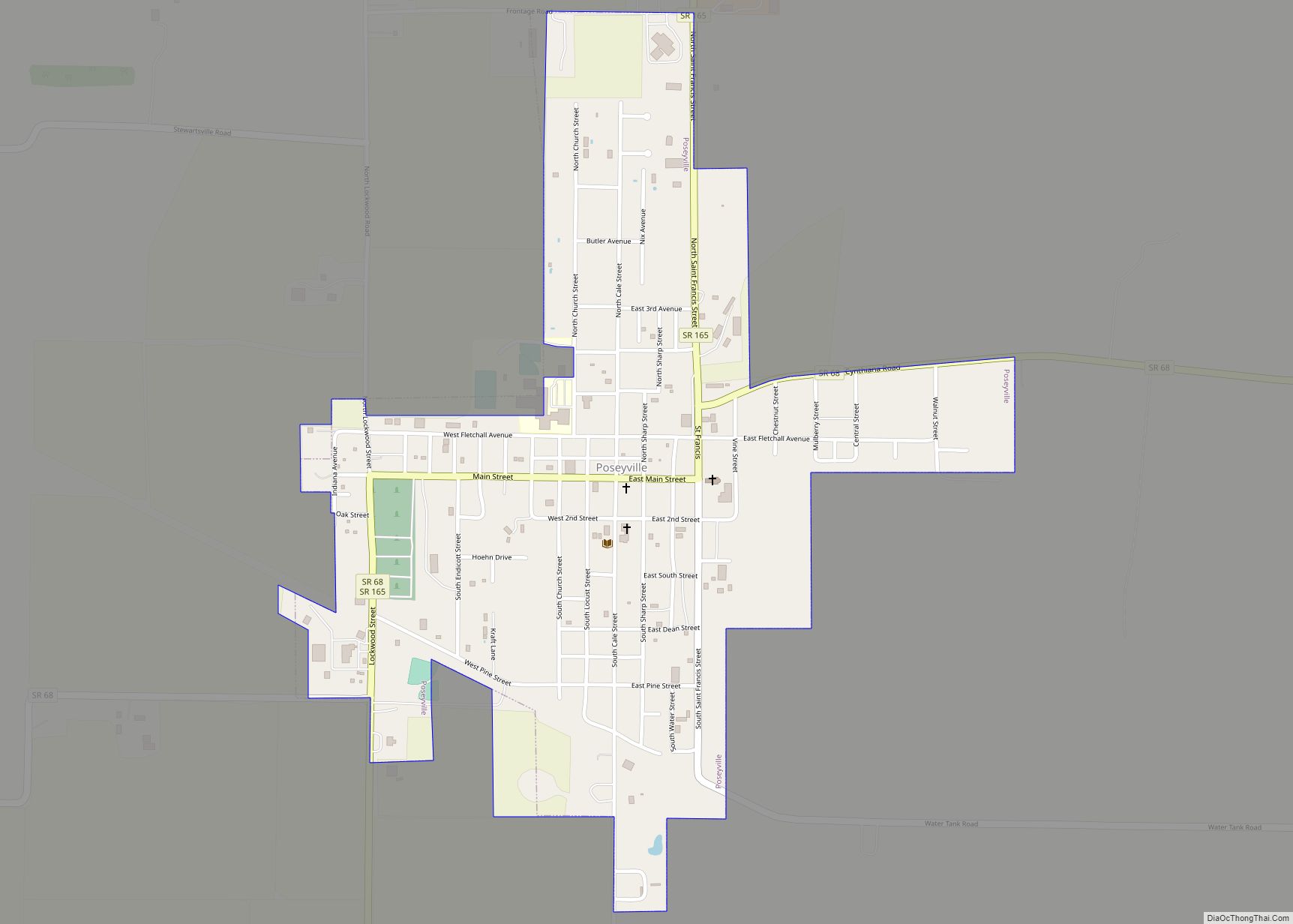
Online Interactive Map
Click on ![]() to view map in "full screen" mode.
to view map in "full screen" mode.
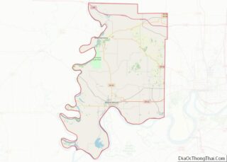
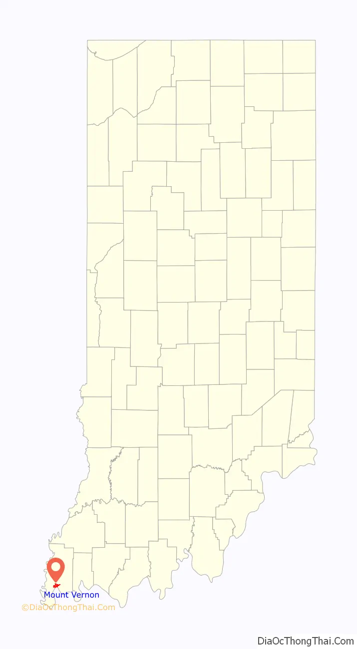
Mount Vernon location map. Where is Mount Vernon city?
History
Mount Vernon is the county seat and largest city in Posey County, named for General Thomas Posey, Governor of the Indiana Territory. He grew up at a plantation adjacent to George Washington’s Mount Vernon. He was widely rumored to be Washington’s illegitimate son, but this was dismissed by Posey’s biographer, John Thornton Posey, a descendant.
The first settler in Mount Vernon was Andrew McFaden in 1806, and the settlement was called McFaden’s Bluff. It was platted as Mount Vernon in 1816, but continued to be known as McFadden’s Bluff for some time. It was named in honor of Washington’s Mount Vernon. A post office called Mount Vernon has been in operation since 1818.
A number of historic sites have been recognized in Mount Vernon, including the Posey County Courthouse Square, Mount Vernon Downtown Historic District, Welborn Historic District and the William Gonnerman House, all of which have been placed on the National Register of Historic Places.
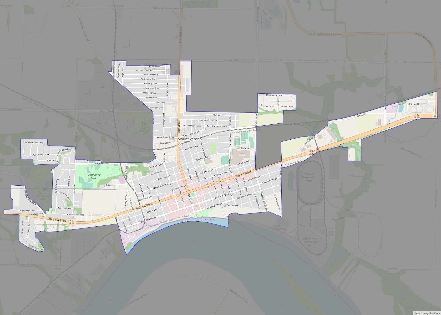
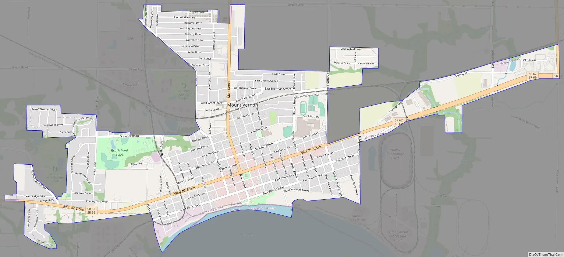
Mount Vernon Road Map
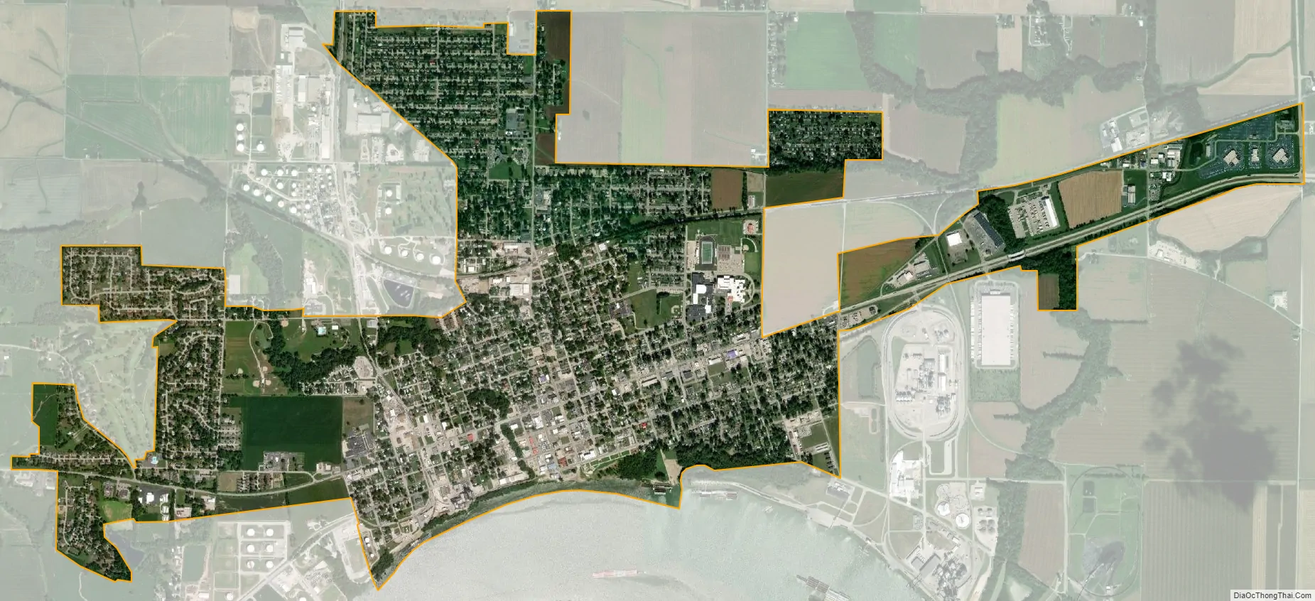
Mount Vernon city Satellite Map
Geography
According to the 2010 census, Mount Vernon has a total area of 2.86 square miles (7.41 km), of which 2.81 square miles (7.28 km) (or 98.25%) is land and 0.05 square miles (0.13 km) (or 1.75%) is water.
Climate
The climate in this area is characterized by hot, humid summers and generally mild to cool winters. According to the Köppen Climate Classification system, Mount Vernon has a humid subtropical climate, abbreviated “Cfa” on climate maps.
See also
Map of Indiana State and its subdivision:- Adams
- Allen
- Bartholomew
- Benton
- Blackford
- Boone
- Brown
- Carroll
- Cass
- Clark
- Clay
- Clinton
- Crawford
- Daviess
- De Kalb
- Dearborn
- Decatur
- Delaware
- Dubois
- Elkhart
- Fayette
- Floyd
- Fountain
- Franklin
- Fulton
- Gibson
- Grant
- Greene
- Hamilton
- Hancock
- Harrison
- Hendricks
- Henry
- Howard
- Huntington
- Jackson
- Jasper
- Jay
- Jefferson
- Jennings
- Johnson
- Knox
- Kosciusko
- LaGrange
- Lake
- Lake Michigan
- LaPorte
- Lawrence
- Madison
- Marion
- Marshall
- Martin
- Miami
- Monroe
- Montgomery
- Morgan
- Newton
- Noble
- Ohio
- Orange
- Owen
- Parke
- Perry
- Pike
- Porter
- Posey
- Pulaski
- Putnam
- Randolph
- Ripley
- Rush
- Saint Joseph
- Scott
- Shelby
- Spencer
- Starke
- Steuben
- Sullivan
- Switzerland
- Tippecanoe
- Tipton
- Union
- Vanderburgh
- Vermillion
- Vigo
- Wabash
- Warren
- Warrick
- Washington
- Wayne
- Wells
- White
- Whitley
- Alabama
- Alaska
- Arizona
- Arkansas
- California
- Colorado
- Connecticut
- Delaware
- District of Columbia
- Florida
- Georgia
- Hawaii
- Idaho
- Illinois
- Indiana
- Iowa
- Kansas
- Kentucky
- Louisiana
- Maine
- Maryland
- Massachusetts
- Michigan
- Minnesota
- Mississippi
- Missouri
- Montana
- Nebraska
- Nevada
- New Hampshire
- New Jersey
- New Mexico
- New York
- North Carolina
- North Dakota
- Ohio
- Oklahoma
- Oregon
- Pennsylvania
- Rhode Island
- South Carolina
- South Dakota
- Tennessee
- Texas
- Utah
- Vermont
- Virginia
- Washington
- West Virginia
- Wisconsin
- Wyoming