Oakland City is the third-largest city in Gibson County, Indiana, United States, after Princeton and Fort Branch. It is the site of Oakland City University. The population was 2,279 at the 2020 census.
| Name: | Oakland City city |
|---|---|
| LSAD Code: | 25 |
| LSAD Description: | city (suffix) |
| State: | Indiana |
| County: | Gibson County |
| Elevation: | 472 ft (144 m) |
| Total Area: | 1.02 sq mi (2.64 km²) |
| Land Area: | 1.02 sq mi (2.64 km²) |
| Water Area: | 0.00 sq mi (0.00 km²) 0% |
| Total Population: | 2,279 |
| Population Density: | 2,232.13/sq mi (861.94/km²) |
| ZIP code: | 47660 |
| Area code: | 812, 930 |
| FIPS code: | 1855710 |
| GNISfeature ID: | 2395292 |
| Website: | www.ocindiana.com |
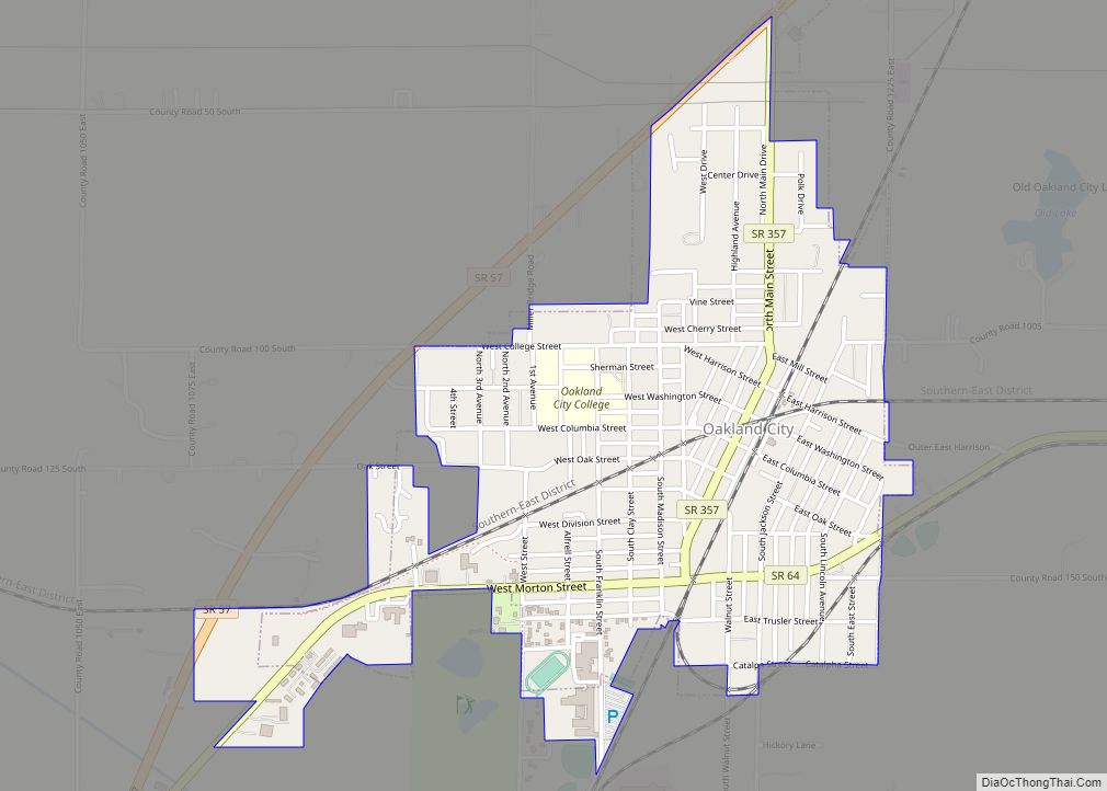
Online Interactive Map
Click on ![]() to view map in "full screen" mode.
to view map in "full screen" mode.
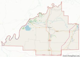
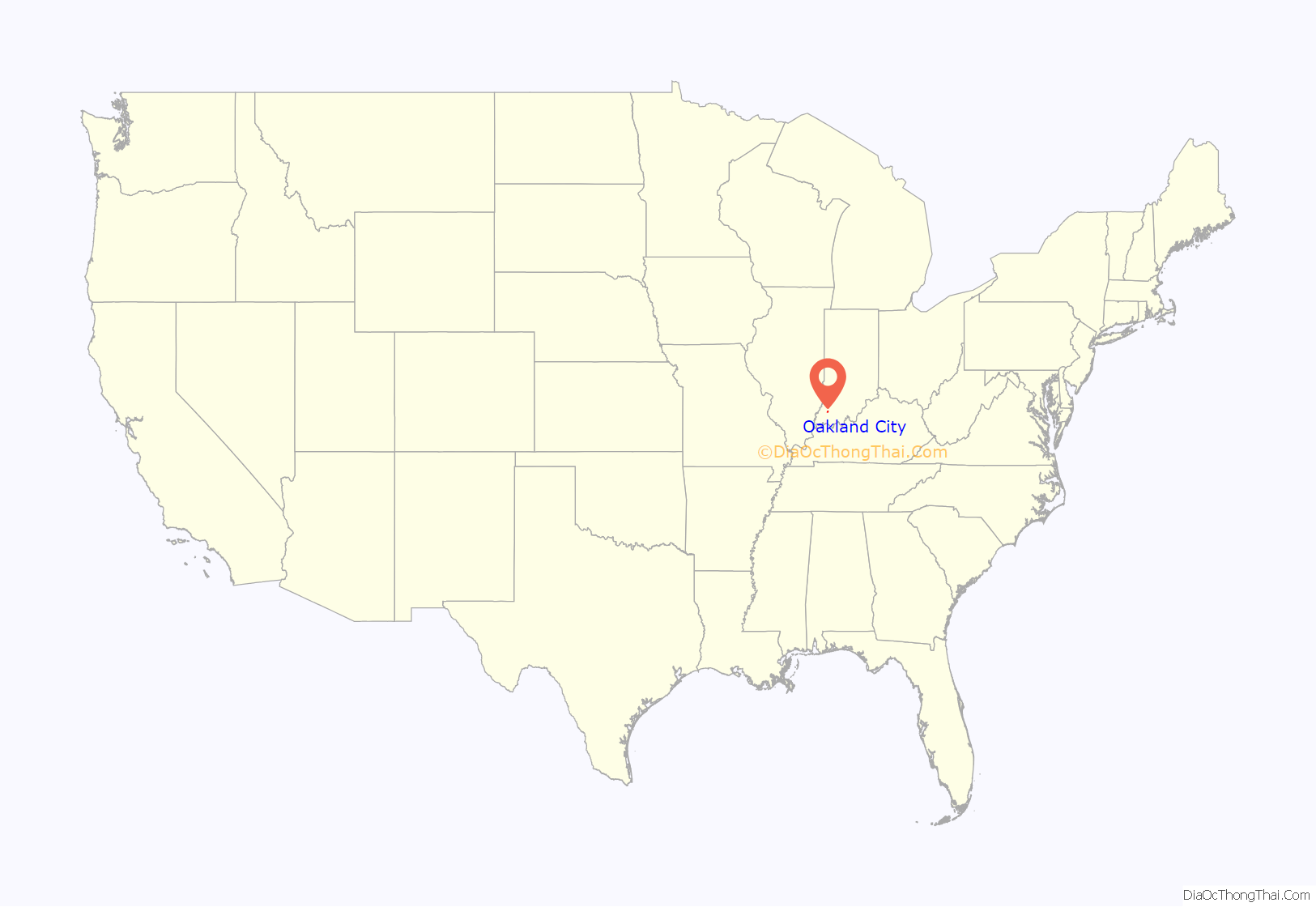
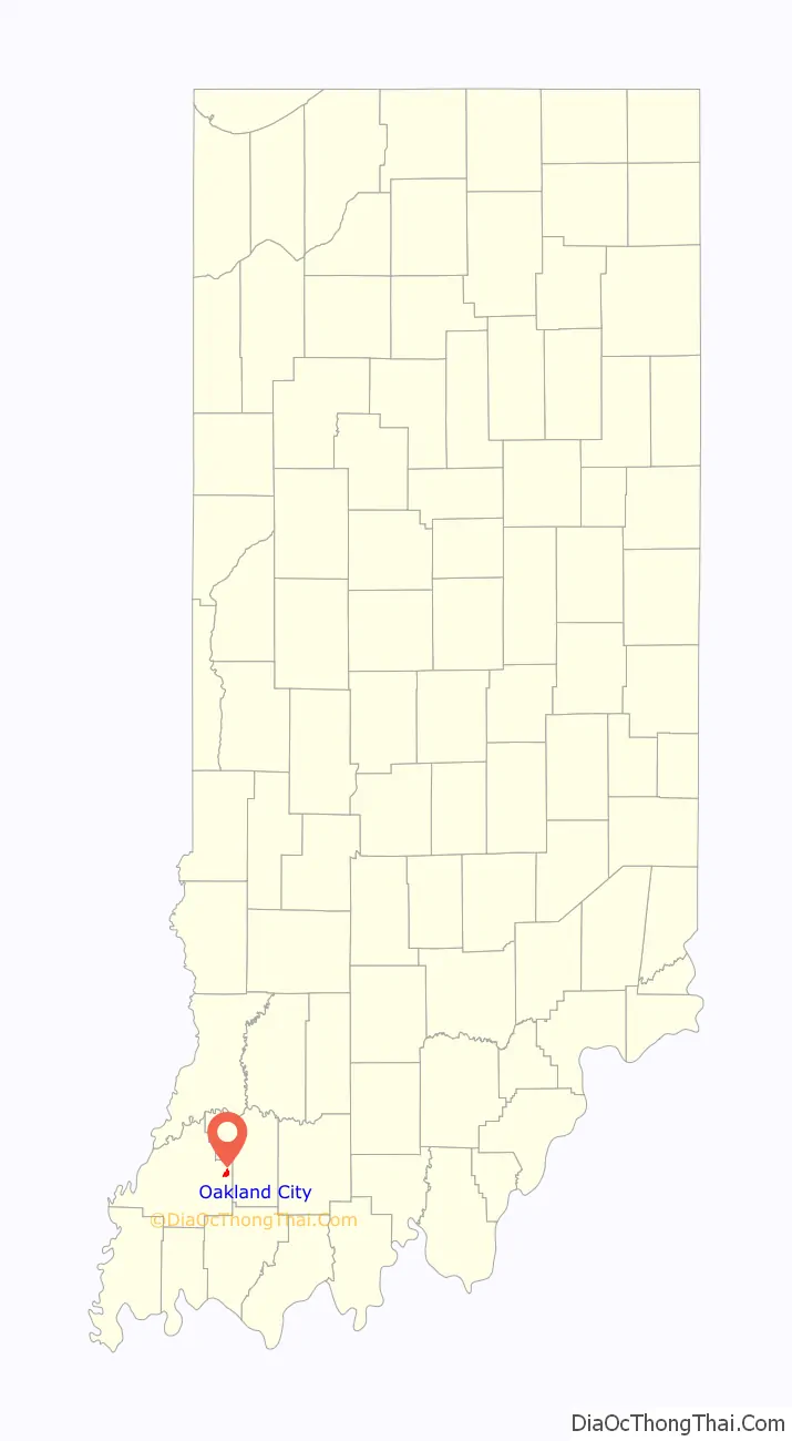
Oakland City location map. Where is Oakland City city?
History
Oakland City was laid out and platted in 1856. It was probably named for the presence of oak trees. The Oakland City post office was established in 1860.
The William M. Cockrum House was listed on the National Register of Historic Places in 1978.
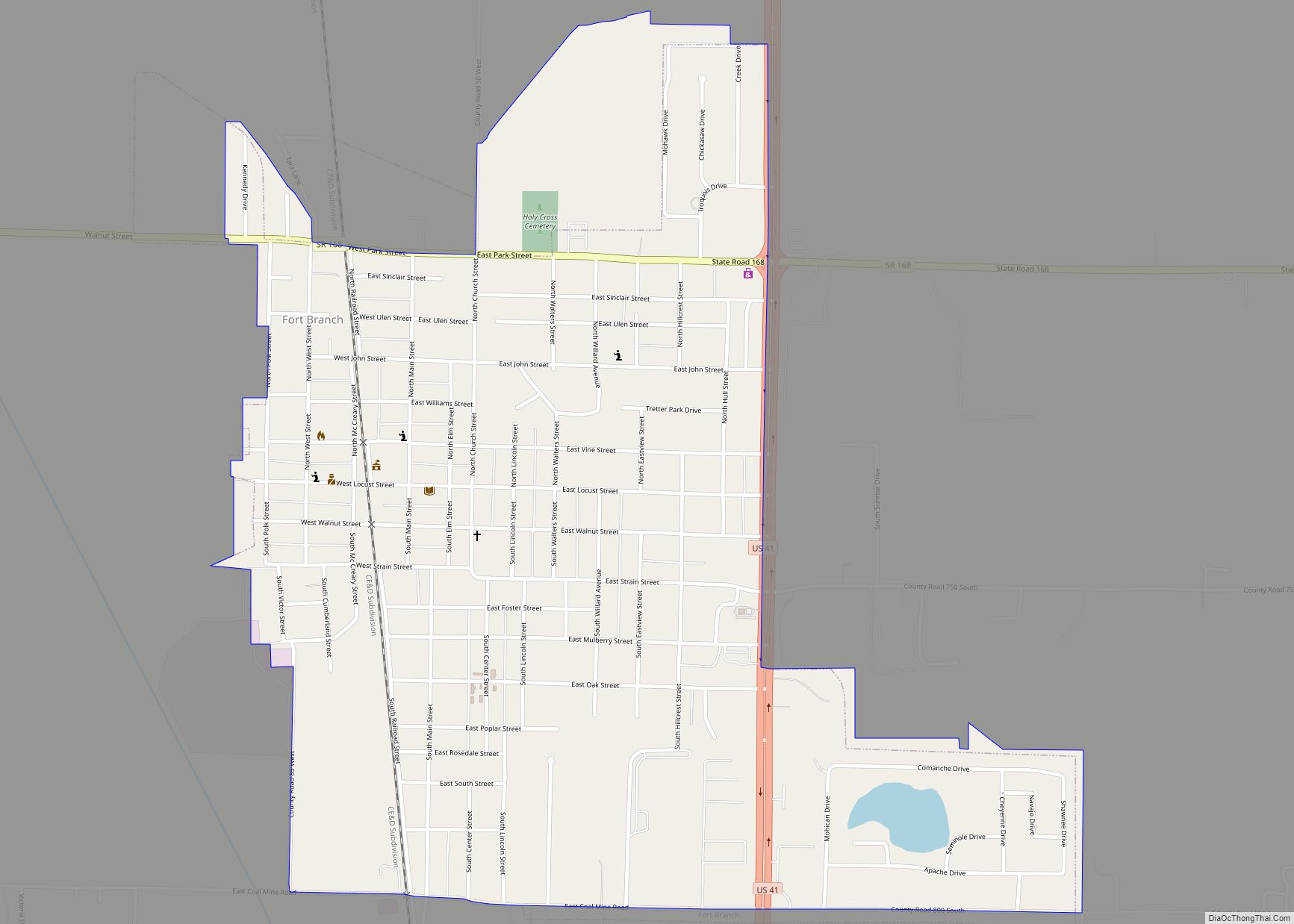
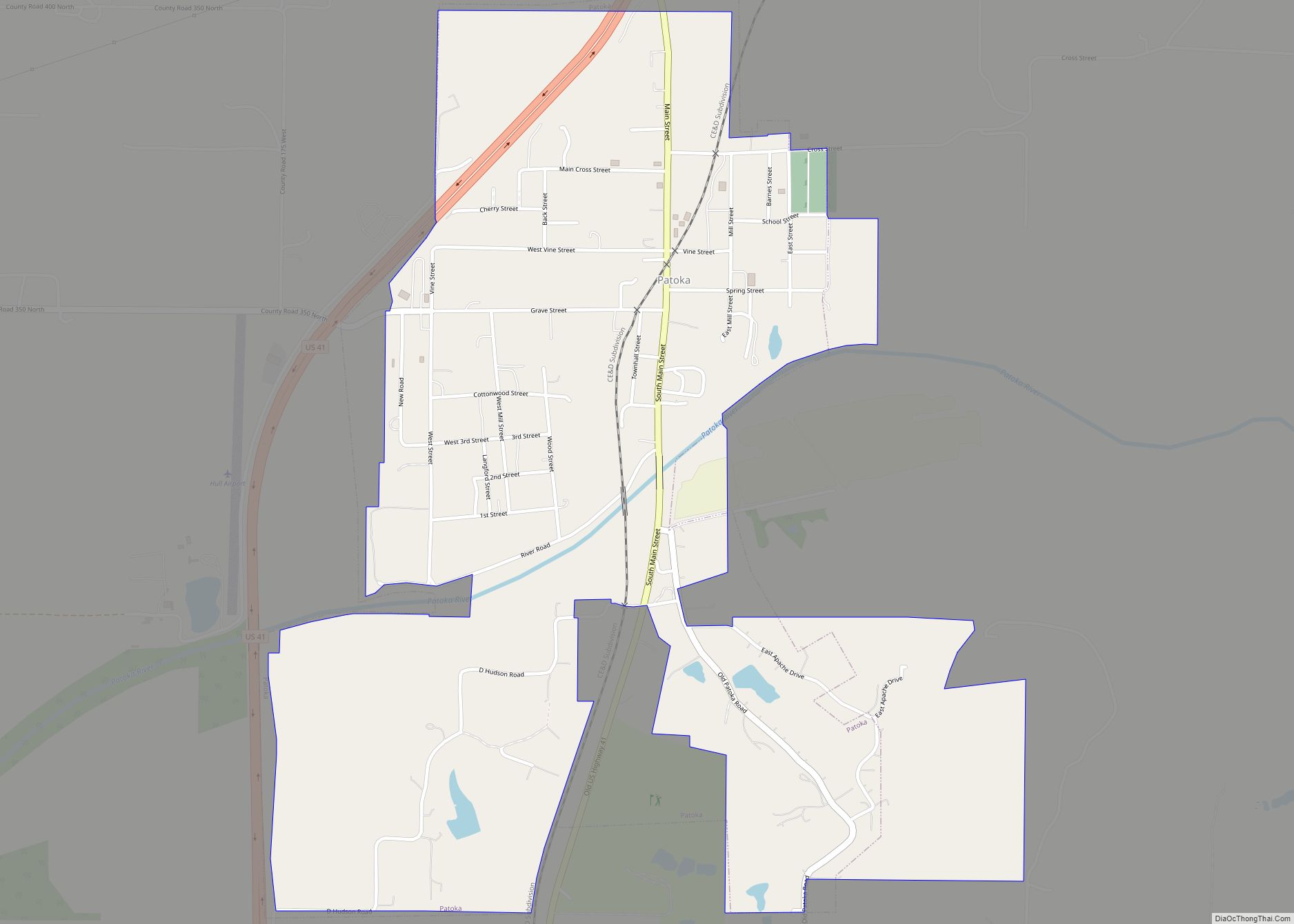
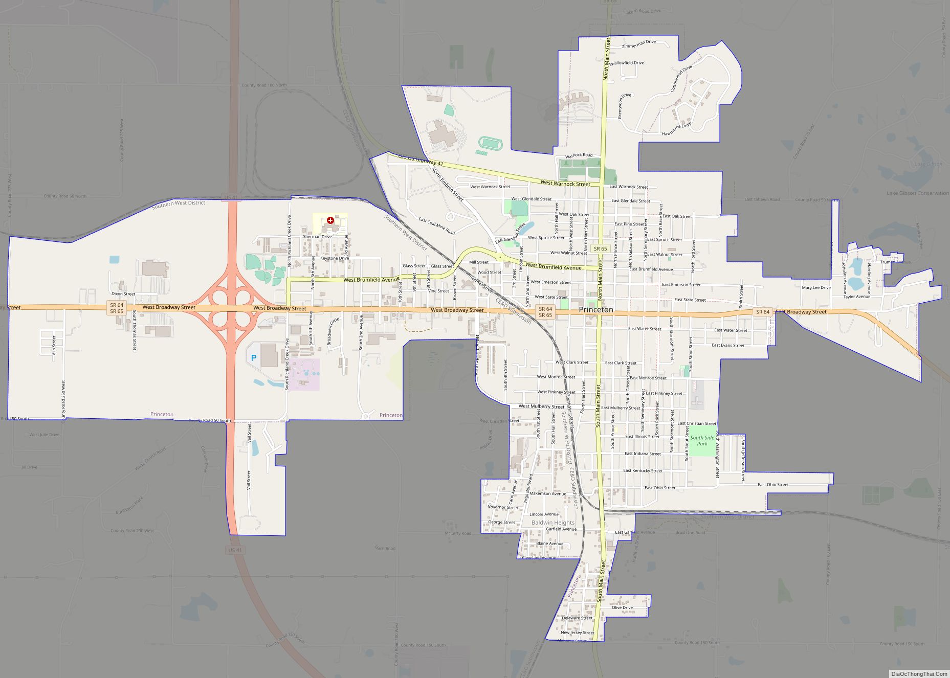
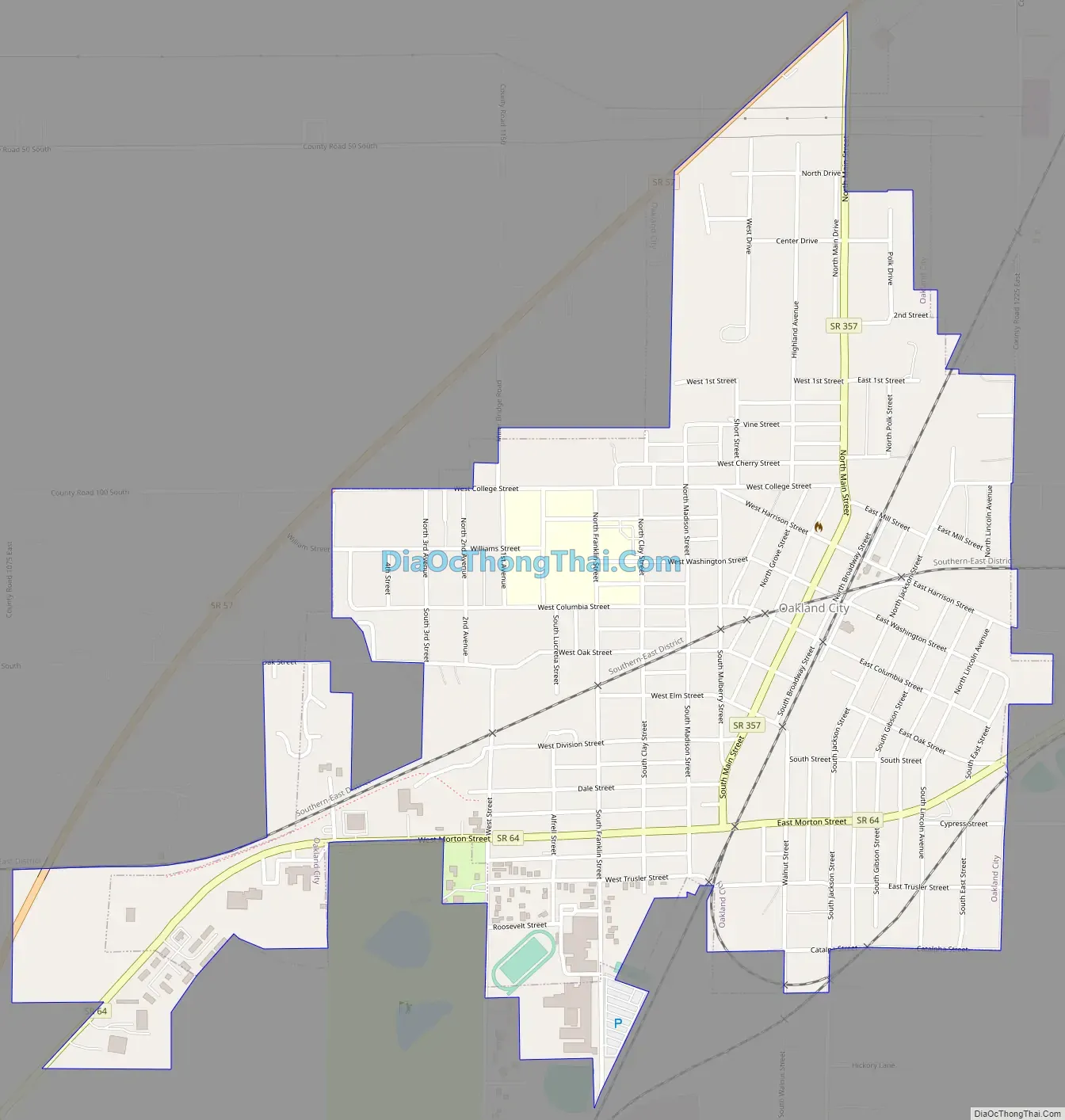
Oakland City Road Map
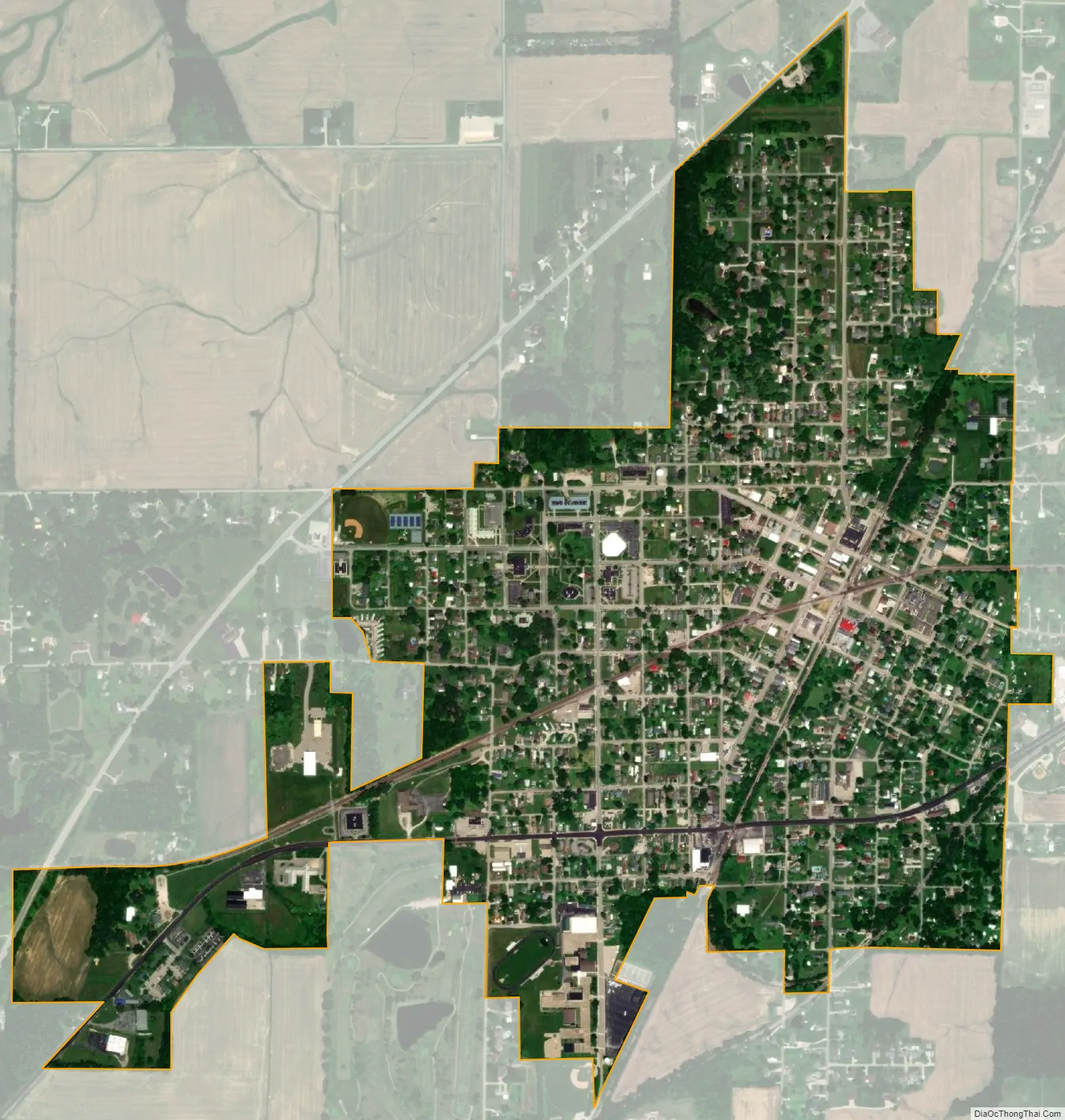
Oakland City city Satellite Map
Geography
According to the 2010 census, Oakland City has a total area of 1.132 square miles (2.93 km), of which 1.13 square miles (2.93 km) (or 99.82%) is land and 0.002 square miles (0.01 km) (or 0.18%) is water.
See also
Map of Indiana State and its subdivision:- Adams
- Allen
- Bartholomew
- Benton
- Blackford
- Boone
- Brown
- Carroll
- Cass
- Clark
- Clay
- Clinton
- Crawford
- Daviess
- De Kalb
- Dearborn
- Decatur
- Delaware
- Dubois
- Elkhart
- Fayette
- Floyd
- Fountain
- Franklin
- Fulton
- Gibson
- Grant
- Greene
- Hamilton
- Hancock
- Harrison
- Hendricks
- Henry
- Howard
- Huntington
- Jackson
- Jasper
- Jay
- Jefferson
- Jennings
- Johnson
- Knox
- Kosciusko
- LaGrange
- Lake
- Lake Michigan
- LaPorte
- Lawrence
- Madison
- Marion
- Marshall
- Martin
- Miami
- Monroe
- Montgomery
- Morgan
- Newton
- Noble
- Ohio
- Orange
- Owen
- Parke
- Perry
- Pike
- Porter
- Posey
- Pulaski
- Putnam
- Randolph
- Ripley
- Rush
- Saint Joseph
- Scott
- Shelby
- Spencer
- Starke
- Steuben
- Sullivan
- Switzerland
- Tippecanoe
- Tipton
- Union
- Vanderburgh
- Vermillion
- Vigo
- Wabash
- Warren
- Warrick
- Washington
- Wayne
- Wells
- White
- Whitley
- Alabama
- Alaska
- Arizona
- Arkansas
- California
- Colorado
- Connecticut
- Delaware
- District of Columbia
- Florida
- Georgia
- Hawaii
- Idaho
- Illinois
- Indiana
- Iowa
- Kansas
- Kentucky
- Louisiana
- Maine
- Maryland
- Massachusetts
- Michigan
- Minnesota
- Mississippi
- Missouri
- Montana
- Nebraska
- Nevada
- New Hampshire
- New Jersey
- New Mexico
- New York
- North Carolina
- North Dakota
- Ohio
- Oklahoma
- Oregon
- Pennsylvania
- Rhode Island
- South Carolina
- South Dakota
- Tennessee
- Texas
- Utah
- Vermont
- Virginia
- Washington
- West Virginia
- Wisconsin
- Wyoming