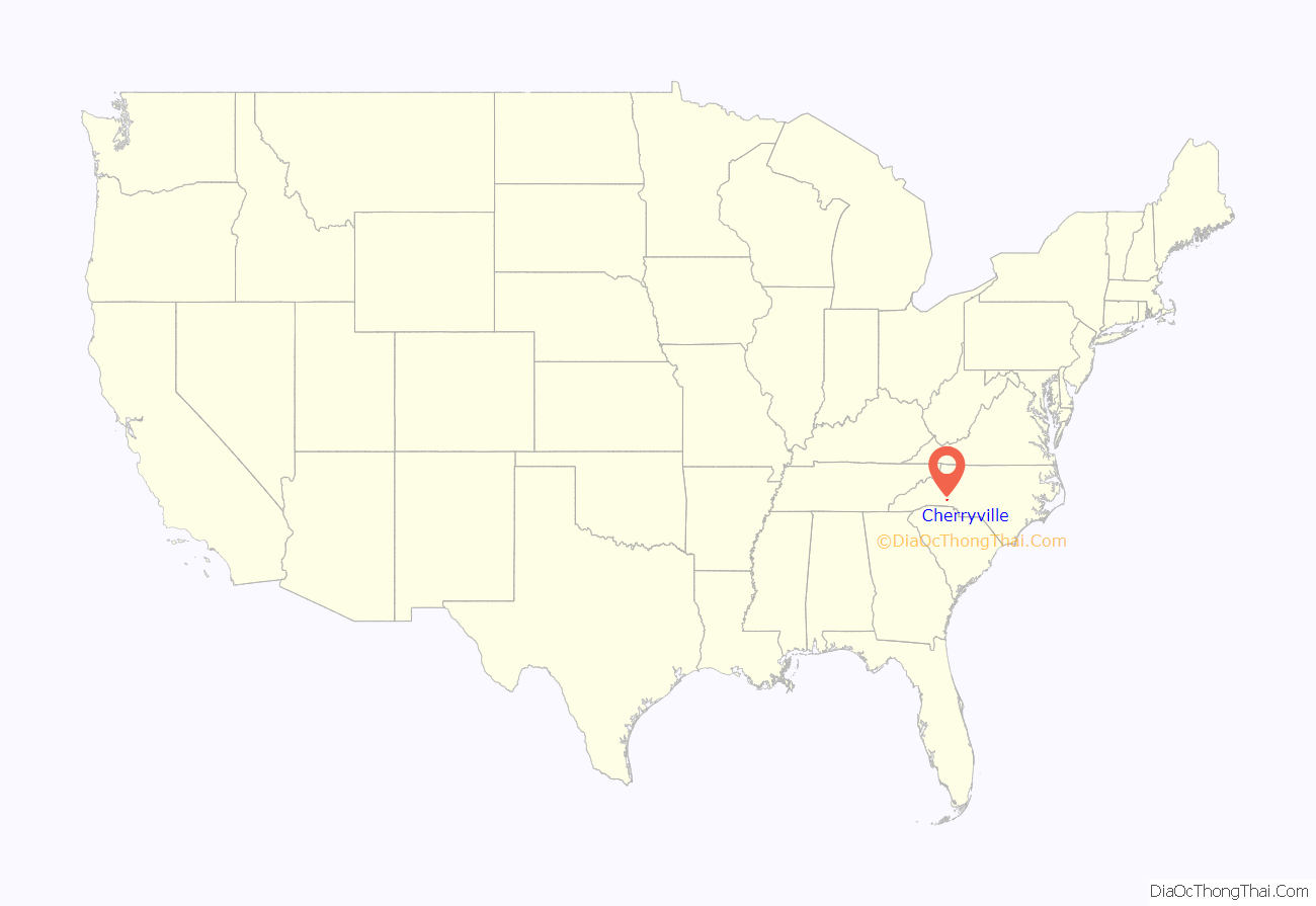
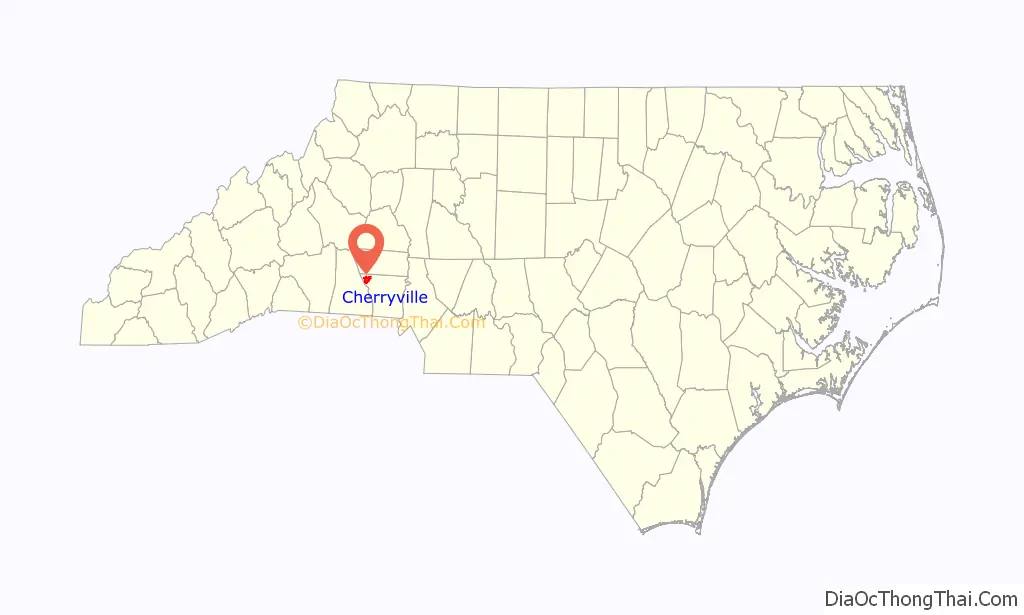
Cherryville is a small city in northwestern Gaston County, North Carolina, United States. The population was 5,760 at the 2010 census. The New Year’s Shooters celebrate the area’s German heritage by beginning each year with a customary chant and the honorary shooting of muskets. Cherryville is located approximately 38 miles (61 km) west of Charlotte and 16 miles (26 km) northwest of Gastonia.
| Name: | Cherryville city |
|---|---|
| LSAD Code: | 25 |
| LSAD Description: | city (suffix) |
| State: | North Carolina |
| County: | Gaston County |
| Incorporated: | 1881 |
| Elevation: | 1,007 ft (307 m) |
| Total Area: | 5.53 sq mi (14.33 km²) |
| Land Area: | 5.52 sq mi (14.30 km²) |
| Water Area: | 0.01 sq mi (0.03 km²) |
| Total Population: | 6,078 |
| Population Density: | 1,101.09/sq mi (425.10/km²) |
| ZIP code: | 28021 |
| Area code: | 704 |
| FIPS code: | 3712340 |
| GNISfeature ID: | 1019622 |
| Website: | www.cityofcherryville.com |
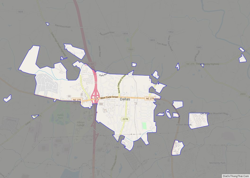
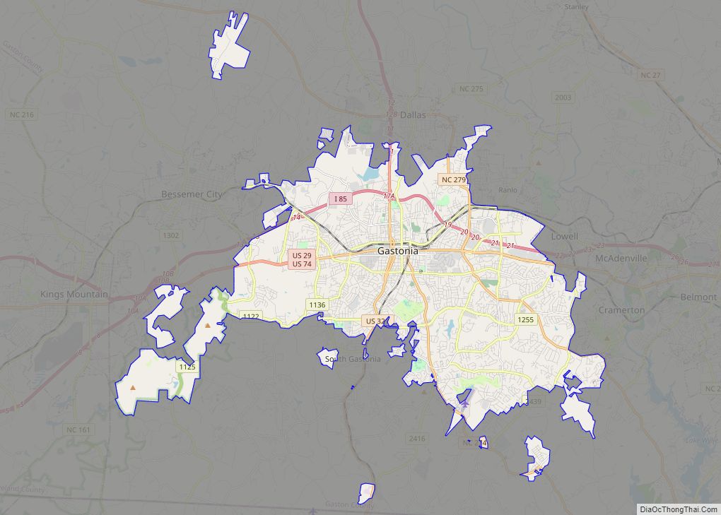
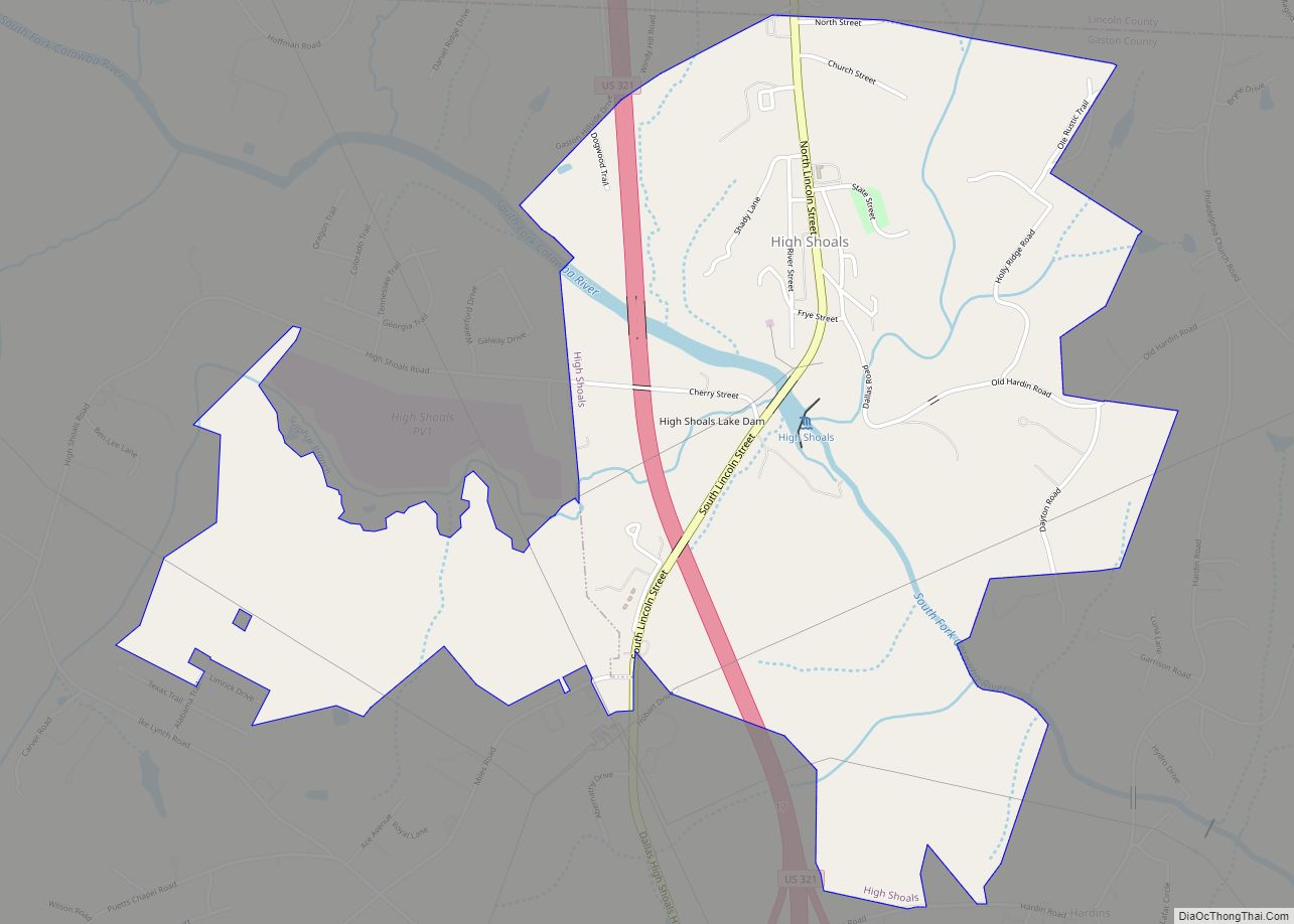
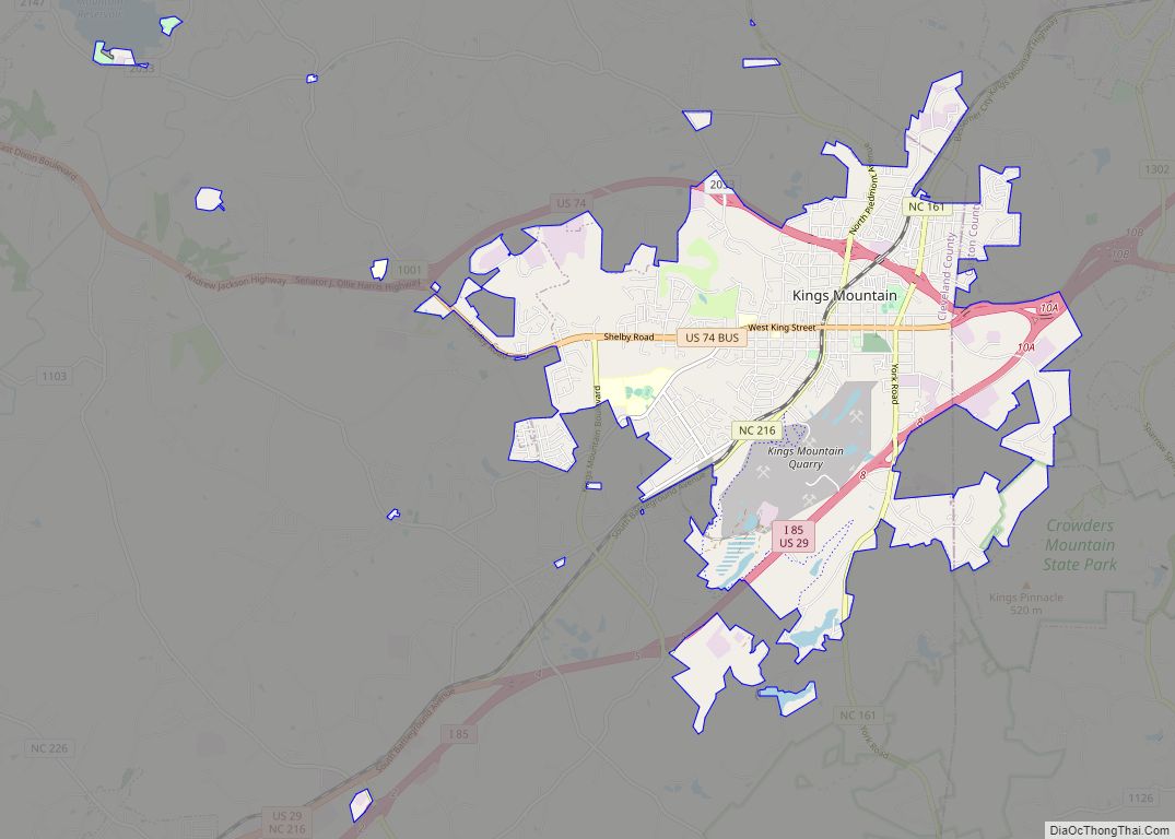
Online Interactive Map
Click on ![]() to view map in "full screen" mode.
to view map in "full screen" mode.
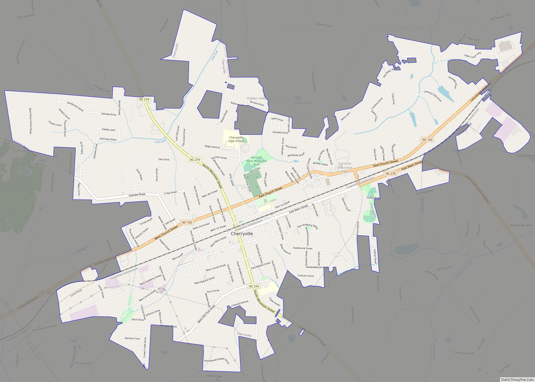
Cherryville location map. Where is Cherryville city?
History
During the last half of the 18th century, German, Dutch, and Scots-Irish families from the Colony of Pennsylvania migrated south and settled in the Cherryville area. Land grants made by King George III of Great Britain date back to 1768, and as early as 1792 Governor Samuel Ashe of North Carolina made grants in and around “White Pine”, as the settlement was known at the time. A village began to develop at a crossroads of the Morganton-to-Charleston road, closely followed by modern Highway 274 / Mountain Street, and the Old Post Road, a main thoroughfare between Salisbury, North Carolina, and Spartanburg, South Carolina.
In 1862, the Wilmington, Charlotte and Rutherford Railroad (later known as the Carolina Central Railroad) reached White Pine. Construction of the railroad westward from Cherryville was interrupted by the Civil War, so that throughout the war Cherryville was a western terminus of the railroads in North Carolina. When construction resumed and the railroad extended beyond Cherryville, the town served as a water and coal stop. Along the railroad, a local resident planted cherry trees, and the train engineers soon began calling the settlement “Cherryville”. The town was incorporated under this name in 1881.
Agriculture was Cherryville’s main economic base for many years. However, during the late 19th century, the textile industry became established in the town. Cherryville’s first cotton mill, the Cherryville Manufacturing Plant, was incorporated in 1891. It was soon followed by the opening of three other mills. By the start of the 20th century, the rural village had become an industrial community of a thousand people. Eventually, 13 mills would be opened in Cherryville, including Gaston Manufacturing Company (later operated as Dora Yarn Mills), Vivian Manufacturing Company (“Old Sardine”, later operated as Nuway Spinning Company), Melville Manufacturing Company (later Burlington Industries’ Pinnacle Plant), Howell Manufacturing Company, Rhyne Houser Manufacturing Company (later part of Burlington Industries’ Madision Division), and Carlton Yarn Mills, Inc. All of these plants have since closed.
In 1932, a trucking company began operating in Cherryville with one truck hauling produce from Florida to Cherryville. This company would become one of the largest freight carriers in the nation, known as Carolina Freight Carriers Corporation. After operating for more than sixty years, Carolina Freight was bought by the Arkansas Best Trucking Company in October 1995, and operations moved from Cherryville.
On July 13, 1966, Trains #45 & #46 of the Seaboard Air Line Railroad, hit head-on on the southeast side of the city, killing one and injuring three. GP-9’s 1911–1927–1963–1971–1979 and F-3, 4027 of SAL, were destroyed and scrapped on site. J. W. Pait of Hamlet, North Carolina, was killed in the wreck.
The Beam’s Shell Service Station and Office was listed on the National Register of Historic Places in 1997.
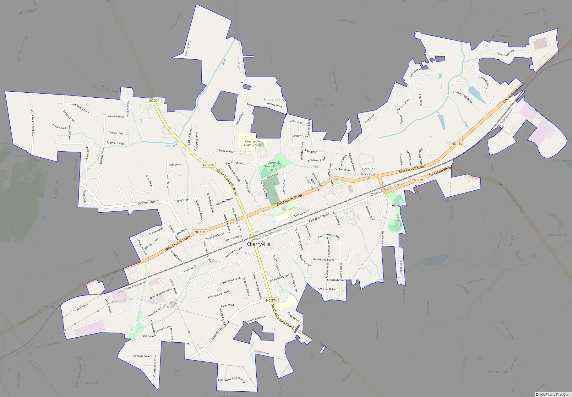
Cherryville Road Map
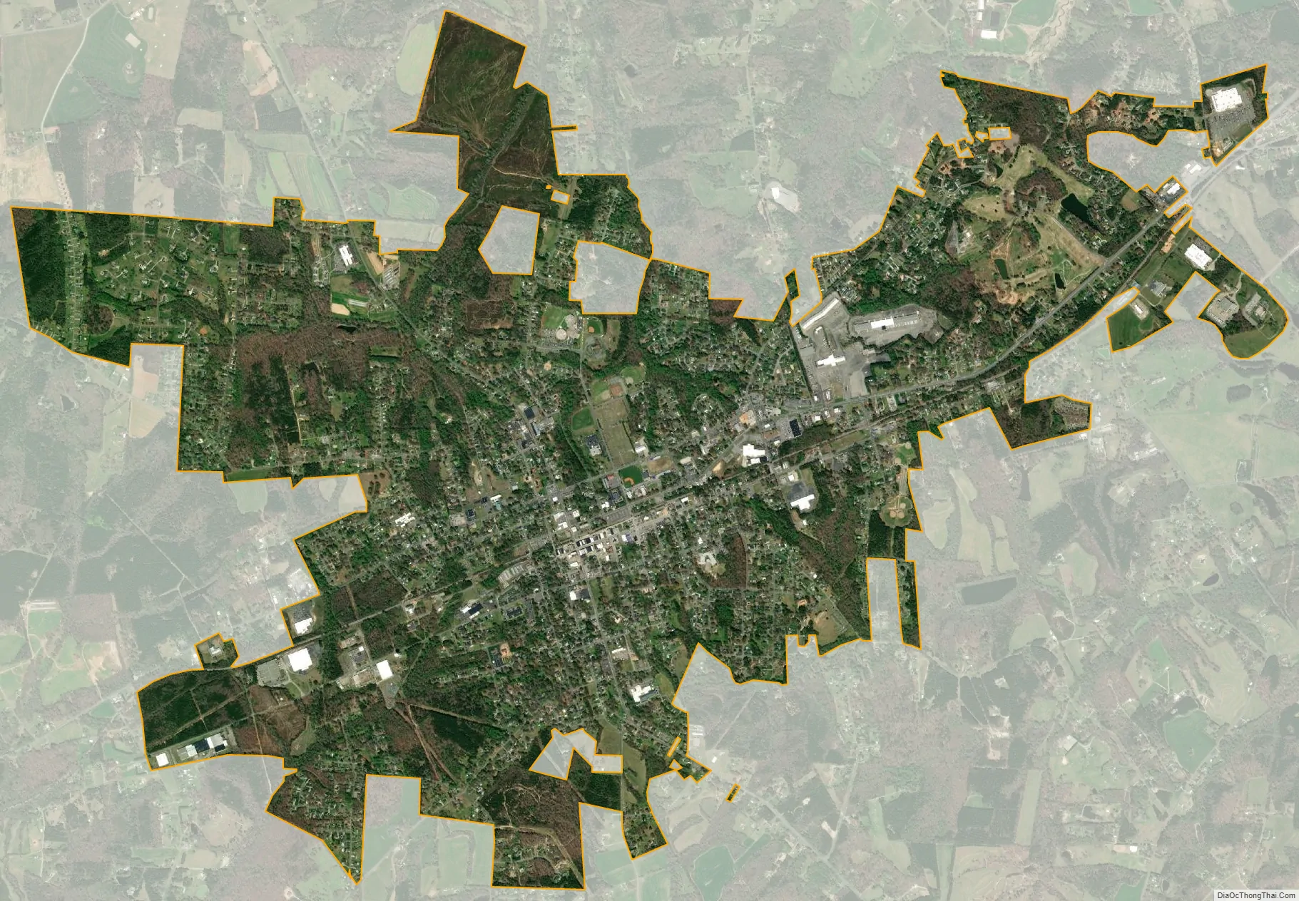
Cherryville city Satellite Map
Geography
Cherryville is located in Cherryville Township at 35°22′52″N 81°22′45″W / 35.38111°N 81.37917°W / 35.38111; -81.37917 (35.381169, -81.379168) at an elevation of 1,007 feet (307 m). According to the United States Census Bureau, the city covers a total area of 5.50 square miles (14.25 km), of which 5.49 square miles (14.22 km) is land and 0.012 square miles (0.03 km), or 0.21%, is water. The small Cherryville City Reservoir is located just southeast of the city limits.
Cherryville is located along a divide among three watersheds. The western end of Cherryville is in the watershed of Muddy Creek, a right tributary of Buffalo Creek and part of the Broad River catchment basin. The north side of Cherryville is in the Indian Creek watershed, drained by Lick Fork Creek and an unnamed tributary of Indian Creek. The south side Cherryville Township is in the Beaverdam Creek watershed, drained by unnamed right-hand tributaries of Beaverdam Creek. Indian Creek and Beaverdam Creek are tributaries of the South Fork Catawba River.
See also
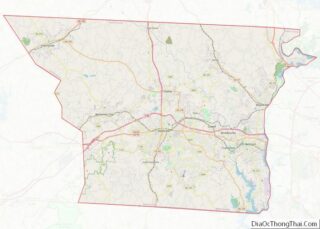
Map of North Carolina State and its subdivision:- Alamance
- Alexander
- Alleghany
- Anson
- Ashe
- Avery
- Beaufort
- Bertie
- Bladen
- Brunswick
- Buncombe
- Burke
- Cabarrus
- Caldwell
- Camden
- Carteret
- Caswell
- Catawba
- Chatham
- Cherokee
- Chowan
- Clay
- Cleveland
- Columbus
- Craven
- Cumberland
- Currituck
- Dare
- Davidson
- Davie
- Duplin
- Durham
- Edgecombe
- Forsyth
- Franklin
- Gaston
- Gates
- Graham
- Granville
- Greene
- Guilford
- Halifax
- Harnett
- Haywood
- Henderson
- Hertford
- Hoke
- Hyde
- Iredell
- Jackson
- Johnston
- Jones
- Lee
- Lenoir
- Lincoln
- Macon
- Madison
- Martin
- McDowell
- Mecklenburg
- Mitchell
- Montgomery
- Moore
- Nash
- New Hanover
- Northampton
- Onslow
- Orange
- Pamlico
- Pasquotank
- Pender
- Perquimans
- Person
- Pitt
- Polk
- Randolph
- Richmond
- Robeson
- Rockingham
- Rowan
- Rutherford
- Sampson
- Scotland
- Stanly
- Stokes
- Surry
- Swain
- Transylvania
- Tyrrell
- Union
- Vance
- Wake
- Warren
- Washington
- Watauga
- Wayne
- Wilkes
- Wilson
- Yadkin
- Yancey
- Alabama
- Alaska
- Arizona
- Arkansas
- California
- Colorado
- Connecticut
- Delaware
- District of Columbia
- Florida
- Georgia
- Hawaii
- Idaho
- Illinois
- Indiana
- Iowa
- Kansas
- Kentucky
- Louisiana
- Maine
- Maryland
- Massachusetts
- Michigan
- Minnesota
- Mississippi
- Missouri
- Montana
- Nebraska
- Nevada
- New Hampshire
- New Jersey
- New Mexico
- New York
- North Carolina
- North Dakota
- Ohio
- Oklahoma
- Oregon
- Pennsylvania
- Rhode Island
- South Carolina
- South Dakota
- Tennessee
- Texas
- Utah
- Vermont
- Virginia
- Washington
- West Virginia
- Wisconsin
- Wyoming