Hybla Valley is a census-designated place (CDP) in Fairfax County, Virginia, United States, south of Alexandria. The population was 15,801 at the 2010 census, down from 16,721 in 2000 due to a reduction in area, resulting from some of the eastward neighborhoods including much of Hollin Hills being moved to the Fort Hunt CDP. The population increased to 16,319 in the 2020 census.
| Name: | Hybla Valley CDP |
|---|---|
| LSAD Code: | 57 |
| LSAD Description: | CDP (suffix) |
| State: | Virginia |
| County: | Fairfax County |
| Elevation: | 33 ft (10 m) |
| Total Area: | 2.0 sq mi (5.3 km²) |
| Land Area: | 2.0 sq mi (5.3 km²) |
| Water Area: | 0.0 sq mi (0.0 km²) |
| Total Population: | 16,319 |
| Population Density: | 7,949/sq mi (3,069.1/km²) |
| FIPS code: | 5139304 |
| GNISfeature ID: | 1495737 |
Online Interactive Map
Click on ![]() to view map in "full screen" mode.
to view map in "full screen" mode.
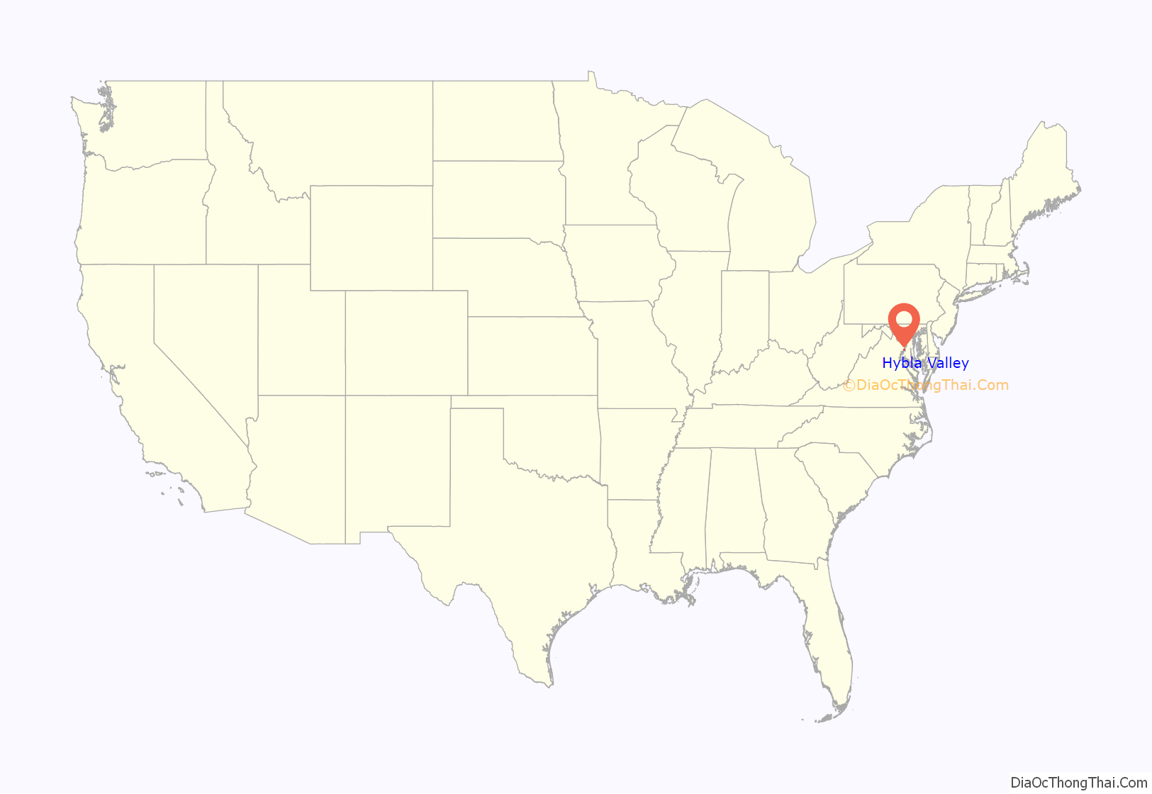
Hybla Valley location map. Where is Hybla Valley CDP?

History
The Mason family’s Hollin Hall plantation, just south of Alexandria, had become the property of several owners, including Edward Curtis Gibbs and the Wilson family. Thomson Dairy had been founded on the land in the late 19th century, and lasted until Merle Thorpe purchased it in the early 20th century. The various dairy farms, such as Sherwood Farm, Hybla Valley Farm, and Popkins Farm were converted into suburban neighborhoods, while plans for the construction of the George Washington Air Junction and the Hybla Valley Airport began. The civilian airport was proposed to be the largest in the world, yet the land, which had once been dairy farm, was abandoned and is currently Huntley Meadows Park. During World War II, the famous Hollin Hills subdivision, to the east of U.S. Route 1 towards the Potomac River, was completed by designers Charles Goodman and Robert Davenport. Also during the war, the princess of Norway sought refuge from the conflict in Europe and wished to purchase the property of Hollin Hall; President Roosevelt personally inspected the land for her, yet his assistant, Thorpe, became its new owner in the end. The land surrounding it became a turkey farm, and was eventually bought by the Mount Vernon Unitarian Church. In 1978, the Mount Vernon Unitarian Church donated land within Hollin Hills to create the wealthy Mason Hill subdivision. The west side of Hybla Valley has developed over the years, including construction of Mount Vernon Plaza in 2002.
In 1833, Gum Springs was founded by West Ford, a freed slave, skilled carpenter, and manager on George Washington’s plantation, Mount Vernon. Ford was able to develop this 214-acre farming community in Fairfax County from the sale of land he inherited from Hanna Washington, the sister-in-law of George Washington. By 1866, Ford was the second richest free black farmer in Fairfax County, Virginia. Gum Springs Farm became the nucleus of an African-American community throughout the 1800s. Gum Springs was established along what is now Route 1 (Richmond Highway) and in 1991 a historical marker was erected from the Department of Historic Resource (Marker Number E-04).
Since the early 2000s, the Hybla Valley area has experienced a significant growth of its Hispanic population. As of the 2010 census, the Hispanic population exceeded the African American population in Hybla Valley.
Hybla Valley Road Map
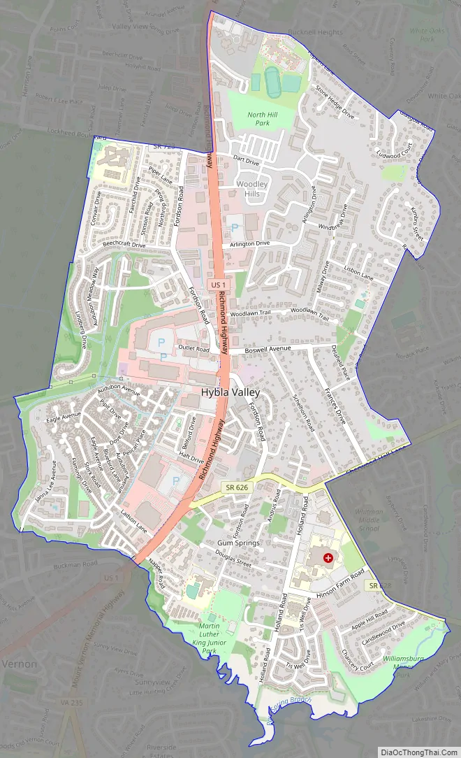
Hybla Valley city Satellite Map

Geography
Hybla Valley is located in southeastern Fairfax County at 38°44′49″N 77°04′37″W / 38.746864°N 77.076964°W / 38.746864; -77.076964 (38.746864, −77.076964). According to the United States Census Bureau, the CDP has a total area of 2.0 square miles (5.3 km), all of it land. It is bordered by Fort Hunt to the east, Mount Vernon and Woodlawn to the southwest, and Groveton to the west and north. Huntley Meadows Park is to the west within the Groveton CDP, and Little Hunting Creek separates Hybla Valley from Mount Vernon and Woodlawn.
It is characterized by rolling hills, parks, forest, and streams. Paul Springs Valley Stream Park winds past the eastern edge of the community.
See also
Map of Virginia State and its subdivision:- Accomack
- Albemarle
- Alexandria
- Alleghany
- Amelia
- Amherst
- Appomattox
- Arlington
- Augusta
- Bath
- Bedford
- Bedford City
- Bland
- Botetourt
- Bristol
- Brunswick
- Buchanan
- Buckingham
- Buena Vista
- Campbell
- Caroline
- Carroll
- Charles City
- Charlotte
- Charlottesville
- Chesapeake
- Chesterfield
- Clarke
- Clifton Forge City
- Colonial Heights
- Covington
- Craig
- Culpeper
- Cumberland
- Danville
- Dickenson
- Dinwiddie
- Emporia
- Essex
- Fairfax
- Fairfax City
- Falls Church
- Fauquier
- Floyd
- Fluvanna
- Franklin
- Frederick
- Fredericksburg
- Galax
- Giles
- Gloucester
- Goochland
- Grayson
- Greene
- Greensville
- Halifax
- Hampton
- Hanover
- Harrisonburg
- Henrico
- Henry
- Highland
- Hopewell
- Isle of Wight
- James City
- King and Queen
- King George
- King William
- Lancaster
- Lee
- Lexington
- Loudoun
- Louisa
- Lunenburg
- Lynchburg
- Madison
- Manassas
- Manassas Park
- Martinsville
- Mathews
- Mecklenburg
- Middlesex
- Montgomery
- Nelson
- New Kent
- Newport News
- Norfolk
- Northampton
- Northumberland
- Norton
- Nottoway
- Orange
- Page
- Patrick
- Petersburg
- Pittsylvania
- Poquoson
- Portsmouth
- Powhatan
- Prince Edward
- Prince George
- Prince William
- Pulaski
- Radford
- Rappahannock
- Richmond
- Roanoke
- Roanoke City
- Rockbridge
- Rockingham
- Russell
- Salem
- Scott
- Shenandoah
- Smyth
- Southampton
- Spotsylvania
- Stafford
- Staunton
- Suffolk
- Surry
- Sussex
- Tazewell
- Virginia Beach
- Warren
- Washington
- Waynesboro
- Westmoreland
- Williamsburg
- Winchester
- Wise
- Wythe
- York
- Alabama
- Alaska
- Arizona
- Arkansas
- California
- Colorado
- Connecticut
- Delaware
- District of Columbia
- Florida
- Georgia
- Hawaii
- Idaho
- Illinois
- Indiana
- Iowa
- Kansas
- Kentucky
- Louisiana
- Maine
- Maryland
- Massachusetts
- Michigan
- Minnesota
- Mississippi
- Missouri
- Montana
- Nebraska
- Nevada
- New Hampshire
- New Jersey
- New Mexico
- New York
- North Carolina
- North Dakota
- Ohio
- Oklahoma
- Oregon
- Pennsylvania
- Rhode Island
- South Carolina
- South Dakota
- Tennessee
- Texas
- Utah
- Vermont
- Virginia
- Washington
- West Virginia
- Wisconsin
- Wyoming


