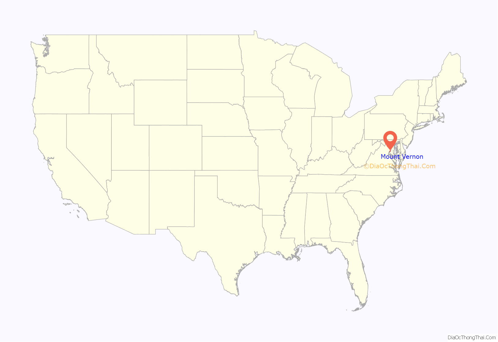
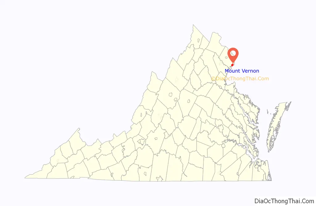
Mount Vernon is a census-designated place (CDP) and unincorporated community in Fairfax County, Virginia, United States. The population was 12,416 at the 2010 census. Primarily due to its historical significance and natural recreation and beauty, the Mount Vernon area receives over one million tourists each year.
While the name “Mount Vernon”—drawn from the Mount Vernon estate, the home of George Washington located south of Alexandria—is often used locally to refer to the entire unincorporated area between Old Town Alexandria and Fort Belvoir, Mount Vernon as defined by the Census Bureau encompasses only the portion bounded by the Potomac River to the south, Fort Belvoir to the west, U.S. Route 1 to the north, and Little Hunting Creek to the east.
| Name: | Mount Vernon CDP |
|---|---|
| LSAD Code: | 57 |
| LSAD Description: | CDP (suffix) |
| State: | Virginia |
| County: | Fairfax County |
| Elevation: | 69 ft (24 m) |
| Total Area: | 6.07 sq mi (15.7 km²) |
| Land Area: | 5.24 sq mi (13.6 km²) |
| Water Area: | 0.83 sq mi (2.1 km²) |
| Total Population: | 12,416 |
| Population Density: | 2,000/sq mi (790/km²) |
| ZIP code: | 22309, 22121 |
| Area code: | 703, 571 |
| FIPS code: | 5154144 |
| GNISfeature ID: | 2391234 |
Online Interactive Map
Click on ![]() to view map in "full screen" mode.
to view map in "full screen" mode.
Mount Vernon location map. Where is Mount Vernon CDP?
History
The Mount Vernon area is all land which was once a part of the farms of George and Martha Washington’s expansive Mount Vernon estate. Much of the land was gradually donated through the dying wishes of George and Martha Washington to the public and others who are affiliated with the Washington family. The Neighboring/incorporated Woodlawn Plantation and area which was given to Washington’s grand-daughter, Eleanor Parke Custis Lewis. The Gum Springs portion was established by slaves and blacks which were generally escaped or freed slaves from the Mount Vernon Estate and area.
Beginning with the 2010 United States Census, the U.S. Census Bureau defined the portion of Mount Vernon north of U.S. Route 1 as a separate CDP, Woodlawn, reducing Mount Vernon’s land area by approximately a third and its population by more than half.
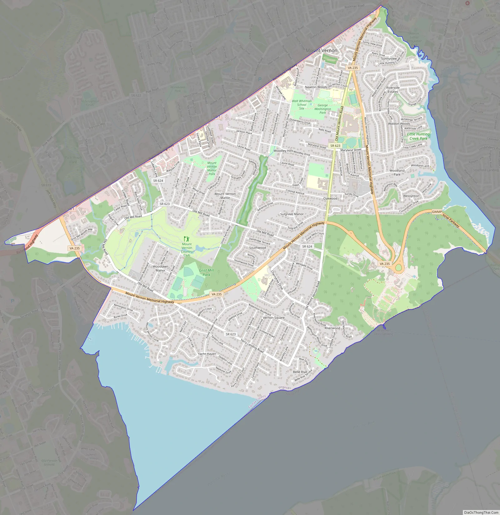
Mount Vernon Road Map
Mount Vernon city Satellite Map

Geography
Mount Vernon is located at 38°44′07″N 77°05′43″W / 38.7351590°N 77.0953670°W / 38.7351590; -77.0953670 (38.7351590, −77.0953670) at an elevation of 79 feet (24 m). Located on U.S. Route 1 in Northern Virginia, Mount Vernon is 13 miles (21 km) south-southwest of downtown Washington, D.C. and 13 miles (21 km) southeast of Fairfax, the county seat.
Mount Vernon sits on the Atlantic Coastal Plain on the north side of the Potomac River. Two small tributaries of the river flow south through the CDP: Dogue Creek runs through the western part of the CDP, and Little Hunting Creek forms the CDP’s eastern border.
According to the United States Census Bureau, the CDP has a total area of 6.07 square miles (15.7 km) of which 5.24 square miles (13.6 km) is land and 0.83 square miles (2.1 km) (14%) is water.
As a suburb of Washington, D.C., Mount Vernon is a part of both the Washington Metropolitan Area and the larger Baltimore-Washington Metropolitan Area. It borders other Washington suburbs on all sides, including: Woodlawn and Hybla Valley to the north, Fort Hunt to the east, Accokeek and Bryans Road, Maryland across the Potomac River to the southeast, and Fort Belvoir to the west.
See also
Map of Virginia State and its subdivision:- Accomack
- Albemarle
- Alexandria
- Alleghany
- Amelia
- Amherst
- Appomattox
- Arlington
- Augusta
- Bath
- Bedford
- Bedford City
- Bland
- Botetourt
- Bristol
- Brunswick
- Buchanan
- Buckingham
- Buena Vista
- Campbell
- Caroline
- Carroll
- Charles City
- Charlotte
- Charlottesville
- Chesapeake
- Chesterfield
- Clarke
- Clifton Forge City
- Colonial Heights
- Covington
- Craig
- Culpeper
- Cumberland
- Danville
- Dickenson
- Dinwiddie
- Emporia
- Essex
- Fairfax
- Fairfax City
- Falls Church
- Fauquier
- Floyd
- Fluvanna
- Franklin
- Frederick
- Fredericksburg
- Galax
- Giles
- Gloucester
- Goochland
- Grayson
- Greene
- Greensville
- Halifax
- Hampton
- Hanover
- Harrisonburg
- Henrico
- Henry
- Highland
- Hopewell
- Isle of Wight
- James City
- King and Queen
- King George
- King William
- Lancaster
- Lee
- Lexington
- Loudoun
- Louisa
- Lunenburg
- Lynchburg
- Madison
- Manassas
- Manassas Park
- Martinsville
- Mathews
- Mecklenburg
- Middlesex
- Montgomery
- Nelson
- New Kent
- Newport News
- Norfolk
- Northampton
- Northumberland
- Norton
- Nottoway
- Orange
- Page
- Patrick
- Petersburg
- Pittsylvania
- Poquoson
- Portsmouth
- Powhatan
- Prince Edward
- Prince George
- Prince William
- Pulaski
- Radford
- Rappahannock
- Richmond
- Roanoke
- Roanoke City
- Rockbridge
- Rockingham
- Russell
- Salem
- Scott
- Shenandoah
- Smyth
- Southampton
- Spotsylvania
- Stafford
- Staunton
- Suffolk
- Surry
- Sussex
- Tazewell
- Virginia Beach
- Warren
- Washington
- Waynesboro
- Westmoreland
- Williamsburg
- Winchester
- Wise
- Wythe
- York
- Alabama
- Alaska
- Arizona
- Arkansas
- California
- Colorado
- Connecticut
- Delaware
- District of Columbia
- Florida
- Georgia
- Hawaii
- Idaho
- Illinois
- Indiana
- Iowa
- Kansas
- Kentucky
- Louisiana
- Maine
- Maryland
- Massachusetts
- Michigan
- Minnesota
- Mississippi
- Missouri
- Montana
- Nebraska
- Nevada
- New Hampshire
- New Jersey
- New Mexico
- New York
- North Carolina
- North Dakota
- Ohio
- Oklahoma
- Oregon
- Pennsylvania
- Rhode Island
- South Carolina
- South Dakota
- Tennessee
- Texas
- Utah
- Vermont
- Virginia
- Washington
- West Virginia
- Wisconsin
- Wyoming


