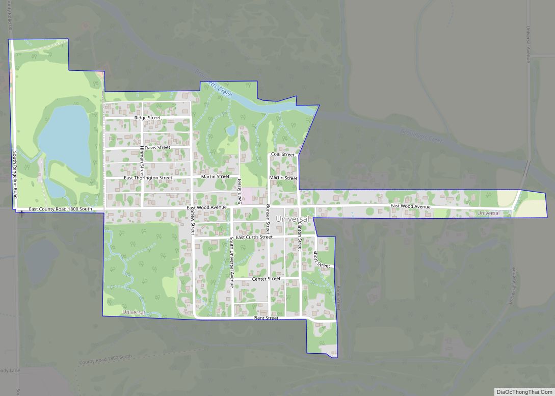
Blanford is a census-designated place in Clinton Township, Vermillion County, in the U.S. state of Indiana.
| Name: | Blanford CDP |
|---|---|
| LSAD Code: | 57 |
| LSAD Description: | CDP (suffix) |
| State: | Indiana |
| County: | Vermillion County |
| Elevation: | 571 ft (174 m) |
| Total Area: | 0.73 sq mi (1.90 km²) |
| Land Area: | 0.73 sq mi (1.90 km²) |
| Water Area: | 0.00 sq mi (0.00 km²) |
| Total Population: | 280 |
| Population Density: | 381.47/sq mi (147.26/km²) |
| ZIP code: | 47842 |
| Area code: | 765 |
| FIPS code: | 1805662 |
| GNISfeature ID: | 431177 |
Online Interactive Map
Click on ![]() to view map in "full screen" mode.
to view map in "full screen" mode.
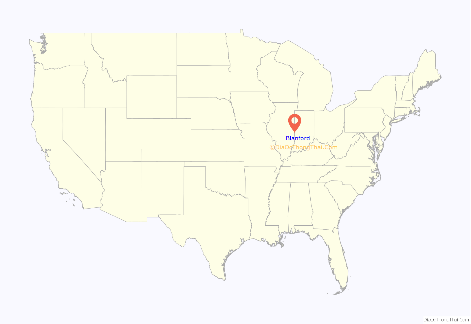
Blanford location map. Where is Blanford CDP?
History
Blanford was laid out in 1912. The community was named for L. S. Blanford, who owned the land where the village is located. A post office has been in operation at Blanford since 1915.
In January 1923, there was an expulsion of the small African American community of the old mining town after an ultimatum was issued at a meeting of over 400 white residents for all African-Americans to leave town or turn over the African-American that had allegedly assaulted an 11 year old girl. There also was a shootout at a dance hall shortly afterwards where the Sheriff of Vermillion County, Harry Newland, was investigating shots fired at the last two African Americans remaining in town which had killed three white miners who had fired shots at the sheriff.
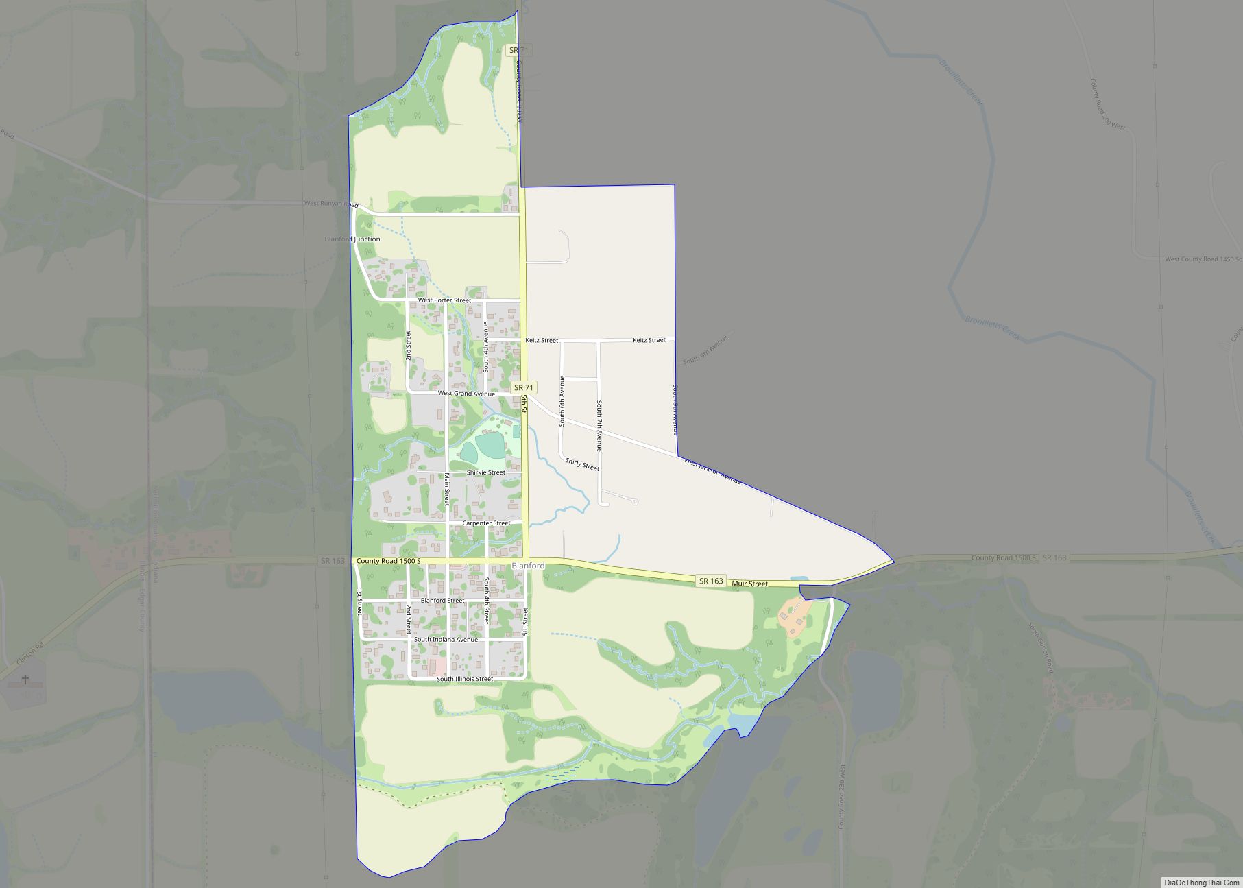
Blanford Road Map
Blanford city Satellite Map
Geography
Blanford is located at 39°39′54″N 87°31′14″W / 39.66500°N 87.52056°W / 39.66500; -87.52056 (39.665060, -87.520580).
See also
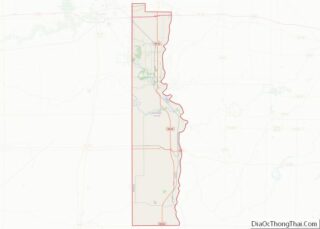
Map of Indiana State and its subdivision:- Adams
- Allen
- Bartholomew
- Benton
- Blackford
- Boone
- Brown
- Carroll
- Cass
- Clark
- Clay
- Clinton
- Crawford
- Daviess
- De Kalb
- Dearborn
- Decatur
- Delaware
- Dubois
- Elkhart
- Fayette
- Floyd
- Fountain
- Franklin
- Fulton
- Gibson
- Grant
- Greene
- Hamilton
- Hancock
- Harrison
- Hendricks
- Henry
- Howard
- Huntington
- Jackson
- Jasper
- Jay
- Jefferson
- Jennings
- Johnson
- Knox
- Kosciusko
- LaGrange
- Lake
- Lake Michigan
- LaPorte
- Lawrence
- Madison
- Marion
- Marshall
- Martin
- Miami
- Monroe
- Montgomery
- Morgan
- Newton
- Noble
- Ohio
- Orange
- Owen
- Parke
- Perry
- Pike
- Porter
- Posey
- Pulaski
- Putnam
- Randolph
- Ripley
- Rush
- Saint Joseph
- Scott
- Shelby
- Spencer
- Starke
- Steuben
- Sullivan
- Switzerland
- Tippecanoe
- Tipton
- Union
- Vanderburgh
- Vermillion
- Vigo
- Wabash
- Warren
- Warrick
- Washington
- Wayne
- Wells
- White
- Whitley
- Alabama
- Alaska
- Arizona
- Arkansas
- California
- Colorado
- Connecticut
- Delaware
- District of Columbia
- Florida
- Georgia
- Hawaii
- Idaho
- Illinois
- Indiana
- Iowa
- Kansas
- Kentucky
- Louisiana
- Maine
- Maryland
- Massachusetts
- Michigan
- Minnesota
- Mississippi
- Missouri
- Montana
- Nebraska
- Nevada
- New Hampshire
- New Jersey
- New Mexico
- New York
- North Carolina
- North Dakota
- Ohio
- Oklahoma
- Oregon
- Pennsylvania
- Rhode Island
- South Carolina
- South Dakota
- Tennessee
- Texas
- Utah
- Vermont
- Virginia
- Washington
- West Virginia
- Wisconsin
- Wyoming
